The best mountain hikes around Achern
4.6
(72)
228
hikers
24
hikes
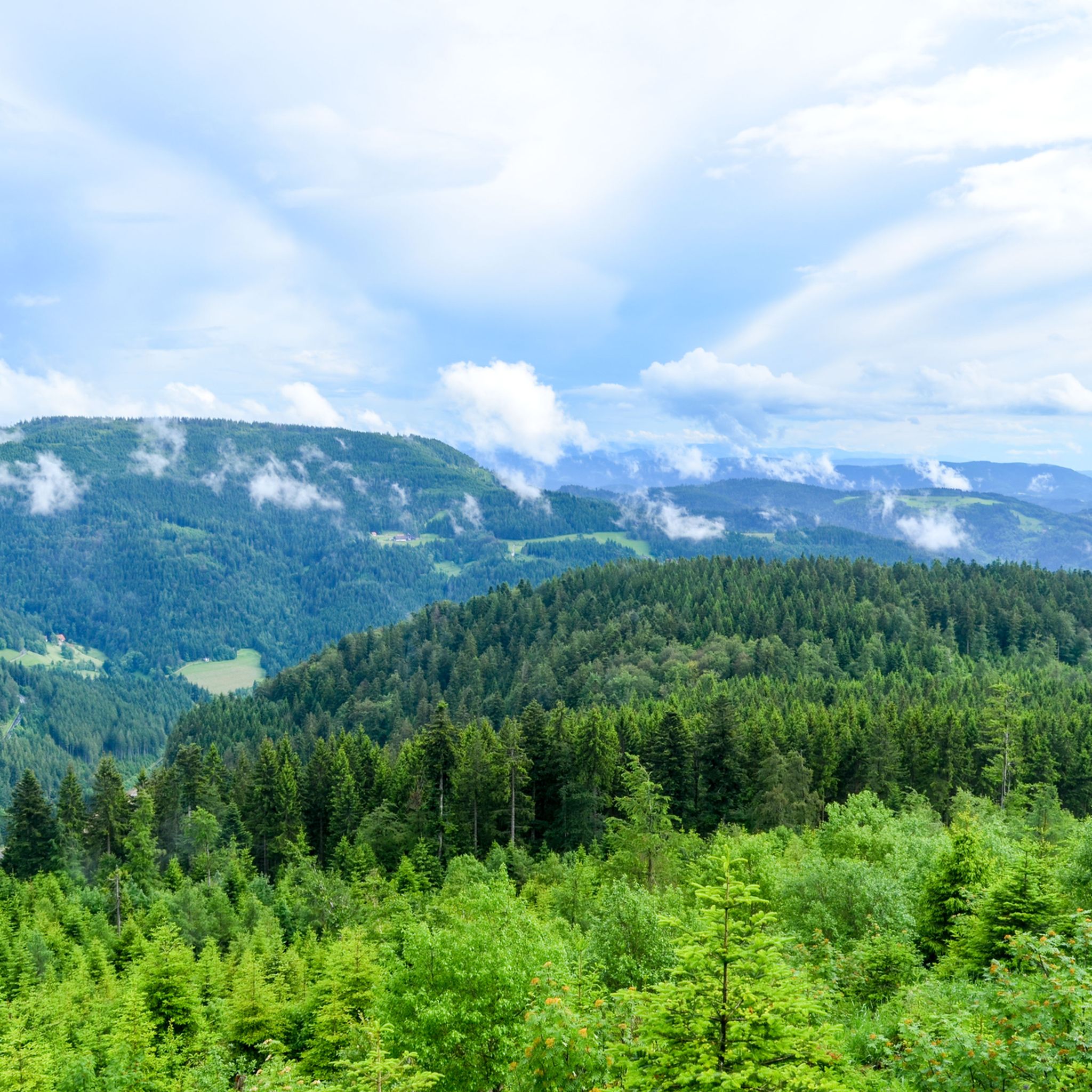
Mountaineering routes around Achern offer diverse terrain at the edge of the Black Forest and near the Rhine Valley. The region features significant mountain elevations, including the Hornisgrinde, the highest peak in the northern Black Forest at 1,164 meters. The landscape is characterized by dense forests, river plains of the Acher and Rench rivers, and challenging ascents leading to panoramic views across the Rhine Valley to the Vosges mountains. Natural attractions like the Edelfrauengrab Waterfalls are integrated into many of…
Last updated: August 11, 2026
4.7
(30)
77
hikers
Hard mountaineering route. Good fitness required. Sure-footedness, sturdy shoes and alpine experience required.
5.0
(3)
17
hikers
Hard mountaineering route. Good fitness required. Sure-footedness, sturdy shoes and alpine experience required.

Sign up for free
5.0
(6)
16
hikers
Hard mountaineering route. Good fitness required. Sure-footedness, sturdy shoes and alpine experience required.
5.0
(2)
8
hikers
Moderate mountaineering route. Great for any fitness level. Mostly accessible paths. Sure-footedness required.
5.0
(1)
4
hikers
20.7km
07:31
1,190m
1,190m
Hard mountaineering route. Very good fitness required. Sure-footedness, sturdy shoes and alpine experience required.
Get access to more routes and recommendations from other explorers.
Sign up for free
Already have an account?
Our route recommendations are based on thousands of hikes, rides, and runs completed by other people on komoot.
Start today with a free account
Your next adventure awaits.
Login or Signup
Popular around Achern
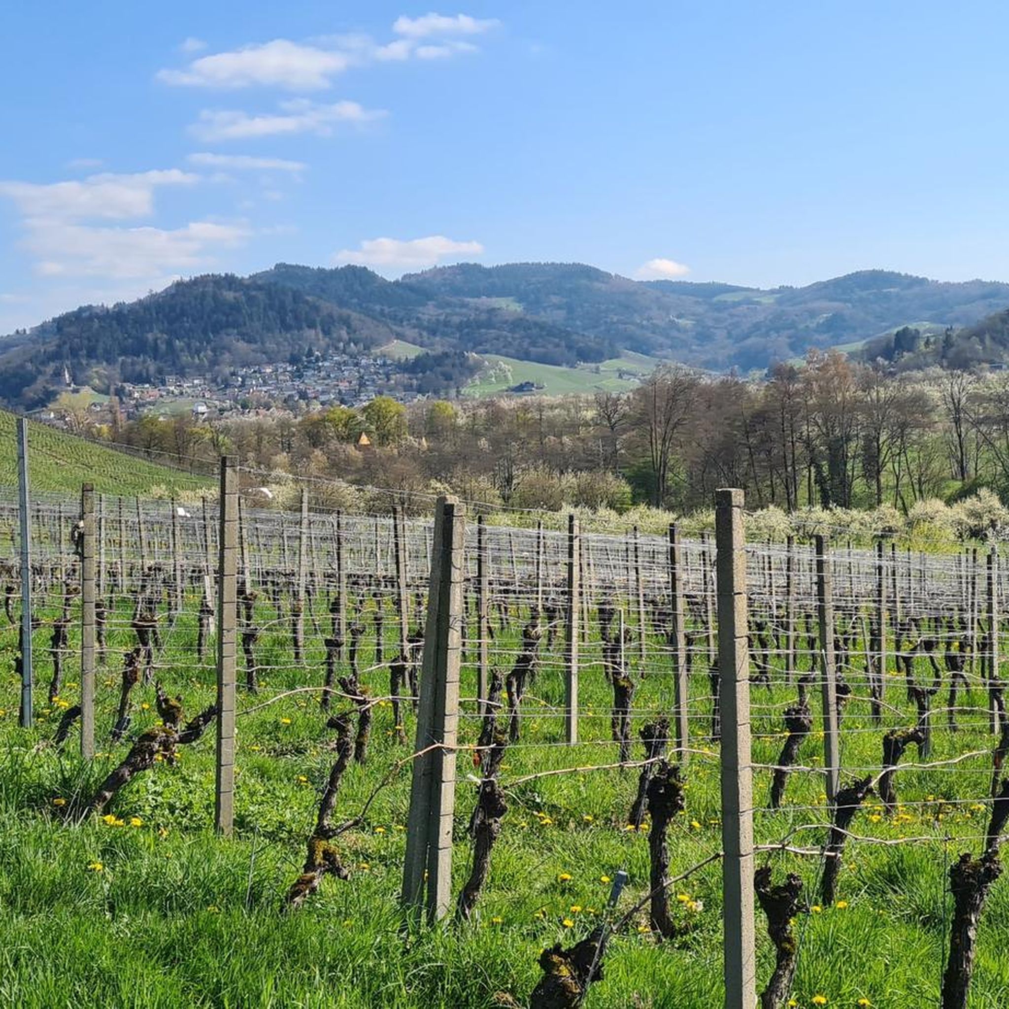
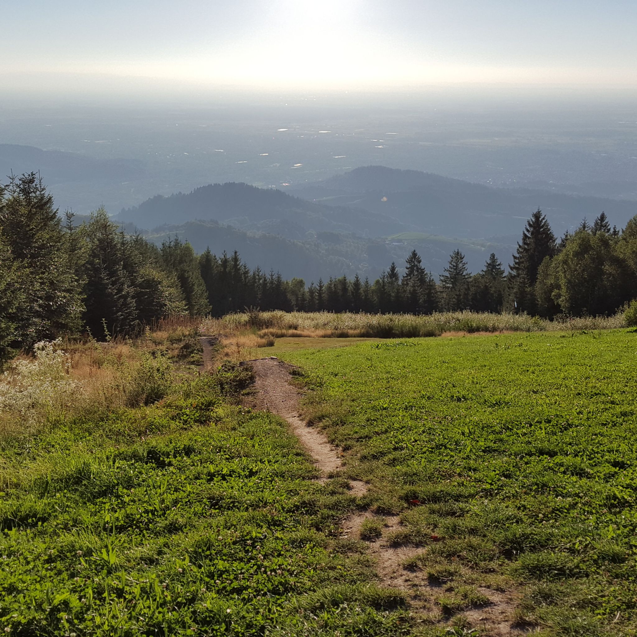
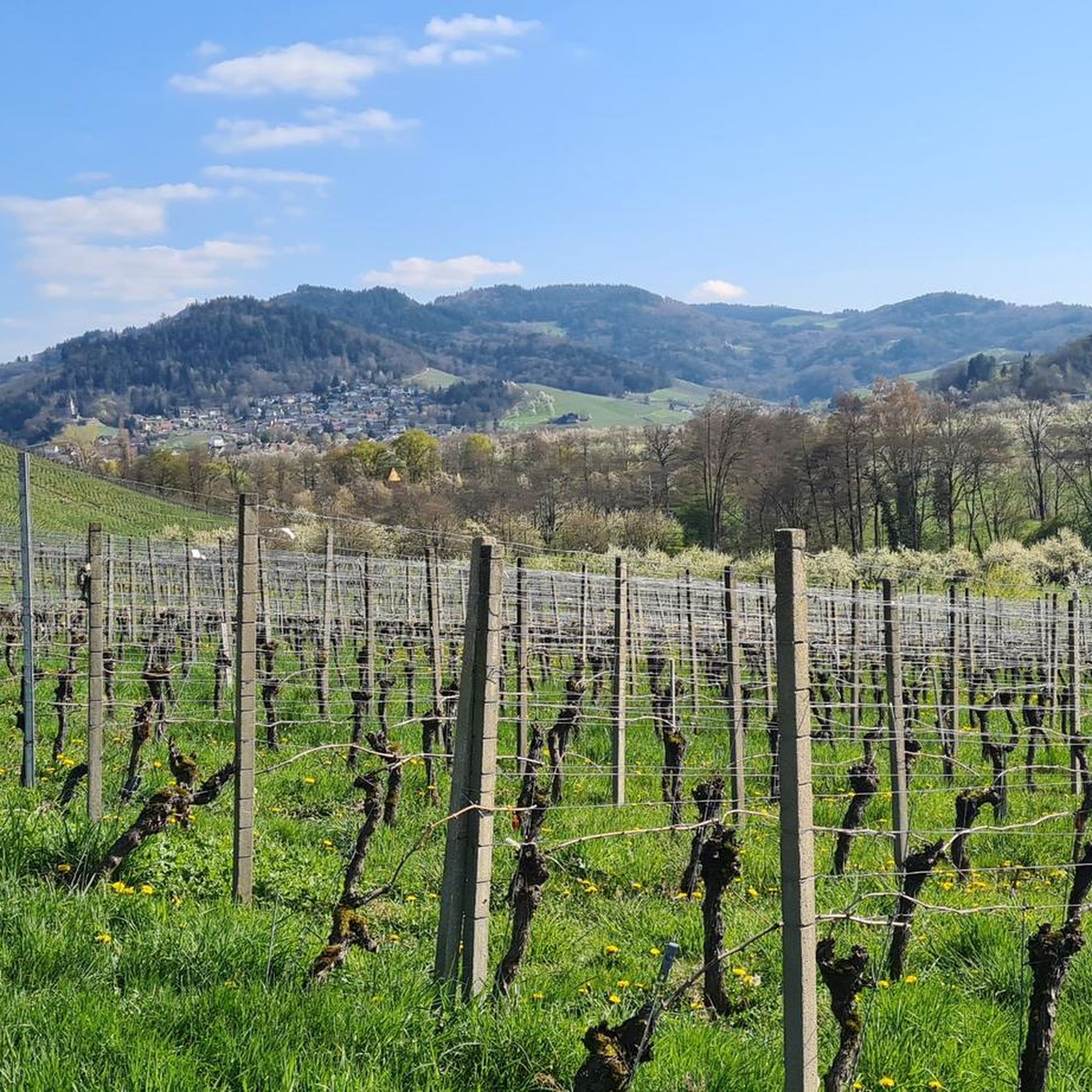



Tips from the Community

Coming from the west, the first point with a great view and also easily accessible from the west - the difficult sections come further east.
0
0
Schnappsbrunnen with a smaller selection, but certainly lovingly made. Cooling is not done electrically but with cold (spring?) water flowing between the drink crates.
0
0

During the last ice age (approx. 70,000 to 10,000 years ago), the entire Hornisgrinde area was covered by a firn cap, i.e. snow that became denser and more compact due to the pressure of new snow masses and repeated melting and freezing. On the eastern flank of the Hornisgrinde, more snow accumulated in the area of (spring) niches than in the immediate surroundings. Over time, small hanging glaciers formed, which carved out two hollows (cirques) from the Bunter Sandstone cliff: the Kleine and Große Biberkessel. After the ice retreated, a lake formed in both cirques. The lake in the Große Biberkessel has long since silted up, whereas in the Kleine Biberkessel – in a moorland area – a small remnant lake still exists. Like many other silting-up or endorheic lakes in the Black Forest, it is called a "Blindsee" (blind lake).
0
0

During the "Seebach - Hornisgrinde-MTB Panoramatour", here was a welcome opportunity for a refreshing drinking break. The Grinde-Hütte is characterized by its attractive scenic location and a very inviting and friendly area, which also offers gastronomic services.
0
0

a must if you like drinking schnapps
0
0
very nice wide view
1
0

a beautiful place to recharge
0
0

Really beautiful viewpoint, worth the hike
2
0
Frequently Asked Questions
How many mountaineering routes are available around Achern?
Achern offers a wide selection of mountaineering routes, with over 20 trails to explore. These range from moderate paths to challenging mountain routes, catering to various skill levels.
What kind of terrain can I expect on mountaineering routes near Achern?
The terrain around Achern is diverse, featuring dense forests, river plains of the Acher and Rench rivers, and significant mountain elevations. You'll encounter challenging ascents, especially towards the Hornisgrinde, and be rewarded with panoramic views across the Rhine Valley to the Vosges mountains.
Are there any challenging mountaineering routes for experienced hikers?
Yes, Achern is known for its challenging mountain hikes. For a demanding trek, consider the Edelfrauengrab Waterfalls – Herrenschrofen Rock Formation loop from Hornisgrinde-Biberkessel, a 12.8-mile trail with significant elevation gain. Another difficult option is the Mummelsee – Hornisgrinde Tower loop from Seebach, which covers over 10 miles with substantial ascents.
Can I find routes that feature waterfalls?
Absolutely! The Edelfrauengrab Waterfalls are a prominent natural attraction integrated into several routes. A popular difficult option is the Edelfrauengrab Waterfalls – Edelfrauengrab Waterfalls loop from Gottschlägtal - Karlsruher Grat. You can also explore other waterfalls in the region, such as the Gaishöll Waterfalls or the All Saints Waterfalls.
Are there any moderate mountaineering routes suitable for beginners or those seeking a less strenuous hike?
Yes, there are several moderate options. The Bismarck Tower on Hornisgrinde – Mummelsee loop from Hornisgrinde-Biberkessel is a moderate 2.7-mile path offering views of the Hornisgrinde and Mummelsee. Another good choice is the Hornisgrinde Summit – Mummelsee loop from Unterstmatt, a moderate 8-mile route.
What are some notable landmarks or viewpoints I can expect to see on these routes?
Many routes offer stunning views, particularly from the Hornisgrinde, the highest mountain in the northern Black Forest. You might also encounter viewpoints like the Geigerskopf Tower or the Brennte Schrofen viewpoint, offering expansive vistas across the Rhine Valley to the Vosges mountains.
Are there any circular mountaineering routes around Achern?
Many of the mountaineering routes around Achern are designed as loops, allowing you to start and end at the same point. Examples include the popular Edelfrauengrab Waterfalls loop and the Bismarck Tower on Hornisgrinde – Mummelsee loop.
Can I find places to eat or rest along the mountaineering trails?
Yes, the region has several huts and rest stops. You might come across places like the Darmstädter Hut, Sackmann's Panorama Hut, or the Seibelseckle Rest Hut, which can provide opportunities for a break or a meal.
What do other mountaineers say about the routes in Achern?
The mountaineering routes in Achern are highly regarded by the komoot community, with an average rating of 4.8 stars from over 60 reviews. Users often praise the challenging ascents, diverse landscapes, and the stunning views of the Black Forest and Rhine Valley.
Is Achern well-connected for reaching the trailheads?
Achern benefits from good rail and motorway connections, making it easily accessible for visitors. This allows for convenient travel to various starting points for the mountaineering routes in the surrounding Black Forest area.
What is the best time of year for mountaineering in Achern?
The Black Forest region, including Achern, is generally excellent for mountaineering from spring through autumn. During these seasons, the weather is typically more stable, and the trails are clear. Winter mountaineering is possible but requires appropriate gear and experience due to snow and ice conditions, especially at higher elevations like the Hornisgrinde.
Most popular routes around Achern
Most popular attractions around Achern

Get inspired with the komoot mobile app


Explore more
Browse the best Mountain Hikes & Routes in other regions.
