The best mountain hikes around Seebach
4.6
(74)
226
hikers
23
hikes
Mountaineering routes around Seebach traverse the northern Black Forest, characterized by dense woodlands, deep valleys, and notable rock formations. The region features a mix of challenging ascents and scenic paths, often leading to waterfalls and mountain lakes. Elevations vary, offering diverse terrain for experienced mountaineers.
Best mountaineering routes around Seebach
- The most popular mountaineering route is Edelfrauengrab Waterfalls – Edelfrauengrab Waterfalls loop from Gottschlägtal - Karlsruher Grat, a 5.4 miles (8.7 km) trail that takes 3 hours 9 minutes…
Last updated: October 5, 2026
4.7
(30)
77
hikers
Hard mountaineering route. Good fitness required. Sure-footedness, sturdy shoes and alpine experience required.
4.5
(16)
43
hikers
10.9km
03:46
550m
550m
Hard mountaineering route. Good fitness required. Sure-footedness, sturdy shoes and alpine experience required.

5.0
(3)
17
hikers
Hard mountaineering route. Good fitness required. Sure-footedness, sturdy shoes and alpine experience required.
4.6
(5)
17
hikers
5.50km
02:03
290m
290m
Hard mountaineering route. Good fitness required. Sure-footedness, sturdy shoes and alpine experience required.
5.0
(6)
16
hikers
Hard mountaineering route. Good fitness required. Sure-footedness, sturdy shoes and alpine experience required.
Get access to more routes and recommendations from other explorers.
Already have an account?
Our route recommendations are based on thousands of hikes, rides, and runs completed by other people on komoot.
Start today with a free account
Your next adventure awaits.
Popular around Seebach
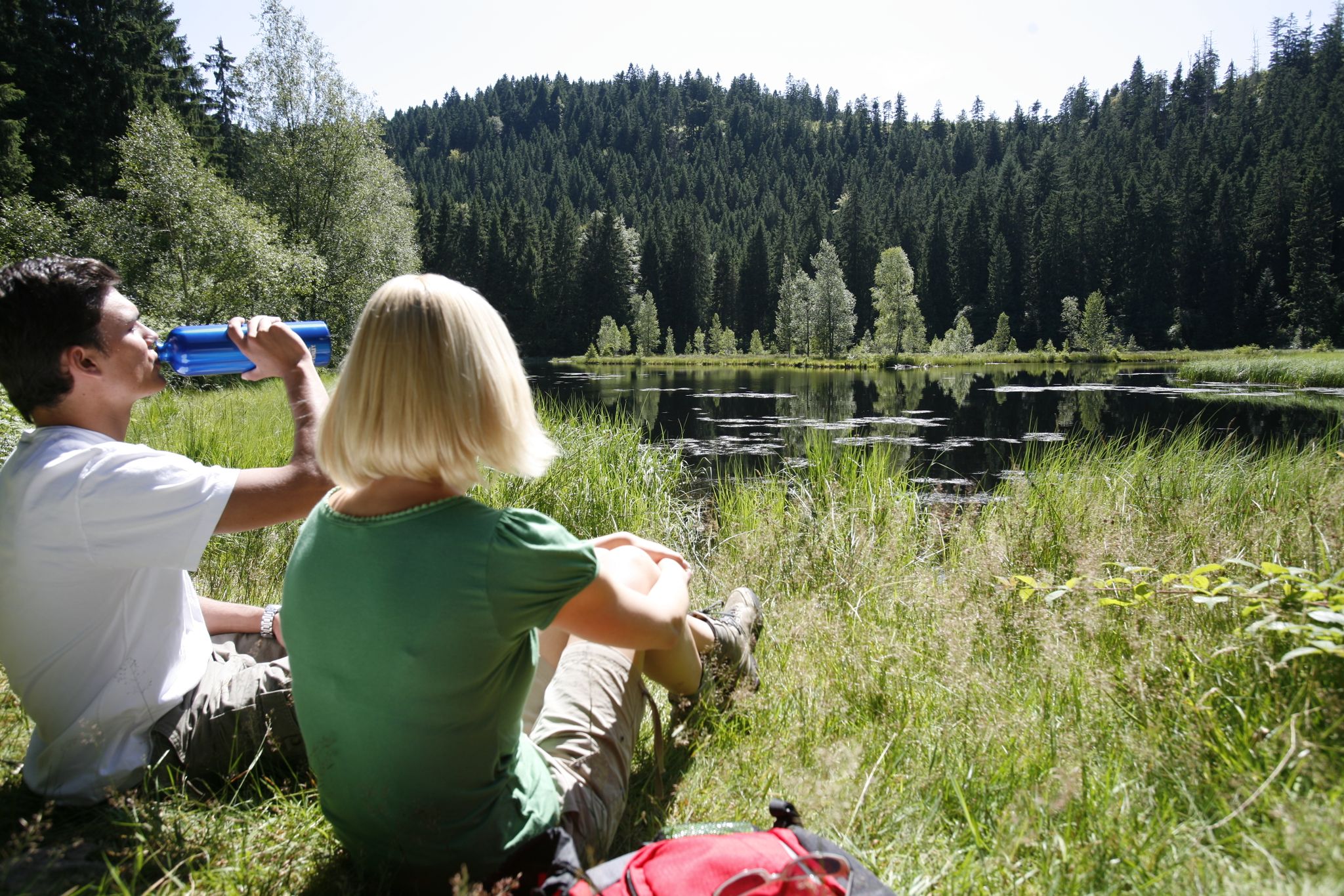
Baiersbronn Seensteig Lake Trail – Hiking heaven through the Black Forest in Germany
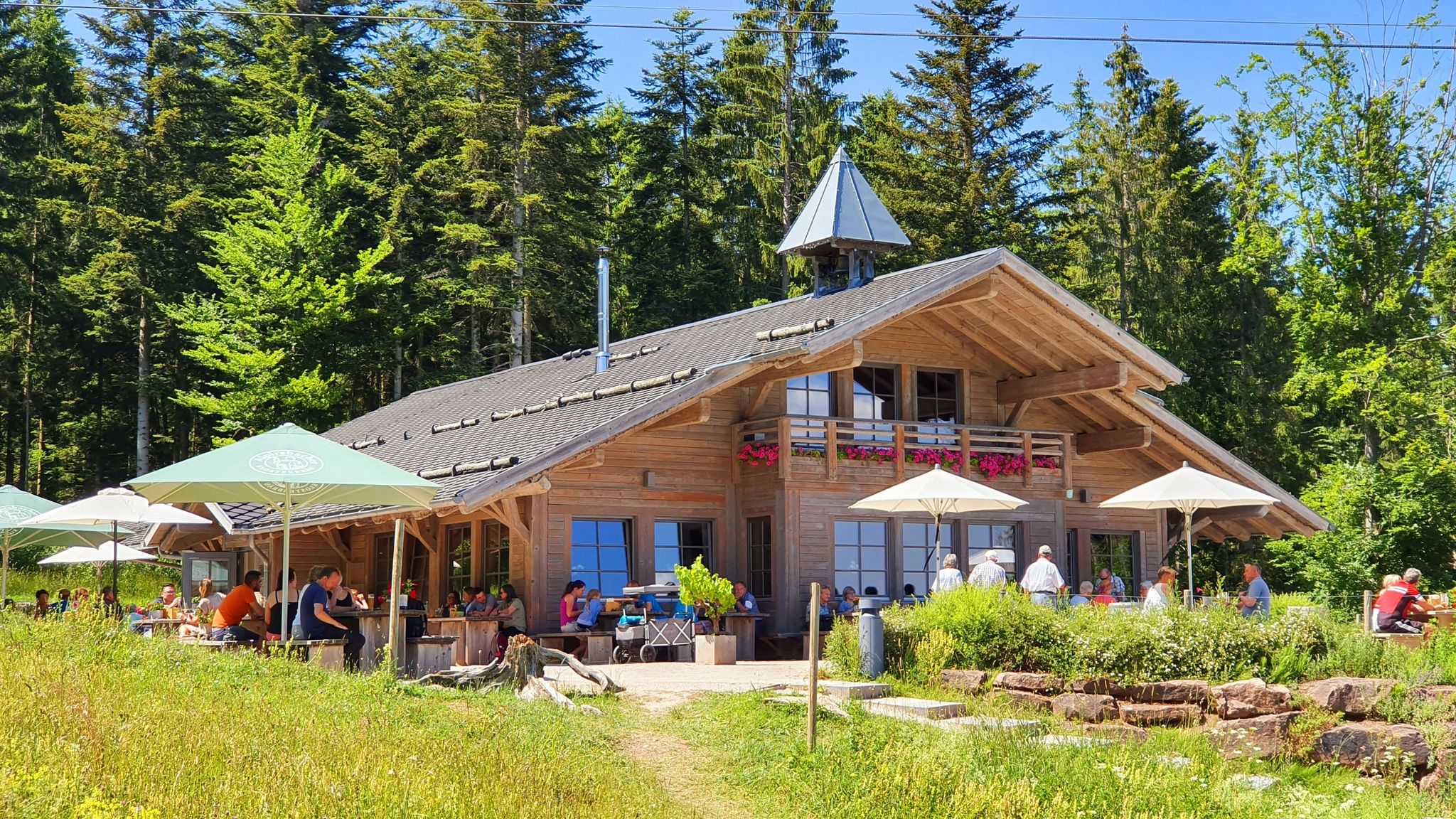
The Black Forest’s huts – moments of enjoyment & relaxation in the forest

Coolcation in the Black Forest – hiking and cooling off in summer
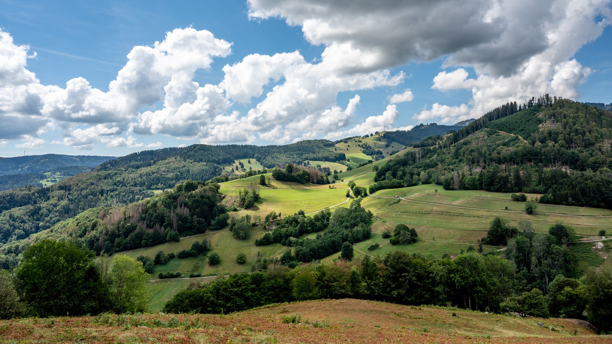
The National Natural Landscapes in Baden-Württemberg
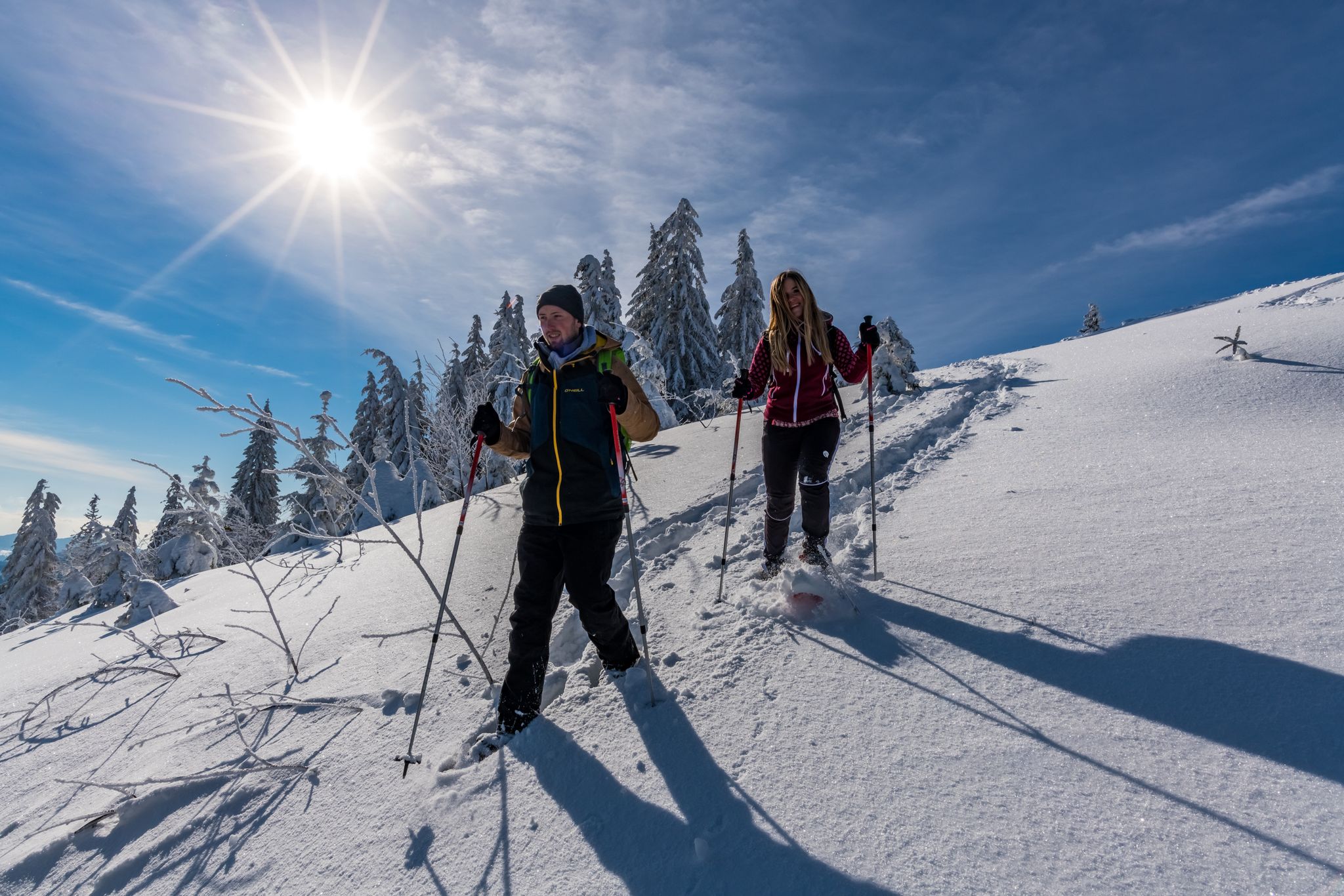
The Forest in its white dress – snowshoe Tours in the Black Forest
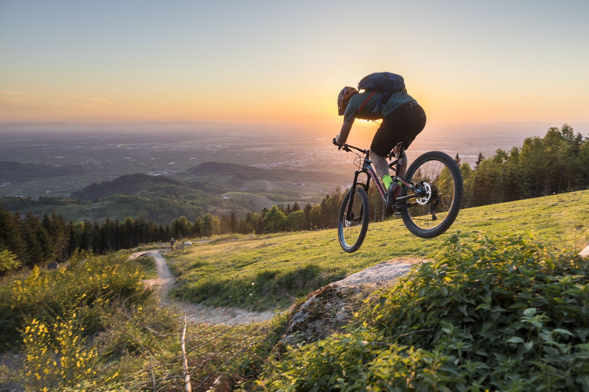
MTB flow in BW! Trails from the Schwarzwald to the Odenwald
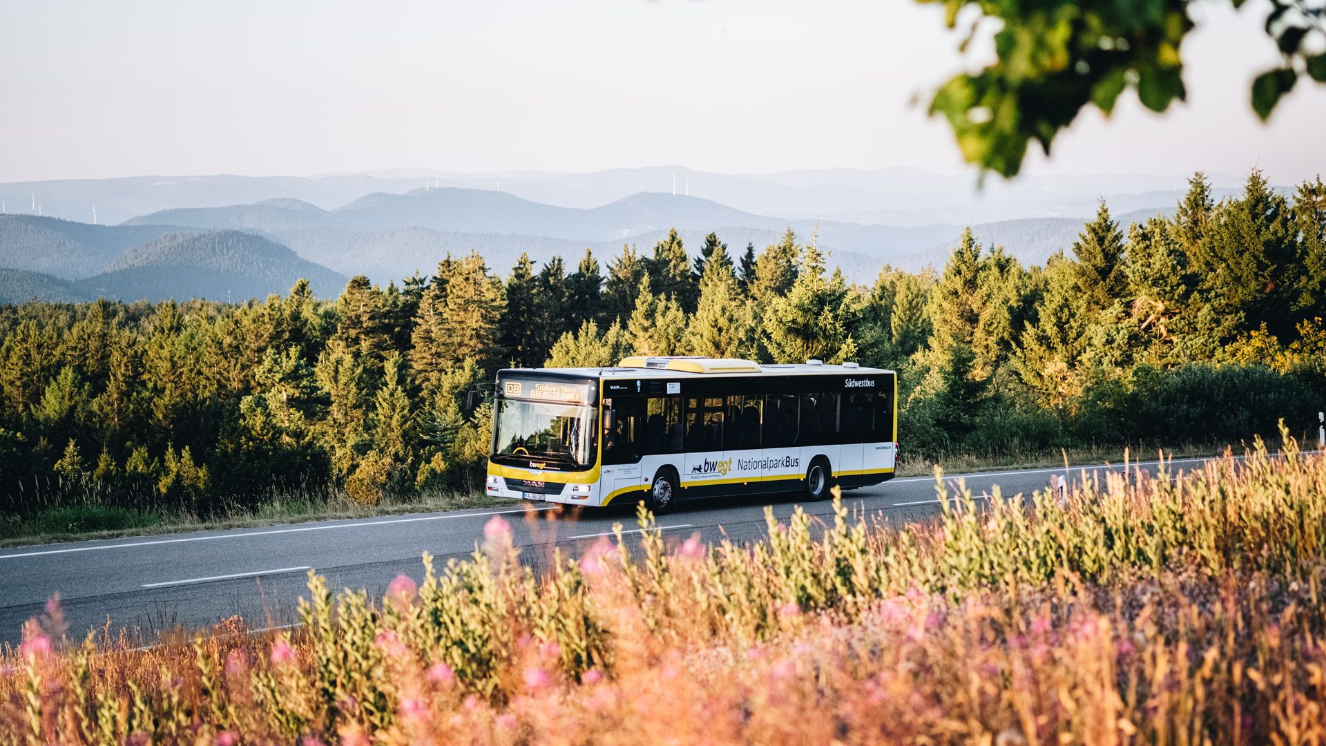
Pure nature: discover the Black Forest by bus and train
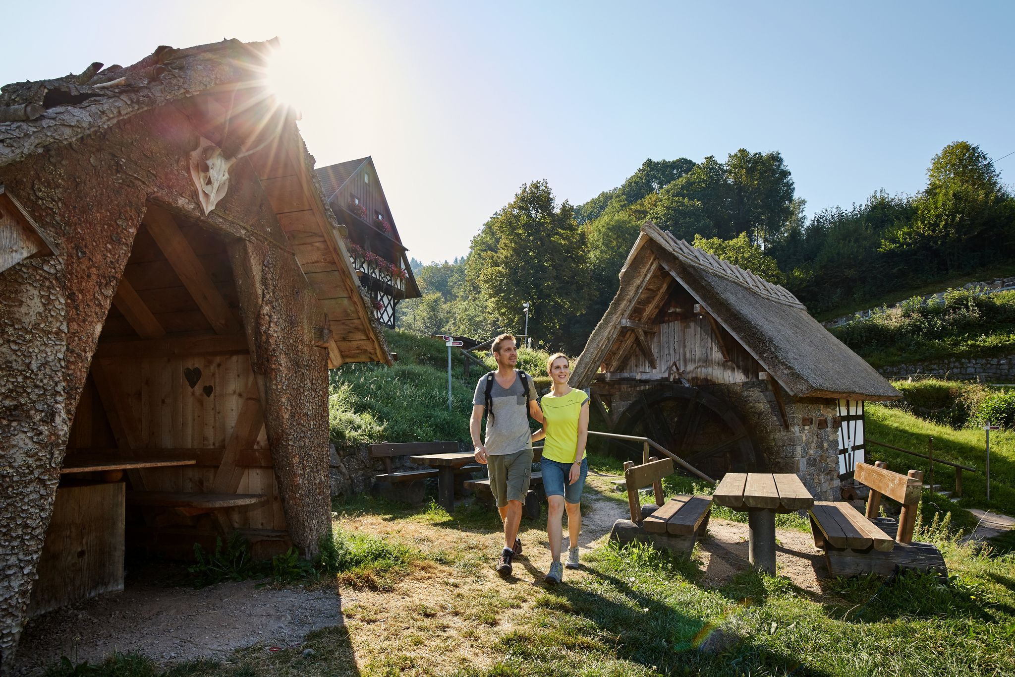
The best in the south: premium and quality hikes in Baden-Württemberg
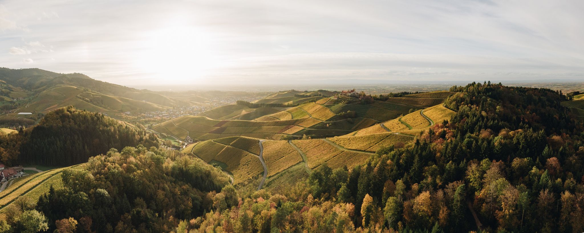
On the trail of pleasure — selected foodie trails in the Black Forest
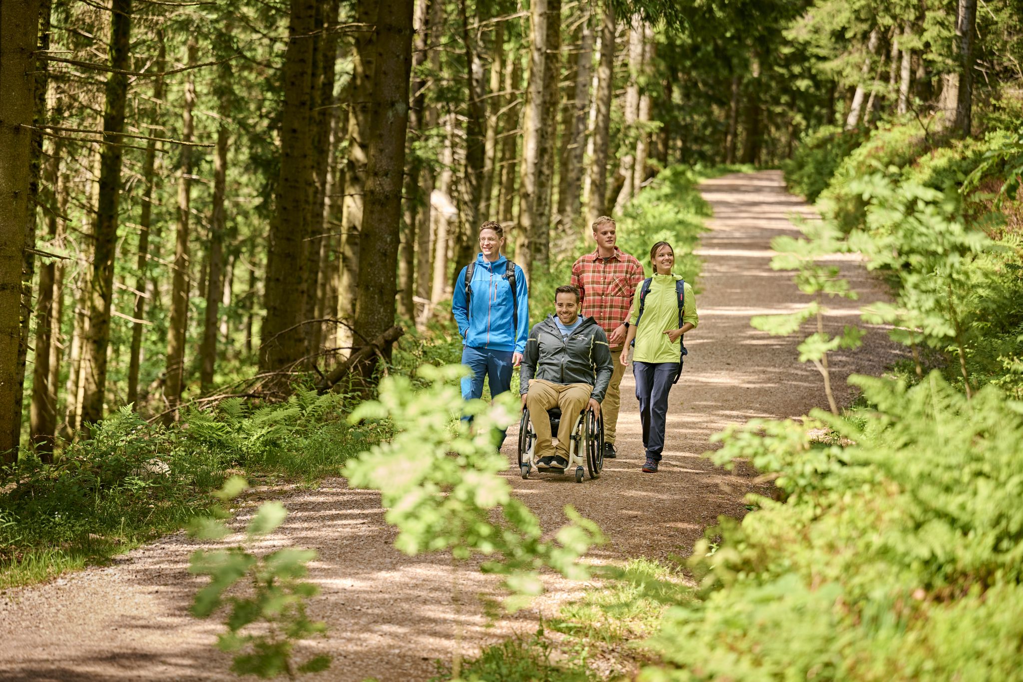
Accessible hiking routes in Baden-Württemberg
Other adventures around Seebach


Tips from the Community

Coming from the west, the first point with a great view and also easily accessible from the west - the difficult sections come further east.
0
0
Schnappsbrunnen with a smaller selection, but certainly lovingly made. Cooling is not done electrically but with cold (spring?) water flowing between the drink crates.
0
0

a must if you like drinking schnapps
0
0
very nice wide view
1
0

a beautiful place to recharge
0
0

Really beautiful viewpoint, worth the hike
2
0

You have a wonderful view.
1
0
Frequently Asked Questions
What is the general difficulty level of mountaineering routes around Seebach?
The mountaineering routes around Seebach offer a diverse range of challenges. While there is one easy route, the majority are classified as moderate (7 routes) or difficult (16 routes), catering to experienced mountaineers looking for challenging ascents and varied terrain in the northern Black Forest.
Are there any family-friendly mountaineering options in Seebach?
While many routes are challenging, there is one easy mountaineering route available around Seebach. For families, we recommend looking for shorter, less strenuous paths or exploring the area's many hiking trails which might be more suitable for all ages. The region is known for its dense forests and scenic paths, so there are plenty of opportunities for outdoor enjoyment.
What kind of natural attractions can I expect to see along the mountaineering routes?
Mountaineering routes in Seebach often lead to stunning natural attractions. You can expect to encounter beautiful waterfalls like the Gaishöll Waterfalls and the Deglerbad Waterfall on the Gottschlägbach. Many routes also pass by picturesque mountain lakes such as Mummelsee, Wild lake, and Lake Huzenbach. Notable rock formations like the Karlsruhe Ridge (Karlsruher Grat) are also prominent features.
Are there any circular mountaineering routes available?
Yes, many of the mountaineering routes around Seebach are circular, offering convenient starting and ending points. For instance, the challenging Edelfrauengrab Waterfalls – Edelfrauengrab Waterfalls loop from Gottschlägtal - Karlsruher Grat is a popular circular option. Another great choice is the moderate Bismarck Tower on Hornisgrinde – Mummelsee loop from Hornisgrinde-Biberkessel.
What do other mountaineers say about the routes in Seebach?
The mountaineering routes in Seebach are highly regarded by the komoot community, boasting an impressive average rating of 4.8 stars from over 60 reviews. Users frequently praise the region's dense woodlands, the scenic beauty of the waterfalls and mountain lakes, and the challenging yet rewarding ascents.
Can you recommend a challenging, longer mountaineering route?
For those seeking a longer and more challenging experience, consider the Edelfrauengrab Waterfalls – Herrenschrofen Rock Formation loop from Hornisgrinde-Biberkessel. This difficult route spans over 20 kilometers and involves significant elevation gain, typically taking around 7.5 hours to complete.
Are there any routes that offer views from the Hornisgrinde plateau?
Yes, the Bismarck Tower on Hornisgrinde – Mummelsee loop from Hornisgrinde-Biberkessel is a moderate route that provides excellent views from the Hornisgrinde plateau. It also passes by the scenic Mummelsee.
What is the best time of year for mountaineering in Seebach?
The northern Black Forest, including Seebach, is generally best for mountaineering from late spring through early autumn (May to October). During these months, the weather is typically more stable, and trails are clear of snow, allowing for safer and more enjoyable ascents. Always check local weather forecasts before heading out.
Are there any routes that specifically feature the Edelfrauengrab Waterfalls?
Absolutely. The Edelfrauengrab Waterfalls – Edelfrauengrab Waterfalls loop from Ottenhöfen is a popular difficult route that prominently features these waterfalls. It's a longer option, covering over 13 kilometers through forested slopes.
How many mountaineering routes are available in the Seebach area?
There are approximately two dozen mountaineering routes available around Seebach. This includes a mix of easy, moderate, and difficult trails, ensuring options for various skill levels and preferences.
Is there a route that combines the Mummelsee and Hornisgrinde Tower?
Yes, the Mummelsee – Hornisgrinde Tower loop from Seebach is a challenging route that connects these two iconic landmarks. It's a longer, difficult tour, offering extensive views and a comprehensive experience of the area's highlights.
Most popular routes around Seebach
Most popular attractions around Seebach

Get inspired with the komoot mobile app


Explore more
Browse the best Mountain Hikes & Routes in other regions.
