The best mountain hikes around Satteins
5.0
(55)
568
hikers
34
hikes
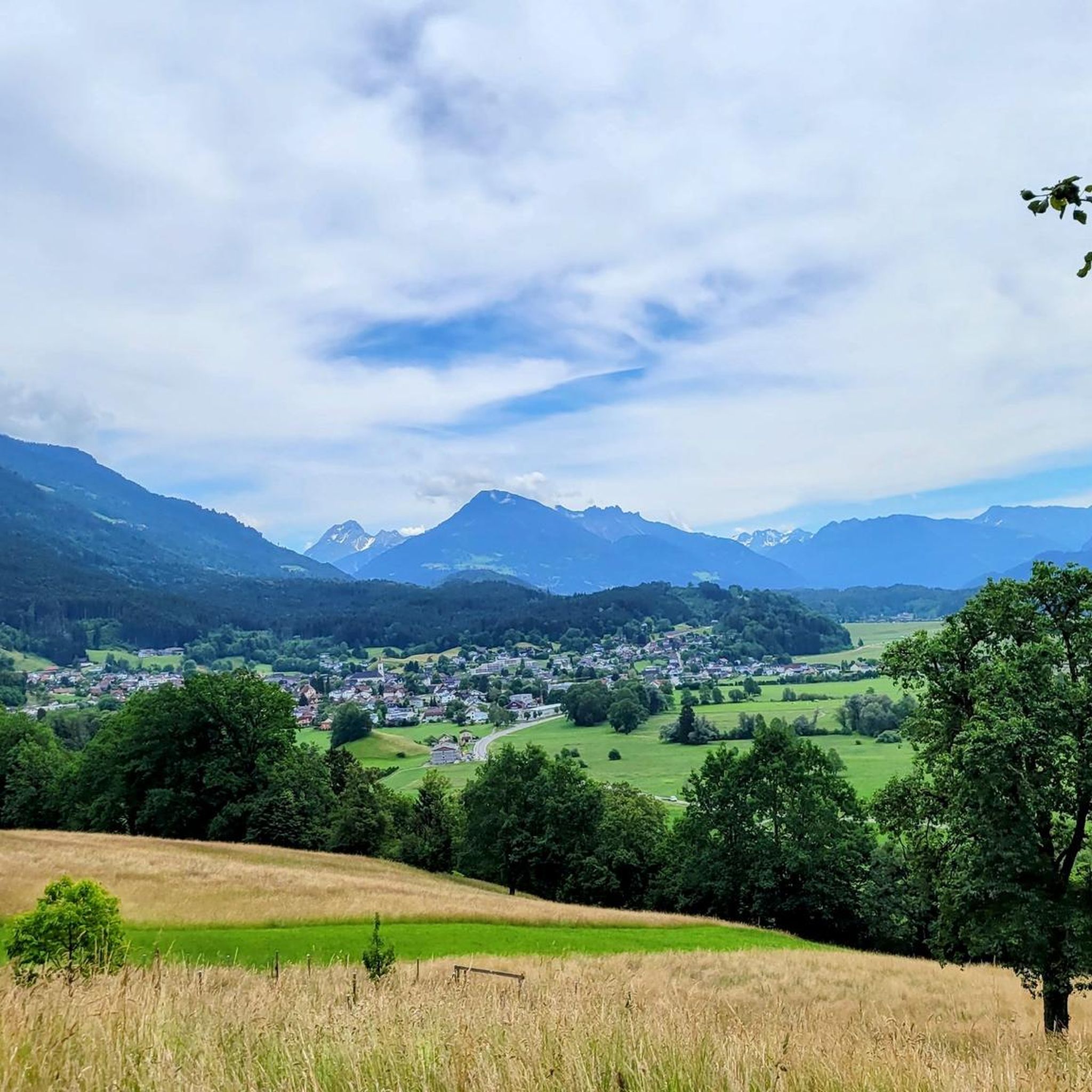
Mountaineering routes around Satteins are situated at the foot of the Rätikon mountain range in the Austrian state of Vorarlberg. This region is characterized by a mountainous landscape with steep rock faces and varied mountain trails. The Walgau region, accessible from Satteins, offers further opportunities for exploration with significant climbs and scenic views. The area provides diverse mountaineering options, ranging from moderate to difficult.
Best mountaineering routes around Satteins
- The most popular mountaineering route is Ladder to the Drei Schwestern…
Last updated: August 17, 2026
5.0
(5)
51
hikers
17.2km
07:42
1,280m
1,280m
Hard mountaineering route. Very good fitness required. Sure-footedness, sturdy shoes and alpine experience required.
5.0
(2)
49
hikers
10.2km
04:56
820m
820m
Moderate mountaineering route. Good fitness required. Mostly accessible paths. Sure-footedness required.

Sign up for free
5.0
(3)
27
hikers
8.87km
04:31
810m
810m
Moderate mountaineering route. Good fitness required. Mostly accessible paths. Sure-footedness required.
5.0
(4)
22
hikers
10.7km
04:43
740m
740m
Hard mountaineering route. Good fitness required. Sure-footedness, sturdy shoes and alpine experience required.
13
hikers
11.8km
04:30
720m
720m
Moderate mountaineering route. Good fitness required. Mostly accessible paths. Sure-footedness required.
Get access to more routes and recommendations from other explorers.
Sign up for free
Already have an account?
Our route recommendations are based on thousands of hikes, rides, and runs completed by other people on komoot.
Start today with a free account
Your next adventure awaits.
Login or Signup
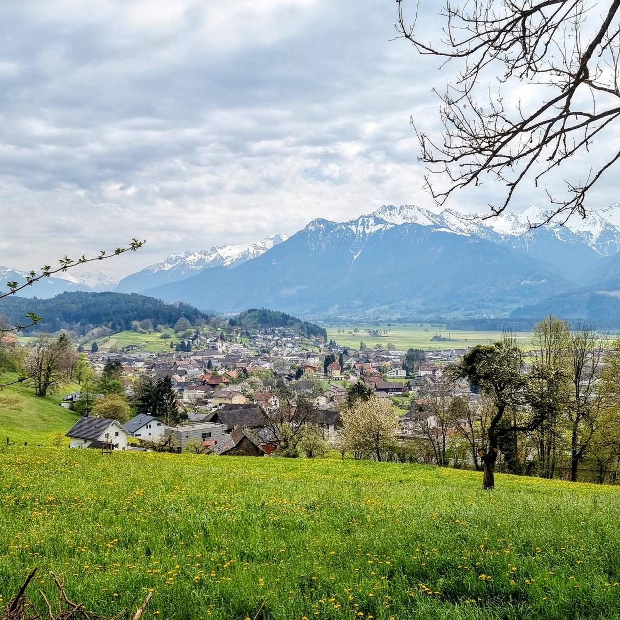
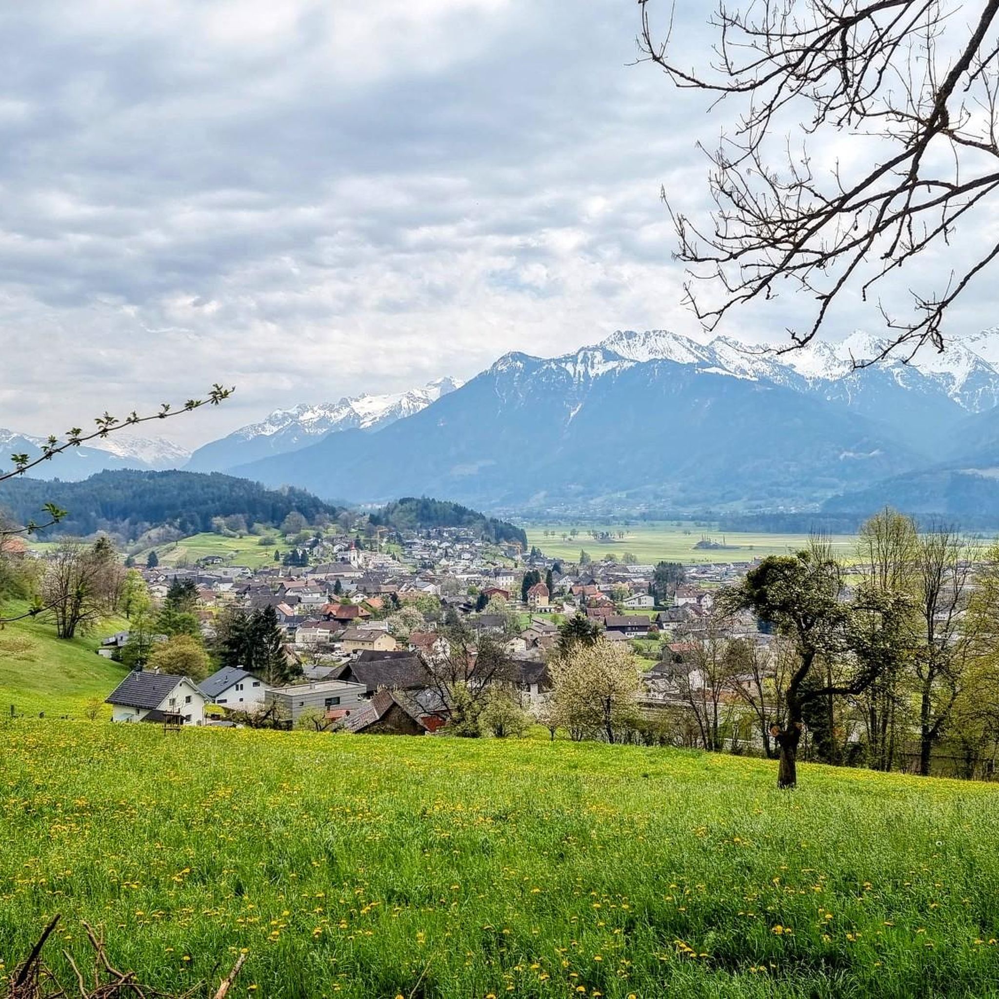

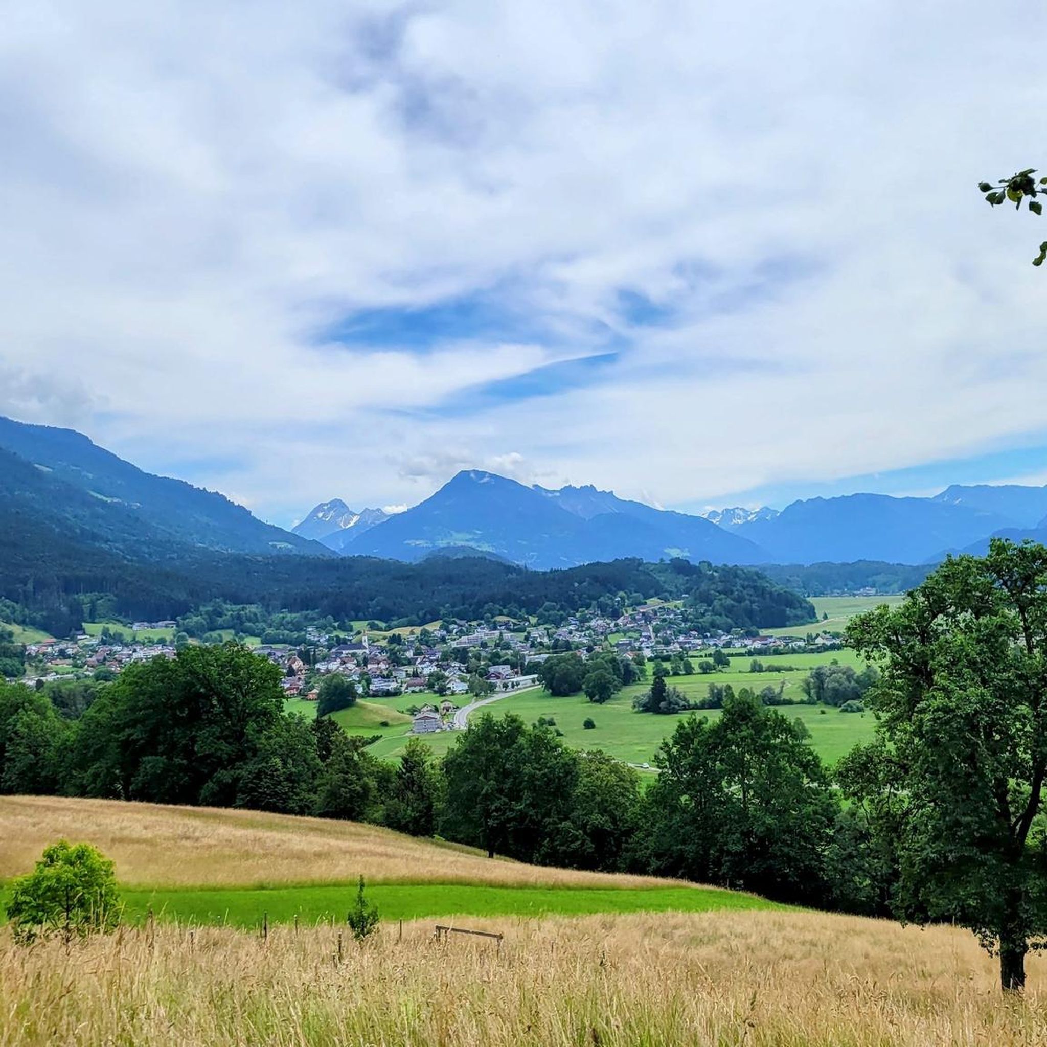
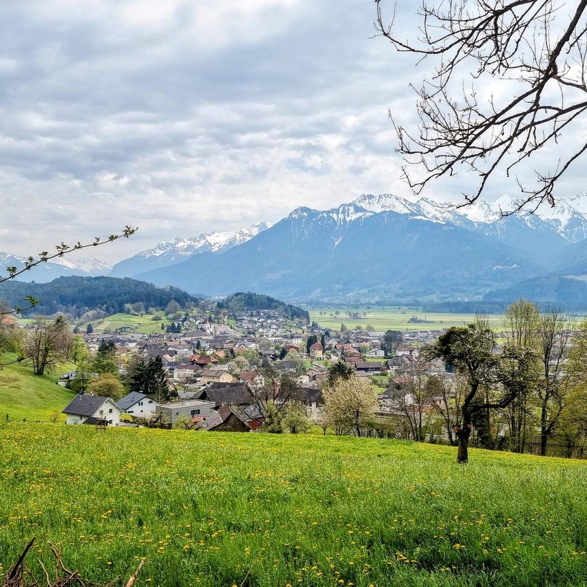
Tips from the Community

Actually a nice place with a great view, but unfortunately a very unfriendly family runs the alpine pasture.
0
0

very pretty here, very pretty
3
0
trust, trust, trust, trust...
3
0
pretty here, very pretty
3
1
pretty here, very pretty
3
0
pretty here, very pretty
3
0

probably the more beautiful view into the high mountains than vice versa from the high mountains onto this "low mountain range"?
0
0
Frequently Asked Questions
What kind of mountaineering routes can I expect around Satteins?
Satteins, nestled at the foot of the Rätikon mountain range, offers a diverse array of mountaineering routes. You'll find trails ranging from moderate to difficult, characterized by mountainous landscapes and steep rock faces. The Walgau region also provides further opportunities for exploration with significant climbs and scenic views.
How many mountaineering routes are available in the Satteins area?
There are over 35 mountaineering routes available around Satteins. These include 14 moderate routes and 23 difficult routes, catering to various skill levels and fitness requirements.
Are there any moderate mountaineering routes suitable for those with good fitness but less alpine experience?
Yes, Satteins offers several moderate mountaineering routes. One popular option is the Zäwas-Heil Peak – Gurtis Peak loop from Gurtis, which is about 8.8 km long and takes around 4 hours 40 minutes to complete. Another moderate route is the Tisner Skihütte – View of Lake Constance loop from Frastanz, spanning 11.7 km.
What are some of the more challenging mountaineering routes near Satteins?
For experienced mountaineers seeking a challenge, the Ladder to the Drei Schwestern – Three Sisters loop from Frastanz is a demanding route, covering 17.9 km with over 1280 meters of ascent. Another difficult option is the Gurtis Peak – Sattelalpe Mountain Hut loop from Gurtis, which is 10.2 km long and requires very good fitness and sure-footedness.
What do other mountaineers say about the routes in Satteins?
The mountaineering routes in Satteins are highly regarded by the komoot community, boasting an average rating of 4.9 out of 5 stars from nearly 60 reviews. Mountaineers often praise the varied terrain, stunning views, and the challenging yet rewarding nature of the trails.
Are there any circular mountaineering routes around Satteins?
Yes, many of the mountaineering routes around Satteins are designed as loops. For example, the challenging Hochgerach Summit – Hochgerach (1,985 m) loop from Dünserberg offers a circular journey through alpine terrain. The moderate Zäwas-Heil Peak – Gurtis Peak loop from Gurtis is also a popular circular option.
What natural features or landmarks can I see along the mountaineering routes?
Beyond the stunning mountain vistas of the Rätikon, you can explore several natural features. Nearby gorges like the Mengschlucht Gorge and the Üble Schlucht offer dramatic scenery. You might also encounter beautiful waterfalls, such as the Waterfall in the Üble Schlucht or the Samina Waterfall.
Are there any historical sites or castles to visit near Satteins after a mountaineering trip?
Yes, if you're interested in local history, there are several castles and ruins in the vicinity. You could visit Schattenburg Castle, the Tosters Castle Ruins, or the Welsch-Ramschwag Castle Ruins. Satteins itself is home to Schloss Gayenhofen, a 16th-century building with a museum.
What is the typical elevation gain on mountaineering routes around Satteins?
The elevation gain on mountaineering routes around Satteins varies significantly depending on the route's difficulty and length. For moderate routes, you might expect ascents of around 700-800 meters, such as the Zäwas-Heil Peak – Gurtis Peak loop with 811 meters of ascent. More difficult routes, like the Ladder to the Drei Schwestern – Three Sisters loop, can involve over 1280 meters of climbing.
Is Satteins a good base for sport climbing as well as mountaineering?
Absolutely. In addition to mountaineering, Satteins is known for its sport climbing areas. 'Kleiner Schacher' is a well-known spot offering numerous well-secured routes of varying difficulty on solid rock, suitable for climbers of all skill levels, including beginners and children.
What kind of fitness level is generally required for mountaineering in Satteins?
The required fitness level depends on the chosen route. Moderate routes, such as the Tisner Skihütte – View of Lake Constance loop, generally require good fitness and sure-footedness. For difficult routes like the Hochgerach Summit loop, very good fitness, sure-footedness, sturdy shoes, and alpine experience are essential.
Most popular routes around Satteins
Most popular attractions around Satteins

Get inspired with the komoot mobile app


Explore more
Browse the best Mountain Hikes & Routes in other regions.
