The best running trails around Hohenweiler
4.5
(1134)
27,856
runners
759
runs
Jogging routes around Hohenweiler traverse a diverse landscape characterized by gentle hills, charming villages, and picturesque river valleys. The region offers a mix of accessible paths, forest tracks, and meadow trails, providing varied terrain for runners. Key natural features include the scenic Leiblach Valley with its river paths and the broader Naturpark Nagelfluhkette, offering well-signposted trails and impressive landscapes. This variety ensures options for different fitness levels, from leisurely runs to more demanding routes.
Best jogging routes around Hohenweiler
- The…
Last updated: August 20, 2026
4.0
(2)
20
runners
6.96km
00:45
90m
90m
Moderate run. Good fitness required. Mostly paved surfaces. Suitable for all skill levels.
14
runners
5.02km
00:32
60m
60m
Moderate run. Good fitness required. Mostly paved surfaces. Suitable for all skill levels.

Sign up for free
13
runners
10.5km
01:06
100m
100m
Moderate run. Good fitness required. Mostly paved surfaces. Suitable for all skill levels.
13
runners
9.38km
01:20
420m
420m
Hard run. Very good fitness required. Sure-footedness, sturdy shoes and alpine experience required.
9
runners
8.12km
00:53
150m
150m
Moderate run. Good fitness required. Mostly paved surfaces. Suitable for all skill levels.
Get access to more routes and recommendations from other explorers.
Sign up for free
Already have an account?
Our route recommendations are based on thousands of hikes, rides, and runs completed by other people on komoot.
Start today with a free account
Your next adventure awaits.
Login or Signup
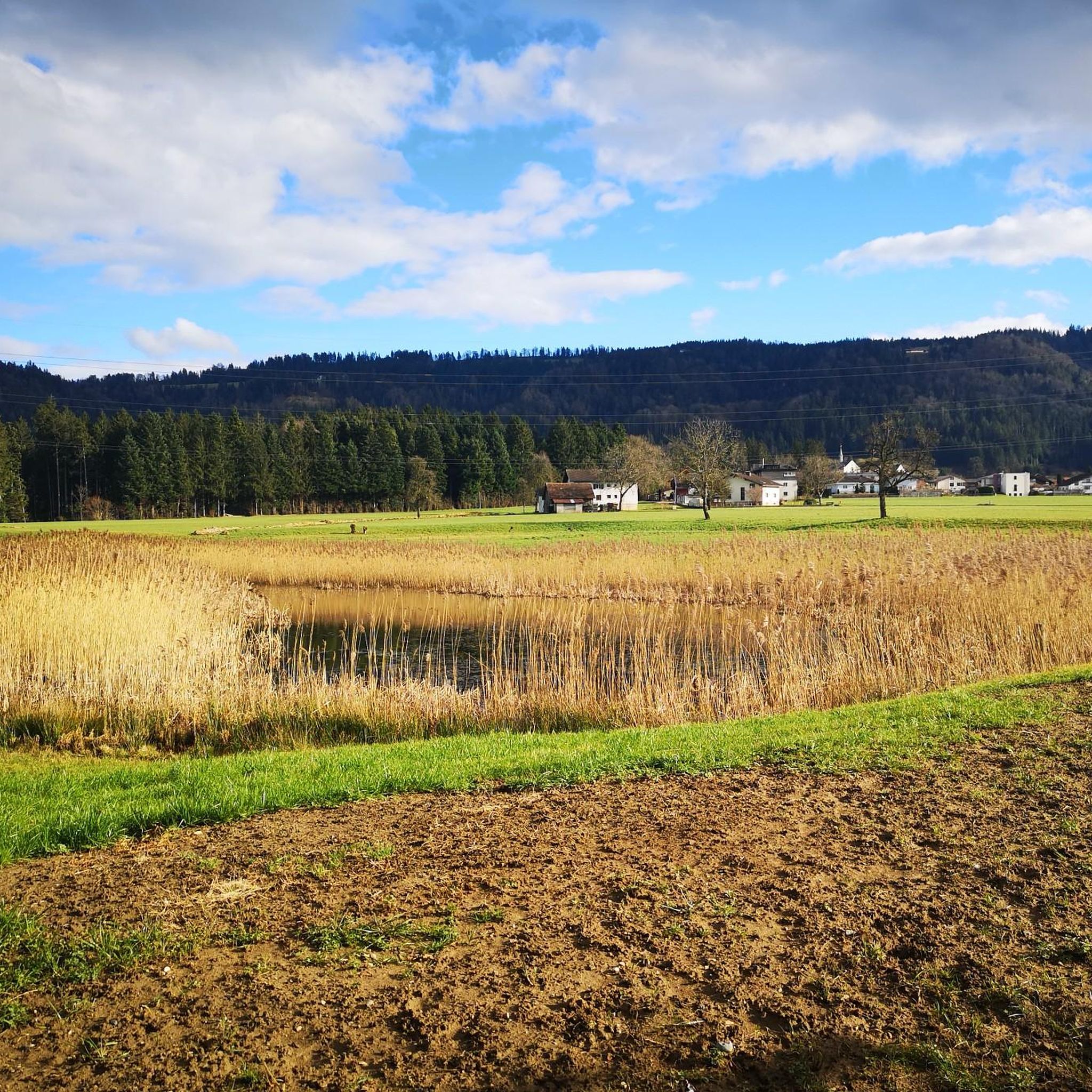

Other adventures around Hohenweiler

Tips from the Community

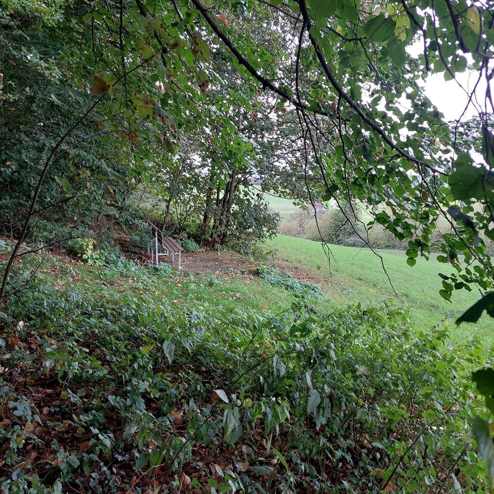
I miss my break tree😢
0
0

The tree has been removed, and the bench and trash cans have been rebuilt. Thanks to the sponsors and builders.
1
0
The wind blew the tree down, and the bench is destroyed. That's a real shame.
1
0


Wonderful
3
0
Welcome to Austria
2
0

The Diezlinger Bridge over the Leiblach is the "formal" border between Germany and Austria, usable for cyclists and pedestrians.
5
0
Frequently Asked Questions
How many running routes are available in Hohenweiler?
There are over 700 running routes around Hohenweiler, offering a wide variety of options for all fitness levels. These include nearly 100 easy routes, over 500 moderate routes, and more than 100 challenging trails.
Are there easy running trails suitable for beginners in Hohenweiler?
Yes, Hohenweiler offers nearly 100 easy running routes, perfect for beginners or those seeking a leisurely run. These often feature flat paths through meadows and along river valleys, providing a gentle introduction to the region's beautiful landscapes.
What kind of terrain can I expect on jogging routes in Hohenweiler?
The jogging routes in Hohenweiler traverse a diverse landscape of gentle hills, charming villages, and picturesque river valleys. You can expect a mix of accessible paths, forest tracks, and meadow trails. The region's varied terrain ensures options for different preferences, from flat, leisurely runs to more demanding routes with moderate climbs, especially towards areas like the Pfänder Mountain.
Are there any circular running routes in Hohenweiler?
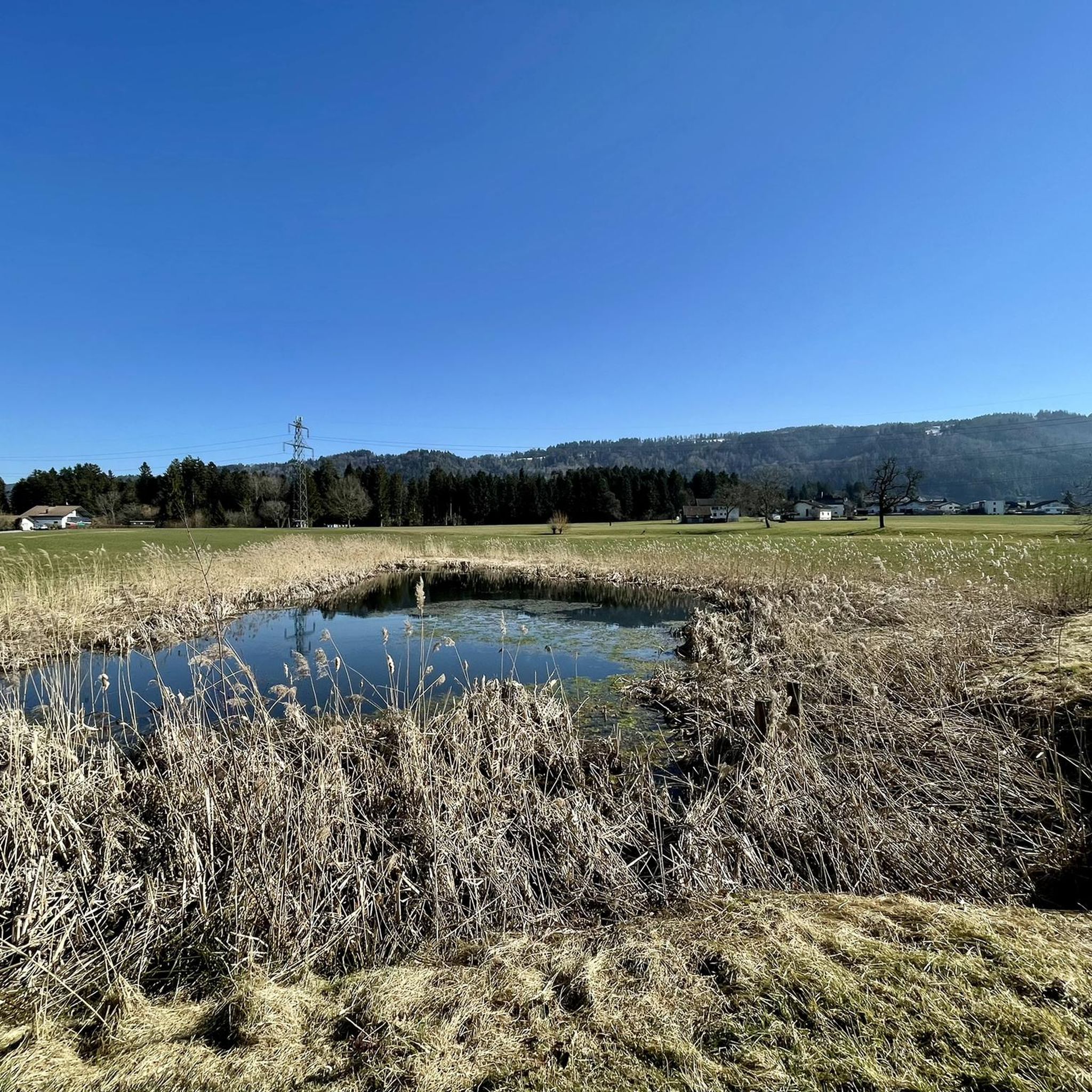
Yes, many of the running routes in Hohenweiler are circular, allowing you to start and end at the same point. For example, the Pond Koo loop from Hohenweiler is a popular circular trail, as is the Leiblach – Leiblach torrent loop from Hohenweiler, which offers scenic views along the river.
What scenic attractions can I see along the running routes in Hohenweiler?
Hohenweiler's running routes offer access to several scenic attractions. You can enjoy views of Lake Constance from various points, or explore the natural beauty of the Leiblach Valley with its ravine streams and gorge forests. Highlights include the View of Lindau, the Bregenz lakeside promenade, and the impressive Pfänder Summit, which offers expansive panoramas.
Are there running trails suitable for families with children in Hohenweiler?
Yes, Hohenweiler offers several family-friendly running options. Many of the easy, circular routes along the Leiblach Valley are described as suitable for the whole family, featuring accessible paths through meadows and forests. These routes often have gentle elevation changes, making them enjoyable for all ages.
What do other runners enjoy the most about jogging in Hohenweiler?
The running trails in Hohenweiler are highly rated by the komoot community, with an average score of 4.4 stars from over 800 reviews. Runners often praise the diverse landscapes, the well-maintained paths, and the variety of terrain that caters to different fitness levels. The scenic views of river valleys and gentle hills are frequently highlighted as a major draw.
Are there any running routes that feature waterfalls in the Hohenweiler region?
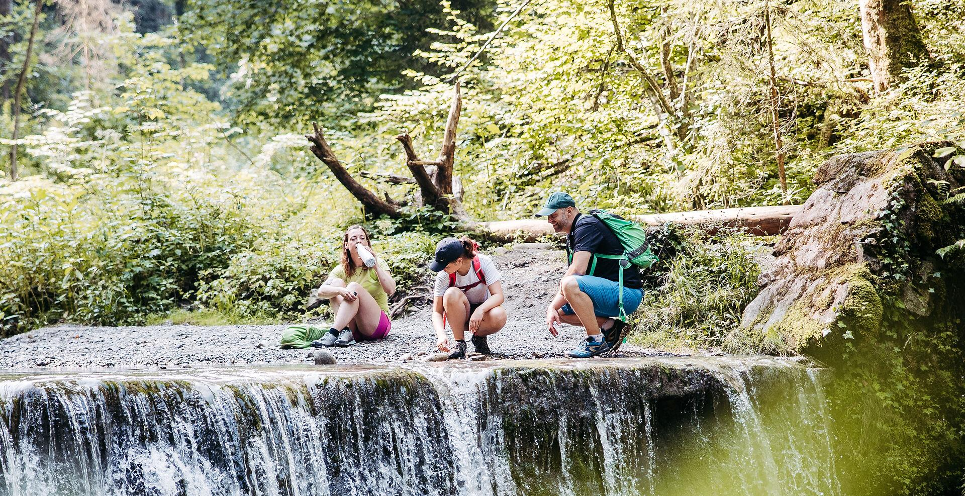
Yes, the Leiblach Valley, a central natural feature near Hohenweiler, is known for its enchanting ravine streams and shady gorge forests, which include sections with rushing waterfalls. These provide a varied and scenic backdrop for a run, particularly along the 'Brückenschlag' routes.
Can I find running routes with good viewpoints in Hohenweiler?
Absolutely. The region around Hohenweiler, including trails leading towards the Pfänder Mountain and the Naturpark Nagelfluhkette, offers numerous routes with spectacular views. The View of Allgäu – End of Climb loop from Hergensweiler is a great example, providing vistas towards the Allgäu region. Additionally, the View of Lindau and the Pfänder Summit are popular viewpoints accessible from the area.
Are there options for more challenging trail running in Hohenweiler?
Yes, for those seeking a more demanding experience, Hohenweiler offers over 100 difficult running routes. Trails leading up to or around the Pfänder Mountain, for instance, provide excellent opportunities for high-altitude trail running with significant elevation changes. The Mariastern Abbey loop from Hörbranz is a challenging route with over 400 meters of elevation gain.
What is the best time of year for jogging in Hohenweiler?
Hohenweiler is suitable for jogging throughout much of the year due to its diverse terrain. Spring and autumn offer pleasant temperatures and vibrant scenery, while summer provides longer daylight hours. Even in winter, many trails remain accessible, especially the lower-lying paths in the Leiblach Valley, though some higher or more exposed routes might require more caution.
Most popular routes around Hohenweiler
Most popular attractions around Hohenweiler

Get inspired with the komoot mobile app


Explore more
Browse the best Running Trails & Routes in other regions.
