The best mountain hikes around Aurach am Hongar
4.7
(124)
1,862
hikers
17
hikes
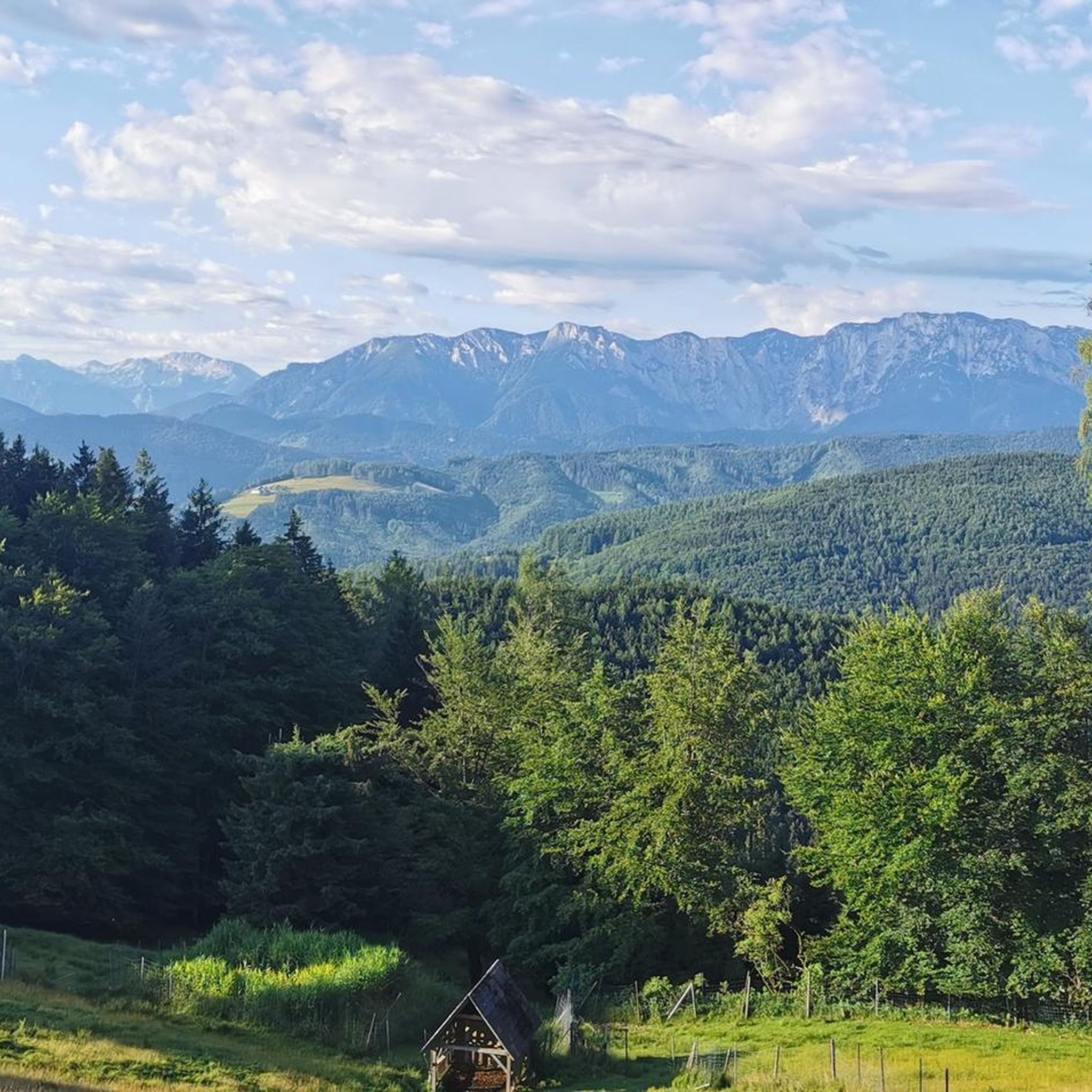
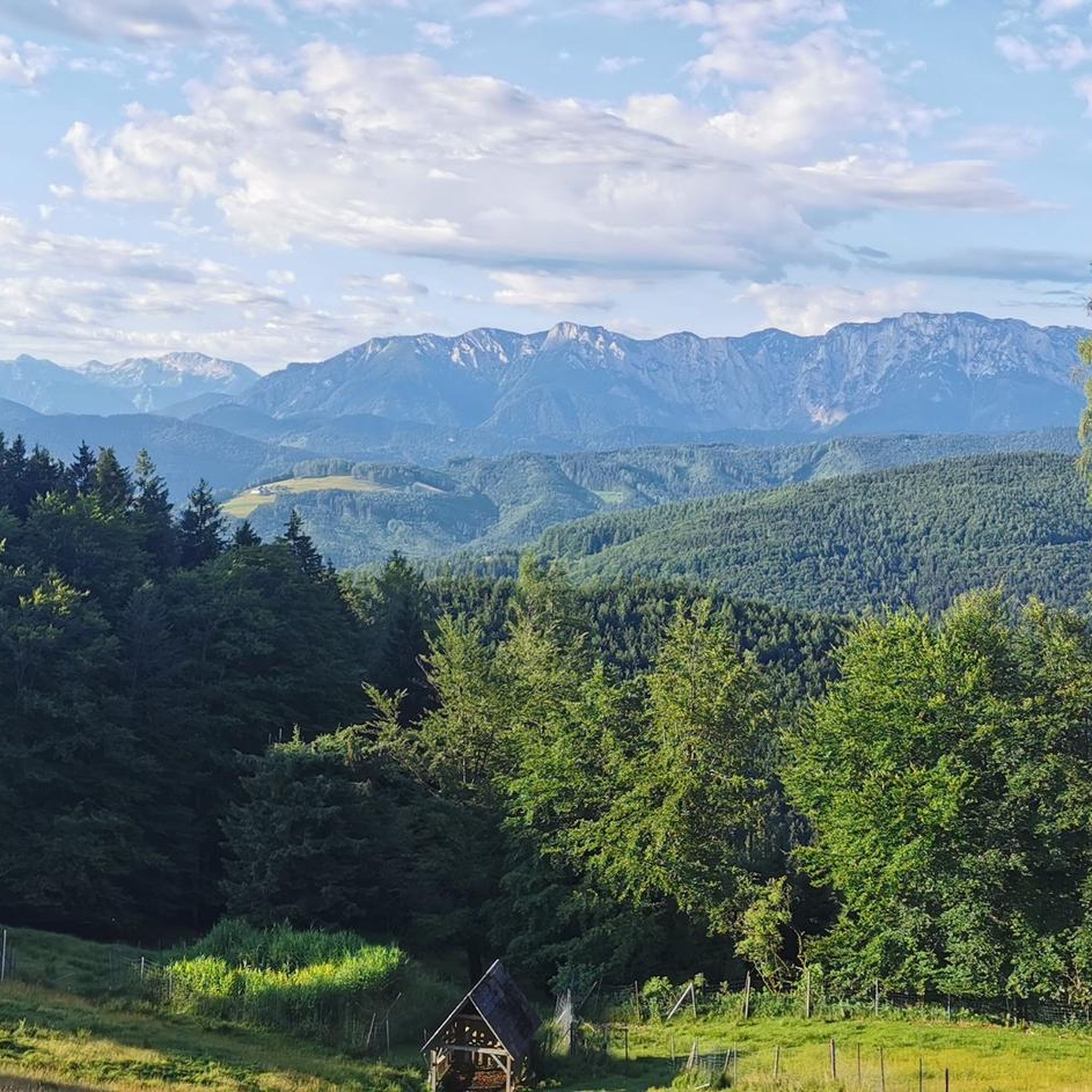
Mountaineering routes around Aurach am Hongar traverse varied terrain, characterized by forested slopes, open alpine meadows, and views of surrounding peaks. The region offers a mix of ascents and descents, often leading to panoramic viewpoints. These routes provide opportunities to explore the natural landscape of the Salzkammergut foothills. The area is known for its well-maintained trails suitable for mountaineering.
Best mountaineering routes around Aurach am Hongar
- The most popular mountaineering route is Hinterer Langbathsee – Brunnkogel Summit Cross loop from…
Last updated: October 18, 2026
4.8
(5)
60
hikers
14.2km
06:41
1,000m
1,010m
Hard mountaineering route. Very good fitness required. Sure-footedness, sturdy shoes and alpine experience required.
5.0
(5)
41
hikers
11.3km
03:46
520m
520m
Moderate mountaineering route. Good fitness required. Easily-accessible paths. Suitable for all skill levels.

4.4
(5)
43
hikers
15.2km
05:22
680m
680m
Hard mountaineering route. Very good fitness required. Mostly accessible paths. Sure-footedness required.
38
hikers
6.48km
03:14
530m
530m
Moderate mountaineering route. Good fitness required. Mostly accessible paths. Sure-footedness required.
5.0
(2)
22
hikers
11.0km
03:28
390m
390m
Moderate mountaineering route. Good fitness required. Easily-accessible paths. Suitable for all skill levels.
Get access to more routes and recommendations from other explorers.
Already have an account?
Our route recommendations are based on thousands of hikes, rides, and runs completed by other people on komoot.
Start today with a free account
Your next adventure awaits.
Tips from the Community

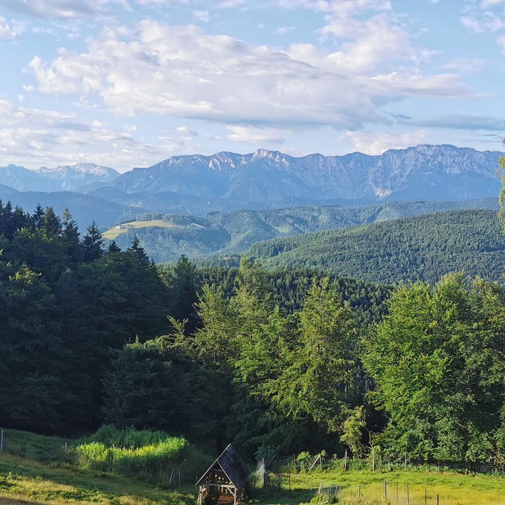
The forest road towards Laudachsee is very stony and not easy to ride. Good thing we didn't have to go downhill on this road!
0
0

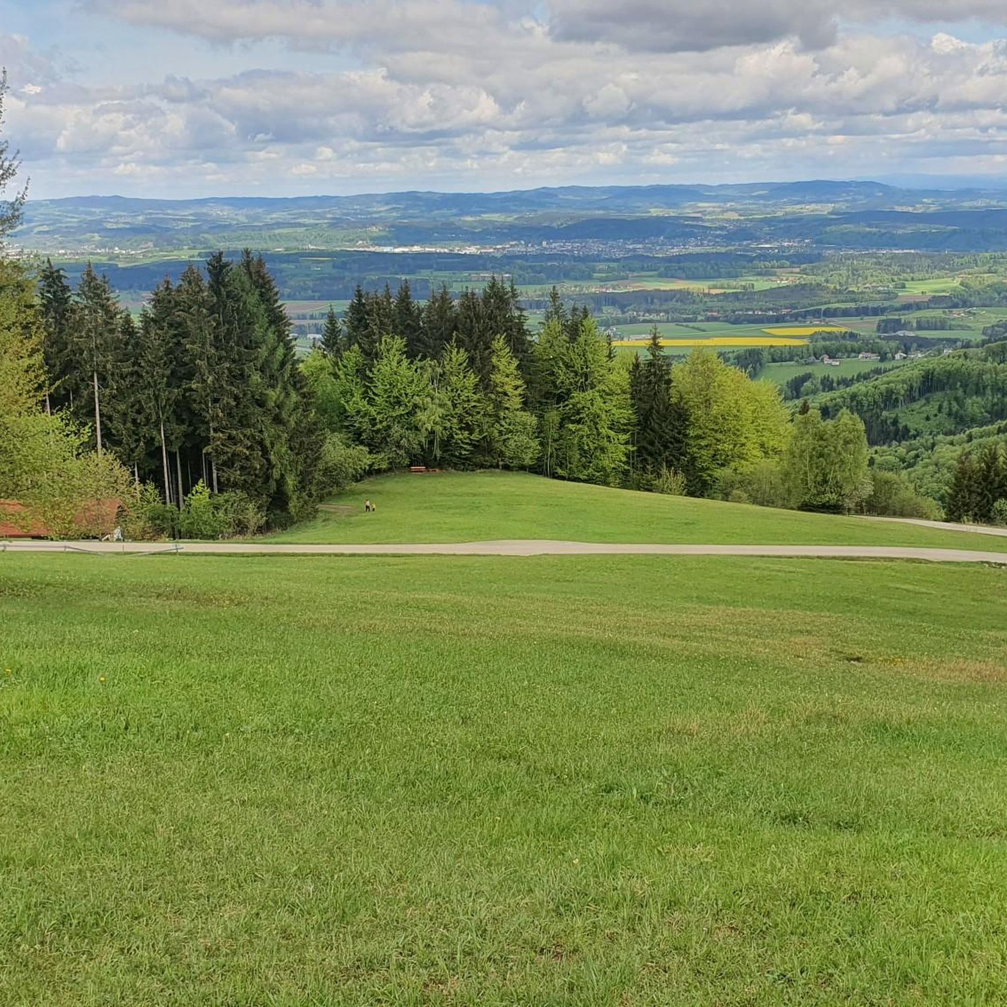
Surprisingly many people, but very few walk the loop.
0
0

beautiful view from the lake into the Höllengebirge
0
0
wonderful view from the lake to the Höllengebirge
0
0
wonderful view of the rear Langbathsee
0
0


View towards the Traunstein and the light trail
0
0

It is definitely worth a trip followed by a refreshing drink
1
1
Frequently Asked Questions
How many mountaineering routes are available around Aurach am Hongar?
There are nearly 20 dedicated mountaineering routes around Aurach am Hongar, offering a diverse range of experiences for different skill levels. These routes traverse the beautiful Salzkammergut foothills, providing opportunities to explore forested slopes, alpine meadows, and panoramic viewpoints.
What is the overall difficulty level of mountaineering routes in this area?
The routes around Aurach am Hongar offer a good mix of challenges. You'll find 11 moderate routes, 6 difficult options for experienced mountaineers, and 2 easier paths suitable for those looking for a less strenuous experience. This variety ensures there's something for everyone.
Are there any suitable mountaineering routes for beginners or those looking for an easier experience?
Yes, there are a couple of easier mountaineering routes available. While the guide focuses on more challenging options, you can find routes that are less demanding, often featuring gentler ascents and shorter distances. These are perfect for getting a feel for the region's terrain.
Which mountaineering routes are recommended for experienced climbers seeking a challenge?
For experienced mountaineers, the region offers several challenging routes. One notable option is the Hinterer Langbathsee – Brunnkogel Summit Cross loop from Restaurant & Bar Langbathsee, which is a difficult 8.9-mile (14.3 km) trail with significant elevation gain, leading to expansive summit views. Another difficult route is the Ramsaualm at Laudachsee – View of Lake Traunsee loop from Schloss Weyer, covering 9.4 miles (15.2 km) through alpine pastures.
Are there any circular mountaineering routes in Aurach am Hongar?
Yes, many of the mountaineering routes around Aurach am Hongar are designed as circular loops, allowing you to start and end at the same point. For example, the Vorderer Signalkogel – Vorderer Langbathsee loop from Hinterer Langbathsee is a moderate 6.9-mile (11.2 km) circular path that offers views of the Langbathsee lakes. Another option is the Rear Langbathsee – Vorderer Langbathsee loop from Hinterer Langbathsee.
What kind of attractions or landmarks can I expect to see along these mountaineering routes?
The routes often lead past beautiful natural and historical landmarks. You might encounter stunning lakes like Taferlklaus Lake (Highlight) or enjoy views of Lake Traunsee. The area is also home to several historic castles, such as Ort Castle (Highlight) and Cumberland Castle (Highlight), which are worth exploring in the wider region.
Are there any huts or cafes along the mountaineering trails for refreshments?
Yes, you'll find several huts and guesthouses in the vicinity of the mountaineering trails where you can stop for refreshments. Notable options include Hochsteinalm (Highlight), Kreuzingalm (Highlight), and Gmundnerberghaus (Highlight). Gasthaus Schwarz (Highlight) is also a good option for a meal.
What is the best season for mountaineering around Aurach am Hongar?
The best season for mountaineering around Aurach am Hongar is typically from late spring to early autumn (May to October). During these months, the weather is generally more stable, trails are clear of snow, and the alpine meadows are in full bloom. Always check local weather forecasts before heading out, as conditions can change rapidly in the mountains.
Is public transport available to reach the trailheads?
While some trailheads might be accessible by local bus services, public transport options can be limited in the more remote areas around Aurach am Hongar. It's often advisable to check specific bus routes and schedules in advance, or consider traveling by car for greater flexibility to reach various starting points.
What do other mountaineers enjoy most about the routes in Aurach am Hongar?
The mountaineering routes in Aurach am Hongar are highly rated by the komoot community, with an average score of 4.8 stars from nearly 100 reviews. Reviewers often praise the well-maintained trails, the stunning panoramic views of the Salzkammergut region, and the rewarding experience of reaching summit crosses. The mix of forested paths and open sections is also frequently highlighted.
Are there any family-friendly mountaineering options in the area?
While many mountaineering routes involve significant elevation and distance, some of the easier or moderate trails might be suitable for families with older, experienced children. For younger families, it's best to look for shorter, less steep sections or consider the 2 easier routes available, focusing on the scenic beauty rather than challenging ascents. Always assess the route's difficulty and your family's fitness level carefully.
Where can I find parking for the mountaineering trails?
Parking is generally available at common trailheads and popular starting points for mountaineering routes. For example, routes like the Hinterer Langbathsee – Brunnkogel Summit Cross loop often start near facilities like Restaurant & Bar Langbathsee, where parking is usually provided. It's recommended to check the specific route details on komoot for information on designated parking areas.
Most popular routes around Aurach am Hongar
Most popular attractions around Aurach am Hongar

Get inspired with the komoot mobile app


Explore more
Browse the best Mountain Hikes & Routes in other regions.
