The best gravel rides around Aurach am Hongar
4.3
(60)
439
riders
24
rides
Gravel biking around Aurach am Hongar offers a diverse landscape characterized by rolling hills, river valleys, and elevated viewpoints overlooking the Salzkammergut region. The area features a mix of forested paths, open country trails, and routes along water bodies like Lake Attersee and the Ager River. Terrain varies from relatively flat sections suitable for leisurely rides to more challenging climbs on the slopes of the Hongar.
Best gravel bike trails around Aurach am Hongar
- The most popular gravel bike trail…
Last updated: October 19, 2026
4.0
(3)
41
riders
61.1km
04:36
390m
390m
Moderate gravel ride. Good fitness required. Some segments of this route may be unpaved and difficult to ride.
4.5
(6)
30
riders
53.4km
04:06
1,300m
1,300m
Hard gravel ride. Very good fitness required. Mostly paved surfaces. Suitable for all skill levels.

4.6
(10)
57
riders
35.0km
02:28
840m
840m
Hard gravel ride. Very good fitness required. Mostly paved surfaces. Suitable for all skill levels.
4.7
(10)
45
riders
44.3km
02:54
840m
840m
Hard gravel ride. Very good fitness required. Mostly paved surfaces. Suitable for all skill levels.
5.0
(1)
18
riders
19.0km
01:37
410m
410m
Moderate gravel ride. Good fitness required. Mostly paved surfaces. Suitable for all skill levels.
Get access to more routes and recommendations from other explorers.
Already have an account?
Our route recommendations are based on thousands of hikes, rides, and runs completed by other people on komoot.
Start today with a free account
Your next adventure awaits.
Tips from the Community

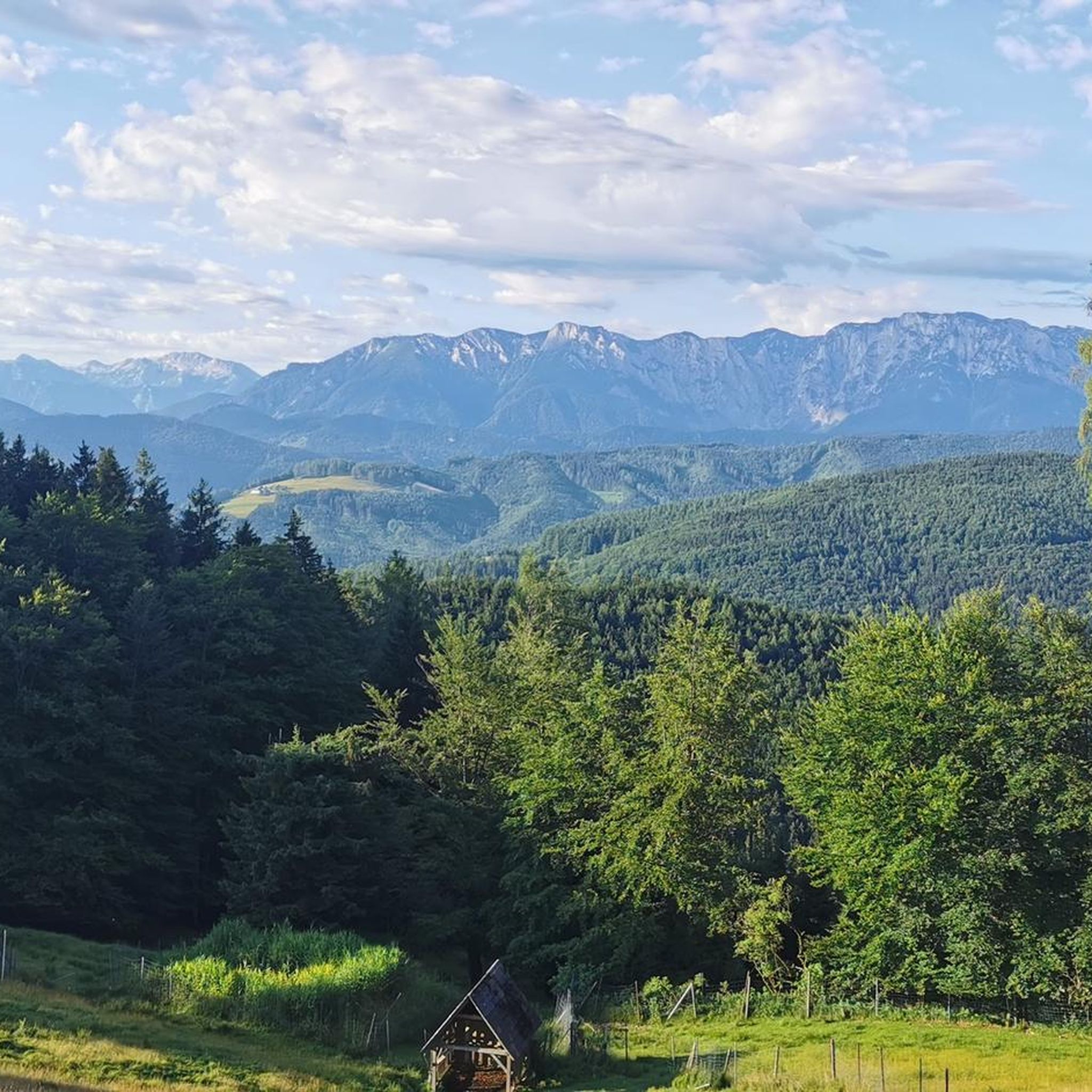
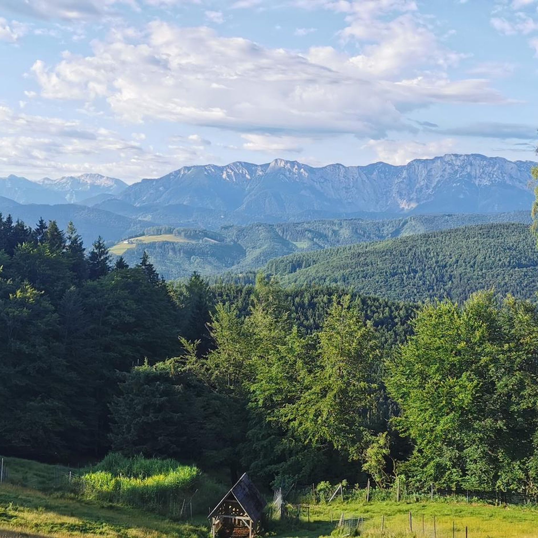
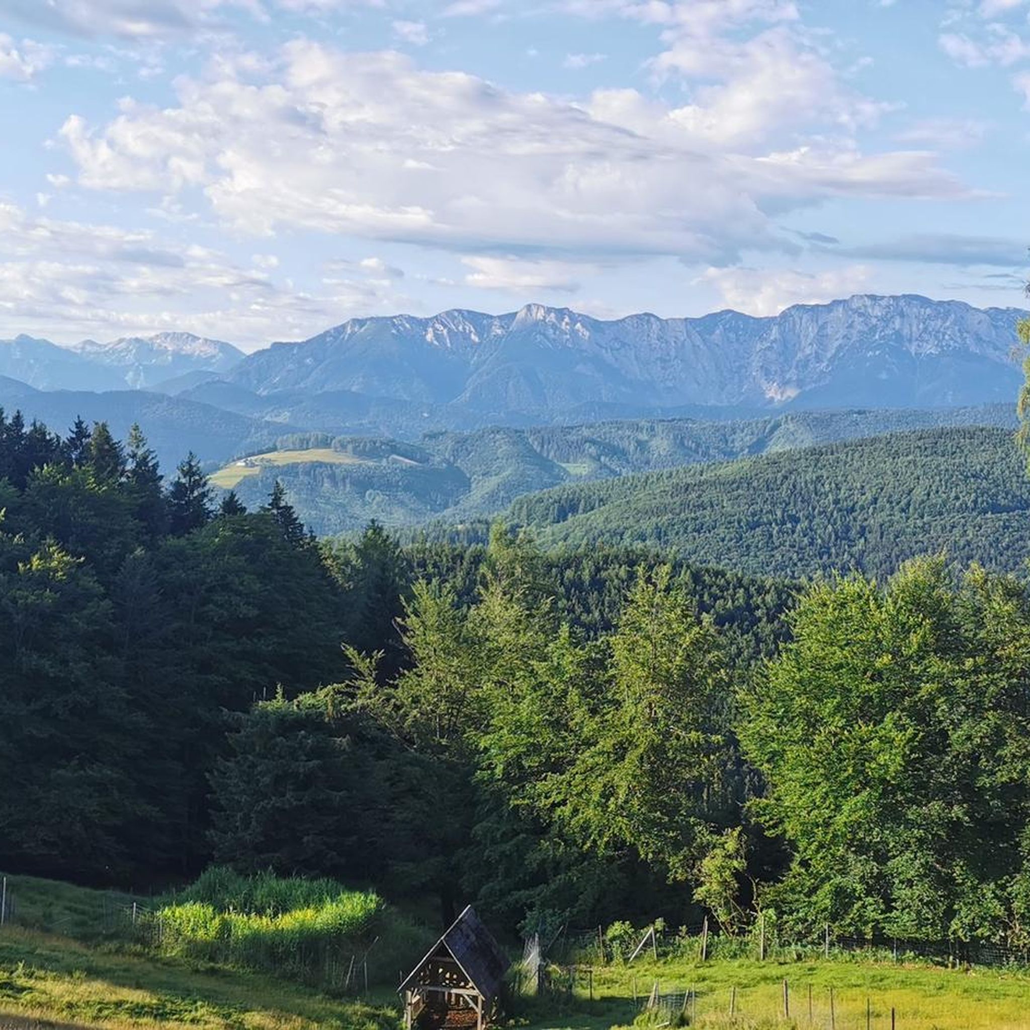
Very nice spot at an MTB trail junction with a rest area and information boards. Unfortunately, the MTB route from Aurach via Gstötten & Halbmoos up here is not marked on Komoot 🧐 - it is then visible on the map up here (green dots)
0
0
Very nice spot at an MTB trail crossing with a rest area and information boards. Unfortunately, the MTB route from Aurach via Gstötten & Halbmoos up here is not marked in Komoot 🧐 - then visible on the map up here (green dots)
0
0
As a starting point for cycling tours, the Flößersteig car park behind the municipal office is well suited (quiet side roads). However, entering the town centre by car via Gmundnerstraße is very narrow - possibly try the car park after the cemetery as an alternative.
0
0

Guided tours with sky observation are regularly held. Sign up for the newsletter at https://astronomie.at/, the lead time is usually 2-4 days (depending on the weather forecast). It's definitely worth it. Otherwise, the sky here at night is so clear and without light pollution that you can see the entire Milky Way with the naked eye.
0
0

Always nice to walk along the Esplanade.
0
0
Always beautiful on the Esplanade.
0
0

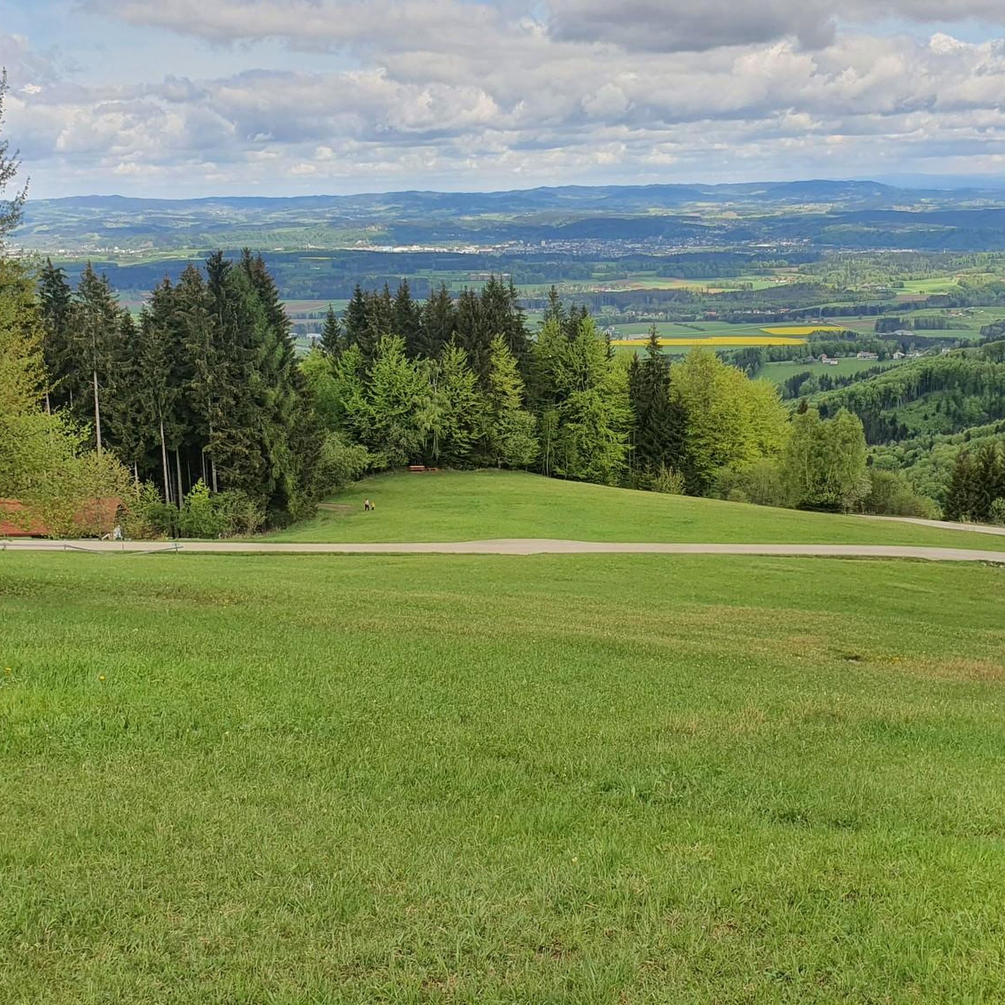
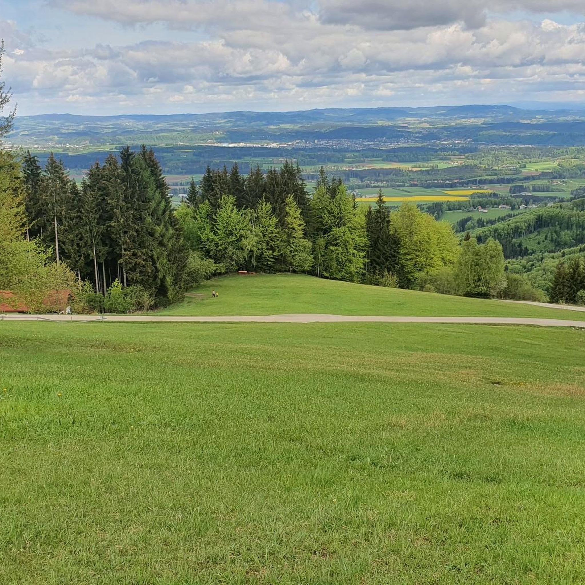
Below there are often fishermen. Very beautiful view.
0
0

We are always delighted again by this wonderful view and enjoy the resting place.
0
0
Frequently Asked Questions
What is the general difficulty level of gravel bike trails around Aurach am Hongar?
The gravel biking routes around Aurach am Hongar offer a range of difficulties. While there are 4 easy and 15 moderate routes, the majority, 39 out of 58, are classified as difficult. This means you'll find options for various skill levels, but many trails feature significant elevation changes and challenging terrain.
Are there beginner-friendly gravel bike routes in Aurach am Hongar?
Yes, there are several options suitable for beginners. You can find 4 easy routes and 15 moderate routes that are less demanding. For a moderate option that offers a pleasant ride through forested areas, consider the Schörfling am Attersee – Loitzenwies Pond loop from Schörfling am Attersee, which is 12.0 miles (19.3 km) long.
Which gravel bike routes offer the best scenic viewpoints?
Many routes in the region provide stunning views, especially those climbing the Hongar or overlooking Lake Attersee. For panoramic vistas, try the View of Lake Attersee – View of Attersee from Gahberg loop from Kammer-Schörfling, which offers significant elevation gain and expansive views of Lake Attersee. Another excellent choice is the View from the Hongar – Alpenblick Viewpoint loop from Siebenmühlen-Rosenau, which takes you to elevated viewpoints.
What is the typical length of gravel bike routes in the Aurach am Hongar area?
The routes vary significantly in length. You'll find shorter loops, like the 12.0 miles (19.3 km) Schörfling am Attersee – Loitzenwies Pond loop from Schörfling am Attersee, as well as much longer, more challenging rides such as the Römerweg along the Ager River – Ager Weir Redlham Au loop from Vöcklabruck, which spans 56.8 miles (91.4 km).
Are there any interesting landmarks or attractions to see along the gravel bike trails?
Yes, the region is rich in attractions. Along your rides, you might encounter historical sites and natural beauty. Notable highlights include various castles such as Ort Castle and Ort Lake Castle. For natural sights, consider visiting the Rear Langbathsee or the Lakeside Promenade at Attersee am Attersee. The Grünberg Summit and Treetop Walk also offers a unique experience.
When is the best time of year to go gravel biking in Aurach am Hongar?
The best time for gravel biking in Aurach am Hongar is typically from spring through autumn (April to October). During these months, the weather is generally mild, and the trails are in good condition. The landscape is particularly beautiful in spring with blooming nature and in autumn with vibrant foliage.
Can I go gravel biking in Aurach am Hongar during winter?
Gravel biking in winter can be challenging due to snow and ice, especially on higher elevations and forested paths. While some main roads might be clear, many gravel trails could be impassable or require specialized equipment. It's advisable to check local weather and trail conditions before planning a winter ride.
Are there loop gravel trails available?
Yes, many of the gravel bike routes in Aurach am Hongar are designed as loops, allowing you to start and end at the same point. Examples include the popular View of Lake Attersee – View of Attersee from Gahberg loop from Kammer-Schörfling and the View from the Hongar – Hongar Summit and Viewpoint loop from Regau.
What do other gravel bikers enjoy the most about gravel biking in Aurach am Hongar?
The area is highly rated by the komoot community, with an average score of 4.1 stars from over 40 reviews. Reviewers often praise the diverse landscape, which includes rolling hills, river valleys, and elevated viewpoints. The mix of forested paths, open country trails, and routes along water bodies like Lake Attersee and the Ager River are frequently highlighted as enjoyable aspects.
Are there cafes or refreshment stops along the gravel bike trails?
While specific cafes directly on every trail are not guaranteed, the routes often pass through or near towns and villages such as Schörfling am Attersee, Kammer-Schörfling, and Vöcklabruck. These locations typically offer opportunities for refreshments, including cafes, restaurants, and shops where you can refuel during your ride.
How many gravel bike trails are there in Aurach am Hongar?
There are over 50 gravel bike trails available around Aurach am Hongar, with a total of 58 routes recorded. This extensive network provides a wide variety of options for different preferences and skill levels.
Are there any advanced gravel routes for experienced riders?
Absolutely. The majority of routes, 39 out of 58, are classified as difficult, catering to experienced riders seeking a challenge. The Römerweg along the Ager River – Ager Weir Redlham Au loop from Vöcklabruck is a demanding 56.8 miles (91.4 km) path following historical routes, while the View of Lake Attersee – View of Attersee from Gahberg loop from Kammer-Schörfling features significant elevation gain over 33.4 miles (53.7 km).
Most popular routes around Aurach am Hongar
Most popular attractions around Aurach am Hongar

Get inspired with the komoot mobile app


Explore more
Browse the best Gravel rides in other regions.
