The best running trails around Grünbach
4.3
(85)
2,644
runners
14
runs
Jogging routes around Grünbach, Upper Austria, are characterized by diverse natural features, including accessible paths along the Feldaist Stream in the Thury Valley. The region offers varied terrain, from meadows and fields around the Buchberg Observation Tower to scenic areas near the Rosenhof ponds. Surrounded by extensive forests, Grünbach provides numerous running trails with an elevation of 721 meters. This landscape offers a mix of relatively flat routes and paths with moderate ascents.
Best jogging routes around Grünbach
- The most…
Last updated: July 2, 2026
5.0
(1)
14
runners
5.84km
00:37
90m
90m
Moderate run. Good fitness required. Mostly paved surfaces. Suitable for all skill levels.
5.0
(1)
14
runners
10.2km
01:07
200m
200m
Moderate run. Good fitness required. Mostly paved surfaces. Suitable for all skill levels.

Sign up for free
8
runners
8.77km
00:57
90m
90m
Moderate run. Good fitness required. Mostly paved surfaces. Suitable for all skill levels.
4
runners
Hard run. Very good fitness required. Mostly paved surfaces. Suitable for all skill levels.
4.5
(2)
3
runners
9.09km
01:01
190m
190m
Moderate run. Good fitness required. Mostly paved surfaces. Suitable for all skill levels.
Get access to more routes and recommendations from other explorers.
Sign up for free
Already have an account?
Our route recommendations are based on thousands of hikes, rides, and runs completed by other people on komoot.
Start today with a free account
Your next adventure awaits.
Login or Signup
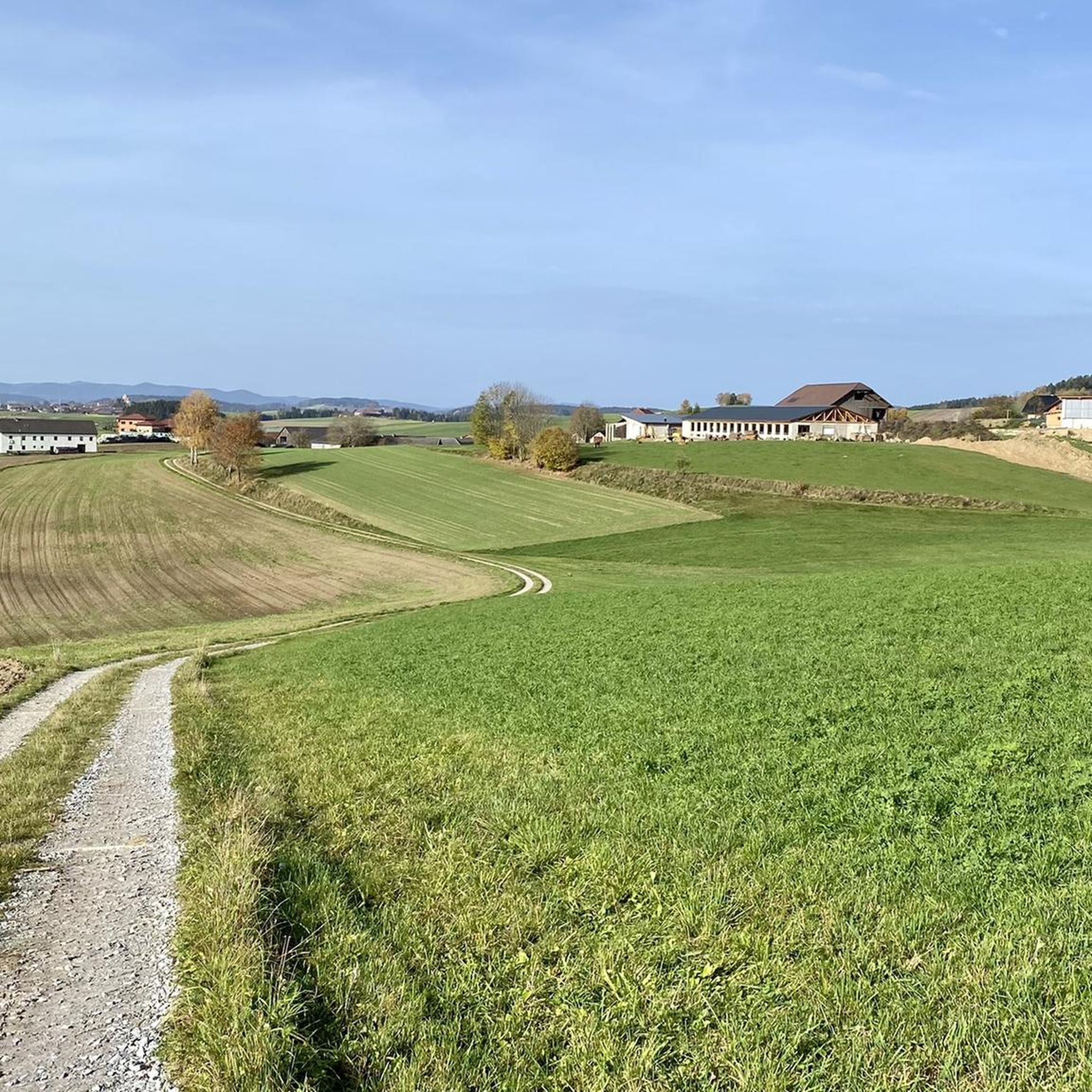
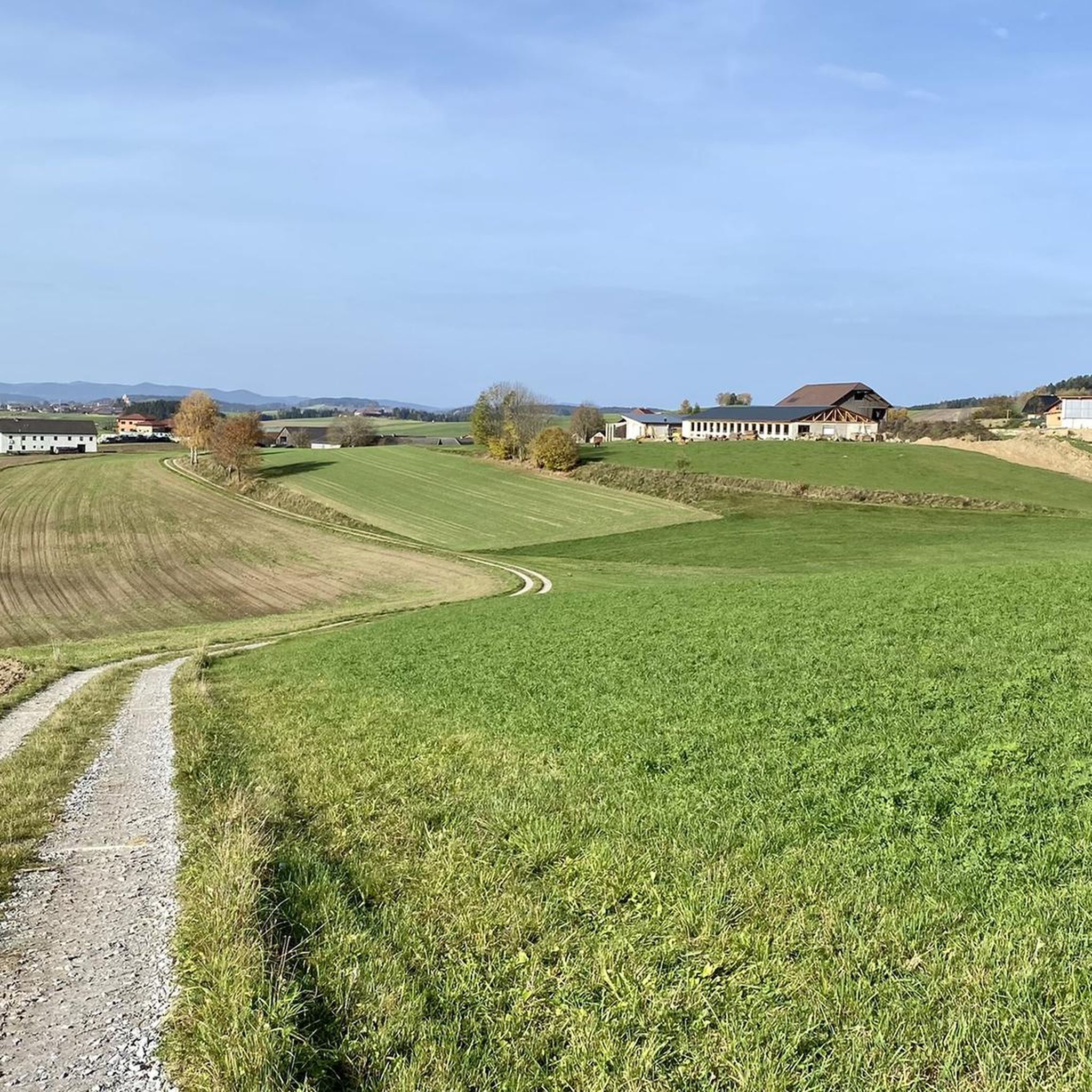
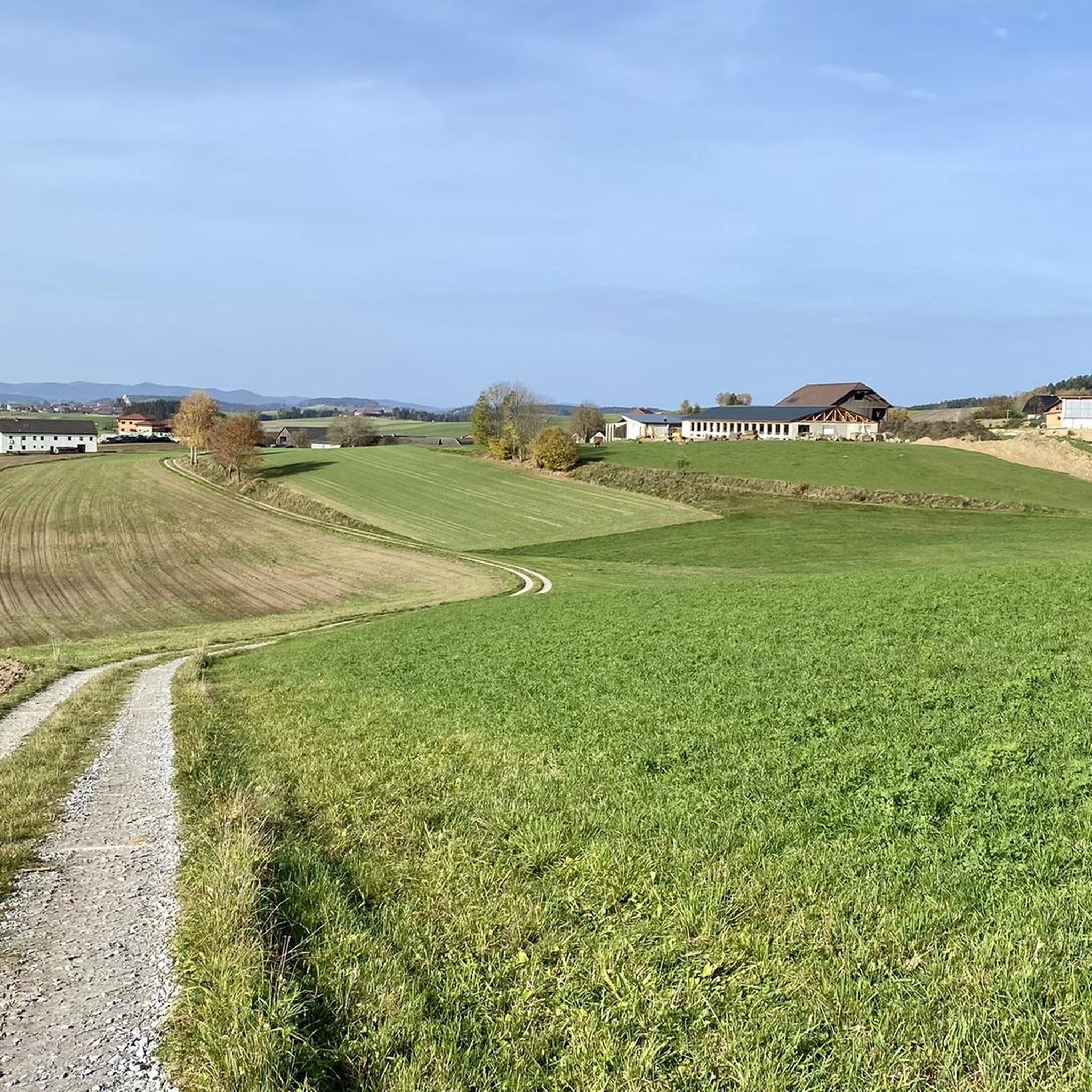
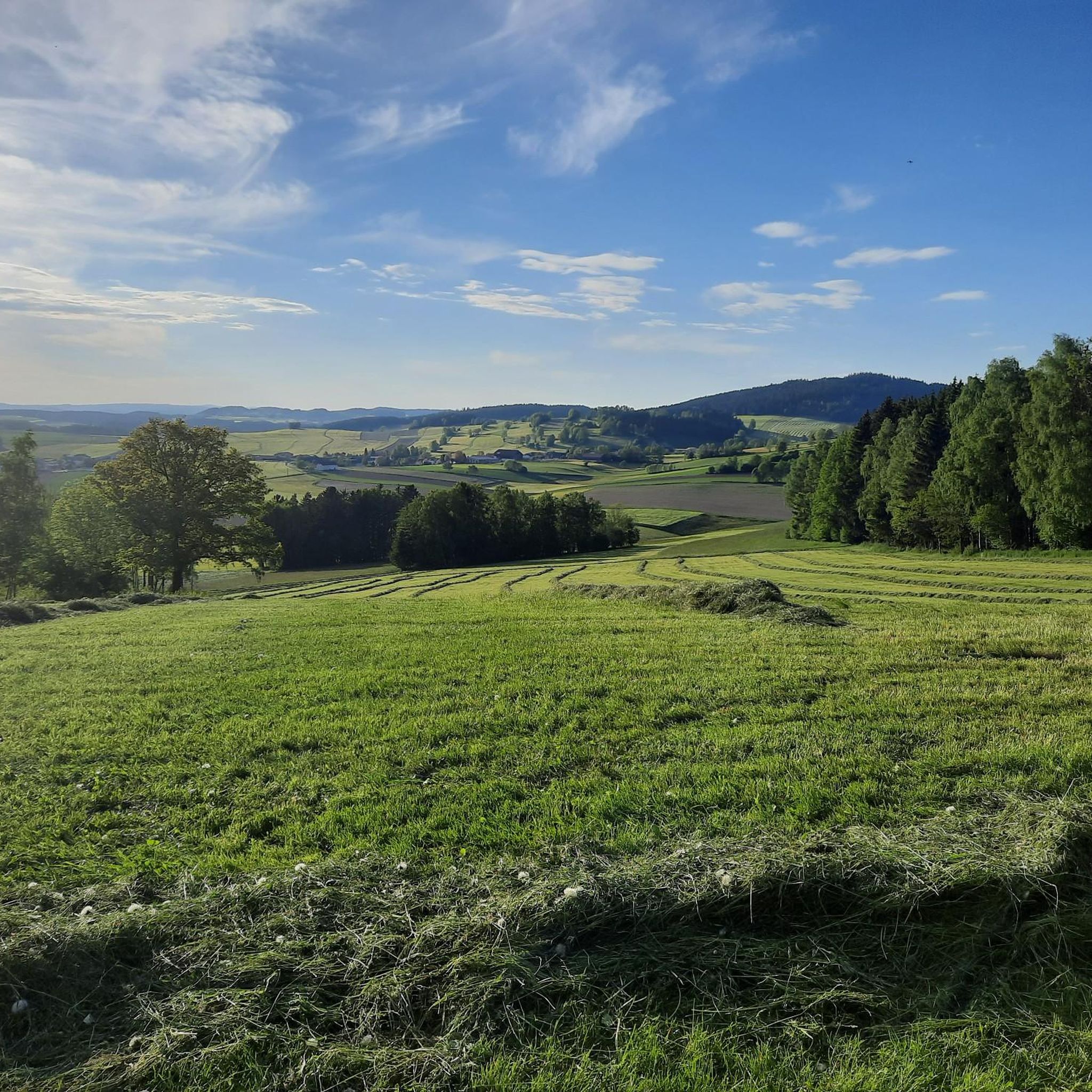
Tips from the Community

Beautiful view to the Alps, the church is also a highlight
0
0

Great view of the Alps!
0
0

Beautiful old church! Good view from the banker in front!
0
0

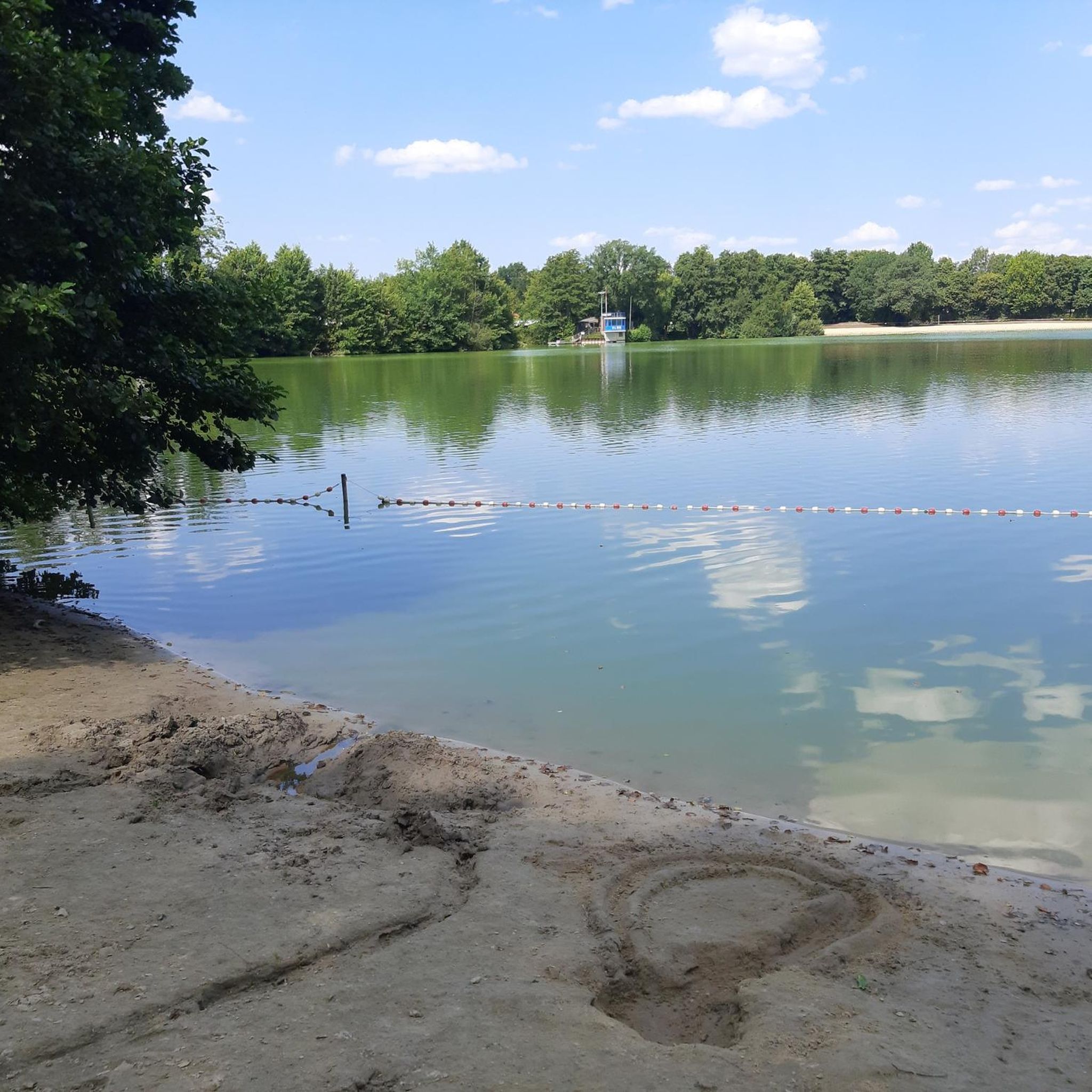
Beautiful leisure facility 🏊♀️ right in the center of town
0
0

Remote and lonely is the old branch church of St. Michael ob Rauchenödt in the Mühlviertler landscape. The former wooden building was replaced by a solid Gothic building in 1510 - just as it still stands in front of you today. Perfect for a break on a bike ride!
1
0

nice place to rest 🚶, refresh 🚴, swim
1
0

A power place from the olden days.
0
0

The branch church of St. Michael ob Rauchödt rises on a rocky knoll east of Grünbach. Since 1122 it was a branch parish with burial rights, which is still reminiscent of the former churchyard enclosed by a wall. At first there was a wooden church, also dedicated to the Archangel St. Michael. The Gothic building as we find it today was built in 1510. The most remarkable of this two-nave church is the late Gothic winged altar. His shrine figures are St. Michael and the Saints Nicholas and Stephan. The insides of the carved wings tell the legends of the depicted saints.
2
0
Frequently Asked Questions
How many running routes are available around Grünbach?
Grünbach offers a good selection of running routes, with over a dozen trails documented on komoot. These routes cater to various fitness levels, including easy, moderate, and difficult options.
Are there any family-friendly jogging routes in Grünbach?
Yes, Grünbach is well-suited for family outings. The paths along the Feldaist Stream in the Thury Valley are particularly accessible, even suitable for prams and wheelchairs, offering a relatively flat and enjoyable experience. Additionally, the area around the Hoh-Haus at Buchberg Observation Tower provides family-friendly routes mostly through meadows and fields.
What kind of terrain can I expect on the running trails in Grünbach?
The running trails in Grünbach, Upper Austria, feature diverse terrain. You'll find accessible paths along streams, open meadows, and extensive forest areas. While many routes are relatively flat, such as those in the Thury Valley, some trails, like the Running loop from Europaschutzgebiet Wiesengebiete im Freiwald, include more significant elevation changes, offering a mix of easy to difficult challenges.
Are there any scenic viewpoints or natural attractions along the running routes?
Absolutely! Grünbach boasts several scenic spots. You can enjoy beautiful views and tranquility from the Großer Zeißberg Summit. The Hoh-Haus at Buchberg Observation Tower also offers great vistas. For water features, the Rosenhof Ponds provide a picturesque environment, and the Feldaist Stream in the Thury Valley is known for its 'wildly romantic' atmosphere.
Are there circular running routes available in Grünbach?
Yes, many of the popular running routes in Grünbach are circular, allowing you to start and end at the same point. Examples include the popular Running loop from Helbetschlag and the Running loop from Grünbach, both offering a comprehensive exploration of the local surroundings.
What do other runners say about the trails in Grünbach?
The running routes in Grünbach are highly regarded by the komoot community, holding an average rating of 4.25 stars from over 70 reviews. More than 2500 runners have explored the area using komoot, often praising the diverse terrain, from forest paths to stream-side trails and open meadows.
Are there any beginner-friendly running routes in Grünbach?
Yes, Grünbach offers several routes suitable for beginners. The paths along the Feldaist Stream in the Thury Valley are particularly gentle and accessible. Look for routes categorized as 'easy' on komoot, which typically feature minimal elevation gain and well-maintained surfaces.
Can I find running routes that go through forested areas?
Grünbach is surrounded by extensive forests, making it an excellent location for forest running. Many trails, such as the Freiwaldteich Grünbach loop from Grünbach, lead directly through wooded areas, offering shade and a refreshing experience, especially in warmer months.
What is the best season for jogging in Grünbach?
Grünbach offers enjoyable running conditions throughout much of the year. The 'wildly romantic' Thurytal is particularly refreshing in midsummer. The extensive forests provide shade during warmer months, while the diverse landscape can be beautiful in spring and autumn. Winter jogging is also possible, though conditions may vary.
Are there any routes that pass by lakes or water bodies?
Yes, the Rosenhof Ponds are a notable feature in Grünbach, originally built for timber floating and now offering a scenic environment with a public bathing lake. The Flammbach also flows through these ponds, making routes in this area particularly appealing for those who enjoy running near water.
Are there options for longer or more challenging runs?
For runners seeking a greater challenge, Grünbach provides more difficult routes. The Running loop from Europaschutzgebiet Wiesengebiete im Freiwald, for instance, is an 11 km trail with significant elevation changes, offering a more demanding experience for advanced runners.
What is the general elevation of the Grünbach area?
Grünbach, Upper Austria, is situated at an elevation of 721 meters. While many valley paths are relatively flat, the surrounding landscape includes hills and features like the Buchberg, meaning some routes will involve moderate ascents and descents, providing varied elevation profiles for runners.
Most popular routes around Grünbach
Most popular attractions around Grünbach

Get inspired with the komoot mobile app


Explore more
Browse the best Running Trails & Routes in other regions.
