The best mountain hikes around Grünbach
11
hikers
4
hikes
Mountaineering routes around Grünbach are situated in southern Lower Austria, at the base of the Hohe Wand. This region is characterized by prominent mountain ridges, dense forests, and expansive meadows, offering diverse terrain for outdoor activities. The area is part of the scenic Schneeberg Region and Vienna Alps, providing a backdrop of natural features. Access to various peaks and viewpoints is available via established trails.
Best mountaineering routes around Grünbach
- The most popular mountaineering route is Buchberg – Elzer Stub'n…
Last updated: July 2, 2026
5
hikers
8.99km
02:45
320m
320m
Moderate mountaineering route. Good fitness required. Easily-accessible paths. Suitable for all skill levels.
3
hikers
11.1km
03:35
490m
490m
Moderate mountaineering route. Good fitness required. Easily-accessible paths. Suitable for all skill levels.

Sign up for free
2
hikers
8.03km
02:11
110m
110m
Moderate mountaineering route. Good fitness required. Easily-accessible paths. Suitable for all skill levels.
1
hikers
7.55km
02:11
180m
180m
Moderate mountaineering route. Good fitness required. Easily-accessible paths. Suitable for all skill levels.
Our route recommendations are based on thousands of hikes, rides, and runs completed by other people on komoot.
Start today with a free account
Your next adventure awaits.
Login or Signup
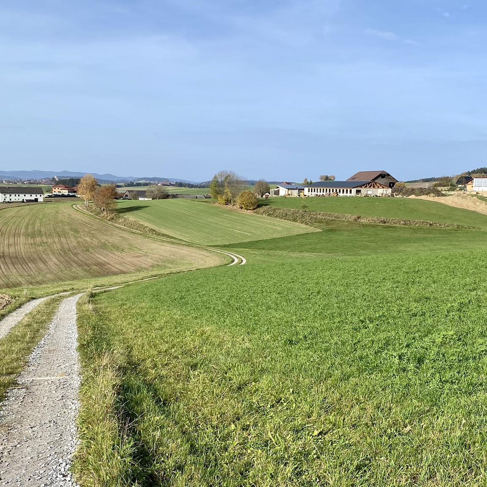
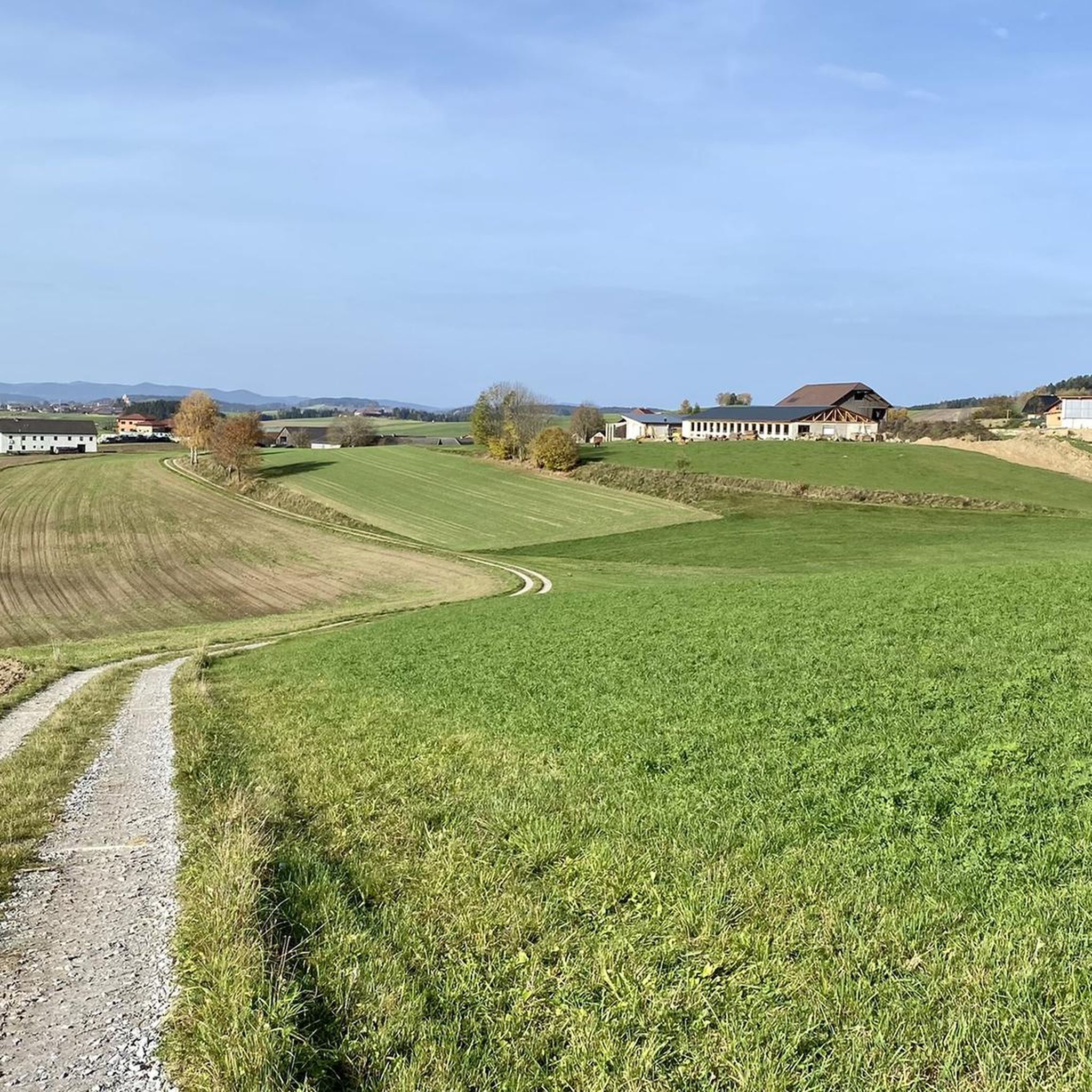
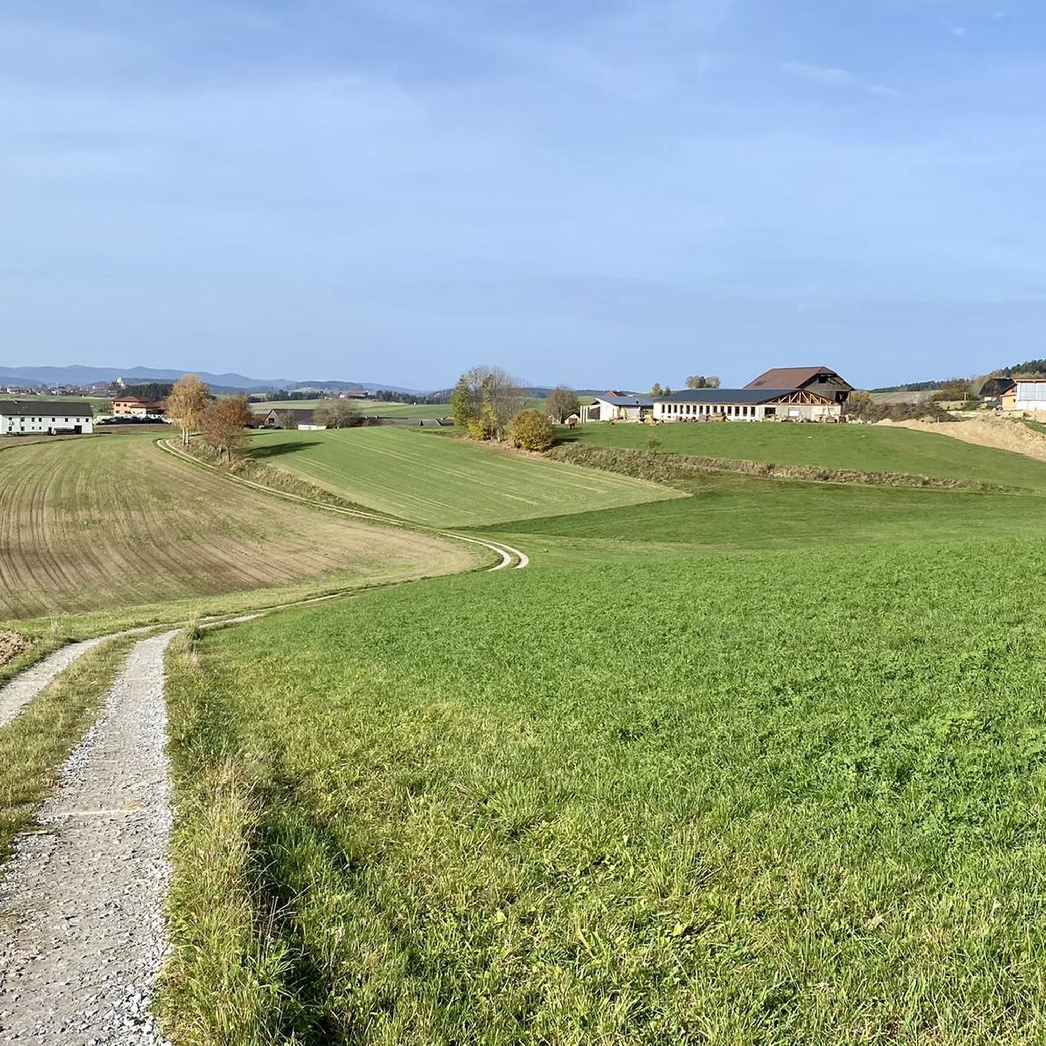
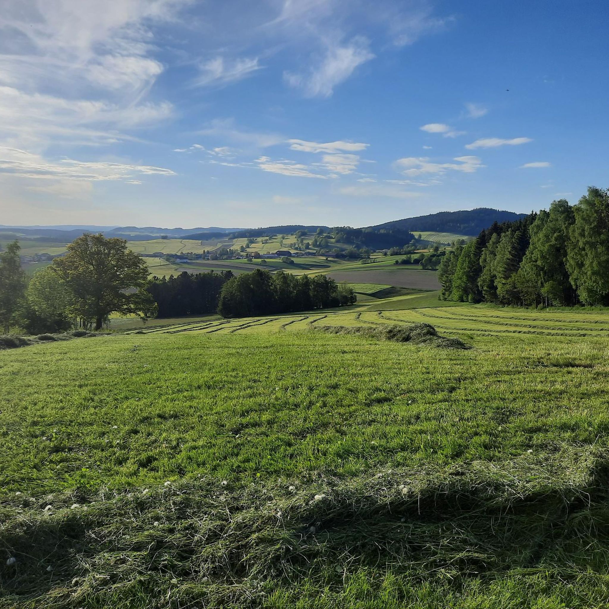
Tips from the Community

The ponds belong to the Rosenhof Forestry Estate and were originally used for timber storage. Swimming is not permitted in the large pond, but swimming is permitted in the small pond. However, the dark water takes some getting used to and requires a bit of courage.
5
0

Both ponds are approximately 600 meters long and 300 meters wide. The smaller (lower) one is a public bathing lake, while the upper one is not open to the public. The Flammbach flows through the ponds and flows into the Schwarze Aist. This in turn flows via the Waldaist into the Aist and thus into the Danube. The Rosenhof ponds were built in 1823 primarily to have enough water for the timber float. The timber float was almost 80 kilometers long, the gradient was 650 meters; there were 50 weirs along the route. In the 19th and 20th centuries, a lot of timber was floated every spring via the Flammbach, the Schwarze Aist and the Waldaist into the Aist, where the logs were then tied into large rafts in Au on the Danube and taken to Vienna. It was not until 1947 that the laborious and dangerous timber floating process was stopped – the logs could now be transported more cheaply by truck and rail.
0
0

View of Freistadt: only narrow - exactly through the window frame in the rear part of the site - continues to grow.
0
0

Church of St. Peter near Freistadt
0
0

A beer tasting is worthwhile, very good, different beers 🍻
0
0
no matter whether 🚴♂️ or 🚶♂️ always happy
0
0

Unfortunately, the Elzer Stub'n doesn't have a tenant yet. It's a shame:
0
0

Top beer with many different types of beer, great outdoor dining area and delicious food, be sure to stop by
0
0
Frequently Asked Questions
What kind of mountaineering routes can I expect around Grünbach?
The Grünbach region, situated at the foot of the Hohe Wand, offers a variety of mountaineering experiences characterized by prominent mountain ridges, dense forests, and expansive meadows. You'll find routes that traverse diverse terrain, providing scenic views within the Schneeberg Region and Vienna Alps.
Are there any routes suitable for beginners or families?
While all routes in this guide are rated as moderate, they are generally accessible for those with a reasonable level of fitness. For a pleasant outing that's not overly strenuous, consider the Forest Shrine (Waldandacht) – Hiking map of Freistadt loop from Freistadt, which is about 4.7 miles (7.5 km) and takes around 2 hours 11 minutes through varied natural landscapes. The region also offers many mountain hiking trails that are less demanding than alpine climbing routes.
Are there circular mountaineering routes available?
Yes, many of the routes around Grünbach are designed as loops, allowing you to start and end at the same point. For example, the Buchberg – Elzer Stub'n loop from Kefermarkt is a popular circular route covering 5.6 miles (9.0 km). Another option is the Buchberg – Braunberg Hut loop from Lasberg, which is a longer 6.9 miles (11.1 km) loop with significant elevation gain.
What are the typical distances and durations for mountaineering routes in this area?
The routes in this guide typically range from approximately 4.7 miles (7.5 km) to 6.9 miles (11.1 km) in distance. You can expect durations from about 2 hours 10 minutes to 3 hours 35 minutes, depending on the specific route and your pace. For instance, the Rosenhof Ponds loop from Schloss Rosenhof is about 5.0 miles (8.0 km) and takes around 2 hours 10 minutes.
Can I bring my dog on the mountaineering routes?
Many trails in the Grünbach area are dog-friendly, but it's always advisable to check local regulations and signage for specific routes, especially in nature reserve areas. Ensure your dog is well-behaved, kept on a leash where required, and that you carry waste bags. The diverse terrain, from forests to meadows, generally offers a good environment for walks with your canine companion.
Where can I find parking for the mountaineering trails?
Parking is generally available at the starting points of many popular trails around Grünbach. For routes like the Buchberg – Elzer Stub'n loop from Kefermarkt, you would typically find parking options near Kefermarkt. Similarly, routes starting from Schloss Rosenhof or Freistadt usually have designated parking areas. It's recommended to check specific route details on komoot for precise parking information.
Are there places to eat or drink along the routes, or huts for longer excursions?
Yes, the region offers options for refreshments. The Buchberg – Braunberg Hut loop from Lasberg, for instance, passes by the Braunberg Hut, which can be a great spot for a break. The Hubertushaus is another notable hut in the Hohe Wand area, serving as a cultural hub and offering amenities for hikers and mountaineers. You'll find various cafes and pubs in the villages surrounding the trails.
What scenic spots or attractions can I see along the mountaineering routes?
The Grünbach area is rich in natural beauty and interesting landmarks. Along your routes, you might encounter stunning viewpoints like the Hoh-Haus at Buchberg Observation Tower or the Braunberg East Summit. The region also features beautiful water bodies such as the Rosenhof Ponds and the Lasberg Reservoir, which can be incorporated into your tours.
When is the best time of year for mountaineering in Grünbach?
The Hohe Wand area, where Grünbach is located, is known for its south-facing and weather-favorable location, making it suitable for mountaineering across many seasons. Spring and autumn offer pleasant temperatures and vibrant scenery, while summer provides longer daylight hours. Always check local weather forecasts before heading out, especially for higher elevations.
Are there more challenging routes for experienced mountaineers?
While the routes in this specific guide are moderate, the broader Hohe Wand region is renowned for its diverse climbing opportunities, including alpine climbing and via ferratas. Routes like the "Turmsteig and Baumgartnerturm," "Kanzelsteig to the Große Kanzel," and the "Gebirgsvereinssteig" (a via ferrata) offer more demanding experiences. Some, like the "Wildenauersteig," require sure-footedness, sturdy shoes, and alpine experience.
How many mountaineering routes are covered in this guide?
This guide features 4 carefully selected mountaineering routes around Grünbach, all of which are rated as moderate. These routes showcase the best of the region's diverse landscapes, from prominent mountain ridges to dense forests and expansive meadows.
What do other mountaineers enjoy most about the Grünbach routes?
Mountaineers using komoot frequently praise the varied terrain and the scenic backdrop of the Schneeberg Region and Vienna Alps. The well-maintained trails and the opportunity to explore prominent natural features like the Hohe Wand are often highlighted as key attractions. The accessibility and the range of options for different ability levels also contribute to a positive experience.
Most popular routes around Grünbach
Most popular attractions around Grünbach

Get inspired with the komoot mobile app


Explore more
Browse the best Mountain Hikes & Routes in other regions.
