The best running trails around St. Lorenzen
4.6
(15)
684
runners
94
runs
Jogging around St. Lorenzen offers a variety of running routes through a landscape characterized by rolling hills and varied terrain. The region features paths with moderate elevation changes, suitable for different fitness levels. Many trails wind through rural areas, providing a mix of open views and more sheltered sections. The network of running routes includes options from short, gentle loops to longer, more challenging paths with greater ascents.
Best jogging routes around St. Lorenzen
- The most popular jogging route is Running loop from Rohrbach an der Lafnitz, a 4.9 miles (7.8 km) trail that takes about 50 minutes to complete, featuring gentle gradients through open countryside.
- Another top favourite among local runners is St. Lorenzen am Wechsel loop from Sankt Lorenzen am Wechsel, a moderate 3.4 miles (5.5 km) path that includes noticeable climbs and scenic views.
- Local runners also love the Parish Church of Mönichwald loop from Bruck an der Lafnitz, a 3.7 miles (6.0 km) trail leading through varied terrain, often completed in about 40 minutes.
- Jogging around St. Lorenzen is defined by rolling hills, rural paths, and a mix of open and sheltered sections. The network offers options for easy jogging routes as well as more challenging running trails.
- The routes in St. Lorenzen are highly rated by the komoot community with an average score of 4.5 stars from over 10 reviews. More than 650 runners have used komoot to explore St. Lorenzen's varied terrain.
Last updated: October 5, 2026
13
runners
7.83km
00:50
40m
40m
Moderate run. Good fitness required. Mostly paved surfaces. Suitable for all skill levels.
12
runners
Hard run. Very good fitness required. Sure-footedness, sturdy shoes and alpine experience required.

10
runners
26.8km
03:45
1,110m
1,110m
Hard run. Very good fitness required. Sure-footedness, sturdy shoes and alpine experience required.
9
runners
5.45km
00:36
130m
130m
Moderate run. Good fitness required. Mostly paved surfaces. Suitable for all skill levels.
8
runners
4.94km
00:31
60m
60m
Easy run. Great for any fitness level. Mostly paved surfaces. Suitable for all skill levels.
Get access to more routes and recommendations from other explorers.
Already have an account?
Our route recommendations are based on thousands of hikes, rides, and runs completed by other people on komoot.
Start today with a free account
Your next adventure awaits.

Tips from the Community

The waterfall is wonderfully beautiful, and you don't have to go far from the forest path, about 80m. Be careful on the big stones and roots! Fortunately, we can take excellent photos from the small wooden bridge laid across.
0
0

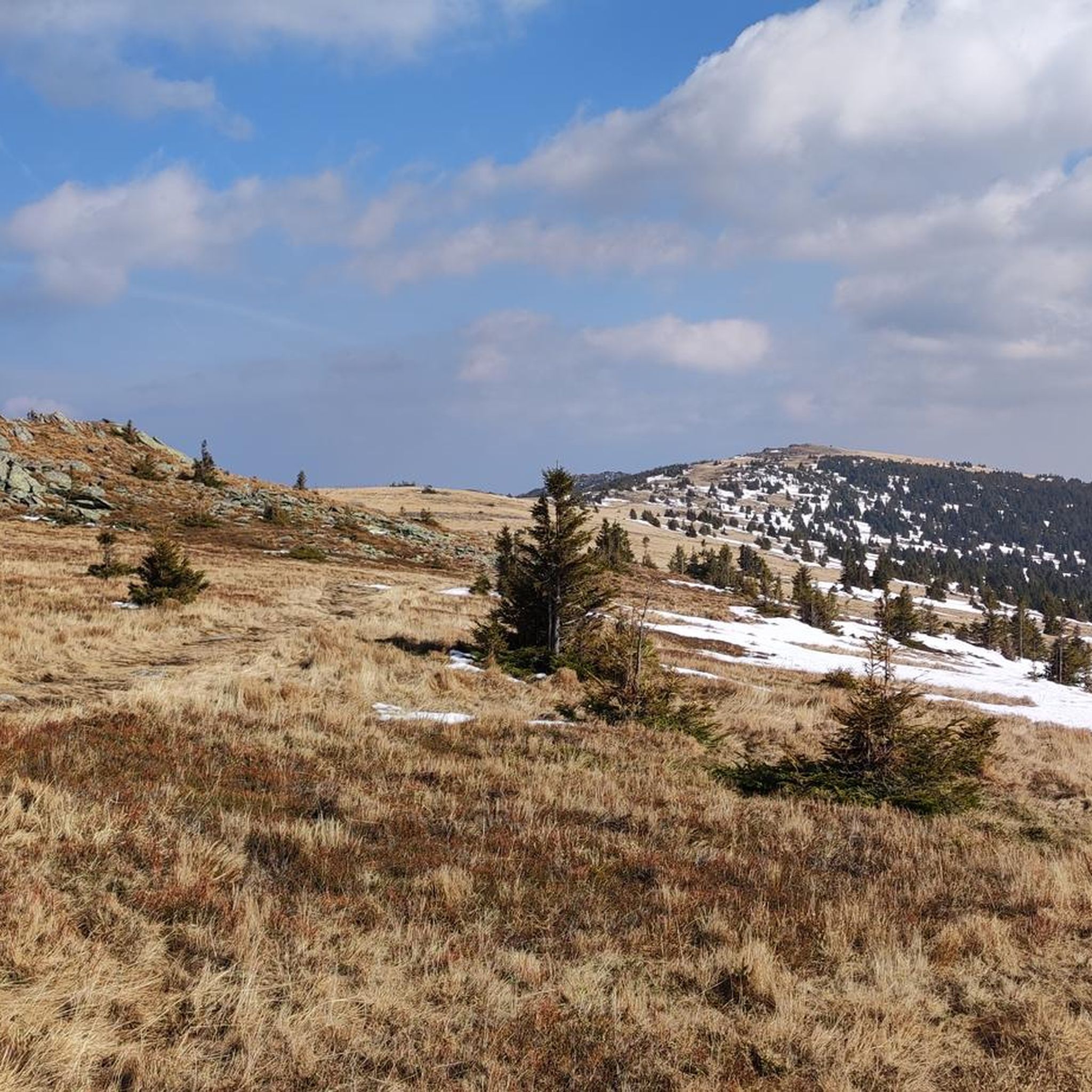
The Niederwechsel (1,669 m) is located on the elongated ridge of the Wechsel region and, with its open alpine pastures, offers a beautiful contrast to the later forest sections. From the summit area, wide views open up over the surrounding mountain landscape and, in good visibility, to the distinctive peaks of the Eastern Alps. A worthwhile intermediate point on the way down from the Hochwechsel towards Mönichkirchner Schwaig.
3
0
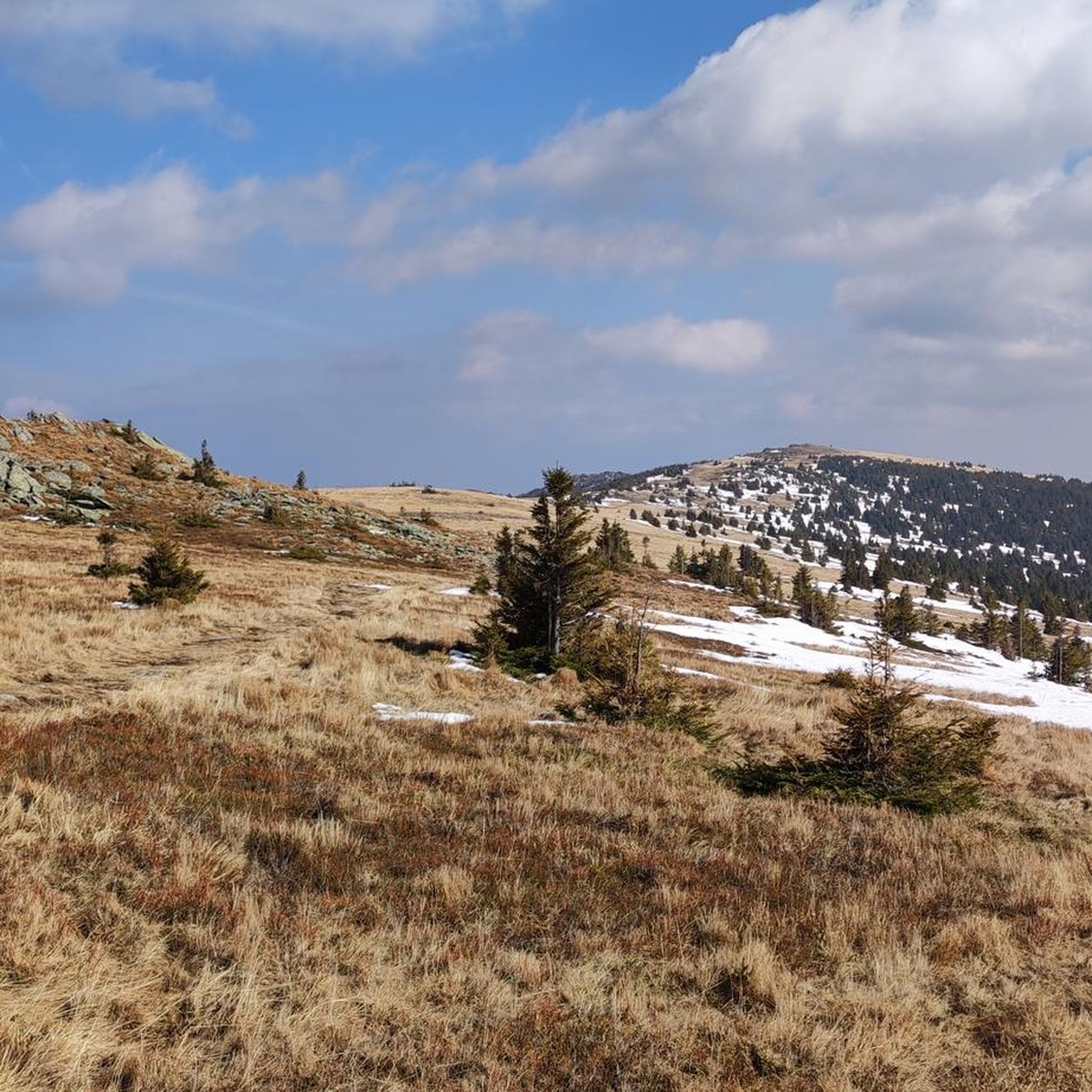
The Stoa Alm is a rustic alpine pasture on the Niederwechsel and a beautiful resting point along the hiking route. Surrounded by meadows and the gentle mountain landscape of the Wechsel region, it offers a pleasant opportunity for a break. The quiet, original atmosphere away from the more frequented paths is particularly charming.
4
0
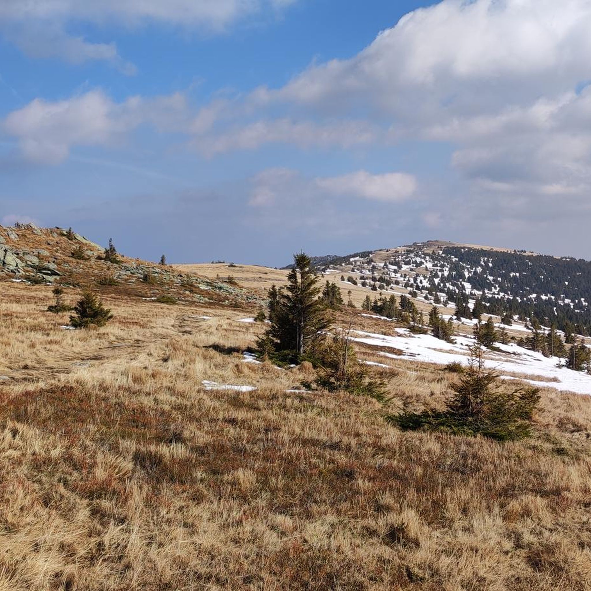
The Festenburg summit is located on the Niederwechsel and is a rather inconspicuous, natural point along the ridge. Instead of a distinct summit structure, forest and the gentle landscape of the Wechselland characterize this section. A quiet waypoint away from the more prominent peaks – typical for the elongated ridges of the Wechsel Mountains.
3
0
The large wooden „W“ stands directly on the Hochwechsel and marks the start of the Hochwechsel Trail „The WU“. It serves as a kind of gateway to the mountain bike trail, which leads from here across the alpine pasture in the direction of Marienseer Schwaig. Due to its striking shape, the „W“ is now also a distinctive photo motif directly on the Hochwechsel.
3
0
The Wetterkoglerhaus is located directly on the summit of the Hochwechsel at 1,743 meters and is a hut of the Austrian Alpine Club. With good visibility, the hut offers a magnificent panorama over the Wechsel region to Schneeberg, Rax, and Hochschwab. Due to its immediate proximity to the summit cross and chapel, the Wetterkoglerhaus is an ideal resting and refreshment stop at the highest point of the tour.
4
0
The Hochwechsel Trail Nord leads through the open alpine and mountain landscape of the Wechsel region up towards Hochwechsel. The path, which runs predominantly on loose ground, is actually part of the Wexl Trails mountain bike trail network, but can also be used in sections as a connection along a hiking route. Especially in the upper section, the route offers beautiful views over the extensive Wechsel Alps and the surrounding mountain world.
3
0

Frequently Asked Questions
How many running routes are available in St. Lorenzen?
There are over 90 running routes around St. Lorenzen, offering a wide range of options for different fitness levels. You'll find everything from easy, gentle loops to more challenging trails with significant elevation changes.
Are there easy jogging routes suitable for beginners in St. Lorenzen?
Yes, St. Lorenzen offers several easy jogging routes perfect for beginners or those looking for a relaxed run. For instance, the region has 4 routes specifically categorized as easy, with many moderate routes also featuring gentle gradients. The overall landscape of rolling hills provides accessible terrain.
What are some longer distance running trails in St. Lorenzen?
For those seeking longer runs, St. Lorenzen has several options. One notable trail is the Running loop from Dechantskirchen, which covers over 10.5 km (6.5 miles) with moderate elevation. Another challenging option is the Rabenbräu loop from Rohrbach-Vorau, extending over 17 km (10.5 miles).
Are there circular running routes in St. Lorenzen?
Many of the running routes in St. Lorenzen are circular, allowing you to start and finish at the same point. A popular example is the St. Lorenzen am Wechsel loop from Sankt Lorenzen am Wechsel, a moderate 5.5 km (3.4 miles) path that offers scenic views and noticeable climbs.
What kind of terrain can I expect on the jogging routes around St. Lorenzen?
The terrain around St. Lorenzen is characterized by rolling hills and varied landscapes. You can expect a mix of rural paths, open countryside, and more sheltered sections. Many routes feature moderate elevation changes, providing a good workout without being overly strenuous.
Are there any interesting landmarks or viewpoints along the running trails?
Yes, the region around St. Lorenzen offers several points of interest. While running, you might encounter views towards prominent summits like the Chapel and summit cross on the Hochwechsel or the Großer Pfaff summit. These provide excellent photo opportunities and scenic breaks.
What do other runners enjoy most about the trails in St. Lorenzen?
The running trails in St. Lorenzen are highly regarded by the komoot community, with an average rating of 4.5 stars from over 10 reviews. Runners often praise the varied terrain, the mix of open and sheltered paths, and the overall natural beauty of the rolling hills and rural areas.
Can I find family-friendly running routes in St. Lorenzen?
Yes, many of the easier and moderate routes in St. Lorenzen are suitable for families. The gentle gradients and well-maintained paths through rural areas make for an enjoyable experience for all ages. Look for routes categorized as 'easy' for the most family-friendly options.
Are the running trails in St. Lorenzen suitable for dogs?
Generally, the rural paths and open countryside around St. Lorenzen are dog-friendly. However, it's always recommended to keep dogs on a leash, especially near livestock or in populated areas, and to check local regulations for specific trails. Ensure your dog is accustomed to varied terrain and elevation changes.
What is the best time of year for jogging in St. Lorenzen?
St. Lorenzen offers enjoyable running conditions throughout much of the year. Spring and autumn provide pleasant temperatures and beautiful scenery with changing foliage. Summer is also great, especially in the mornings or evenings, while winter running can be picturesque, though some trails might require appropriate gear due to snow or ice.
Are there any running routes that pass by cafes or refreshment stops?
While specific cafes directly on every route are not guaranteed, many trails in St. Lorenzen pass through or near villages and towns where you can find local eateries and cafes. It's a good idea to check the route map in advance to identify potential refreshment stops along your chosen path.
How accessible are the running routes by public transport in St. Lorenzen?
Access to running routes by public transport in St. Lorenzen can vary. While some routes might be reachable via local bus services to the main towns or starting points, others may require a short walk or car journey to the trailhead. It's advisable to check local bus schedules and route starting points for specific public transport options.
Most popular routes around St. Lorenzen
Most popular attractions around St. Lorenzen

Get inspired with the komoot mobile app


Explore more
Browse the best Running Trails & Routes in other regions.
