The best MTB trails around St. Lorenzen
4.6
(694)
4,880
riders
216
rides
Mountain biking around St. Lorenzen offers diverse landscapes, from the high peaks of the Dolomites to the verdant Pustertal Valley. The region is characterized by its mountainous terrain, including the prominent Kronplatz mountain, and features a mix of dense forests and open meadows. This area provides a comprehensive network of mountain bike trails, catering to various skill levels.
Best mountain bike trails around St. Lorenzen
- The most popular mountain bike trail is Vorauer Schwaig Trail – Hilmtor (996 m) and…
Last updated: July 2, 2026
4.3
(8)
49
riders
58.1km
05:41
1,600m
1,600m
Hard mountain bike ride. Very good fitness required. Advanced riding skills necessary.
5.0
(8)
37
riders
57.4km
06:26
1,840m
1,840m
Hard mountain bike ride. Very good fitness required. Advanced riding skills necessary. Some portions of the route may require you to push your bike.

Sign up for free
5.0
(2)
31
riders
34.7km
03:51
1,120m
1,120m
Hard mountain bike ride. Very good fitness required. Advanced riding skills necessary.
5.0
(3)
18
riders
Hard mountain bike ride. Very good fitness required. Suitable for all skill levels.
5.0
(3)
15
riders
Hard mountain bike ride. Very good fitness required. Advanced riding skills necessary.
Get access to more routes and recommendations from other explorers.
Sign up for free
Already have an account?
Our route recommendations are based on thousands of hikes, rides, and runs completed by other people on komoot.
Start today with a free account
Your next adventure awaits.
Login or Signup

Tips from the Community


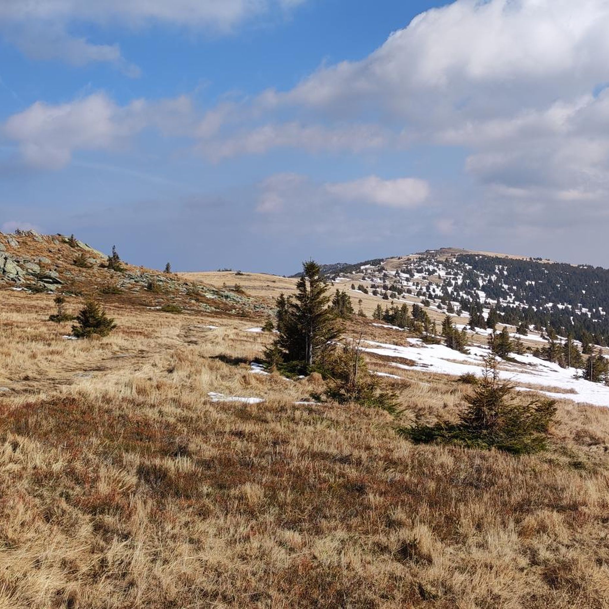
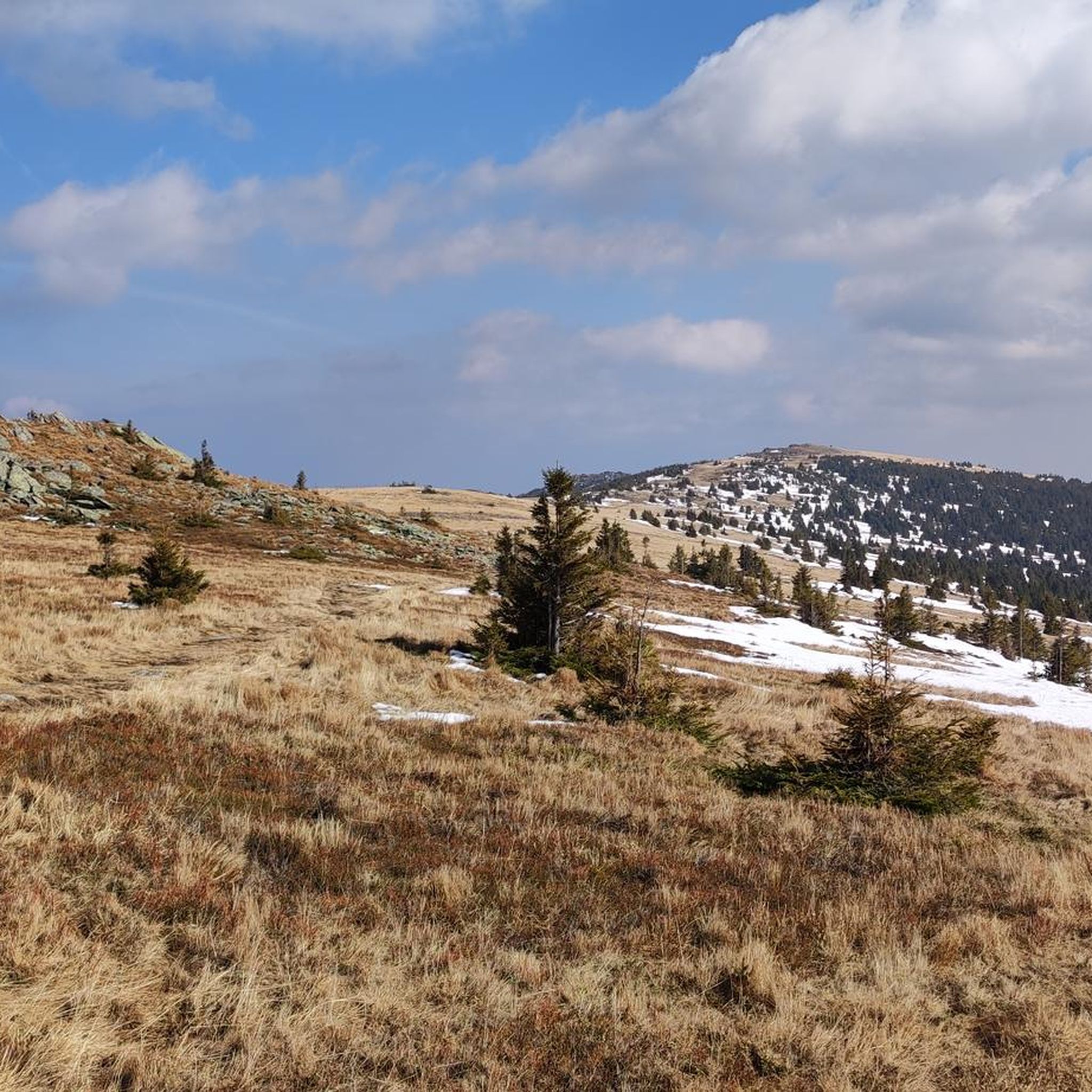
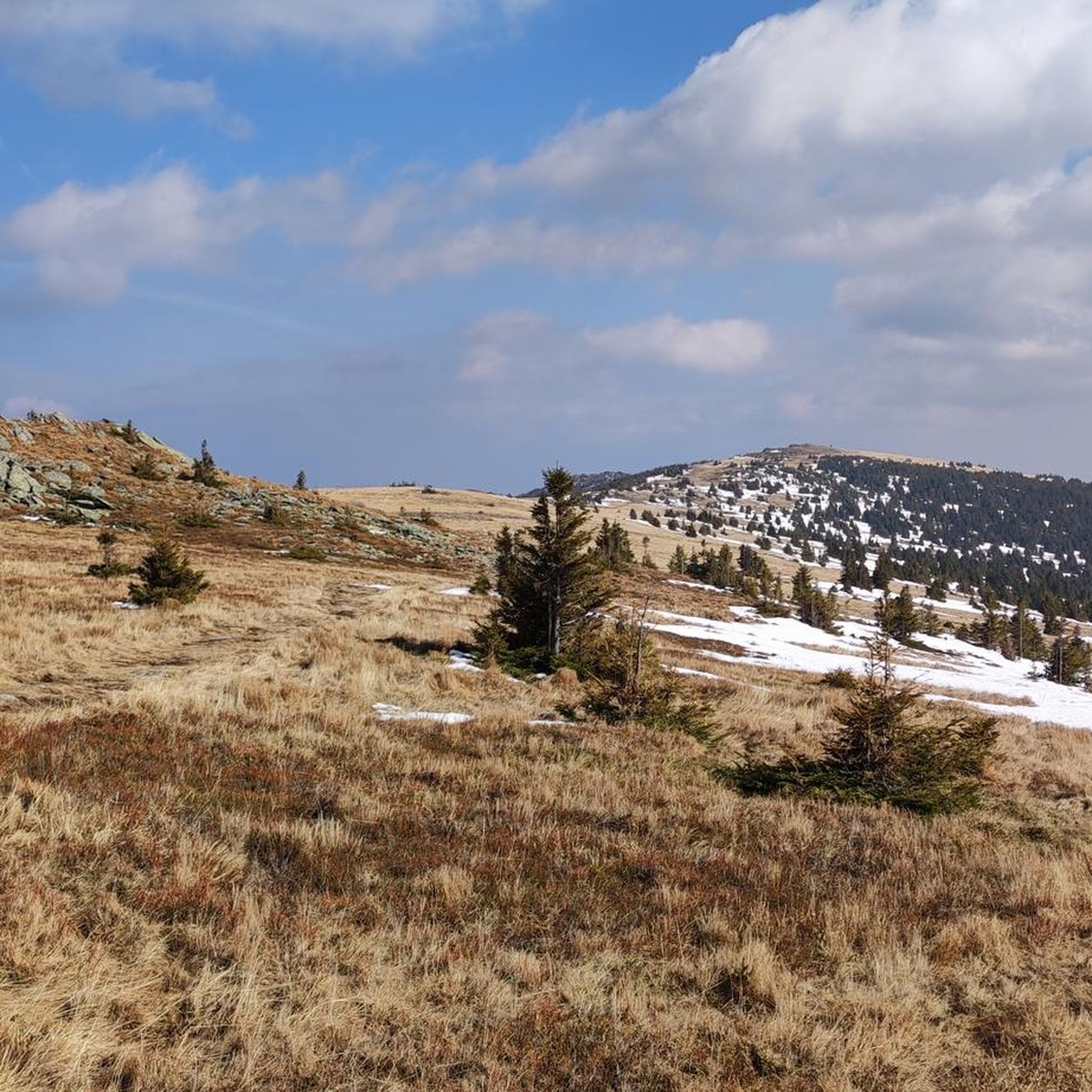
The Masenberg at 1,262 m above sea level is the last high spur of the Central Alps towards the east. With its elongated mountain ridge, it separates the Vorau basin to the north and the Lafnitztal to the east.
0
0

Easy trail with beautiful views.
0
0

The cardinal slices alone make a stop worthwhile 😋😋😇🤩
0
0

The route shown here on the map is not correct! The Vorauer Schwaig Trail can be ridden uphill and downhill and follows the route marked in green on the map. In addition, taking the direct route to the Wechsel summit is not permitted. Instead, you go around the summit on the northeast side and then reach the summit via part of the Hochwechseltrail North route!
0
0

The mountain ridge of the Wechsel stretches for over 15 km - the eastern Austrian low mountain range on the border between Lower Austria and Styria 🌲 Its three most lofty peaks each rise over 1,700 m ⛰️ Thanks to its mountain landscapes, which range from lovely to challenging, the Wechsel is considered a hiking destination for families on the one hand - and a local recreation area for experienced hikers and climbers on the other 🥾 The Hochwechsel, as the highest peak, offers particularly worthwhile views: the panoramic view stretches from Semmering and Rax to the Schneeberg 🌄 In good weather, even Burgenland, Styria, Hungary and Slovenia can be seen 😎 From mid-May to mid-November, a wonderful rest in the Wetterkoglerhaus is also tempting 🧃 www.wieneralpen.at/ausflugsziel-in-den-wiener-alpen-entdecken/a-hochwechsel-im-wechselgebirge
10
0
The Hochwechsel summit not only offers an impressive panoramic view of the surrounding landscape of Styria and Lower Austria, but is also known for its picturesque chapel, which invites visitors to reflect and relax 🌄 Inside, the chapel surprises with colorful paintings, coats of arms and inscriptions that are painted directly onto the wood of the dome and reach all the way to the top ⛪ Source www.steiermark.com/de/Oststeiermark/Urlaub-planen/Ausflugsziele/Hochwechsel-Gipfel_isd_42403458
9
0
Altitude 📕 1743 m Rooms/beds 📗 9 Mattresses 📘 26 Winter room 📙 The winter room is not locked (3 places, heated). 3 places, electric fan heater with coin slot, no cooking facilities. Emergency room 📓 The emergency room is unlocked. Is the same as the winter room. www.alpenverein.at/wetterkoglerhaus
8
0
Frequently Asked Questions
What kind of mountain bike trails can I expect around St. Lorenzen?
St. Lorenzen offers a diverse range of mountain bike trails, from challenging downhill and flow trails at the Kronplatz Bike Park to more leisurely rides along the Pustertal Valley Cycling Path. You'll find a mix of high mountain passes, forested singletracks, and scenic valley paths, catering to various skill levels. The region is characterized by its mountainous terrain, including the prominent Kronplatz mountain, and features dense forests and open meadows.
Are there mountain bike trails suitable for beginners or less experienced riders?
Yes, while the area is known for challenging routes like the Herrnsteig trail, there are also options for beginners. The Pustertal Valley Cycling Path, which directly traverses St. Lorenzen, offers gentle rides through picturesque valley landscapes. Additionally, out of the 236 mountain bike tours available, 16 are rated as easy, providing accessible options for those new to the sport or looking for a more relaxed experience.
What is the typical length and elevation gain of mountain bike routes in the St. Lorenzen area?
The routes around St. Lorenzen vary significantly in length and elevation. For example, a difficult route like the Vorauer Schwaig Trail – Hilmtor (996 m) and Hilm Bar loop from Rohrbach-Vorau covers 58.0 km with an elevation gain of approximately 1,600 meters. Moderate trails, such as the St. Lorenzen am Wechsel – Glatzl Trahütten Alm loop from Sankt Lorenzen am Wechsel, are around 15.7 km with about 640 meters of elevation gain. There are 236 tours in total, with 149 rated as moderate and 71 as difficult, offering a wide range of challenges.
What scenic views or natural features can I expect on the mountain bike trails?
Mountain biking in St. Lorenzen offers breathtaking scenery. You can expect panoramic 360-degree views from the Kronplatz mountain, stretching from the Dolomites to the main Alpine ridge. The majestic Dolomites themselves form a stunning backdrop for many routes. The Pustertal Valley provides verdant meadows and dense forests, while a hike to Mt. Astjoch offers unique panoramic views of the Pustertal. The region also encompasses three nature parks, including the renowned Fanes-Sennes-Braies Nature Park, enriching the natural appeal.
Are there any specific landmarks or attractions accessible by mountain bike?
Yes, the region around St. Lorenzen offers several natural attractions. You can find beautiful waterfalls, such as the Marienseer Waterfall or the Wechselgraben Waterfall. There are also serene lakes, including the View of Speicherteich St. Corona and the Bärenlacke Pond. The Sonnenburger Kopf also features an interesting archaeological panoramic trail.
How can I access the mountain bike trails, and is there parking available?
Many trails are accessible directly from St. Lorenzen or nearby villages. For higher elevations, you can comfortably reach them via several lifts from locations like Reischach, Percha, Olang, St. Vigil in Enneberg, or Furkel Pass. While specific parking information for every trailhead isn't provided, mountain biking destinations like Kronplatz Bike Park typically offer dedicated parking facilities. The Pustertal Valley Cycling Path is also easily accessible.
Can I reach the mountain bike trails using public transport?
St. Lorenzen is situated in the Pustertal Valley, which is well-connected. The Pustertal Valley Cycling Path directly traverses St. Lorenzen, making it accessible via public transport that serves the valley. For specific trailheads, it's advisable to check local bus or train schedules to see which routes align with your desired starting points, especially for those trails not directly in the valley.
What is the best time of year for mountain biking in St. Lorenzen?
The best time for mountain biking in St. Lorenzen is generally from spring through autumn. During these seasons, the weather is most favorable, and the trails are typically clear of snow. Summer offers warm temperatures and full access to all trails and lift services, while spring and autumn provide cooler temperatures and often stunning natural colors, particularly in the Pustertal Valley and surrounding forests.
Are there any loop mountain bike trails around St. Lorenzen?
Yes, many mountain bike routes in the St. Lorenzen area are designed as loops, allowing you to start and finish at the same point. Examples include the Hochwexl "The WU" Trail – Marienseer Alpine Hut loop from Sankt Lorenzen am Wechsel and the Wetterkogler House – Glatzl Trahütten Alm loop from Sankt Lorenzen am Wechsel. These circular routes offer varied terrain and scenic views without the need for shuttle services.
What do other mountain bikers enjoy the most about mountain biking in St. Lorenzen?
The mountain biking experience in St. Lorenzen is highly rated by the komoot community, with an average score of 4.6 stars from over 680 reviews. Reviewers often praise the diverse landscapes, from the high peaks of the Dolomites to the verdant Pustertal Valley, and the comprehensive network of trails that cater to various skill levels. The presence of the world-class Kronplatz Bike Park is also a significant draw.
Are there any family-friendly mountain bike options in St. Lorenzen?
For families, the Pustertal Valley Cycling Path offers a less extreme and more relaxed biking experience through the picturesque valley. While many routes in the guide are moderate to difficult, the 16 easy-rated tours provide suitable options for families with children or those seeking a gentler ride. The archaeological panoramic trail on the Sonnenburger Kopf is also mentioned as suitable for families, suggesting accessible paths in that area.
Can I bring my dog on the mountain bike trails in St. Lorenzen?
While the guide doesn't explicitly state dog-friendly policies for every trail, generally, dogs are allowed on many public trails in the South Tyrol region, provided they are kept on a leash and owners clean up after them. However, specific rules may apply to certain protected areas, nature parks, or bike park facilities. It's always best to check local regulations or specific trail signage before heading out with your dog.
Most popular routes around St. Lorenzen
Most popular attractions around St. Lorenzen

Get inspired with the komoot mobile app


Explore more
Browse the best MTB trails in other regions.
