The best mountain hikes around Tragöß-Sankt Katharein
4.7
(62)
1,253
hikers
14
hikes
Mountaineering routes around Tragöß-Sankt Katharein are situated within Austria's Styria region, characterized by the Hochschwab massif. The terrain features majestic limestone mountains, dense forests, and picturesque alpine meadows, with elevations exceeding 2,200 meters. This diverse landscape provides varied and challenging conditions for mountaineering. The region offers an extensive network of trails suitable for different skill levels.
Best mountaineering routes around Tragöß-Sankt Katharein
- The most popular mountaineering route is Hiaslegg Parking Area – Almgasthaus Hiaslegg loop from Hiaslegg, a 8.4…
Last updated: July 1, 2026
5.0
(4)
43
hikers
13.3km
06:03
910m
910m
Hard mountaineering route. Very good fitness required. Sure-footedness, sturdy shoes and alpine experience required.
5.0
(1)
39
hikers
9.29km
05:16
1,020m
1,020m
Hard mountaineering route. Very good fitness required. Mostly accessible paths. Sure-footedness required.

Sign up for free
4.0
(2)
31
hikers
18.4km
07:36
1,170m
1,170m
Hard mountaineering route. Very good fitness required. Sure-footedness, sturdy shoes and alpine experience required.
18
hikers
10.7km
03:54
650m
650m
Moderate mountaineering route. Good fitness required. Easily-accessible paths. Suitable for all skill levels.
10
hikers
16.3km
06:11
870m
870m
Hard mountaineering route. Very good fitness required. Sure-footedness, sturdy shoes and alpine experience required.
Get access to more routes and recommendations from other explorers.
Sign up for free
Already have an account?
Our route recommendations are based on thousands of hikes, rides, and runs completed by other people on komoot.
Start today with a free account
Your next adventure awaits.
Login or Signup
Popular around Tragöß-Sankt Katharein

North Alpine Trail 01 – Hike across Austria in 49 days

North-South Trail through Austria – Small country, big paths!
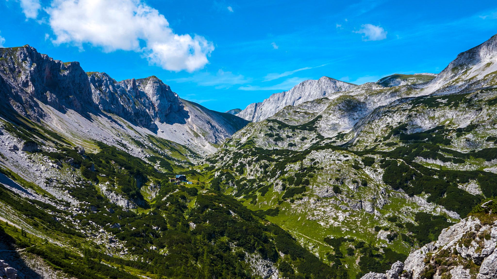
The BergZeitReise – a beautiful long-distance hiking trail across Styria
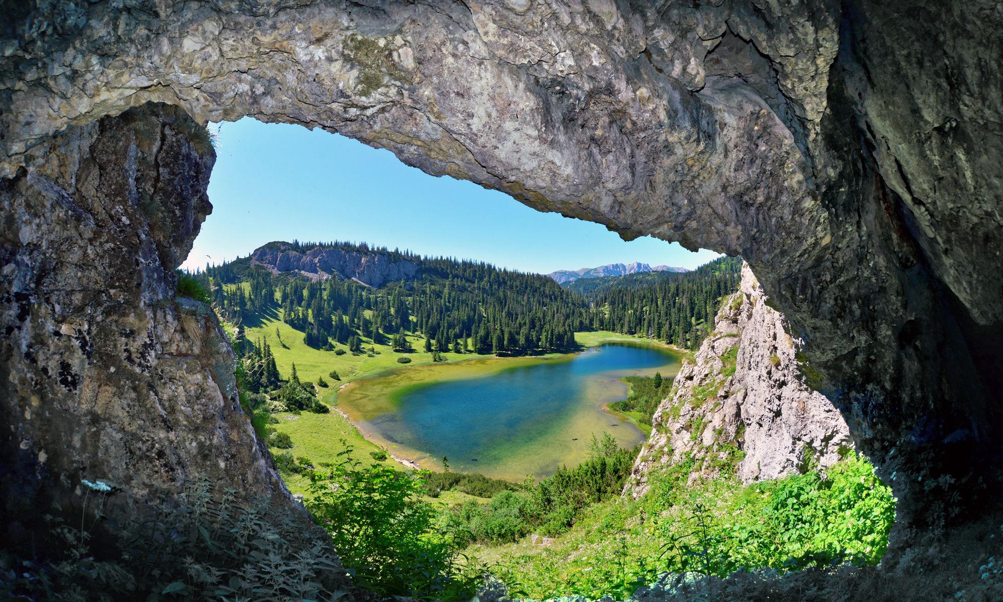
BergZeitReise – from glacier to wine in high Styria
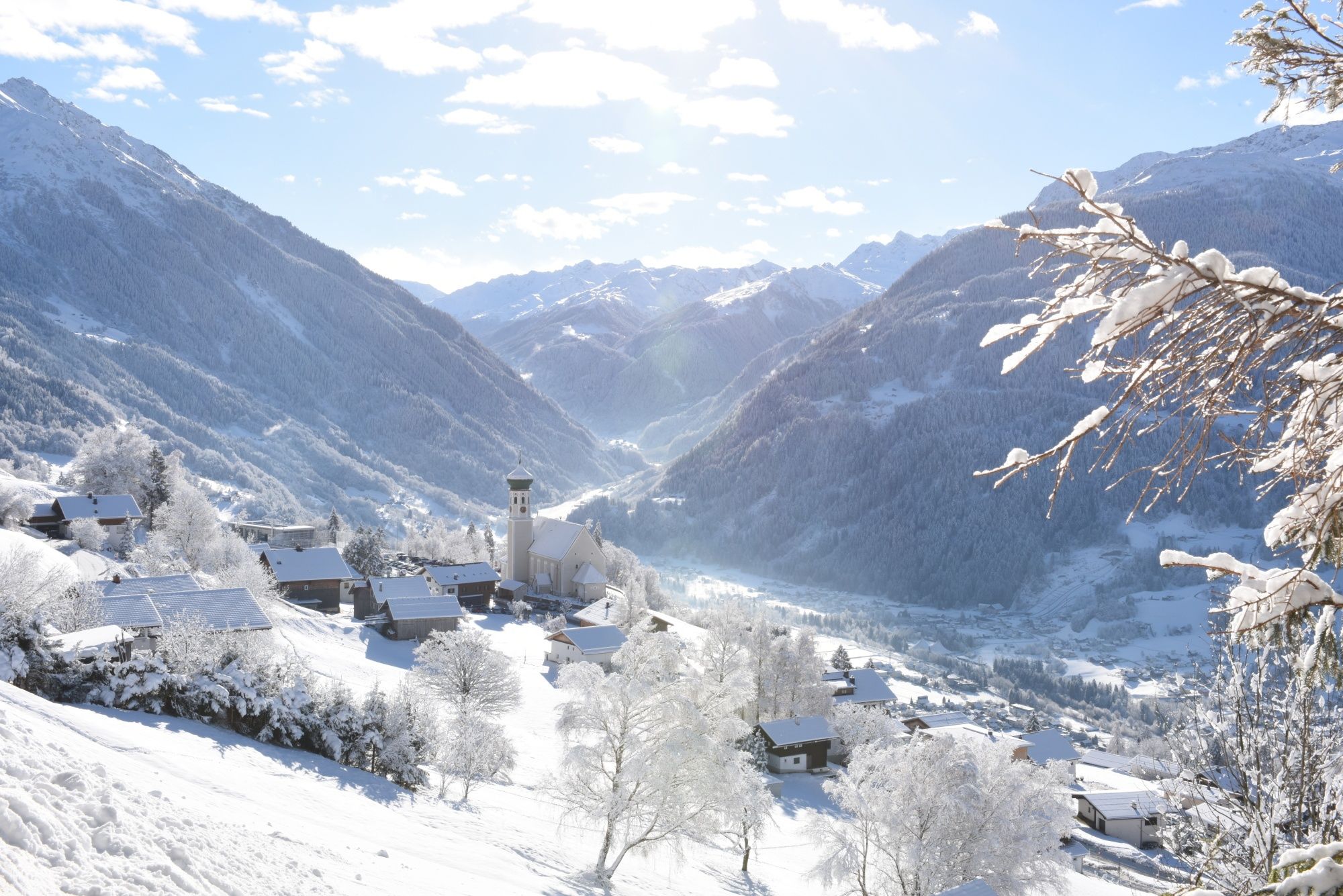
Tobogganing, ice bathing and hiking – winter away from the slopes

Discover Styria in Austria on foot – ‘From Glacier to Wine’ North Route
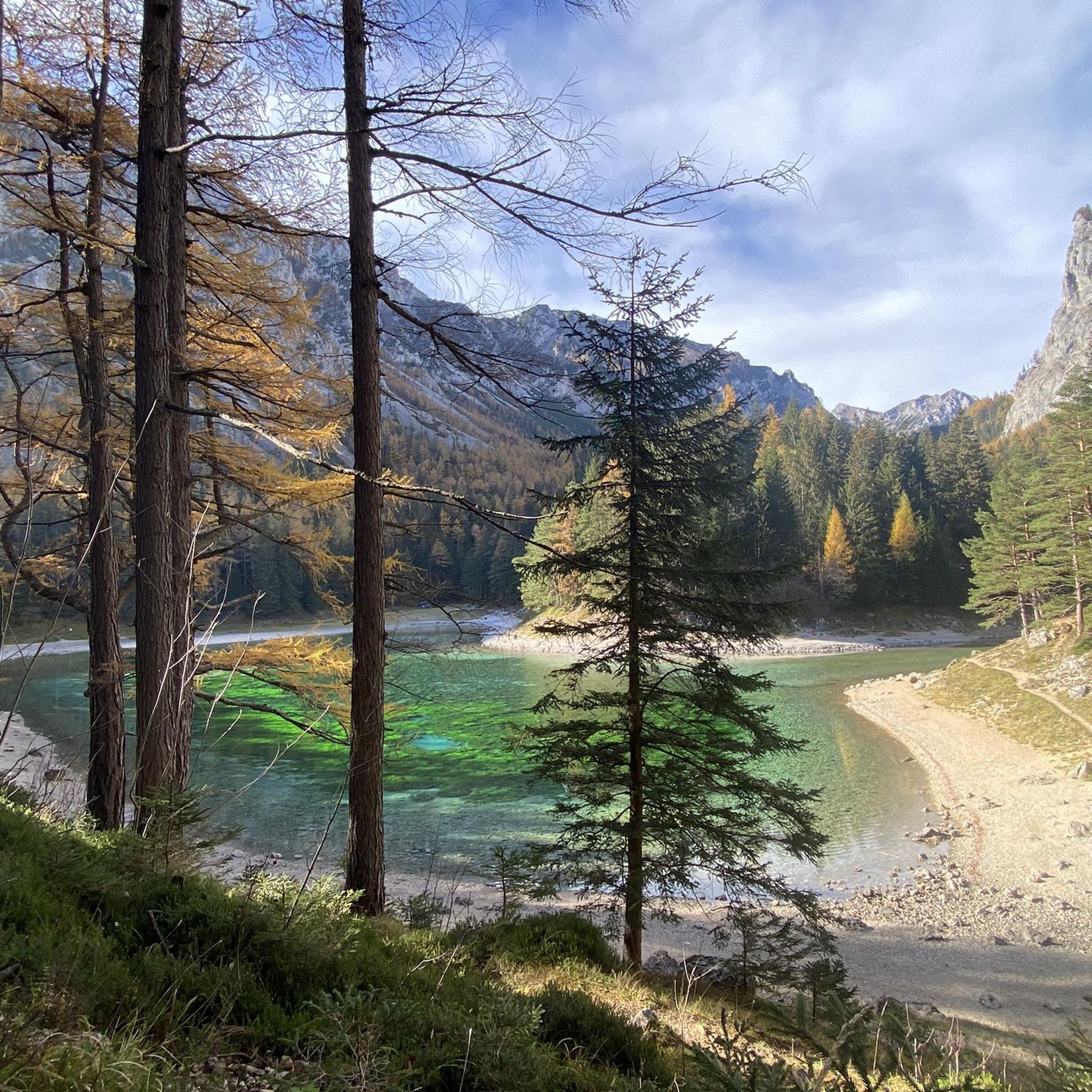
Hiking around Tragöß-Sankt Katharein
Cycling around Tragöß-Sankt Katharein
Road Cycling Routes around Tragöß-Sankt Katharein
MTB Trails around Tragöß-Sankt Katharein
Other adventures around Tragöß-Sankt Katharein


Tips from the Community

The roast pork with dumplings and coleslaw was a delicious way to refuel after the hike through the snow. Unfortunately, I was too hungry to take a picture. But I managed to get one while enjoying the chocolate-covered marshmallow treat and mulled wine. 😀 Everything was homemade – hearty, good Austrian cuisine in a cozy mountain hut atmosphere – just as you'd want it.
0
0

But please check the opening hours and the Kaspressknödel 😋
0
0

<a href="Boomerang Casino">Boomerang Casino</a> [Boomerang Casino](https://boomerang-casino-online.net) [url=https://boomerang-casino-online.net]Boomerang Casino[/url]
0
0

"The Meßnerin is a 1835 m above sea level mountain in the Hochschwab region in Styria. With its height of 1835 m above sea level, it forms, together with the Pribitz (1579 m above sea level) to the west, the northern end of the Laming valley above Tragöß." https://de.wikipedia.org/wiki/Me%C3%9Fnerin
0
0

Almost completed renovation with nice young host
0
0

Simply beautiful, somewhat challenging hike, about 2 hours and a visit to the Pribitzalm is always worthwhile for a TREAPAZA LG. Manfred
0
0
Frequently Asked Questions
How many mountaineering routes are available in Tragöß-Sankt Katharein?
There are over 10 dedicated mountaineering routes around Tragöß-Sankt Katharein, offering a wide range of experiences. Most of these routes are rated as difficult, providing a challenge for experienced mountaineers.
What kind of terrain can I expect on mountaineering routes in Tragöß-Sankt Katharein?
The terrain in Tragöß-Sankt Katharein is characterized by majestic limestone mountains, dense forests, and picturesque alpine meadows. You'll encounter varied and challenging conditions, with elevations exceeding 2,200 meters, especially within the Hochschwab massif.
Are there mountaineering routes suitable for beginners in Tragöß-Sankt Katharein?
While most of the mountaineering routes in Tragöß-Sankt Katharein are rated as difficult, there are a few options that are considered moderate or even easy, making them more accessible for those new to mountaineering. These routes still offer stunning views and a taste of the alpine environment without the extreme challenges.
What natural features and landmarks can I see while mountaineering in the region?
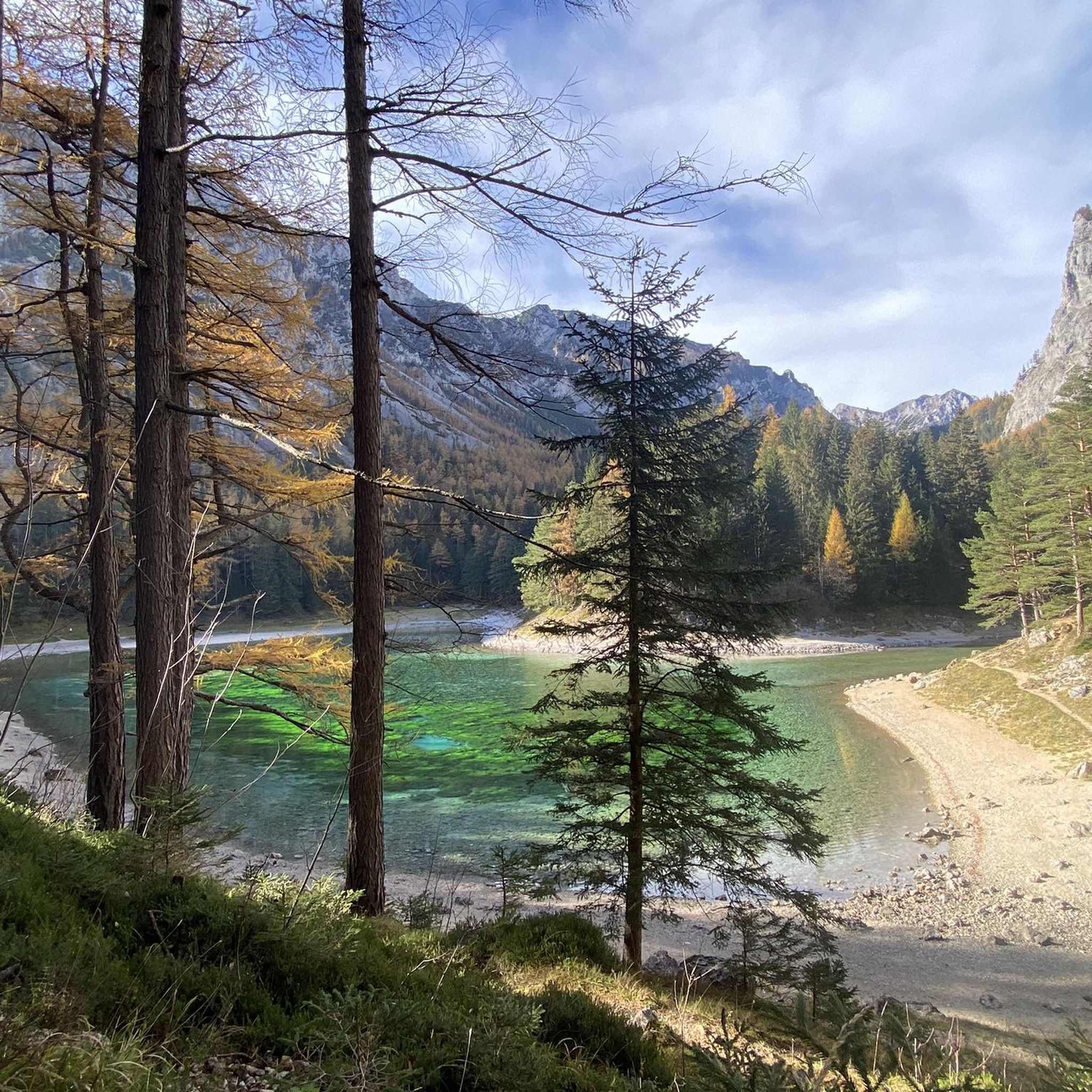
The region boasts several stunning natural features. The renowned Grüner See (Green Lake) is a highlight, famous for its emerald-green waters. You can also explore the Hochschwab Massif itself, with peaks like the Hochschwab Summit. Other notable natural monuments include the Eisenerzer Reichenstein summit and the Mugel Summit.
Are there any notable lakes to explore near the mountaineering routes?
Absolutely. The most famous is the Grüner See, known for its unique seasonal water levels and vibrant color. Additionally, the nearby Leopoldsteiner See offers another idyllic setting, and you might encounter smaller bodies of water like Kreuzteich and Sackwiesensee during your explorations.
What do other mountaineers enjoy the most about mountaineering in Tragöß-Sankt Katharein?
The area is highly rated by the komoot community, with an average score of 4.7 stars from over 60 reviews. Mountaineers often praise the diverse landscapes, from challenging limestone peaks to serene alpine meadows, and the extensive network of well-maintained trails that cater to various skill levels.
Are there any circular mountaineering routes in Tragöß-Sankt Katharein?
Yes, many of the mountaineering routes in the region are designed as loops, allowing you to start and finish at the same point. For example, the Pribitz (1579 m) – Sonnschien Hut loop from Jassing is a popular choice, offering a challenging circular journey through the mountains.
What is the best time of year for mountaineering in Tragöß-Sankt Katharein?
The best time for mountaineering in Tragöß-Sankt Katharein is typically from late spring to early autumn (May to October). During this period, the weather is generally more stable, and the trails are free of snow. Early July is particularly special for visiting the Edelweißboden nature reserve, where mountain flowers, including edelweiss, are in bloom.
Are there any historical sites or castles near the mountaineering trails?
Yes, beyond the natural beauty, you can find historical sites. For instance, the Viewing Platform at the Massenburg Castle Ruins offers a glimpse into the past, and other castles like Oberkapfenberg Castle and Leopoldstein Castle are within the broader region.
Is it possible to find parking near the starting points of mountaineering routes?
Yes, many popular mountaineering routes, such as the Hiaslegg Parking Area – Almgasthaus Hiaslegg loop from Hiaslegg, have designated parking areas at their trailheads. It's advisable to check specific route details for parking availability and any potential fees before your trip.
Are there any routes that lead to the Messnerin Peak?
Yes, the Messnerin Peak (1835 m) is a popular destination for mountaineers. A notable route that includes an ascent to this peak is the Windscharte – Meßnerin (1835 m) loop from Tragöß-Sankt Katharein, offering expansive mountain views from the summit.
Can I find routes that include the Sonnschien Hut?
The Sonnschien Hut is a well-known point of interest in the region. You can find routes that incorporate it, such as the Sonnschien Hut loop from Jassing, which leads through varied mountain terrain and is a favorite among local mountaineers.
Most popular routes around Tragöß-Sankt Katharein
Most popular attractions around Tragöß-Sankt Katharein

Get inspired with the komoot mobile app


Explore more
Browse the best Mountain Hikes & Routes in other regions.
