The best mountain hikes around Weißpriach
4.7
(236)
1,885
hikers
55
hikes
Mountaineering routes around Weißpriach navigate an alpine landscape characterized by high peaks, glacial lakes, and forested valleys. The region offers varied terrain, from challenging ascents to moderate trails through scenic mountain environments. These routes provide access to elevated viewpoints and remote alpine huts.
Best mountaineering routes around Weißpriach
- The most popular mountaineering route is Ursprungalm – Giglachsee Hut loop from Checkpoint Stoneman Tauristica, a difficult 6.8 miles (10.9 km) trail that takes 5 hours 44 minutes to complete. This…
Last updated: June 26, 2026
4.9
(10)
79
hikers
12.6km
06:31
1,010m
1,010m
Hard mountaineering route. Very good fitness required. Sure-footedness, sturdy shoes and alpine experience required.
5.0
(4)
55
hikers
11.1km
06:11
900m
900m
Hard mountaineering route. Very good fitness required. Sure-footedness, sturdy shoes and alpine experience required.

Sign up for free
4.3
(3)
33
hikers
8.47km
03:10
420m
420m
Moderate mountaineering route. Good fitness required. Mostly accessible paths. Sure-footedness required.
5.0
(3)
40
hikers
13.5km
06:06
900m
900m
Hard mountaineering route. Very good fitness required. Sure-footedness, sturdy shoes and alpine experience required.
5.0
(1)
13
hikers
15.5km
07:18
1,090m
1,090m
Hard mountaineering route. Very good fitness required. Mostly accessible paths. Sure-footedness required.
Get access to more routes and recommendations from other explorers.
Sign up for free
Already have an account?
Our route recommendations are based on thousands of hikes, rides, and runs completed by other people on komoot.
Start today with a free account
Your next adventure awaits.
Login or Signup
Popular around Weißpriach
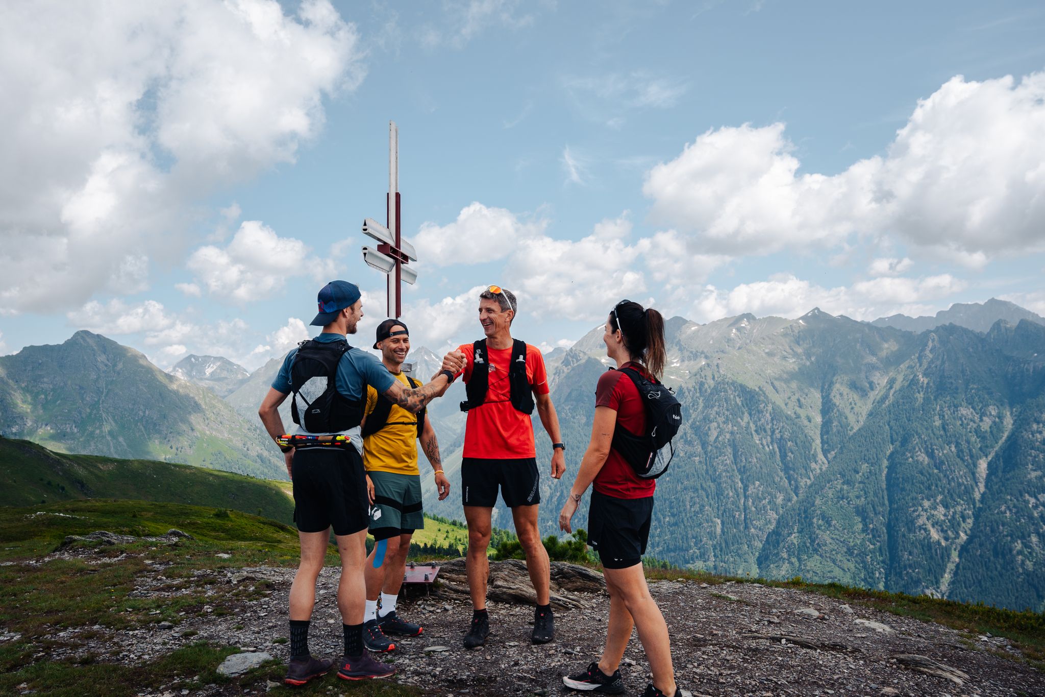
Lungauer Tauern Crown - Hike & Trail through the Salzburg Lungau
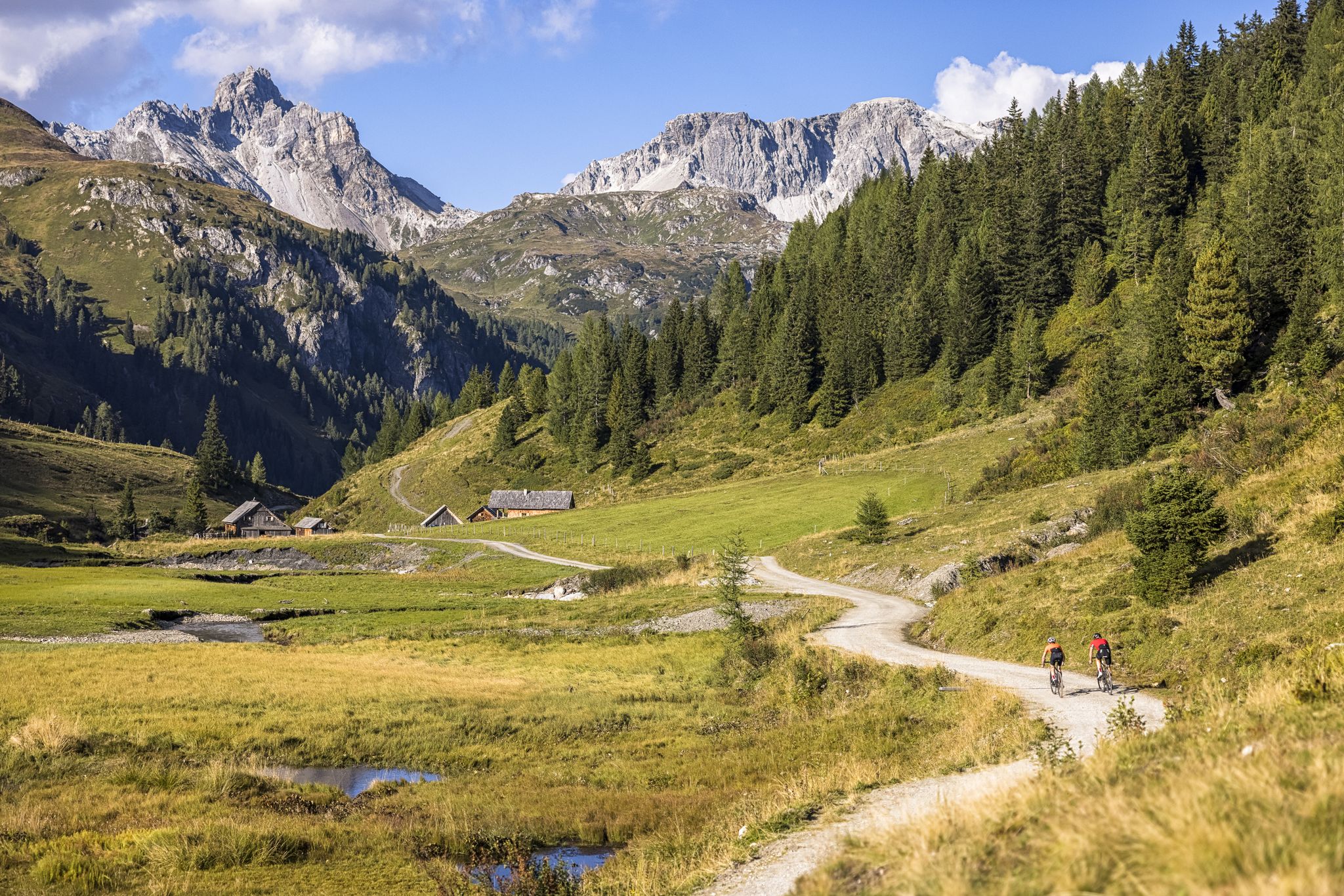
Epic biking – the best MTB routes in Salzburg's Lungau region
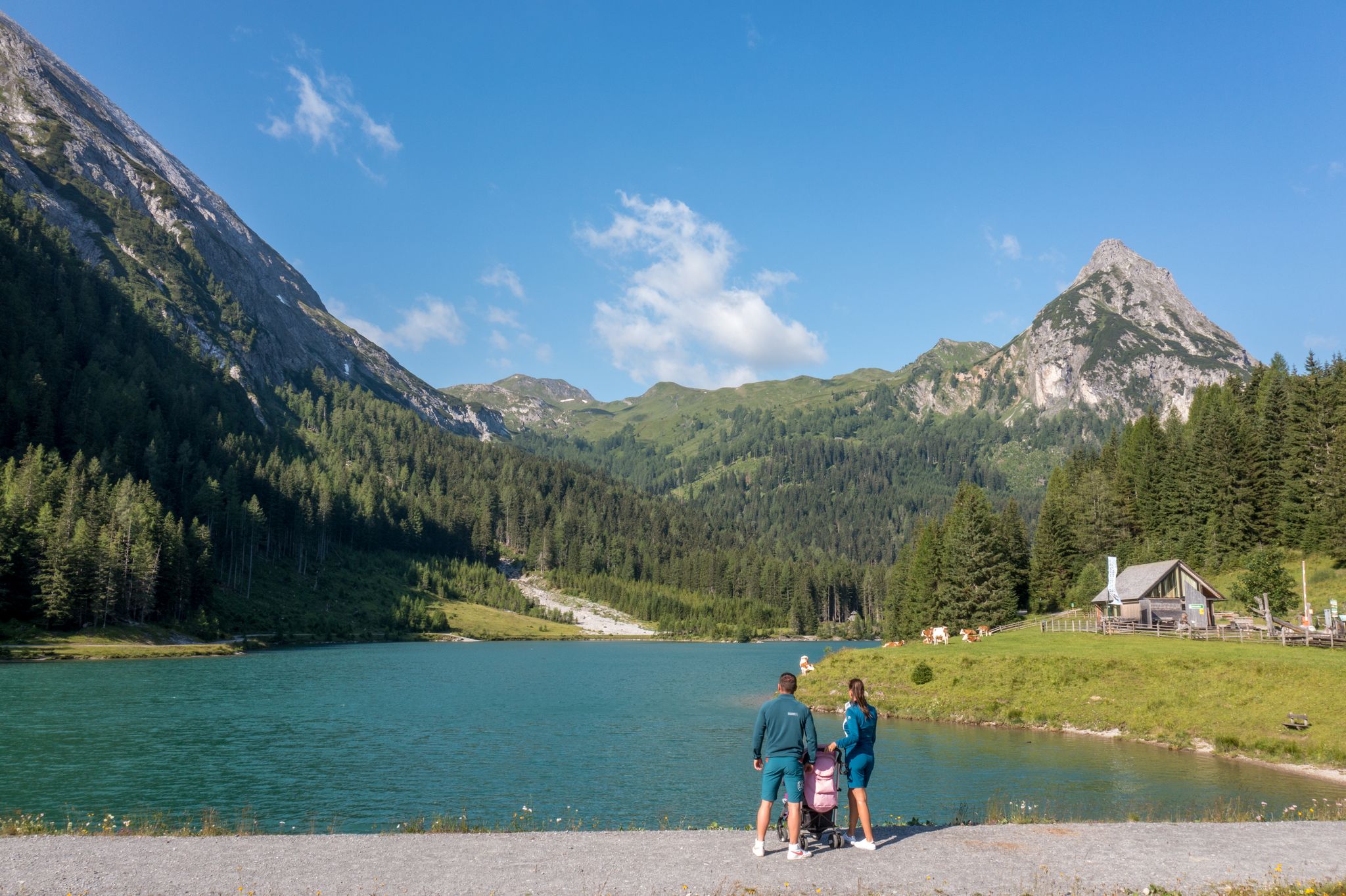
Erlebnisreich wandern - Die 11 schönsten Themenwege im Salzburger Lungau
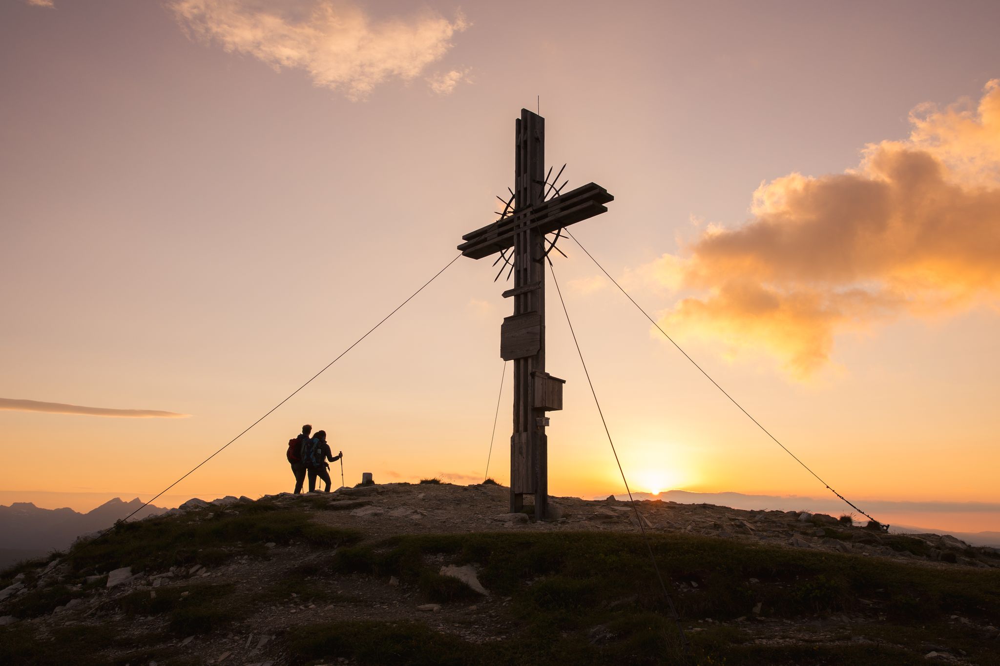
Zwischen Himmel und Erde - Gipfelstürmen im Salzburger Lungau
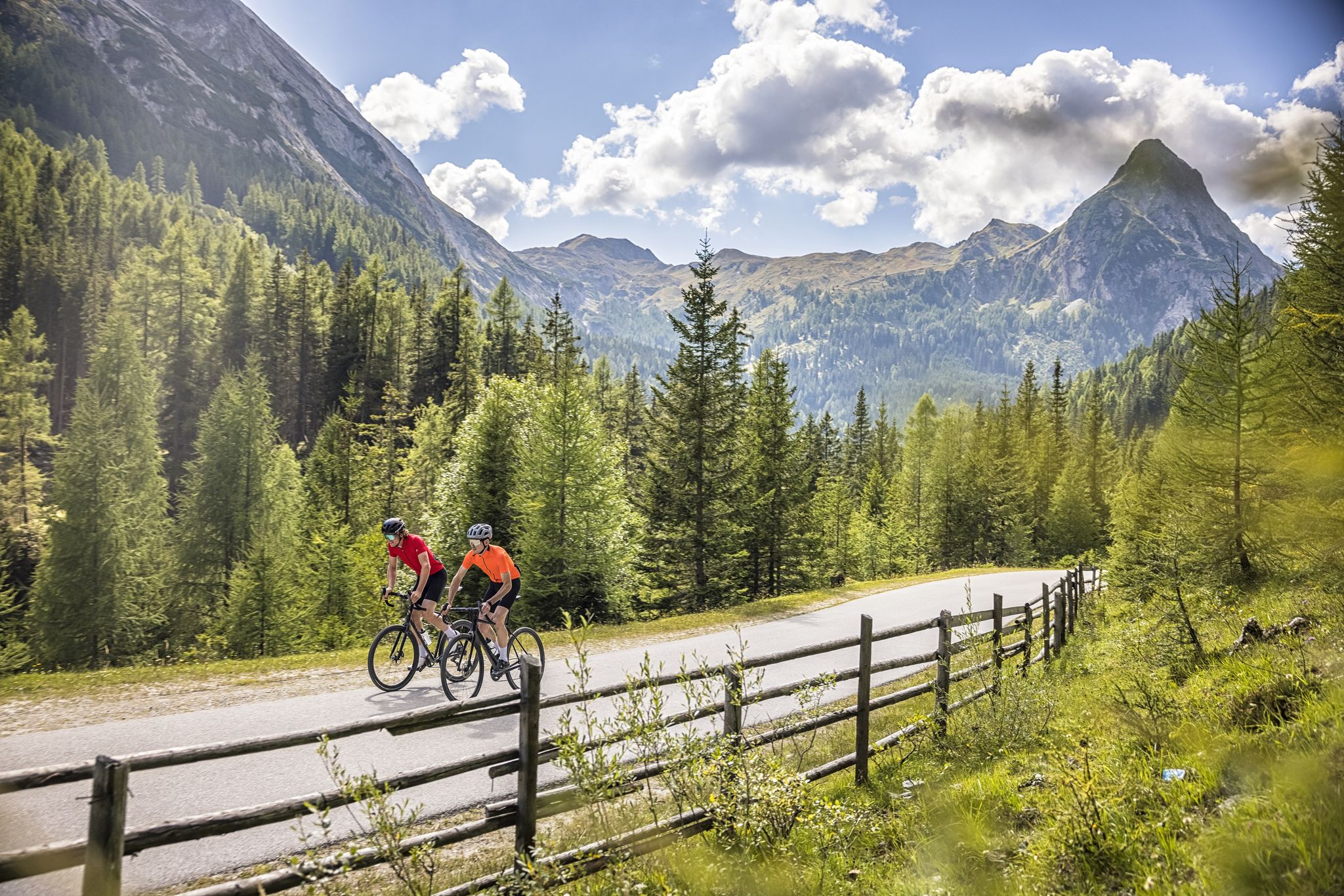
Abenteuer auf zwei Rädern - mit dem Gravelbike durch den Salzburger Lungau
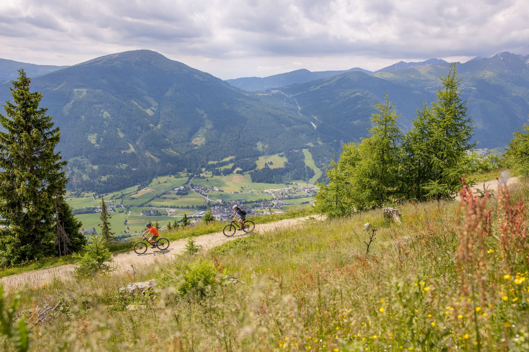
Durch Wälder und Berge - Mit dem Mountainbike durch den Salzburger Lungau
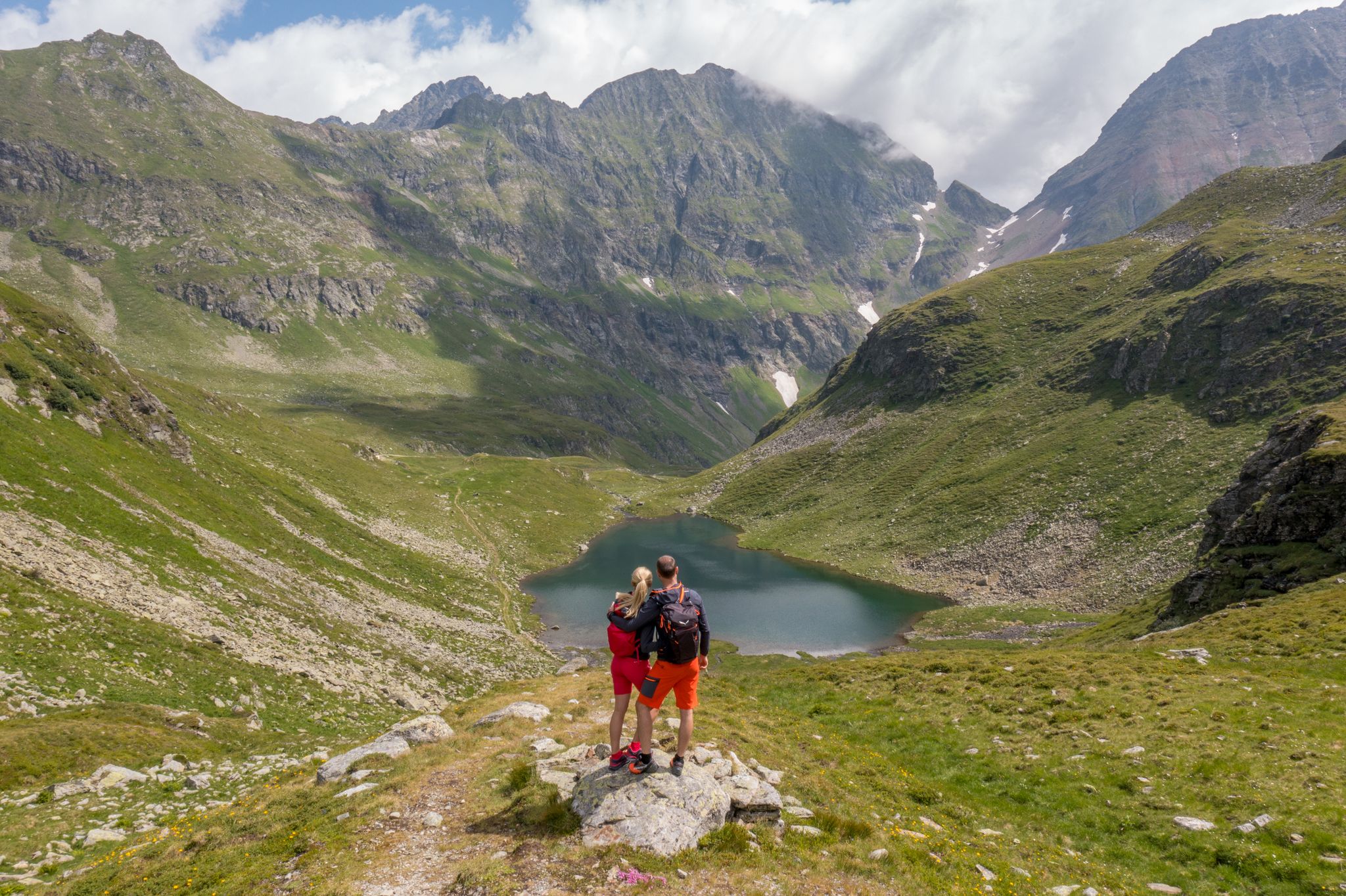
Wanderung ins Blaue - Bergseen sammeln im Salzburger Lungau
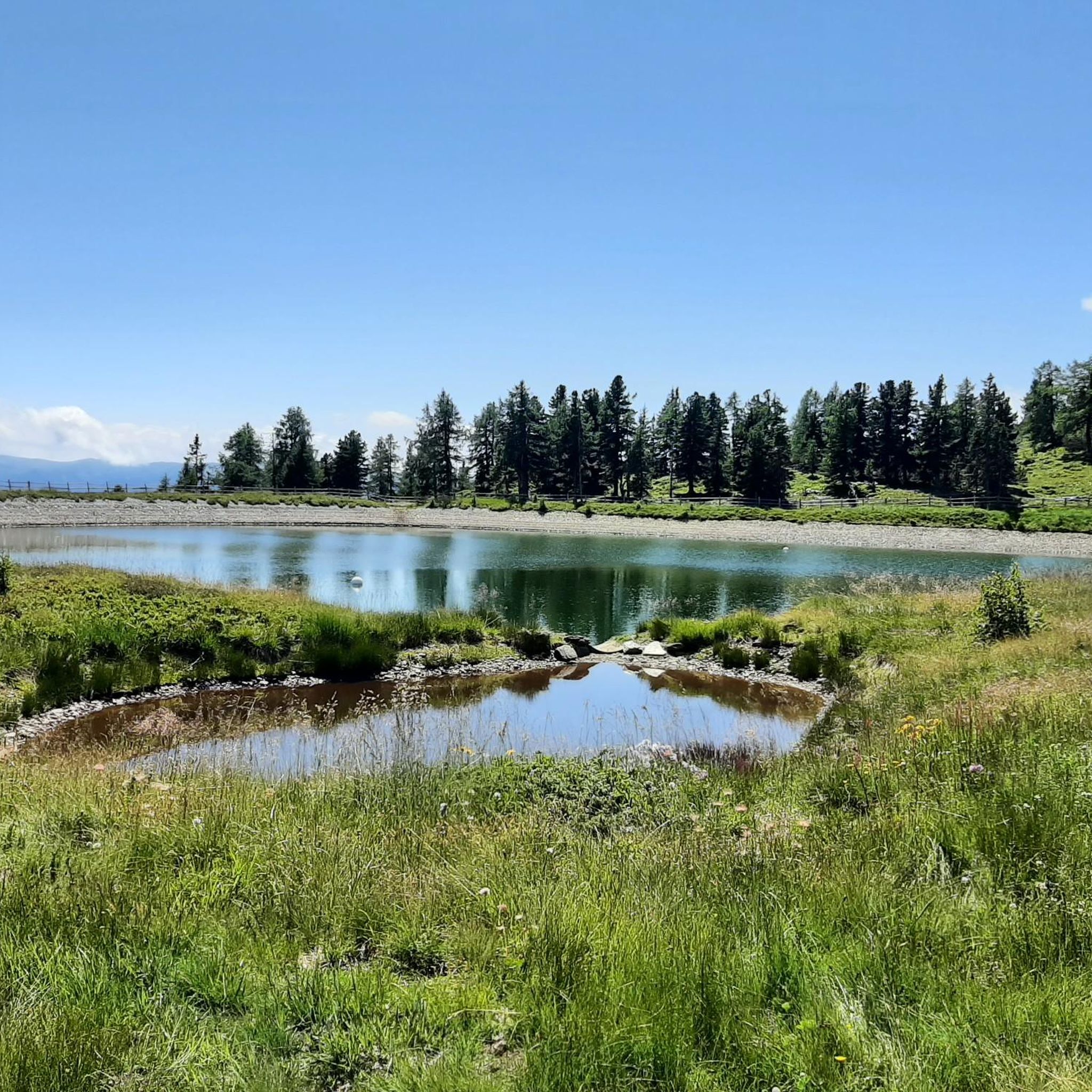
Hiking around Weißpriach
Road Cycling Routes around Weißpriach
MTB Trails around Weißpriach
Other adventures around Weißpriach


Tips from the Community

A great hike with beautiful, untouched nature and fantastic views. But don't underestimate it, and be sure to wear proper footwear!
0
0

On the Gollitschspitze, there is a summit cross that was constructed and carried up by students from the Tamsweg Agricultural College in the fall of 2011. The parts were manufactured in the school workshop and then brought to the summit and assembled there.
0
0

If you’re doing the full route definitely reconsider this section as it is a really steep incline. After doing the other two peaks, exhaustion may catch up while doing this at the end of the hike. Also not recommended during bad weather as chances of slipping greatly increase with loose rocks.
0
0

Beautiful but very crowded. The last hiking bus leaves at 5 p.m., and you'll have the lakes almost to yourself.
1
0

There is also a mountain bike path from Oberhüttensee to Giglachseen via the Ahkarscharte
0
0

Beautiful mountain hut on the shore of the Giglachsee. Especially the location makes this mountain hut a real recommendation! The food at the hut itself as well as the sleeping places leave something to be desired.
0
0
A wonderful place to be, highly recommended.
0
0

...a beautiful and challenging tour with a great view 🥾👀
3
0
Frequently Asked Questions
How many mountaineering routes are available around Weißpriach?
There are over 50 mountaineering routes around Weißpriach, offering a wide range of options for various skill levels. The majority of these are considered difficult, with a good selection of moderate trails also available.
Are there any easy or moderate mountaineering routes suitable for beginners or families?
While many routes are challenging, there are 14 moderate mountaineering routes around Weißpriach. A good option for a moderate experience is the Giglachsee Hut – Lake Giglach loop from Ursprungalm, which leads through alpine meadows and past mountain lakes, taking about 3 hours 14 minutes to complete.
What is the best time of year for mountaineering in Weißpriach?
The best time for mountaineering in Weißpriach is typically from late spring to early autumn (June to September) when the weather is most stable, and trails are clear of snow. Always check local weather forecasts and trail conditions before heading out, as alpine weather can change rapidly.
Are there any circular mountaineering routes in Weißpriach?
Yes, Weißpriach offers several excellent circular routes. A popular choice is the Ursprungalm – Giglachsee Hut loop from Checkpoint Stoneman Tauristica, a difficult 6.8-mile trail that provides expansive views and traverses high alpine terrain. Another option is the Giglachsee Hut – Ursprungalm loop from Ursprungalm, which also offers a challenging circular experience.
What kind of natural attractions can I expect to see along the mountaineering routes?
The routes often lead past stunning natural features. You might encounter beautiful alpine lakes like Mirror Lake, or impressive waterfalls such as the Great Riesach Falls and Johannes Waterfall. Some trails also offer views into dramatic gorges like the Höll Gorge.
Are there any mountain huts or places to rest along the trails?
Yes, some routes incorporate mountain huts. For example, the Giglachsee Hut – Lake Giglach loop from Ursprungalm passes by the Ignaz-Mattis Hut at Giglachsee, which can serve as a great spot for a break or overnight stay.
What do other mountaineers say about the routes in Weißpriach?
The mountaineering routes in Weißpriach are highly regarded by the komoot community, with an average rating of 4.7 stars from over 200 reviews. Users frequently praise the stunning alpine scenery, the well-maintained trails, and the rewarding views from the higher elevations.
Are there any particularly scenic viewpoints on the mountaineering routes?
Many routes offer breathtaking panoramic views. The View from Großer Gurpitscheck – Twenger Alm Lake loop from Radstädter Tauern is specifically highlighted for its scenic vistas, providing expansive outlooks over the surrounding alpine landscape.
Is parking available at the trailheads for mountaineering routes?
Parking is generally available at common starting points for mountaineering routes in the Weißpriach area, such as Ursprungalm or near Radstädter Tauern. However, during peak season, these spots can fill up quickly, so it's advisable to arrive early.
What gear is recommended for mountaineering in Weißpriach?
Given the alpine terrain, it's essential to be well-prepared. Recommended gear includes sturdy hiking boots, weather-appropriate clothing (layers are key), a backpack with water and snacks, a map or GPS device (like komoot), sun protection, and a first-aid kit. For more challenging routes, trekking poles can be very helpful.
Are there any less-known or 'hidden gem' mountaineering trails in Weißpriach?
While specific 'hidden gems' are often discovered through local knowledge, exploring some of the less-trafficked moderate routes, or those that venture deeper into the valleys away from the most popular peaks, can offer a more secluded experience. The region's 50+ routes mean there's always something new to discover beyond the main highlights.
Can I find routes that offer views of specific peaks or landmarks?
Yes, some routes are named for the prominent features they offer views of or lead to. For instance, the View of Gollitschspitze – Gollitschspitze (2,247 m) loop from Radstädter Tauern provides direct views of the Gollitschspitze peak, offering a clear objective for your mountaineering adventure.
Most popular routes around Weißpriach
Most popular attractions around Weißpriach

Get inspired with the komoot mobile app


Explore more
Browse the best Mountain Hikes & Routes in other regions.
