Easy hikes and walks around Weißpriach
4.5
(11994)
61,857
hikers
49
hikes
Easy hiking trails around Weißpriach are set within the UNESCO Biosphere Reserve Salzburger Lungau, offering a diverse landscape for outdoor activities. The region, situated at 1,099 meters above sea level, features the serene Weißpriachtal Valley with clear streams and vibrant green meadows. The naturally winding Longa River meanders through the valley, contributing to the scenic beauty and providing peaceful spots. Alpine pastures and forests characterize the terrain, with gentle slopes suitable for easy walks.
Best easy hiking trails around Weißpriach
- The most popular easy hiking route is View of the Granier Waterfall – Glücksplatzl Waterfall loop from P2, a 3.3 miles (5.3 km) trail that takes 1 hour 27 minutes to complete. This route features two waterfalls and offers a scenic loop.
- Another top favourite among local hikers is Grangler Hut – Uln Hut and Uln Waterfall loop from Hinterlahn, an easy 2.8 miles (4.6 km) path. This trail leads past mountain huts and a waterfall, providing a varied landscape.
- Local hikers also love the Fanninghöhe Summit – Zechnerriegel Summit Cross loop from Gams Stadl, a 2.2 miles (3.5 km) trail leading through alpine meadows, often completed in about 1 hour 1 minute.
- Hiking around Weißpriach is defined by lush green meadows, clear mountain streams, and abundant alpine pastures. The network offers options for different ability levels, with a focus on accessible paths.
- The routes in Weißpriach are highly rated by the komoot community with an average score of 4.5 stars from over 2500 reviews. More than 11000 hikers have used komoot to explore Weißpriach's varied terrain.
Last updated: June 30, 2026
4.5
(8)
57
hikers
Easy hike. Great for any fitness level. Easily-accessible paths. Suitable for all skill levels.
4.9
(7)
54
hikers
4.58km
01:13
50m
50m
Easy hike. Great for any fitness level. Easily-accessible paths. Suitable for all skill levels.

Sign up for free
4.7
(11)
64
hikers
Easy hike. Great for any fitness level. Easily-accessible paths. Suitable for all skill levels.
5.0
(3)
37
hikers
3.66km
00:58
40m
40m
Easy hike. Great for any fitness level. Easily-accessible paths. Suitable for all skill levels.
4.9
(7)
28
hikers
3.55km
00:57
40m
40m
Easy hike. Great for any fitness level. Easily-accessible paths. Suitable for all skill levels.
Get access to more routes and recommendations from other explorers.
Sign up for free
Already have an account?
Our route recommendations are based on thousands of hikes, rides, and runs completed by other people on komoot.
Start today with a free account
Your next adventure awaits.
Login or Signup
Popular around Weißpriach
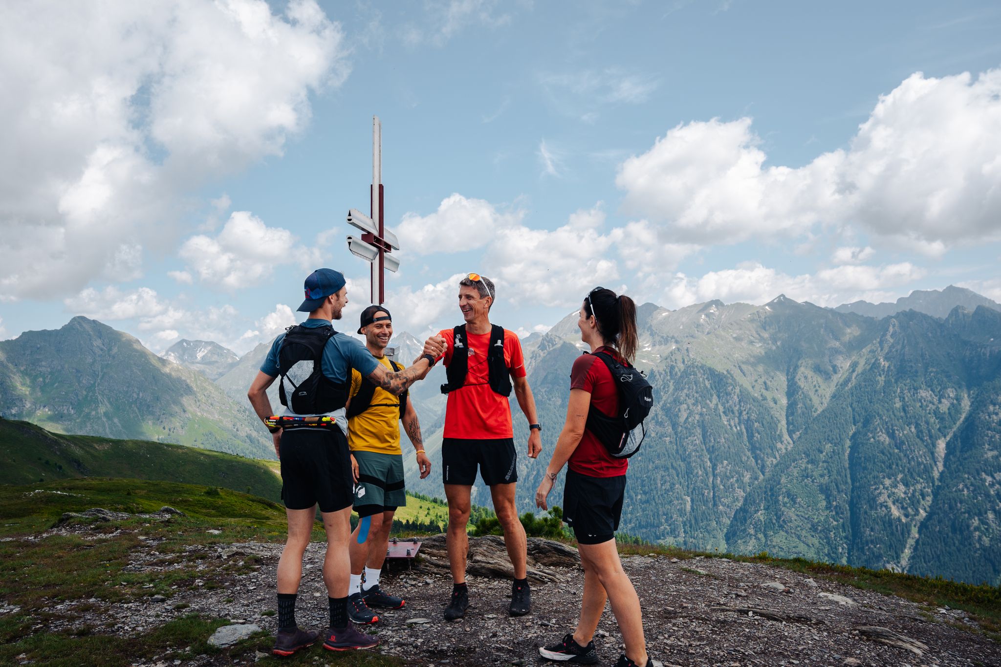
Lungauer Tauern Crown - Hike & Trail through the Salzburg Lungau
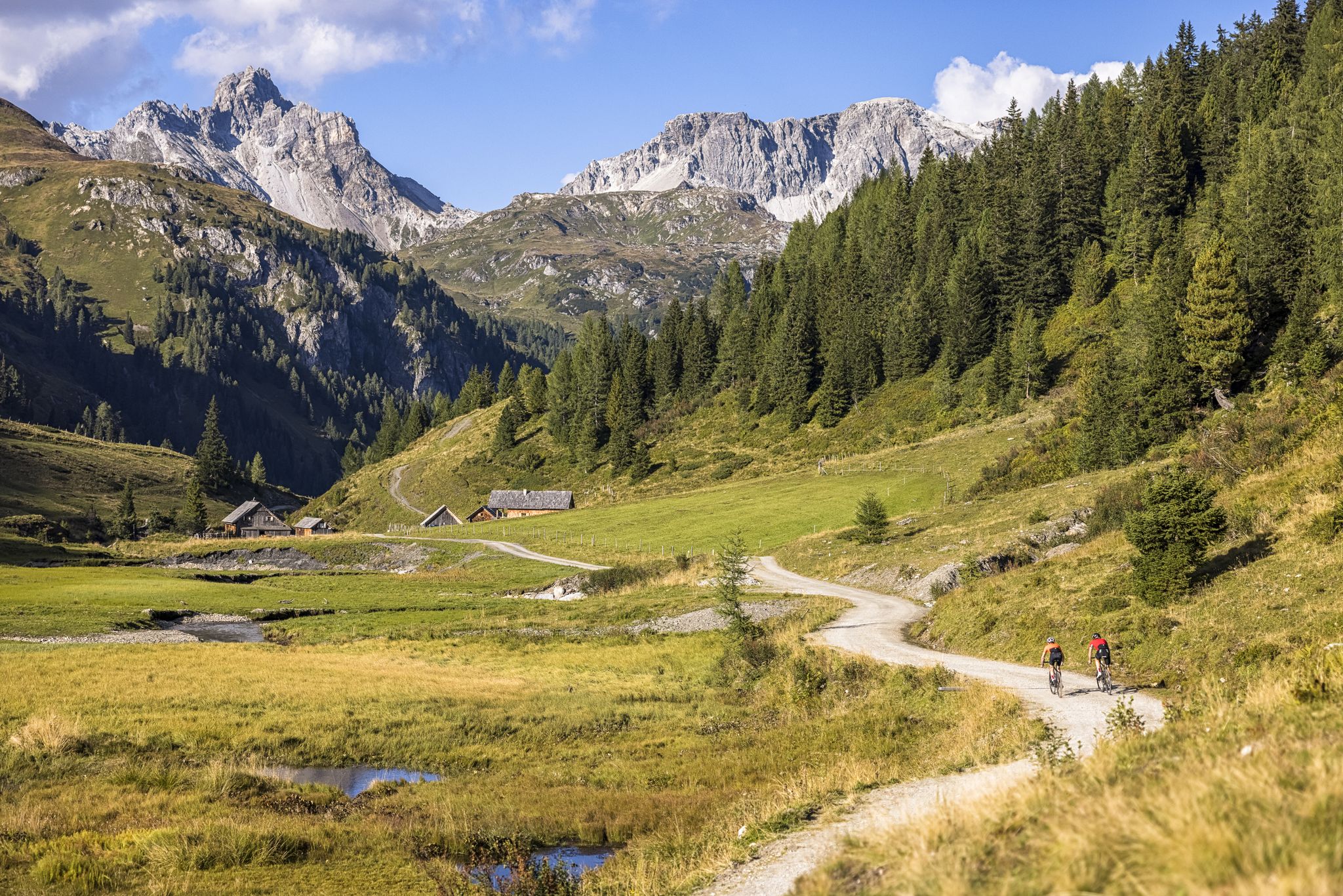
Epic biking – the best MTB routes in Salzburg's Lungau region
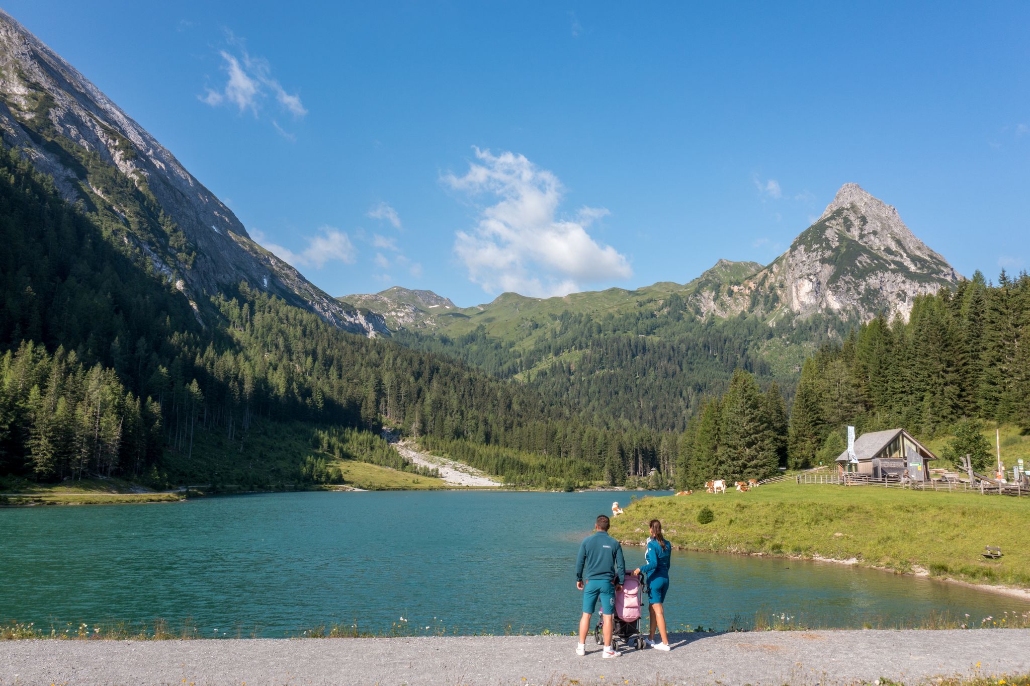
Erlebnisreich wandern - Die 11 schönsten Themenwege im Salzburger Lungau
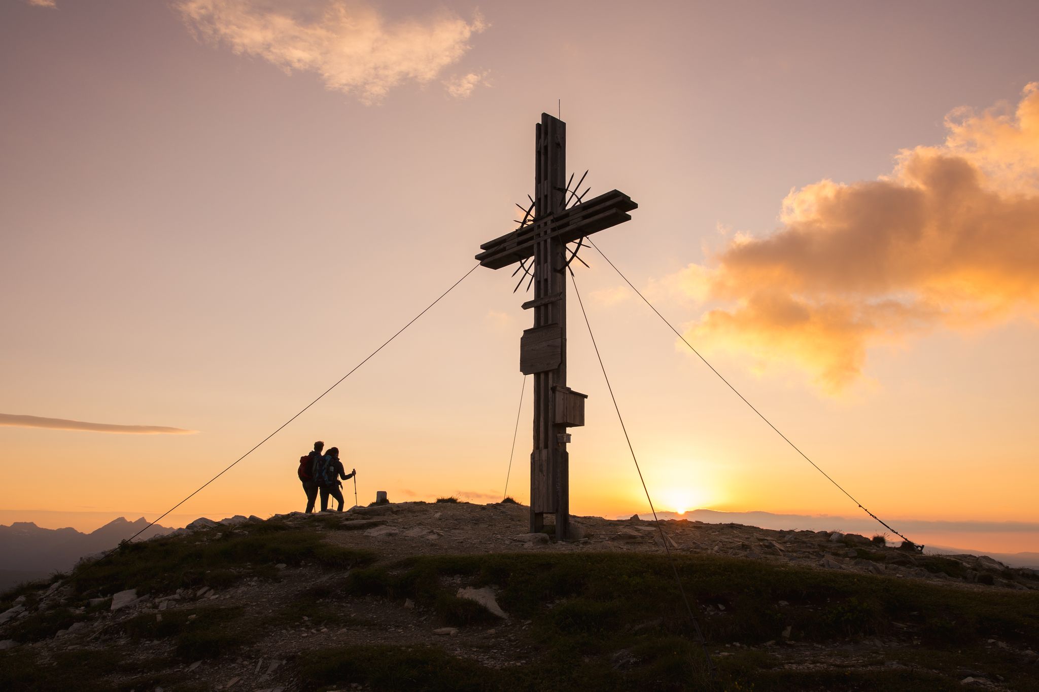
Zwischen Himmel und Erde - Gipfelstürmen im Salzburger Lungau
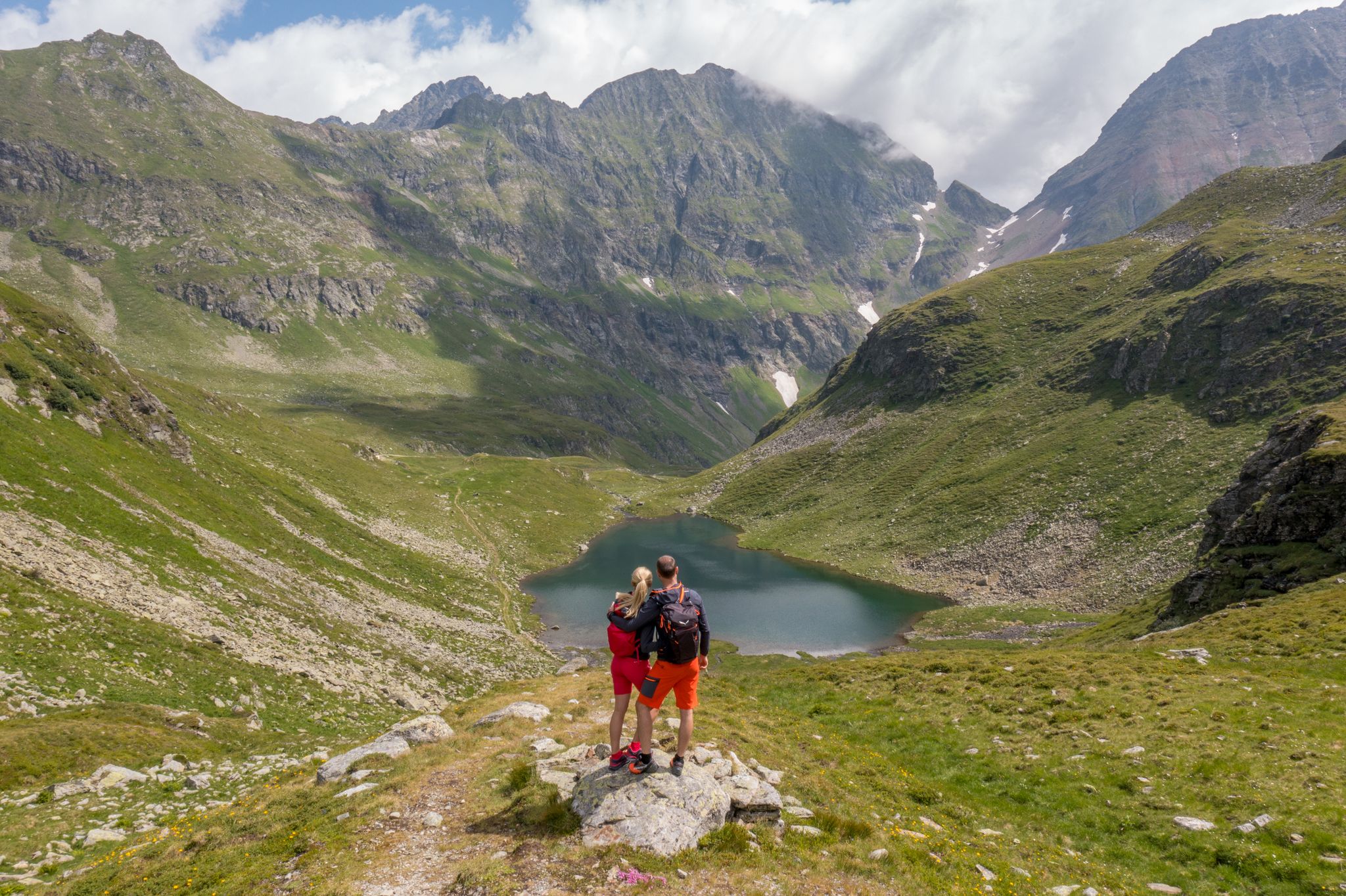
Wanderung ins Blaue - Bergseen sammeln im Salzburger Lungau
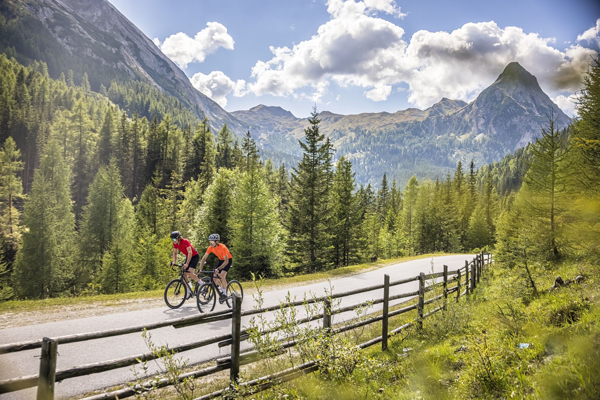
Abenteuer auf zwei Rädern - mit dem Gravelbike durch den Salzburger Lungau
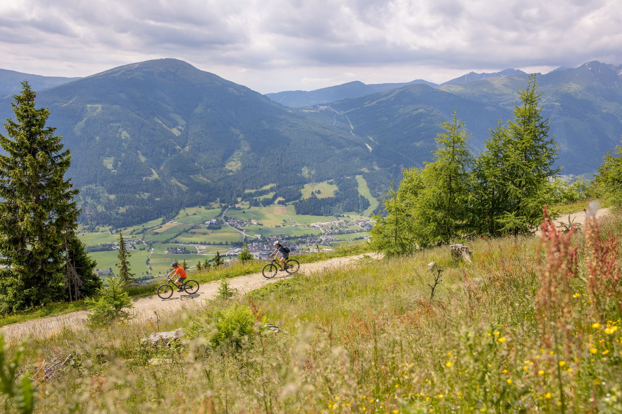
Durch Wälder und Berge - Mit dem Mountainbike durch den Salzburger Lungau
Other adventures around Weißpriach


Tips from the Community

Nice cozy round with a view into the valley towards Tweng
1
0
Take off your skis and struggle up a few meters, then you can sign the summit register.
3
0
The new Fanningberg symbol and the selfie point on the slope
5
0

Beautiful chapel at the end of the valley
0
0

Easy route from the train station.
1
0
A beautiful path from peak to peak.
1
0

A very nice, rustic hut with extremely friendly hosts!
1
0
Frequently Asked Questions
How many easy hiking trails are available around Weißpriach?
Weißpriach offers a wide selection of easy hiking trails, with 19 routes specifically categorized as easy. In total, there are 49 hiking routes in the area, catering to various skill levels within the UNESCO Biosphere Reserve Salzburger Lungau.
Are there any easy hiking trails that feature waterfalls?
Yes, several easy trails in Weißpriach allow you to experience beautiful waterfalls. A popular option is the View of the Granier Waterfall – Glücksplatzl Waterfall loop from P2, which is 3.3 miles (5.3 km) long and features two scenic waterfalls. Another great choice is the Grangler Hut – Uln Hut and Uln Waterfall loop from Hinterlahn, which passes by the Uln Waterfall.
Which easy trails are suitable for families with children?
The easy trails around Weißpriach are generally family-friendly, offering gentle slopes and picturesque scenery. The Longa River, with its naturally winding path through the Weißpriachtal valley, provides ideal spots for peaceful breaks and easy walks. Routes like the Dicktler Hut – Little chapel loop from P2 are short and have minimal elevation gain, making them perfect for families.
Can I bring my dog on the easy hiking trails in Weißpriach?
Many easy hiking trails in Weißpriach are dog-friendly, allowing you to enjoy the beautiful alpine scenery with your canine companion. It's always recommended to keep dogs on a leash, especially in areas with livestock or wildlife, and to carry waste bags. The serene Weißpriachtal Valley and paths along the Longa River are excellent choices for walks with your dog.
Are there any circular easy hiking routes?
Yes, Weißpriach offers several enjoyable circular routes that are perfect for easy hikes. The View of the Granier Waterfall – Glücksplatzl Waterfall loop from P2 is a popular 3.3-mile loop. Another option is the Fanninghöhe Summit – Zechnerriegel Summit Cross loop from Gams Stadl, which takes you through alpine meadows.
What kind of natural features can I expect to see on easy hikes?
Easy hikes in Weißpriach showcase the stunning natural beauty of the UNESCO Biosphere Reserve Salzburger Lungau. You'll encounter lush green meadows, fragrant forests, and the clear, naturally winding Longa River. The Weißpriachtal Valley offers serene environments, and you might spot small waterfalls along the way. The region is also framed by impressive mountain peaks, providing picturesque backdrops.
Are there mountain huts or places to eat along the easy trails?
Yes, you can find serviced mountain huts that offer opportunities for rest and regional delicacies. The Grangler Hut – Uln Hut and Uln Waterfall loop from Hinterlahn passes by mountain huts, providing convenient stops. These huts are perfect for enjoying a break amidst the mountains.
What is the best time of year for easy hikes in Weißpriach?
The best time for easy hikes in Weißpriach is typically during the warmer months, from late spring to early autumn. During this period, the weather is pleasant, the meadows are vibrant green, and the mountain paths are clear of snow, offering ideal conditions for exploring the region's natural beauty.
Are there any easy trails with minimal elevation gain?
Absolutely. Many easy trails in Weißpriach are designed with minimal elevation gain, making them accessible for all. For instance, the Dicktler Hut – Little chapel loop from P2 has an elevation gain of only about 37 meters, offering a very gentle walking experience.
What do other hikers enjoy most about the trails in Weißpriach?
The trails in Weißpriach are highly rated by the komoot community, with an average score of 4.5 stars from over 2500 reviews. Hikers often praise the region's serene environment, the clear mountain streams, and the well-maintained paths that lead through lush green meadows and past charming mountain huts. The accessibility of the easy routes and the stunning natural landscapes are frequently highlighted.
Is there parking available near the easy hiking trailheads?
Yes, parking is generally available near the trailheads for easy hikes in Weißpriach. For example, the View of the Granier Waterfall – Glücksplatzl Waterfall loop from P2 starts from a designated parking area (P2). The Wirpitschsee Trail also starts from the last parking lot in Weißpriachtal, though it's on a toll road.
Are there any easy trails that lead to mountain lakes?
While many mountain lakes in the region are part of more challenging routes, the mystical Wirpitschsee is accessible via a path that starts from the last parking lot in Weißpriachtal. This route, though not explicitly listed as 'easy' in the guide data, offers a beautiful walk towards the lake, passing a small waterfall and mountain huts.
Most popular routes around Weißpriach
Most popular attractions around Weißpriach

Get inspired with the komoot mobile app


Explore more
Browse the best Hikes in other regions.
