The best walks and hikes around Clyst St. Mary
4.6
(748)
9,486
hikers
482
hikes
Hiking around Clyst St. Mary offers access to diverse landscapes within the Clyst Valley Regional Park. The area features gently rolling terrain, river valleys, and a mix of agricultural land and woodlands. The River Clyst meanders through flood plains and water-meadows, contributing to the region's natural character. Elevated lands like the Pebblebed Heaths and Ashclyst Forest provide a scenic backdrop.
Best hiking trails around Clyst St. Mary
- The most popular hiking route is RSPB Bowling Green Marsh – Topsham Dock loop from Topsham, a 4.3 miles (6.9 km) trail that takes 1 hour 45 minutes to complete. This easy route offers opportunities for birdwatching near the Exe Estuary.
- Another top favourite among local hikers is Exe Estuary Trail – Exe Estuary Viewpoint loop from Topsham, a moderate 10.8 miles (17.4 km) path. This route provides views along the River Exe, connecting to a wider network of trails.
- Local hikers also love the Exeter Ship Canal – Exeter Ship Canal loop from Topsham, a 5.2 miles (8.4 km) trail leading through flat terrain alongside the canal, often completed in about 2 hours 10 minutes.
- Hiking around Clyst St. Mary is defined by river valleys, water-meadows, and ancient woodlands. The network offers options for different ability levels, from easy strolls to moderate excursions.
- The routes in Clyst St. Mary are highly rated by the komoot community with an average score of 4.6 stars from over 700 reviews. More than 9000 hikers have used komoot to explore Clyst St. Mary's varied terrain.
Last updated: June 26, 2026
4.7
(15)
131
hikers
17.4km
04:29
80m
80m
Moderate hike. Good fitness required. Easily-accessible paths. Suitable for all skill levels.
5.0
(2)
36
hikers
8.41km
02:08
10m
10m
Moderate hike. Good fitness required. Easily-accessible paths. Suitable for all skill levels.

Sign up for free
5.0
(1)
58
hikers
9.04km
02:20
50m
50m
Moderate hike. Good fitness required. Easily-accessible paths. Suitable for all skill levels.
34
hikers
5.36km
01:23
30m
30m
Easy hike. Great for any fitness level. Easily-accessible paths. Suitable for all skill levels.
5.0
(3)
13
hikers
14.9km
03:54
120m
120m
Moderate hike. Good fitness required. Easily-accessible paths. Suitable for all skill levels.
Get access to more routes and recommendations from other explorers.
Sign up for free
Already have an account?
Our route recommendations are based on thousands of hikes, rides, and runs completed by other people on komoot.
Start today with a free account
Your next adventure awaits.
Login or Signup
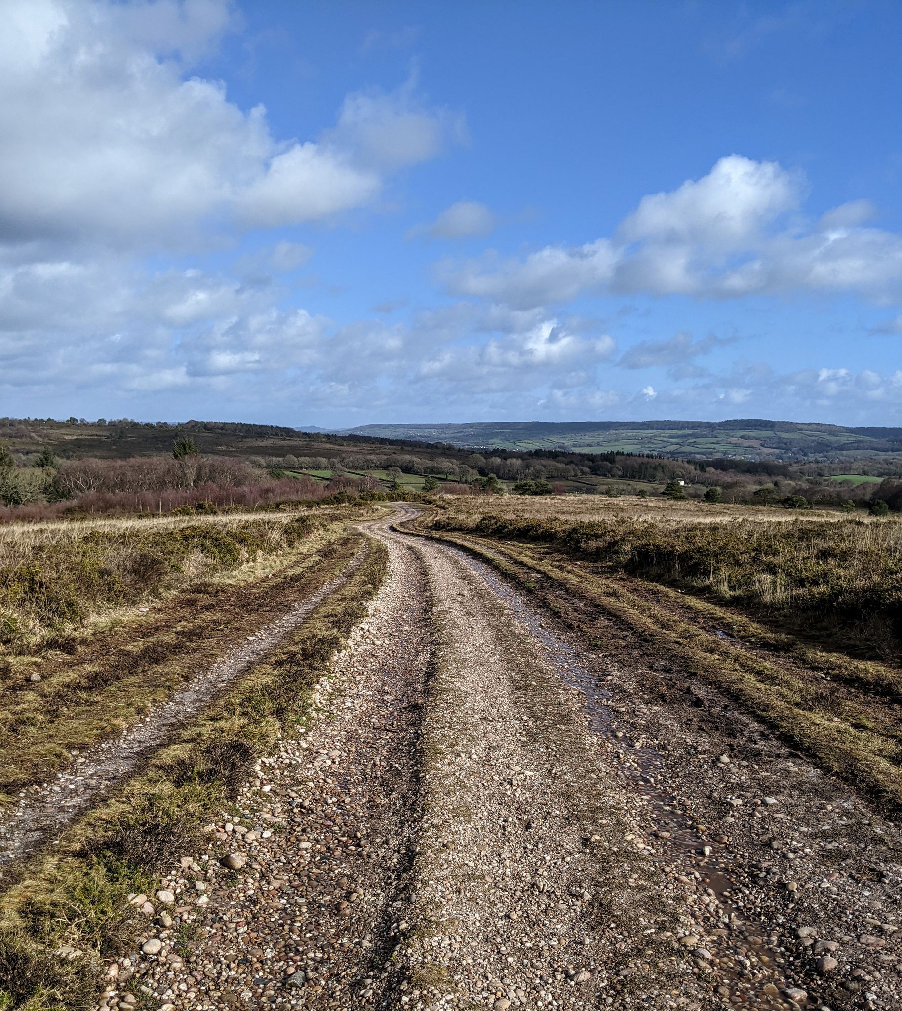

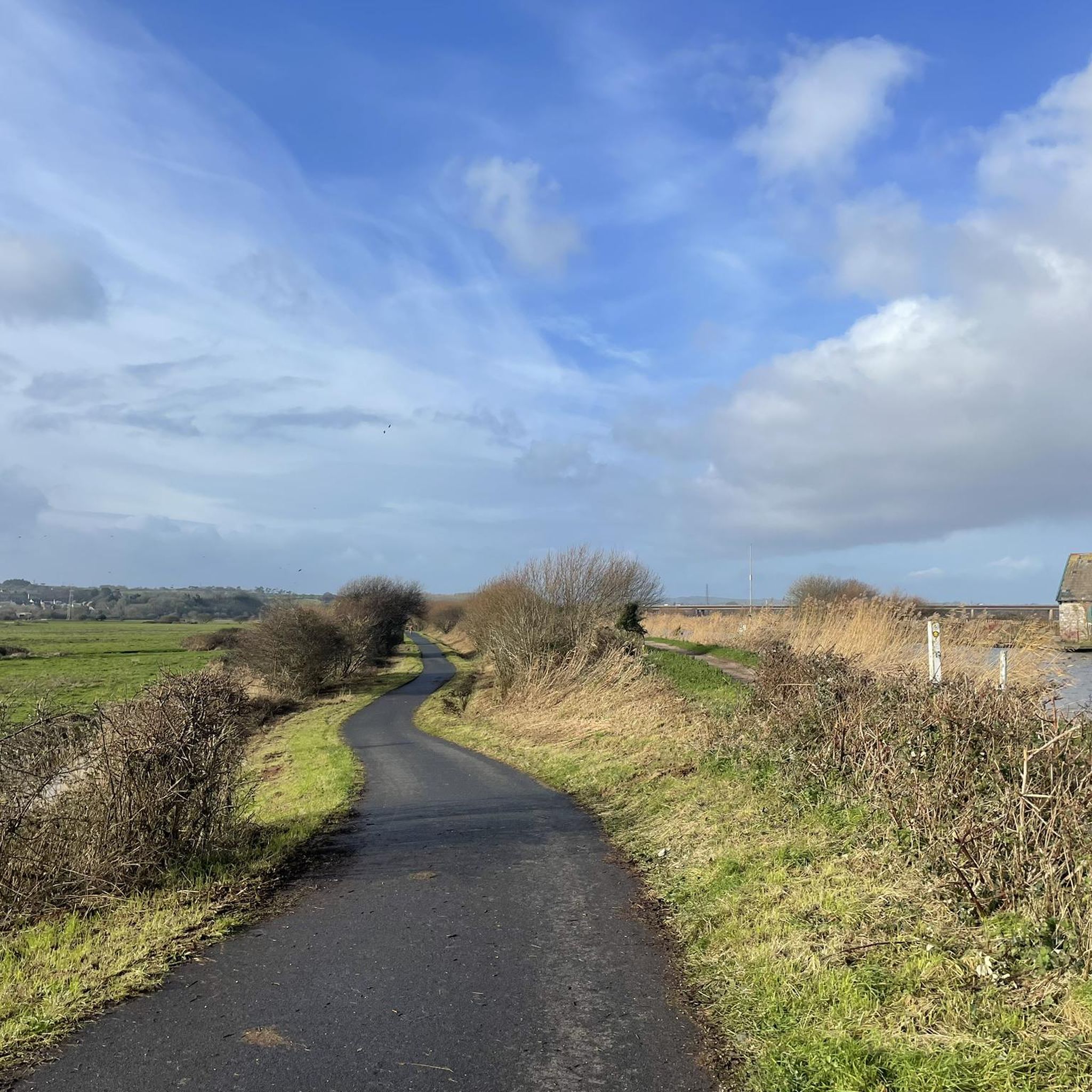
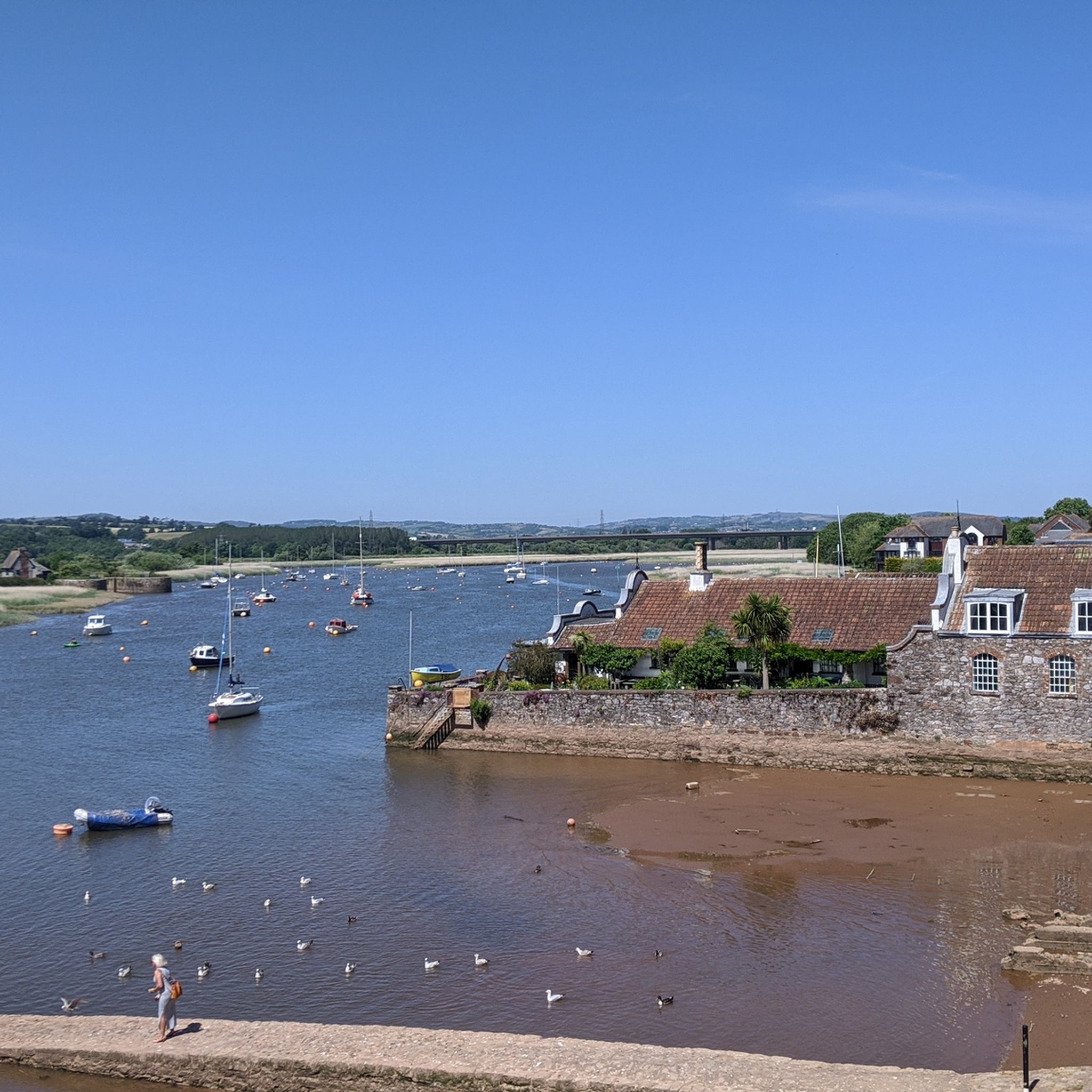
Other adventures around Clyst St. Mary

Tips from the Community

Look out for an entrance onto a footpath on your right, which follows beside the railway tracks on your left, and the exe estuary on your right. The path is too narrow for cycling but great for walking and running.
1
0


This is the Railway stop for the barracks opposite and is along the cycle way from Exeter to Exmouth, beautiful surfaces to ride on here so any bike can make the trip between the town and the coast.
0
0

Nice flat cycle path. But gets VERY busy with 2 wheeled, 2 legged and 4 legged visitors in the summer months. Watch how you go.
1
1

The man who does the ferry has lived a thousand lives - military, merchant seaman, fire service and that's just to start! Also, he has a card machine for crossing, unlike the Starcross ferry which is cash only.
1
0

This is a nice place to get onto the river from the canal if you ever kayak/paddle board
1
0

Take the Topsham Ferry across the River Exe from Ferry Road in Topsham to Topsham Lock. It takes foot passengers, dogs and bikes. It doesn’t run everyday so check the website beforehand for running times: https://exeter.gov.uk/leisure-and-culture/sport-and-leisure/exeter-port-authority/topsham-ferry/
1
0

Exeter Ship Canal is a canal leading from (and beside) the River Exe to Exeter Quay in the city of Exeter, Devon. It was first constructed in the 1560s and was the first canal to be built in Britain since Roman times. It was also the first canal in England to use the pound lock. The canal was built to bypass the weirs that had been erected on the river by the Countess of Devon and later by the Earls of Devon, which prevented ships from reaching Exeter and forced them to unload at Topsham. The canal was enlarged and extended several times over the centuries and reached its present form in the 1830s. The canal basin was also built at that time and became a busy port with warehouses and workshops. Today, the canal is mainly used for leisure activities such as boating, walking and cycling. You can follow the Exe Estuary Trail alongside the canal and enjoy the scenic views of the river and the countryside.
7
0
Frequently Asked Questions
How many hiking trails are available around Clyst St. Mary?
There are over 490 hiking routes around Clyst St. Mary. These range from easy strolls through river valleys to more moderate excursions across varied terrain, offering options for different ability levels.
What kind of terrain can I expect on hikes near Clyst St. Mary?
The terrain around Clyst St. Mary is characterized by gently rolling hills, tranquil river valleys, and expansive water-meadows. You'll encounter a mosaic of agricultural land, ancient woodlands like Ashclyst Forest, and flood plains along the River Clyst. Elevated areas such as the Pebblebed Heaths also form a scenic backdrop.
Are there any easy, family-friendly walks in the area?
Yes, Clyst St. Mary offers many easy routes suitable for families. For instance, the RSPB Bowling Green Marsh – Topsham Dock loop from Topsham is an easy 4.3-mile trail, perfect for a leisurely outing and birdwatching. Many of the trails along the river and through the water-meadows are relatively flat and accessible.
Can I bring my dog on the trails around Clyst St. Mary?
Many trails around Clyst St. Mary are dog-friendly, offering open spaces and varied landscapes for you and your pet to enjoy. However, always keep dogs under control, especially near livestock or nature reserves like RSPB Bowling Green Marsh, and be mindful of local signage regarding leads.
Are there any circular hiking routes available?
Yes, there are numerous circular routes. For example, the Exeter Ship Canal – Exeter Ship Canal loop from Topsham is a moderate 5.2-mile circular trail that follows the flat terrain alongside the canal. Many other local paths and sections of the Clyst Valley Trail also offer circular options.
What are some notable natural features or landmarks to look out for?
The area is rich in natural beauty and historical landmarks. You can explore the meandering River Clyst, the ancient woodlands of Ashclyst Forest, and the elevated Pebblebed Heaths. A significant historical landmark is the medieval bridge across the River Clyst in Clyst St. Mary itself, one of Devon's oldest. The Exeter Ship Canal and the Exe Estuary Trail are also prominent features nearby.
How can I get to the hiking trails around Clyst St. Mary using public transport?
Clyst St. Mary is accessible by local bus services from Exeter and other nearby towns. These services can drop you in the village, providing a starting point for many local walks. For trails further afield, such as those along the Exe Estuary, train stations in nearby Topsham or Exton offer convenient access.
Where can I park when visiting the trails?
Parking is generally available in and around Clyst St. Mary village, often in designated car parks or on-street where permitted. For trails starting from nearby towns like Topsham, there are public car parks available. Always check local signage for parking restrictions and fees.
What is the best time of year to go hiking in Clyst St. Mary?
Spring and autumn are particularly pleasant for hiking in Clyst St. Mary. In spring, the water-meadows are vibrant with wildflowers, and birdlife is abundant. Autumn offers beautiful foliage in the woodlands. Summer is also great, though trails can be busier. Winter walks can be tranquil, but some paths might be muddy, especially along the river flood plains.
Are there any pubs or cafes along the hiking routes?
Yes, Clyst St. Mary and the surrounding villages offer several pubs and cafes where you can refresh yourself. The Blackhorse Inn, mentioned in the context of the Clyst Valley Trail, is one such option. Many routes also pass through or near Topsham, which has a good selection of eateries and pubs.
What do other hikers say about the trails in Clyst St. Mary?
The hiking trails around Clyst St. Mary are highly regarded by the komoot community, with an average rating of 4.6 stars from over 700 reviews. Hikers often praise the peaceful river valleys, the opportunities for birdwatching, and the well-maintained paths that connect various scenic spots.
Are there any trails that offer good viewpoints?
Yes, the gently rolling terrain around Clyst St. Mary includes elevated areas that provide scenic views. White Down Copse, an ancient woodland, is a high point offering sweeping views of the Clyst Valley. The Exe Estuary Trail – Exe Estuary Viewpoint loop from Topsham also provides fantastic vistas along the River Exe.
What is the Clyst Valley Trail, and how does it relate to hiking here?
The Clyst Valley Trail is a significant local initiative, envisioned as a predominantly traffic-free route connecting the Exe Estuary Trail with Killerton House. A preferred section crosses the water-meadows from Clyst St. Mary to Sowton and the Blackhorse Inn, making it a key part of the hiking network accessible from the village.
Most popular attractions around Clyst St. Mary

Get inspired with the komoot mobile app


Explore more
Browse the best Hikes in other regions.
