The best mountain hikes around Furth bei Göttweig
5.0
(1)
20
hikers
2
hikes
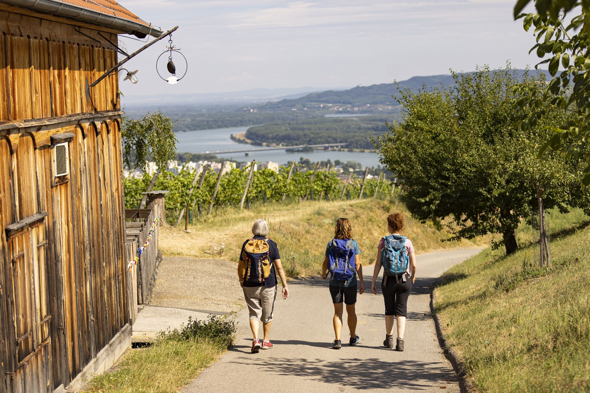
Best mountaineering routes Furth bei Göttweig are found in a region characterized by its position along the Danube River, featuring a mix of forested hillsides, rocky outcrops, and historic vineyard terraces. The terrain often includes varied elevations, offering both challenging ascents and scenic traverses. This area provides a diverse landscape for mountaineering, with routes that navigate through natural rock formations and offer expansive views over the Wachau Valley.
Best mountaineering routes around Furth bei Göttweig
- The most popular mountaineering route…
Last updated: July 1, 2026
5.0
(1)
12
hikers
11.5km
03:57
470m
470m
Moderate mountaineering route. Good fitness required. Mostly accessible paths. Sure-footedness required.
6
hikers
Moderate mountaineering route. Good fitness required. Easily-accessible paths. Suitable for all skill levels.

Sign up for free
1
hikers
Moderate mountaineering route. Good fitness required. Mostly accessible paths. Sure-footedness required.
1
hikers
15.9km
05:26
650m
640m
Hard mountaineering route. Very good fitness required. Mostly accessible paths. Sure-footedness required.
Our route recommendations are based on thousands of hikes, rides, and runs completed by other people on komoot.
Start today with a free account
Your next adventure awaits.
Login or Signup
Popular around Furth bei Göttweig
Other adventures around Furth bei Göttweig

Tips from the Community

Interesting dry meadows with beautiful vegetation are located at Höhereck.
0
0
Very interesting old church in Weißenkirchen in der Wachau
0
0

...and every now and then a rest area with a magnificent view.
0
0

Falkenhorst/ a summit with schnapps 😁
1
0

A beautiful town on the Danube in the Wachau region. A stopover is worthwhile. A very impressive and interesting church.
1
0
Access to the church and elementary school is not barrier-free.
0
0

The castle staircase connects the market square and the fortified castle. There are many romantic corners here.
7
0
Rest area with a view of Weißenkirchen in der Wachau and the Danube Valley.
8
0
Frequently Asked Questions
What are the typical difficulty levels for mountaineering routes around Furth bei Göttweig?
The mountaineering routes in this region offer a mix of challenges. You'll find routes like the Flag Wall – Fahnenwand loop from Dürnstein, which is rated as moderate, providing a good balance for those with some experience. For more challenging ascents, routes such as the Dürnstein Castle Ruins loop from Dürnstein are classified as difficult, featuring varied terrain and significant elevation changes.
Are there any longer mountaineering routes for extended tours?
Yes, for those seeking longer adventures, the Flag Wall – Fahnenwand loop from Dürnstein covers approximately 11.5 km and typically takes around 4 hours to complete. Another substantial option is the Fahnenwand – Hirschwandsteig Rocky Outcrop loop from Weißenkirchen i.d. Wachau, which is about 10.7 km long and also takes roughly 4 hours, offering extensive exploration of the rocky outcrops.
What kind of views can I expect on the mountaineering routes?
The routes around Furth bei Göttweig are renowned for their scenic vistas. Many trails, such as the Dürnstein Castle Ruins loop from Dürnstein, offer panoramic views of the Danube River and the picturesque Wachau Valley. You'll often encounter expansive outlooks from rocky outcrops and elevated forested sections, providing stunning perspectives of the surrounding landscape.
Are there any circular mountaineering routes in the area?
Absolutely, many of the mountaineering routes around Furth bei Göttweig are designed as loops, allowing you to start and end at the same point. Examples include the Fahnenwand – Hirschwandsteig Rocky Outcrop loop from Weißenkirchen i.d. Wachau and the Forest Ridge Trail – View from Kügerlwand loop from Weißenkirchen i.d. Wachau, both offering convenient circular journeys through diverse terrain.
What interesting landmarks or attractions can I see along the mountaineering routes?
The region is rich in history and natural beauty. Many routes pass by or lead to significant landmarks. For instance, the Dürnstein Castle Ruins loop from Dürnstein takes you directly to the historic Dürnstein Castle Ruins, offering a glimpse into the past. You might also encounter the charming Dürnstein Old Town, known for its medieval architecture and vineyards.
Is public transport available to reach the starting points of mountaineering routes?
Yes, the towns along the Danube, such as Dürnstein and Weißenkirchen i.d. Wachau, which serve as starting points for several routes, are generally accessible by public transport. Regional buses and trains connect these areas, making it possible to reach many trailheads without a car. It's advisable to check local timetables for specific connections to your chosen starting point.
What is the best time of year for mountaineering in Furth bei Göttweig?
The region offers pleasant conditions for mountaineering primarily from spring through autumn. During these seasons, the weather is generally mild, and the trails are clear. Spring brings blooming vineyards, while autumn showcases vibrant fall foliage. While some routes might be accessible in winter, conditions can be challenging due to snow and ice, requiring appropriate gear and experience.
Are there any cafes or places to eat near the mountaineering trails?
Given the proximity to charming towns like Dürnstein and Weißenkirchen i.d. Wachau, you'll find various cafes, restaurants, and traditional 'Heurigen' (wine taverns) in these villages. These establishments are often located conveniently near trailheads or along the routes, offering opportunities for refreshments and meals before or after your mountaineering tour.
What do other mountaineers enjoy most about the routes in Furth bei Göttweig?
The komoot community highly rates the mountaineering experience here, with an average score of 5.0 stars. Reviewers frequently praise the diverse terrain, which includes forested hills and challenging rocky outcrops, as well as the stunning views over the Danube and Wachau Valley. The well-maintained paths and the blend of natural beauty with historical sites are also often highlighted.
Are there any less-trafficked or 'hidden gem' mountaineering routes?
While popular routes like those around Dürnstein Castle Ruins attract many, you can often find quieter sections or routes that offer a more secluded experience. Exploring trails that venture deeper into the forested hillsides, such as the Dürnstein Castle Ruins loop from Dürnstein-Oberloiben, might provide a more tranquil mountaineering experience away from the busiest spots, while still offering rewarding views.
Is parking generally available near the trailheads for mountaineering routes?
Yes, in the towns and villages that serve as starting points for mountaineering routes, such as Dürnstein and Weißenkirchen i.d. Wachau, you can typically find designated parking areas. These are often located close to the trailheads, though availability might vary, especially during peak season. It's always a good idea to arrive early or check local parking information if you plan to drive.
Most popular routes around Furth bei Göttweig
Most popular attractions around Furth bei Göttweig

Get inspired with the komoot mobile app


Explore more
Browse the best Mountain Hikes & Routes in other regions.
