The best mountain hikes around Schwarzau im Gebirge
4.7
(135)
1,698
hikers
12
hikes
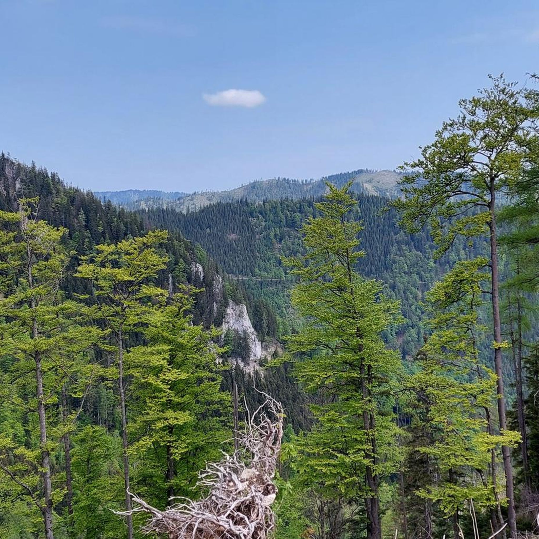
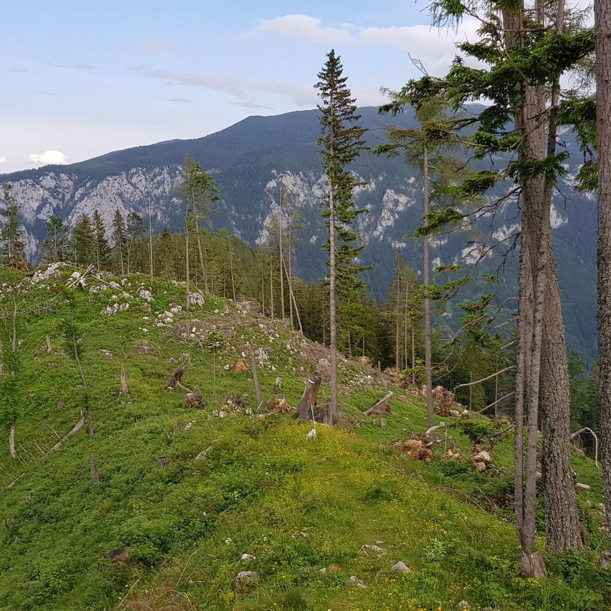
Mountaineering routes around Schwarzau im Gebirge traverse a landscape characterized by prominent alpine formations, including the Schneealpe massif and its highest point, Windberg Summit. The region features diverse terrain, from challenging mountain ascents to paths through dense forests and scenic valleys like Höllental. The Schwarza River flows through the area, contributing to the natural features, while the Falkenstein Nature Park offers more accessible natural experiences. This varied topography provides a range of mountaineering opportunities for different skill levels.
Best mountaineering routes around Schwarzau im Gebirge
- The most popular mountaineering route is Habsburghaus loop from Hinternaßwald, a 9.5 miles (15.3 km) trail that takes 6 hours 20 minutes to complete. This difficult route offers a demanding alpine experience through the region's mountainous terrain.
- Another top favourite among local mountaineers is Großer Sonnleitstein (1,639 m) – Amaiswies (1215 m) loop from Hinternaßwald, a moderate 6.6 miles (10.7 km) path. This route ascends to Großer Sonnleitstein, providing expansive views of the surrounding peaks.
- Local mountaineers also love the Gamseck Summit (1857 m) – Zahmes Gamseck via ferrata loop from Hinternaßwald, a 9.4 miles (15.1 km) trail leading through alpine formations and including a via ferrata, often completed in about 7 hours 10 minutes.
- Mountaineering around Schwarzau im Gebirge is defined by majestic mountain ranges, scenic valleys, and an extensive network of trails. The network offers options for both moderate hikes and challenging alpine routes demanding sure-footedness and alpine experience.
- The routes in Schwarzau im Gebirge are highly rated by the komoot community with an average score of 4.7 stars from over 120 reviews. More than 1700 mountaineers have used komoot to explore Schwarzau im Gebirge's varied terrain.
Last updated: October 18, 2026
5.0
(4)
55
hikers
15.4km
06:20
1,080m
1,080m
Hard mountaineering route. Very good fitness required. Sure-footedness, sturdy shoes and alpine experience required.
5.0
(1)
32
hikers
10.7km
04:29
870m
870m
Moderate mountaineering route. Good fitness required. Mostly accessible paths. Sure-footedness required.

5.0
(3)
23
hikers
15.1km
07:10
1,170m
1,170m
Hard mountaineering route. Very good fitness required. Sure-footedness, sturdy shoes and alpine experience required.
5.0
(1)
11
hikers
19.1km
08:13
1,360m
1,360m
Hard mountaineering route. Very good fitness required. Sure-footedness, sturdy shoes and alpine experience required.
5.0
(2)
10
hikers
18.2km
07:57
1,300m
1,300m
Hard mountaineering route. Very good fitness required. Sure-footedness, sturdy shoes and alpine experience required.
Get access to more routes and recommendations from other explorers.
Already have an account?
Our route recommendations are based on thousands of hikes, rides, and runs completed by other people on komoot.
Start today with a free account
Your next adventure awaits.
Popular around Schwarzau im Gebirge

Other adventures around Schwarzau im Gebirge

Tips from the Community

The Gamseck (2,037 m) is one of the most striking and alpine peaks of the Rax and impresses with its steep rock faces and exposed character. The ascent is usually via challenging climbs like the Gamsecksteig and requires sure-footedness, a head for heights, and good fitness. At the summit, a magnificent panoramic view over the Rax massif and the surrounding Vienna Alps awaits – a real highlight for experienced mountaineers.
3
0
The Karl-Ludwig-Haus is located at 1,804 meters on the edge of the Rax plateau and is one of the most traditional huts in the region. Surrounded by wide alpine meadows and striking rock faces, it is a popular base for hikes across the plateau and to the surrounding peaks. A cozy stop with regional cuisine makes it an ideal resting and starting point for tours on the Rax.
5
0
The Heukuppe, at 2,007 meters, is the highest peak in the Rax and marks the easternmost two-thousand-meter peak in the Alps. From the expansive plateau, an unassuming ascent leads to the highest point, rewarding with an impressive panoramic view over the Vienna Alps and far into the Lower Austrian Prealps. Despite the gentle summit shape, you can feel the alpine vastness and the special location on the edge of the Eastern Alps up here.
5
0
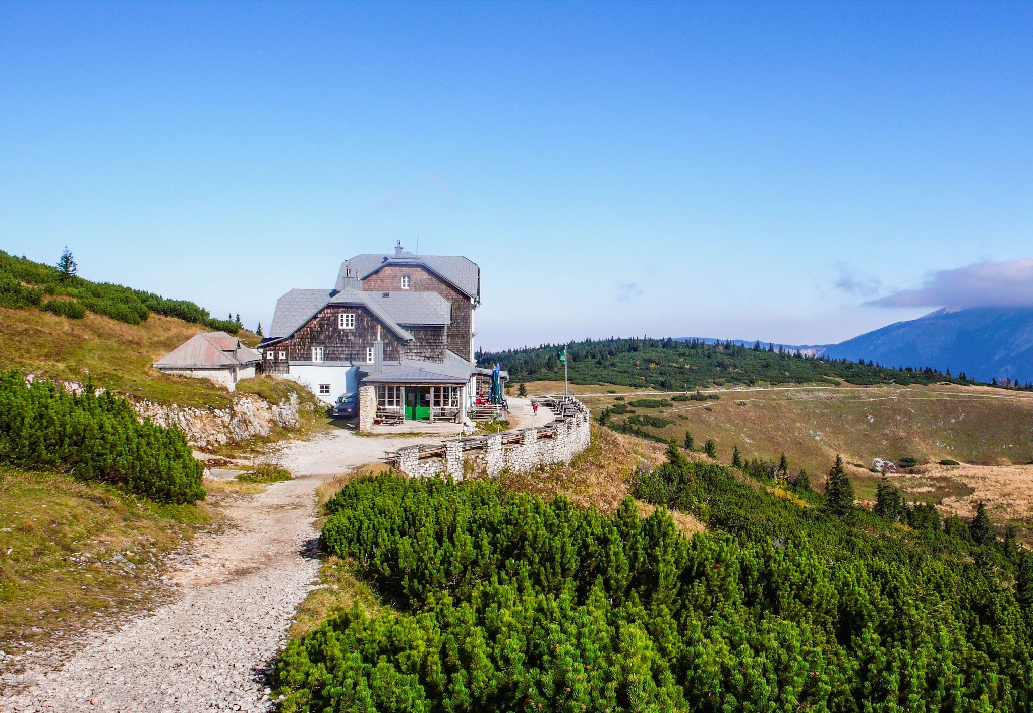
The Habsburghaus is a historic and managed mountain hut of the Austrian Alpine Club at 1,785 m on the Grieskogel in the Rax, Vienna Alps, often called the “Acropolis of the Rax” due to its exposed location. From here, a wide view opens up over the surrounding peaks and plateaus, and it is a popular destination and resting point for mountain hikers and via ferrata tours of various difficulty levels. The hut offers regional cuisine, cozy lounges, and overnight accommodation in multi-bed rooms and dormitories – access is exclusively on foot via marked trails or from the Rax cable car.
5
0

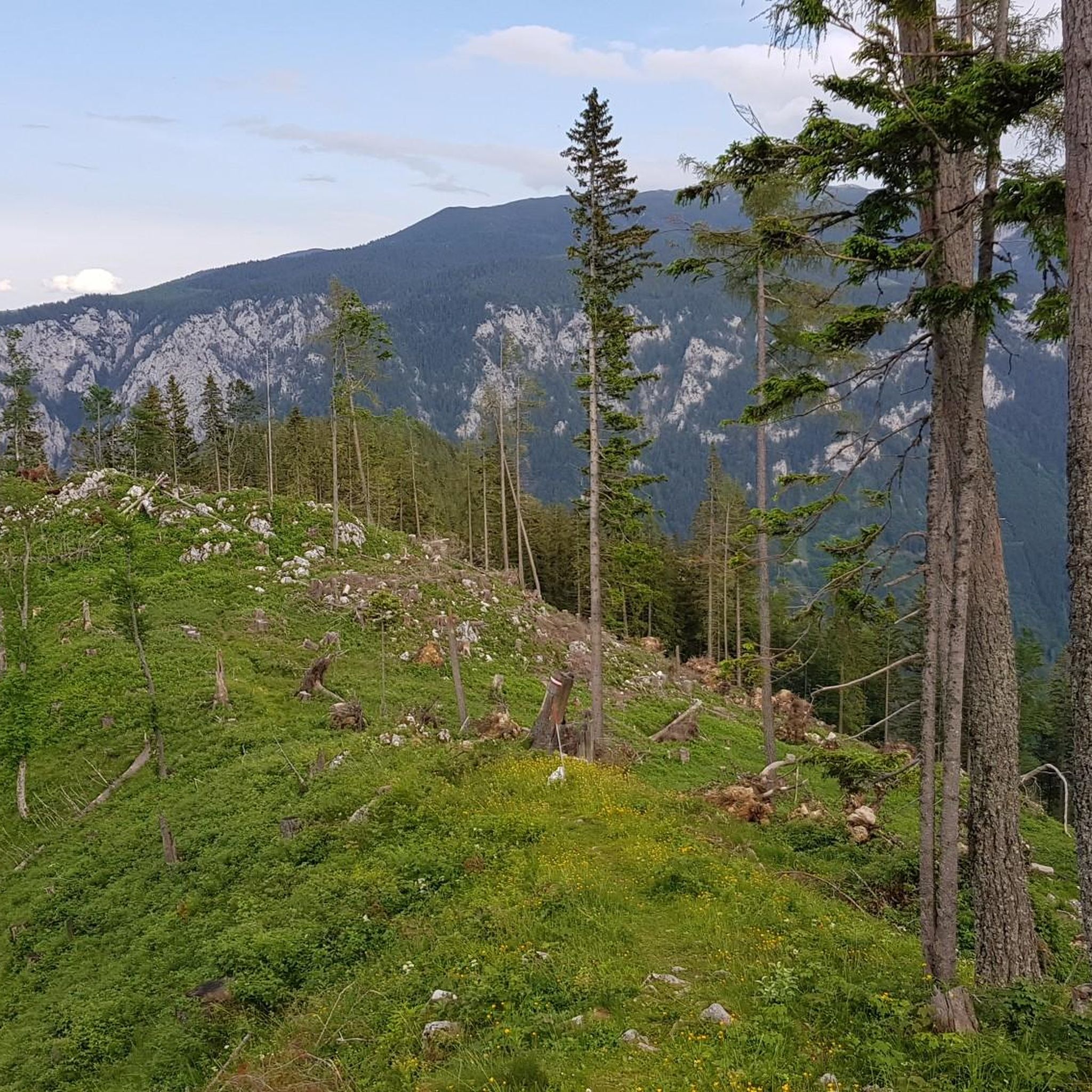
Always on a forest road, slightly ascending, you can climb either to the Schneealpe or to the Rax. The hiking routes to the Schneealpe are all technically easy, to the Rax, depending on the route choice, they are to be rated differently. However, the more difficult ascent from the Reistal to the Rax via the Wildfähre never exceeds climbing difficulty category B. The ascents to Schneealpe and Rax are, however, only recommended for hikers with good stamina.
0
0
Here there are several options for continuing your hike. On the one hand, it goes down to Hinternasswald and on the other hand to Altenberg/Rax. From the Nasskamm you can either ascend to the Rax or to the Schneealpe.
0
0

Detour to the summit when descending the Heukuppe in the direction of Altenbergersteig.
0
0

We walked the Franz Jonas Steig on 05.04.2026 and had quite bad conditions. The path is not particularly well marked in the upper part and is difficult to see, especially due to the (still) lying snow (partially up to 50cm). The snow cover is also very slushy/mushy at the moment - so the whole thing is just very slippery. Everything up to the Betriegel was no problem, but the section up to the Sonnleitstein was then freestyle on the ridge - We were lucky that someone had tracked. But the person in front also got lost a few times. Therefore: Definitely not a beginner tour for early spring.
0
0
Frequently Asked Questions
What is the general difficulty level of mountaineering routes in Schwarzau im Gebirge?
The mountaineering routes around Schwarzau im Gebirge cater to experienced hikers, with the majority being classified as difficult. Out of 13 available routes, 10 are difficult, and 3 are moderate. These challenging trails often involve significant elevation gains and require sure-footedness and alpine experience. For example, the Habsburghaus loop from Hinternaßwald is a difficult route covering 15.3 km with over 1000 meters of ascent.
Are there any circular mountaineering routes in Schwarzau im Gebirge?
Yes, many of the mountaineering routes in Schwarzau im Gebirge are designed as circular tours, allowing you to start and end at the same point. Examples include the challenging Gamseck Summit (1857 m) – Zahmes Gamseck via ferrata loop from Hinternaßwald, which is 15.1 km long, or the moderate Großer Sonnleitstein (1,639 m) – Amaiswies (1215 m) loop from Hinternaßwald, spanning 10.7 km.
What are some unique features or terrains I might encounter on these routes?
Mountaineering in Schwarzau im Gebirge offers a diverse range of terrains. You can expect to traverse prominent alpine formations, including parts of the Schneealpe massif, and experience dramatic valleys like Höllental. Some routes, such as the Gamseck Summit (1857 m) – Zahmes Gamseck via ferrata loop from Hinternaßwald, even include via ferrata sections, adding an extra dimension of challenge and adventure. You'll also find paths through dense forests and open alpine meadows.
What kind of scenic viewpoints can I expect along the mountaineering trails?
The region is renowned for its expansive views. From peaks like Windberg Summit (Schneealpe), you can enjoy panoramic vistas of surrounding peaks such as Hohe Veitsch, Hochschwab, Göller, Schneeberg, and Rax. On clear days, you might even catch glimpses of the Gesäuse and Dachstein massif. Many routes offer stunning perspectives of the dramatic Höllental valley and the picturesque Schwarza River.
Are there any mountain huts or places to rest along the routes?
Yes, the area features several mountain huts that serve as essential resting points and offer culinary experiences. The Türnitzer Hut and Ottohaus Mountain Lodge are notable examples. The Öhler Hut (Öhlerschutzhaus) is also a popular destination, known for its 'Öhlerknödel' and great views from its terrace, providing a welcome break for mountaineers.
What is the best time of year for mountaineering in Schwarzau im Gebirge?
The best time for mountaineering typically spans from late spring through early autumn when conditions are most favorable. However, Schwarzau im Gebirge also offers winter activities. While some trails are cleared for winter hiking, ski touring is also popular. Always check current weather and trail conditions, especially for higher alpine routes, as snow and ice can persist well into spring.
What do other mountaineers say about the routes in Schwarzau im Gebirge?
The mountaineering routes in Schwarzau im Gebirge are highly regarded by the komoot community, boasting an average rating of 4.7 stars from over 120 reviews. Mountaineers frequently praise the majestic mountain ranges, the scenic valleys, and the extensive network of trails that offer both moderate hikes and challenging alpine experiences. The diverse terrain and rewarding views are often highlighted as key attractions.
Are there any family-friendly options or easier trails for beginners?
While most mountaineering routes in this guide are difficult, there are some moderate options suitable for those with good fitness but less alpine experience, such as the Großer Sonnleitstein (1,639 m) – Amaiswies (1215 m) loop from Hinternaßwald. For more accessible natural experiences, the Falkenstein Nature Park within Schwarzau im Gebirge offers idyllic paths, a fish educational trail, and a children's playground, making it suitable for families and leisurely exploration.
What are the parking options for accessing mountaineering trails?
Access points for many routes, such as those starting from Hinternaßwald, typically offer parking facilities. For example, the challenging Zahmes Gamseck via ferrata – Habsburghaus loop from Hinternaßwald begins from an area where parking is generally available. It's always advisable to check specific trailhead information for detailed parking instructions and any potential fees before your trip.
Can I reach the mountaineering areas using public transport?
Schwarzau im Gebirge is accessible, and while specific public transport links directly to every trailhead might vary, the region is generally served by public transport options that can get you close to the starting points of many routes. It's recommended to research local bus schedules or regional train connections to Schwarzau im Gebirge and then plan your final approach to the trailheads accordingly.
Are there any historical landmarks or castles near the mountaineering routes?
Yes, beyond the natural beauty, the region around Schwarzau im Gebirge also features historical landmarks. You can find several castles and historical sites nearby, such as the Losenheim castle ruins, Reichenau an der Rax Castle, and the Rudolfsvilla (Sisi Palace) in Reichenau. These offer interesting diversions for rest days or after your mountaineering adventures.
What is the typical length and duration of mountaineering routes in this area?
The mountaineering routes in Schwarzau im Gebirge vary in length and duration, reflecting their difficulty. You can find routes ranging from moderate 10.7 km trails like the Großer Sonnleitstein (1,639 m) – Amaiswies (1215 m) loop from Hinternaßwald, which takes about 4 hours, to more demanding 19.1 km routes such as the Zahmes Gamseck via ferrata – Habsburghaus loop from Hinternaßwald, which can take over 8 hours to complete. The longest route in this guide is the Gloggnitzer Hut – Kessel Gorge loop from Weichtalhaus, spanning nearly 25 km and requiring over 11 hours.
Most popular routes around Schwarzau im Gebirge
Most popular attractions around Schwarzau im Gebirge

Get inspired with the komoot mobile app


Explore more
Browse the best Mountain Hikes & Routes in other regions.
