The best running trails around Euratsfeld
5.0
(2)
331
runners
40
runs
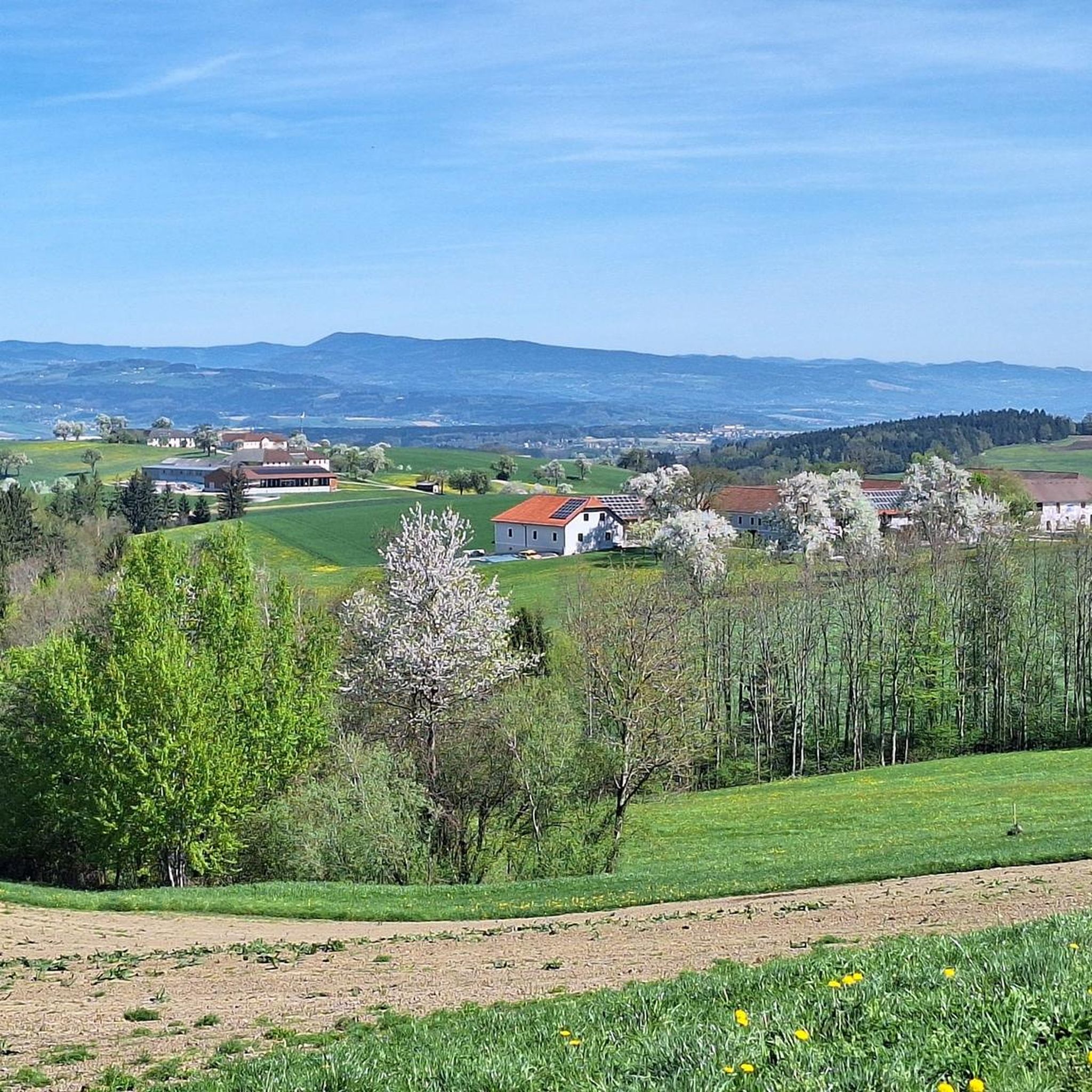
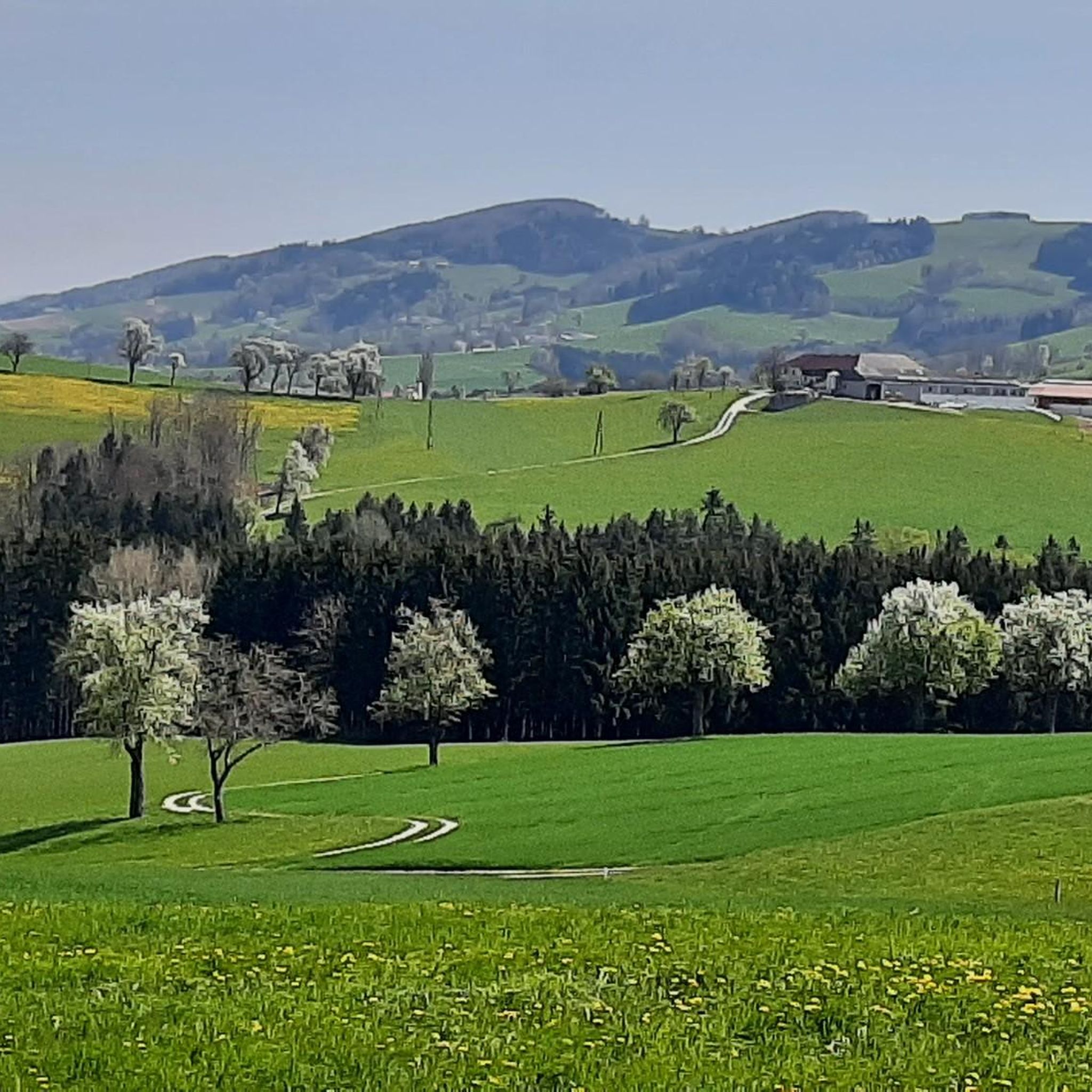
Jogging around Euratsfeld offers diverse landscapes for runners of all levels. The region features varied running trails, from mostly paved paths to more natural routes, set within the green hills of the Mostviertel. Hilly terrain, including the Hochkogel mountain, provides opportunities for challenging runs with significant elevation changes. Natural features like the Blindenmarkt Lakes offer tranquil settings for outdoor activity.
Best jogging routes around Euratsfeld
- The most popular jogging route is Running loop from Euratsfeld, a 3.5 miles (5.6 km) trail that takes 36 minutes to complete. This moderate route offers a accessible path through the local landscape.
- Another top favourite among local runners is Hochkogel Summit – Tree With a Face-Like Trunk loop from Euratsfeld, a difficult 8.9 miles (14.3 km) path. This route features substantial elevation gain, leading towards the Hochkogel summit.
- Local runners also love the Weir loop from Flugplatz Leutzmannsdorf, a 4.3 miles (6.8 km) trail leading through varied terrain, often completed in about 42 minutes.
- Jogging around Euratsfeld is defined by its green hills, diverse trails, and natural lakes. The network offers options for different ability levels, from leisurely runs to more strenuous challenges.
- The routes in Euratsfeld are highly rated by the komoot community with an average score of 5.0 stars from 2 reviews. More than 350 runners have used komoot to explore Euratsfeld's varied terrain.
Last updated: July 2, 2026
5.0
(1)
28
runners
5.59km
00:36
50m
50m
Moderate run. Good fitness required. Mostly paved surfaces. Suitable for all skill levels.
5.0
(1)
19
runners
14.3km
01:43
480m
480m
Hard run. Very good fitness required. Mostly paved surfaces. Suitable for all skill levels.

Sign up for free
17
runners
6.85km
00:42
20m
20m
Moderate run. Good fitness required. Mostly paved surfaces. Suitable for all skill levels.
8
runners
10.4km
01:07
110m
110m
Moderate run. Good fitness required. Mostly paved surfaces. Suitable for all skill levels.
9
runners
18.5km
01:58
130m
130m
Hard run. Very good fitness required. Mostly paved surfaces. Suitable for all skill levels.
Get access to more routes and recommendations from other explorers.
Sign up for free
Already have an account?
Our route recommendations are based on thousands of hikes, rides, and runs completed by other people on komoot.
Start today with a free account
Your next adventure awaits.
Login or Signup


Other adventures around Euratsfeld

Tips from the Community

Added to the collection: https://www.komoot.com/de-de/collection/3600632/-naturdenkmaeler-besondere-baeume-und-weitere-schaetze-der-natur
1
0

It's not just the great view that's attractive on this path. The trees along the path are also worth a second look.
0
0

You can hike here at any time of year and enjoy a fantastic view. You can stop off at the Panoramastüberl. Many enthusiastic hikers also meet here on New Year's Eve to celebrate the end of the year.
4
1

Mountain (700 meters above sea level) with 360 ° panoramic view of the Mostviertel. Among the striking peaks of Dürrenstein, Hochkar, Ötscher and Groß Priel. Magnificent panoramic view in the north to the Danube valley, south to the Gesäuse mountains.
1
1
Frequently Asked Questions
How many running routes are available around Euratsfeld?
Euratsfeld offers a wide selection of over 40 running routes. These include options for all fitness levels, from leisurely jogs to more challenging trail runs.
Are there easy jogging routes suitable for beginners in Euratsfeld?
Yes, Euratsfeld features 6 easy running routes perfect for beginners or those looking for a relaxed jog. Many of these trails offer mostly paved surfaces, making them accessible and enjoyable.
What kind of terrain can I expect on running trails in Euratsfeld?
The region boasts diverse terrain, from mostly paved paths ideal for a smooth run to more natural trails. You'll encounter the 'green hills' of the Mostviertel, offering picturesque backdrops and varied topography, as well as more challenging hilly sections.
Are there any circular running routes in Euratsfeld?
Yes, many of the running routes in Euratsfeld are circular, allowing you to start and finish at the same point. For example, the Running loop from Euratsfeld is a popular moderate circular trail.
What are some scenic points or landmarks I can see while jogging in Euratsfeld?
You can discover several interesting landmarks and natural features. The Ulmerfeld Castle offers a historical backdrop, while the Tree With a Face-Like Trunk is a unique natural monument. The Blindenmarkt Lakes also provide a tranquil setting for runs.
Are there any challenging running routes with significant elevation gain?
Absolutely. For those seeking a challenge, routes like the Hochkogel Summit – Tree With a Face-Like Trunk loop from Euratsfeld offer substantial elevation gain, leading towards the Hochkogel summit and providing rewarding views.
What do other runners enjoy most about jogging in Euratsfeld?
The running routes in Euratsfeld are highly rated by the komoot community, with an average score of 5.0 stars. Runners often praise the diverse landscapes, the mix of easy and challenging trails, and the natural beauty of the Mostviertel's green hills.
Are there running routes that pass by the Blindenmarkt Lakes?
Yes, the Blindenmarkt Lakes are a notable natural feature in the area. The Ausee 1 loop from Schloss Senftenegg is a longer, more difficult route that incorporates the refreshing environment around these lakes.
Can I find running routes that are longer than 10 km?
Yes, Euratsfeld offers several longer running routes. For instance, the Ausee 1 loop from Schloss Senftenegg is over 18 km, and the Hochkogel Summit – Tree With a Face-Like Trunk loop from Euratsfeld is over 14 km, both providing extensive running experiences.
Are there running trails near Euratsfeld that are suitable for a moderate fitness level?
The majority of running routes in Euratsfeld, 31 out of 43, are classified as moderate. These trails offer a good balance of distance and elevation, such as the Schloss Senftenegg loop from Schloss Senftenegg, which is a great option for a moderate run.
What is the typical duration for a running route in Euratsfeld?
Running durations vary significantly based on the route's length and difficulty. For example, a moderate trail like the Running loop from Euratsfeld typically takes around 36 minutes, while more difficult routes can take several hours.
Most popular routes around Euratsfeld
Most popular attractions around Euratsfeld

Get inspired with the komoot mobile app


Explore more
Browse the best Running Trails & Routes in other regions.
