The best walks and hikes in Lower Lusatia
4.5
(23363)
89,384
hikers
4,836
hikes
Hiking in Lower Lusatia offers a diverse landscape characterized by extensive waterways, dense forests, and a unique blend of natural beauty with industrial heritage. The region features the rewilded landscapes of the Lusatian Lakeland, formed from former open-pit mines, alongside tranquil river valleys and nature parks. Hikers can explore varied topography, including gently rolling countryside and classic pine forests, with elevations generally remaining low. This area provides a range of trails suitable for different experience levels, showcasing its distinctive natural…
Last updated: August 14, 2026
4.8
(95)
274
hikers
10.7km
03:24
110m
110m
Moderate hike. Good fitness required. Mostly accessible paths. Sure-footedness required.
4.7
(632)
2,698
hikers
Easy hike. Great for any fitness level. Easily-accessible paths. Suitable for all skill levels.

Sign up for free
4.7
(87)
247
hikers
8.10km
02:05
40m
40m
Moderate hike. Good fitness required. Mostly accessible paths. Sure-footedness required.
4.9
(42)
125
hikers
13.6km
04:14
80m
80m
Moderate hike. Good fitness required. Mostly accessible paths. Sure-footedness required.
4.5
(428)
1,305
hikers
Moderate hike. Good fitness required. Easily-accessible paths. Suitable for all skill levels.
4.7
(38)
115
hikers
Moderate hike. Good fitness required. Mostly accessible paths. Sure-footedness required.
4.9
(14)
85
hikers
Moderate hike. Great for any fitness level. Mostly accessible paths. Sure-footedness required.
4.8
(25)
66
hikers
Easy hike. Great for any fitness level. Easily-accessible paths. Suitable for all skill levels.
4.7
(746)
2,934
hikers
Easy hike. Great for any fitness level. Easily-accessible paths. Suitable for all skill levels.
4.8
(5)
13
hikers
Moderate hike. Good fitness required. Easily-accessible paths. Suitable for all skill levels.
Get access to more routes and recommendations from other explorers.
Sign up for free
Already have an account?
Our route recommendations are based on thousands of hikes, rides, and runs completed by other people on komoot.
Start today with a free account
Your next adventure awaits.
Login or Signup
Popular around Lower Lusatia
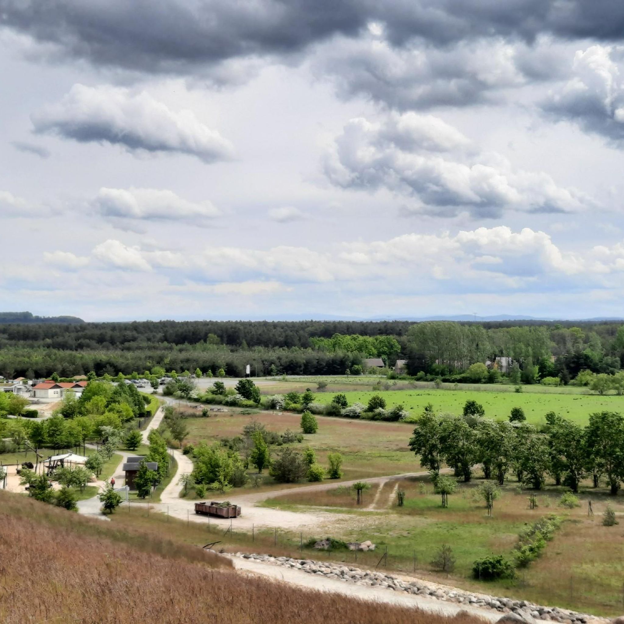
Hiking in Sorbisches Siedlungsgebiet
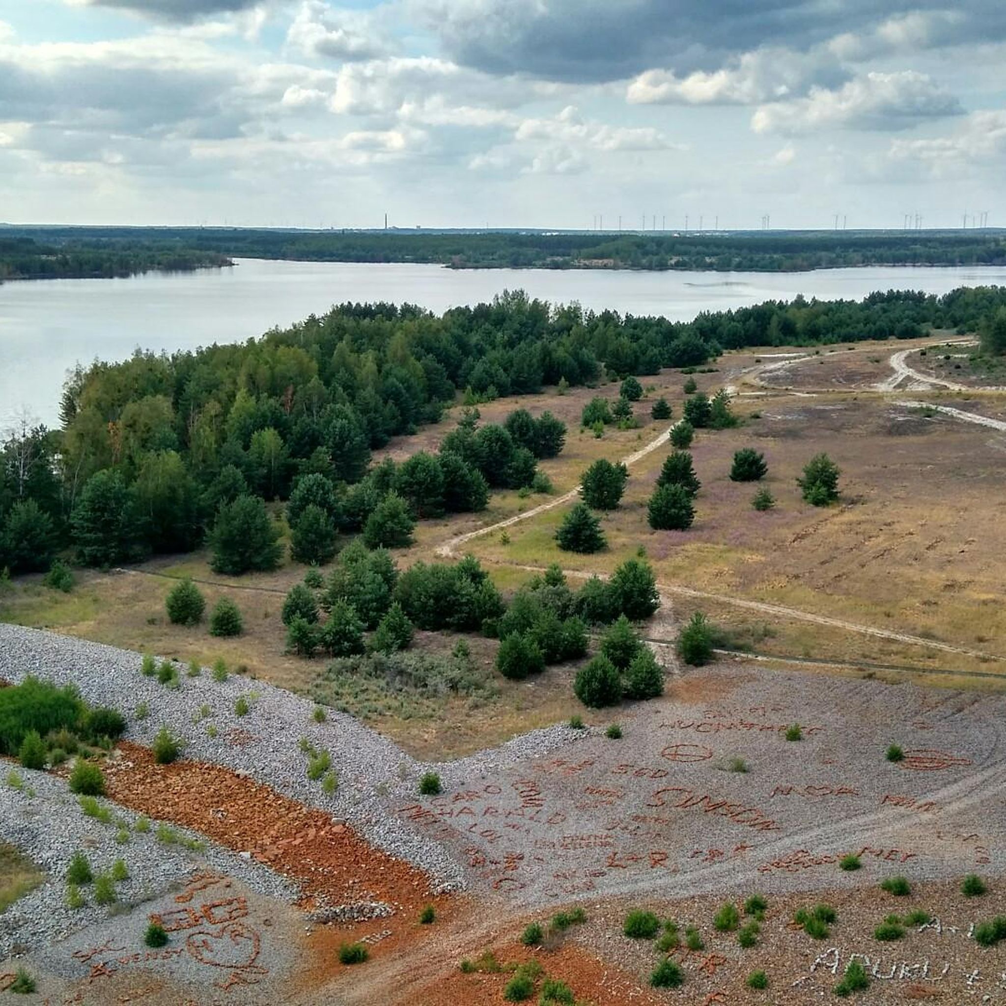
Hiking in Oberspreewald-Lausitz
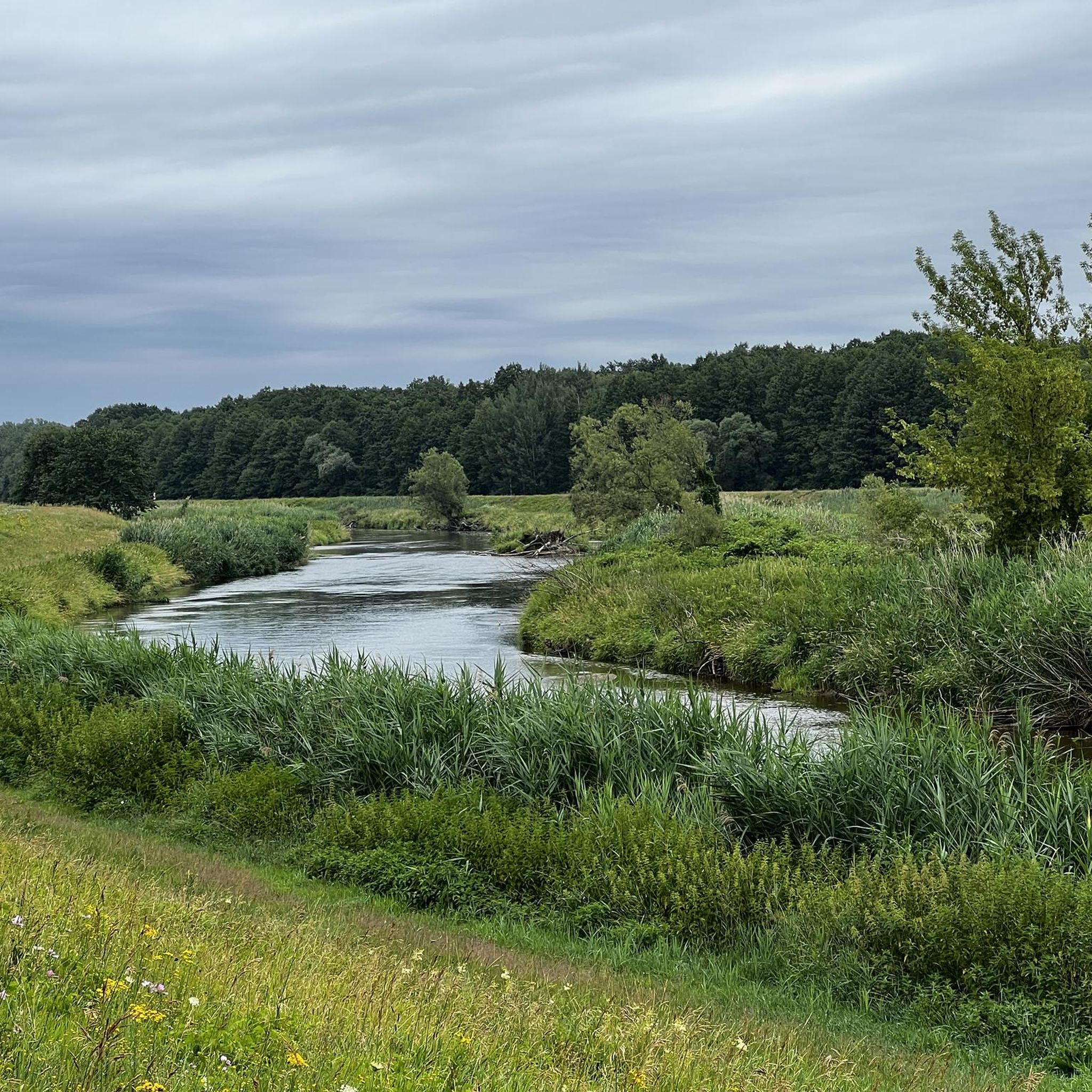
Hiking in Spree-Neiße
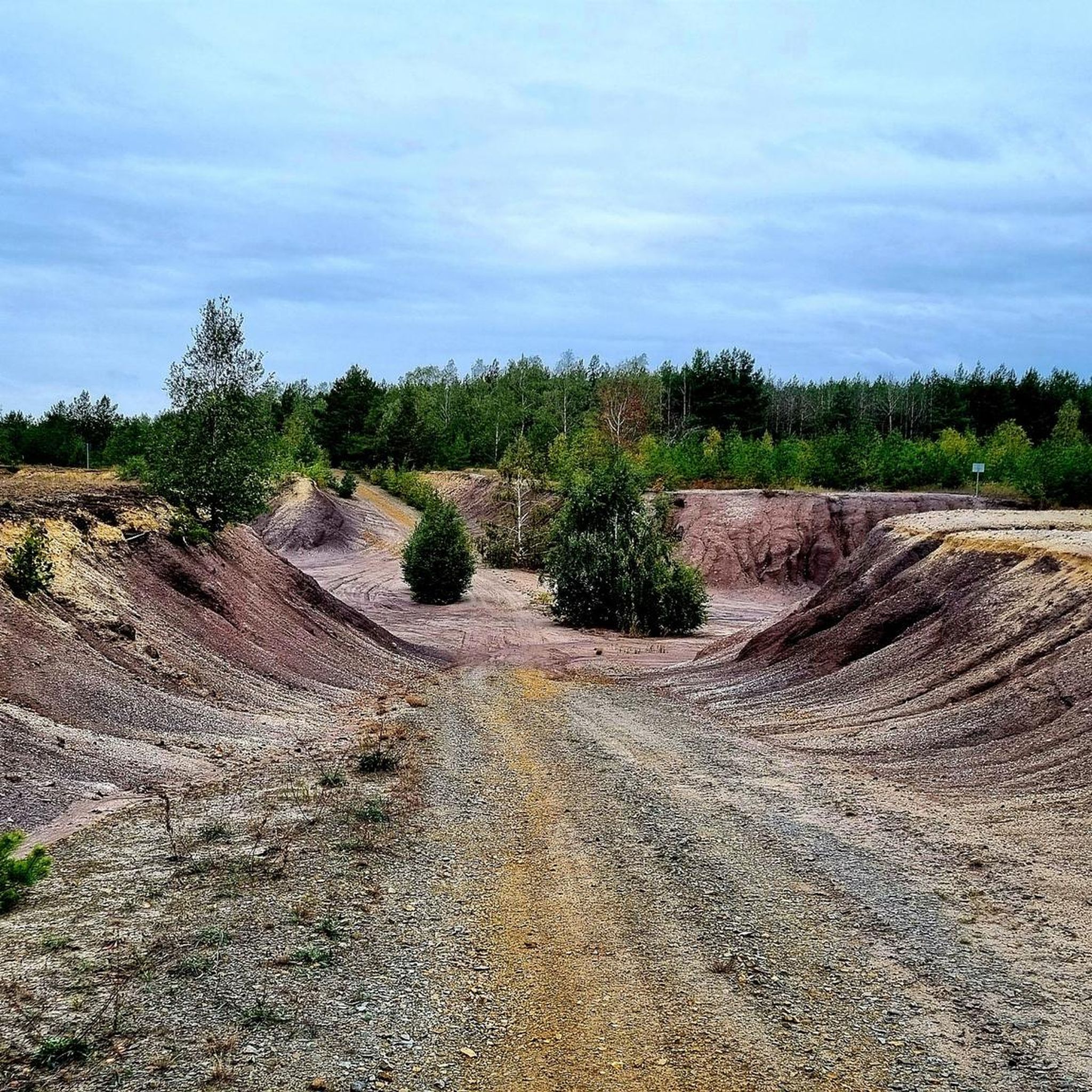
Hiking in Elbe-Elster
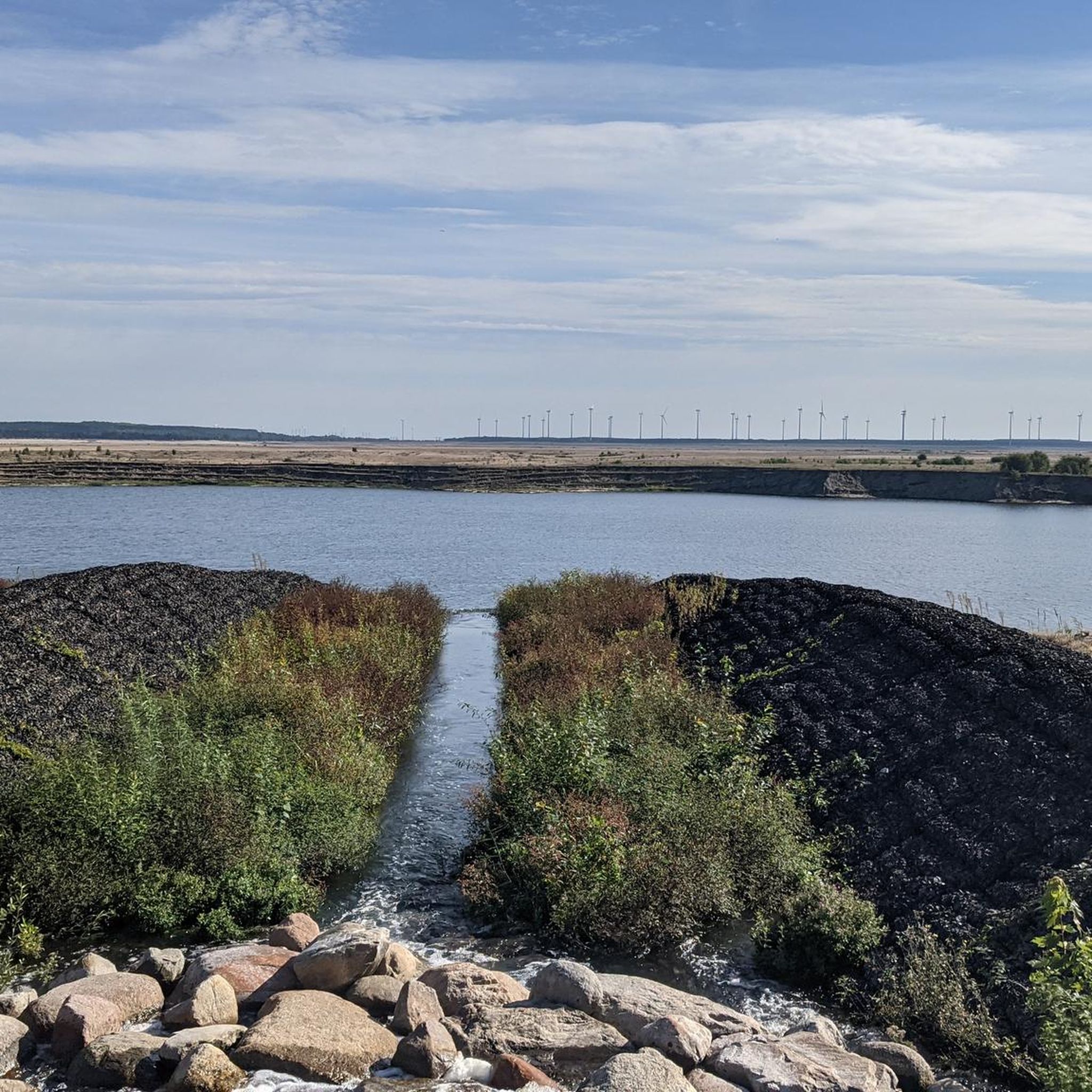
Hiking in Cottbus
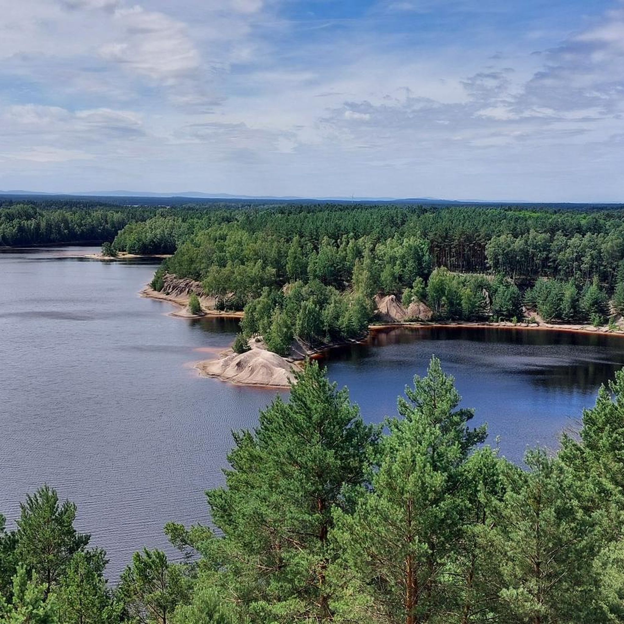
Hiking around Żary
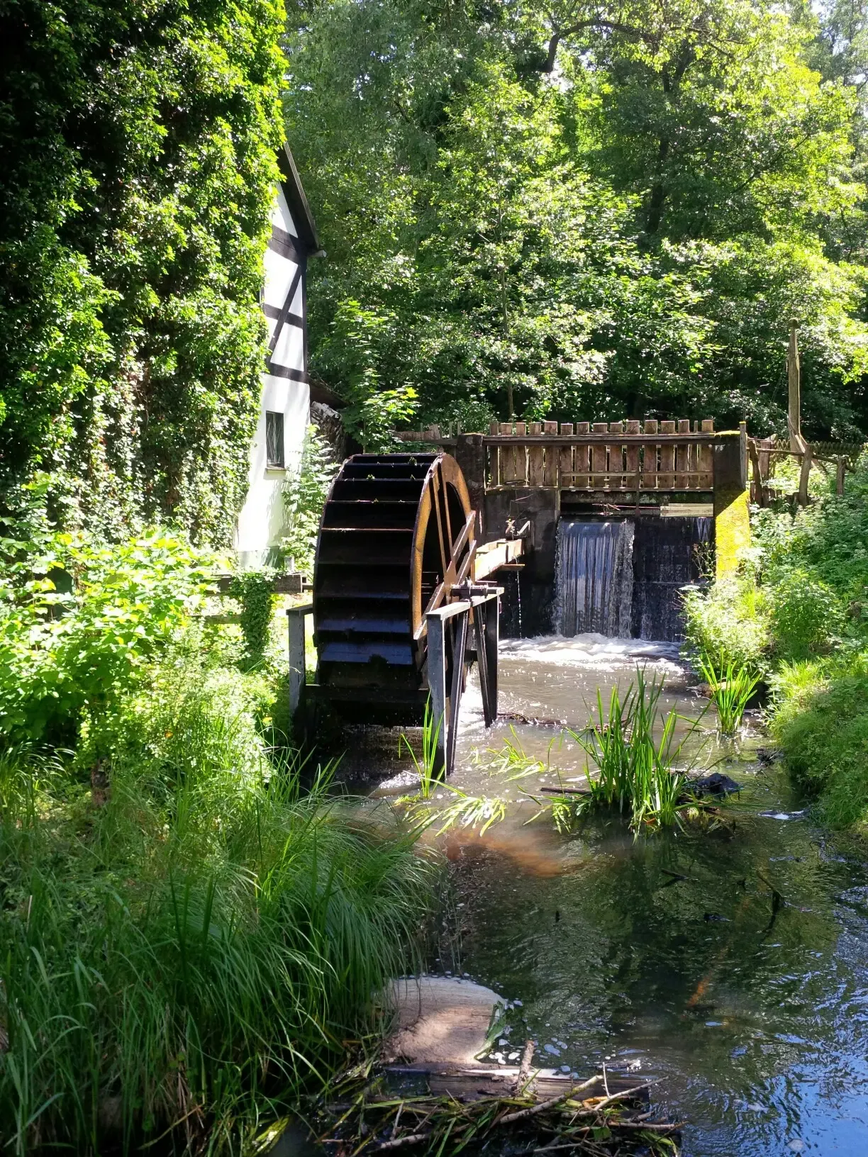
Mill Hiking Trail – The Schlaubetal hiking paradise
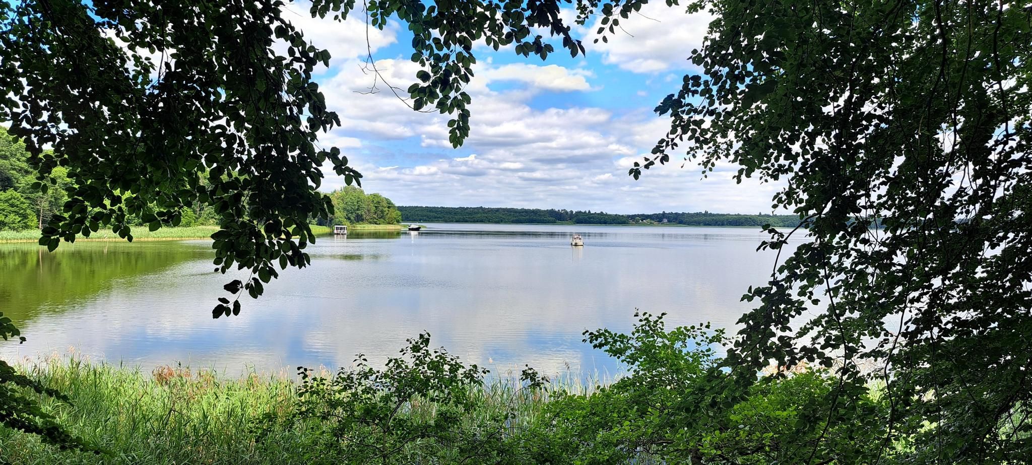
The National Natural Landscapes in Brandenburg
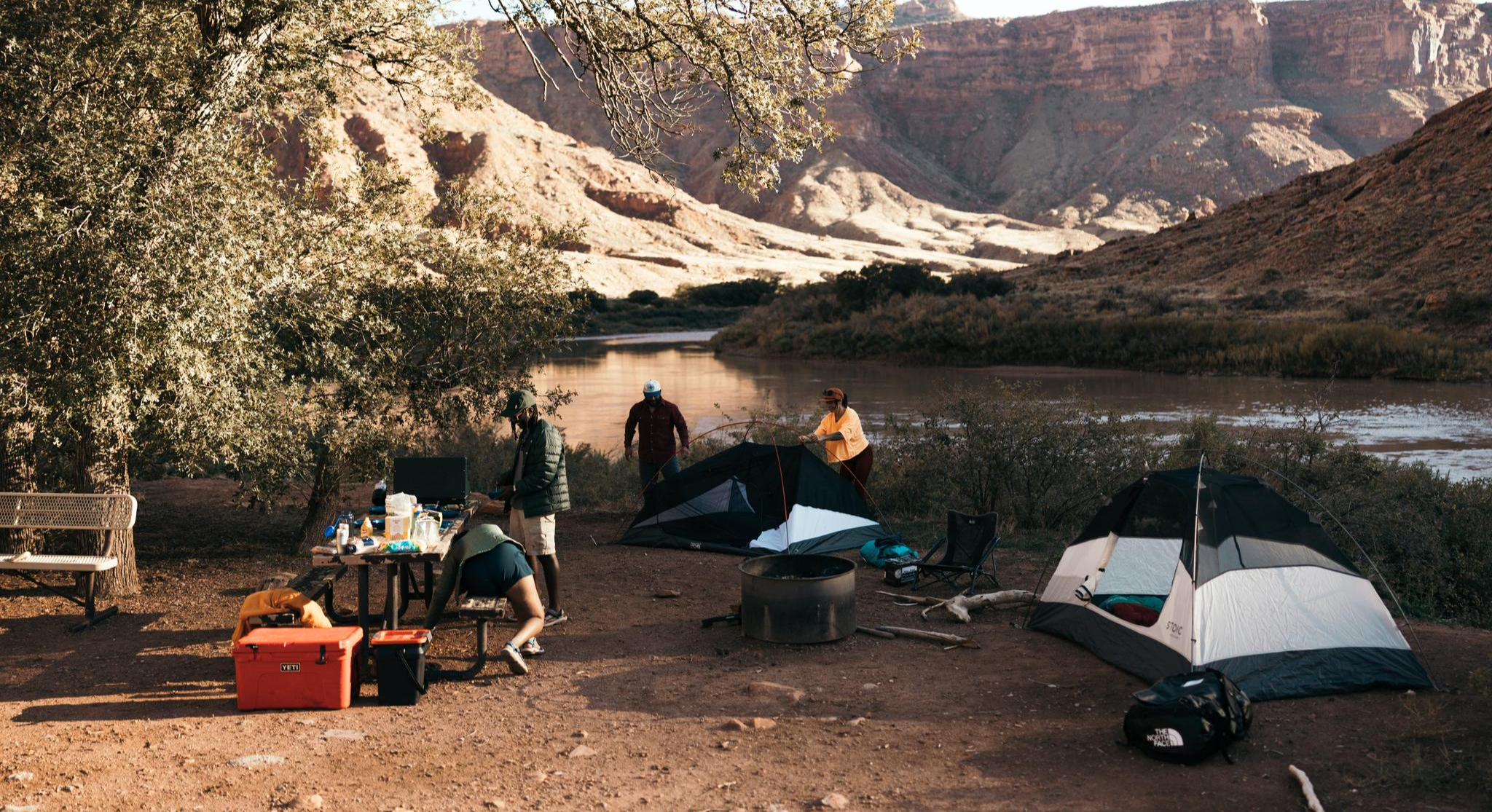
Glamping Adventures on Foot

#GoFurther – discover the views of Germany!
Other adventures in Lower Lusatia


Tips from the Community

Currently (end of August 2026), many of the ponds unfortunately present a sad picture, containing only large puddles or no water at all. Only the Großer Brauereiteich seems to have a passable water level. Let's hope that the ponds recover and the full diversity of animals and plants becomes visible again.
0
0
Very beautiful place with a surprising view and, depending on the season, plenty of blueberries or blooming heather.
0
0
From Cabeler Straße, the path leads across a meadow used as pasture. The entrance to the thicket is very difficult to find. Afterwards, an adventurous, partly very littered path follows. At two points, you can catch a glimpse of the ponds. Especially from the east side of the ponds and the bridge, the path is much easier to walk. Definitely something for trackers ;)
0
0


Not an officer's hill but the general's hill
0
0
It is very quiet and peaceful in the Lieberos Heath. But the area hasn't always been as peaceful and tranquil as it is today. The largest military exercise took place here in 1970, when the Warsaw Pact states held their first large-scale joint exercise, "Brotherhood in Arms." The exercise was observed from Generalshügel (General's Hill). (Leonid Brezhnev, Walter Ulbricht, Erich Honecker, and Raul Castro) Over 50,000 soldiers are said to have been deployed in Lieberose alone. The area is heavily contaminated with munitions. Germany's largest desert is increasingly becoming a steppe landscape. The grandstand on Generalshügel has been rebuilt in accordance with historic preservation regulations and is now the centerpiece of the Succession Park.
0
0
Frequently Asked Questions
What kind of landscapes can I expect to see while hiking in Lower Lusatia?
Lower Lusatia offers a remarkably diverse landscape. You'll find the intricate waterways of the Spreewald UNESCO Biosphere Reserve, the transforming post-mining areas of the Lusatian Lake District with its numerous artificial lakes, and the enchanting, forest-rich trails of the Schlaubetal Nature Park. The region also features unique geological formations like the Muskauer Faltenbogen and the expansive heathlands of the Lower Lusatian Heath Nature Park.
How many hiking trails are available in Lower Lusatia?
There are over 4,900 hiking trails recorded in Lower Lusatia on komoot, offering a wide range of options for all skill levels. Approximately 2,900 of these are easy, 1,800 are moderate, and about 160 are considered difficult.
Are there any family-friendly hiking trails in Lower Lusatia?
Yes, Lower Lusatia has many family-friendly options. For an easy and scenic walk through the Spreewald waterways, consider the Wooden Bridge to Lehde – Leiper Weggraben loop from Lübbenau/Spreewald - Lubnjow/Błota. This 5.2 km trail is relatively flat and offers picturesque views suitable for all ages.
Can I bring my dog on hikes in Lower Lusatia?
Many trails in Lower Lusatia are dog-friendly, especially those through forests and open landscapes. Always keep your dog on a leash, particularly in nature reserves and near wildlife. A great option for a walk with your dog is The Wilderness Trail - Experience the Lieberose Wilderness Area, which takes you through expansive natural areas.
Are there any circular hiking routes in the region?
Yes, many routes in Lower Lusatia are designed as circular walks, allowing you to start and end at the same point. For example, the From Goldborn to Ziegelturm – Hiking in Calauer Switzerland is a moderate circular route that explores the scenic Calauer Switzerland.
What are some notable landmarks or viewpoints I can discover on a hike?
Lower Lusatia offers several interesting landmarks and viewpoints. In the Lusatian Lake District, the Rusty Nail Observation Tower provides panoramic views over the transformed landscape. You can also find historical sites like Schlossberg and various old mills along water streams, particularly in areas like Schlaubetal. The Volkspark Cottbus also offers a pleasant natural setting.
Are there any waterfalls in Lower Lusatia?
While Lower Lusatia is not known for large natural waterfalls, you can find charming cascades and smaller falls, especially along the Spree River. Notable spots include Spreefall, Krayner Cascade, and the Waterfall at the Guben Water Tower Bridge. For more information, you can explore the Waterfalls in Lower Lusatia guide.
What do other hikers enjoy most about hiking in Lower Lusatia?
The komoot community highly rates hiking in Lower Lusatia, with an average score of 4.6 stars from over 20,000 reviews. Hikers often praise the region's unique blend of tranquil waterways, dense forests, and the fascinating post-industrial landscapes of the Lusatian Lake District. The well-maintained trails and the opportunity to experience diverse natural and cultural sites are frequently highlighted.
Are there any shorter, easy hikes for beginners?
Absolutely. For beginners or those looking for a shorter, relaxed walk, the The view Wilderness - Experience the Lieberose wilderness area is an excellent choice. This easy trail is just over 2 km long and offers a gentle introduction to the region's natural beauty.
What is the best time of year to go hiking in Lower Lusatia?
Lower Lusatia is beautiful year-round, but spring (April-May) and autumn (September-October) are particularly popular. In spring, the forests burst with new growth, and in autumn, the foliage offers stunning colors. Summer is also great, especially for trails near the lakes, but be prepared for warmer temperatures. Winter hiking is possible, offering a serene, quiet experience, especially in the snow-covered Spreewald.
Are there any challenging routes for experienced hikers?
Yes, for those seeking a more demanding experience, Lower Lusatia offers several difficult routes. An example is the Wotschofska Inn – Spreewald Waterways loop from Lübbenau (Spreewald) / Lubnjow (Błota). This challenging 28.6 km trail provides a longer, immersive journey through the Spreewald's unique landscape.
Most popular routes in Lower Lusatia
Most popular attractions in Lower Lusatia

Get inspired with the komoot mobile app


Didn’t find what you were looking for?
Check out more Hikes throughout Lower Lusatia below and find the perfect route in your destination.
Explore more
Browse the best Hikes in other regions.
