The best running trails around Frantschach-Sankt Gertraud
4.6
(35)
1,589
runners
176
runs
Jogging routes around Frantschach-Sankt Gertraud traverse a diverse landscape, from the valley floor along the Lavant River to elevated alpine regions. The municipality features expansive forests and varied topography, providing a range of running experiences. This area, nestled in Carinthia's Lavanttal region, offers numerous designated running routes and trails suitable for different fitness levels, extending from riverbanks up to alpine heights like the Weinebene.
Best jogging routes around Frantschach-Sankt Gertraud
- The most popular jogging route is Weinebene – Großer Speikkogel…
Last updated: October 12, 2026
5.0
(1)
50
runners
16.1km
02:20
560m
560m
Hard run. Very good fitness required. Sure-footedness, sturdy shoes and alpine experience required.
40
runners
7.82km
01:09
460m
460m
Hard run. Very good fitness required. Sure-footedness, sturdy shoes and alpine experience required.

25
runners
Hard run. Very good fitness required. Sure-footedness, sturdy shoes and alpine experience required.
5.0
(1)
20
runners
14.9km
02:05
680m
680m
Hard run. Very good fitness required. Sure-footedness, sturdy shoes and alpine experience required.
19
runners
20.1km
03:05
890m
900m
Hard run. Very good fitness required. Sure-footedness, sturdy shoes and alpine experience required.
Get access to more routes and recommendations from other explorers.
Already have an account?
Our route recommendations are based on thousands of hikes, rides, and runs completed by other people on komoot.
Start today with a free account
Your next adventure awaits.
Popular around Frantschach-Sankt Gertraud
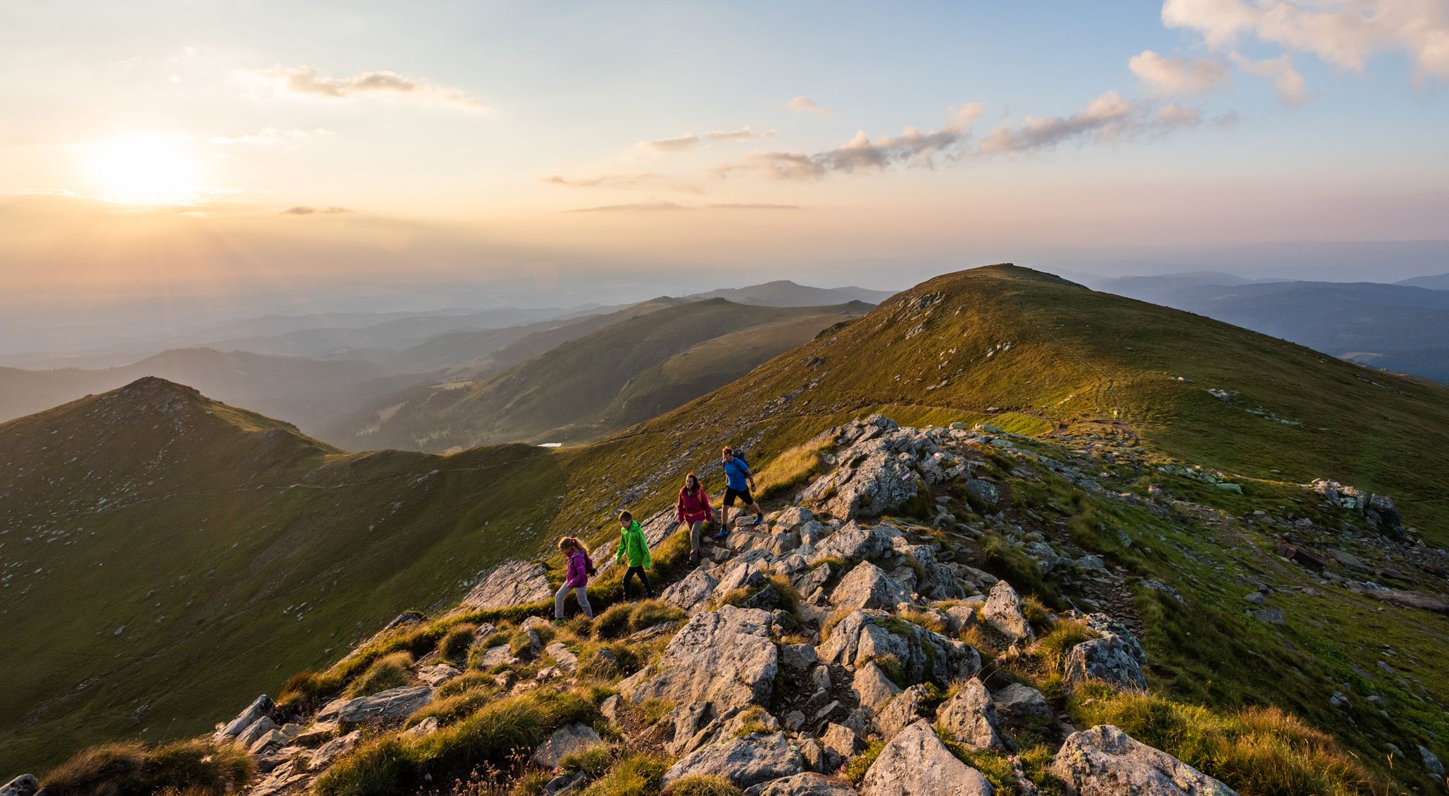
9 days of relaxation and wonder in Austria – Lavant Valley Trail
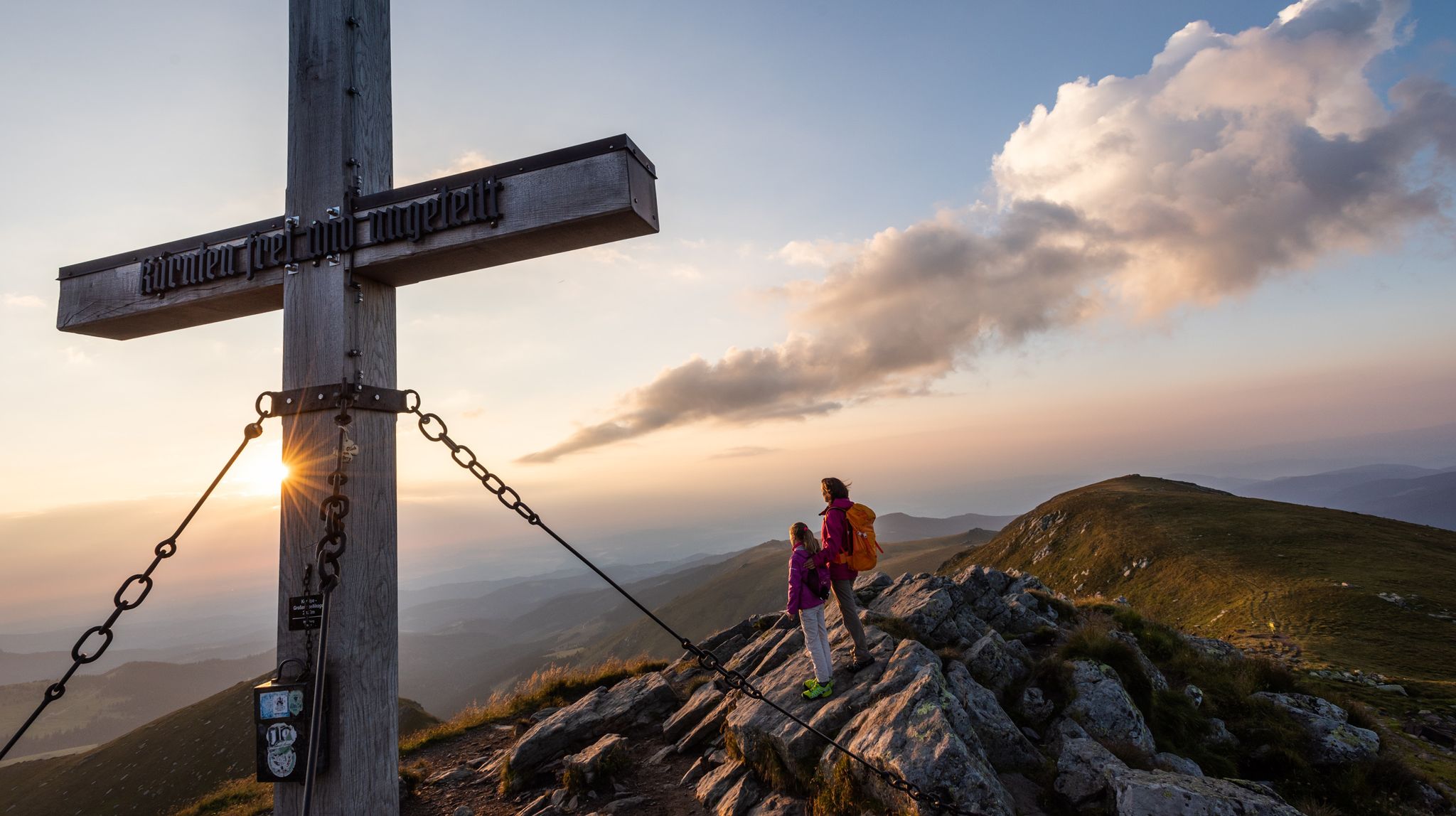
Gentle peaks with a guaranteed view —Welcome to the Lavanttal
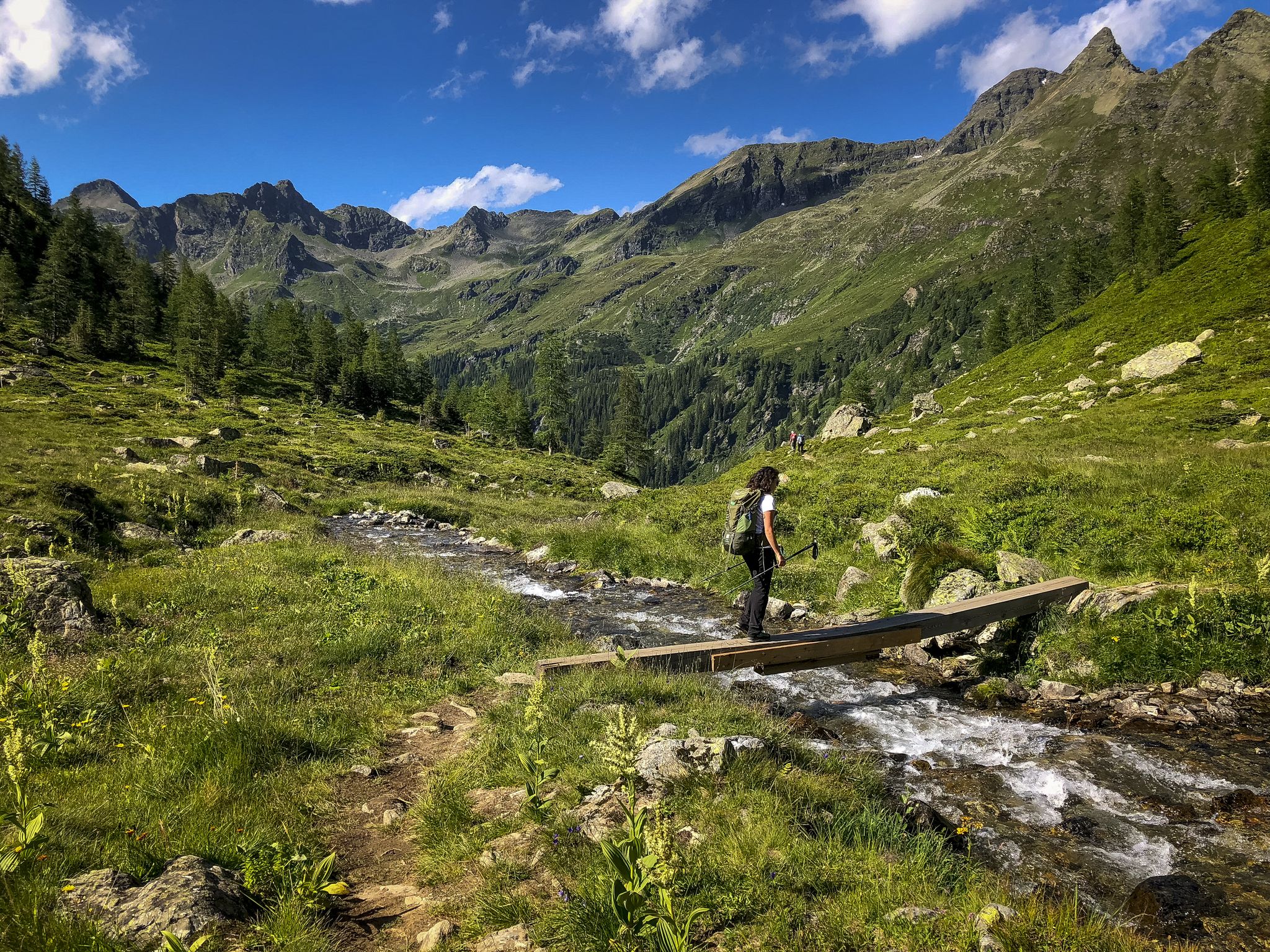
Discover Styria in Austria – Hiking the 'From Glacier to Wine' southern route
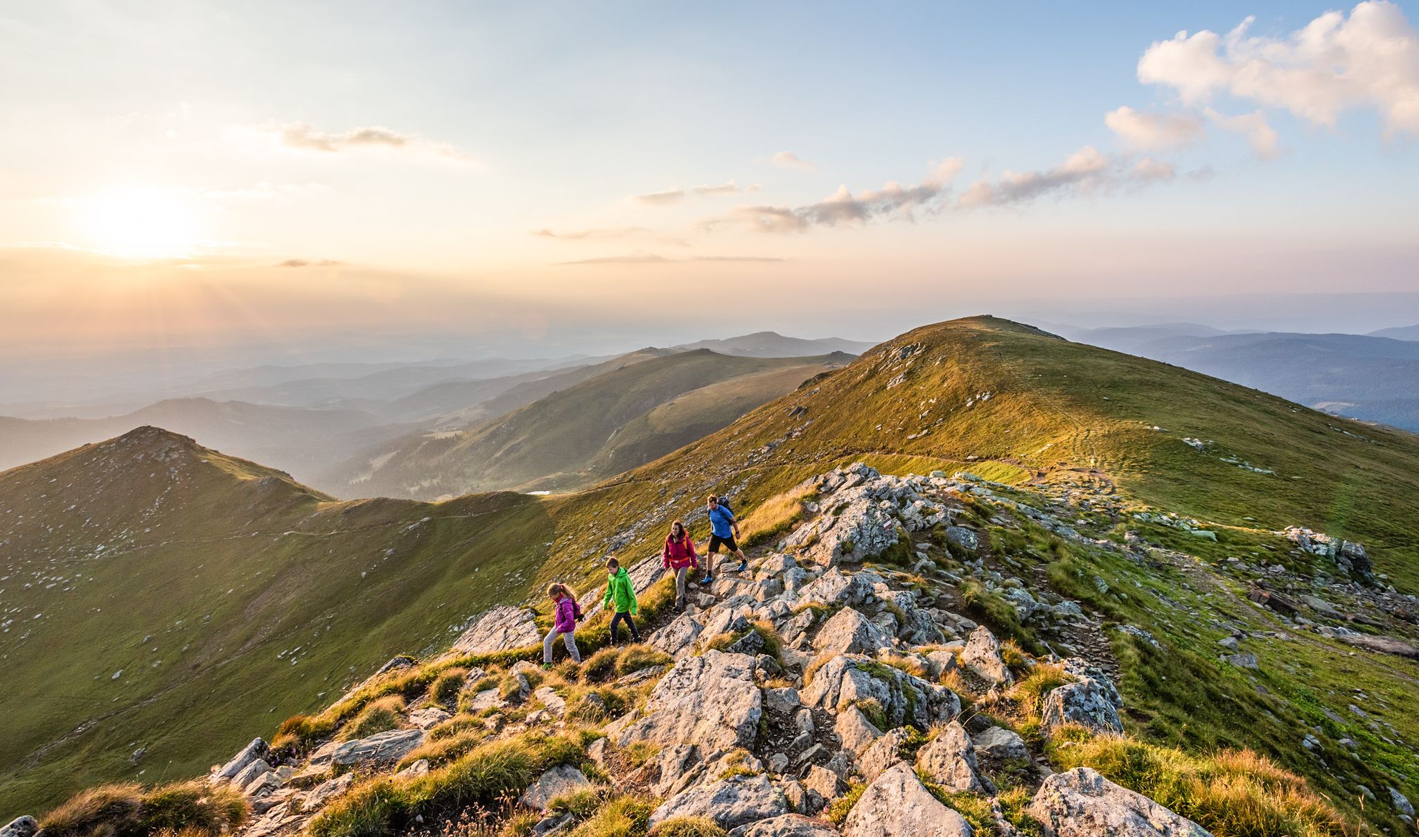
The Lavanttal — hiking on the sunny side of Carinthia
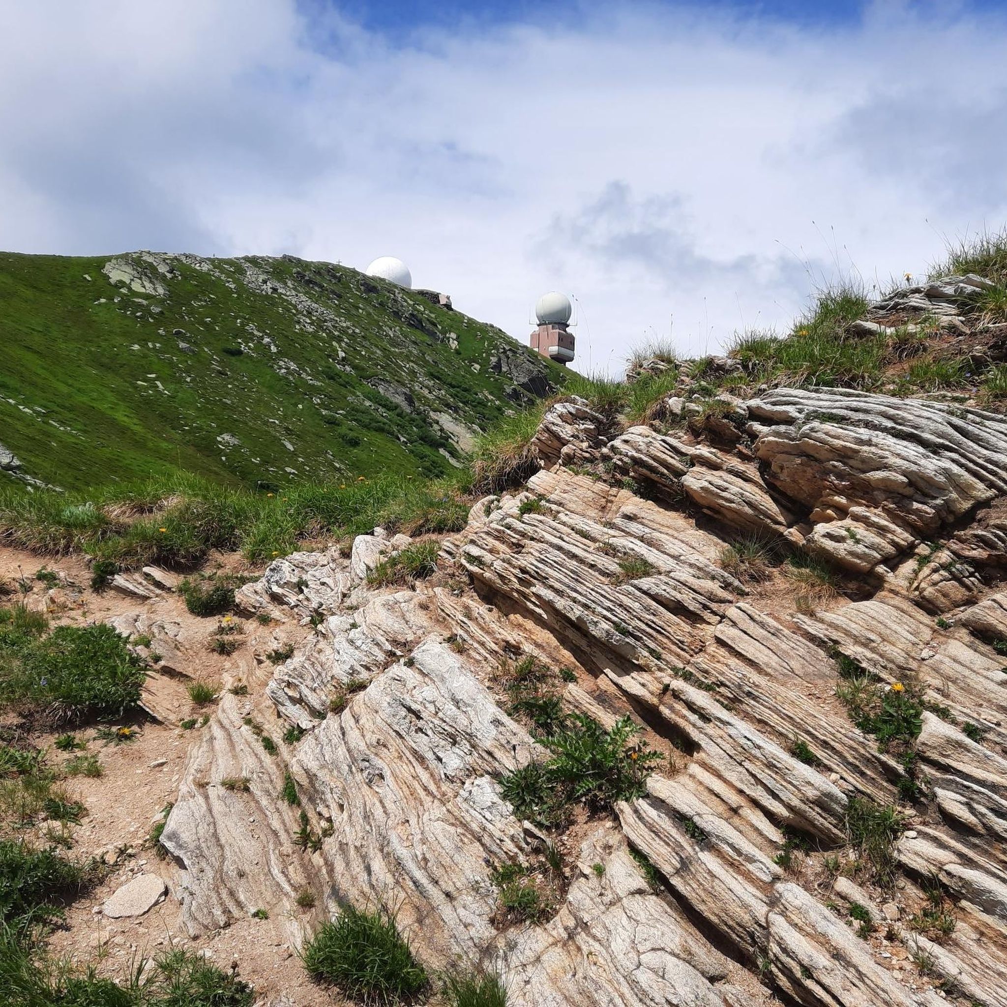
Hiking around Frantschach-Sankt Gertraud
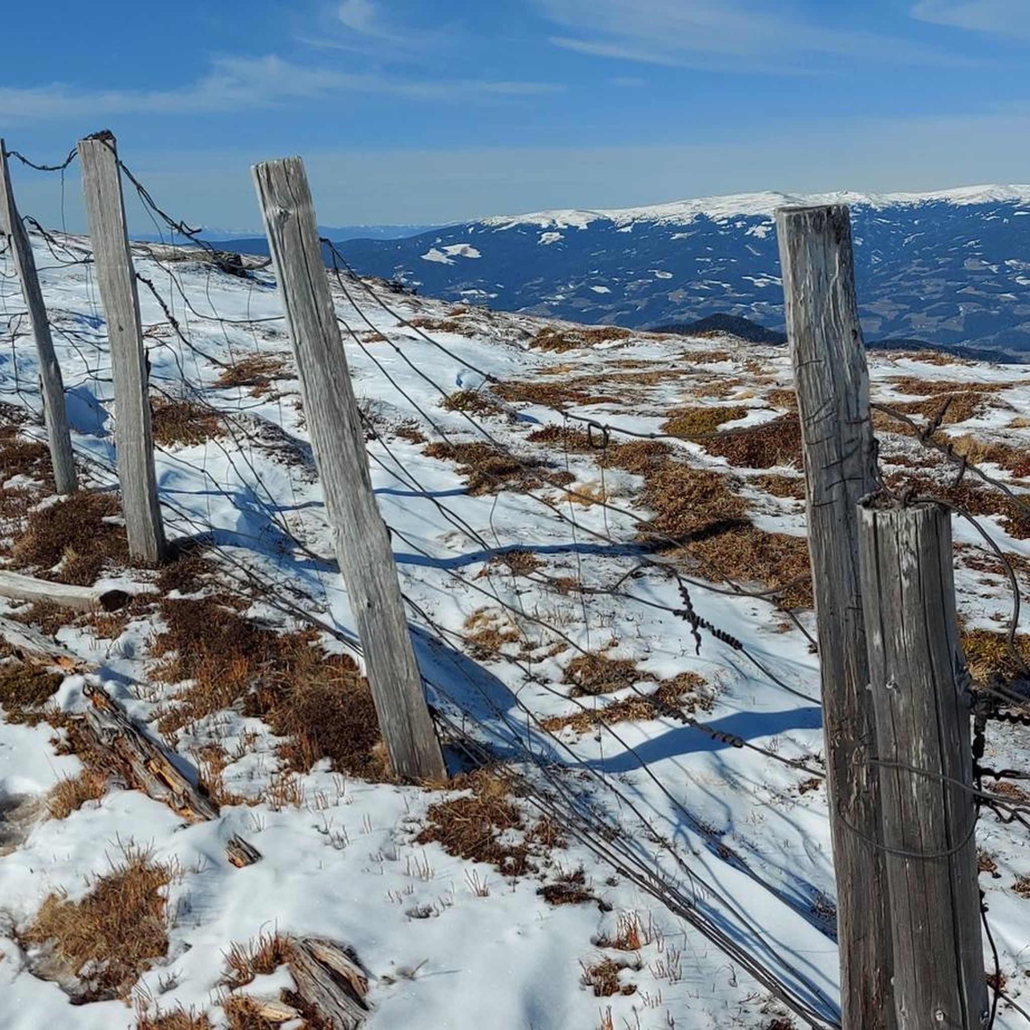
Road Cycling Routes around Frantschach-Sankt Gertraud
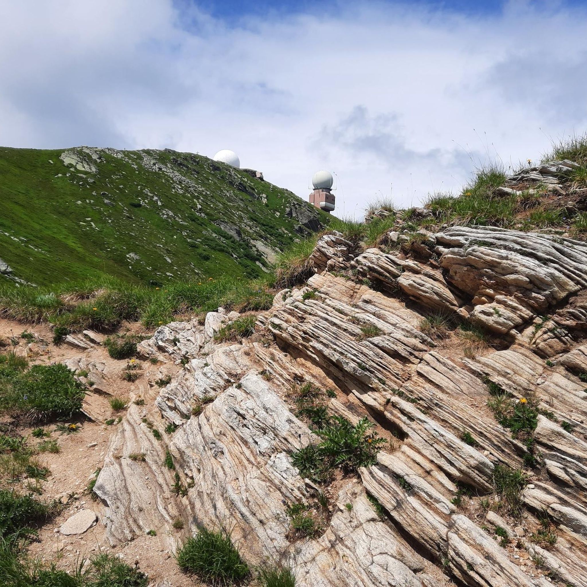
MTB Trails around Frantschach-Sankt Gertraud
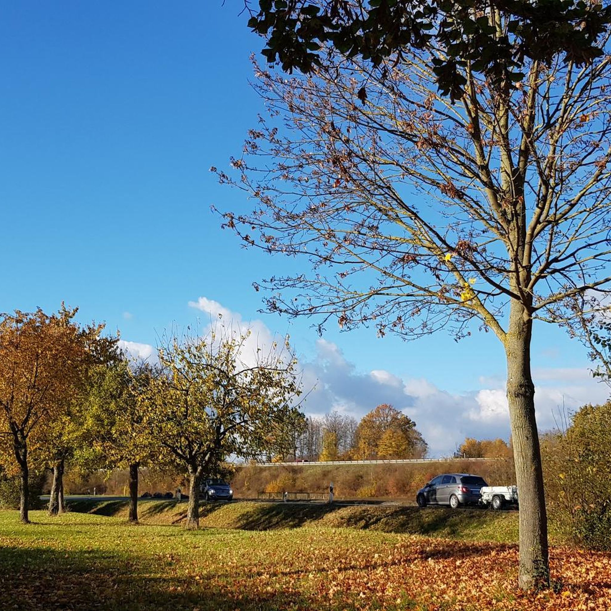
Mountain Hikes around Frantschach-Sankt Gertraud
Cycling around Frantschach-Sankt Gertraud
Other adventures around Frantschach-Sankt Gertraud


Tips from the Community

At 1,966 meters lies the Koralpenhaus, in the middle of the vast alpine meadows of the Koralpe. From the terrace, you look out over the Lavant Valley to the Karawanken mountains. The hut is staffed and was newly opened in 2021. A great resting place for hikers in summer, a starting point for various snow sports in winter. Stop for refreshments, enjoy the view, continue hiking, or even stay overnight. https://www.alpenverein.at/koralpenhaus/
1
0

The Großhöllerhütte has a great view, super service, and an excellent Jause.
0
0

Open from Thursday to Sunday in July and August.
0
0

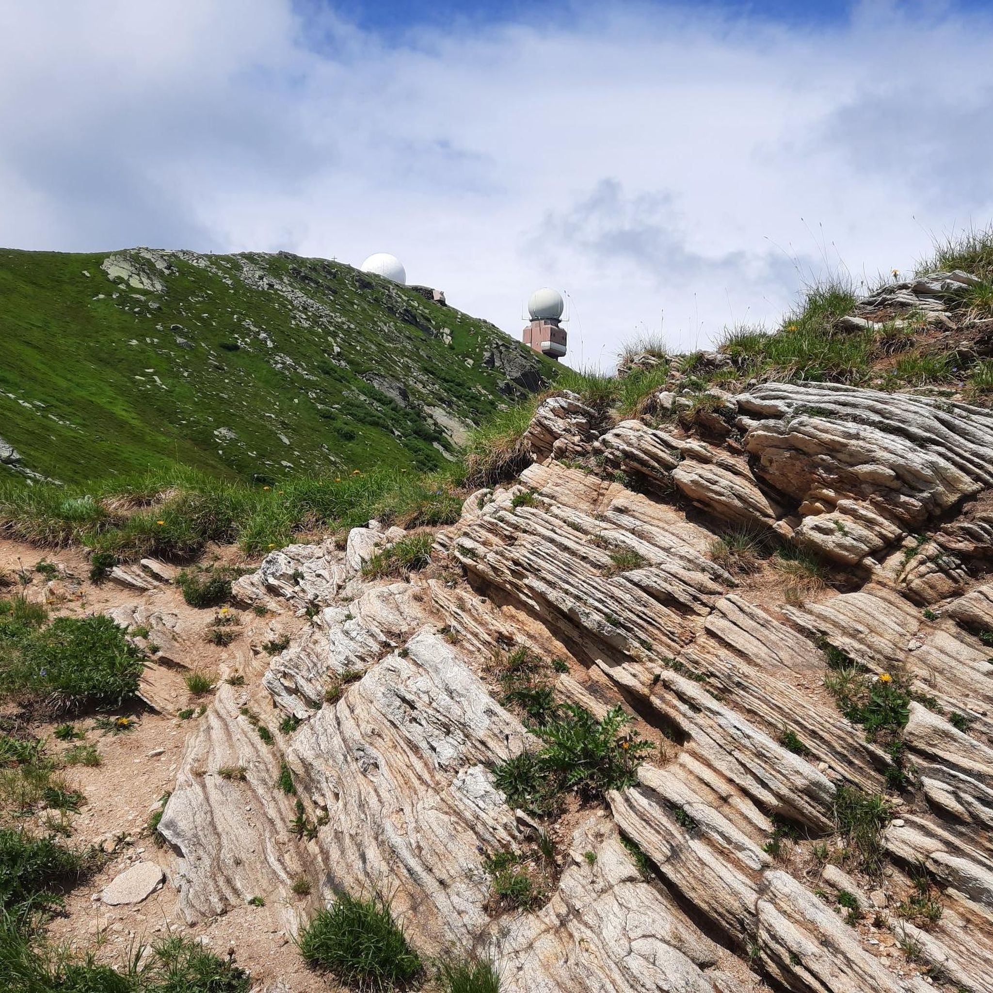
Especially beautiful in winter when the ice is horizontal at the radar station.
2
0

Nice view, an easy to reach summit. It is actually a grassy summit and there is a small collection of rocks at the top near the summit cross.
0
0

I ask the next friendly hiker who reads this beforehand to take a summit book and a new pen for the summit, because the book is unfortunately full and the pen is already very old 🖊️📒 Thank you very much!
2
0
Frequently Asked Questions
How many running routes are available in the Frantschach-Sankt Gertraud area?
There are nearly 200 running routes around Frantschach-Sankt Gertraud, offering a wide variety of options for different fitness levels and preferences. You'll find everything from easy valley runs to challenging alpine trails.
Are there any easy jogging routes suitable for beginners or a relaxed run?
Yes, Frantschach-Sankt Gertraud offers a selection of easier running routes. While many trails are moderate to difficult, there are 5 designated easy routes perfect for beginners or those looking for a less strenuous run. These often follow the valley floor or less steep forest paths.
What kind of scenery can I expect on the running trails in Frantschach-Sankt Gertraud?
The running trails in Frantschach-Sankt Gertraud offer diverse scenery, ranging from the tranquil valley floor along the Lavant River to expansive forests and elevated alpine regions. You can expect varied panoramic views, especially on routes that ascend into the Koralpe or Weinebene areas.
Are there any circular running routes in Frantschach-Sankt Gertraud?
Many of the running routes in the region are designed as loops, allowing you to start and finish at the same point. For example, the Weinebene – Großer Speikkogel Summit loop from Weinebene is a popular circular option offering alpine views.
What are some notable viewpoints or landmarks along the running routes?
The region boasts several impressive viewpoints and landmarks. Many routes offer views of the Großer Speikkogel Summit and Radar Station. Other highlights include the Weinebene mountain pass and various mountain huts like Grünanger Hut, Brendl Hut, and Knödel Hut, which can be found along or near many trails.
Can I bring my dog on the running trails in Frantschach-Sankt Gertraud?
Generally, dogs are welcome on most outdoor trails in the region. However, it's always recommended to keep your dog on a leash, especially in forested areas, near livestock, or in nature protection zones. Please be mindful of local regulations and other trail users.
Are there running routes suitable for families with children?
For families, the easier and shorter routes along the valley floor or through less challenging forest sections are most suitable. Look for trails with minimal elevation gain and well-maintained paths. While specific 'family-friendly' designations aren't always present, the 5 easy routes are a good starting point.
What do other runners say about the trails in Frantschach-Sankt Gertraud?
The running routes in Frantschach-Sankt Gertraud are highly rated by the komoot community, with an average score of 4.6 stars from over 30 reviews. Runners often praise the diverse terrain, the expansive forests, and the rewarding panoramic views from the higher elevations.
Are there any running routes that offer views of wind turbines?
Yes, if you're interested in seeing modern energy infrastructure amidst nature, some routes near the Weinebene pass offer views of wind turbines. Specifically, the View of wind turbines on the Weinebene Pass is a highlight you might encounter on trails in that area.
What are the best times of year for running in Frantschach-Sankt Gertraud?
The best times for running are typically spring, summer, and autumn. Spring offers lush greenery, summer provides warm weather for higher alpine routes, and autumn brings beautiful foliage. Winter running is possible, especially on lower-lying trails, but higher elevations may require snowshoes or be inaccessible due to snow.
Are there any challenging running routes for experienced runners?
Absolutely. Frantschach-Sankt Gertraud is home to 43 difficult running routes, many of which involve significant elevation gain and cover longer distances. Trails like the Koralpenhaus – Großer Speikkogel Summit loop from Schizentrum Koralpe offer a demanding workout with rewarding mountain scenery.
Where can I find parking for the running trails?
Parking is generally available at common starting points for trails, especially near popular areas like Weinebene or Schizentrum Koralpe. Specific parking information is often detailed on individual route pages on komoot, so it's best to check the route you plan to run for precise locations.
Most popular routes around Frantschach-Sankt Gertraud
Most popular attractions around Frantschach-Sankt Gertraud

Get inspired with the komoot mobile app


Explore more
Browse the best Running Trails & Routes in other regions.
