The best mountain hikes around Frantschach-Sankt Gertraud
4.9
(6)
170
hikers
9
hikes
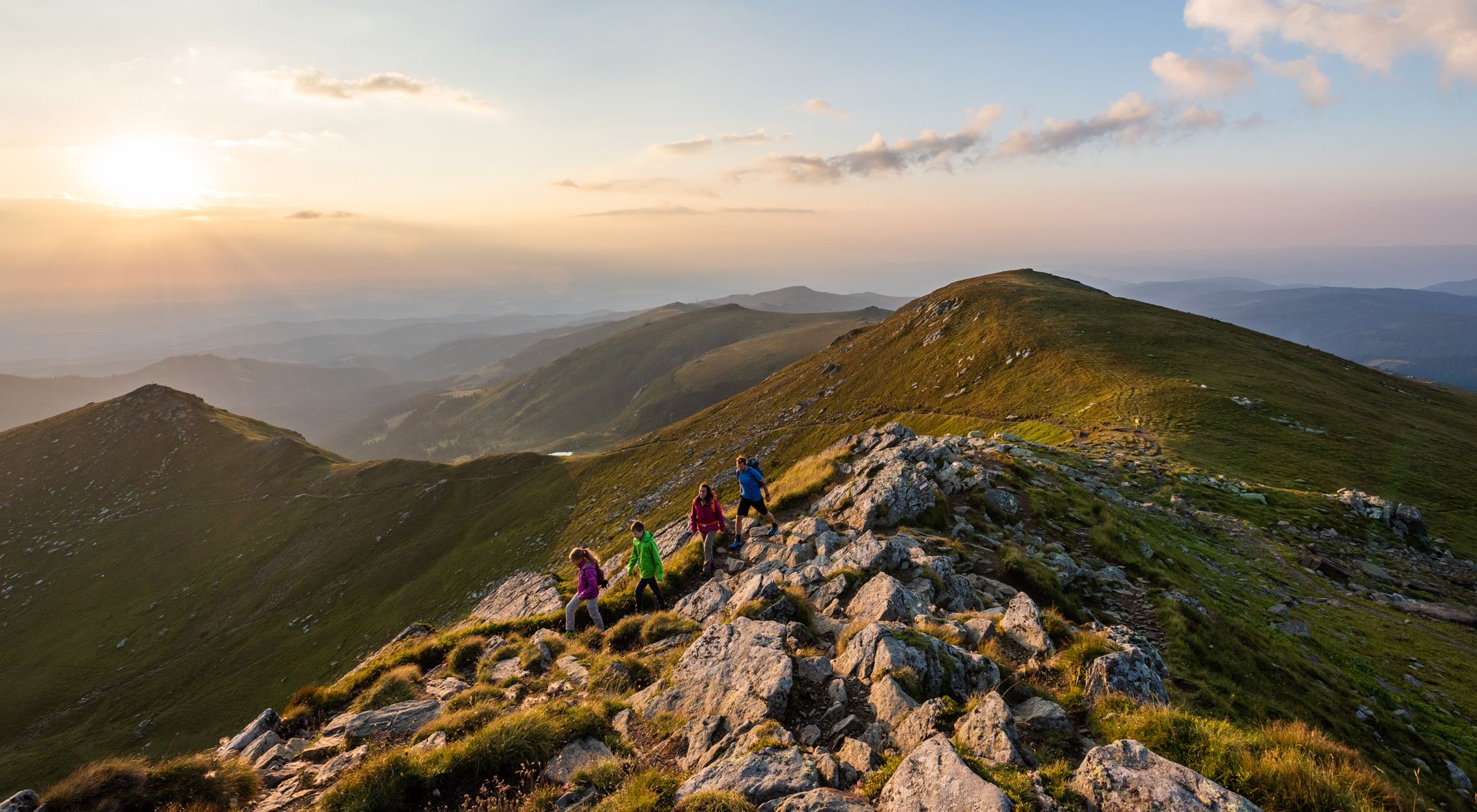
Mountaineering routes around Frantschach-Sankt Gertraud traverse diverse landscapes, primarily defined by the Koralpe mountain range and the Weinebene region. The terrain features extensive forests, elevated plateaus up to 1,900 meters, and panoramic viewpoints. The region offers varied ascents and descents, with routes often leading to prominent summits like Großer Speikkogel.
Best mountaineering routes around Frantschach-Sankt Gertraud
- The most popular mountaineering route is Cattle Pasture – Großer Speikkogel Summit loop from Burgstallofen, a 7.0 miles (11.2 km) trail that takes…
Last updated: July 9, 2026
4.7
(3)
55
hikers
11.2km
03:53
640m
640m
Moderate mountaineering route. Good fitness required. Mostly accessible paths. Sure-footedness required.
33
hikers
14.1km
05:02
710m
700m
Hard mountaineering route. Very good fitness required. Mostly accessible paths. Sure-footedness required.

Sign up for free
32
hikers
15.4km
05:23
640m
640m
Hard mountaineering route. Very good fitness required. Sure-footedness, sturdy shoes and alpine experience required.
5.0
(2)
19
hikers
12.8km
04:28
590m
590m
Moderate mountaineering route. Good fitness required. Mostly accessible paths. Sure-footedness required.
15
hikers
7.81km
02:47
480m
480m
Moderate mountaineering route. Good fitness required. Easily-accessible paths. Suitable for all skill levels.
Get access to more routes and recommendations from other explorers.
Sign up for free
Already have an account?
Our route recommendations are based on thousands of hikes, rides, and runs completed by other people on komoot.
Start today with a free account
Your next adventure awaits.
Login or Signup
Popular around Frantschach-Sankt Gertraud
9 days of relaxation and wonder in Austria – Lavant Valley Trail
Gentle peaks with a guaranteed view —Welcome to the Lavanttal
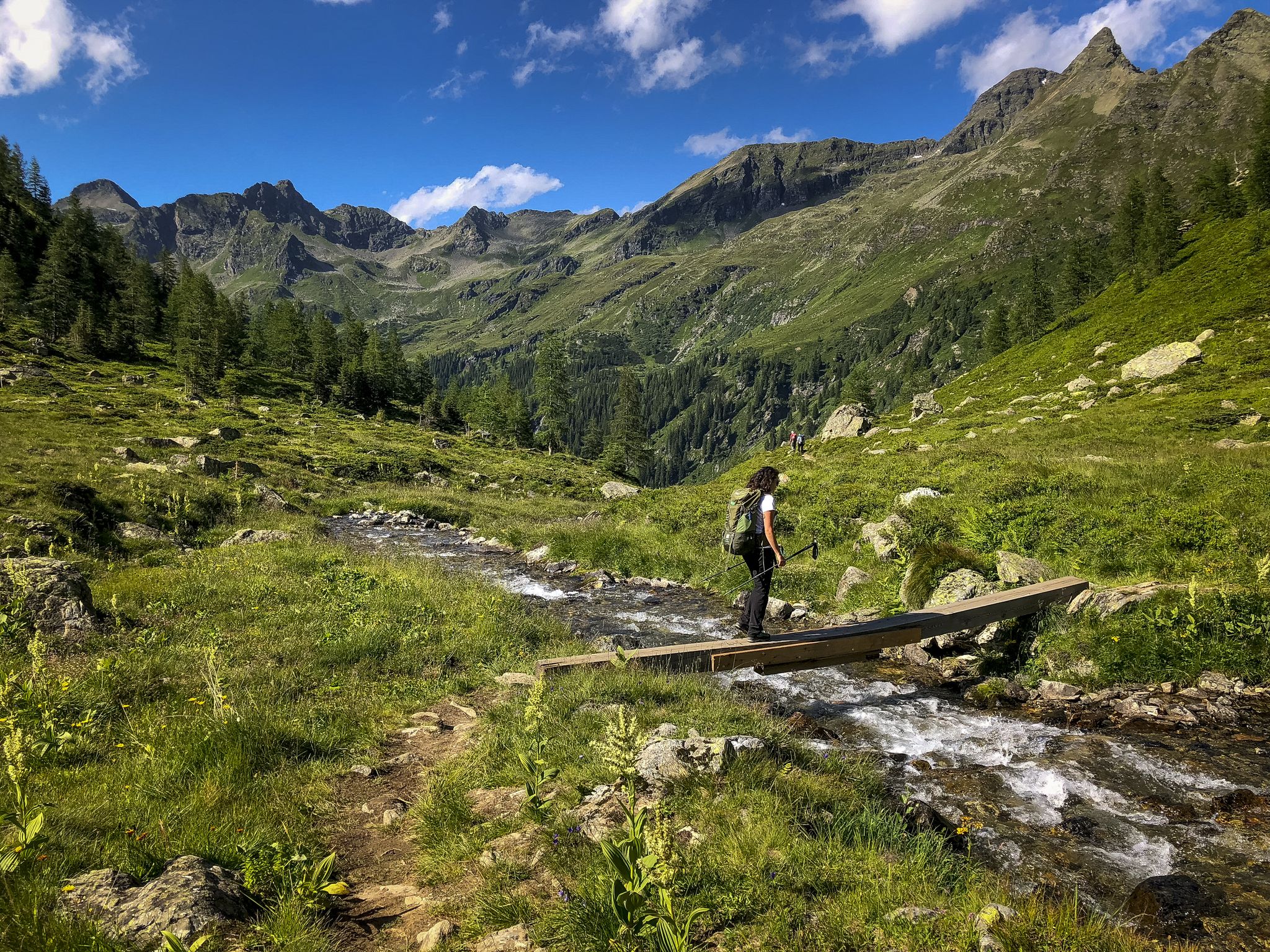
Discover Styria in Austria – Hiking the 'From Glacier to Wine' southern route
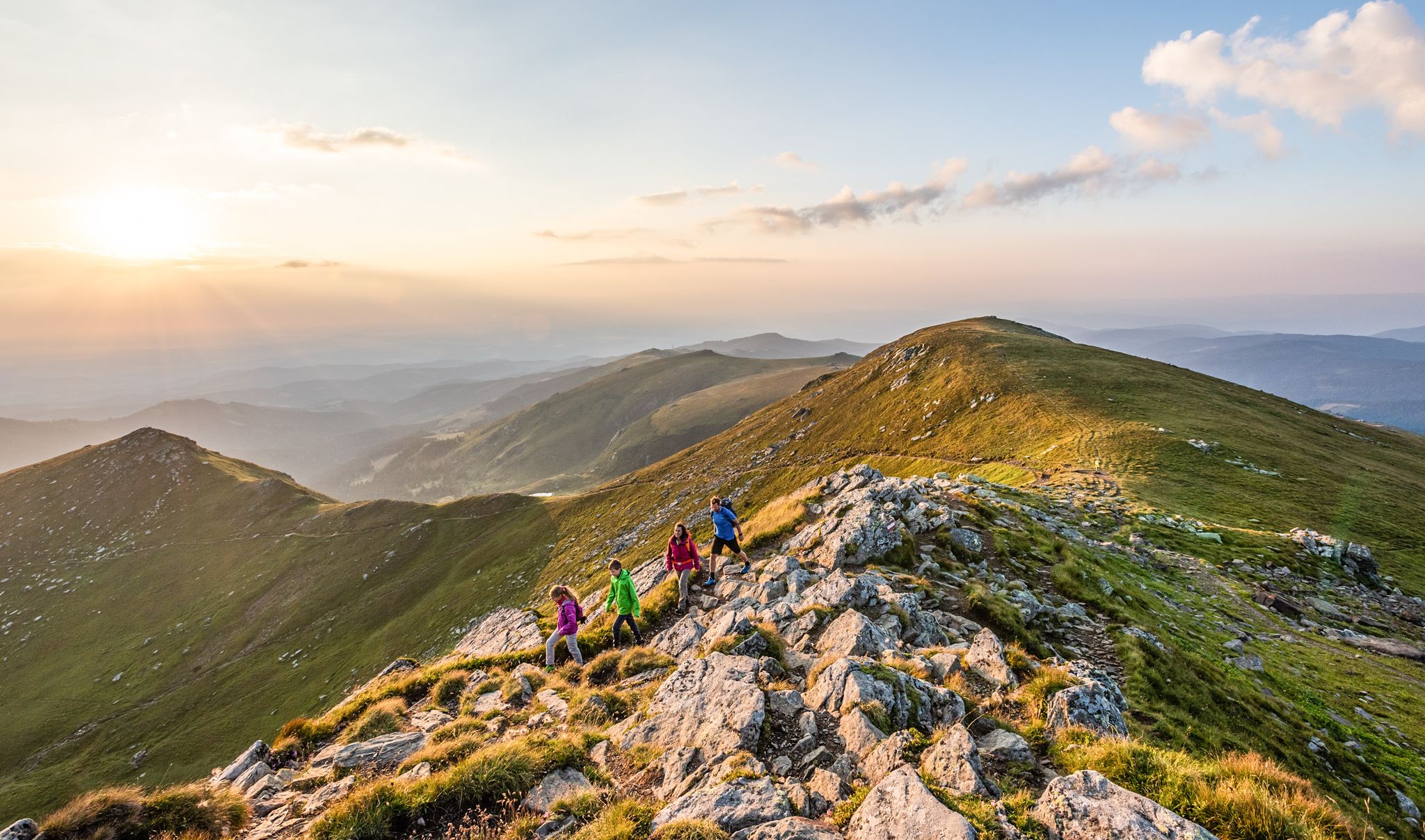
The Lavanttal — hiking on the sunny side of Carinthia
Hiking around Frantschach-Sankt Gertraud
Road Cycling Routes around Frantschach-Sankt Gertraud
Running Trails around Frantschach-Sankt Gertraud
Cycling around Frantschach-Sankt Gertraud
MTB Trails around Frantschach-Sankt Gertraud
Other adventures around Frantschach-Sankt Gertraud


Tips from the Community

The Großhöllerhütte has a great view, super service, and an excellent Jause.
0
0

5€/day you can pay with bank card
1
0

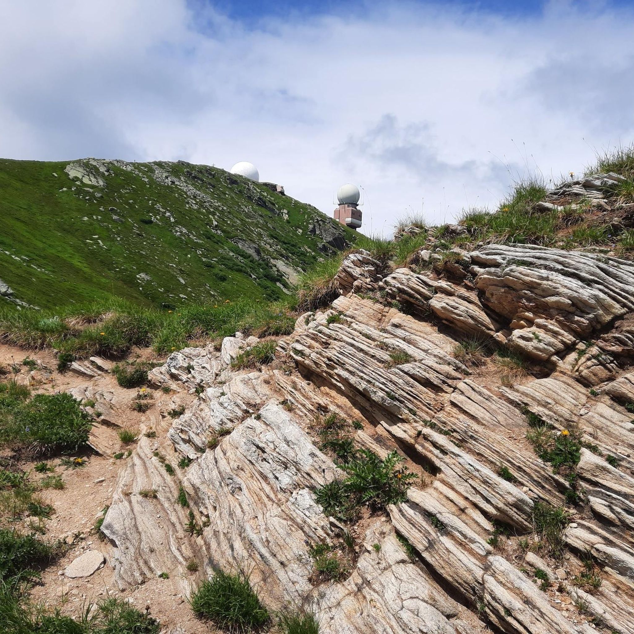
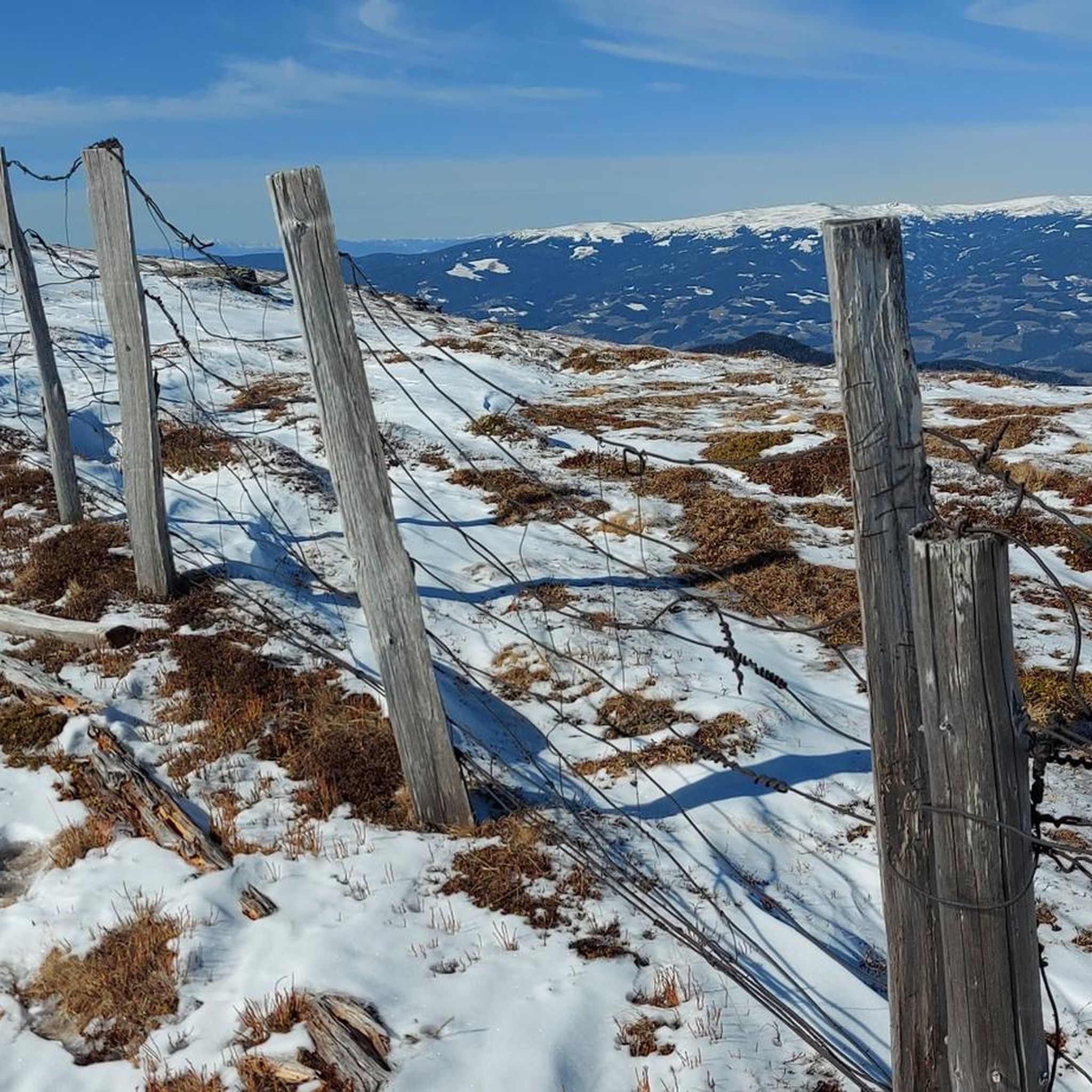
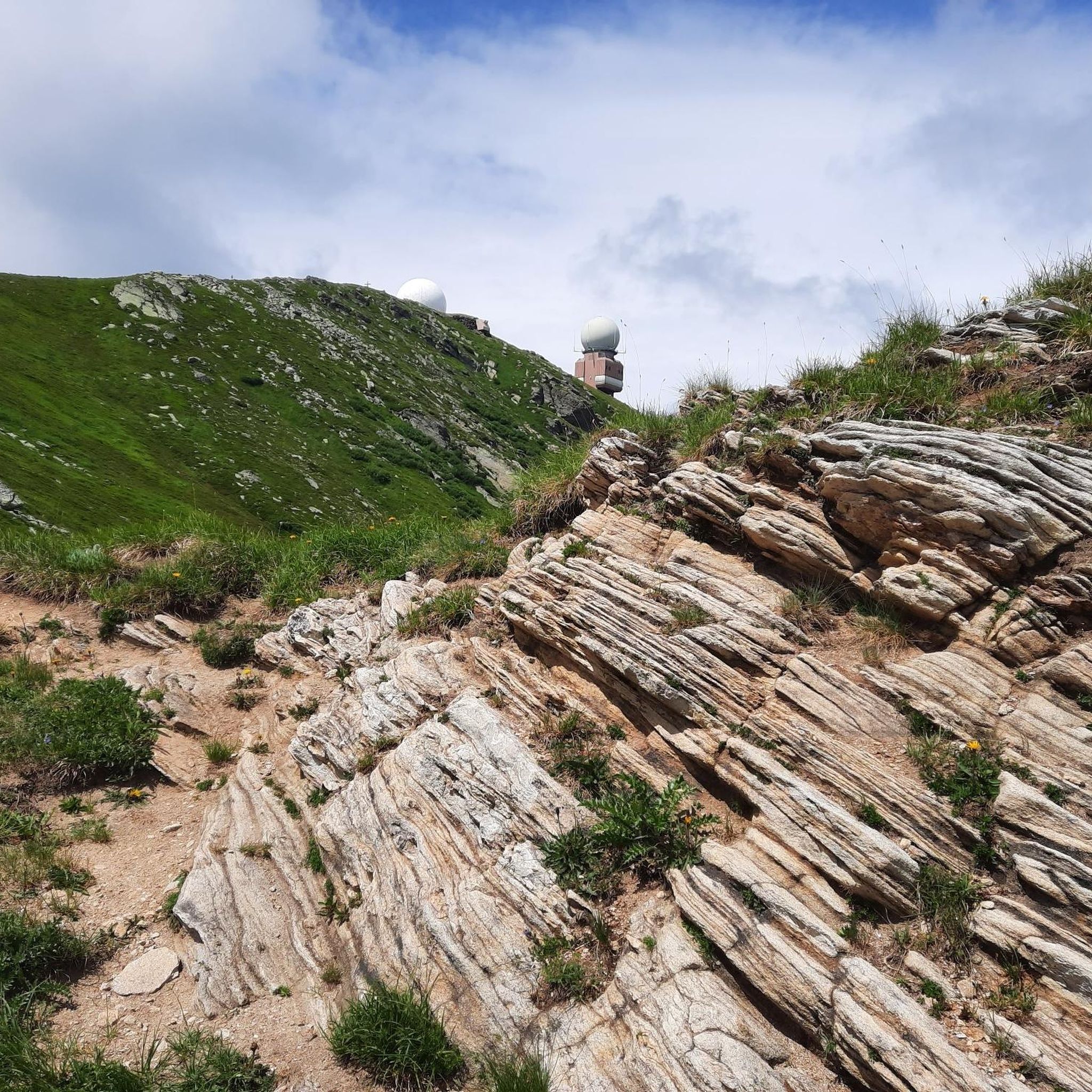
Especially beautiful in winter when the ice is horizontal at the radar station.
2
0

I ask the next friendly hiker who reads this beforehand to take a summit book and a new pen for the summit, because the book is unfortunately full and the pen is already very old 🖊️📒 Thank you very much!
2
0
I ask the next friendly hiker who reads this beforehand to take a summit book and a new pen for the summit, because the book is unfortunately full and the pen is already very old 🖊️📒 Thank you very much!
9
1
Simply feed the navigation device with the following data. The parking lot is about 100 meters before these addresses. 🧭 9431 Wolfsberg Hartelsberg 76 or Hartelsberg 73
7
0
A parking lot with plenty of parking options 🅿️ The fee for one calendar day is 5 euros 💶 Payable with the card at the parking machine 💳
10
0
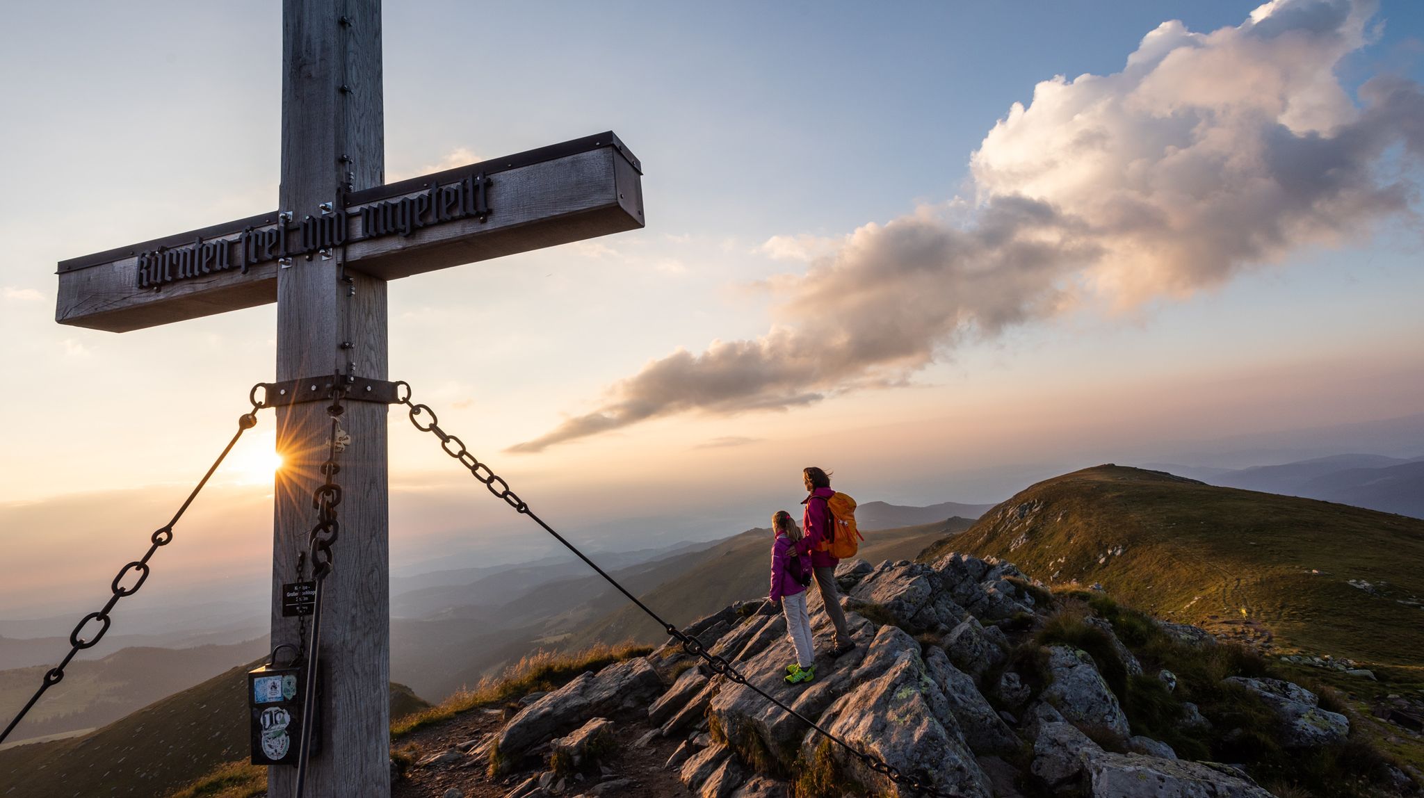
The summit cross collapsed in January 2014 due to heavy snow and ice loads. On June 6, 2014, the cross was re-erected in its old form made of oak wood and was ceremoniously inaugurated on July 5, 2014 by Dean Engelbert Hofer and Pastor Eugen Länger ✝️ http://www.kleindenkmaeler.at/detail/gipfelkreuz_grosser_speikkogel
8
0
Frequently Asked Questions
What kind of terrain can I expect on mountaineering routes around Frantschach-Sankt Gertraud?
The mountaineering routes in Frantschach-Sankt Gertraud primarily traverse the Koralpe mountain range and the Weinebene region. You'll find extensive forests, elevated plateaus reaching up to 1,900 meters above sea level, and numerous panoramic viewpoints. The trails offer a mix of varied ascents and descents, often leading to prominent summits like Großer Speikkogel.
Are there any circular mountaineering routes available in the region?
Yes, many routes in Frantschach-Sankt Gertraud are designed as loops. For example, you could try the Cattle Pasture – Großer Speikkogel Summit loop from Burgstallofen, a moderate 11.2 km tour, or the more challenging Bärentalhütte – Großer Speikkogel Summit loop from Weinebene, which covers 15.4 km.
What are the difficulty levels of mountaineering routes in Frantschach-Sankt Gertraud?
The routes around Frantschach-Sankt Gertraud cater to both moderate and difficult ability levels. There are 5 moderate routes and 4 difficult routes available, offering options for various experience levels.
Are there any waterfalls or other natural features to see along the mountaineering trails?
Yes, the region boasts beautiful natural features. The Poms Waterfall – Großer Speikkogel Summit loop from Burgstallofen specifically includes the scenic Pomswasserfall. You can also find other natural highlights like the Weinebene mountain pass, known for its stunning panoramic views.
What historical or cultural landmarks can I explore near the mountaineering routes?
Beyond the natural beauty, you can explore historical sites. The Ore Hiking Trail (Erzwanderweg), for instance, starts at the historic Blast Furnace "Hammer" and leads past old mining sites. Additionally, there are several castles nearby, such as Thürn Castle and the Gomarn Castle Ruins, which offer a glimpse into the region's past.
What do other mountaineers say about the routes in Frantschach-Sankt Gertraud?
The mountaineering routes in Frantschach-Sankt Gertraud are highly regarded by the komoot community, holding an average rating of 5.0 stars from more than 6 reviews. Over 170 mountaineers have already explored this varied terrain, often praising the well-maintained paths and the rewarding summit experiences.
Can I reach the starting points of these routes using public transport?
While specific public transport details for each trailhead are best checked locally, Frantschach-Sankt Gertraud is generally accessible. For detailed information on reaching trailheads, it's advisable to consult local transport schedules or the official Visit Carinthia website for the region.
Are there any shorter, moderate mountaineering options for a quicker outing?
If you're looking for a shorter, moderate option, consider the Cattle Pasture – Koralpenhaus loop from Burgstallofen. This route is approximately 7.8 km long and typically takes around 2 hours and 47 minutes to complete, offering a rewarding experience without requiring a full day.
What are some prominent summits or viewpoints I can reach?
Many routes lead to the prominent Großer Speikkogel Summit, which often includes a radar station. Other notable peaks and viewpoints in the area include Handalm Summit and the Loskogel Summit Cross, all offering expansive panoramic views.
Is the region suitable for mountaineering with dogs?
Frantschach-Sankt Gertraud, with its extensive forests and open landscapes, is generally welcoming for outdoor activities with dogs. However, it's always recommended to keep dogs on a leash, especially in areas with livestock or wildlife, and to check specific trail regulations before you go.
What is the best time of year for mountaineering in Frantschach-Sankt Gertraud?
The region is popular year-round, but for mountaineering, late spring through early autumn typically offers the most favorable conditions with clear trails and pleasant temperatures. The Weinebene region, for example, is a popular attraction throughout the year, suggesting good conditions for hiking and mountaineering during warmer months.
Are there any routes that combine a summit experience with a visit to a natural landmark?
Yes, the Großer Speikkogel Summit – Poms Waterfall loop from Schizentrum Koralpe is an excellent choice. This moderate 12.8 km route allows you to experience the summit of Großer Speikkogel and also visit the scenic Pomswasserfall along the way.
Most popular routes around Frantschach-Sankt Gertraud
Most popular attractions around Frantschach-Sankt Gertraud

Get inspired with the komoot mobile app


Explore more
Browse the best Mountain Hikes & Routes in other regions.
