The best running trails in the Hsuen Mountains
4.3
(169)
7,738
runners
320
runs
Jogging routes in the Hsuen Mountains offer diverse landscapes, from urban park trails to more challenging mountain paths. The region features varied terrain, including elevations ranging from 200 to 1120 meters, providing options for different running preferences. Natural features such as waterfalls and scenic viewpoints are present throughout the area. This variety allows for both leisurely runs and strenuous ascents.
Best jogging routes in the Hsuen Mountains
- The most popular jogging route is Chiang Kai-shek Memorial Hall – Lin Sen…
Last updated: June 24, 2026
754
runners
Hard run. Very good fitness required. Mostly paved surfaces. Suitable for all skill levels.
542
runners
22.1km
02:17
110m
110m
Hard run. Very good fitness required. Mostly paved surfaces. Suitable for all skill levels.

Sign up for free
315
runners
22.6km
02:20
80m
80m
Hard run. Very good fitness required. Mostly paved surfaces. Suitable for all skill levels.
5.0
(2)
310
runners
Hard run. Very good fitness required. Mostly paved surfaces. Suitable for all skill levels.
5.0
(1)
308
runners
14.2km
01:28
60m
60m
Moderate run. Good fitness required. Mostly paved surfaces. Suitable for all skill levels.
5.0
(2)
226
runners
Hard run. Very good fitness required. Mostly paved surfaces. Suitable for all skill levels.
160
runners
9.88km
01:02
40m
40m
Moderate run. Good fitness required. Mostly paved surfaces. Suitable for all skill levels.
5.0
(1)
153
runners
Moderate run. Good fitness required. Mostly paved surfaces. Suitable for all skill levels.
171
runners
34.9km
03:36
150m
150m
Hard run. Very good fitness required. Mostly paved surfaces. Suitable for all skill levels.
160
runners
15.0km
01:33
50m
50m
Hard run. Very good fitness required. Mostly paved surfaces. Suitable for all skill levels.
Get access to more routes and recommendations from other explorers.
Sign up for free
Already have an account?
Our route recommendations are based on thousands of hikes, rides, and runs completed by other people on komoot.
Start today with a free account
Your next adventure awaits.
Login or Signup
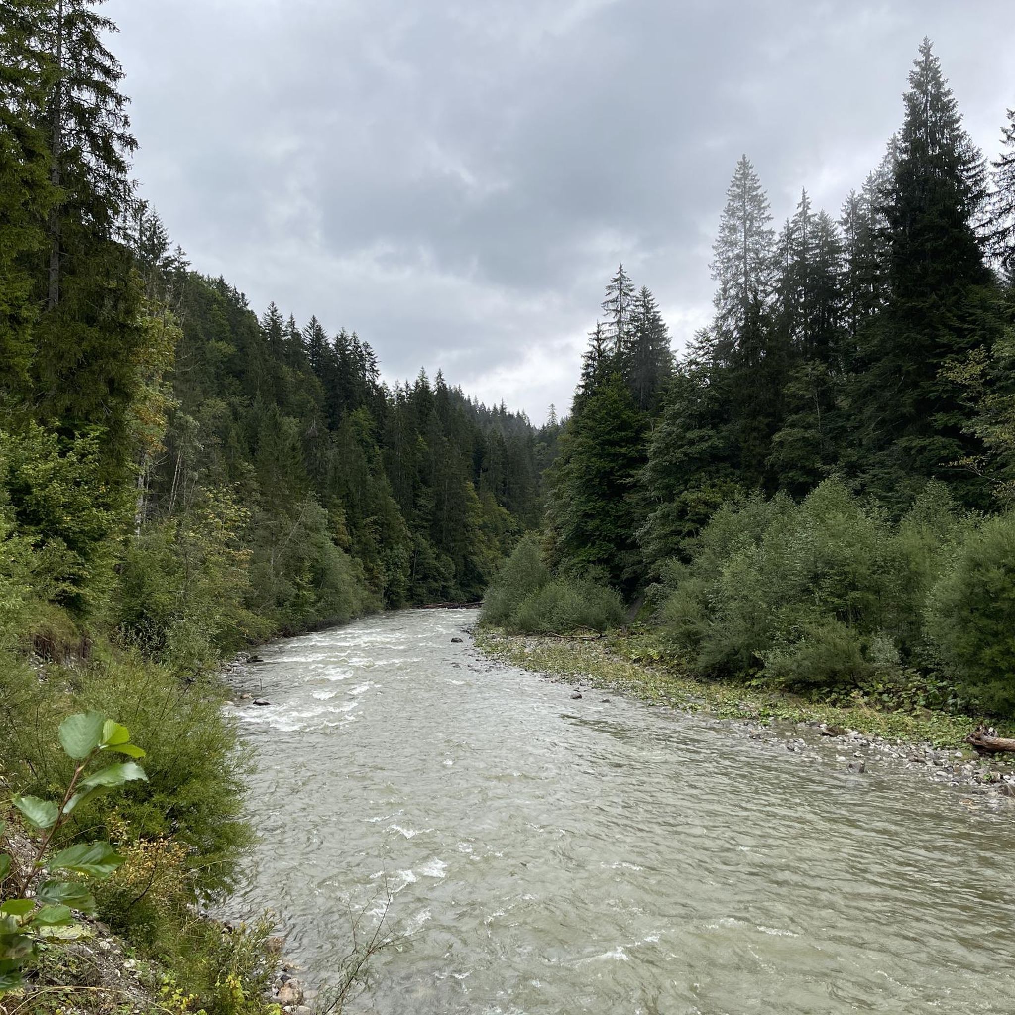
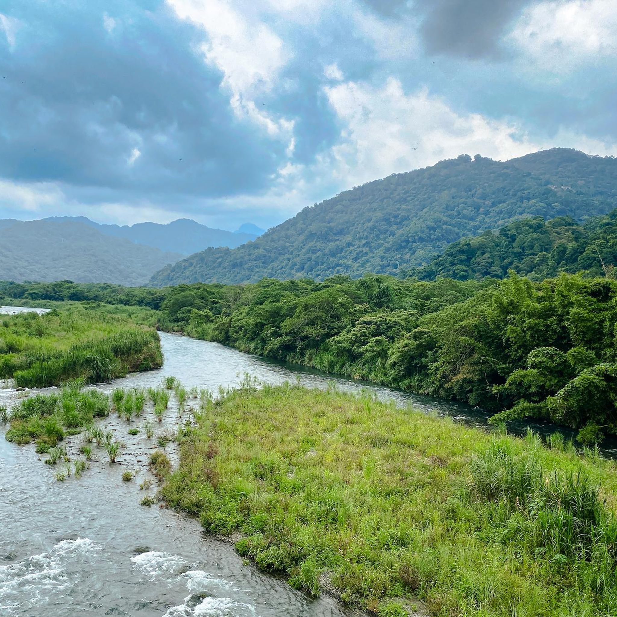
Other adventures in the Hsuen Mountains

Tips from the Community


Differently communicated even in bad weather:
1
0
The memorial hall was built between 1976 and 1980 and opened on the occasion of the 5th anniversary of Chiang Kai-shek's death. In 2006, it was renamed the "National Taiwan Democracy Memorial Hall". In 2009, after an election victory by the nationalist Kuomintang, it was renamed.
2
0


Louis – Europe's No. 1 for motorcycle clothing and technology. Anyone who rides a motorcycle knows Louis and should definitely stop by here😎👍
3
0
Perfect for running or cycling, with a great view of the river and the bridge.
4
0
Quiet park with good walking paths and several pavilions. In memory of the uprising of February 28, 1947, the existing landscape park "Taihoku Park" was renamed the "228 Peace Memorial Park" in 1996.
4
0
Very small park with a large statue of former President Lin Sen. Right next to the 228 Peace Memorial Park.
4
0
Frequently Asked Questions
How many running routes are available in the Hsuen Mountains?
The Hsuen Mountains offer a wide selection of running routes, with over 400 trails documented on komoot. This includes a mix of easy, moderate, and difficult options to suit various fitness levels.
What kind of terrain can I expect on jogging routes in the Hsuen Mountains?
Jogging in the Hsuen Mountains provides diverse terrain, ranging from urban park trails to more challenging mountain paths. You'll find routes with elevations varying between 200 and 1120 meters, offering everything from leisurely runs to strenuous ascents. The region is known for its scenic views, including sea vistas, mountainous backdrops, and lush natural surroundings.
Are there any easy or beginner-friendly jogging routes in the Hsuen Mountains?
Yes, for those seeking a less strenuous run, there are over 20 easy jogging routes available in the Hsuen Mountains. These paths are generally flatter and shorter, perfect for beginners or a relaxed outing.
Can I find challenging running trails in the Hsuen Mountains?
Absolutely. The Hsuen Mountains are home to nearly 180 difficult running routes, offering significant challenges for experienced runners. These trails often feature substantial elevation gains and longer distances, such as the Chiang Kai-shek Memorial Hall – Lin Sen Statue, Jieshou Park loop from 台北101/世貿, which covers over 36 km.
What are some notable natural features or landmarks I might see while running in the Hsuen Mountains?
The region is rich in natural beauty and landmarks. Runners can enjoy views of Teapot Mountain, known for its sea and mountain vistas, or explore areas like the Sandiaoling Waterfall Trail, which features wonderful waterfalls. Other prominent peaks include Qixing Main Peak (1,120 m) and Banpingshan Ridge, offering panoramic views.
Are there any running routes that pass by hot springs or geothermal activity?
Yes, the Hsuen Mountains region, particularly around Yangmingshan National Park, is known for its geothermal activity. While specific jogging routes directly through hot springs might be limited, the park itself, accessible by public transport, features 13 hot springs and fumaroles. A strenuous jog or hike up Qixing Main Peak within the park offers a chance to experience this unique environment.
What do other runners think about the trails in the Hsuen Mountains?
The running routes in the Hsuen Mountains are highly regarded by the komoot community, boasting an average rating of 4.2 stars from over 240 reviews. More than 9,000 runners have explored the varied terrain, often praising the diverse landscapes and scenic views available.
Are there any circular jogging routes in the Hsuen Mountains?
Yes, many of the jogging routes in the Hsuen Mountains are designed as loops, offering convenient circular paths. Examples include the 台北健森房 loop from 台電大樓, a moderate 7.6 km route, and the Keelung River Graffiti Wall loop from 大直, a longer 22.6 km option.
Can I find running routes with good viewpoints in the Hsuen Mountains?
Absolutely. The Hsuen Mountains are renowned for their scenic vistas. Many routes offer stunning viewpoints, such as those around Teapot Mountain and Banpingshan Ridge, which provide expansive views of the sea and surrounding mountains. Even urban routes like the Rainbow Bridge loop from 松山 offer picturesque cityscapes and river views.
Are there any specific trails known for waterfalls in the Hsuen Mountains?
Yes, the Hsuen Mountains are noted for their waterfalls. The Sandiaoling Waterfall Trail, in particular, is highlighted as one of the most beautiful tours in the region, featuring wonderful waterfalls and a more natural running surface compared to typical 'Chinese stairs'.
Are there running routes suitable for families in the Hsuen Mountains?
While specific 'family-friendly' designations are not always explicit, many of the easier and moderate routes, especially those in urban park areas or with well-maintained paths, can be suitable for families. Consider shorter, less challenging loops like the 台北健森房 – 生態池 loop from 六張犁 for a more relaxed family run.
Most popular routes in the Hsuen Mountains
Most popular attractions in the Hsuen Mountains

Get inspired with the komoot mobile app


Explore more
Browse the best Running Trails & Routes in other regions.
