The best road cycling routes in the Hsuen Mountains
4.3
(476)
13,484
riders
267
rides
Road cycling in the Hsuen Mountains offers diverse topography, featuring jagged peaks, dramatic coastlines, and well-paved roads. The region is characterized by extensive hilly and mountainous terrain, with numerous peaks providing varied elevation changes. Road cyclists can find routes that wind through these landscapes, from gradual ascents to challenging climbs. The area provides an extensive network of roads suitable for road cycling.
Best road cycling routes in the Hsuen Mountains
- The most popular road cycling route is Dadaocheng Pier Plaza…
Last updated: July 8, 2026
3.9
(16)
701
riders
104km
04:40
870m
870m
Moderate road ride. Good fitness required. Mostly well-paved surfaces and easy to ride.
3.1
(38)
463
riders
46.0km
01:53
150m
150m
Easy road ride. Great for any fitness level. Mostly well-paved surfaces and easy to ride.

Sign up for free
4.4
(28)
406
riders
47.3km
02:18
140m
140m
Moderate road ride. Good fitness required. Mostly well-paved surfaces and easy to ride.
3.0
(1)
326
riders
88.6km
05:20
2,170m
2,170m
Hard road ride. Very good fitness required. Mostly well-paved surfaces and easy to ride.
4.9
(16)
325
riders
58.4km
03:04
800m
800m
Moderate road ride. Good fitness required. Mostly well-paved surfaces and easy to ride.
4.6
(8)
307
riders
44.8km
02:02
140m
140m
Moderate road ride. Good fitness required. Mostly well-paved surfaces and easy to ride.
5.0
(6)
296
riders
32.1km
01:55
670m
670m
Moderate road ride. Good fitness required. Mostly well-paved surfaces and easy to ride.
4.1
(23)
321
riders
41.0km
01:59
150m
150m
Easy road ride. Great for any fitness level. Mostly well-paved surfaces and easy to ride.
3.8
(9)
279
riders
30.2km
01:13
110m
110m
Easy road ride. Great for any fitness level. Mostly well-paved surfaces and easy to ride.
3.0
(1)
248
riders
108km
05:29
1,390m
1,390m
Hard road ride. Very good fitness required. Mostly well-paved surfaces and easy to ride.
Get access to more routes and recommendations from other explorers.
Sign up for free
Already have an account?
Our route recommendations are based on thousands of hikes, rides, and runs completed by other people on komoot.
Start today with a free account
Your next adventure awaits.
Login or Signup
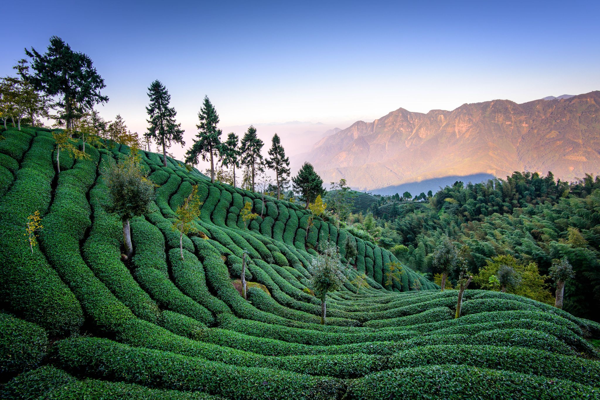
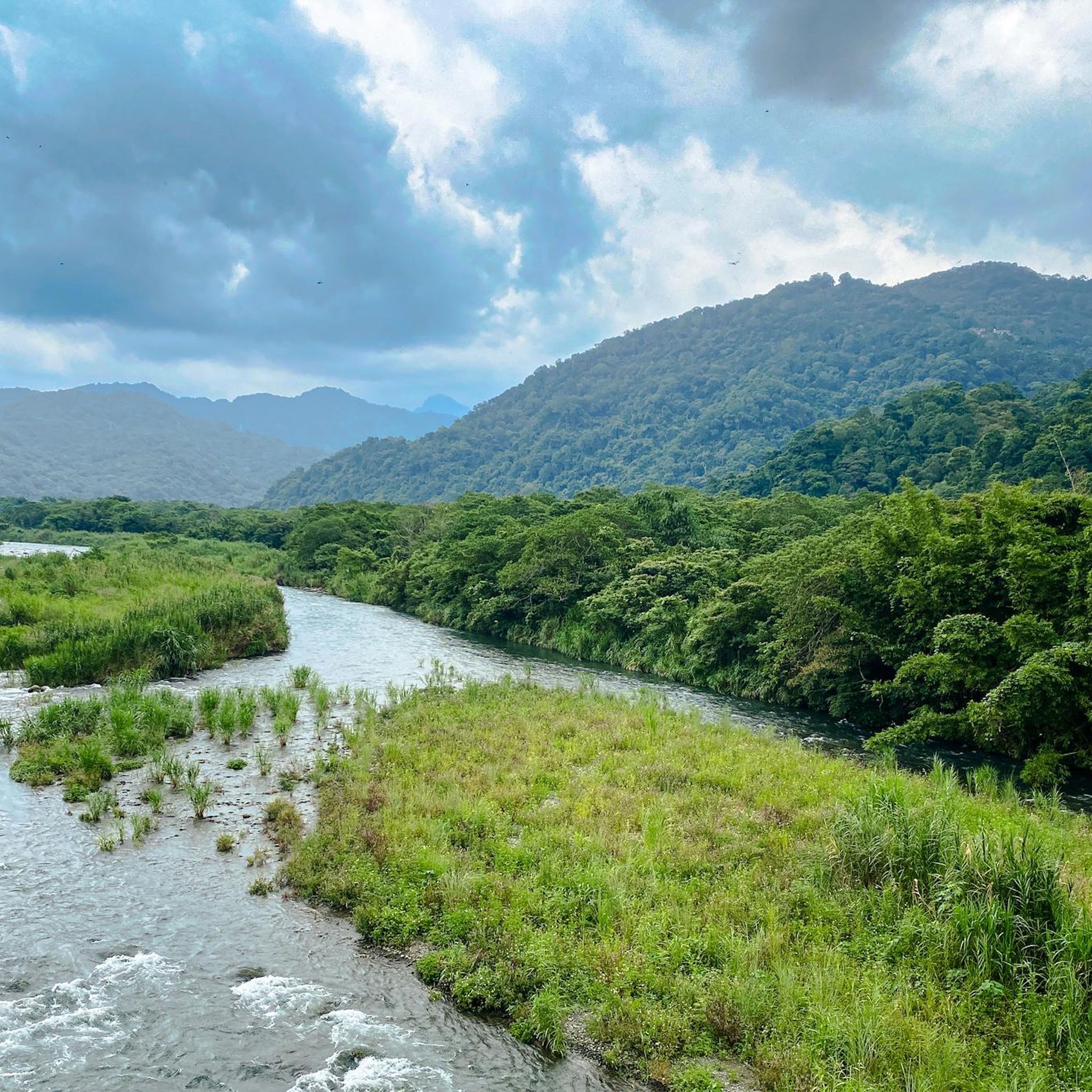
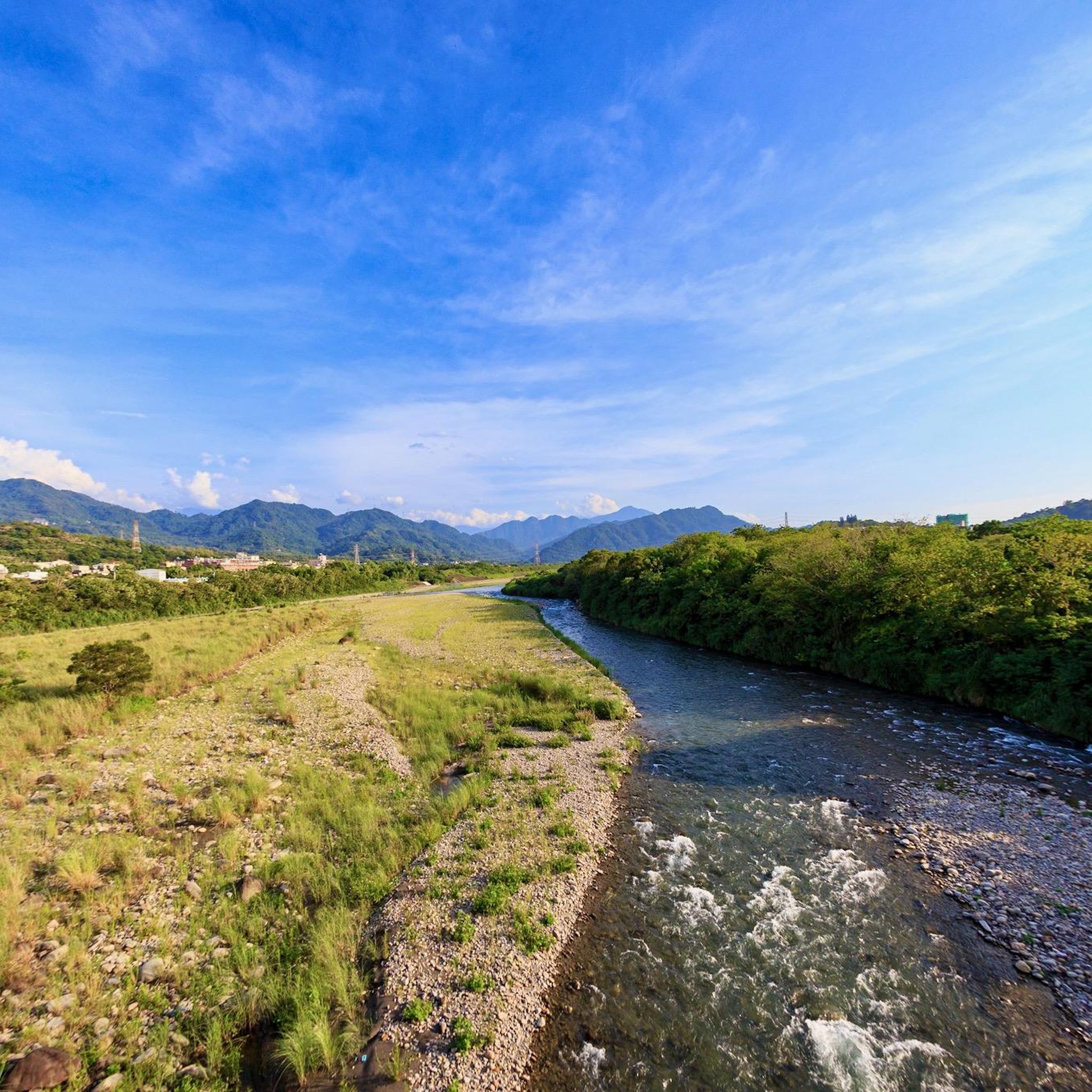
Other adventures in the Hsuen Mountains

Tips from the Community


A visit to the museum is worthwhile.
1
0

Just to reiterate that unfortunately you can't currently go any further along the Xinxian trail.
0
0

Apart from traffic lights, smooth road to ride ahead of morning traffic.
1
0

The water plunges a full 80 meters here, offering a magnificent natural spectacle. Also called the "Waterfall in the Clouds," during the rainy season, the Wulai Waterfall splits into two streams that cascade into the valley below. From the road, you have an unobstructed view of the waterfall. If you want to enjoy a different perspective, you can take the gondola up.
0
0

There is a bunch of containers with food close to this temple and also nice deck chairs on the pier to relax and enjoy the river scenery.
0
0

Great service and always there for you to solve issues in timely matter
0
0
Frequently Asked Questions
How many road cycling routes are available in the Hsuen Mountains?
The Hsuen Mountains offer a vast network for road cyclists, with over 270 routes documented on komoot. These routes cater to various skill levels, including 42 easy, 128 moderate, and 108 difficult options.
What kind of terrain can I expect on road cycling routes in the Hsuen Mountains?
The region is characterized by diverse topography, featuring jagged peaks, dramatic coastlines, and well-paved roads. You'll encounter extensive hilly and mountainous terrain, with numerous peaks providing varied elevation changes, from gradual ascents to challenging climbs. Some routes, like those leading to Wuling, are known for being among the longest and toughest climbs globally.
Are there road cycling routes suitable for beginners or those looking for an easier ride?
Yes, there are several easy routes available. For instance, the Qingshui Temple – Dadaocheng Pier Plaza loop from 大安森林公園 is an easy 46.5 km path that offers a relatively flat ride through urban areas and along riverfronts, perfect for a relaxed outing.
What do other cyclists say about road cycling in the Hsuen Mountains?
The road cycling routes in the Hsuen Mountains are highly rated by the komoot community, with an average score of 4.2 stars from over 400 reviews. More than 13,000 road cyclists have used komoot to explore the varied terrain, often praising the challenging climbs and scenic beauty.
Are there any routes that offer scenic views or natural attractions like waterfalls?
Absolutely. The Hsuen Mountains are rich in natural beauty. You can find routes that pass by stunning waterfalls, such as the Wulai Waterfall – Wulai Falls loop from 公館. The region also features panoramic viewpoints like Teapot Mountain and Banpingshan Ridge, offering breathtaking vistas of the sea and mountains. For more details on waterfalls, you can explore the Waterfalls in the Hsuen Mountains guide.
Can I find routes that pass by significant landmarks or cultural sites?
Yes, many routes offer opportunities to see notable landmarks. For example, the Dadaocheng Pier Plaza – Taipei Bike Works loop from 內湖 features varied urban scenery. You can also find routes near attractions like the National Chiang Kai-shek Memorial Hall or the Taipei 101 Observation Deck. For a broader overview, check the Attractions in the Hsuen Mountains guide.
Are there any challenging routes for experienced road cyclists seeking significant elevation gain?
For experienced cyclists, the Hsuen Mountains offer routes with substantial elevation gain. The Central Point Bay – Roasting Lab loop from 芝山 is a difficult 88.6 km trail with over 2,100 meters of elevation gain, often completed in about 5 hours 20 minutes. The region is known as a "hill climber's dream" with routes like the climb to Wuling presenting some of the toughest challenges.
Are there circular road cycling routes available in the Hsuen Mountains?
Many of the road cycling routes in the Hsuen Mountains are designed as loops, allowing you to start and finish at the same point. Examples include the BIKEfun Bicycle Shop – Daotou Park, Shezi Island loop from 芝山, which is a moderate 47.6 km ride, and the Tamsui River Mouth Bridge loop from 葫洲, an easy 40.3 km option.
What are some popular routes that combine urban and natural scenery?
Routes like the Dadaocheng Pier Plaza – Taipei Bike Works loop from 內湖 are popular for their moderate climbs and varied urban and natural scenery. Another favorite is the Dadaocheng Pier Plaza – Tamsui Waterfront Promenade loop from 中山, offering a mix of cityscapes and riverfront views.
Are there routes that follow riverfronts or coastal areas?
Yes, the Hsuen Mountains region includes routes that hug riverfronts and offer coastal views. The 0 km Starting Point – Tamsui River Mouth Bridge loop from 台北小巨蛋 is a moderate route that follows the Tamsui River. The Suhua Highway, while challenging, is also known for its stunning coastal views.
What is the typical duration for road cycling routes in this region?
Route durations vary significantly based on distance and elevation. Easy routes, like the Qingshui Temple – Dadaocheng Pier Plaza loop, can take around 1 hour 55 minutes. Moderate routes, such as the Dadaocheng Pier Plaza – Taipei Bike Works loop, typically last around 4 hours 35 minutes, while difficult routes can extend to over 5 hours, like the Central Point Bay – Roasting Lab loop at 5 hours 20 minutes.
Most popular routes in the Hsuen Mountains
Most popular attractions in the Hsuen Mountains

Get inspired with the komoot mobile app


Explore more
Browse the best Road cycling routes in other regions.
