The best road cycling routes around Wustvieler Forst
4.1
(222)
2,382
riders
100
rides
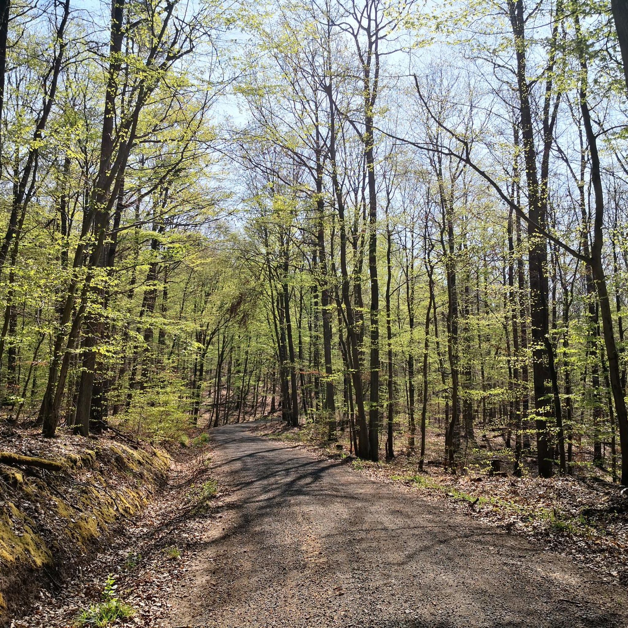
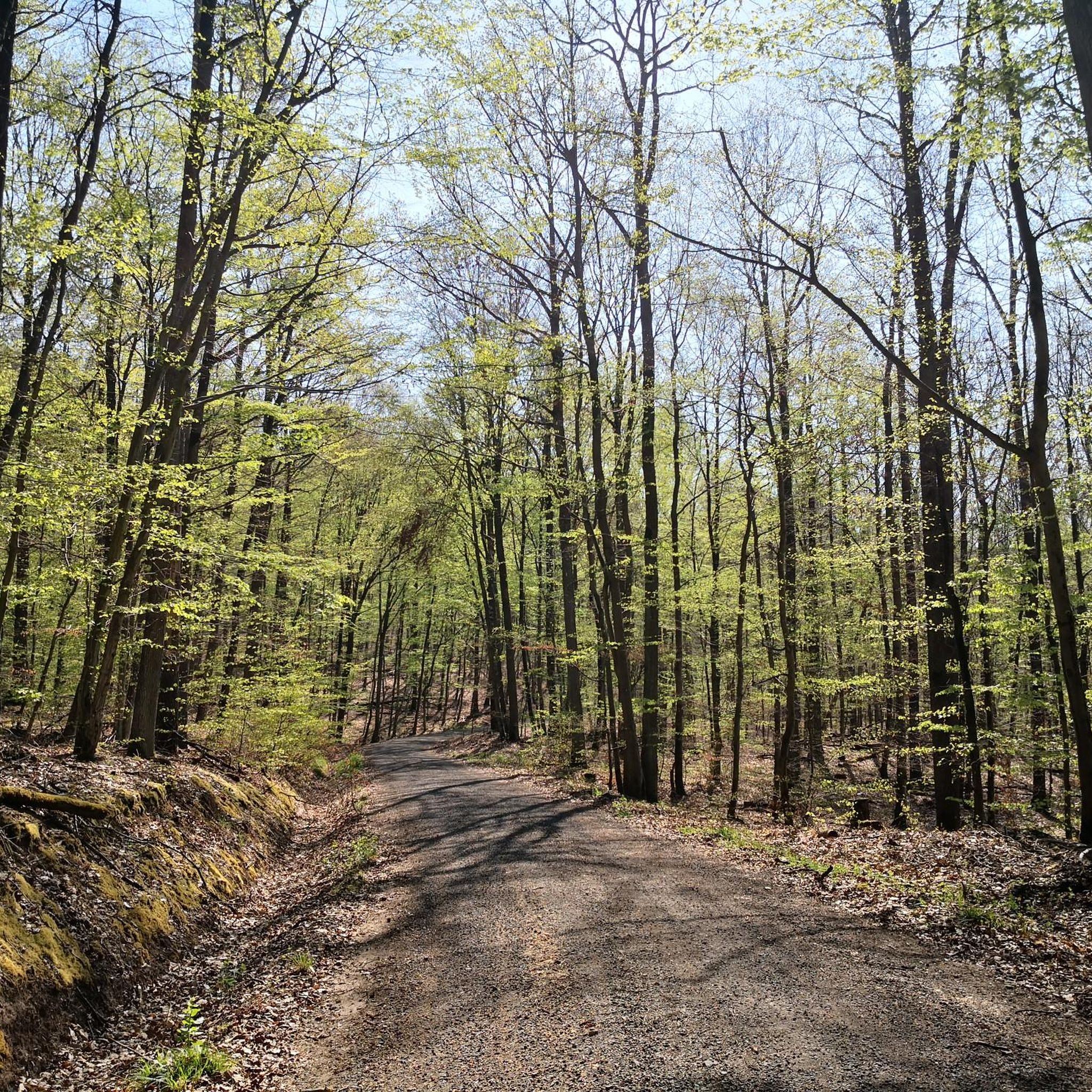
Road cycling routes around Wustvieler Forst are situated within a predominantly forested area in the district of Schweinfurt, Germany. The region, part of the Steigerwald, features dense woodlands and a network of well-maintained roads. Terrain includes hilly sections and routes connecting Franconian villages, offering varied landscapes for road cyclists. The area is characterized by natural features, including the source of the Rauhe Ebrach river and a nameless peak of 473 meters above sea level.
Best road cycling routes around Wustvieler…
Last updated: October 20, 2026
4.8
(5)
109
riders
Hard road ride. Very good fitness required. Some segments of this route may be unpaved and difficult to ride.
4.4
(9)
55
riders
38.9km
01:45
430m
430m
Moderate road ride. Good fitness required. Some segments of this route may be unpaved and difficult to ride.

5.0
(1)
22
riders
Easy road ride. Great for any fitness level. Mostly well-paved surfaces and easy to ride.
5.0
(2)
18
riders
Moderate road ride. Great for any fitness level. Some segments of this route may be unpaved and difficult to ride.
5.0
(1)
15
riders
Moderate road ride. Good fitness required. Some segments of this route may be unpaved and difficult to ride.
Get access to more routes and recommendations from other explorers.
Already have an account?
Our route recommendations are based on thousands of hikes, rides, and runs completed by other people on komoot.
Start today with a free account
Your next adventure awaits.
Tips from the Community

You should take a little time for Volkach and, above all, try the wine.
0
0


Symbolic representation and good idea… 👍🍻
0
0

A beautiful town on the Main River with historic buildings and several places to stop for refreshments, Haßfurt is a great place to restock your supplies.
0
0

The most picturesque part of Bamberg's old town. It's particularly worth seeing from the Lower and St. Mark's Bridges.
7
0
Bridge, power plant, and lock. A veritable collection of highlights on this section of the Regnitz.
6
0
Just the right place for a break. https://www.stadt-volkach.de/buergerservice/aktuelle-informationen/volkachzeit-die-buergerinformation-fuer-volkach-und-seine-ortsteile/faehrenschoppen-in-fahr-am-main
1
0

Frequently Asked Questions
How many road cycling routes are available around Wustvieler Forst?
There are over 100 road cycling routes available around Wustvieler Forst, offering a wide range of options for different skill levels and preferences. The komoot community has explored these routes over 2,100 times.
What kind of terrain can I expect when road cycling around Wustvieler Forst?
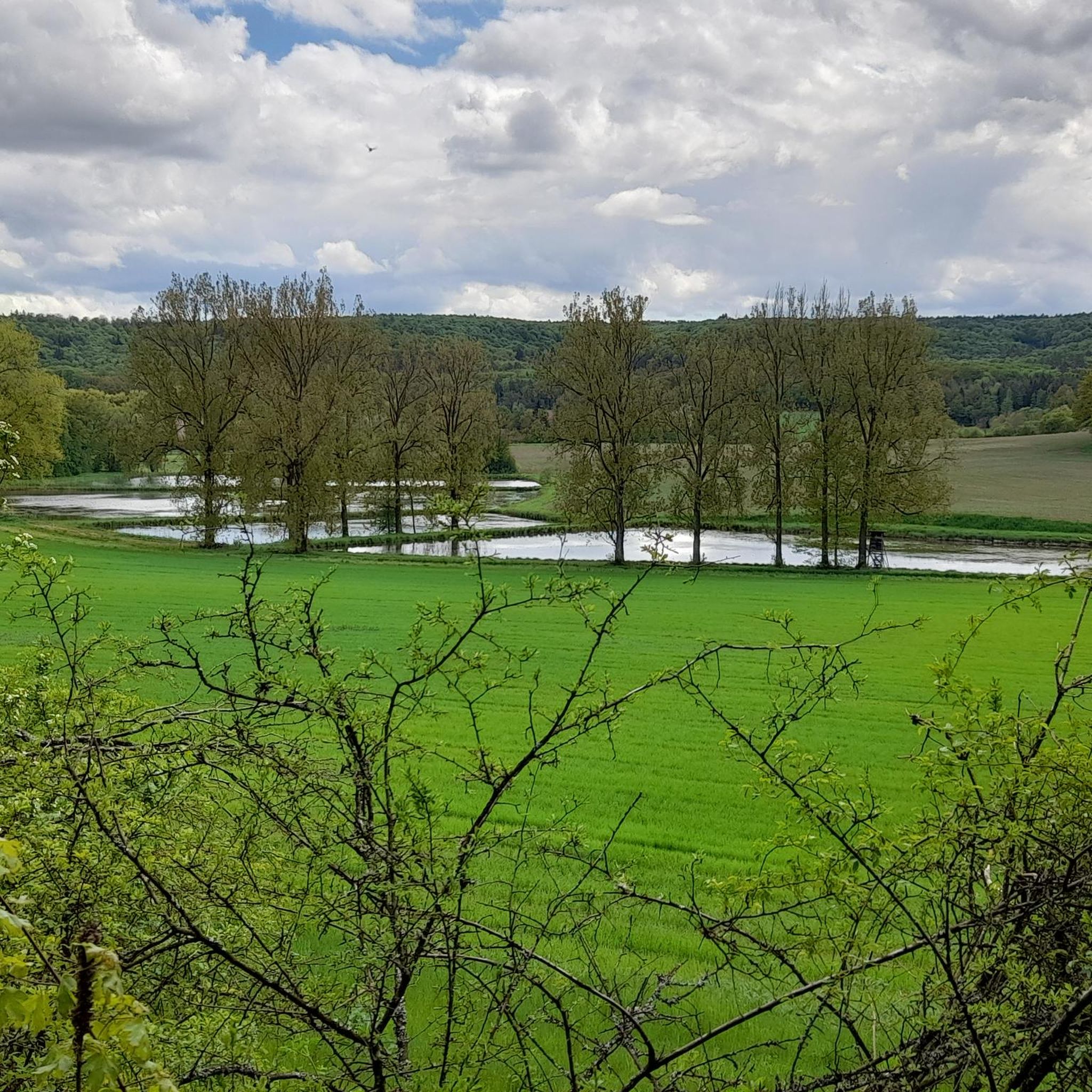
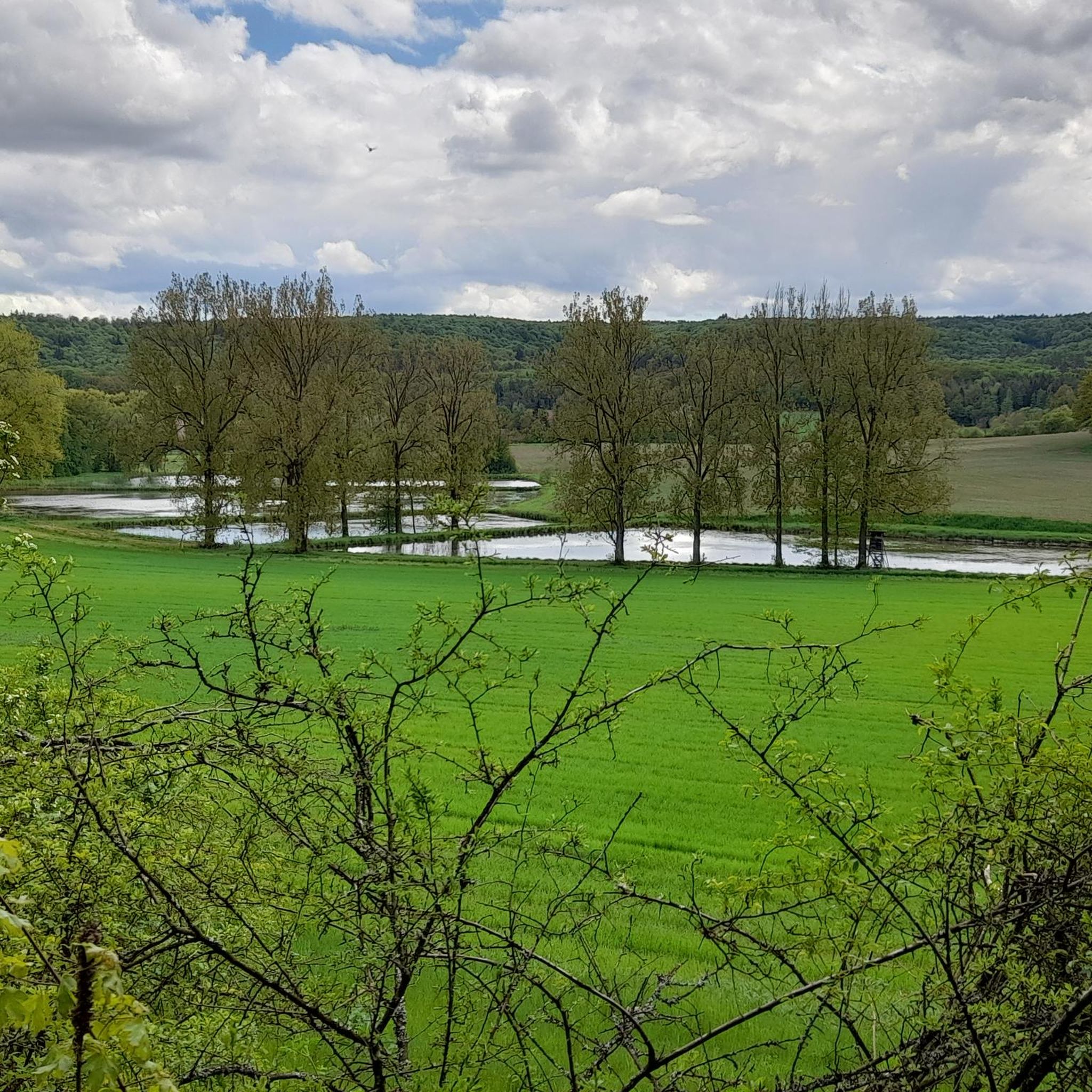
The region around Wustvieler Forst, situated within the Steigerwald, features varied landscapes. You can expect hilly sections, dense woodlands, and routes that pass through charming Franconian villages, fields, orchards, and vineyards. The district of Schweinfurt offers well-maintained, mostly paved roads, including quiet farm tracks and riverside paths.
What is the best time of year for road cycling in Wustvieler Forst?
Spring and summer are ideal for road cycling around Wustvieler Forst. During these seasons, the weather is generally pleasant, and the natural landscapes are at their most vibrant, making for enjoyable tours through the region's forests and villages.
Are there routes suitable for beginners or less experienced road cyclists?
Yes, the area offers several easy road cycling routes. For example, the Volkach Market Square and Fountain – Volkach’s Historic Old Town loop from Geiersberg is an easy 25.2-mile (40.5 km) path that guides cyclists through historic town centers and scenic Franconian landscapes.
Are there any challenging routes for experienced road cyclists?
Absolutely. For more experienced road cyclists, the broader Steigerwald region and the district of Schweinfurt offer challenging mountain passes like the Kreuzberg Pass and the Schönthalpass. These feature serpentine roads, steep climbs, and winding descents that reward with panoramic views. There are 6 difficult routes available in the area for those seeking a greater challenge.
What natural attractions can I see while road cycling around Wustvieler Forst?
While Wustvieler Forst itself is a dense woodland, the surrounding area offers impressive natural features. You can explore the Naturwaldreservat Kleinengelein, known for its old beech trees, or discover various gorges and valleys. Highlights include the Böhlbach Valley and the Böhlgrund Valley and Böhlbach Stream, which offer scenic views.
Are there any circular road cycling routes available?
Yes, many of the road cycling routes around Wustvieler Forst are designed as loops. A popular moderate option is the Untersteinbach Village Center – Burgwindheim Castle loop from Rauhenebrach, which is 27.8 miles (44.7 km) long and explores local villages and features a castle.
What do other cyclists say about road cycling in this region?
The road cycling routes around Wustvieler Forst are highly rated by the komoot community, with an average score of 4.4 stars from over 190 reviews. Cyclists often praise the diverse terrain, from quiet woodlands to charming Franconian villages, and the well-maintained roads that make for an enjoyable experience.
Can I find places to eat or stay near the road cycling routes?
Yes, the region around Wustvieler Forst includes Franconian villages and towns where you can find various amenities. While specific cafes or accommodations are not listed for every route, the presence of villages and historic town centers suggests opportunities for refreshments and lodging along or near many cycling paths.
Where can I park my car when starting a road cycling tour?
While specific parking locations are not detailed for every route, as the routes often start from villages or towns, you can typically find public parking facilities in these areas. It's advisable to check the starting point of your chosen route for local parking options.
Are there any routes that pass through historic sites or cultural landmarks?
Yes, several routes guide cyclists through historic areas. The Volkach Market Square and Fountain – Volkach’s Historic Old Town loop from Geiersberg is a great example, taking you through historic town centers and scenic Franconian landscapes. Another route, the Kehlingsdorf Ascent – Ebrach Abbey loop from Koppenwinder Forst, includes a notable abbey.
Are there any routes that offer views of wildlife or unique natural features?
The Aurachgrund with Heck cattle – Leinritt Cycle Path loop from Koppenwinder Forst offers a unique opportunity to see Heck cattle, providing a glimpse into the local wildlife and natural preservation efforts within the region's diverse landscapes.
Most popular attractions around Wustvieler Forst

Get inspired with the komoot mobile app


Explore more
Browse the best Road cycling routes in other regions.
