The best gravel rides around Wustvieler Forst
4.3
(4)
27
riders
31
rides
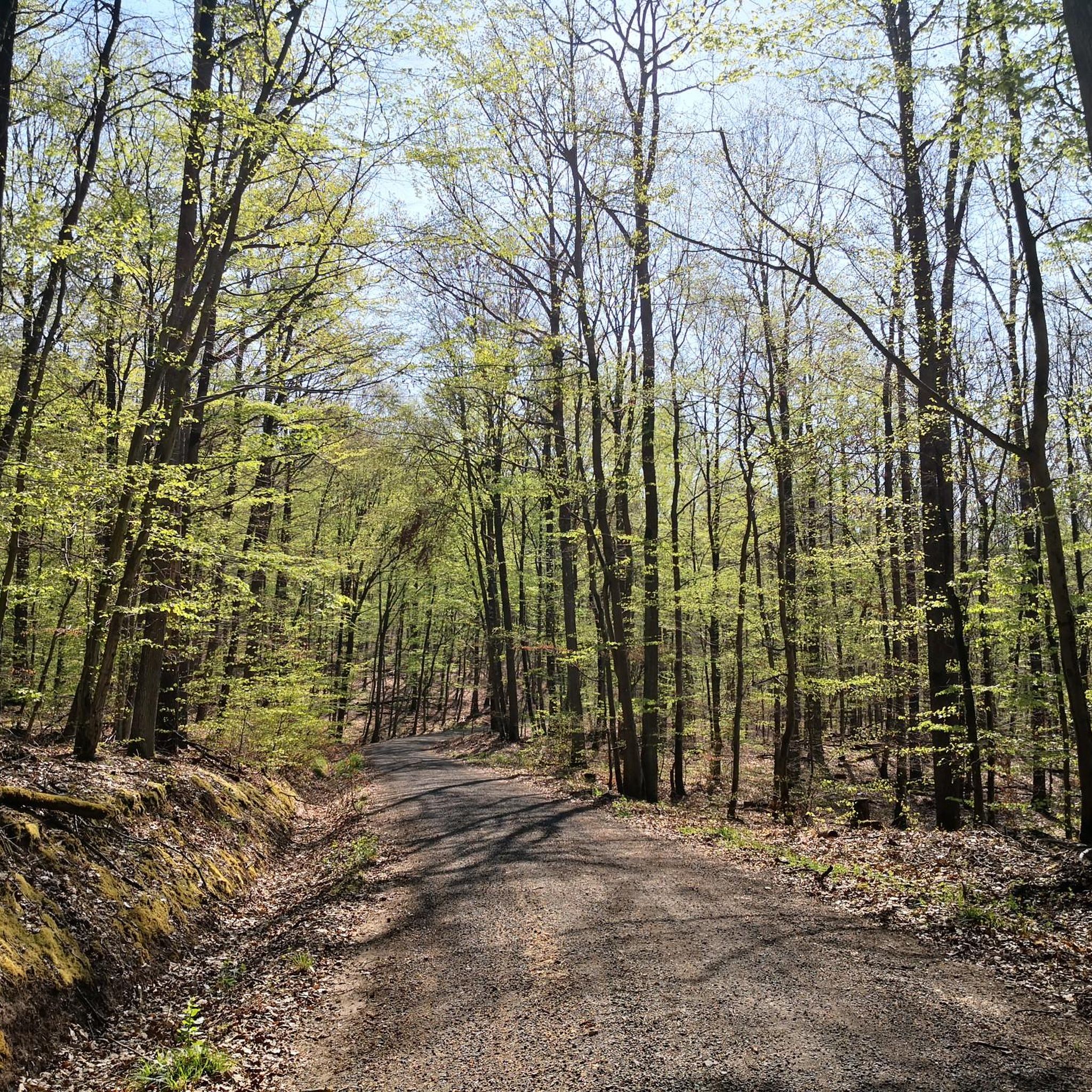
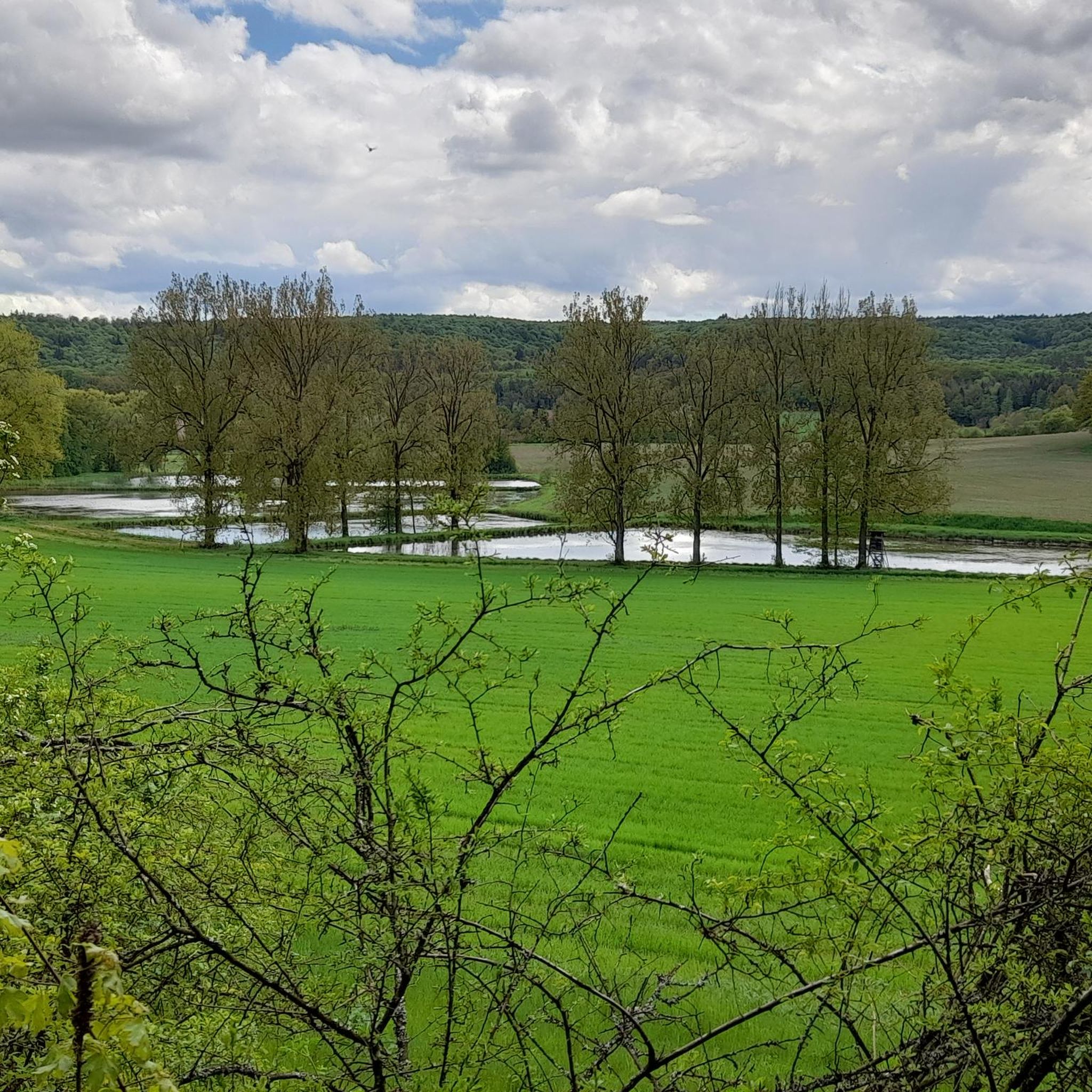
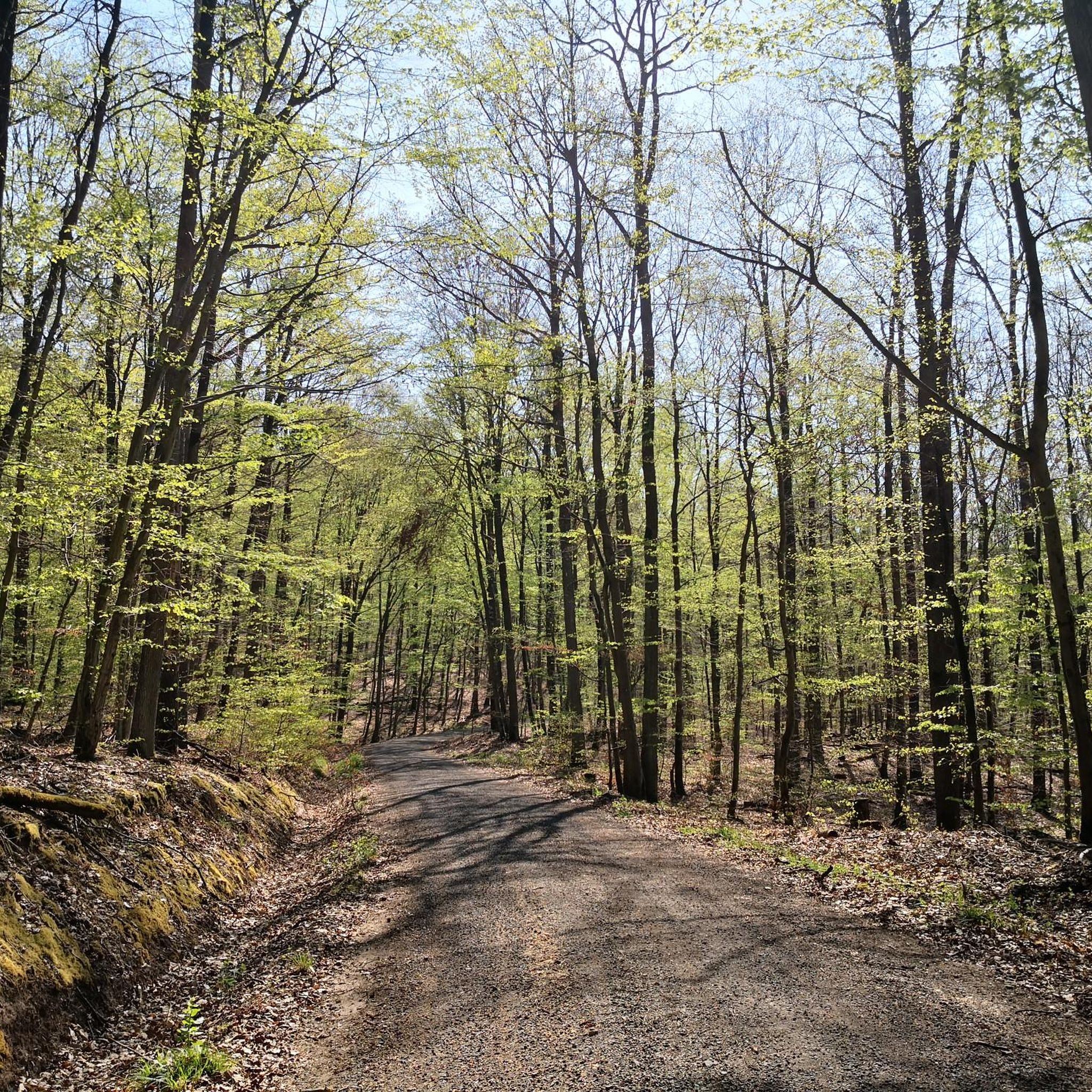
Gravel biking around Wustvieler Forst offers a diverse landscape characterized by dense woodlands, rolling hills, and historical sites. The region features varied terrain, including forest paths, some paved sections, and unpaved tracks suitable for gravel bikes. Elevation changes are common, with routes traversing both valleys and higher ground, providing a mix of challenging climbs and scenic descents. This area is known for its natural beauty and quiet routes, making it suitable for exploring on a gravel bike.
Best gravel bike trails around Wustvieler Forst
- The most popular gravel bike trail is Viewpoint Above Wiebelsberg – Handthal Wine Village loop from Dolinen im Mahlholz, a 23.3 miles (37.6 km) trail that takes 2 hours 38 minutes to complete. This difficult route features significant elevation gain and passes through varied forest and vineyard landscapes.
- Another top favourite among local gravel bikers is Untersteinbach Village Center – Herrmanns Keller Ampferbach loop from Rauhenebrach, a moderate 22.1 miles (35.6 km) path. This route explores forest trails and local villages, offering a balanced gravel biking experience.
- Local gravel bikers also love the Ebrach Abbey – Handthal Wine Village loop from Dolinen im Mahlholz, a 37.6 miles (60.6 km) trail leading through woodlands and past historical landmarks, often completed in about 3 hours 30 minutes.
- Gravel biking around Wustvieler Forst is defined by dense forests, rolling hills, and agricultural areas, with routes offering options for easy, moderate, and difficult ability levels.
- The routes in Wustvieler Forst are highly rated by the komoot community with an average score of 4.5 stars from 7 reviews. More than 50 gravel bikers have used komoot to explore Wustvieler Forst's varied terrain.
Last updated: July 2, 2026
4
riders
Hard gravel ride. Very good fitness required. You may need to push your bike for some segments of this route.
5.0
(1)
8
riders
Moderate gravel ride. Good fitness required. Mostly paved surfaces. Suitable for all skill levels.

Sign up for free
4.0
(1)
7
riders
60.6km
03:30
560m
560m
Hard gravel ride. Very good fitness required. Mostly paved surfaces. Suitable for all skill levels.
3
riders
32.7km
02:12
470m
470m
Hard gravel ride. Very good fitness required. Mostly paved surfaces. Suitable for all skill levels.
1
riders
24.2km
01:44
360m
360m
Moderate gravel ride. Good fitness required. Mostly paved surfaces. Suitable for all skill levels.
Get access to more routes and recommendations from other explorers.
Sign up for free
Already have an account?
Our route recommendations are based on thousands of hikes, rides, and runs completed by other people on komoot.
Start today with a free account
Your next adventure awaits.
Login or Signup
Tips from the Community

Good landmark with a shelter and information boards;
0
0

Incredibly beautiful. Wine dispenser, loungers, shelter, view - a perfect spot!!
0
0


In bad weather, there is a shelter. At the crossroads, there are information boards, including for trails. You rarely stand around alone for more than 5 minutes here,
0
0

As of February 28, 2026, the beaver trail is barely recognizable, especially in the upper section, where it is almost impossible to find. The situation is further complicated by the presence of fallen trees and debris blocking the way.
0
0

Every cross reminds us of the suffering and death of Jesus Christ, the Son of God, who became human out of love for us. At the same time, however, such a small sacred monument is always also a Christian symbol of redemption and the Easter hopeful perspective of the 'eternal life' that awaits us after death. "Eternal life, after all, attempts to give a name to the great unknown through faith," Christiane Völker once wrote, and continues: "We... then sense that this eternity is not just another succession of calendar days, but something like a fulfilled moment of immersion in the infinite love of God, in which there is no time, no before, and no after."
3
0

Bank with a beautiful view
1
0

Mighty beautiful linden tree in the village center
0
0
Frequently Asked Questions
How many gravel bike trails are available in Wustvieler Forst?
Wustvieler Forst offers a wide selection of gravel biking routes, with over 40 trails to explore. These routes cater to various skill levels, including easy, moderate, and difficult options.
What is the typical difficulty level of gravel bike trails in Wustvieler Forst?
The trails in Wustvieler Forst offer a mix of challenges. You'll find 22 moderate routes and 21 difficult routes, characterized by rolling hills and significant elevation changes. There is also one easy route available for those seeking a more relaxed ride.
Are there any beginner-friendly gravel bike trails in Wustvieler Forst?
While many routes feature elevation changes, there is at least one easy gravel bike trail available in Wustvieler Forst, making it accessible for beginners or those looking for a less strenuous ride. Most routes are moderate to difficult.
What kind of terrain can I expect on gravel bike routes in Wustvieler Forst?
The region is known for its diverse landscape, featuring dense woodlands, rolling hills, and agricultural areas. You'll encounter varied terrain, including forest paths, some paved sections, and unpaved tracks, all suitable for gravel bikes. Expect common elevation changes as routes traverse both valleys and higher ground.
Are there any circular gravel bike routes in Wustvieler Forst?
Yes, many of the gravel bike routes in Wustvieler Forst are designed as loops. For example, you can try the challenging Viewpoint Above Wiebelsberg – Handthal Wine Village loop from Dolinen im Mahlholz or the moderate Untersteinbach Village Center – Herrmanns Keller Ampferbach loop from Rauhenebrach.
What are some notable landmarks or attractions I can see along the gravel bike trails?
The Wustvieler Forst area is rich in historical sites and natural beauty. Along your rides, you might encounter attractions such as the Stollburg Ruins, the Zabelstein Castle Ruins, or the Steigerwald Treetop Walk. The Zabelstein Nature and Biotope Trail also offers scenic views.
What do other gravel bikers enjoy most about Wustvieler Forst?
The area is highly rated by the komoot community, with an average score of 4.5 stars from 7 reviews. Reviewers often praise the natural beauty, quiet routes, and the diverse mix of forest and vineyard landscapes that define the gravel biking experience here.
What is the typical length of gravel bike trails in Wustvieler Forst?
Gravel bike trails in Wustvieler Forst vary in length. Many routes are substantial, such as the Ebrach Abbey – Handthal Wine Village loop from Dolinen im Mahlholz, which is over 60 km long. Other popular routes like the Rauhe Ebrach Rest Area – Herrmanns Keller Ampferbach loop from Koppenwinder Forst are around 36 km.
Are there any routes that pass through villages or offer cultural insights?
Yes, some routes integrate local villages and historical sites into the ride. For instance, the Untersteinbach Village Center – Herrmanns Keller Ampferbach loop from Rauhenebrach explores forest trails and local villages, providing a balanced experience of nature and culture.
Can I find routes that offer viewpoints or scenic vistas?
Absolutely. The region's rolling hills and varied terrain provide numerous opportunities for scenic views. The route Viewpoint Above Wiebelsberg – Handthal Wine Village loop from Dolinen im Mahlholz explicitly highlights a viewpoint, and the Steigerwald Treetop Walk is a prominent attraction for panoramic views.
What kind of natural features define the Wustvieler Forst gravel biking experience?
The Wustvieler Forst is characterized by its dense woodlands, offering shaded paths and a sense of immersion in nature. You'll also encounter rolling hills that provide both challenging climbs and rewarding descents, contributing to the region's natural beauty and quiet atmosphere.
Most popular attractions around Wustvieler Forst

Get inspired with the komoot mobile app


Explore more
Browse the best Gravel rides in other regions.
