The best road cycling routes around Wain
4.3
(390)
5,215
riders
377
rides
Road cycling around Wain offers diverse terrain, characterized by rolling hills, river valleys, and agricultural landscapes. The region features a network of paved roads and dedicated cycle paths, providing varied experiences for road cyclists. Routes often follow the courses of rivers like the Rot and Rottum, offering scenic views and gentle gradients. The area's topography includes moderate elevation changes, making it suitable for different fitness levels.
Best road cycling routes around Wain
- The most popular road cycling route is Dietenheim…
Last updated: July 4, 2026
3.8
(4)
33
riders
42.7km
01:56
340m
340m
Moderate road ride. Good fitness required. Some segments of this route may be unpaved and difficult to ride.
5.0
(2)
48
riders
46.4km
02:04
290m
290m
Moderate road ride. Good fitness required. Some segments of this route may be unpaved and difficult to ride.

Sign up for free
4.2
(6)
29
riders
51.1km
02:42
250m
250m
Moderate road ride. Good fitness required. Mostly well-paved surfaces and easy to ride.
3.7
(3)
22
riders
39.3km
01:38
190m
190m
Easy road ride. Great for any fitness level. Mostly well-paved surfaces and easy to ride.
3.0
(1)
21
riders
Easy road ride. Great for any fitness level. Mostly well-paved surfaces and easy to ride.
Get access to more routes and recommendations from other explorers.
Sign up for free
Already have an account?
Our route recommendations are based on thousands of hikes, rides, and runs completed by other people on komoot.
Start today with a free account
Your next adventure awaits.
Login or Signup
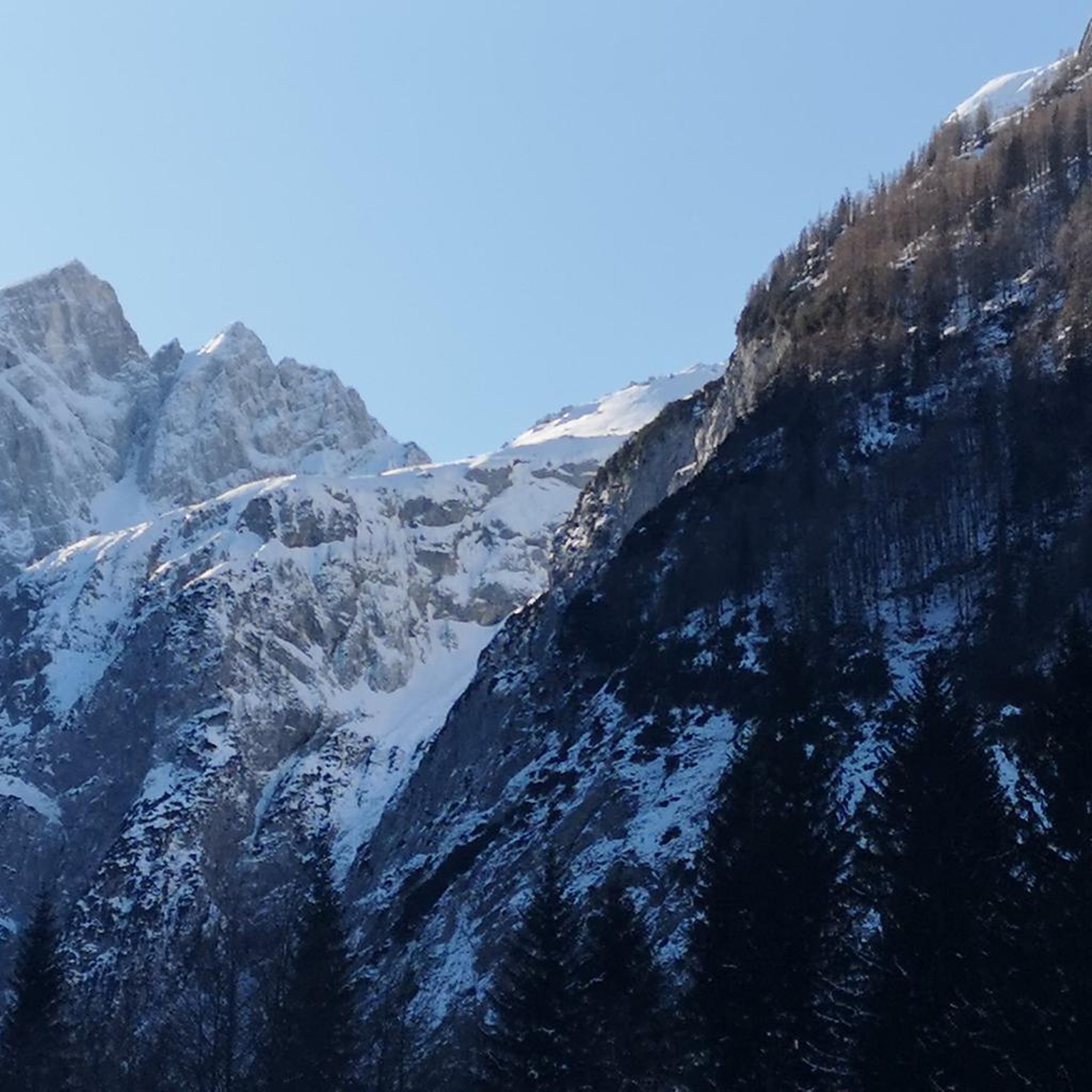
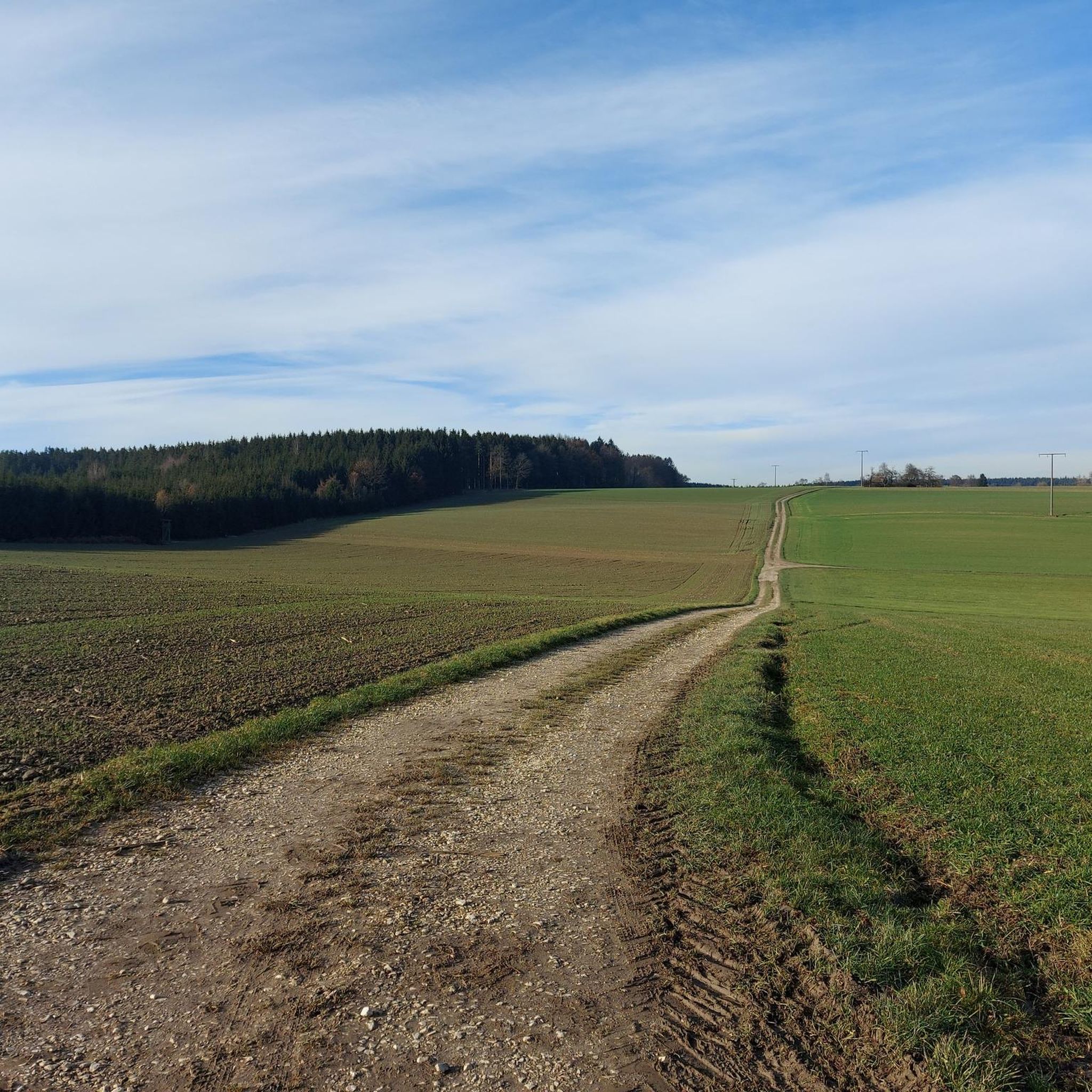
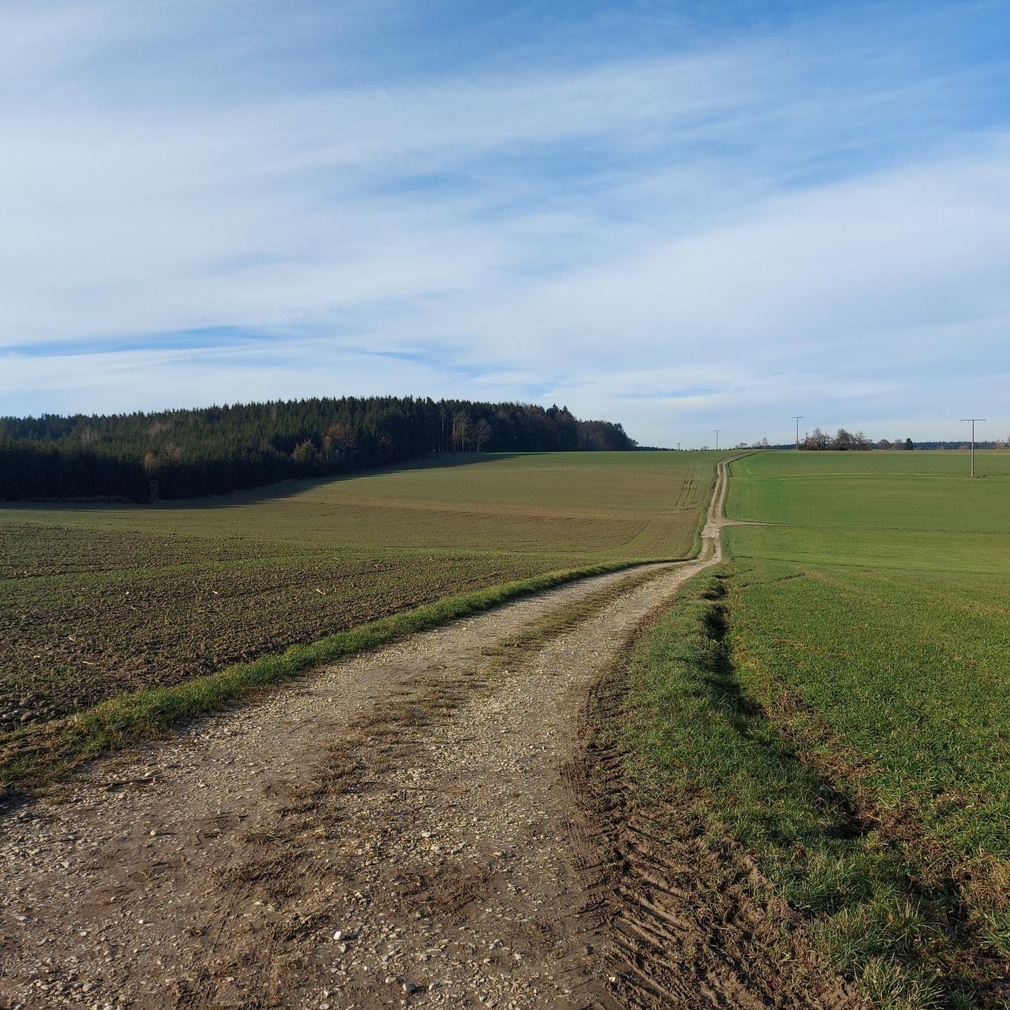
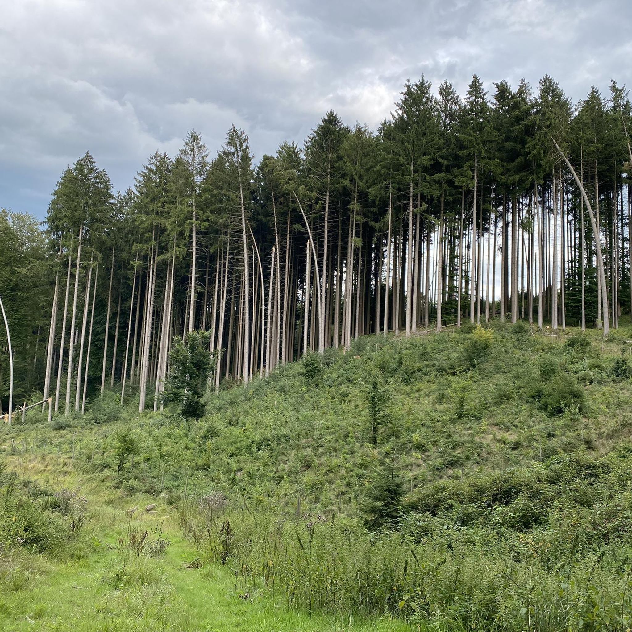
Tips from the Community

Nice narrow road with little traffic. Very nice to ride.
1
0

Next to the church there is an ice cream café with delicious ice cream!
0
0

Very nice cycle path through a charming landscape.
0
0

A beautiful river that flows from the Allgäu into the Danube.
0
0

From the entrance to Bihlafingen NO CYCLE PATH!!!
0
0

The asphalted road from Schönebürg to Mietingen runs along the Rottum and is easy to navigate.
0
0

Here you drive on a single-lane side road right next to the river Rot and can let your gaze wander into the distance.
1
0

Who knows that the Weihung is now a tributary of the Danube? Some time ago it still "flowed" into the Iller.
0
0
Frequently Asked Questions
What kind of terrain can I expect when road cycling around Wain?
Road cycling around Wain features diverse terrain, including rolling hills, river valleys, and agricultural landscapes. You'll find a network of paved roads and dedicated cycle paths. Routes often follow rivers like the Rot and Rottum, offering scenic views and gentle gradients, but also include moderate elevation changes for varied fitness levels.
How many road cycling routes are available in the Wain area?
There are over 370 road cycling routes available around Wain on komoot, catering to a wide range of preferences and fitness levels. This includes routes from easy to difficult, ensuring there's something for every cyclist.
Are there easy road cycling routes suitable for beginners in Wain?
Yes, Wain offers many easy road cycling routes perfect for beginners or those looking for a relaxed ride. For example, the Dietenheim Town Center loop from Wain is an easy 13.4-mile (21.6 km) trail, and the Chicken Crossing Sign – River Rot loop from Wain is another easy 19.1-mile (30.7 km) option that follows the River Rot.
What are some challenging road cycling routes around Wain?
For cyclists seeking a challenge, Wain offers routes with significant elevation gain. The View of Hirschbronn – Annaweiher loop from Wain is a moderate 51.1-mile (82.2 km) trail with notable elevation gain, often completed in about 4 hours. There are 19 difficult routes in total for experienced riders.
What do other road cyclists enjoy most about the routes in Wain?
The road cycling routes in Wain are highly rated by the komoot community, with an average score of 4.4 stars from over 350 reviews. Cyclists often praise the diverse terrain, from gentle river paths to rolling hills, and the scenic agricultural landscapes. The variety of routes suitable for different ability levels is also frequently highlighted.
Are there any scenic viewpoints or natural features to see along the road cycling routes?
Yes, Wain's routes offer several scenic spots. You can find beautiful lakes like Ilgenweiher, Dietenheim bathing lake, and Sinningen Bathing Lake. Natural monuments such as the Illertissen Tree and Art Trail and the Beglinde (Erolzheim Linden Tree) also add to the picturesque landscape.
Are there any circular road cycling routes around Wain?
Many road cycling routes around Wain are designed as loops, offering convenient circular tours. Examples include the Dietenheim Town Center loop from Wain and the Öchsle Cycle Path – Ochsenhausen Abbey loop from Wain, which is a moderate 32.2-mile (51.8 km) ride.
What is the best season for road cycling in Wain?
While specific weather data isn't provided, road cycling in regions like Wain, Germany, is generally most enjoyable from spring through autumn (April to October). During these months, temperatures are milder, and the natural landscapes are at their most vibrant, offering pleasant conditions for riding.
Are there family-friendly road cycling options in Wain?
Yes, Wain offers several easy and relatively flat routes that are suitable for families. Routes following river valleys, such as the Chicken Crossing Sign – River Rot loop from Wain, provide gentle gradients and scenic views, making them enjoyable for various ages and skill levels.
Are there cafes or restaurants along the road cycling routes in Wain?
While specific cafes or restaurants aren't listed in the route details, the region's agricultural and town-connected routes often pass through or near villages and towns where you can find places to stop for refreshments. It's always a good idea to check local maps or plan your stops in advance.
Is parking available near the road cycling routes in Wain?
Yes, parking is generally available at various starting points for road cycling routes in and around Wain. Many routes begin from town centers or designated parking areas, making it convenient to access the trails by car.
Are permits or fees required for road cycling on public roads and cycle paths in Wain?
Generally, no specific permits or fees are required for road cycling on public roads and designated cycle paths in Germany, including the Wain area. These routes are freely accessible for recreational use.
Most popular attractions around Wain

Get inspired with the komoot mobile app


Explore more
Browse the best Road cycling routes in other regions.
