The best cycling routes around Stordal
4.8
(14)
418
riders
6
rides
Touring cycling routes around Stordal are set within Norway's Fjord Municipality, characterized by dramatic landscapes. The region features steep mountains, wide valleys, and access to the Storfjorden, offering routes along the fjord's edge. Cyclists encounter diverse terrain, from well-paved roads to unpaved segments, providing varied experiences. This area is known for its natural beauty, including fjords, rivers, and glacial lakes.
Best touring cycling routes around Stordal
- The most popular touring cycling route is Trollstigen – View of Trollstigen loop from…
Last updated: June 28, 2026
4.5
(4)
329
riders
78.6km
05:26
1,440m
1,440m
Hard bike ride. Very good fitness required. Mostly paved surfaces. Suitable for all skill levels.
5.0
(3)
32
riders
89.9km
07:19
2,780m
2,780m
Hard bike ride. Very good fitness required. Mostly paved surfaces. Suitable for all skill levels.

Sign up for free
4.9
(7)
26
riders
27.6km
01:37
160m
160m
Moderate bike ride. Good fitness required. Mostly paved surfaces. Suitable for all skill levels.
18
riders
Moderate bike ride. Good fitness required. Mostly paved surfaces. Suitable for all skill levels.
3
riders
11.3km
00:48
140m
140m
Easy bike ride. Great for any fitness level. Mostly paved surfaces. Suitable for all skill levels.
Our route recommendations are based on thousands of hikes, rides, and runs completed by other people on komoot.
Start today with a free account
Your next adventure awaits.
Login or Signup
Tips from the Community

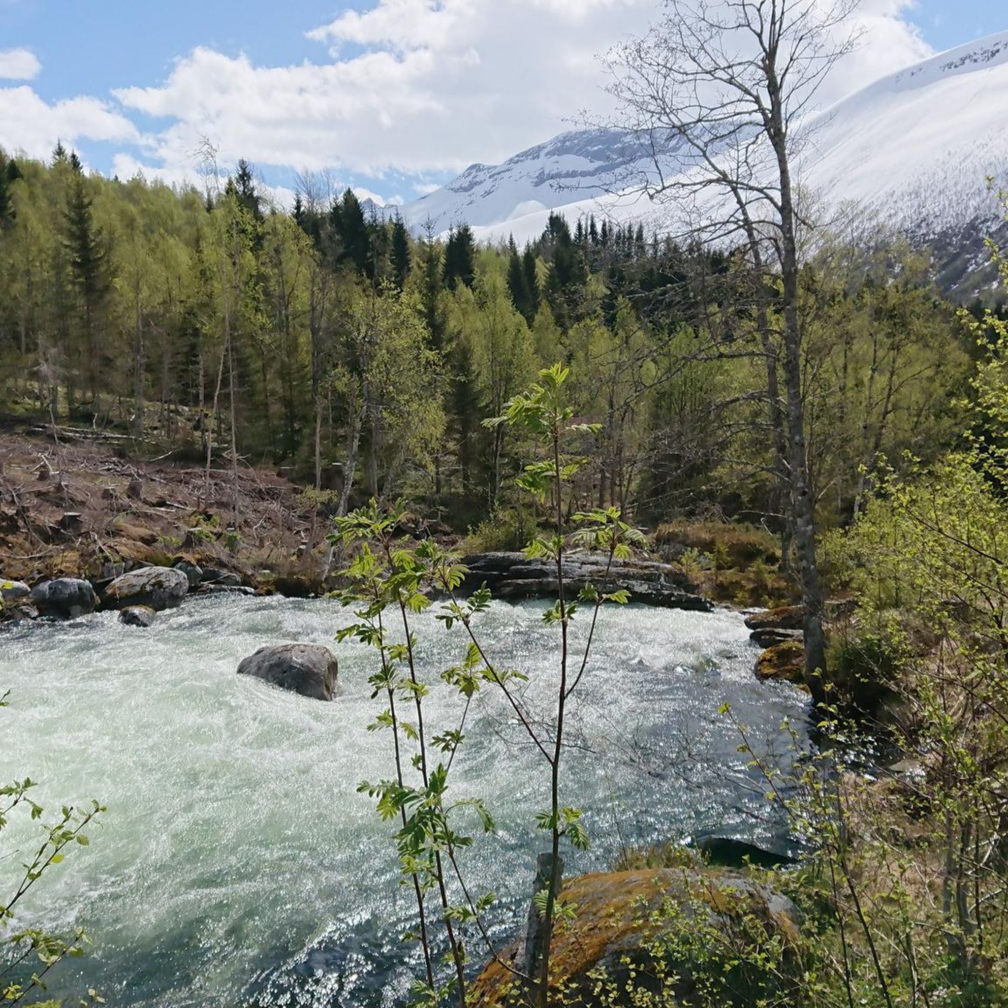
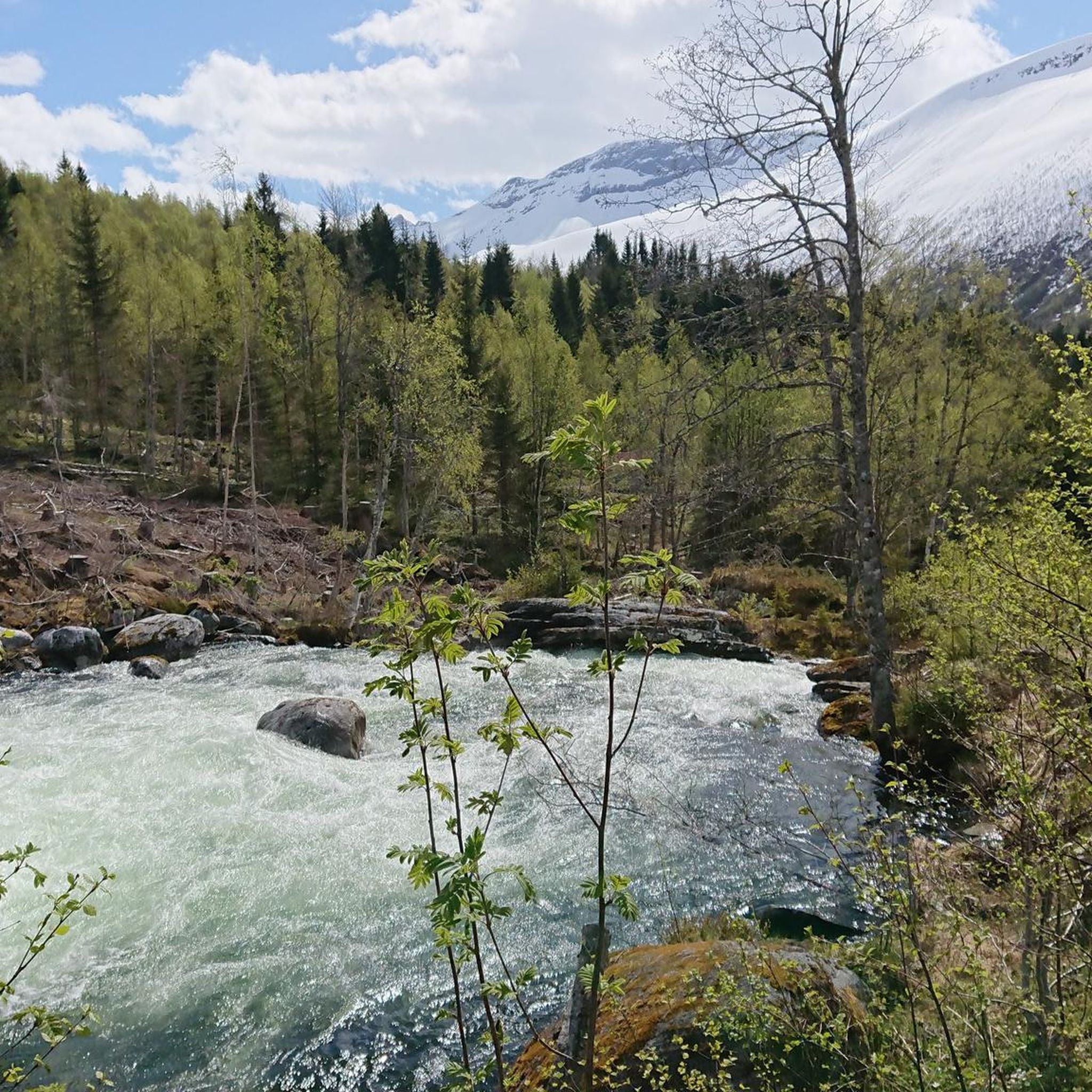
Along this side of the lake there is a great trail; it is a single-track path for a lot of the time, but it goes through a pristine forest, and it really is a haven of peace and tranquillity. A great place to take your dog.
0
0

Great view of the fjord and the ship. The effort is worth it.
3
0

Facts about the Geirangerfjord The fjord is 15 km long, 1.5 km wide at its widest point, and 700 m deep at its deepest point. The area, which has been declared a UNESCO World Heritage Site, covers 498 km² and includes the fjord and the surrounding areas in the Stranda and Norddal counties.
1
0
Facts about the Geirangerfjord The fjord is 15 km long, 1.5 km wide at its widest point, and 700 m deep at its deepest point. The area, which has been declared a UNESCO World Heritage Site, covers 498 km² and includes the fjord and the surrounding areas in the Stranda and Norddal counties.
1
0
Numerous waterfalls and free-flowing rivers, deciduous and coniferous woodlands and forests, glacial lakes, glaciers, rugged mountains and a range of other natural attributes combine towards making Geirangerfjord and Nærøyfjord among the most scenically outstanding landscapes in the world.
1
0
Numerous waterfalls and free-flowing rivers, deciduous and coniferous woodlands and forests, glacial lakes, glaciers, rugged mountains and a range of other natural attributes combine towards making Geirangerfjord and Nærøyfjord among the most scenically outstanding landscapes in the world.
1
0

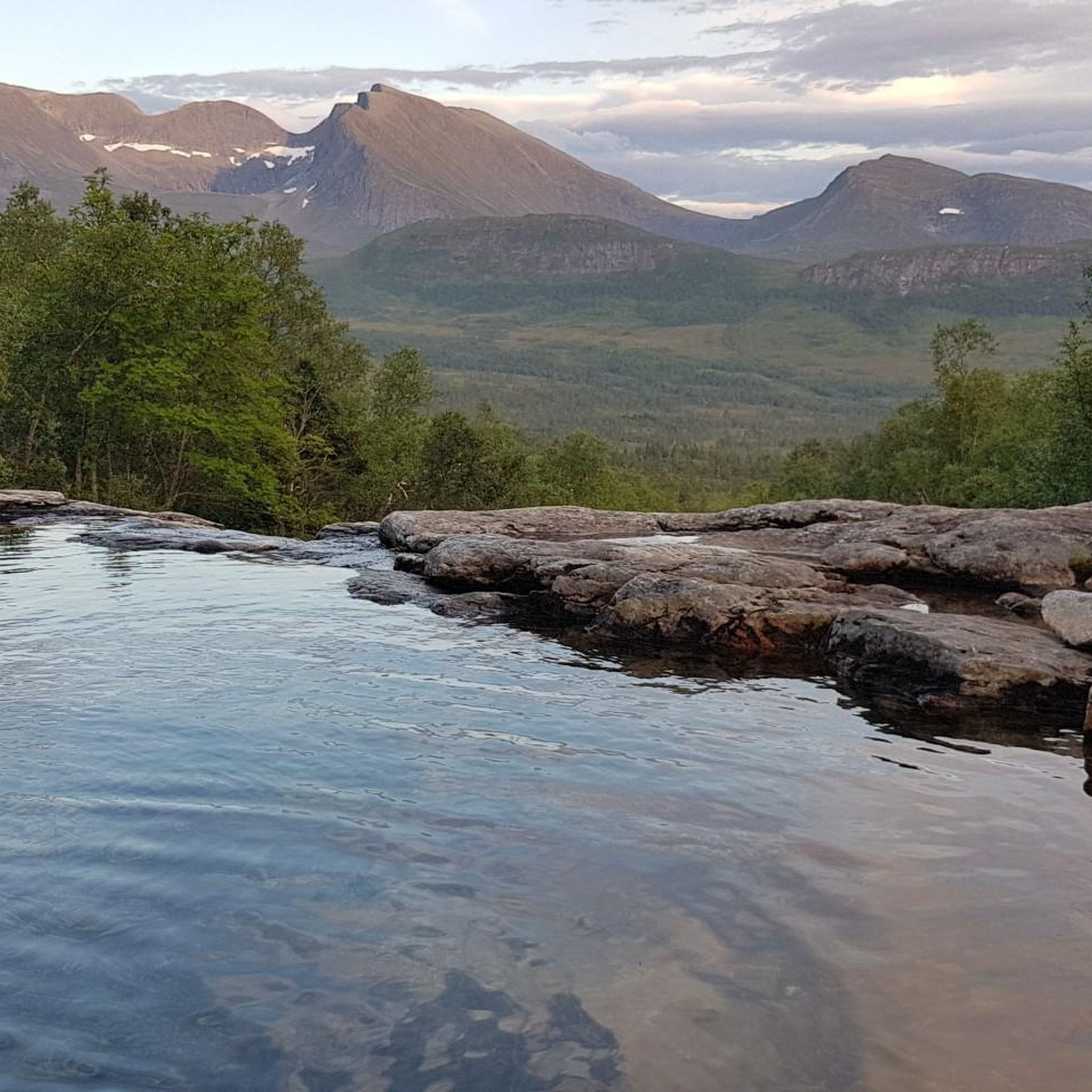
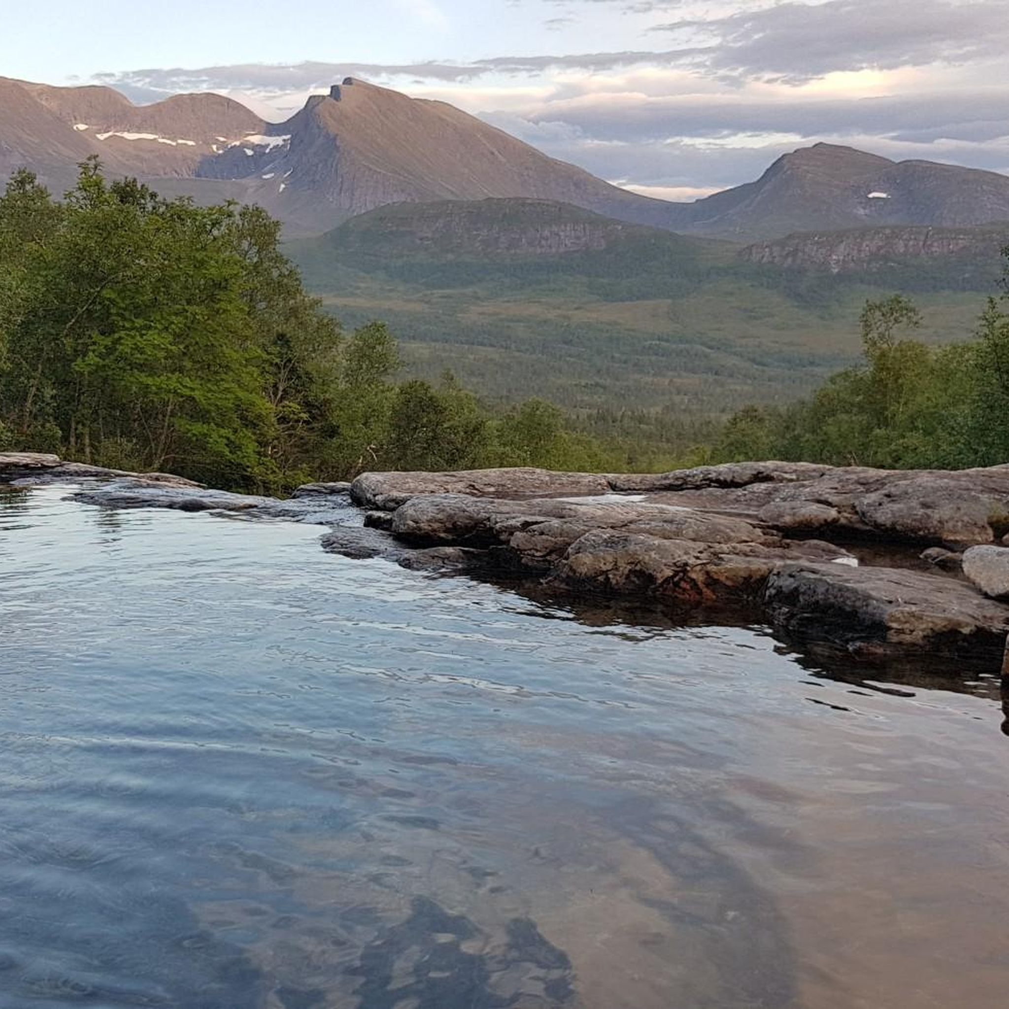
Very nice place. Nice view down into the gorge.
0
0
What a magnificent view
1
0
Frequently Asked Questions
How many touring cycling routes are available around Stordal?
There are 8 touring cycling routes available around Stordal. These routes offer a variety of experiences, from moderate rides to challenging ascents, set against the backdrop of Norway's dramatic Fjord Municipality.
What kind of terrain can I expect when touring cycling in Stordal?
You can expect a diverse range of terrain. Routes often follow the fjord's edge, offering breathtaking views of the Storfjorden. The area features steep mountains and wide valleys, with surfaces ranging from well-paved roads suitable for various fitness levels to segments that may be unpaved and more challenging. This variety caters to different cycling preferences and fitness levels.
Are there any family-friendly or easy touring cycling routes in Stordal?
Yes, Stordal offers routes suitable for different abilities. While many routes involve significant elevation, there are options that are less demanding. For instance, the region has routes under two hours with up to 1,000 feet of elevation gain, which are suitable for a more relaxed pace. You can find routes with a 'moderate' difficulty grade, such as the Waterfall – Eidsdalvatnet loop from Eidsdal, which is 12.3 miles (19.7 km) long.
What are some challenging touring cycling routes for experienced cyclists in Stordal?
For experienced cyclists seeking a challenge, Stordal provides several difficult routes with significant elevation gains. A prime example is the Korsmyra Viewpoint – Djupvatnet Frozen Lake loop from Eidsdal skule, which covers 89.9 km (55.9 miles) with over 2,700 meters of ascent. Another demanding option is the Trollstigen – View of Trollstigen loop from Valldal, a 108.2 km (67.2 miles) route with over 2,000 meters of climbing, offering incredible vistas of the Trollstigen Mountain Pass.
What natural features or attractions can I see along the touring cycling routes?
The routes around Stordal are rich in natural beauty. You can expect to see majestic fjords, rugged mountains, and picturesque valleys. Specific attractions include waterfalls, such as those found along the Waterfall – Eidsdalvatnet loop from Eidsdal. Other notable points of interest in the broader area include the dramatic Gudbrandsjuvet Gorge and the scenic Blåhornet Summit.
Are there any circular touring cycling routes around Stordal?
Yes, many of the touring cycling routes around Stordal are designed as loops, allowing you to start and end at the same point. Examples include the Trollstigen – View of Trollstigen loop from Sylte kyrkje, which is a challenging 78.6 km (48.9 miles) ride, and the more moderate Tresfjord Bridge loop from Tresfjorden, covering 27.6 km (17.1 miles).
What is the best time of year to go touring cycling in Stordal?
The best time for touring cycling in Stordal is typically during the warmer months, from late spring to early autumn (May to September). During this period, the weather is generally milder, and mountain passes are more likely to be clear of snow, offering full access to the region's stunning landscapes. Always check local weather and road conditions before you set out.
Can I find places to eat or stay along the touring cycling routes in Stordal?
While Stordal is primarily known for its natural beauty, you can find amenities in the main villages and along popular routes. Valldal, for example, serves as a gateway to iconic routes like Trollstigen and offers services. It's advisable to plan your stops in advance, especially on longer or more remote routes, as facilities may be spread out.
What are the parking options for cyclists in Stordal?
Parking for cyclists is generally available in and around the main villages and at common starting points for routes. For example, routes often begin from locations like Sylte kyrkje or Eidsdal, where you can typically find suitable parking. It's always a good idea to check specific starting points for parking availability when planning your tour.
Is public transport available to access cycling routes in Stordal?
Public transport options, such as local buses and ferries, can help you access various parts of the Fjord Municipality, including areas near Stordal. These services can be useful for reaching starting points of routes or for combining cycling with other forms of transport. Cyclists should check schedules and bike carriage policies with local operators in advance.
What do other touring cyclists enjoy most about cycling in Stordal?
The touring cycling routes around Stordal are highly rated by the komoot community, with an average score of 5.0 stars from over 10 reviews. Cyclists frequently praise the dramatic landscapes, including the majestic fjords and rugged mountains, as well as the diverse terrain that offers both challenging climbs and scenic rides along the fjord's edge. The panoramic views, especially from routes like those around Trollstigen, are often highlighted as a major draw.
Are there any routes with spectacular viewpoints in Stordal?
Absolutely. The region is renowned for its stunning vistas. Routes like the Trollstigen – View of Trollstigen loop from Sylte kyrkje offer panoramic views of the iconic Trollstigen Mountain Pass. The open ridges around places like Vardefjellet also provide clear views of the surrounding Norwegian landscape, including the Norddalsfjord and the Sunnmøre Alps, making for truly memorable cycling experiences.
Most popular routes around Stordal
Most popular attractions around Stordal

Get inspired with the komoot mobile app


Explore more
Browse the best Cycling routes in other regions.
