The best road cycling routes around Stordal
4.8
(3)
137
riders
7
rides
Road cycling around Stordal is characterized by dramatic fjord and mountain landscapes, offering routes with substantial elevation changes. The region features deep fjords, towering mountains, and scenic valleys, providing a diverse backdrop for cycling. This topography results in challenging terrain, with both moderate and difficult routes available for road cyclists.
Best road cycling routes around Stordal
- The most popular road cycling route is Trollstigen Mountain Pass from Valldal, a 67.5 miles (108.6 km) trail that takes 5 hours 40…
Last updated: July 12, 2026
4.5
(2)
65
riders
109km
05:41
1,980m
1,980m
Hard road ride. Very good fitness required. Mostly well-paved surfaces and easy to ride.
5.0
(1)
32
riders
76.7km
04:29
1,850m
1,850m
Hard road ride. Very good fitness required. Mostly well-paved surfaces and easy to ride.

Sign up for free
27
riders
79.8km
04:07
1,310m
1,310m
Hard road ride. Very good fitness required. Mostly well-paved surfaces and easy to ride.
2
riders
62.2km
03:12
870m
870m
Moderate road ride. Good fitness required. Some segments of this route may be unpaved and difficult to ride.
4
riders
40.9km
01:57
550m
550m
Moderate road ride. Good fitness required. Mostly well-paved surfaces and easy to ride.
Get access to more routes and recommendations from other explorers.
Sign up for free
Already have an account?
Our route recommendations are based on thousands of hikes, rides, and runs completed by other people on komoot.
Start today with a free account
Your next adventure awaits.
Login or Signup
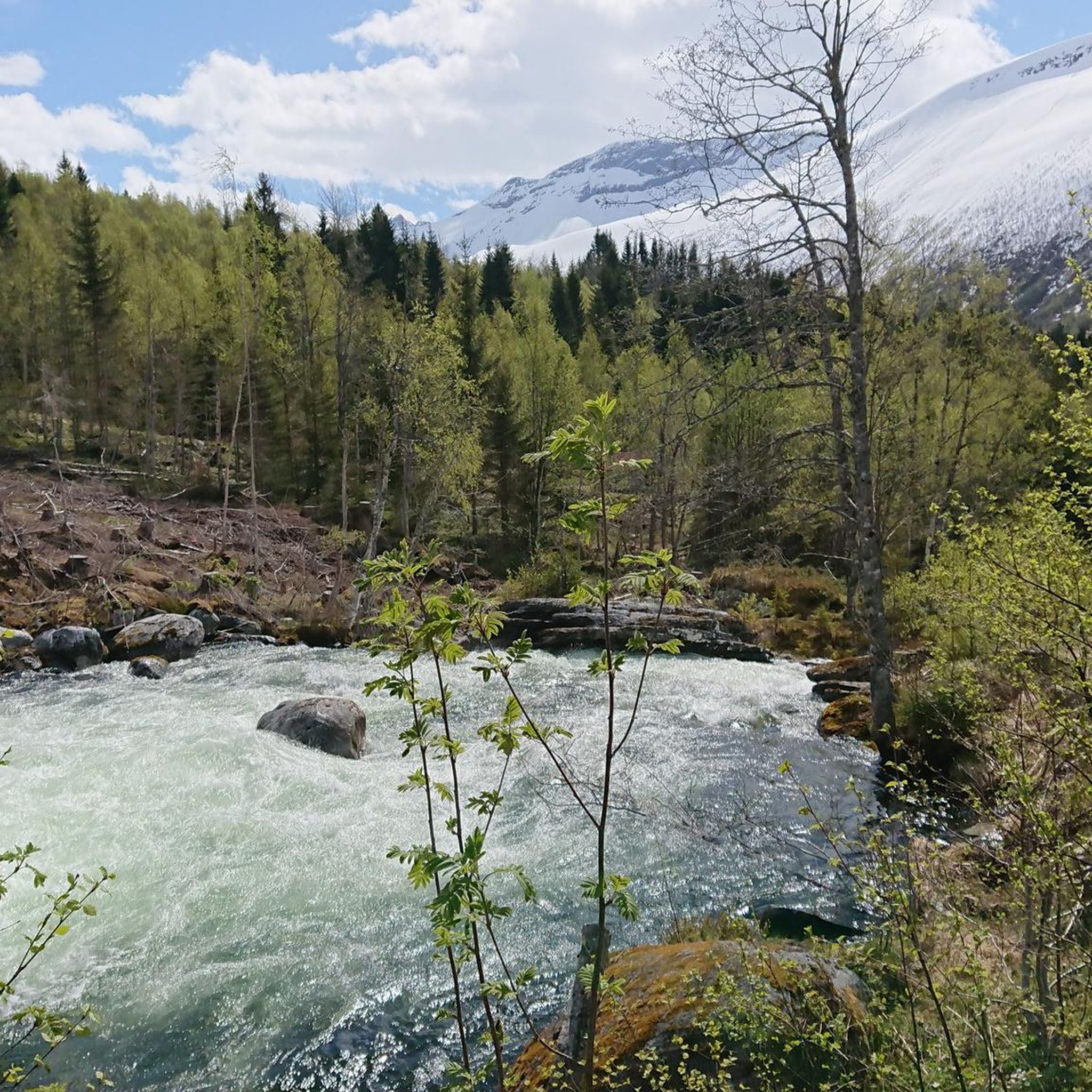
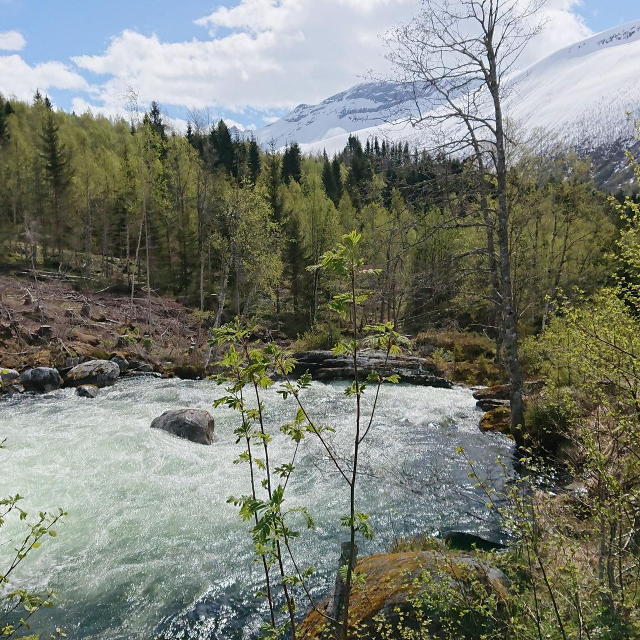
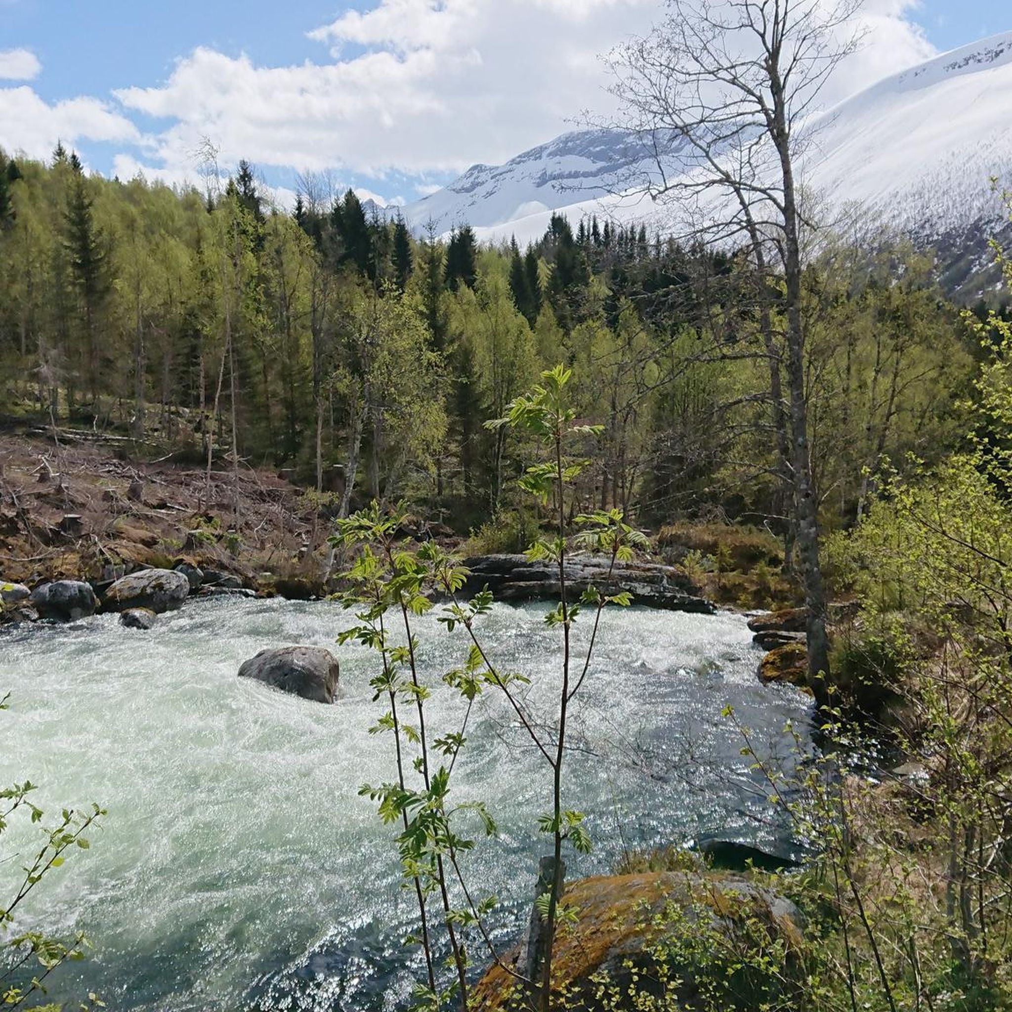
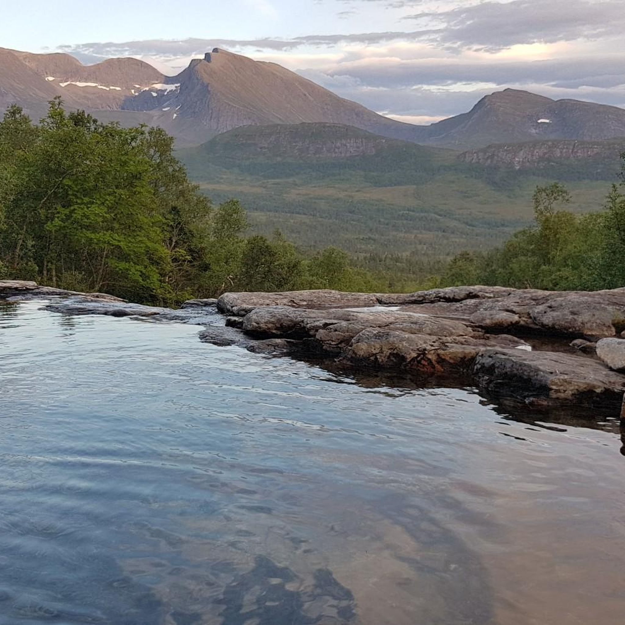
Tips from the Community

This panoramic road allows you to enjoy typical Norwegian views and an unforgettable experience.
0
0
Secondary road with nice view of the nature around, a good spot to enjoy the landscape.
0
0
From Sjøholt, you have a terrific view of Storfjorden, with spectacular mountains surrounding the area and framing the water year-round. The landscape blends majestic mountains, serene fjords, and lush forests, offering both alpine scenery and sweeping coastal views.
0
0

Partly busy, quite a few souvenir shops 🤙
0
1

Wonderful view of the breathtaking landscape!
3
0
The Knuten (German: Knoten, meaning knot) is a former road loop that spanned a change in elevation. The bridge was built without mortar from natural stone and still stands today. In modern times, a shorter and wider road was driven through the rock next to it, rendering the Knuten obsolete and leaving it as a historical relic. It's worth making a short stop here to admire this ancient engineering, especially since this "lost place" in the middle of nature has a special charm.
3
0

Facts about the Geirangerfjord The fjord is 15 km long, 1.5 km wide at its widest point, and 700 m deep at its deepest point. The area, which has been declared a UNESCO World Heritage Site, covers 498 km² and includes the fjord and the surrounding areas in the Stranda and Norddal counties.
1
0
Numerous waterfalls and free-flowing rivers, deciduous and coniferous woodlands and forests, glacial lakes, glaciers, rugged mountains and a range of other natural attributes combine towards making Geirangerfjord and Nærøyfjord among the most scenically outstanding landscapes in the world.
1
0
Frequently Asked Questions
How many road cycling routes are available around Stordal?
Stordal offers a selection of 7 road cycling routes, catering to various skill levels. These routes are highly rated by the komoot community, with an average score of 5.0 stars.
What kind of terrain and difficulty can I expect from road cycling routes in Stordal?
The terrain around Stordal is characterized by dramatic fjord and mountain landscapes, meaning routes often feature substantial elevation changes. You'll find a mix of moderate and difficult routes, some requiring very good fitness due to significant climbs and descents. While many surfaces are well-paved, some routes may include unpaved segments.
Are there any easy or beginner-friendly road cycling routes in Stordal?
While Stordal is known for its challenging topography, some routes are designated as moderate, offering a less strenuous experience compared to the most difficult climbs. However, there are no routes specifically classified as 'easy' for road cycling in the immediate area, suggesting a baseline level of fitness is generally recommended.
What are some notable landmarks or attractions I might see along the road cycling routes?
As you cycle, you might encounter stunning natural features. For instance, routes near Geiranger offer dramatic fjord landscapes. Other attractions in the broader region include the impressive Gudbrandsjuvet Gorge and the scenic Blåhornet Summit. You could also spot a beautiful Waterfall Near Geiranger.
What is the best season for road cycling in Stordal?
Given the mountainous and fjord-rich environment, the best season for road cycling in Stordal is typically during the warmer months, from late spring through early autumn (roughly May to September). This avoids the snow and ice that can make higher elevation passes impassable and ensures more stable weather conditions for challenging rides.
Are there any circular road cycling routes around Stordal?
Yes, several routes in the area are designed as loops. For example, the Geiranger Harbour – Geiranger Village loop from Sylte kyrkje offers a challenging ride through a dramatic fjord landscape. Another option is the Tjøreveden – Tudalsreset loop from Strandafjellet, which takes you through valleys and forests.
What do other road cyclists enjoy most about road cycling in Stordal?
The komoot community highly rates the road cycling experience in Stordal, with an average score of 5.0 stars. Cyclists frequently praise the breathtaking fjord and mountain vistas, the challenging yet rewarding climbs, and the diverse scenery that includes valleys and forests.
Are there any long-distance road cycling routes available?
Yes, Stordal offers routes that provide significant distances and durations. The Trollstigen Mountain Pass from Valldal, for instance, is a substantial 108.6 km (67.5 miles) trail that typically takes over 5 hours to complete, featuring significant climbs and panoramic views.
Are there options for family-friendly cycling in Stordal?
While many road cycling routes in Stordal involve significant elevation and are classified as moderate to difficult, the region does offer diverse terrain. For families or those seeking less strenuous rides, it's advisable to look for routes specifically designated as 'easy' or with minimal elevation gain, though these may not be numerous for road cycling directly in Stordal.
Is there public transport access to road cycling routes in Stordal?
The region's infrastructure supports tourism, but specific public transport options directly to trailheads for cyclists might be limited. It's recommended to research local bus services or ferry connections in advance, especially if planning to access routes that start further afield, such as those near Valldal or Geiranger.
Where can I find parking for road cycling routes in Stordal?
While specific parking areas for each route are not detailed, popular starting points for routes like those near Valldal or Sylte kyrkje often have designated parking facilities. It's advisable to check local maps or route descriptions for specific parking information at your chosen starting point.
Are there any less crowded road cycling trails in Stordal?
Stordal is part of a popular tourist region, but some routes might be less frequented than iconic ones like Trollstigen. Exploring the moderate-difficulty routes, such as the Einhammaren – Dalteigane loop from Fagervikan, could offer a more tranquil experience away from the busiest areas.
Most popular routes around Stordal
Most popular attractions around Stordal

Get inspired with the komoot mobile app


Explore more
Browse the best Road cycling routes in other regions.
