The best road cycling routes around Unterreichenbach
4.6
(633)
7,738
riders
208
rides
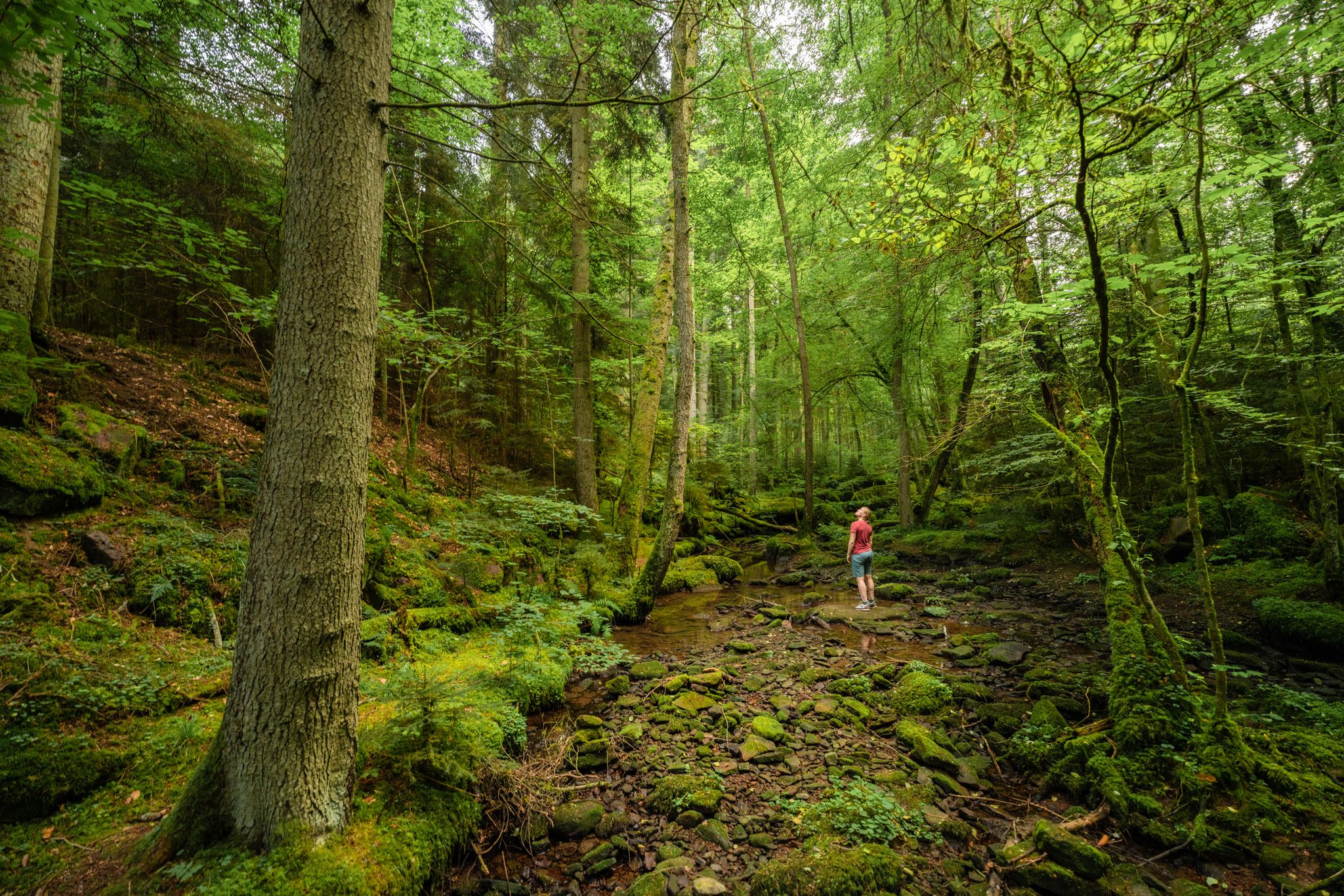
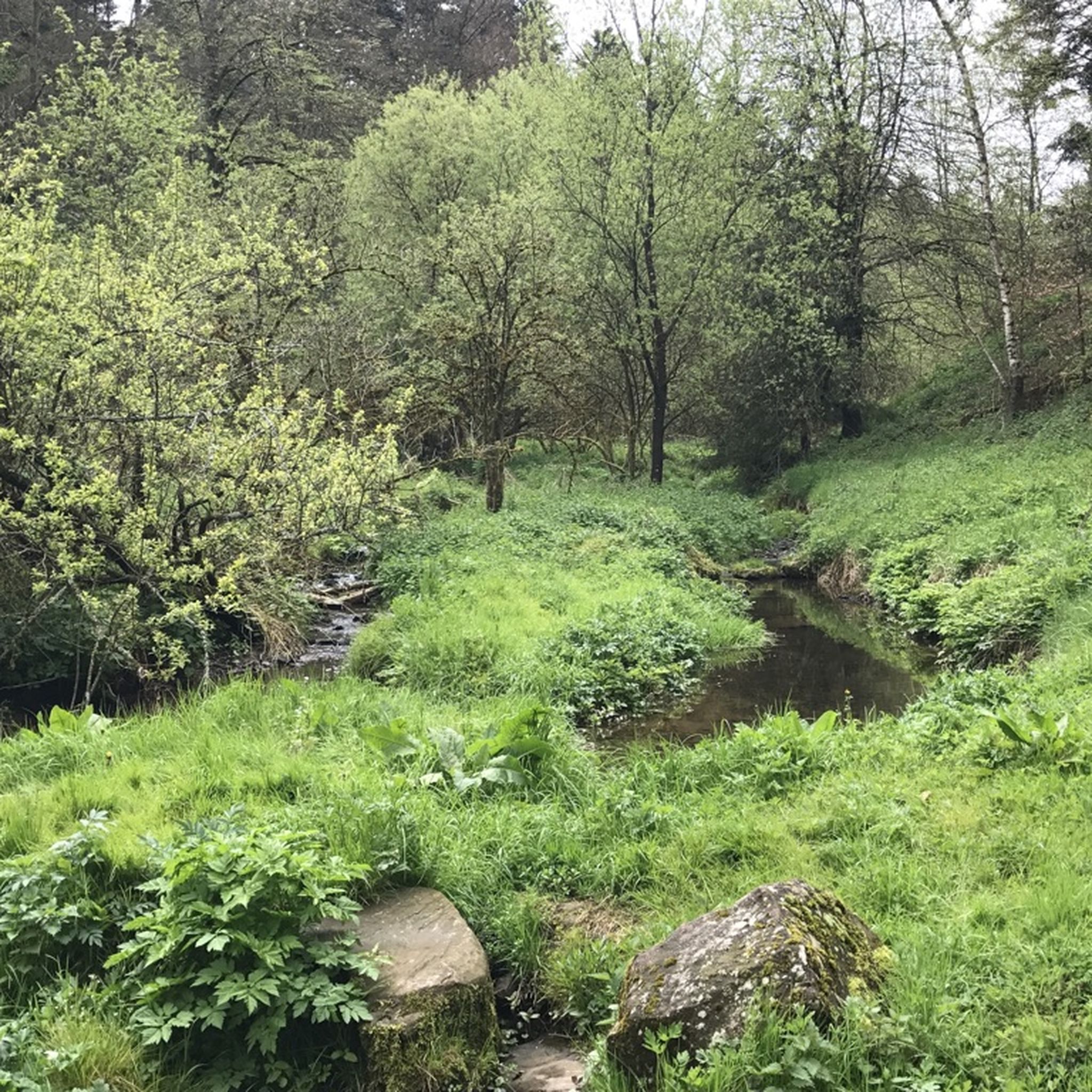
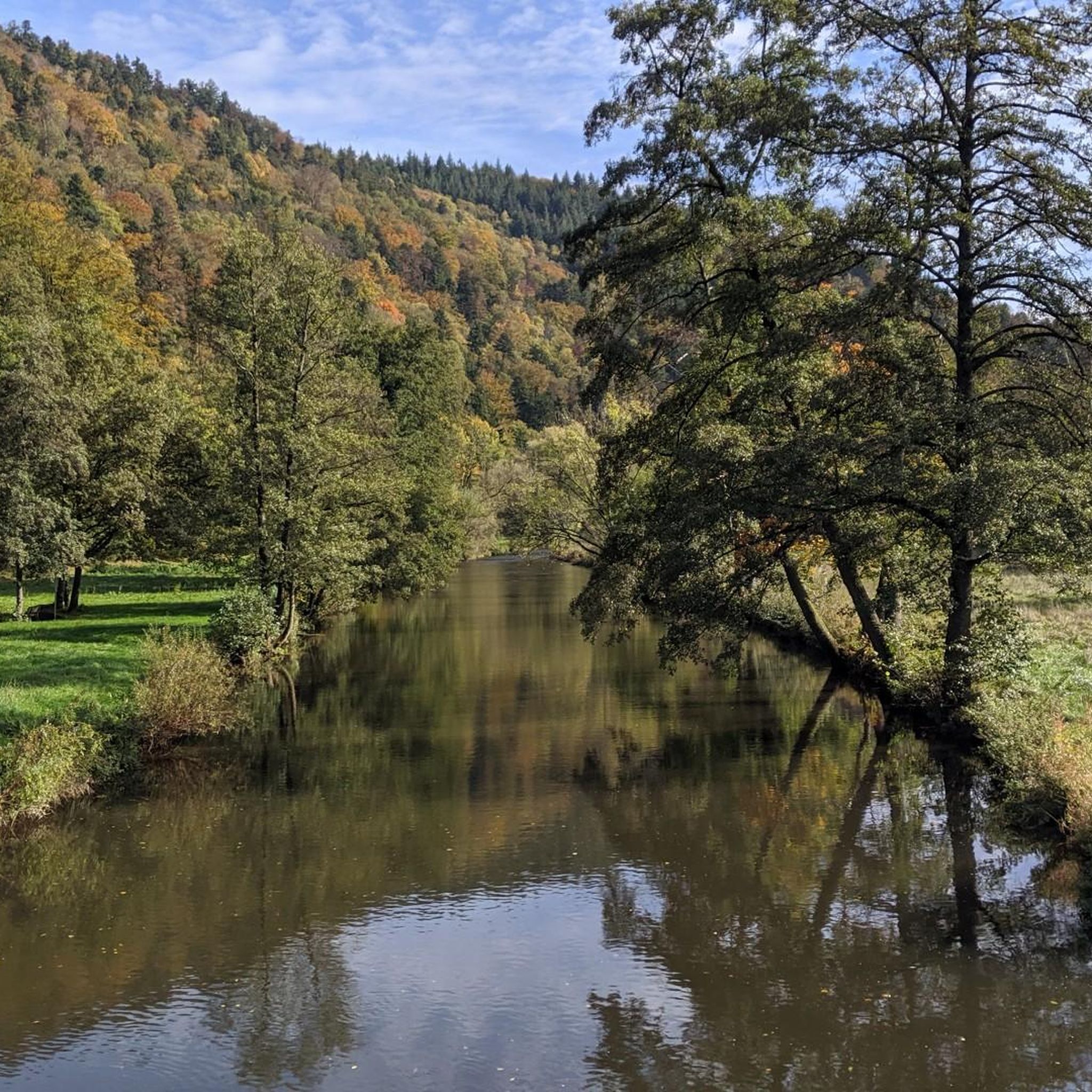
Road cycling routes around Unterreichenbach are set within the Northern Black Forest, characterized by dense forests, rolling hills, and picturesque river valleys. The region features a network of river valleys, including the Nagold and Enz, which offer varied terrain for road cyclists. Routes often include ascents through forested areas and descents into valleys, providing diverse cycling experiences. The landscape is defined by its natural beauty and undulating topography.
Best road cycling routes around Unterreichenbach
- The most popular road cycling route…
Last updated: June 29, 2026
4.6
(15)
382
riders
98.4km
05:33
2,120m
2,120m
Hard road ride. Very good fitness required. Some segments of this route may be unpaved and difficult to ride.
4.6
(77)
372
riders
51.7km
02:30
740m
740m
Moderate road ride. Good fitness required. Mostly well-paved surfaces and easy to ride.

Sign up for free
4.7
(7)
121
riders
125km
05:52
1,300m
1,300m
Hard road ride. Very good fitness required. Some segments of this route may be unpaved and difficult to ride.
5.0
(1)
42
riders
47.7km
02:25
780m
780m
Moderate road ride. Good fitness required. Mostly well-paved surfaces and easy to ride.
16
riders
65.1km
03:06
730m
730m
Moderate road ride. Good fitness required. Some segments of this route may be unpaved and difficult to ride.
Get access to more routes and recommendations from other explorers.
Sign up for free
Already have an account?
Our route recommendations are based on thousands of hikes, rides, and runs completed by other people on komoot.
Start today with a free account
Your next adventure awaits.
Login or Signup
Popular around Unterreichenbach

Other adventures around Unterreichenbach

Tips from the Community

Idyllic village with many half-timbered houses.
4
0

Absolute premium viewpoint over the timber-framed village of Reichental and the Murgtal valley, as well as Baden's local mountains. Especially worthwhile at sunset. However, it is also quite crowded because you can drive directly to it and park. In winter, when the snow tourists are out, there can sometimes be scuffles for the last parking space lol. In summer, there is a motorcycle meet here daily from noon until late at night. Many behave correctly - also towards cyclists - and because I am there very often, you already know one or two people you can have a nice chat with. Unfortunately, some testosterone-driven clowns with prepubescent cerebral cortex completely overdo it and accelerate full throttle again or even do wheelies to impress each other. Similar game with those who rent a sports car over the weekend and want to test the acceleration from 100 to 200 here again, without ever having completed a sporty/race-oriented driving safety training, but at best have "practiced" on Need for Speed on the PlayStation with a controller. This is not only incredibly unpleasant, but also extremely dangerous. Coming from the Enztal, when turning left into the parking lot, it is better to make sure 5 times that no one is coming. I never stay here long because of the sometimes aggressive atmosphere, even though a lounger would invite you to linger.
0
0

A worthwhile stopover for the view
0
0

Always beautiful to look at…
0
1

The Lengenbach, a tributary of the Nagold River, is dammed to create the Stadtsee (City Lake). A footpath encircles the lake, measuring just 300 meters. The walk is worthwhile, as the path offers a variety of scenic views. An information panel on the lake's shore explains that the Stadtsee was originally a reservoir for powering the waterwheel of the former Lower Mill. It also served as a trout pond, providing sustenance for the local fish. It remains unclear whether the dam was commissioned by Hirsau Abbey or by the local lords of the castle. Since 2013, a sandstone statue has stood on the lake's shore. It depicts the legendary giant "Erkinger," who once ruled Liebenzell Castle. As of 2021, the mill site located between the Stadtsee and St. Blasius Church awaits development. In this context, the Lengenbach stream is to flow above ground again from the city lake to the Nagold river. Housing and public parking are planned for the area.
1
0

A great road in itself. A bike path runs alongside it. Unfortunately, the road runs straight ahead, while the bike path zigzags 90° to 90° every 500 meters, and some of the tight curves are also covered in slippery gravel. The result: slow down to walking pace every 500 meters. So it's no wonder cyclists swerve onto the road where they can let it go.
0
0

Great place to take a break, you could sit here forever and enjoy the view
2
0

The town lake in Bad Liebenzell is located on the orographic left slope of the Nagold Valley, approximately 200 meters west of the Nagold River. The Lengenbach, a tributary of the Nagold River, is dammed in the town lake by a small dam. A footpath can be used to circumnavigate the town lake. The circular path is just about 300 meters long. Walking around the small lake is worthwhile, as new views continually open up along the way.
3
0
Frequently Asked Questions
How many road cycling routes are available around Unterreichenbach?
Unterreichenbach offers a wide variety of road cycling experiences, with over 200 routes available. These range from easy valley rides to challenging tours with significant elevation gains, catering to different fitness levels.
What kind of terrain can I expect on road cycling routes in Unterreichenbach?
The terrain around Unterreichenbach is characterized by the picturesque Northern Black Forest. You'll find a mix of dense forests, rolling hills, and idyllic river valleys, particularly along the Nagold and Enz rivers. Routes often include ascents through forested areas and descents into valleys, with many sections featuring well-maintained, paved surfaces suitable for road bikes.
Are there easy road cycling routes suitable for beginners in Unterreichenbach?
Yes, there are approximately 26 easy road cycling routes around Unterreichenbach. These often follow the gentler gradients of the river valleys, such as sections of the Nagold Valley Cycle Path, providing a pleasant experience for those new to road cycling or looking for a relaxed ride.
Where can I find challenging road cycling routes with significant climbs?
For experienced road cyclists seeking a challenge, Unterreichenbach offers about 74 difficult routes. These routes often feature considerable elevation gains as they climb through the forested hills of the Black Forest. An example is the Nagold Valley Cycle Path – Climb Erzgrube–Besenfeld loop from Unterreichenbach, which includes a significant ascent.
Are there any circular road cycling routes in the area?
Yes, many routes in the region are designed as loops, allowing you to start and finish in the same location. The "Valley Round in the Northern Black Forest" is a notable example, effectively connecting the Nagold Valley Bike Trail and the Enz Valley Bike Trail for a varied and scenic circular experience. You can also explore routes like the Nagold Valley Cycle Path – View of Loffenau loop from Monbach-Neuhausen.
What natural features or landmarks can I see along the road cycling routes?
The routes often pass through stunning natural landscapes. You might encounter the unique Monbachtal Gorge, or ride alongside the scenic Würm Valley and the Würm River. The region is part of the Naturpark Schwarzwald Mitte/Nord, ensuring ample natural beauty throughout your ride.
Are there routes that offer panoramic views?
Absolutely. Cycling in this area often rewards riders with breathtaking panoramic views of the Black Forest. Look out for viewpoints such as the Schwanner Warte Observation Tower & Viewpoint near Straubenhardt, or the Himmelsglück observation tower, which provide expansive vistas over the landscape.
What do other cyclists say about road cycling in Unterreichenbach?
The road cycling routes around Unterreichenbach are highly rated by the komoot community, with an average score of 4.6 stars from over 500 reviews. More than 7,000 road cyclists have used komoot to explore the varied terrain, often praising the scenic beauty and diverse cycling experiences.
Can I combine road cycling with cultural stops or charming towns?
Yes, many routes allow for cultural detours. You can cycle through small villages and historic half-timbered towns like Calw, the hometown of Hermann Hesse. Former monasteries in Wildberg and Hirsau also offer opportunities for cultural insights and breaks along your ride.
What are some of the longer road cycling routes in Unterreichenbach?
For those looking for longer distances, routes like the Nagold Valley Cycle Path – Climb Erzgrube–Besenfeld loop from Unterreichenbach cover approximately 125 km. Another extensive option is the Nagold Valley Cycle Path – View of Loffenau loop from Monbach-Neuhausen, which is about 98 km long, offering extensive riding with scenic views.
Are there options for parking near the road cycling trailheads?
While specific parking details vary by route, many starting points for road cycling routes in the Unterreichenbach area, especially in and around towns or popular access points to the river valleys, offer designated parking facilities. It's advisable to check the route details on komoot for specific parking recommendations for your chosen tour.
What is the best time of year for road cycling in Unterreichenbach?
The Northern Black Forest region is generally best for road cycling from spring through autumn. During these seasons, the weather is typically mild, and the natural beauty of the forests and valleys is at its peak. Summer offers longer daylight hours, while spring and autumn provide comfortable temperatures and vibrant foliage.
Most popular routes around Unterreichenbach
Most popular attractions around Unterreichenbach

Get inspired with the komoot mobile app


Explore more
Browse the best Road cycling routes in other regions.
