The best gravel rides around Unterreichenbach
4.5
(179)
906
riders
103
rides
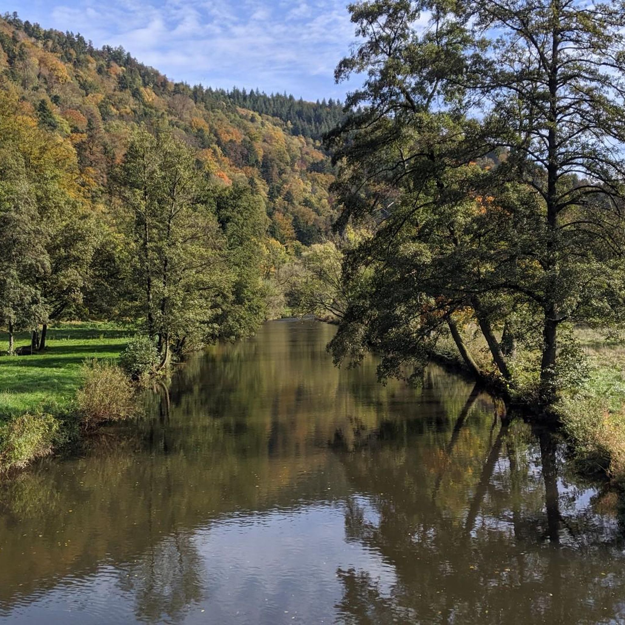
Gravel biking around Unterreichenbach features a landscape characterized by river valleys, rolling hills, and forested sections. The region offers varied terrain suitable for different gravel biking experiences, from paths alongside the Nagold River to routes ascending local hills. This area provides a mix of natural surfaces and well-maintained trails.
Best gravel bike trails around Unterreichenbach
- The most popular gravel bike trail is Beautiful view from the top – Hörnle and Geißberg loop from Bad Liebenzell, a 12.0 miles (19.4…
Last updated: July 2, 2026
4.8
(12)
9
riders
Moderate gravel ride. Good fitness required. Mostly paved surfaces. Suitable for all skill levels.
4.0
(6)
26
riders
24.7km
01:28
290m
290m
Moderate gravel ride. Good fitness required. Mostly paved surfaces. Suitable for all skill levels.

Sign up for free
4.7
(3)
15
riders
Hard gravel ride. Very good fitness required. Mostly paved surfaces. Suitable for all skill levels.
4
riders
Hard gravel ride. Very good fitness required. Mostly paved surfaces. Suitable for all skill levels.
4.7
(3)
13
riders
32.1km
02:10
600m
600m
Hard gravel ride. Very good fitness required. Mostly paved surfaces. Suitable for all skill levels.
Get access to more routes and recommendations from other explorers.
Sign up for free
Already have an account?
Our route recommendations are based on thousands of hikes, rides, and runs completed by other people on komoot.
Start today with a free account
Your next adventure awaits.
Login or Signup
Popular around Unterreichenbach
Other adventures around Unterreichenbach

Tips from the Community

Beautiful, well-paved stretch along the Nagold with a slight incline towards Nagold...
0
0

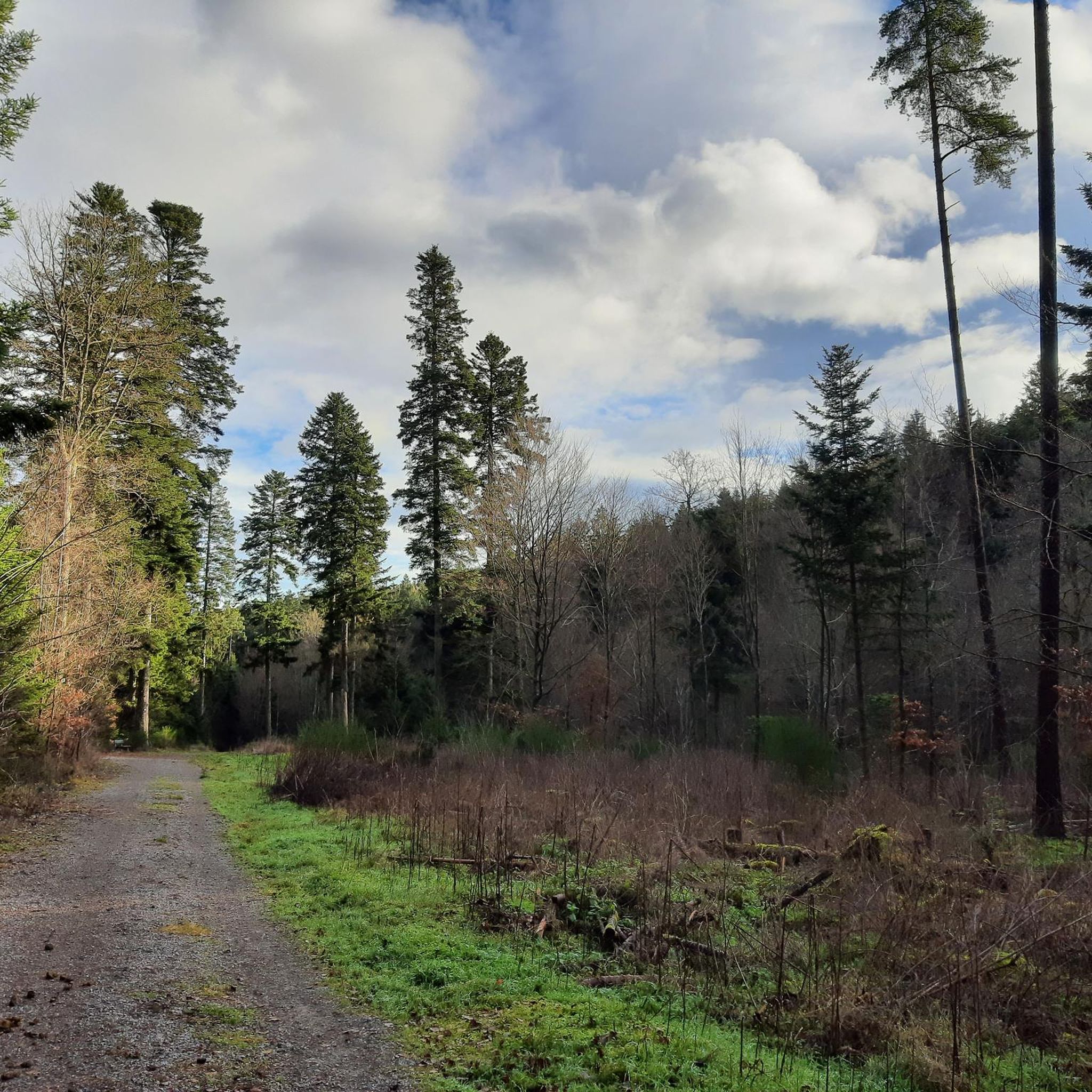
Softly padded paths wind through the dark fir forest 🌲🌲🌲
0
0

In summer there is a scooter track where you can also do laps on your racing bike, as long as you take care of the scooters.
0
1

Cycle path along the Enz
0
1

If there isn't much loose here, you can really let it rip
0
1
“The” cycle path between Unterreichenbach and Dillweisenstein.
0
1
A beautiful section with numerous sculptures along the way, it's well-visited by hikers and cyclists. Mutual consideration is encouraged here.
1
0

Covered wooden bridge over the Nagold with two bulges in the middle of the bridge.
12
0
Frequently Asked Questions
How many gravel bike trails are available around Unterreichenbach?
There are over 150 gravel bike trails around Unterreichenbach, offering a wide range of options for different skill levels. You'll find everything from easy routes to more challenging, difficult trails.
Are there any easy gravel bike trails suitable for beginners in Unterreichenbach?
Yes, Unterreichenbach offers a few easy gravel bike trails perfect for beginners. These routes typically feature gentler terrain along river valleys, allowing for a relaxed introduction to gravel biking in the region.
What kind of terrain can I expect on gravel bike trails near Unterreichenbach?
The terrain around Unterreichenbach is diverse, characterized by river valleys, rolling hills, and forested sections. You'll encounter a mix of natural surfaces and well-maintained trails, providing varied gravel biking experiences.
Are there any loop gravel bike trails in the Unterreichenbach area?
Many gravel bike trails in the Unterreichenbach area are designed as loops, allowing you to start and end at the same point. For example, the Rock formation – Nagold Valley Cycle Path loop from Huchenfeld is a popular moderate option that follows the Nagold Valley.
Where can I find scenic viewpoints on gravel bike routes near Unterreichenbach?
For scenic viewpoints, consider routes that ascend the local hills. The Beautiful view from the top – Hörnle and Geißberg loop from Bad Liebenzell is known for offering excellent views from elevated points.
Are there any gravel bike trails that pass by lakes or other natural attractions?
Yes, some gravel bike trails in the region will bring you close to natural attractions. You might encounter highlights like Lake Seehaus or Neubärental Pond, offering pleasant spots for a break.
What do other gravel bikers say about the trails in Unterreichenbach?
The gravel bike trails in Unterreichenbach are highly rated by the komoot community, with an average score of 4.6 stars from more than 270 reviews. Riders often praise the varied terrain and the beautiful natural surroundings, especially along the river valleys.
Are there any longer, more challenging gravel bike routes for experienced riders?
Experienced riders will find several challenging routes. The Hohe Warte (was dismantled) – View of Münklingen loop from Unterreichenbach is a difficult route covering over 45 km with significant elevation gain, offering a substantial ride.
Can I find gravel bike trails that follow the Nagold River?
Absolutely. The Nagold River Valley is a prominent feature of the region, and several gravel bike trails follow its course. The Nagold Valley Cycle Path – Nagold River Cycle Path loop from Monbach-Neuhausen is a longer trail that leads directly through the valley.
Are there any cafes or places to stop for refreshments along the gravel bike routes?
While specific cafes on every route aren't listed, the region does have options for refreshments. For example, near Lake Seehaus, you can find the Seehaus lakeside beer garden, which could be a pleasant stop on a nearby route.
What is the best time of year for gravel biking in Unterreichenbach?
The region's varied terrain, including forested sections and river valleys, makes it enjoyable for gravel biking across multiple seasons. Spring and autumn offer pleasant temperatures and beautiful scenery, while summer provides longer daylight hours. Winter conditions can vary, so checking local weather and trail conditions is advisable.
Are there any bike parks or dedicated mountain biking facilities nearby?
While this guide focuses on gravel biking, there are dedicated facilities for mountain biking in the broader area. You can find highlights like the Bikepark Engelsbrand or various flow trails in the Naturpark Schwarzwald Mitte/Nord, which might be of interest if you're looking for more technical riding.
Most popular routes around Unterreichenbach
Most popular attractions around Unterreichenbach

Get inspired with the komoot mobile app


Explore more
Browse the best Gravel rides in other regions.
