The best road cycling routes around Unterkatz
4.5
(137)
1,629
riders
84
rides
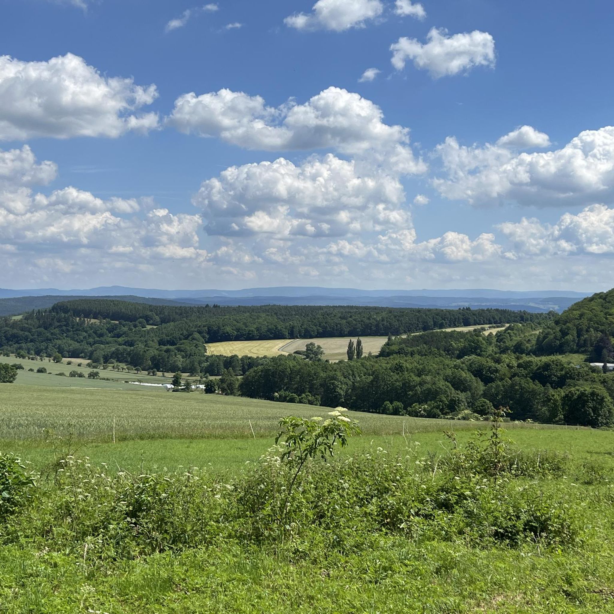
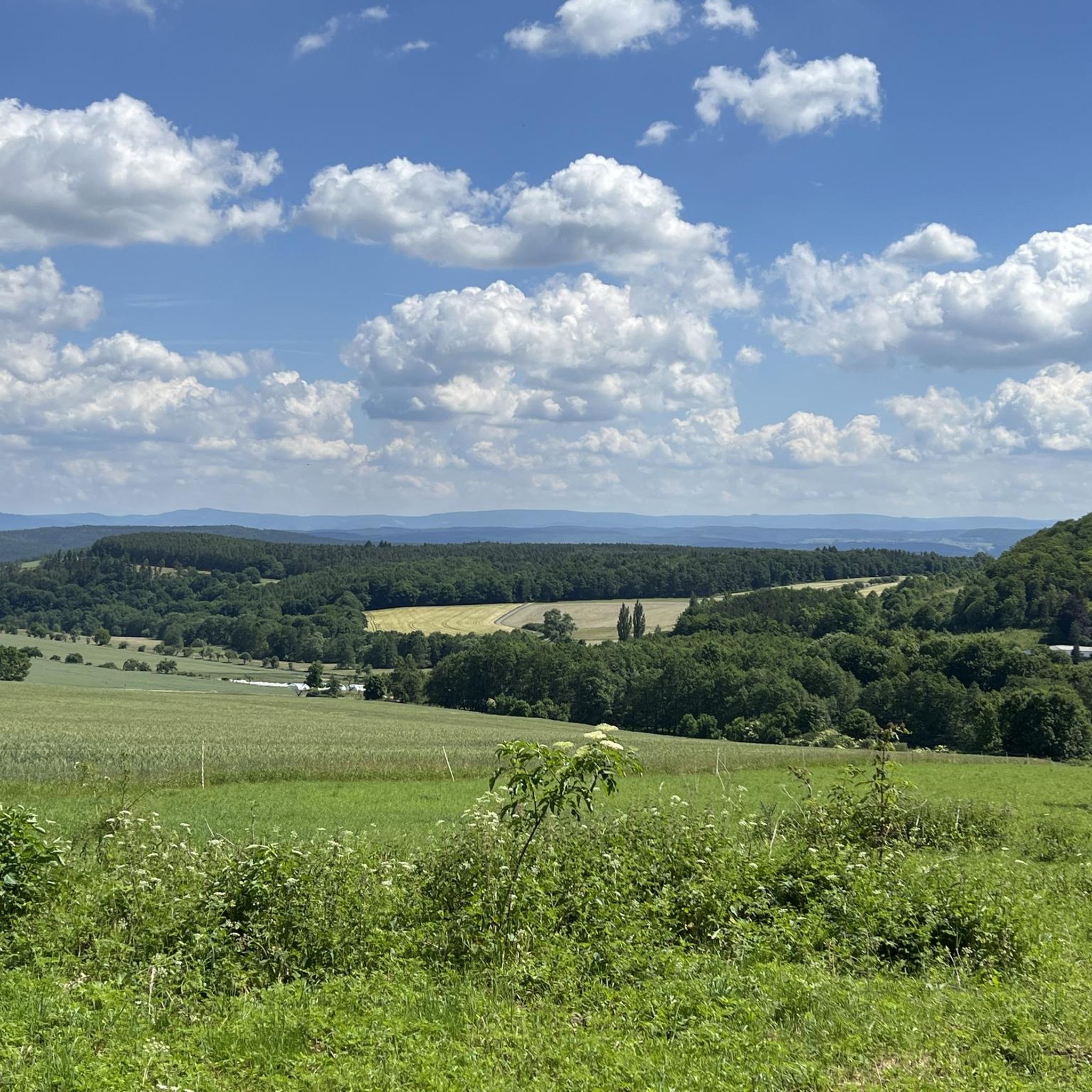
Road cycling routes around Unterkatz traverse a landscape characterized by rolling hills, river valleys, and rural roads. The region offers varied terrain, including both gentle gradients and more challenging ascents. Road cyclists can expect to encounter a mix of open countryside and forested sections. The area provides a network of routes suitable for different experience levels.
Best road cycling routes around Unterkatz
- The most popular road cycling route is Kirchenburg Walldorf – Along the Hasel loop from Helmershausen, a…
Last updated: July 1, 2026
12
riders
79.5km
03:25
690m
690m
Moderate road ride. Good fitness required. Some segments of this route may be unpaved and difficult to ride.
1.0
(1)
16
riders
29.1km
01:20
240m
240m
Easy road ride. Great for any fitness level. Mostly well-paved surfaces and easy to ride.

Sign up for free
13
riders
Moderate road ride. Good fitness required. Mostly well-paved surfaces and easy to ride.
4.0
(2)
10
riders
34.8km
01:32
340m
340m
Moderate road ride. Good fitness required. Some segments of this route may be unpaved and difficult to ride.
5.0
(1)
10
riders
Easy road ride. Great for any fitness level. Mostly well-paved surfaces and easy to ride.
Get access to more routes and recommendations from other explorers.
Sign up for free
Already have an account?
Our route recommendations are based on thousands of hikes, rides, and runs completed by other people on komoot.
Start today with a free account
Your next adventure awaits.
Login or Signup

Tips from the Community


Always beautiful and full of memories...
0
0

always up and down but great to ride
0
0

Beautiful little lake, ideal for unwinding.
0
0

...be sure to take some time for a break in Fladungen! There's a historic railway, a museum, and even a beer garden for a refreshing drink.
0
0

This linden tree has stood here since 1866; a bench next to its mighty trunk invites you to take a break.
1
0

Frequently Asked Questions
How many road cycling routes are available around Unterkatz?
There are over 80 road cycling routes around Unterkatz, offering a diverse range of options for different skill levels and preferences.
Are there easy road cycling routes suitable for beginners or families in Unterkatz?
Yes, Unterkatz offers several easy road cycling routes. For a relaxed ride, consider the Meininger State Theatre – Kirchenburg Walldorf loop from Stepfershausen, an 18.1-mile (29.2 km) path that provides a gentle introduction to the local landscape.
What kind of terrain can I expect on road cycling routes in Unterkatz?
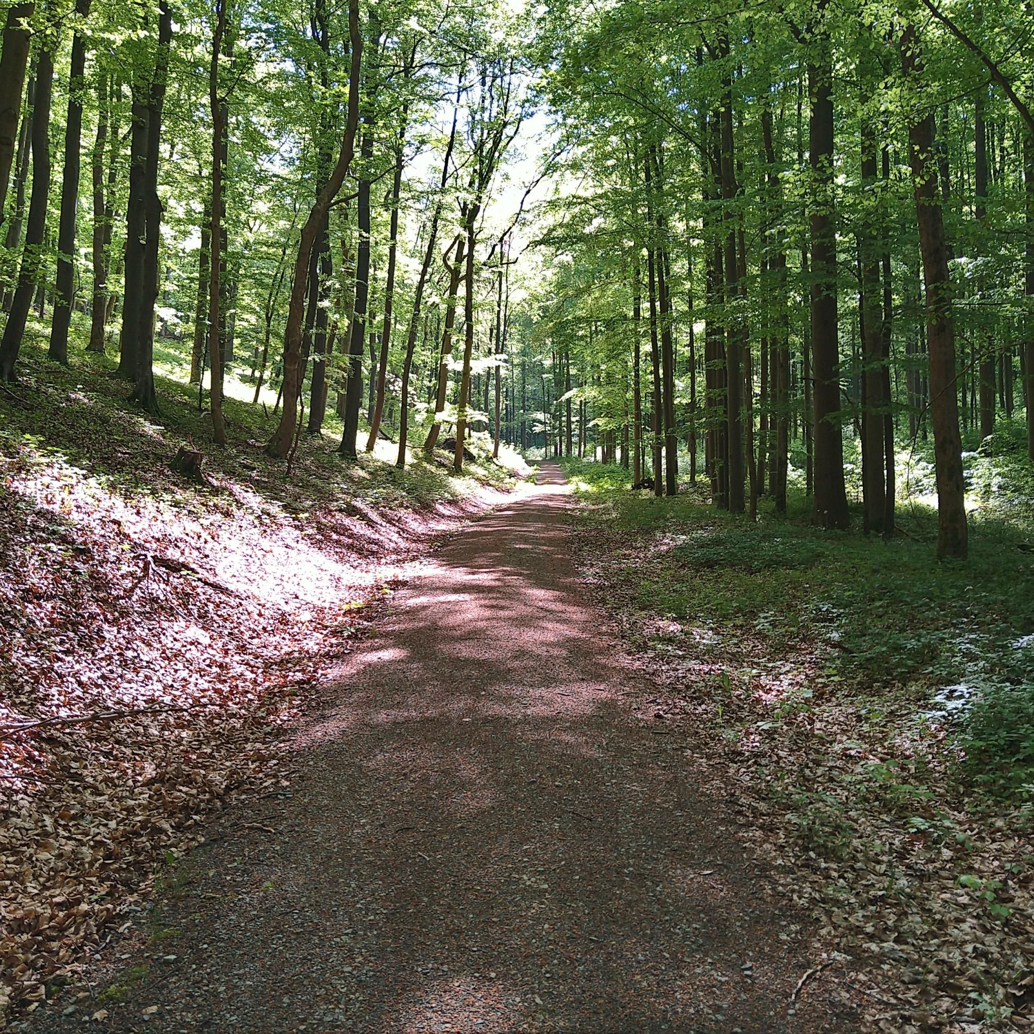
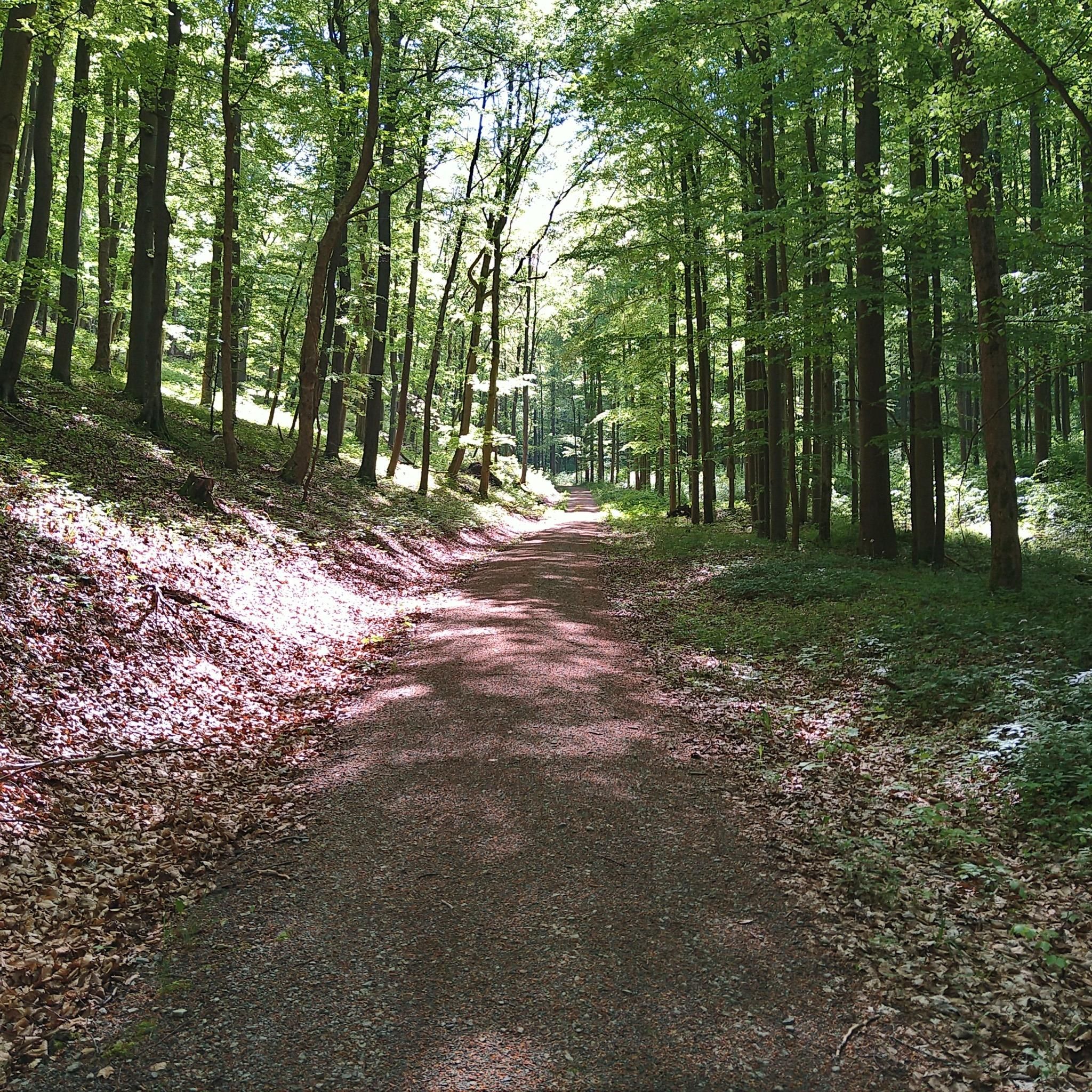
Road cycling routes around Unterkatz are characterized by rolling hills, picturesque river valleys, and quiet rural roads. You'll encounter a mix of open countryside and forested sections, with both gentle gradients and some more challenging ascents.
Are there any circular road cycling routes in the Unterkatz area?
Many routes in Unterkatz are designed as loops. A popular moderate circular route is the Kirchenburg Walldorf – Along the Hasel loop from Helmershausen, which covers 49.4 miles (79.5 km) through varied rural scenery.
What are some notable landmarks or attractions I can see along road cycling routes?
The region offers several historical and natural points of interest. You might pass by the historic Kirchenburg Walldorf or enjoy views from various summits like Hohe Geba Summit. The Fladungen–Heufurt Cycle Path – Fladungen Museum Railway loop from Helmershausen, for instance, leads past historical points.
What is the best time of year for road cycling in Unterkatz?
The best time for road cycling in Unterkatz is typically from spring through autumn, when the weather is mild and the landscape is vibrant. The region's rolling hills and rural roads are particularly enjoyable during these seasons.
Are there more challenging routes for experienced road cyclists?
Yes, for experienced cyclists seeking a challenge, Unterkatz offers 22 difficult routes. These routes feature significant elevation gains and longer distances, providing a rewarding experience through the region's more demanding terrain.
What do other road cyclists enjoy most about cycling in Unterkatz?
The road cycling routes in Unterkatz are highly rated by the komoot community, with an average score of 4.5 stars from over 130 reviews. Cyclists often praise the varied terrain, the mix of open countryside and forested sections, and the well-maintained rural roads.
Are there any moderate-difficulty routes that offer a good balance of challenge and scenery?
Absolutely. A great option for a moderate ride is the Mühlberg Loop (406 m a.s.l.) loop from Bettenhausen. This 21.2-mile (34.1 km) route offers a balanced challenge with scenic views, typically taking around 1 hour 30 minutes to complete.
Where can I find parking for road cycling routes in Unterkatz?
Many road cycling routes around Unterkatz start from villages like Helmershausen or Stepfershausen, where public parking is often available. It's advisable to check specific route descriptions on komoot for detailed trailhead information and parking suggestions.
Can I find routes that are shorter but still offer good views?
Yes, for a shorter ride with scenic elements, consider the Bernhardtslinde – Hilly landscape near Sülzfeld loop from Bettenhausen. This 13.1-mile (21.1 km) easy route takes you through a hilly landscape, offering pleasant views without requiring a full day's commitment.
Most popular attractions around Unterkatz

Get inspired with the komoot mobile app


Explore more
Browse the best Road cycling routes in other regions.
