The best running trails around Unterkatz
4.5
(59)
560
runners
72
runs
Jogging around Unterkatz offers a network of routes through varied terrain. The region features a mix of open landscapes and areas with elevation changes, including the Hohe Geba Summit. Running trails often connect local villages such as Stepfershausen, Bettenhausen, and Solz. This area provides options for both moderate and challenging running experiences.
Best jogging routes around Unterkatz
- The most popular jogging route is Gebaweg Premium Trail – Hohe Geba Summit loop from Hohe Geba, an 8.3 miles (13.4 km)…
Last updated: July 1, 2026
29
runners
13.4km
01:32
290m
290m
Moderate run. Good fitness required. Mostly accessible paths. Some sure footedness required.
10
runners
12.9km
01:35
430m
430m
Hard run. Very good fitness required. Sure-footedness, sturdy shoes and alpine experience required.

Sign up for free
4
runners
14.9km
01:37
200m
200m
Moderate run. Good fitness required. Mostly paved surfaces. Suitable for all skill levels.
5
runners
8.20km
00:52
100m
100m
Moderate run. Good fitness required. Mostly paved surfaces. Suitable for all skill levels.
5
runners
Moderate run. Good fitness required. Mostly paved surfaces. Suitable for all skill levels.
Get access to more routes and recommendations from other explorers.
Sign up for free
Already have an account?
Our route recommendations are based on thousands of hikes, rides, and runs completed by other people on komoot.
Start today with a free account
Your next adventure awaits.
Login or Signup

Tips from the Community

Great hut with summit book, very well maintained.
8
0
Always worth a photo
8
0

Perfect in the rain or even as an emergency bivouac
0
0

what a beautiful landscape
0
0
Churches are always worth a visit, and these ones, with their unique architecture, are especially so. They offer travelers a place to relax and rest.
0
0
There are plenty of well-signposted hiking trails in this truly beautiful Rhön Biosphere Reserve.
0
0
actually worth a photo for me too
0
0

Frequently Asked Questions
How many running routes are available around Unterkatz?
There are over 70 running routes in the Unterkatz region, offering a wide variety of terrain and difficulty levels. You'll find options ranging from easy jogs to more challenging trails.
Are there any easy running routes suitable for beginners in Unterkatz?
Yes, Unterkatz offers several easy running routes perfect for beginners. There are 9 routes classified as easy. A good option to start with is the Running loop from Stepfershausen, which is about 8.2 km long with moderate elevation changes.
What are some challenging running trails in the Unterkatz area?
For those seeking a challenge, Unterkatz has 14 difficult running trails. A particularly demanding option is the Gebaweg Premium Trail – Hohe Geba Summit loop from Stepfershausen. This 12.9 km route features significant elevation gain, providing a strenuous workout and panoramic views.
Are there running routes of specific lengths, like 5k or 10k, in Unterkatz?
While routes aren't strictly categorized by 5k or 10k, many fall within or close to these distances. For example, the Running loop from Stepfershausen is approximately 8.2 km, making it a great option for a 5k-10k distance. You can also find longer routes, such as the Gebaweg Premium Trail – Hohe Geba Summit loop from Hohe Geba at 13.4 km.
What kind of scenery can I expect on the running trails around Unterkatz?
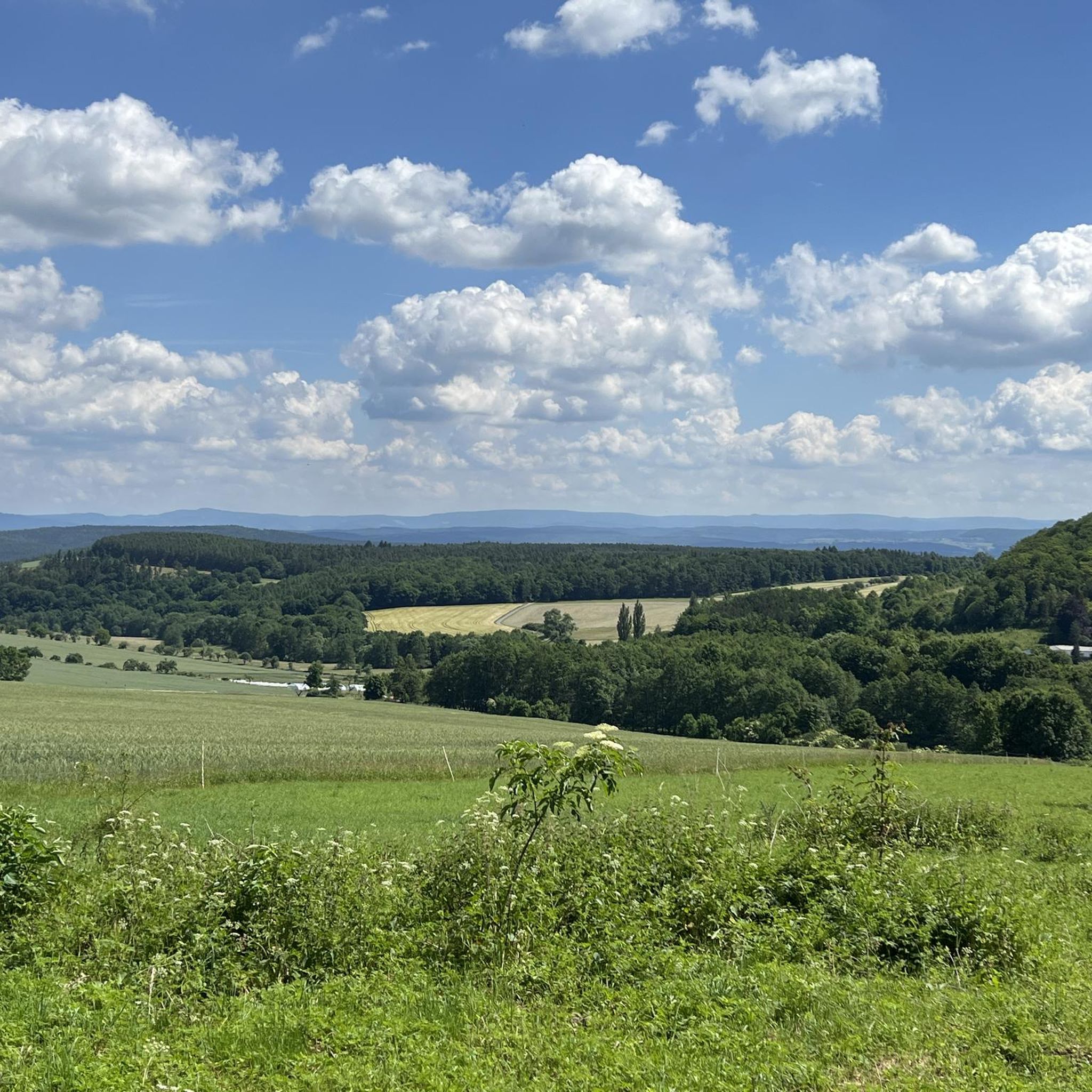
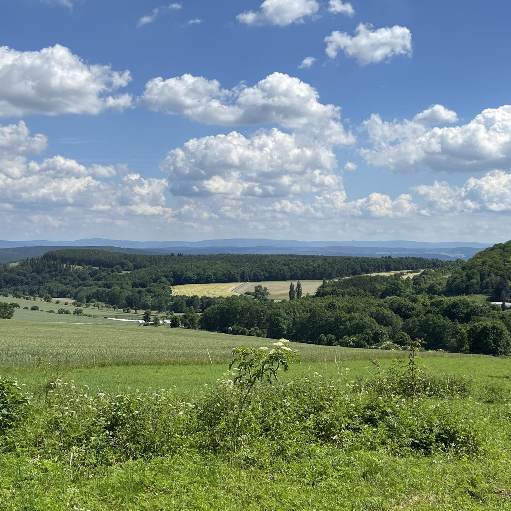
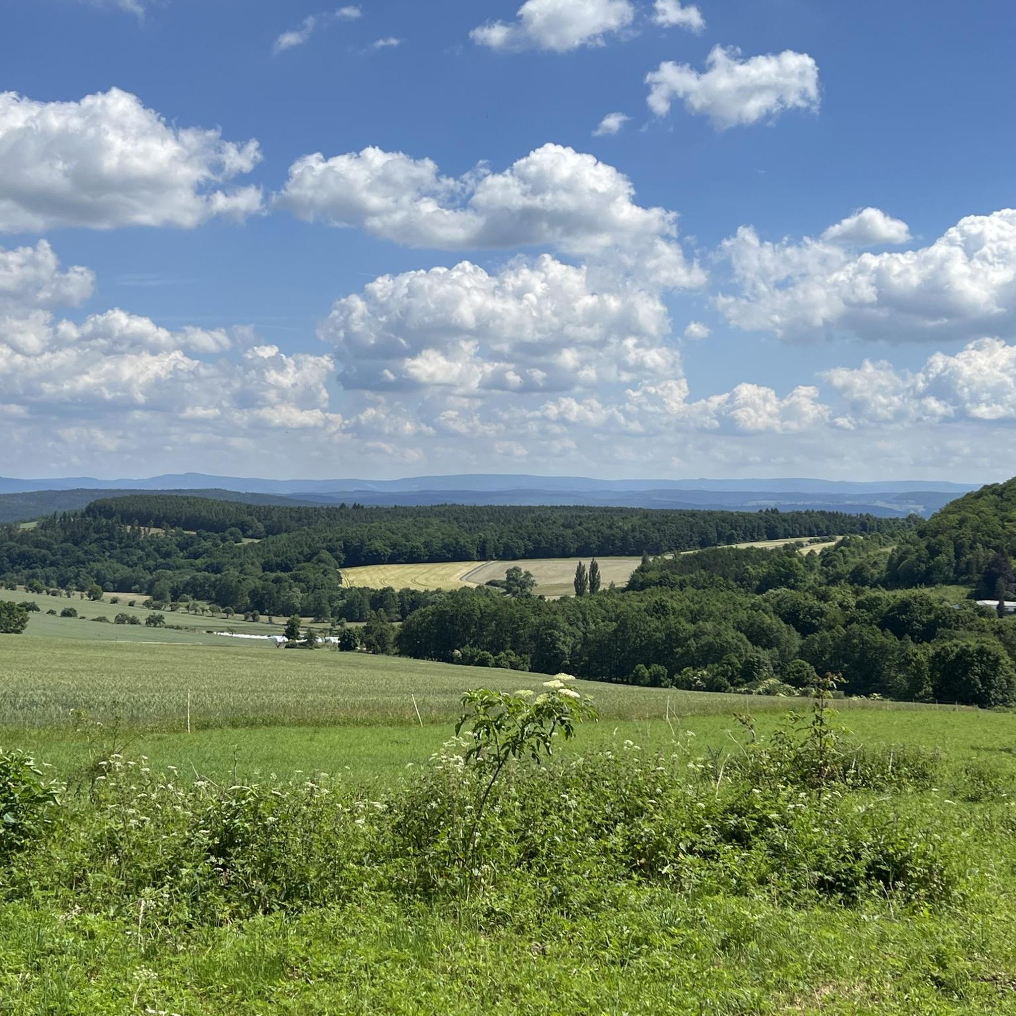
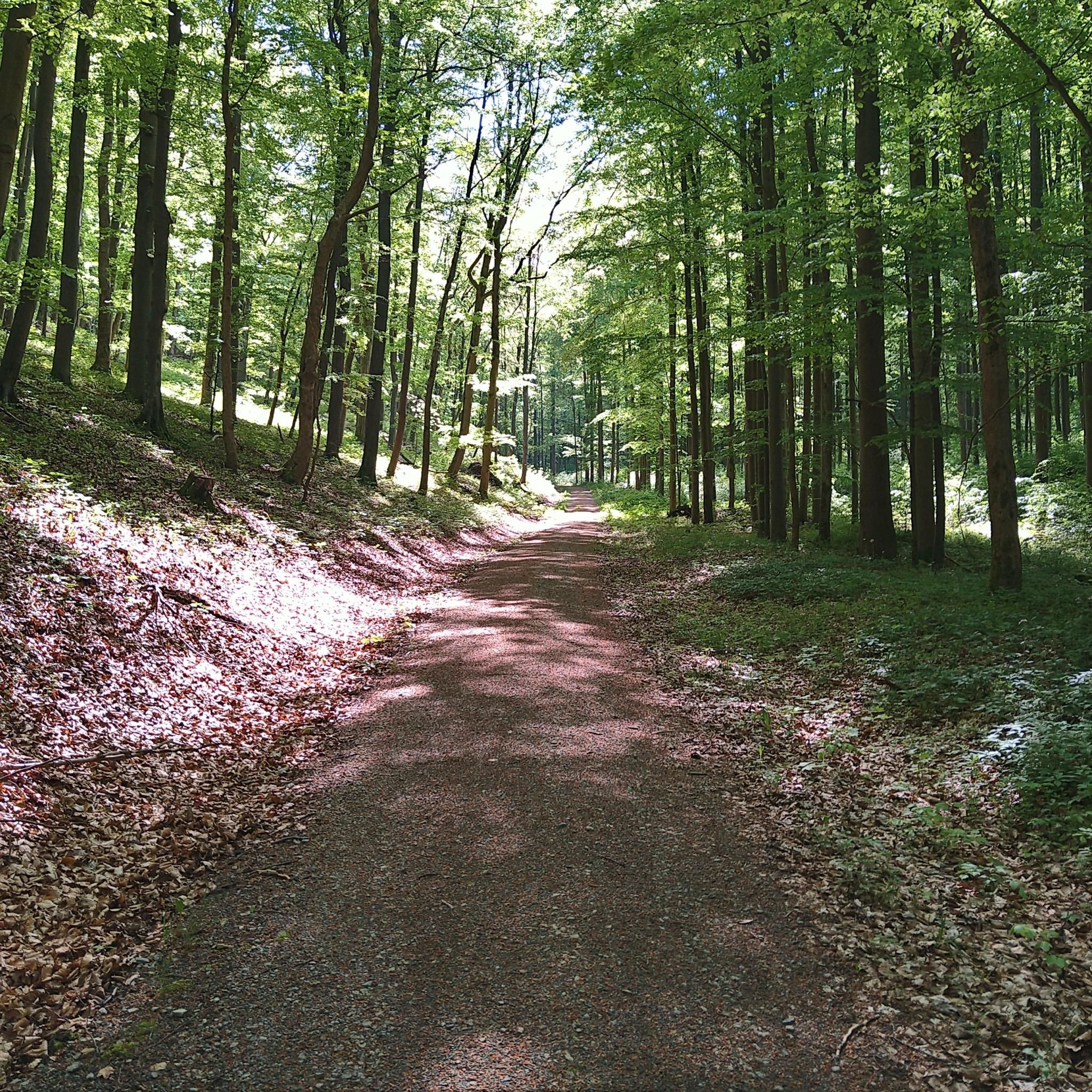
The running routes around Unterkatz offer diverse scenery, from open landscapes to areas with elevation changes. You'll often find yourself running through rural paths connecting local villages. Many trails, especially those ascending to the Hohe Geba Summit, provide panoramic views of the surrounding region.
Are there any notable landmarks or attractions along the running routes in Unterkatz?
Yes, several routes offer access to interesting natural and historical sites. For instance, some trails pass near the Hohe Geba Summit, offering stunning views. You might also encounter highlights like the Hexenpfad Fischbach or the Sternplatz and the Adolfstein Memorial, which are part of the region's natural monuments.
What do other runners say about the trails in Unterkatz?
The running routes in Unterkatz are highly rated by the komoot community, with an average score of 4.4 stars from over 50 reviews. Runners often praise the varied terrain, the mix of moderate climbs and scenic viewpoints, and the well-maintained paths that connect local villages.
Are the running routes in Unterkatz typically circular?
Yes, many of the running routes in Unterkatz are designed as circular loops, allowing you to start and finish at the same point. This is convenient for exploring the area without needing to arrange transport back to your starting location. For example, the Running loop from Bettenhausen is a popular circular option.
When is the best time of year to go running in Unterkatz?
The Unterkatz region is generally suitable for running throughout much of the year. Spring and autumn offer pleasant temperatures and beautiful scenery with changing foliage. Summer is also great, though it's advisable to run in the mornings or evenings to avoid the midday heat. Winter running is possible, but be prepared for colder temperatures and potentially icy or snowy conditions on higher elevations like the Hohe Geba Summit.
Are there any running routes that pass by lakes or reservoirs in Unterkatz?
While the primary focus of these routes is the varied terrain and summit views, the broader region around Unterkatz does feature some water bodies. You might find routes that offer glimpses of or pass near the Grimmelbach Reservoir or the Filke Fishing Ponds, which are popular local spots.
Where can I find parking for the running trails in Unterkatz?
Parking availability varies by starting point. For routes originating from villages like Stepfershausen, Bettenhausen, or Solz, you can often find public parking within the village. For trails like those around the Hohe Geba Summit, designated parking areas are usually available near common access points. It's always a good idea to check the specific route details on komoot for recommended parking locations.
Most popular attractions around Unterkatz

Get inspired with the komoot mobile app


Explore more
Browse the best Running Trails & Routes in other regions.
