The best running trails around Santa Croce Sull'Arno
4.4
(118)
1,319
runners
18
runs
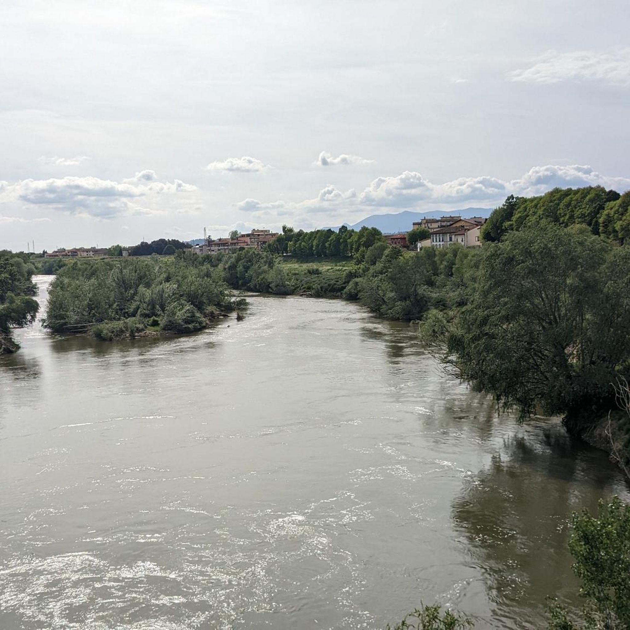
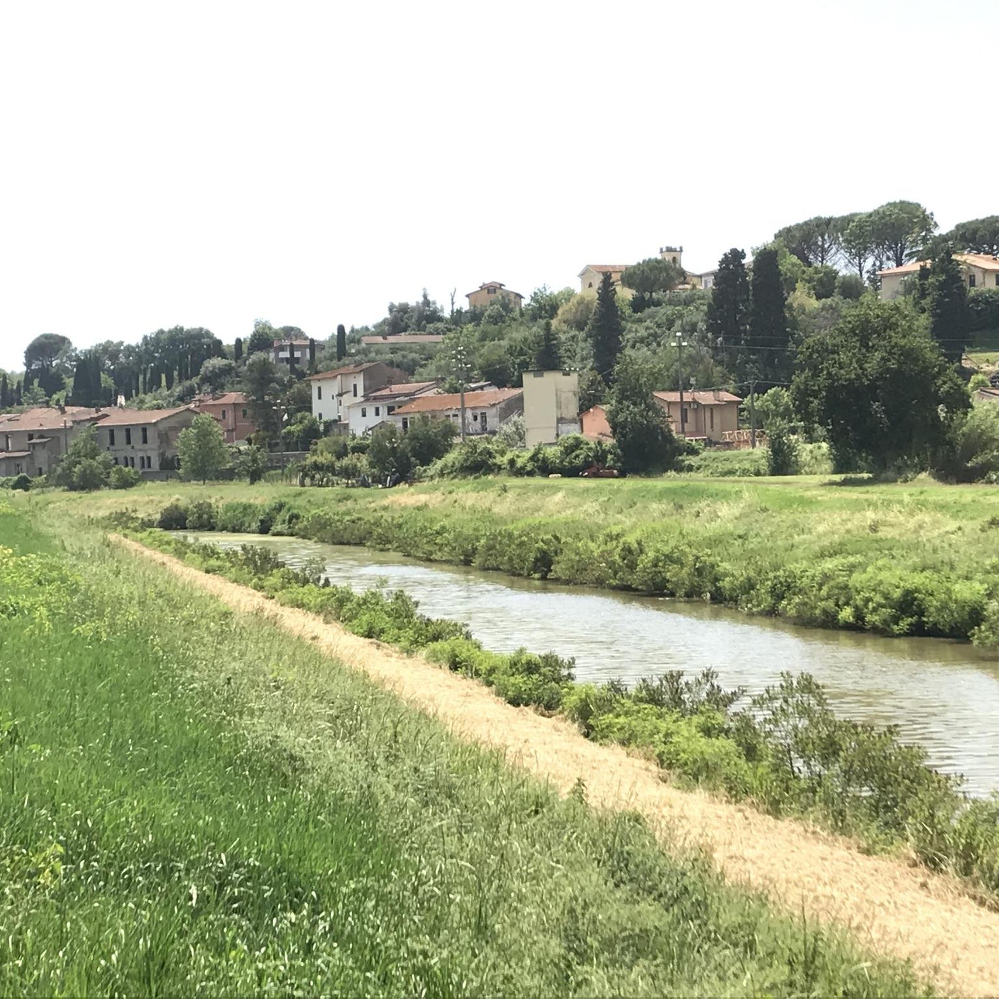
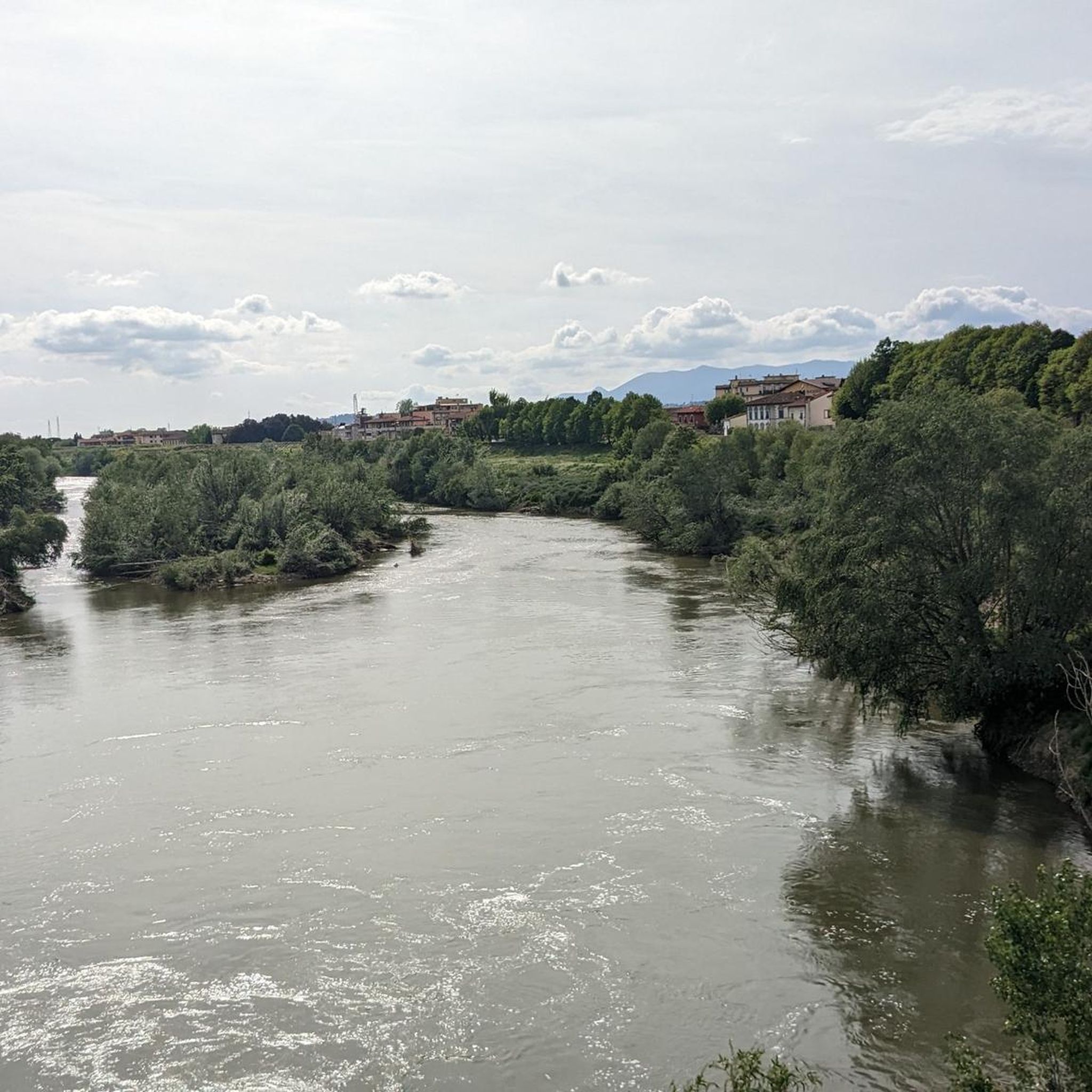
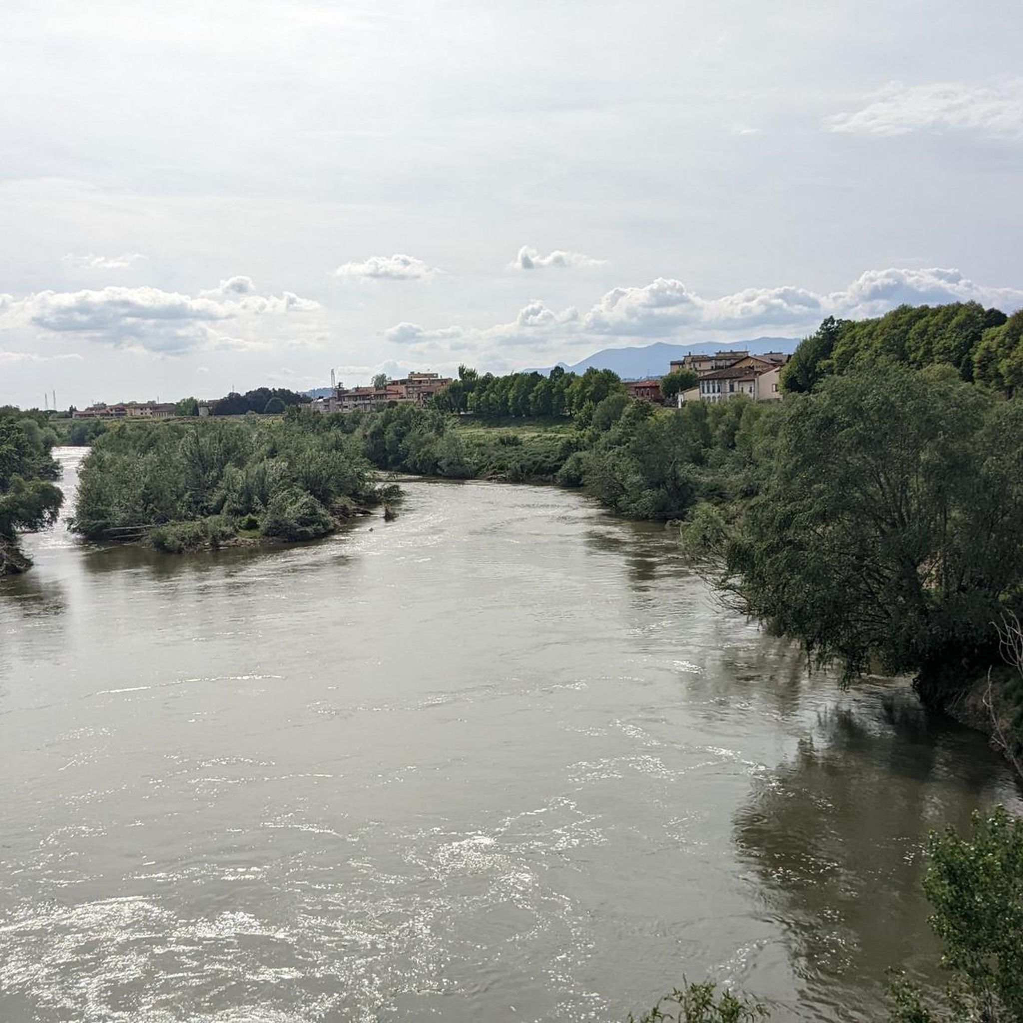
Jogging around Santa Croce Sull'Arno offers diverse terrain, from riverside paths along the Arno to elevated routes through rolling hills. The region is characterized by its position on the Arno River, meeting the Egola stream, and surrounded by the Cerbaie Hills. This provides a mix of flatter plains and more challenging inclines, suitable for various running preferences.
Best jogging routes around Santa Croce Sull'Arno
- The most popular jogging route is Running loop from Galleno, a 12.1 miles (19.5 km)…
Last updated: June 29, 2026
3.0
(1)
53
runners
19.5km
02:11
180m
180m
Hard run. Very good fitness required. Mostly paved surfaces. Suitable for all skill levels.
5.0
(2)
10
runners
6.53km
00:40
10m
10m
Moderate run. Good fitness required. Mostly paved surfaces. Suitable for all skill levels.

Sign up for free
7
runners
14.5km
01:32
160m
160m
Moderate run. Good fitness required. Mostly paved surfaces. Suitable for all skill levels.
8
runners
10.8km
01:08
30m
30m
Moderate run. Good fitness required. Mostly paved surfaces. Suitable for all skill levels.
3
runners
17.3km
01:49
110m
110m
Hard run. Very good fitness required. Mostly paved surfaces. Suitable for all skill levels.
Get access to more routes and recommendations from other explorers.
Sign up for free
Already have an account?
Our route recommendations are based on thousands of hikes, rides, and runs completed by other people on komoot.
Start today with a free account
Your next adventure awaits.
Login or Signup
Tips from the Community

I had high hopes for this stretch. But I have to say I found it in terrible condition, and I'm very disappointed, because I could have promoted it on my tours and brought my clients there. I'm very disappointed that the much-hyped Via Francigena isn't kept in good condition. Just before Galleno, I also found a fallen tree that I had to climb over with my bike, and a second one is about to fall. After that? It's not much better.
0
0

Only suitable for MTB.
0
2

Nice road with little traffic
2
0

The return is along the Via Francigena
1
0

After Lauds in the shade of a small village church, the crossing of the ridge to the Arno Valley on the Via Francigena began. The track was very difficult to drive. Forest paths made of hard-packed and parched clay soil, in which countless riders and mountain bikers had left their tracks on wet days, alternating with slippery gravel on steep inclines; all in all a sporting challenge.
2
1

The characteristics of this first cycling day are: 1) the beautiful track on a flat and fairly regular dirt road in the middle of bushes and woods, from Galleno to Ponte a Cappiano, on the remains of the ancient Francigena; 2) the rather unpleasant stretch between Fucecchio and San Miniato, in the midst of daily traffic, increased by the noisy (and foul-smelling) manifestation of the Mille Miglia, with 700 cars parade, 3) the lonely stretch between San Miniato and Gambassi, in the open and with frequent climbs on dirt roads and paths, among flowering hills and cultivated fields; 3) the excellent Sigerico hostel near the beautiful church of S. Maria a Chianni, near Gambassi (25 € for overnight stay, dinner and buffet breakfast).
1
1
In the initial part of the stage from Altopascio to San Miniato, at the end of the hamlet of Galleno, you come across a beautiful stretch of the ancient Via Francigena as it was in past times: the track begins with a cobblestone road (initially parallel to the state road) that soon goes into the woods on a fairly flat and easy footpath, rideable also by a city-bike. After the wild and deserted Cerbaie hill, you descend towards Ponte a Cappiano, where a hostel has been achieved inside the ancient Medici bridge.
4
0
Galleno is a little town located in the innermost of the “Cerbaie” (an area astride of the provinces of Florence, Lucca and Pisa); it owes its original development in the Middle Ages to the presence of the intersection between the road that led to Pescia and the Tuscan leg of the Via Francigena that connects Altopascio to San Miniato. Just because of its position as a crossroad, it was the seat of a hostel for travellers and pilgrims. A stretch of pavement of the ancient route of the Via Francigena is still visible for some hundreds of meters.
3
0
Frequently Asked Questions
How many running routes are available in Santa Croce Sull'Arno?
There are over 20 running routes around Santa Croce Sull'Arno, offering a variety of experiences from riverside paths to hilly trails. You'll find options suitable for different fitness levels.
What kind of terrain can I expect on running routes in Santa Croce Sull'Arno?
The region offers diverse terrain. You can expect flat, scenic paths along the Arno River, as well as more challenging, elevated routes through the rolling Cerbaie Hills and the protected area of Poggio Adorno. Some routes also pass through the town's historic center and plains.
Are there easy running routes for beginners in Santa Croce Sull'Arno?
Yes, there are several moderate routes suitable for beginners or those looking for a less strenuous run. For example, the Running loop from Santa Croce sull'Arno is a relatively flat 4-mile path directly from the town center. Many routes along the Arno River also offer gentler terrain.
Are there challenging running routes with elevation in the area?
Absolutely. For a more demanding run, consider routes that venture into the Cerbaie Hills. The Running loop from Galleno is a difficult 12-mile trail with significant elevation gain, offering varied terrain and panoramic views.
Are there any circular running routes in Santa Croce Sull'Arno?
Many of the running routes in Santa Croce Sull'Arno are designed as loops, allowing you to start and finish in the same location. Examples include the Running loop from Santa Croce sull'Arno and the Running loop from Staffoli.
What scenic spots or landmarks can I see while running?
You can incorporate historical and natural landmarks into your runs. The Medici Bridge at Ponte a Cappiano is a notable 16th-century landmark often featured in routes. You might also encounter the Arno River itself, the rolling Cerbaie Hills, and the charming historic center of Santa Croce Sull'Arno.
Can I bring my dog on the running trails in Santa Croce Sull'Arno?
Yes, many trails in the area are dog-friendly, especially those in natural settings like the Cerbaie Hills or along the Arno River. Santa Croce Sull'Arno also has a Giardini Pubblici Dog Park, indicating a generally welcoming attitude towards dogs in green spaces. Always keep your dog on a leash and clean up after them.
Are there family-friendly running paths in Santa Croce Sull'Arno?
For families, flatter and shorter routes are ideal. Consider paths within the town or along the Arno River, which often have accessible surfaces. The Running loop from Santa Croce sull'Arno is a moderate, relatively flat option that could be suitable for families.
What do other runners say about the routes in Santa Croce Sull'Arno?
The running routes in Santa Croce Sull'Arno are highly regarded by the komoot community, with an average rating of 4.5 stars from over 130 reviews. Runners often praise the diverse landscapes, from quiet woodlands to scenic riverside paths, and the variety of options for different skill levels.
What is the best time of year for running in Santa Croce Sull'Arno?
Spring and autumn generally offer the most pleasant conditions for running in Tuscany, with mild temperatures and beautiful scenery. Summer can be hot, so early morning or late evening runs are recommended. Winter runs are also possible, though some trails in the hills might be muddy after rain.
Where can I find parking near the running trails?
Parking is generally available in the towns and villages where routes begin, such as Santa Croce Sull'Arno, Galleno, Staffoli, or Fucecchio. Look for public parking areas near the starting points of the trails. Specific parking details may vary by route.
Is it possible to reach running trails by public transport?
While some routes might be accessible via local bus services to towns like Santa Croce Sull'Arno, Galleno, or Fucecchio, direct public transport to all trailheads can be limited. It's advisable to check local bus schedules for specific routes if you plan to rely on public transportation.
Most popular routes around Santa Croce Sull'Arno
Most popular attractions around Santa Croce Sull'Arno

Get inspired with the komoot mobile app


Explore more
Browse the best Running Trails & Routes in other regions.
