The best walks and hikes around Santa Croce Sull'Arno
4.4
(687)
2,414
hikers
250
hikes
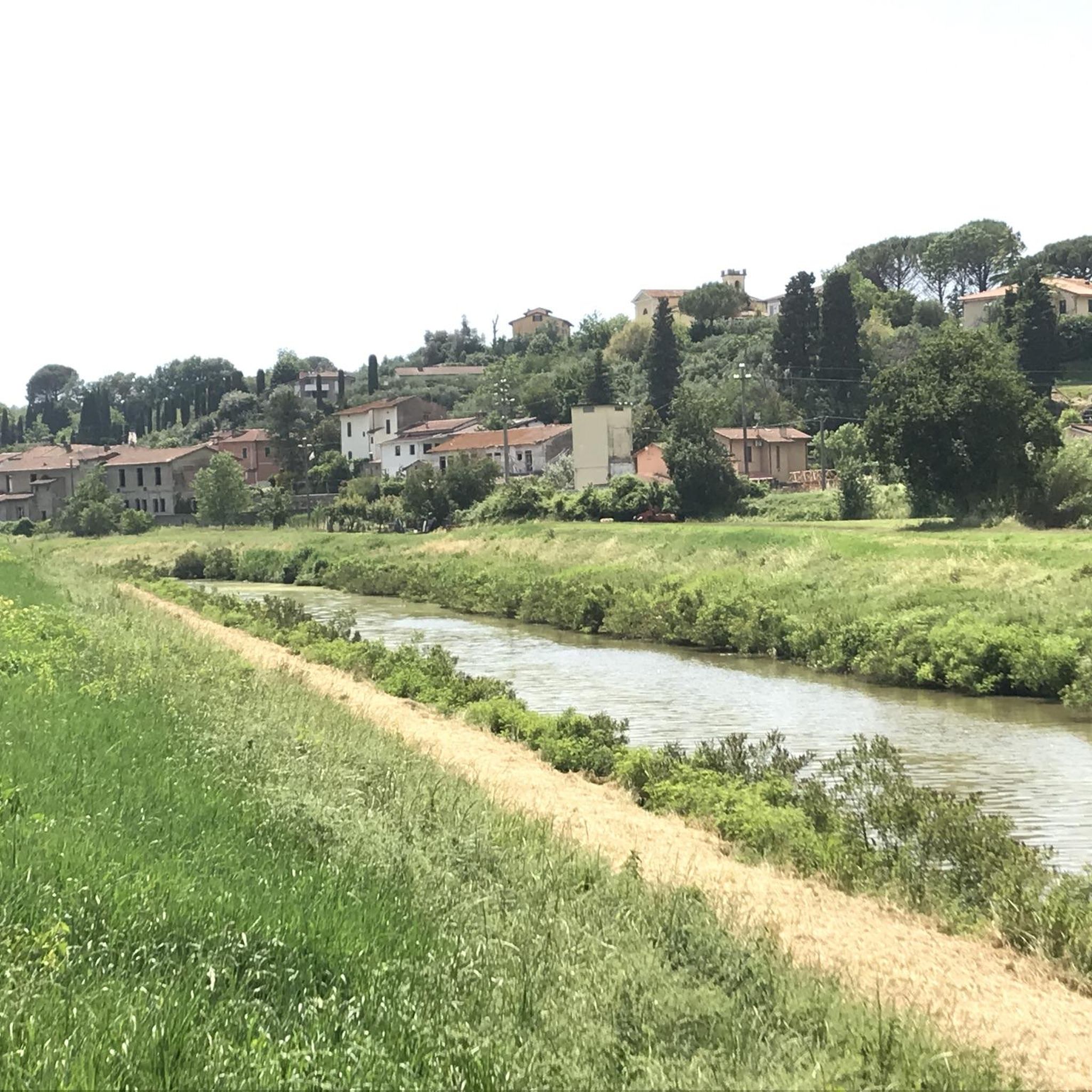
Hiking around Santa Croce Sull'Arno offers diverse landscapes, with the town situated on the right bank of the Arno River. The region is characterized by the rolling Cerbaie hills, which provide numerous opportunities for walks, including the Poggio Adorno protected area. Natural features like Lake Gherardesca, a special protection zone for water birds, and the Usciana Canal contribute to varied wetland environments. The area also features sections of the historic Via Francigena, offering cultural and natural exploration.
Best hiking trails around Santa Croce Sull'Arno
- The most popular hiking route is Path Along the Canale Maestro – Le Scarelle di Montecarlo loop from Ponte a Cappiano, a 15.8 miles (25.4 km) trail that takes 6 hours 29 minutes to complete. This difficult route follows the historic canal and passes through varied terrain.
- Another top favourite among local hikers is Hiking loop from Galleno, a moderate 7.0 miles (11.3 km) path. This trail winds through the Cerbaie hills, offering pleasant views and natural surroundings.
- Local hikers also love the Picnic Area – Wooden Bridge loop from Galleno, a 7.6 miles (12.3 km) trail leading through the Cerbaie Park, often completed in about 3 hours 13 minutes.
- Hiking around Santa Croce Sull'Arno is defined by the Cerbaie hills, the Arno River, and diverse wetland environments. The network offers options for easy, moderate, and difficult routes, catering to different ability levels.
- The routes in Santa Croce Sull'Arno are highly rated by the komoot community with an average score of 4.5 stars from over 500 reviews. More than 2000 hikers have used komoot to explore Santa Croce Sull'Arno's varied terrain.
Last updated: June 30, 2026
4.3
(8)
36
hikers
11.6km
02:57
40m
40m
Moderate hike. Good fitness required. Easily-accessible paths. Suitable for all skill levels.
4.5
(2)
7
hikers
10.7km
02:50
110m
110m
Moderate hike. Good fitness required. Easily-accessible paths. Suitable for all skill levels.

Sign up for free
5.0
(2)
9
hikers
25.5km
06:46
250m
250m
Hard hike. Very good fitness required. Easily-accessible paths. Suitable for all skill levels.
5.0
(2)
9
hikers
9.77km
02:37
110m
110m
Moderate hike. Good fitness required. Easily-accessible paths. Suitable for all skill levels.
4
hikers
6.26km
01:39
50m
50m
Easy hike. Great for any fitness level. Easily-accessible paths. Suitable for all skill levels.
Get access to more routes and recommendations from other explorers.
Sign up for free
Already have an account?
Our route recommendations are based on thousands of hikes, rides, and runs completed by other people on komoot.
Start today with a free account
Your next adventure awaits.
Login or Signup
Tips from the Community

Historically known as the "City of Bread", Altopascio is a medieval village inextricably linked to the hospitality of pilgrims travelling the Via Francigena. The symbol of the town is its majestic bell tower which, with the tolls of its famous bell called "La Smarrita", guided travellers lost in the dense surrounding woods during the night.
0
0

I had high hopes for this stretch. But I have to say I found it in terrible condition, and I'm very disappointed, because I could have promoted it on my tours and brought my clients there. I'm very disappointed that the much-hyped Via Francigena isn't kept in good condition. Just before Galleno, I also found a fallen tree that I had to climb over with my bike, and a second one is about to fall. After that? It's not much better.
0
0

Rest stop along the Via Francigena
1
0


A village center worth seeing, typical for the area
0
0

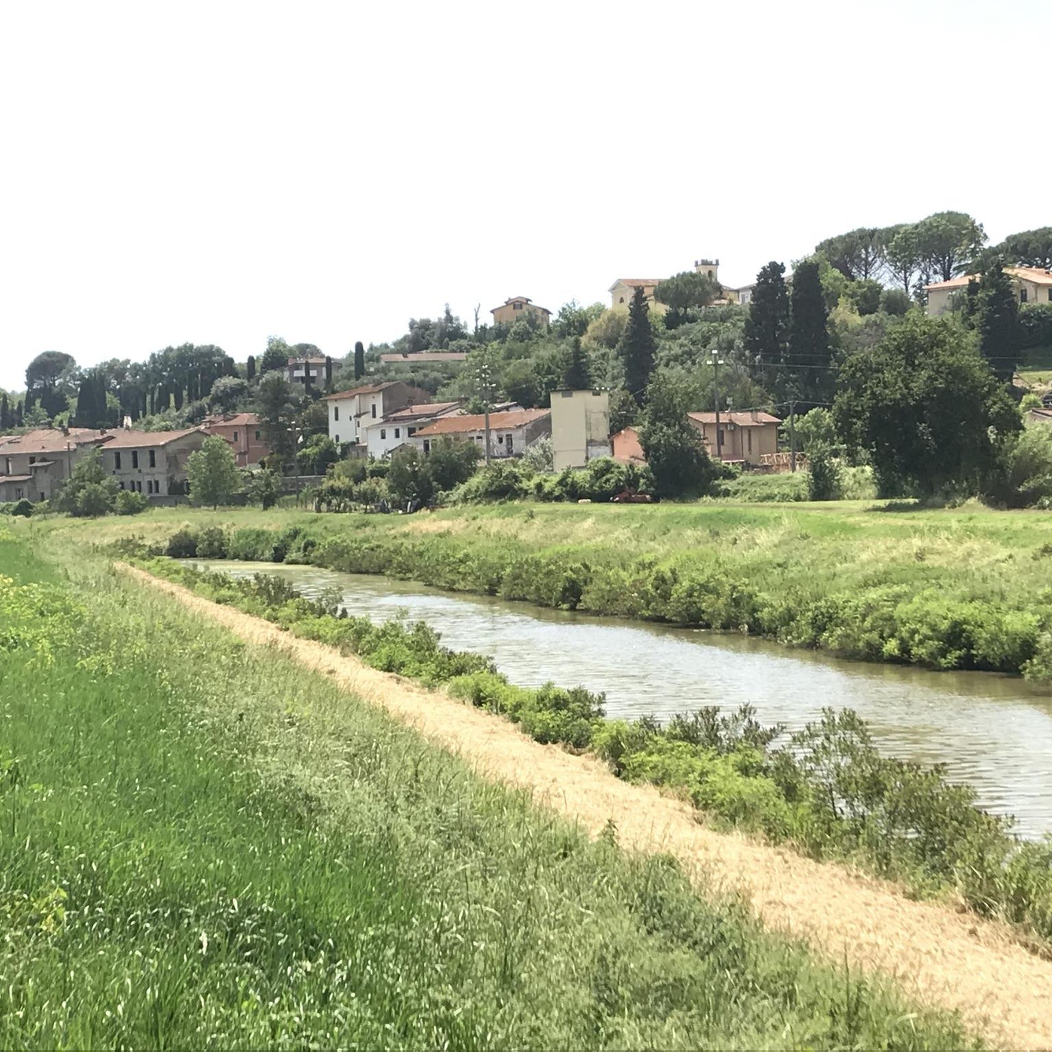
Ponte a Cappiano, Tuscany, is a charming place that takes its name from the historic Medici Bridge and Cappiano Hill. This picturesque town is located on the banks of the Usciana Canal, the outlet of the Padule di Fucecchio swamp, and at the foot of the Cerbaie Hills. The bridge of Ponte a Cappiano, which played a crucial role in the Via Francigena, an important medieval pilgrimage route, has a rich history dating back to the early Middle Ages. It was once administered by the Knights Hospitaller of Altopascio and was even studied by the famous artist and scientist Leonardo da Vinci. The current form of the bridge was built in the first half of the 16th century by Cosimo I de' Medici. Today, two inscriptions on the bridge still testify to this historic event.
4
0
The Riserva delle Cerbaie is a beautiful natural park in the province of Pisa, Tuscany.
4
0

The Cappiano bridge is the monumental bridge built substantially in this form in the mid-16th century on the initiative of Grand Duke Cosimo I, as documented by the marble epigraphs affixed to its brick structures. One of the two towers of the Medici bridge perhaps originally belonged to the fortified bridge of Cappiano that Leonardo drew in the famous map of the Arno valley RL 12685 from the Windsor Castle collection. In Leonardo's time, in fact, the Cappiano bridge still maintained the shape it had achieved a few centuries earlier, when the important crossing of the Francigena over the Usciana had been fortified, providing it with a tower. And it is precisely in the late thirteenth-century forms that Leonardo brought the future Medici bridge of Cappiano to paper.
1
0
Frequently Asked Questions
How many hiking trails are available around Santa Croce Sull'Arno?
There are over 200 hiking routes around Santa Croce Sull'Arno, catering to various fitness levels. You'll find a wide selection of easy, moderate, and difficult trails to explore the region's diverse landscapes.
What kind of landscapes can I expect to see while hiking in Santa Croce Sull'Arno?
The region is characterized by the rolling Cerbaie hills, offering numerous opportunities for walks amidst greenery. You'll also encounter diverse wetland environments, including Lake Gherardesca, a special protection zone for water birds, and the Usciana Canal, particularly around Ponte a Cappiano. The area also features sections of the historic Via Francigena, providing a mix of cultural and natural exploration.
Are there any easy hiking trails suitable for beginners or families?
Yes, Santa Croce Sull'Arno offers 74 easy routes perfect for beginners or families. These trails often wind through the Cerbaie Park or along the Arno River, providing pleasant and accessible walks. For a moderate option that's still family-friendly, consider the Picnic Area – Wooden Bridge loop from Galleno, which is about 12.3 km long.
What historical landmarks or points of interest can I visit while hiking?
The area is rich in history. You can explore sections of the ancient Via Francigena, an important pilgrimage route, particularly near Galleno. A notable landmark along this path is the historic Medici Bridge at Ponte a Cappiano. Additionally, the nearby town of San Miniato features the impressive Tower of Frederick II, offering panoramic views.
Are there any circular walks available in the region?
Yes, many trails in Santa Croce Sull'Arno are designed as circular routes, allowing you to start and end in the same location. An example of a moderate circular walk through the Cerbaie hills is the Hiking loop from Galleno, which covers about 11.3 km.
What do other hikers say about the trails in Santa Croce Sull'Arno?
The trails in Santa Croce Sull'Arno are highly rated by the komoot community, with an average score of 4.5 stars from nearly 600 reviews. Hikers often praise the quiet woodlands, the well-marked paths, and the diverse scenery, from riverbanks to rolling hills.
Can I find challenging routes for experienced hikers?
Absolutely. For experienced hikers seeking a challenge, there are 13 difficult routes available. One such demanding trail is the Path Along the Canale Maestro – Le Scarelle di Montecarlo loop from Ponte a Cappiano, which is 25.4 km long and follows a historic canal through varied terrain.
Are there opportunities for wildlife observation during hikes?
Yes, the region's diverse wetland environments offer excellent opportunities for wildlife observation. Lake Gherardesca is recognized as a special protection zone for water birds, making it an ideal spot to observe various species during your hike. The Padule di Fucecchio swamp also contributes to the rich biodiversity.
What is the best time of year to go hiking in Santa Croce Sull'Arno?
While hiking is possible year-round, spring and autumn generally offer the most pleasant conditions with mild temperatures and beautiful scenery. Spring brings blooming wildflowers, while autumn showcases vibrant foliage. Summer can be warm, so early morning or late afternoon hikes are recommended, and winter offers a quieter, often misty, experience.
Are there any trails that pass through protected natural areas?
Yes, several trails traverse or border protected natural areas. The Poggio Adorno protected area within the Cerbaie hills is ideal for leisurely strolls. Additionally, the Sentiero Cerretti borders the Montefalcone natural reserve, offering a chance to explore these conserved landscapes.
Can I combine hiking with other activities like wine tasting?
Yes, the surrounding Tuscan hills and vineyards offer opportunities to combine countryside walks with local experiences. Many areas near Santa Croce Sull'Arno are known for their wine production, making it possible to enjoy a hike followed by a wine tasting experience at a local vineyard.
Are there any trails that offer views of the Arno River?
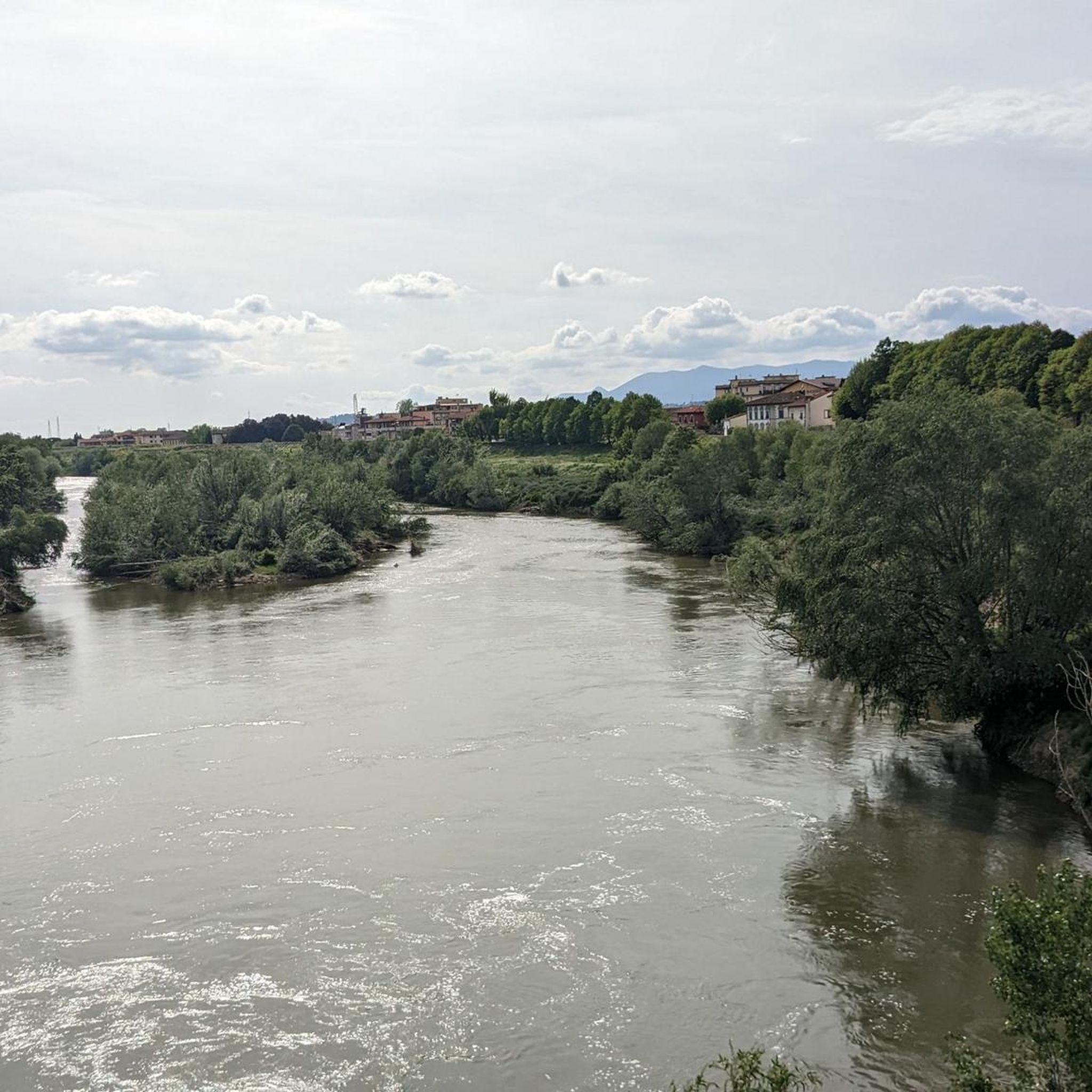
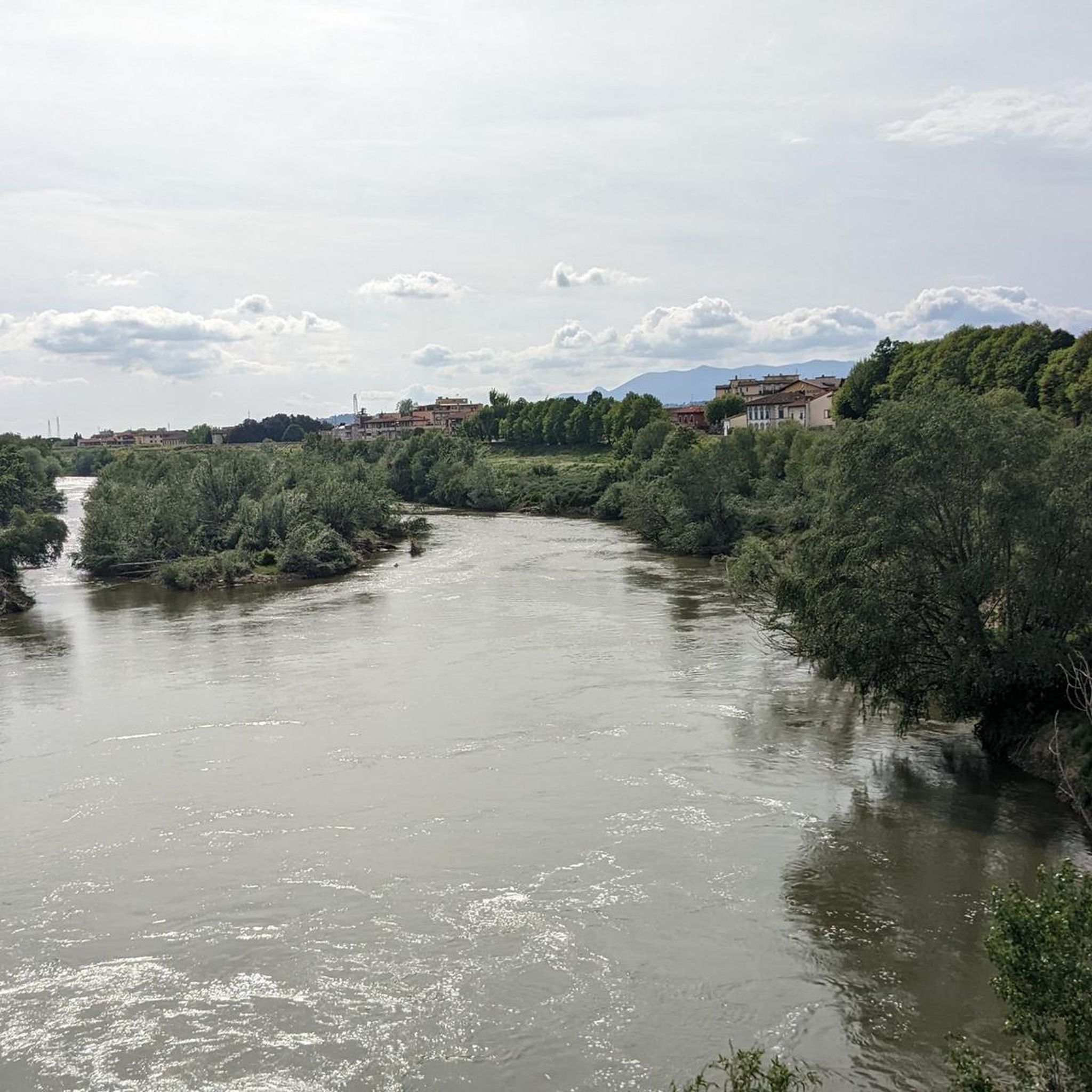
Santa Croce Sull'Arno is situated on the right bank of the Arno River, and many trails in the vicinity offer views of this iconic Tuscan waterway. Look for routes that follow the riverbanks or cross bridges like the historic Medici Bridge for scenic perspectives.
Most popular routes around Santa Croce Sull'Arno
Most popular attractions around Santa Croce Sull'Arno

Get inspired with the komoot mobile app


Explore more
Browse the best Hikes in other regions.
