The best road cycling routes around Aprigliano
4.4
(84)
2,004
riders
73
rides
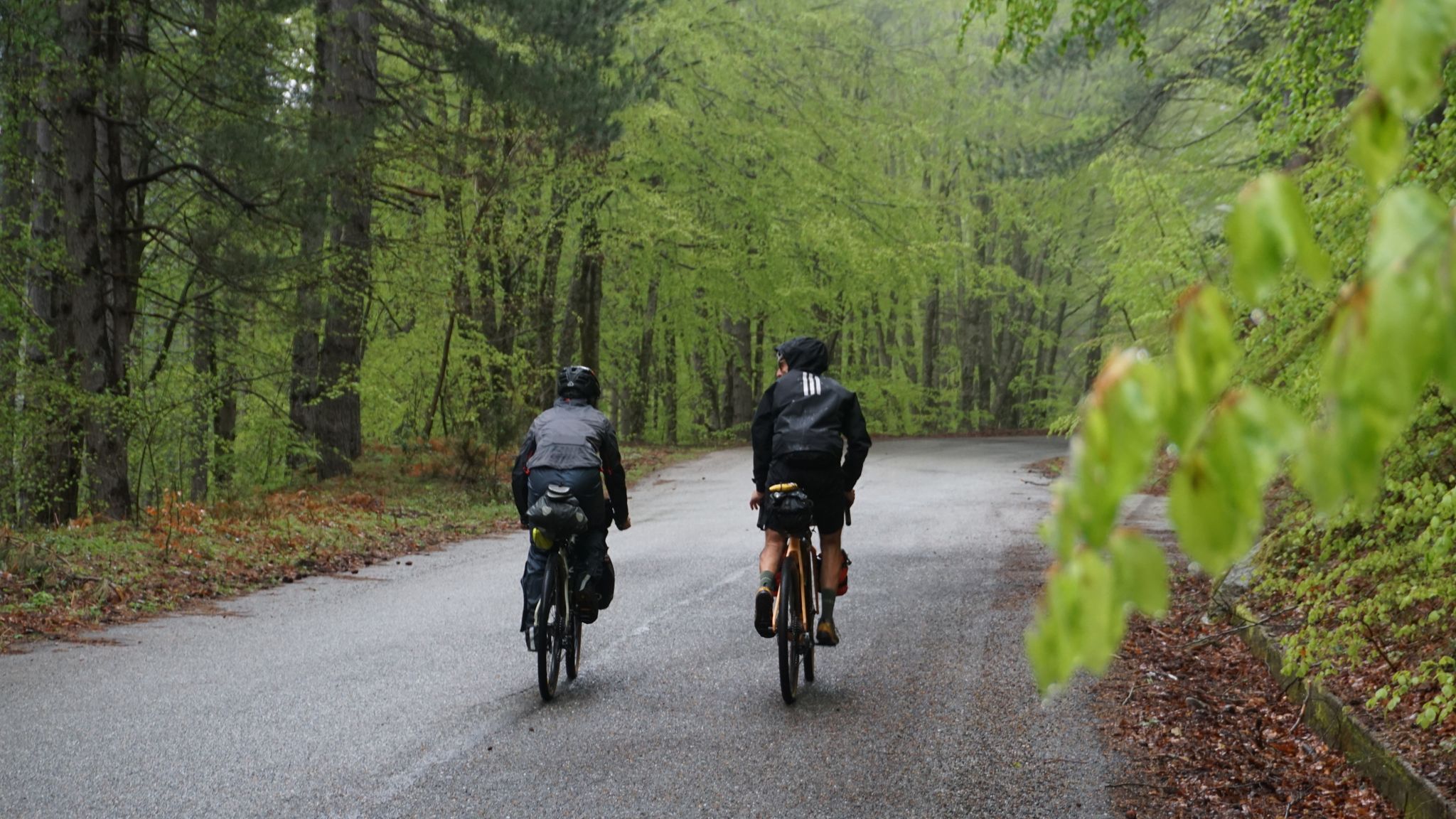
Road cycling routes around Aprigliano are characterized by the varied terrain of the Sila mountains, featuring significant elevation changes and scenic lake districts. The region offers a landscape composed of dense woodlands, open mountain passes, and winding roads that traverse hills and valleys. Road cyclists can expect routes that navigate through natural parks and past bodies of water, providing diverse riding conditions.
Best road cycling routes around Aprigliano
- The most popular road cycling route is Laghi di Ampollino e Arvo…
Last updated: July 7, 2026
19
riders
80.2km
04:47
2,010m
2,010m
Embark on a challenging racebike loop through the Sila National Park, covering 49.9 miles (80.2 km) with a significant 6588 feet (2008 metres) of elevation gain. This difficult route, estimated…
3.5
(2)
9
riders
65.4km
03:11
970m
980m
Hard road ride. Very good fitness required. Mostly well-paved surfaces and easy to ride.

Sign up for free
5.0
(2)
51
riders
121km
05:56
1,730m
1,730m
Hard road ride. Very good fitness required. Mostly well-paved surfaces and easy to ride.
4.2
(5)
36
riders
49.1km
02:47
1,080m
1,080m
Hard road ride. Very good fitness required. Mostly well-paved surfaces and easy to ride.
4.3
(3)
27
riders
28.3km
01:22
390m
390m
Moderate road ride. Good fitness required. Mostly well-paved surfaces and easy to ride.
Get access to more routes and recommendations from other explorers.
Sign up for free
Already have an account?
Our route recommendations are based on thousands of hikes, rides, and runs completed by other people on komoot.
Start today with a free account
Your next adventure awaits.
Login or Signup




Tips from the Community

The summit of Sila, Monte Botte Donato. The small fountain is located near the refuge, close to the cable car station
0
0
Lorica, the pearl of Sila
0
0

There's a parking lot in front of the National Museum, which is a good starting point for exploring the old town. It also offers a great view of the mountains. A visit to the museum is also worthwhile.
0
0

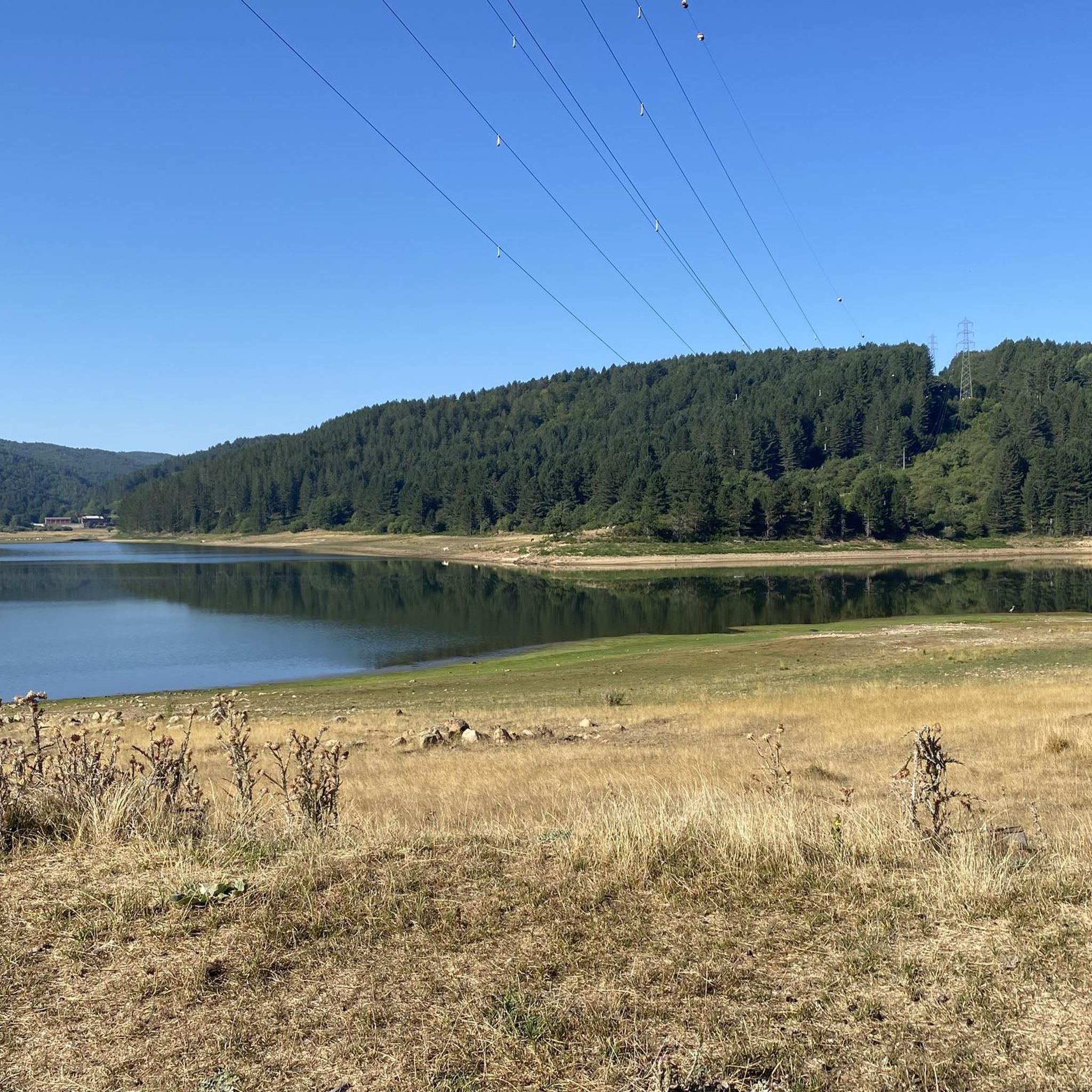
Among the three large Calabrian lakes of the Sila, the Ampollino is certainly the least contaminated and consequently the most authentic to be appreciated by lovers of nature and landscapes.
0
0

In summer, you can take advantage of numerous cycling routes that lead through diverse landscapes - from mountain spruce forests to water areas of lakes. In winter, the area is home to the Camigliatello Silano ski resort, which attracts skiing and winter sports enthusiasts with its well-prepared facilities and picturesque location in the Sila massif. This is a place more for local skiing enthusiasts and beginners who want to combine active recreation with a vacation in the warm climate of Calabria. If you are looking for more serious skiing routes, you have to go further north in Italy or to the Alps. In Calabria, on the other hand, you will certainly appreciate nature, peace and a unique mountain climate.
1
0
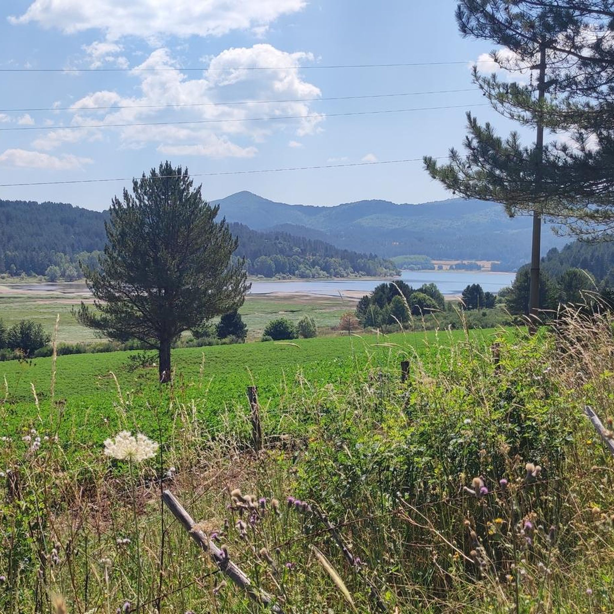
The Ampollino Valley is surrounded by the mountains of the Sila massif, with clearly distinguishable peaks: Scorciavuoi (1627 m above sea level), Gariglione (1623 m above sea level), Zingomarro (1463 m above sea level) and Monte Nero (1747 m above sea level). There are extensive pine, beech and fir forests here, creating a Mediterranean mountain landscape characteristic of the region. The central element of the valley is the artificial reservoir Lago Ampollino, created by a dam (diga) on the Ampollino River. The shores of the lake are overgrown with reed beds and water lilies, and in the area you can see wild animals - deer, wild boars, waterfowl and birds of prey.
1
0
Lorica, located right on the shore of the lake, is a convenient base for trips. It is a small town with several cafes and service points where you can take a break after a ride or walk. There are also several easy and well-marked hiking trails in the area, which allow for leisurely walks in the forest or along the shore.
1
0
Lake Arvo is a natural centre of outdoor activities in the Sila National Park. Around the lake there are good quality asphalt roads, which are great for cycling - both recreational and more demanding. The routes are varied in length and difficulty, so everyone will find something for themselves. For example, the "Anello Lago Arvo" route is a classic loop recommended in local guides, recommended in spring and summer. Along the way you pass places such as: Camping Lago Arvo, the dam (Diga Nocelle), Rovale, Scarda, Pino Collito and other picturesque corners.
1
0
Frequently Asked Questions
What kind of terrain can I expect when road cycling in Aprigliano?
Road cycling in Aprigliano primarily involves the varied terrain of the Sila mountains, characterized by significant elevation changes, dense woodlands, open mountain passes, and winding roads through hills and valleys. You'll find routes navigating through natural parks and past bodies of water, providing diverse riding conditions.
How many road cycling routes are available around Aprigliano?
There are over 60 road cycling routes around Aprigliano, offering a wide range of options for different skill levels, from easy to difficult.
Are there road cycling routes suitable for beginners or those looking for an easier ride?
While many routes in Aprigliano feature significant elevation, there are a few easier options available. For example, the region offers 2 easy routes and 25 moderate routes, which can be a good starting point for less experienced cyclists.
What are some challenging road cycling routes with significant elevation gain?
Aprigliano is known for its challenging climbs. A demanding route is the Montescuro Pass – Road to Monte Scuro loop from Pedace, which features over 1,698 meters of elevation gain. Another difficult option is the View of San Pietro in Guarano – San Pietro in Guarano Viaduct loop from Piane Crati, with over 1,364 meters of ascent.
Are there any long-distance road cycling routes in the Aprigliano area?
Yes, Aprigliano offers several longer routes. The Laghi di Ampollino e Arvo – loop tour is a popular choice, covering over 65 kilometers and exploring the area around the Ampollino and Arvo lakes. Another substantial ride is the Pietrafitta Village loop from Piane Crati, which is about 47 kilometers long.
What is the best time of year for road cycling in Aprigliano?
The Sila mountains, where Aprigliano is located, experience distinct seasons. Late spring (May-June) and early autumn (September-October) generally offer the most pleasant weather for road cycling, with milder temperatures and less extreme conditions than the peak summer heat or winter snow.
Are there any scenic viewpoints or natural attractions along the road cycling routes?
Absolutely. Many routes offer stunning views. You can find highlights such as Panoramic view from Colle Perilli over Lake Arvo, or explore areas around Lorica and Lake Arvo. The region is also home to several mountain peaks like Monte Botte Donato and Monte Scuro, which often provide incredible vistas.
Are there loop road cycling routes available around Aprigliano?
Yes, many of the road cycling routes in Aprigliano are designed as loops, allowing you to start and end at the same point. Examples include the Laghi di Ampollino e Arvo – loop tour and the Lake Arvo, Lorica – Lake Arvo and Lorica loop from Ceci.
What do other road cyclists enjoy most about road cycling in Aprigliano?
The road cycling routes around Aprigliano are highly rated by the komoot community, with an average score of 4.6 stars from over 60 reviews. Cyclists often praise the varied terrain, the scenic lake districts, and the challenging mountain passes that make for a rewarding ride.
Can I find routes that are less crowded for a more peaceful ride?
While specific crowd levels can vary, exploring routes that venture deeper into the Sila National Park or those slightly off the main tourist paths might offer a more tranquil experience. The vastness of the region allows for many opportunities to find quiet roads, especially outside of peak holiday seasons.
Are there any specific routes that pass by lakes or water bodies?
Yes, the region is known for its lake districts. The Laghi di Ampollino e Arvo – loop tour specifically explores the areas around Lake Ampollino and Lake Arvo. You can also find highlights like the Lago Ampollino Dam and the Lago Ampollino Lakeside Cycle Path.
Most popular attractions around Aprigliano

Get inspired with the komoot mobile app


Explore more
Browse the best Road cycling routes in other regions.
