The best walks and hikes in Tirana
4.2
(964)
6,761
hikers
82
hikes
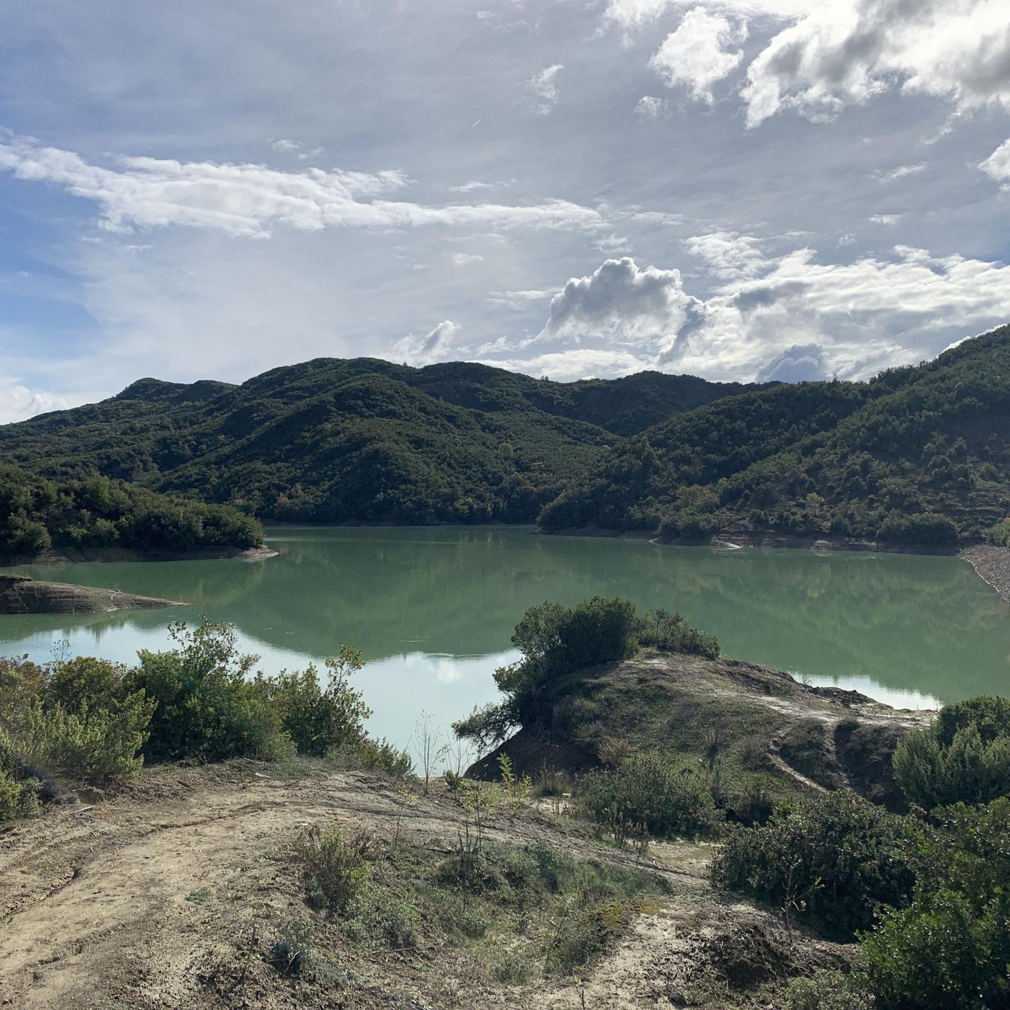
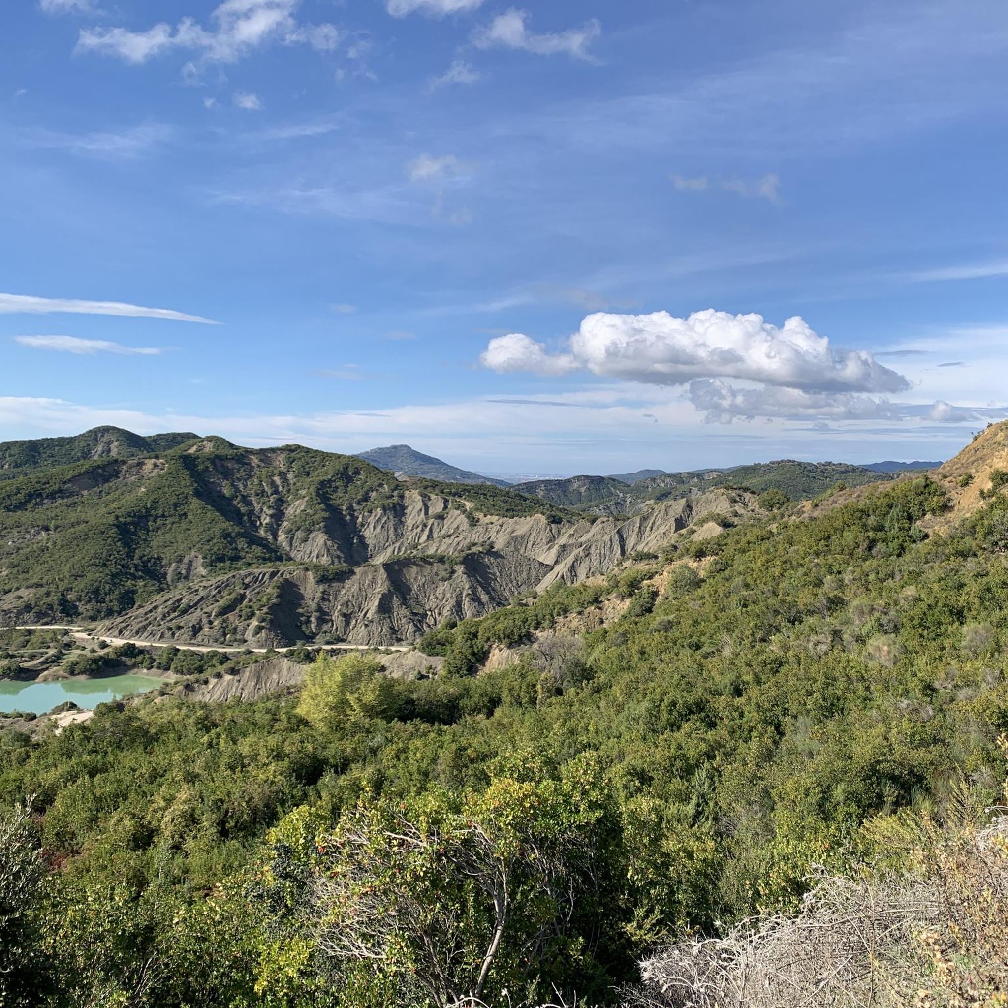
Hiking in Tirana offers access to diverse natural landscapes, characterized by mountainous ranges, serene lakes, and rolling hills. The region features prominent natural attractions like Dajti National Park and Lake Bovilla, providing varied terrain for outdoor activities. Hikers can explore a mix of dense forests, open valleys, and limestone cliffs, with elevations ranging from gentle slopes to challenging mountain ascents.
Best hiking trails in Tirana
- The most popular hiking route is Cherry Pass – View from Mount Dajti Summit loop from Mount Dajti, a 5.4 miles (8.7 km) trail that takes 3 hours 12 minutes to complete. This moderate route offers panoramic views from Mount Dajti.
- Another top favourite among local hikers is Cherry Pass – Tujan Peak loop from Mount Dajti, a moderate 3.7 miles (5.9 km) path. This trail leads to Tujan Peak, providing extensive views of the surrounding landscape.
- Local hikers also love the Bovilla Reservoir – Viewpoint overlooking Lake Bovilla loop from Zall-Herr, a 12.1 miles (19.5 km) trail leading through mountainous terrain around Lake Bovilla, often completed in about 5 hours 39 minutes.
- Hiking in Tirana is defined by accessible mountain parks, serene lakes, and scenic hillsides. The network offers options for different ability levels, from easy walks to more challenging treks.
- The routes in Tirana are highly rated by the komoot community with an average score of 4.2 stars from over 400 reviews. More than 2,900 hikers have used komoot to explore Tirana's varied terrain.
Last updated: October 17, 2026
4.4
(86)
349
hikers
8.66km
03:12
540m
540m
Moderate hike. Good fitness required. Easily-accessible paths. Suitable for all skill levels.
4.6
(92)
512
hikers
5.95km
02:22
440m
440m
Moderate hike. Good fitness required. Easily-accessible paths. Suitable for all skill levels.

4.4
(55)
288
hikers
4.68km
01:40
250m
250m
Hard hike. Great for any fitness level. Sure-footedness, sturdy shoes and alpine experience required.
4.3
(37)
341
hikers
Moderate hike. Good fitness required. Easily-accessible paths. Suitable for all skill levels.
4.4
(13)
203
hikers
7.04km
01:51
60m
60m
Easy hike. Great for any fitness level. Easily-accessible paths. Suitable for all skill levels.
4.7
(19)
76
hikers
16.6km
06:38
1,130m
1,130m
Hard hike. Very good fitness required. Mostly accessible paths. Sure-footedness required.
4.3
(45)
304
hikers
11.4km
02:57
70m
70m
Moderate hike. Good fitness required. Easily-accessible paths. Suitable for all skill levels.
4.5
(20)
84
hikers
Moderate hike. Good fitness required. Easily-accessible paths. Suitable for all skill levels.
4.4
(17)
90
hikers
Hard hike. Very good fitness required. Easily-accessible paths. Suitable for all skill levels.
3.2
(13)
83
hikers
3.15km
00:53
70m
70m
Easy hike. Great for any fitness level. Easily-accessible paths. Suitable for all skill levels.
Get access to more routes and recommendations from other explorers.
Already have an account?
Our route recommendations are based on thousands of hikes, rides, and runs completed by other people on komoot.
Start today with a free account
Your next adventure awaits.
Other adventures in Tirana

Tips from the Community

Briefly escape the big city noise in the park on the edge of the lake
0
0
The monument is beautifully situated in a park
0
0

At the summit, you are greeted with sweeping, uninterrupted views of the entire reservoir and the sprawling green valleys below. On a clear day, the line of sight extends to the eastern flank of Dajti and, faintly, the foothills approaching Krujë. Mount Gamti itself rises to roughly 1,268 m; the trail tops out at the Balcony of Bovilla viewpoint at about 620 m, some 160 m above the trailhead.
6
0
From the steel balcony atop Mount Gamti, you have a spectacular view over the turquoise Bovilla Lake, the steep karst walls, and the deep canyon below. The platform literally hangs over the abyss, making the panorama extra impressive. The metal staircase forms the last short climb; at the top, an open, airy spot awaits with a clear view of the entire reservoir. Access is free, and the balcony is the iconic endpoint of the short hike from the Bovilla restaurant.
6
0
The last few meters to the Balcony of Bovilla viewpoint are via a set of metal stairs anchored directly into the rock face. It is a short but steep passage, technically simple but physically demanding due to the gradient. If you have a fear of heights, you can enjoy a similar panorama from the bottom, but those who take the stairs stand on a steel viewing deck that hangs spectacularly over the canyon.
6
0
The monumental mosaic on the facade of the National Historical Museum is one of Tirana's most recognizable artworks. It was designed in the early eighties as a visual narrative of Albanian history, executed in thousands of stone tiles that together form a powerful, almost theatrical tableau. Central to it is a group of figures representing different eras: Illyrian warriors, medieval nobles, rebels, intellectuals, and modern citizens. They are not placed side-by-side as separate episodes, but as one advancing movement — a symbolic march through time. The composition is broad and horizontal, but the energy is clearly directed upwards: flags, spears, and gestures draw the eye upward, as if the past itself points to the future.
5
0
Equestrian statue of Gjergj Kastrioti Skënderbeu, the 15th-century leader who united the Albanian principalities and managed to halt the Ottoman advance for decades. The monument was erected in 1968 to commemorate 500 years after his death and forms the symbolic center of Tirana. The powerful pose, the helmet with a goat's head, and the elevated silhouette in the square emphasize his role as a national icon.
2
0
The Grand Mosque forms the new religious heart of Tirana: a bright, open complex that gives the city a contemporary Islamic identity. With space for ten thousand worshippers, this is the largest mosque in the Balkans, but the atmosphere remains surprisingly serene. The architecture combines classic Ottoman lines with modern transparency, making the house of prayer look both monumental and accessible.
5
0
Frequently Asked Questions
How many hiking trails are available in Tirana?
Tirana offers a wide variety of hiking experiences, with over 85 routes recorded on komoot. These trails cater to different skill levels, including 39 easy, 40 moderate, and 6 difficult options, ensuring there's a path for every hiker.
Are there easy hiking trails suitable for beginners or families in Tirana?
Yes, Tirana has numerous easy trails perfect for beginners and families. For a gentle walk with scenic views, consider the View of Lake Tirana – Tirana Artificial Lake loop from Tirana, which is an easy 7 km route. The rolling hills around Tirana, such as those near Lapidari, also offer casual walks amidst cherry trees and grazing sheep, providing a quick escape from the city.
What are some good circular hiking routes around Tirana?
Many of Tirana's popular trails are circular, allowing you to start and end at the same point. A notable option is the Cherry Pass – View from Mount Dajti Summit loop from Mount Dajti, a moderate 8.7 km route offering panoramic views. Another excellent choice is the Bovilla Reservoir – Viewpoint overlooking Lake Bovilla loop from Zall-Herr, a more challenging 19.5 km trail around the stunning Lake Bovilla.
Can I bring my dog on hikes in Tirana?
While specific regulations can vary by park or protected area, many natural trails around Tirana are generally dog-friendly. Dajti National Park, with its diverse trails and open spaces, is a popular choice for hikers with dogs. It's always recommended to keep your dog on a leash and ensure you clean up after them to preserve the natural environment.
Are there any hikes that feature waterfalls or natural pools?
Yes, Tirana's natural landscape includes several beautiful water features. The Pellumbas Cave – Pëllumbas Cave loop from Pëllumbas, though challenging, leads to the fascinating Pellumbas Cave and is near the Erzeni canyon, where you can cool off in summer. The Cyclops Eye (Syri i Ciklopit), a natural pool near Krrabë, is also a popular spot for swimming after an hour's hike.
What kind of views can I expect on hikes near Tirana?
Hikes near Tirana offer diverse and breathtaking views. From Dajti National Park, often called the 'Balcony of Tirana,' you can enjoy panoramic vistas of Tirana, the Adriatic coast, and surrounding valleys. Trails to Maja e Tujanit or Gamti Mountain provide spectacular 360-degree views overlooking vast valleys and the emerald waters of Lake Bovilla. Even closer to the city, the rolling hills offer charming views of the Tirana countryside.
How can I get to the hiking trailheads using public transport?
Many popular hiking areas are accessible via public transport. Dajti National Park is easily reached by the Dajti Ekspres cable car, which departs from the city's outskirts. For other trailheads, local buses or furgons (minibuses) can often take you to nearby villages, from where you can start your hike. It's advisable to check local transport schedules for specific routes.
Is parking available at the popular hiking spots?
Yes, parking is generally available at the main access points for popular hiking areas. For instance, there is parking available at the base station of the Dajti Ekspres cable car. When heading to Lake Bovilla or other more remote trailheads, you'll often find designated parking areas or suitable spots in nearby villages. Always ensure you park responsibly and legally.
What are some hidden gems or less-known hiking spots in Tirana?
Beyond the well-known Dajti and Bovilla areas, Tirana offers some hidden gems. The Pellumbas Cave – Pëllumbas Cave loop from Pëllumbas is a challenging but rewarding hike to a stunning cave. The Cyclops Eye, a natural pool near Krrabë, is another less-traveled spot offering a unique natural experience. Exploring the hills around Lapidari also provides a tranquil escape closer to the city.
What is the best time of year to go hiking in Tirana?
The best time for hiking in Tirana is typically spring (April to June) and autumn (September to November). During these seasons, the weather is mild and pleasant, with comfortable temperatures and lush landscapes. Summer can be hot, especially at lower elevations, but higher mountain trails offer cooler conditions. Winter hiking is possible, particularly on lower trails, but requires appropriate gear for colder temperatures and potential snow.
Are there any interesting historical or cultural landmarks I can see while hiking in Tirana?
While many hikes focus on natural beauty, some routes can incorporate historical or cultural elements. For urban exploration, consider the Berlin Wall Monument, Tirana – Bunker in Rinia Park loop from Libri Universitar. You can also explore highlights like the Pyramid of Tirana or Skanderbeg Square, which are accessible from some city-based walking routes.
What do other hikers say about the trails in Tirana?
The hiking trails in Tirana are highly rated by the komoot community, with an average score of 4.2 stars from over 400 reviews. Hikers often praise the diverse landscapes, from the panoramic views of Dajti National Park to the serene beauty of Lake Bovilla. Many appreciate the accessibility of nature from the city and the variety of trails suitable for different fitness levels.
Most popular attractions in Tirana

Get inspired with the komoot mobile app


Didn’t find what you were looking for?
Check out more Hikes throughout Tirana below and find the perfect route in your destination.
Explore more
Browse the best Hikes in other regions.
