The best hikes from bus stations in Tirana
4.3
(943)
6,620
hikers
67
hikes
Hiking in Tirana offers a diverse landscape for outdoor enthusiasts, featuring mountainous ranges, serene lakes, and rolling hills. The region is characterized by limestone cliffs, dense forests, and varied terrain, providing options from gentle walks to challenging ascents. Notable natural features include Dajti Mountain National Park, Lake Bovilla, and Qafë-Shtamë National Park, all accessible from the city.
Best bus station hiking trails in Tirana
- The most popular bus station hiking route is Cherry Pass – View from Mount Dajti Summit loop from Mount Dajti, a 5.4 miles (8.7 km) trail that takes 3 hours 12 minutes to complete. This moderate route offers panoramic views from Mount Dajti's summit.
- Another top favourite among local hikers is Cherry Pass – View of the Mountain Lake loop from Mount Dajti, a moderate 3.7 miles (5.9 km) path. This trail provides views of a mountain lake within the Dajti National Park.
- Local hikers also love the Cherry Pass – Tujan Peak loop from Mount Dajti, a 3.7 miles (5.9 km) trail leading through beech and pine forests, often completed in about 2 hours 21 minutes.
- Hiking in Tirana is defined by mountainous terrain, serene lakes, and dense woodlands, with options for various ability levels. The network includes trails suitable for easy walks and more challenging ascents.
- The routes in Tirana are highly rated by the komoot community with an average score of 4.3 stars from over 690 reviews. More than 4900 hikers have used komoot to explore Tirana's varied terrain.
Last updated: October 14, 2026
4.4
(86)
349
hikers
8.66km
03:12
540m
540m
Moderate hike. Good fitness required. Easily-accessible paths. Suitable for all skill levels.
4.6
(92)
512
hikers
5.95km
02:22
440m
440m
Moderate hike. Good fitness required. Easily-accessible paths. Suitable for all skill levels.

4.4
(55)
288
hikers
4.68km
01:40
250m
250m
Hard hike. Great for any fitness level. Sure-footedness, sturdy shoes and alpine experience required.
4.3
(37)
341
hikers
Moderate hike. Good fitness required. Easily-accessible paths. Suitable for all skill levels.
4.4
(13)
203
hikers
7.04km
01:51
60m
60m
Easy hike. Great for any fitness level. Easily-accessible paths. Suitable for all skill levels.
Get access to more routes and recommendations from other explorers.
Already have an account?
Our route recommendations are based on thousands of hikes, rides, and runs completed by other people on komoot.
Start today with a free account
Your next adventure awaits.
Other adventures in Tirana

Tips from the Community

Briefly escape the big city noise in the park on the edge of the lake
0
0
The monument is beautifully situated in a park
0
0

In this park stands an original segment of the Berlin Wall, covered in graffiti like many pieces preserved after 1989. It serves as a silent reminder of a Europe once divided, and of the power of freedom that broke through that separation. For Tirana, this fragment carries an extra layer: it is located in a city that was itself isolated for decades under a strict regime. The presence of this wall section symbolically connects Albania to the broader European story of democratization and openness. A small monument, but a big story.
5
0
On the edge of Moeder Theresaplein stands a traffic light that is more than just a traffic signal: the red light shows the silhouette of the double-headed eagle, the national symbol of Albania. This design emerged around 2018 as part of Tirana’s urban beautification projects, where art was subtly woven into the streetscape. The eagle appears via a perforated lens plate in the red light — a technical detail that preserves the traffic function while simultaneously forming a visual tribute to national pride. It is a small, playful symbol of how Tirana makes its identity visible in everyday infrastructure. Those who pass here see how design, symbolism, and urban dynamics come together: a red light that doesn't just say “stop,” but also “this is Albania.”
7
0
From the summit of Maja e Tujanit, a deep panorama opens up over the Bovilla lake and the steep limestone flanks of Maja e Gamnit. The lake lies like a narrow turquoise bay between the rock faces, while the Gamnit peak juts sharply above the valley. This viewpoint showcases the contrasting structure of the Dajti massif: rugged ridges, vertical steps, and the elongated reservoir stretching between the gorges. A clear, high-altitude view of one of the most striking landscapes around Tirana.
7
0
The ascent of Maja e Gamnit (via iron stairs) at the turquoise Bovilla Lake should definitely be on your list. The ride there is an experience in itself!
7
0
The top of Maja e Tujanit is an open, rocky crown above the Dajti massif, where the path emerges from the forest zones and the mountain fully unfolds. From the highest point, you look over the ridge structure, the deep valleys, and the wide flanks towards Tirana. The terrain is rugged but easily walkable, with low vegetation and loose rocks that give the summit a distinct mountain character. A clear endpoint to the climb and a natural viewing platform in the middle of the national park. You have the same view here as from the viewpoint on Qafa e Qershisë. Unfortunately, the photos suffer from heavy smog.
7
0
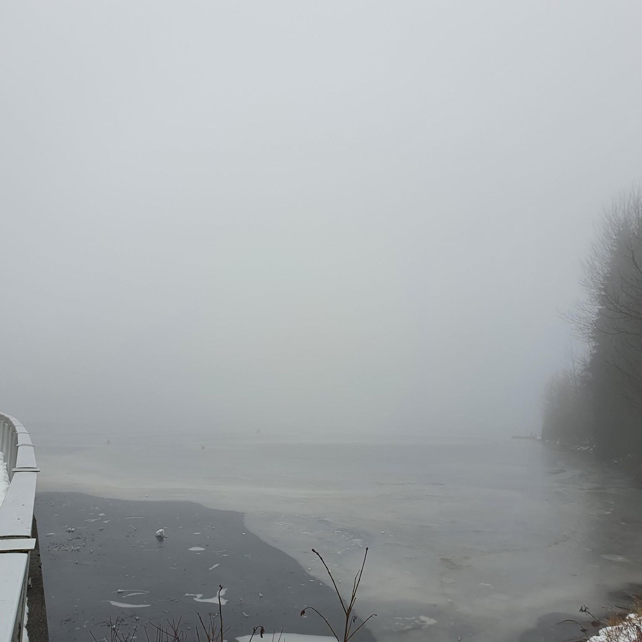
You are not yet at the summit here. From here you can only see Tirana and the Belvédère hotel. Note that the photos may be blurry. This is because there is often smog and fine dust hanging over Tirana. Mixed with moisture at altitude, a kind of diffuse light is created.
7
0
Frequently Asked Questions
How many hiking trails are accessible from bus stations in Tirana?
There are over 60 hiking routes in Tirana that are easily accessible from bus stations. These include a diverse range of options, with 32 easy, 31 moderate, and 4 difficult trails, ensuring something for every skill level.
What are some popular circular hiking routes near Tirana's bus stations?
Many routes offer circular paths, perfect for exploring without needing to retrace your steps. For a moderate challenge with stunning views, consider the Cherry Pass – View from Mount Dajti Summit loop from Mount Dajti. Another great option is the Cherry Pass – Tujan Peak loop from Mount Dajti, which also provides panoramic vistas.
Are there any family-friendly hiking options accessible by bus in Tirana?
Yes, several easy routes are suitable for families. The View of Lake Tirana – Tirana Artificial Lake loop from Tirana is an excellent choice, offering a leisurely walk around the Grand Park of Tirana. The park provides flat trails, ideal for all ages, and opportunities for picnics and bird-watching.
What natural features or landmarks can I see on these bus-accessible hikes?
Tirana's bus-accessible trails lead to a variety of natural and historical points of interest. You can explore the lush forests of Dajti Mountain National Park, enjoy views of Tirana Artificial Lake, or discover unique spots like the Love-Lock Boat Sculpture. For those seeking waterfalls, the Cyclops' Eye Waterfall and Shëngjergj Waterfall are also accessible in the wider region.
Can I bring my dog on these hiking trails?
Many trails in the Tirana region, especially those in natural parks like Dajti Mountain, are generally dog-friendly. However, it's always recommended to keep your dog on a leash and check for specific park regulations or signage at trailheads, particularly in protected areas or crowded spots.
What is the best time of year to hike near Tirana?
Spring (April-June) and autumn (September-November) offer the most pleasant hiking conditions in Tirana, with mild temperatures and vibrant landscapes. Summer can be hot, especially at lower elevations, while winter may bring snow to higher mountain trails like those on Dajti, offering a different kind of experience for well-equipped hikers.
Are there any easy hikes from Tirana's bus stations that offer good viewpoints?
For an easy hike with rewarding views, consider routes around the Grand Park of Tirana. While not high-altitude, the park's trails offer pleasant perspectives of the city and the lake. For more expansive views, the Dajti Ekspres cable car provides quick access to higher elevations, where even shorter walks can offer panoramic vistas of Tirana and beyond.
What are the amenities like near the bus-accessible hiking areas, such as cafes or restrooms?
Areas like Dajti Mountain National Park, accessible via the Dajti Ekspres, have facilities including restaurants and cafes near the upper cable car station. Around the Grand Park of Tirana, you'll find numerous cafes and kiosks. For more remote trails, amenities are limited, so it's best to carry sufficient water and snacks.
What do other hikers say about the trails accessible from Tirana's bus stations?
The komoot community rates these trails highly, with an average score of 4.3 out of 5 stars. Reviewers often praise the accessibility from the city, the diverse landscapes ranging from serene lakes to challenging mountain ascents, and the stunning panoramic views, especially from Dajti Mountain and Gamti Mountain overlooking Bovilla Lake.
Are there any trails that lead to unique natural spots or hidden gems?
Yes, the region is rich with hidden natural spots. While requiring a bit more effort to reach, the area around Lake Bovilla offers dramatic limestone cliffs and the rewarding hike up Gamti Mountain for breathtaking views of the turquoise reservoir. Qafë-Shtamë National Park, north of Tirana, is another gem known for its forests and the 'Source of the Queen Mother' spring.
What kind of terrain can I expect on these hikes?
The terrain varies significantly. Trails around the Grand Park of Tirana are generally flat and paved. Hikes in Dajti Mountain National Park feature well-maintained paths through beech and pine forests, with some moderate ascents. More challenging routes, like those around Lake Bovilla, can include steep sections, rocky paths, and even metal stairs along cliff edges, requiring good footwear and a moderate fitness level.
Most popular attractions in Tirana

Get inspired with the komoot mobile app


Didn’t find what you were looking for?
Check out more Hikes throughout Tirana below and find the perfect route in your destination.
Explore more
Browse the best Hikes in other regions.
