The best road cycling routes around Thierachern
4.6
(823)
19,140
riders
225
rides
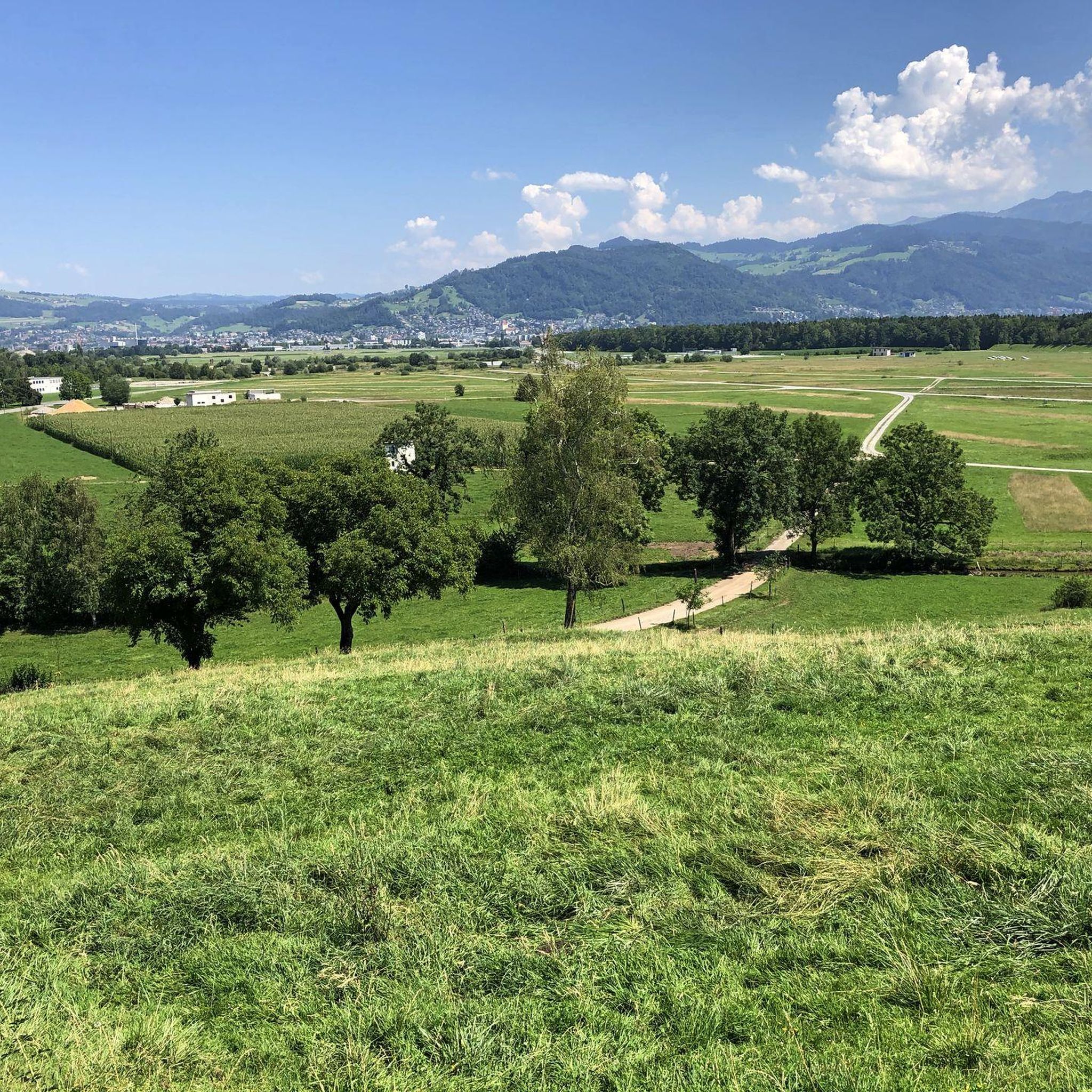
Road cycling around Thierachern offers routes through varied terrain, characterized by views of the Bernese Alps, river valleys, and scenic roads. The region features a mix of gentle gradients along waterways and more undulating sections through agricultural landscapes. Road cyclists can expect routes that traverse open fields, pass by charming villages, and offer glimpses of Lake Thun.
Best road cycling routes around Thierachern
- The most popular road cycling route is Zwieselberg Scenic Road – Simmen Bridge loop from Uetendorf Allmend, an easy 19.9 miles (32.0 km) trail that takes 1 hour 26 minutes to complete. This route offers panoramic views and follows a scenic road.
- Another top favourite among local road cyclists is Steffisburg–Thun Cycle Path – China Höck Restaurant loop from Uetendorf Allmend, an easy 12.6 miles (20.2 km) path. This route features a dedicated cycle path along the Aare river, providing a smooth ride.
- Local road cyclists also love the View of the Bernese Alps – View of Gürbetal loop from Uetendorf Allmend, a 40.1 miles (64.6 km) trail leading through the Gürbetal valley with views of the Bernese Alps, often completed in about 3 hours 11 minutes.
- Road cycling around Thierachern is defined by scenic roads, river valleys, and views of the Bernese Alps. The network offers options for easy, moderate, and difficult ability levels.
- The routes in Thierachern are highly rated by the komoot community with an average score of 4.6 stars from over 700 reviews. More than 18,000 road cyclists have used komoot to explore Thierachern's varied terrain.
Last updated: June 24, 2026
4.7
(7)
182
riders
32.0km
01:25
240m
240m
Easy road ride. Great for any fitness level. Mostly well-paved surfaces and easy to ride.
5.0
(4)
78
riders
Easy road ride. Great for any fitness level. Mostly well-paved surfaces and easy to ride.

Sign up for free
4.0
(1)
45
riders
64.8km
03:08
690m
690m
Moderate road ride. Good fitness required. Mostly well-paved surfaces and easy to ride.
3.0
(1)
43
riders
Easy road ride. Great for any fitness level. Mostly well-paved surfaces and easy to ride.
68
riders
18.8km
01:55
130m
130m
Easy road ride. Great for any fitness level. Mostly well-paved surfaces and easy to ride.
Get access to more routes and recommendations from other explorers.
Sign up for free
Already have an account?
Our route recommendations are based on thousands of hikes, rides, and runs completed by other people on komoot.
Start today with a free account
Your next adventure awaits.
Login or Signup
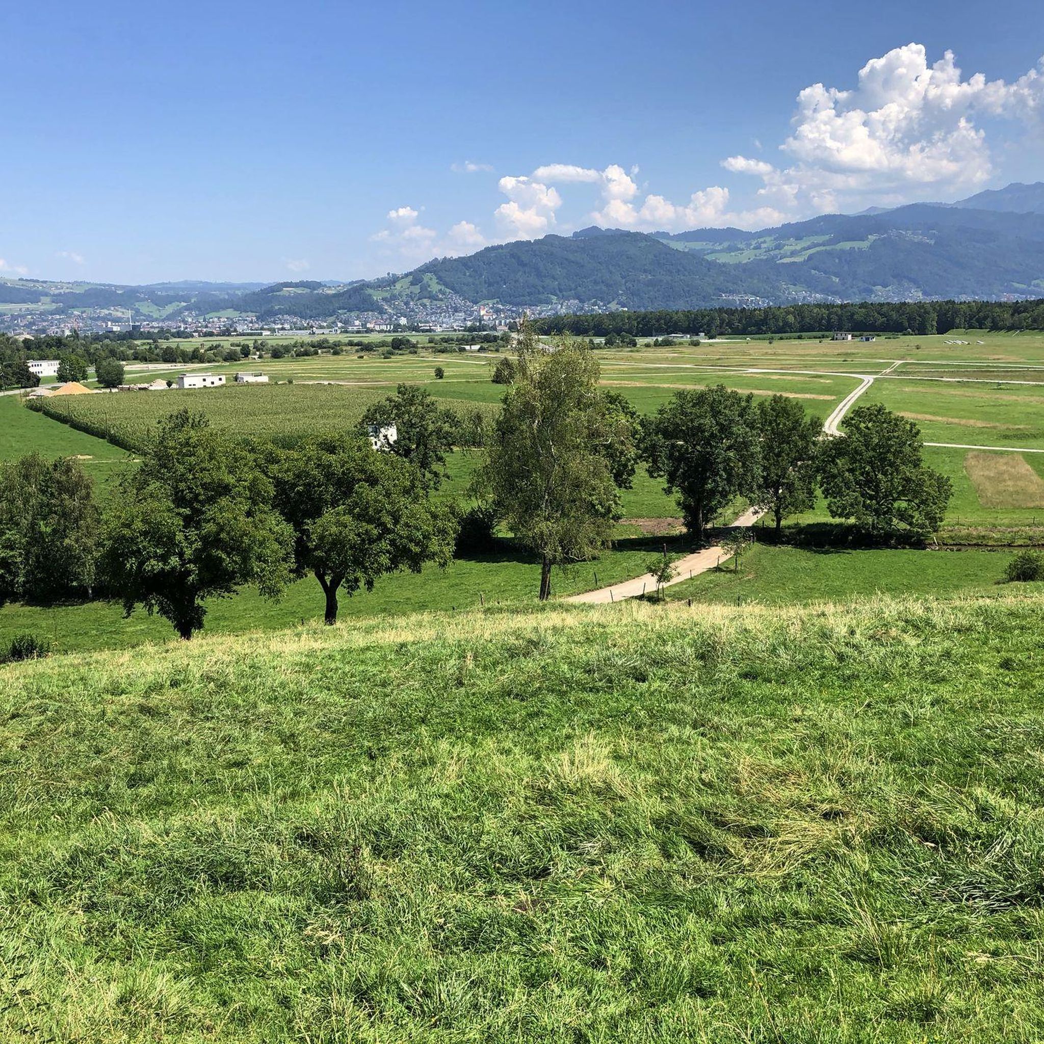
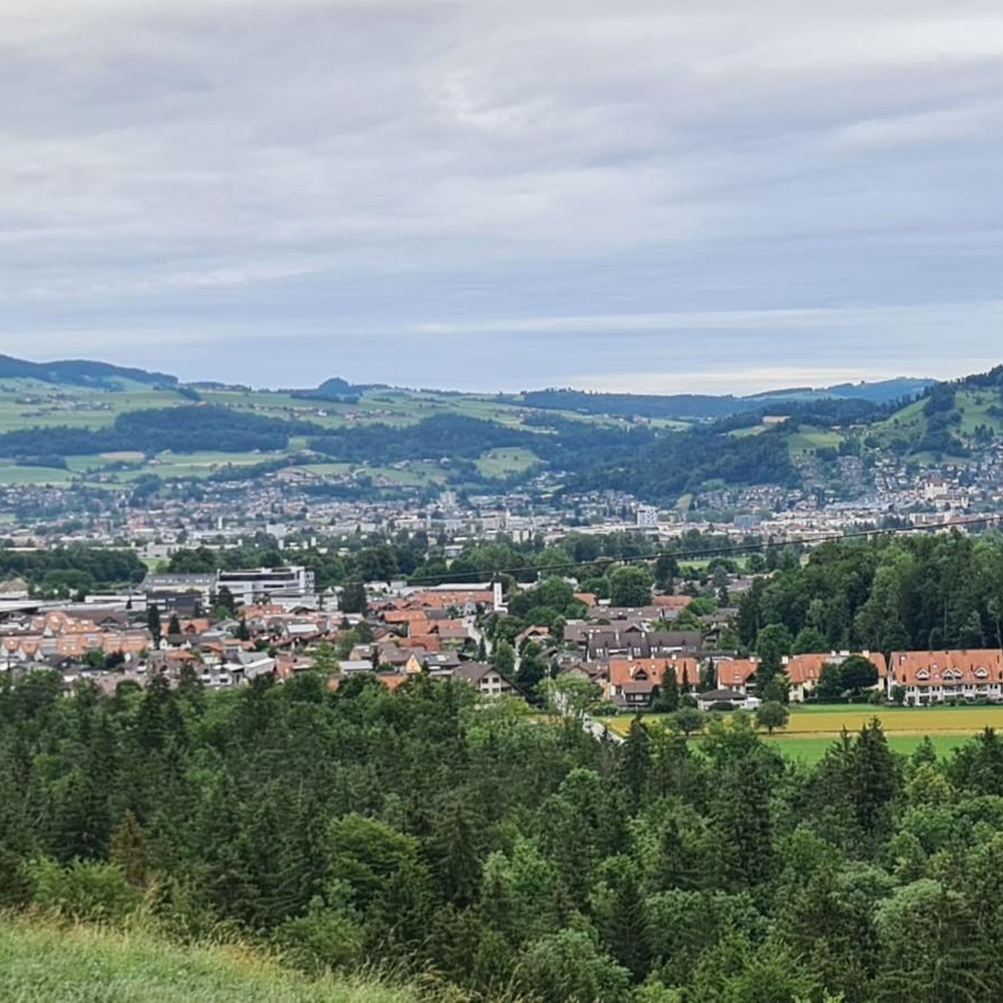
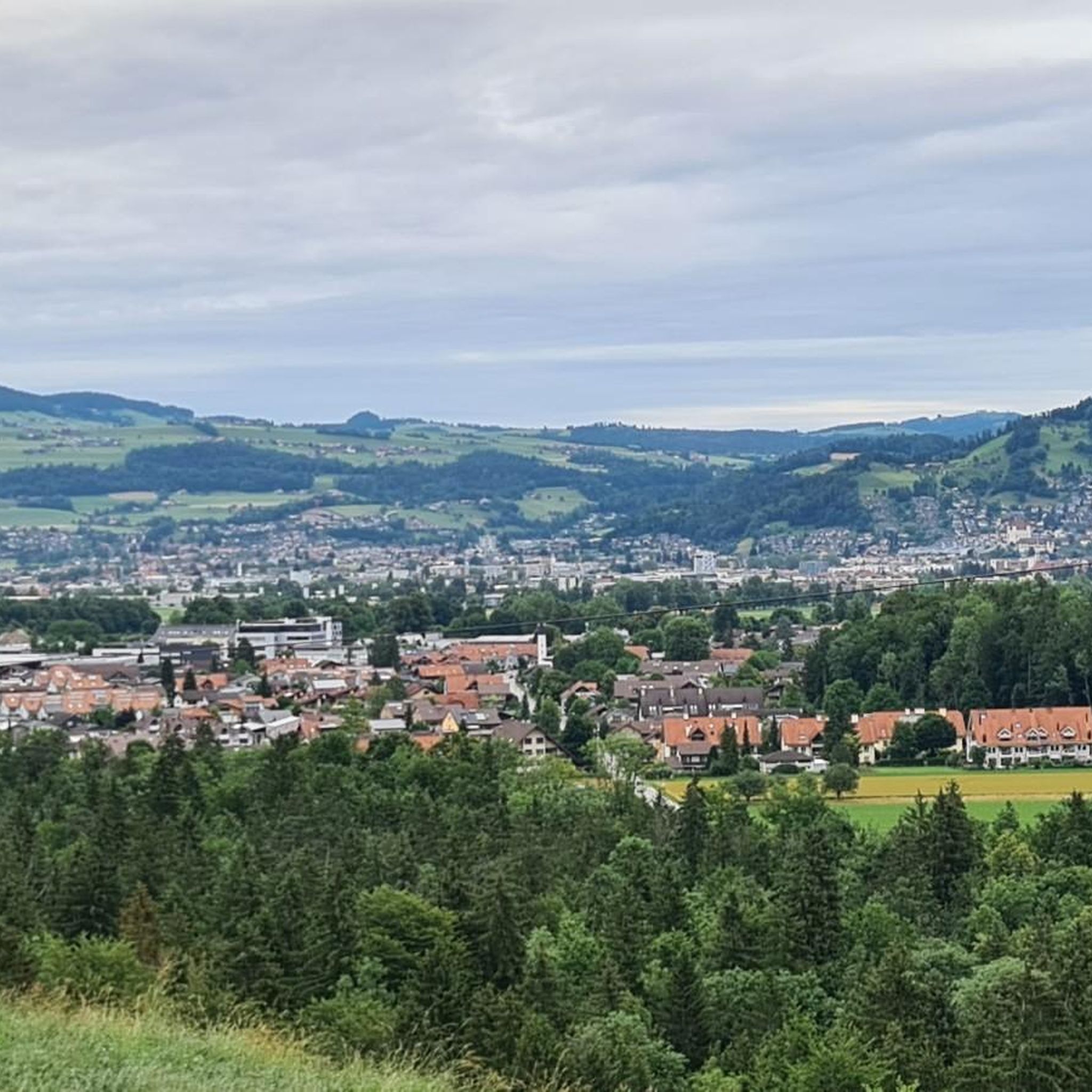

Tips from the Community


Beautiful view, large bike path, old bridge
0
0

The bridge itself is great. Unfortunately, there are no cycle paths before or after it and so this bridge is definitely not of "national importance".
0
0

On the road from Uttigen to Jaberg you will not find the attached pictures
0
0
Chinese restaurant also with Swiss cuisine
0
0

Cycling through Zwieselberg offers a picturesque and invigorating ride along quiet roads that wind through the Bernese Oberland countryside. The route features gentle hills, open fields, and occasional climbs, making it accessible and rewarding for road cyclists. As you pedal, you'll enjoy panoramic views of the surrounding peaks, lush valleys, and traditional Swiss farmhouses that dot the landscape.
1
0

Beautiful descent with views of the Aare valley
1
0

Have you really exhausted yourself on your gravel tour through the Bernese Oberland and are you looking for relaxation and a sport to balance things out? Then the Oberhofen indoor swimming pool fitness park is just the place for you. Athletes, families and connoisseurs - everyone gets their money's worth at the Oberhofen fitness park. During your training you will be rewarded with a wonderful view of Lake Thun and the surrounding mountains. You can really get started with core training on the light-flooded workout area with first-class strength and endurance equipment. And if you want to achieve your fitness goals in the water, you can swim laps in the indoor pool - in summer even in the lake. After your sporting activities you can eat in the bistro or sizzle grilled food you brought with you on the barbecue area. And the kids can look forward to a playground or play mini golf with their parents. You can find more information here: https://www.fitnesspark.ch/fitnessparks/oberhofen-bern/.
0
0
Frequently Asked Questions
How many road cycling routes can I find around Thierachern?
There are over 200 road cycling routes available around Thierachern. These routes cater to various skill levels, with 54 easy, 126 moderate, and 49 difficult options to explore.
Are there road cycling routes suitable for beginners in Thierachern?
Yes, Thierachern offers 54 easy road cycling routes perfect for beginners. An excellent option is the Steffisburg–Thun Cycle Path – China Höck Restaurant loop from Uetendorf Allmend, which is 12.6 miles (20.2 km) long and features a dedicated cycle path along the Aare river, providing a smooth and enjoyable ride.
What options are available for experienced or advanced road cyclists in Thierachern?
Experienced and advanced road cyclists will find 49 difficult and 126 moderate routes around Thierachern. A notable moderate route is the View of the Bernese Alps – View of Gürbetal loop from Uetendorf Allmend, a 40.1 miles (64.6 km) trail with significant elevation gain, offering stunning views through the Gürbetal valley.
Are there any long-distance road cycling routes in the Thierachern area?
Yes, for those seeking longer rides, Thierachern offers several routes, including the View of the Bernese Alps – View of Gürbetal loop from Uetendorf Allmend, which spans 40.1 miles (64.6 km) and provides extensive views of the Bernese Alps.
Can I find circular road bike routes or loops around Thierachern?
Many of the road cycling routes in Thierachern are designed as loops. For example, the popular Zwieselberg Scenic Road – Simmen Bridge loop from Uetendorf Allmend is a 19.9 miles (32.0 km) circular route offering panoramic views. Another option is the Übeschisee loop from Amsoldingen, a 18.7 miles (30.1 km) moderate ride.
What kind of scenic viewpoints can I expect on road bike routes near Thierachern?
Road cycling routes around Thierachern often feature stunning scenic viewpoints. You can enjoy panoramic views of the Bernese Alps, the Gürbetal valley, and glimpses of Lake Thun. The Zwieselberg Scenic Road – Simmen Bridge loop from Uetendorf Allmend is specifically known for its panoramic vistas.
What do other road cyclists say about the routes in Thierachern?
The road cycling routes in Thierachern are highly rated by the komoot community, with an average score of 4.6 stars from over 700 reviews. Cyclists often praise the varied terrain, the scenic roads, and the beautiful views of the Bernese Alps and river valleys.
Are there any interesting landmarks or natural attractions to see along the road cycling routes?
Yes, while cycling around Thierachern, you can explore several natural attractions. Consider visiting the Strättligsteg footbridge over the Kander River or enjoying the View of the Kander Gorge from Hanissteg. The region also features the Cholerenschlucht Gorge and the Glütschbachtal Rocky Stream and Cliff, which are great for a short detour.
What is the best time of year for road cycling in Thierachern?
Thierachern offers enjoyable road cycling conditions through much of the year. Spring and autumn typically provide pleasant temperatures and beautiful scenery. Summer is also popular, though some routes might be more exposed to the sun. Winter cycling is possible, but conditions can vary, especially at higher elevations.
Are there family-friendly road bike routes in Thierachern?
Yes, Thierachern has several easy routes that are suitable for families. The Steffisburg–Thun Cycle Path – China Höck Restaurant loop from Uetendorf Allmend is a great choice, offering a dedicated cycle path along the Aare river, which is generally safer and more comfortable for family rides.
Are there road cycling routes that pass by Lake Thun?
Yes, some road cycling routes in the Thierachern area offer glimpses of Lake Thun. The Mill Lock Bridge, Thun – Oberhofen Castle on Lake Thun loop from Uetendorf Allmend is an easy 13.3 miles (21.3 km) route that takes you towards the lake, allowing you to enjoy its scenic beauty.
Most popular routes around Thierachern
Most popular attractions around Thierachern

Get inspired with the komoot mobile app


Explore more
Browse the best Road cycling routes in other regions.
