The best mountain hikes around Thierachern
4.9
(53)
490
hikers
8
hikes
Mountaineering routes around Thierachern provide access to the diverse landscapes of the Bernese Alps, characterized by pre-alpine and alpine scenery. The region features dramatic rock faces, sweeping alpine valleys, and significant glaciated areas, with iconic peaks reaching over 4000 meters. Nearby Lake Thun offers scenic backdrops, while the area also includes unique moraine lakes and rugged terrain suitable for challenging ascents.
Best mountaineering routes around Thierachern
- The most popular mountaineering route is Brothüsiweg Covered Bridge – Adlerhorst (1960 m) loop…
Last updated: October 9, 2026
4.7
(16)
131
hikers
7.81km
04:08
730m
730m
Hard mountaineering route. Good fitness required. Sure-footedness, sturdy shoes and alpine experience required.
4.5
(2)
12
hikers
8.68km
04:25
790m
790m
Hard mountaineering route. Good fitness required. Sure-footedness, sturdy shoes and alpine experience required.

5.0
(2)
9
hikers
14.3km
06:46
1,190m
1,190m
Hard mountaineering route. Very good fitness required. Sure-footedness, sturdy shoes and alpine experience required.
5.0
(1)
8
hikers
7.11km
04:01
710m
710m
Hard mountaineering route. Good fitness required. Sure-footedness, sturdy shoes and alpine experience required.
5.0
(2)
11
hikers
10.2km
04:27
660m
660m
Hard mountaineering route. Good fitness required. Sure-footedness, sturdy shoes and alpine experience required.
Get access to more routes and recommendations from other explorers.
Already have an account?
Our route recommendations are based on thousands of hikes, rides, and runs completed by other people on komoot.
Start today with a free account
Your next adventure awaits.
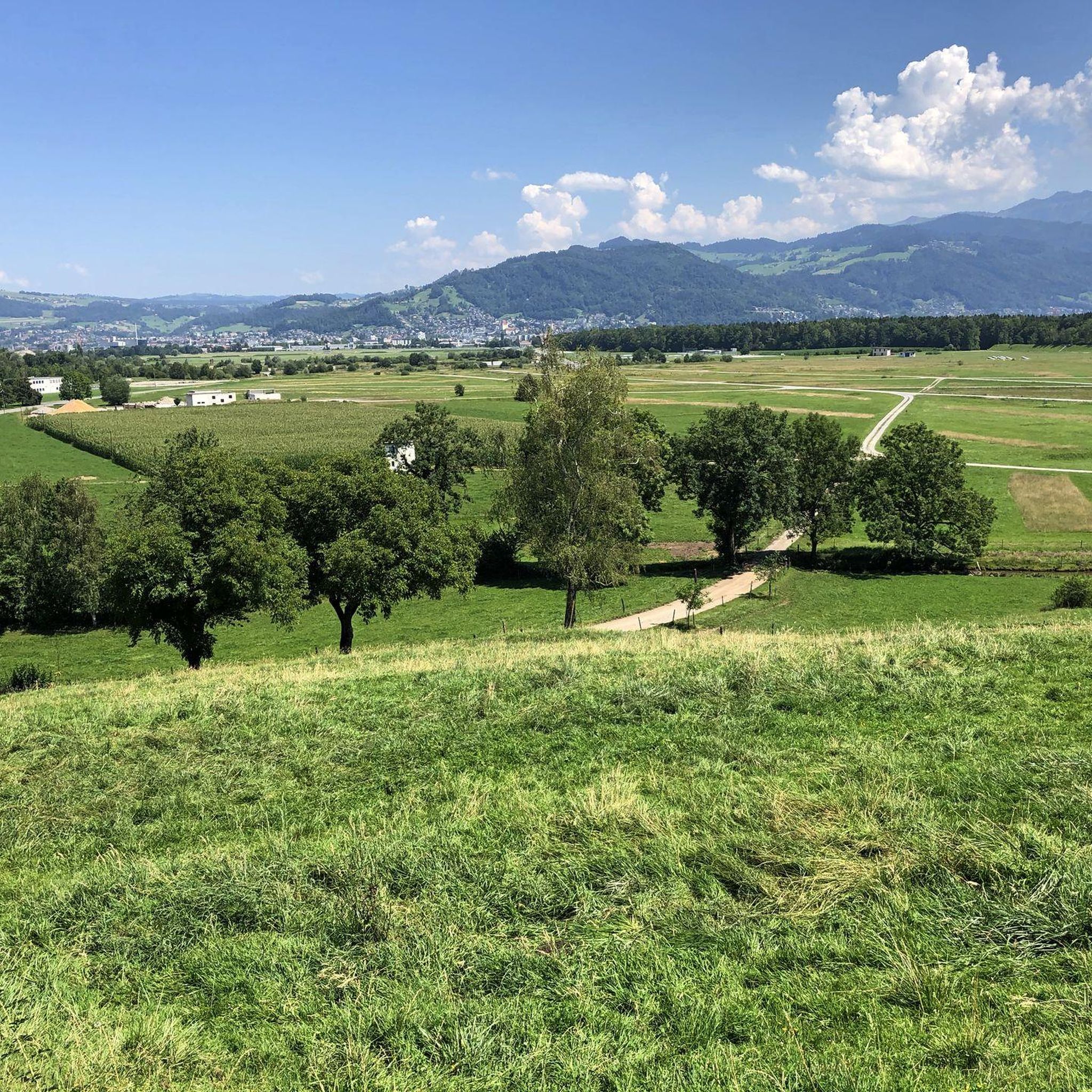
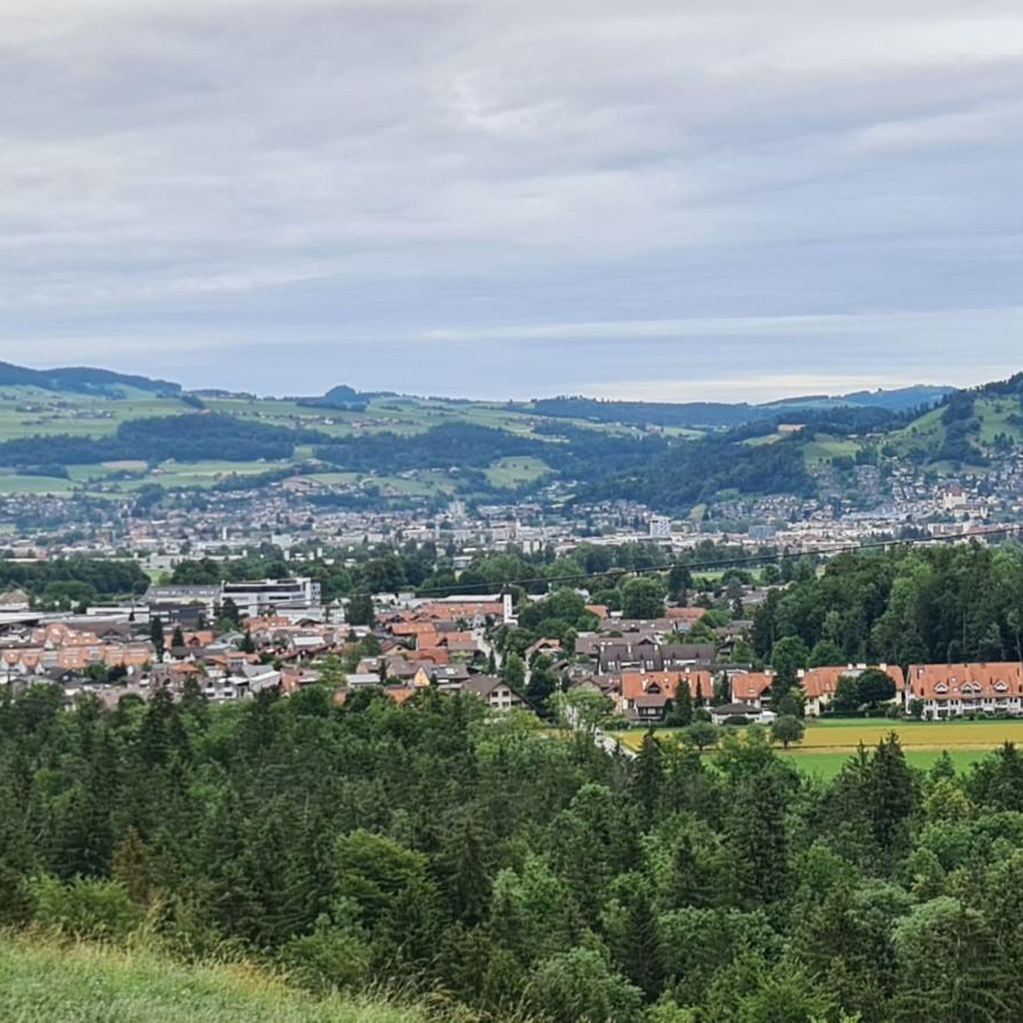
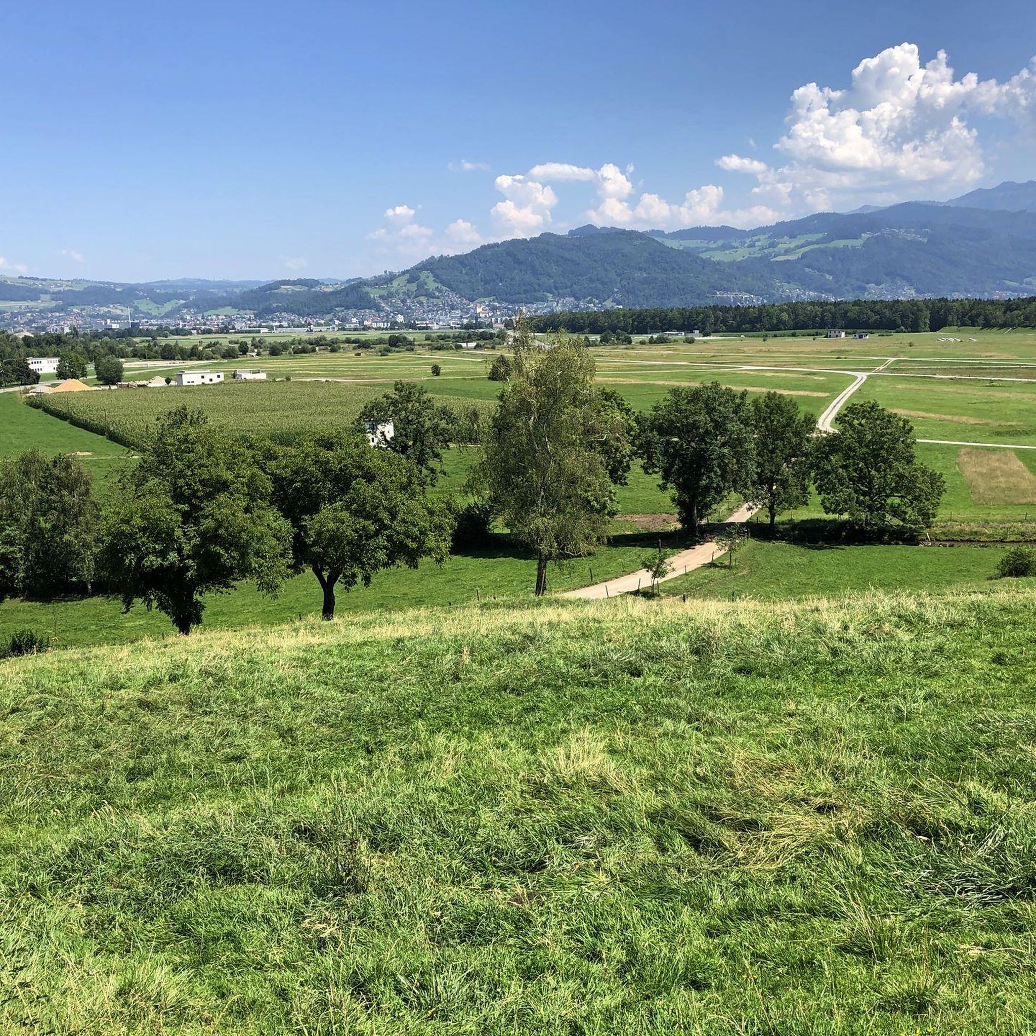
Tips from the Community

The water was not ice-cold as expected after the record summer. A few people were swimming. There are many small fish in the lake.
0
0

Great after-work hike, but I would recommend a helmet as rockfalls from wildlife or other hikers cannot be ruled out.
0
0

It's called Chatz u Muus (Cat and Mouse). That's because, from the Gürbe Valley, it looks as if a cat (Chatz) and a mouse (Muus) are sitting opposite each other. 🐁_🐈⬛
1
0

Somehow homey, honest, a bit more rustic than the other panoramic restaurants. I always enjoy coming here. If you're not sure what to order, you can never go wrong with the apricot cake.
0
0

Great ascent aid for snowshoe hikes🥰
1
0

🌊 Oberstockensee – A mountain lake straight out of a picture book 🏔️✨ Oberstockensee is idyllically situated at around 1,650 m altitude, nestled in the impressive mountain world of the Stockhorn. It is a true natural jewel and perfect for a relaxing break in the Alps. 🥾 Accessibility: Start from the Chrindi middle station 🚡 🌟 Highlights: Crystal-clear water – ideal for cooling off on hot days ❄️ Reflecting mountain scenery – perfect for photos 📸 Fishing allowed – a paradise for anglers 🎣
1
0
Karst rock is formed by the weathering and dissolution of limestone, dolomite or gypsum. Over thousands of years, water has formed impressive landscapes with spectacular rock formations. 🌊 Formation: Rainwater, which is slightly acidic, slowly erodes limestone and forms caves, sinkholes, gorges and bizarre rock formations. 📍 Well-known karst areas: Schrattenfluh (CH), Dolomites (IT), Karst region of Slovenia
0
0
🚡 Chrindi middle station - the gateway to adventure on the Stockhorn 🏔️✨ The Chrindi middle station is the perfect starting point for unforgettable experiences around the Stockhorn: 🌊 Hinterstockensee: Can be reached in just a few minutes - ideal for swimming, fishing or simply relaxing by the water. 🥾 Hiking paradise: Start varied hikes here with breathtaking views of the Simmental and the Bernese Alps. 🚠 Onward journey: Take the Stockhorn cable car to the summit station for a 360° panorama.
0
1
Frequently Asked Questions
What kind of mountaineering experiences can I expect around Thierachern?
Mountaineering routes around Thierachern offer access to the diverse landscapes of the Bernese Alps. You'll find dramatic rock faces, sweeping alpine valleys, and significant glaciated areas, with iconic peaks reaching over 4000 meters. The region provides options for experienced mountaineers seeking challenging ascents and technical climbs.
How many mountaineering routes are available in the Thierachern area?
There are 8 mountaineering routes available around Thierachern. All of them are rated as difficult, offering significant challenges for experienced mountaineers.
What do other mountaineers say about the routes in Thierachern?
The mountaineering routes around Thierachern are highly rated by the komoot community, with an average score of 4.9 stars from over 40 reviews. Mountaineers often praise the challenging ascents and the stunning panoramic views of the Bernese Alps.
Are there any circular mountaineering routes in Thierachern?
Yes, several routes offer a circular experience. For example, the Brothüsiweg Covered Bridge – Adlerhorst (1960 m) loop from Wimmis is a difficult 4.6-mile (7.3 km) trail with sustained climbing. Another option is the Chrümmelwägen Tunnel – Möntschelespitz loop from Blumenstein, an 8.8-mile (14.1 km) path traversing varied alpine terrain.
What are some notable natural features or viewpoints I might encounter on these routes?
The region is rich in natural beauty. You might encounter stunning vistas of Lake Thun, which serves as a scenic backdrop to the mountainous terrain. Some routes, like the Stockhorn Viewing Platform – Oberstockensee loop from Stockhorn, offer access to highlights such as the Oberstockensee and the Hinterstockensee. The Blueme Observation Tower also offers excellent views.
What is the best time of year for mountaineering around Thierachern?
The best time for mountaineering in the Bernese Alps region, accessible from Thierachern, is typically during the warmer months, from late spring to early autumn (June to September). During this period, snowmelt allows for better access to higher elevations, and weather conditions are generally more stable, though alpine weather can change rapidly.
Are there any family-friendly or dog-friendly mountaineering options?
The mountaineering routes listed for Thierachern are all rated as difficult, involving significant elevation gain and challenging terrain, making them generally unsuitable for young children or casual family outings. While some trails in the broader region might be dog-friendly, the technical nature of these specific mountaineering routes means they are best suited for experienced individuals and may not be ideal for dogs.
Can I access these mountaineering routes using public transport?
While Thierachern itself is well-connected, accessing specific trailheads for mountaineering routes often requires planning. Some routes, like those starting from Wimmis or Blumenstein, may be reachable by local buses or trains, followed by a walk to the trailhead. For routes leading to summits like Stockhorn, consider checking local transport options to cable car stations, such as the Chrindi Middle Station (Stockhornbahn), which can reduce the approach.
Are there any specific peaks or summits that are popular for mountaineering in this area?
Yes, the region offers access to several notable peaks. The Gantrisch Summit is a popular choice, offering a manageable ascent for those with average fitness but requiring surefootedness. The Stockhorn Summit is also highly regarded for its magnificent views of Lake Thun and Lake Brienz, and features climbing areas for various skill levels.
Where can I find accommodation or places to eat near the mountaineering routes?
Thierachern and the surrounding towns like Thun offer various accommodation options, from hotels to guesthouses. You'll also find cafes and restaurants in these areas. For routes closer to specific mountains like Gantrisch or Stockhorn, there might be mountain huts or smaller eateries available, especially near cable car stations or popular trailheads.
What is the most challenging mountaineering route around Thierachern?
Among the listed routes, the Möntschelespitz loop from Blumenstein stands out as particularly challenging. It covers 9.9 miles (15.9 km) with over 4,158 feet (1267 m) of elevation gain, making it the longest and highest ascent among the featured routes, traversing varied alpine terrain towards Möntschelespitz.
Most popular routes around Thierachern
Most popular attractions around Thierachern

Get inspired with the komoot mobile app


Explore more
Browse the best Mountain Hikes & Routes in other regions.
