The best road cycling routes around Thallichtenberg
4.6
(73)
1,340
riders
119
rides
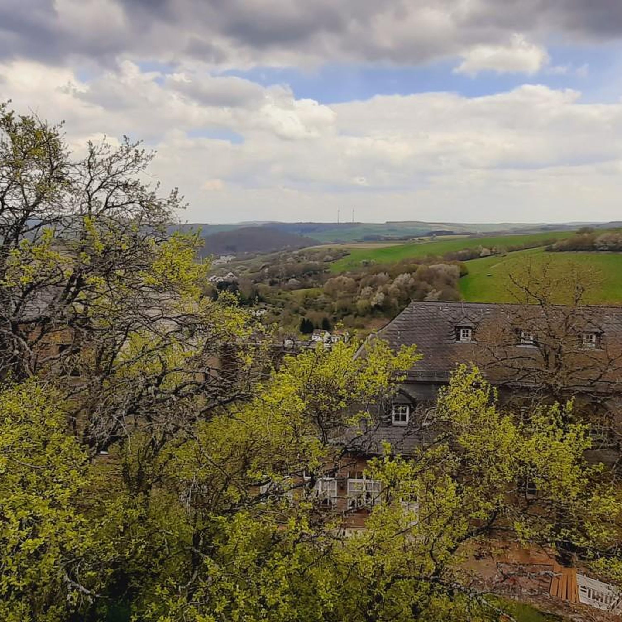
Road cycling routes around Thallichtenberg traverse a landscape characterized by rolling hills, river valleys, and a mix of open countryside and forested sections. The region offers varied terrain, from converted rail trails providing gentler gradients to more challenging ascents. Cyclists can expect routes that connect small towns, historical sites, and natural features like ponds and viaducts. This area provides a diverse backdrop for road cycling, catering to different preferences and fitness levels.
Best road cycling routes around Thallichtenberg
- The most…
Last updated: July 5, 2026
4.5
(2)
163
riders
29.2km
01:25
380m
380m
Moderate road ride. Good fitness required. Mostly well-paved surfaces and easy to ride.
29
riders
Moderate road ride. Good fitness required. Some segments of this route may be unpaved and difficult to ride.

Sign up for free
22
riders
87.8km
04:39
1,530m
1,530m
Hard road ride. Very good fitness required. Some segments of this route may be unpaved and difficult to ride.
5.0
(1)
11
riders
Moderate road ride. Good fitness required. Some segments of this route may be unpaved and difficult to ride.
6
riders
50.0km
02:22
590m
590m
Moderate road ride. Good fitness required. Mostly well-paved surfaces and easy to ride.
Get access to more routes and recommendations from other explorers.
Sign up for free
Already have an account?
Our route recommendations are based on thousands of hikes, rides, and runs completed by other people on komoot.
Start today with a free account
Your next adventure awaits.
Login or Signup

Other adventures around Thallichtenberg

Tips from the Community

You walk over the Nahe bridge in the direction of DRK and find the premium hiking trail Nohener-Nahe-Schleife. At the beginning there is a resting place.
1
0

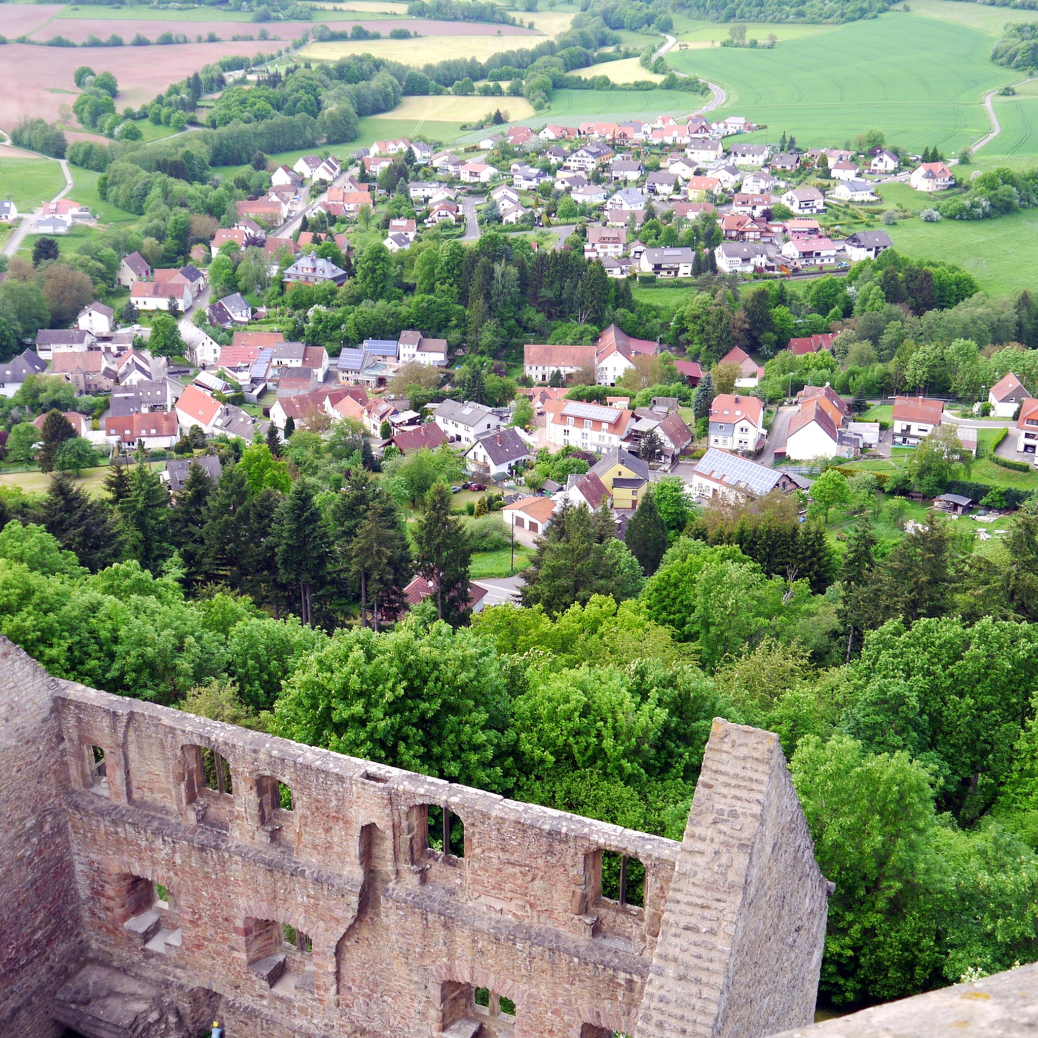
Lichtenberg Castle is one of the largest castle ruins in Germany
0
0

OK, the Stelvio is unrivaled...but yes, the switchbacks are fine...
0
0

We passed through here on the third day of our Trier-Grünstadt tour. It's one of the most beautiful bike paths we've ever ridden.
1
0

The Türkismühle information point is a popular spot for cyclists and hikers in the St. Wendeler Land region. It is located near the former mill, dating back to 1747, and features information panels about its history. The surrounding area is ideal for hikes and bike rides through the picturesque landscape.
2
0
Frequently Asked Questions
How many road cycling routes are available around Thallichtenberg?
Thallichtenberg offers a wide selection of road cycling routes, with over 120 tours available. These routes cater to various skill levels, from easy to difficult.
What kind of terrain can I expect when road cycling in Thallichtenberg?
The region around Thallichtenberg features diverse terrain, including rolling hills, picturesque river valleys, and a mix of open countryside and forested sections. You'll find routes that utilize converted rail trails for gentler gradients, as well as more challenging ascents.
Are there road cycling routes suitable for beginners in Thallichtenberg?
Yes, Thallichtenberg has approximately 10 easy road cycling routes, perfect for beginners or those looking for a more relaxed ride. These routes often follow flatter sections or converted rail trails.
What are some challenging road cycling routes for experienced cyclists in Thallichtenberg?
For experienced cyclists seeking a challenge, there are around 27 difficult routes. An example is the Oberkirchen Viaduct – Lichtenberg Castle loop from Baumholder, which covers 54.5 miles (87.8 km) with significant elevation gain, leading through demanding terrain and past historical landmarks.
Are there any circular road cycling routes around Thallichtenberg?
Many routes in the Thallichtenberg area are designed as loops. For instance, the Baumholder Pond – Breitsesterhof loop from Baumholder is a moderate 18.1-mile (29.2 km) trail that offers a scenic circular ride.
What interesting sights or landmarks can I see along road cycling routes in Thallichtenberg?
Road cycling routes in Thallichtenberg often pass by historical sites and natural features. You might encounter the Erdesbach Weir on the Glan, the Hellerberg Quarry – Historic Agate Mining, or the impressive Potzberg Tower offering panoramic views.
Are there any routes that incorporate former rail trails for smoother riding?
Yes, the region is known for incorporating sections of converted rail trails. The Iron Bridge in Türkismühle – Sankt Wendeler Land Rail Trail loop from Baumholder is a moderate 37.4-mile (60.1 km) route that specifically utilizes parts of the Sankt Wendeler Land Rail Trail, providing smoother surfaces through varied scenery.
What do other cyclists say about road cycling in Thallichtenberg?
The road cycling routes in Thallichtenberg are highly rated by the komoot community, with an average score of 4.5 stars from over 70 reviews. Cyclists often praise the varied terrain, the mix of open landscapes and forested sections, and the well-maintained paths, especially the rail trail sections.
Are there road cycling routes that connect small towns or historical sites?
Absolutely. The routes are designed to connect small towns and historical sites, offering a blend of natural beauty and cultural exploration. For example, the Martin Train Station – Old Birkenfeld Railway Station loop from Baumholder takes you through different localities and past historical railway infrastructure.
What is the best time of year for road cycling in Thallichtenberg?
While specific data isn't provided, road cycling in regions with rolling hills and mixed landscapes like Thallichtenberg is generally best enjoyed from spring through autumn. These seasons offer pleasant temperatures, vibrant scenery, and typically drier conditions for optimal riding.
Can I find routes that offer a good balance of distance and elevation gain?
Yes, many routes provide a balanced challenge. The Nohen Bridge – Baumholder loop from Baumholder is a moderate 50.1-mile (80.6 km) route with a respectable elevation gain, offering a good workout while allowing you to enjoy the regional scenery.
Most popular attractions around Thallichtenberg

Get inspired with the komoot mobile app


Explore more
Browse the best Road cycling routes in other regions.
