The best gravel rides around Thallichtenberg
4.8
(22)
97
riders
18
rides
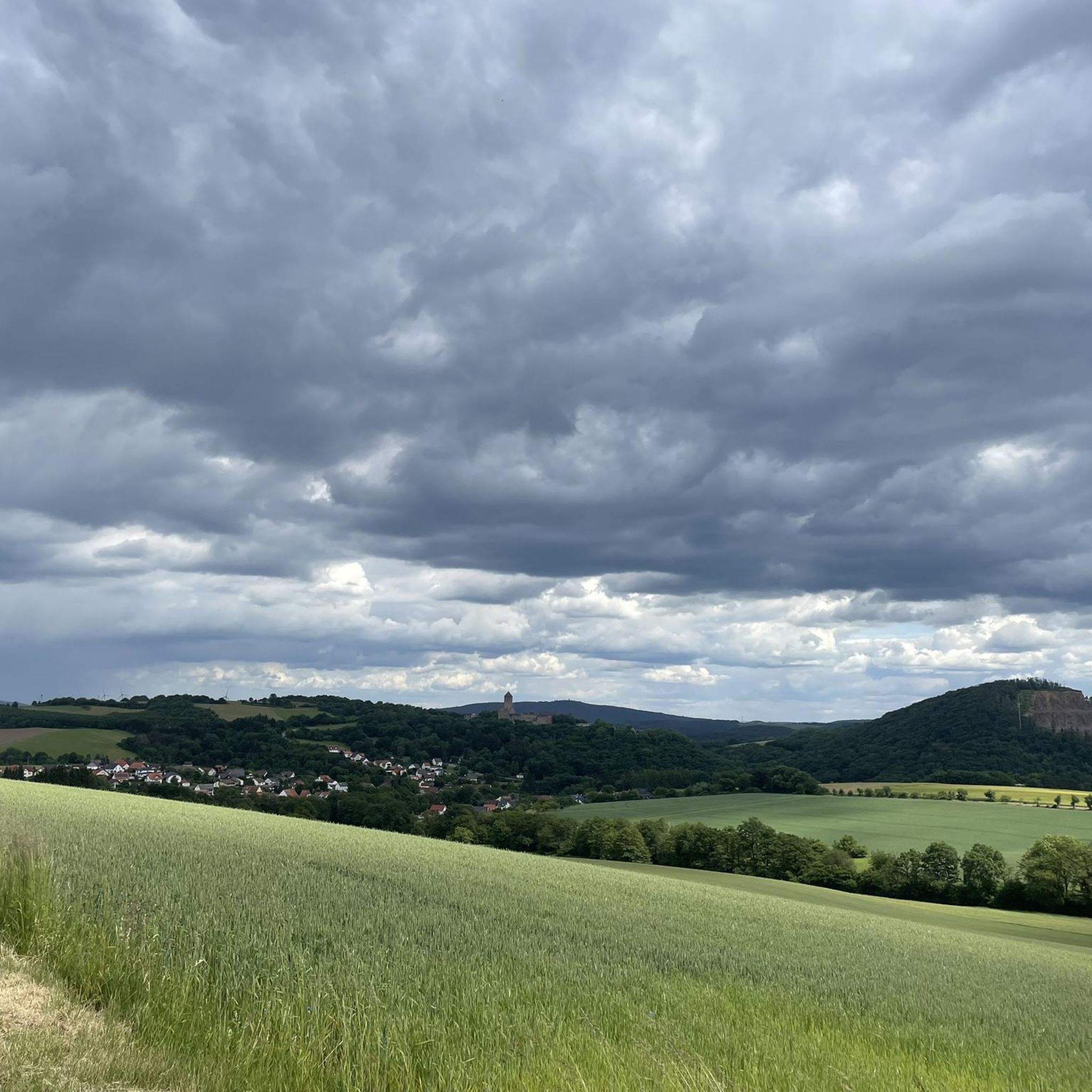
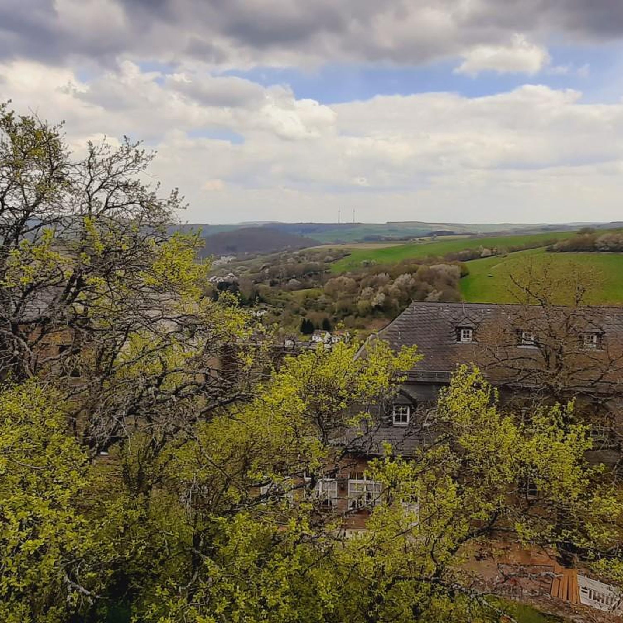
Gravel biking around Thallichtenberg features a landscape shaped by former railway lines, now converted into scenic trails, alongside natural features like the Palatinate Uplands. The region offers varied terrain, including dense forests, rolling hills, and sections that follow river valleys. Elevations are moderate, with routes often incorporating old railway bridges and tunnels. This dynamic environment provides diverse surfaces suitable for gravel bikes.
Best gravel bike trails around Thallichtenberg
- The most popular gravel bike trail is Bostal Lake – View of…
Last updated: July 3, 2026
5.0
(3)
14
riders
34.1km
01:53
310m
310m
Moderate gravel ride. Good fitness required. Mostly paved surfaces. Suitable for all skill levels.
13
riders
28.1km
01:40
310m
310m
Moderate gravel ride. Good fitness required. Mostly paved surfaces. Suitable for all skill levels.

Sign up for free
5.0
(2)
10
riders
73.9km
04:14
720m
720m
Hard gravel ride. Very good fitness required. Mostly paved surfaces. Suitable for all skill levels.
5.0
(2)
14
riders
28.9km
01:37
310m
310m
Moderate gravel ride. Good fitness required. Mostly paved surfaces. Suitable for all skill levels.
4.0
(1)
4
riders
22.3km
01:34
360m
360m
Hard gravel ride. Good fitness required. You may need to push your bike for some segments of this route.
Get access to more routes and recommendations from other explorers.
Sign up for free
Already have an account?
Our route recommendations are based on thousands of hikes, rides, and runs completed by other people on komoot.
Start today with a free account
Your next adventure awaits.
Login or Signup
Other adventures around Thallichtenberg

Tips from the Community

Great cycle path, super route
0
0

Information boards from ancient times
0
0
Good to drive
1
0

Very nice in clear weather!
0
0

Nice to do kilometers
0
0

Very well developed. Good signage. Color coding when crossing a road. Exemplary.
3
0

The Fritz Wunderlich Trail is one of the most beautiful railway cycle paths in southwest Germany. https://de.wikipedia.org/wiki/Fritz-Wunderlich-Weg
0
0

beautiful cycling route with many nice rest areas
1
0
Frequently Asked Questions
How many gravel bike trails are available around Thallichtenberg?
There are over 25 gravel bike routes available in the Thallichtenberg area, offering a variety of experiences for different skill levels.
What are the typical distances of gravel bike routes in the Thallichtenberg area?
The gravel bike routes around Thallichtenberg vary significantly in length. You'll find options ranging from around 28 kilometers (17 miles) up to nearly 74 kilometers (46 miles), such as the Former Glantal Railway Route – Old Railway Bridge loop from Altenglan.
Are there easy gravel bike trails around Thallichtenberg suitable for beginners?
While many routes are rated moderate to difficult, some sections of the converted railway lines offer gentler gradients. For a moderate option, consider the Niederberg Tunnel – Old Railway Bridge loop from Rammelsbach, which is 34.1 kilometers (21.2 miles) long and explores old railway infrastructure.
Are there challenging gravel bike routes for experienced riders in Thallichtenberg?
Yes, Thallichtenberg offers several challenging routes. The Bostal Lake – View of Bostalsee from the dam loop from Herchweiler is a difficult 55.3-kilometer (34.4-mile) trail with significant elevation changes, providing a good test for experienced gravel bikers.
What kind of views and landmarks can I expect along the gravel bike trails?
The trails often feature scenic views of Bostal Lake, old railway bridges, and tunnels, reflecting the region's history. You can also find viewpoints like the View of the Potzberg or the View from Trautzberg, offering panoramic vistas of the surrounding landscape.
Are there any circular gravel bike routes in the area?
Yes, many of the gravel bike routes around Thallichtenberg are designed as loops. Examples include the Iron Bridge – Sankt Wendeler Land Rail Trail loop from Herchweiler, which is a moderate 28-kilometer (17.4-mile) ride.
What do other gravel bikers enjoy most about riding in Thallichtenberg?
The komoot community rates the routes highly, with an average score of 4.9 stars. Riders often praise the unique experience of cycling on converted railway lines, the varied terrain, and the scenic lake views, especially around Bostal Lake.
Are there any specific attractions or points of interest near the gravel trails?
Beyond the trails themselves, you can explore various natural and historical highlights. Notable attractions include the Weiselberg Summit and Steinerne Meer, or tranquil spots like the Baumholder Town Pond.
What is the best time of year for gravel biking in Thallichtenberg?
The region's moderate elevations and converted railway lines make it enjoyable for gravel biking through much of the year. Spring and autumn offer pleasant temperatures and vibrant scenery, while summer provides longer daylight hours. Winter riding is possible, but conditions may vary.
Where can I find parking for gravel biking in Thallichtenberg?
Specific parking information is typically detailed on individual tour pages. Many routes start from villages or towns like Herchweiler, Rammelsbach, or Altenglan, where public parking options are usually available.
Are there any routes that pass by cafes or places to stop for refreshments?
While specific cafe stops are not detailed in the general guide, routes that pass through or near villages and towns along the former railway lines, such as the Ostertal Cycle Path – Oberkirchen Viaduct loop from Herchweiler, often provide opportunities to find local eateries or shops for refreshments.
Most popular routes around Thallichtenberg
Most popular attractions around Thallichtenberg

Get inspired with the komoot mobile app


Explore more
Browse the best Gravel rides in other regions.
