The best road cycling routes around Tattendorf
4.4
(589)
11,505
riders
332
rides
Road cycling around Tattendorf features a landscape characterized by flat canal paths, open agricultural fields, and gently rolling terrain. The region offers routes that traverse riverine areas and provide views of distant hills. Road cyclists can expect a mix of paved roads and dedicated cycling paths, with some routes including moderate ascents.
Best road cycling routes around Tattendorf
- The most popular road cycling route is Einöde Hill Climb – Heiligenkreuz Abbey loop from Oberwaltersdorf, a 37.9 miles (60.9 km) trail that takes 2 hours 51 minutes to complete. This route includes a notable hill climb and passes by cultural landmarks.
- Another top favourite among local road cyclists is Freudenau Sluice Gate – Himberger Straße loop from Oberwaltersdorf, a moderate 40.3 miles (64.9 km) path. This route follows open roads and passes by waterside features.
- Local road cyclists also love the Himberger Highway – Mitterbach Canal Cycling Path loop from Oberwaltersdorf, a 25.0 miles (40.3 km) trail leading through canal paths and open areas, often completed in about 1 hour 37 minutes.
- Road cycling around Tattendorf is defined by canal paths, open fields, and gentle ascents. The network offers options for different ability levels, from flat routes to those with moderate climbs.
- The routes in Tattendorf are highly rated by the komoot community with an average score of 4.4 stars from over 500 reviews. More than 11,000 road cyclists have used komoot to explore Tattendorf's varied terrain.
Last updated: July 9, 2026
4.8
(14)
269
riders
61.3km
02:53
680m
680m
Moderate road ride. Good fitness required. Mostly well-paved surfaces and easy to ride.
4.5
(27)
63
riders
Moderate road ride. Great for any fitness level. Some segments of this route may be unpaved and difficult to ride.

Sign up for free
4.5
(2)
43
riders
31.5km
01:15
60m
60m
Moderate road ride. Great for any fitness level. Some segments of this route may be unpaved and difficult to ride.
4.3
(3)
24
riders
Moderate road ride. Good fitness required. Some segments of this route may be unpaved and difficult to ride.
20
riders
71.7km
03:14
720m
720m
Moderate road ride. Good fitness required. Some segments of this route may be unpaved and difficult to ride.
Get access to more routes and recommendations from other explorers.
Sign up for free
Already have an account?
Our route recommendations are based on thousands of hikes, rides, and runs completed by other people on komoot.
Start today with a free account
Your next adventure awaits.
Login or Signup


Tips from the Community

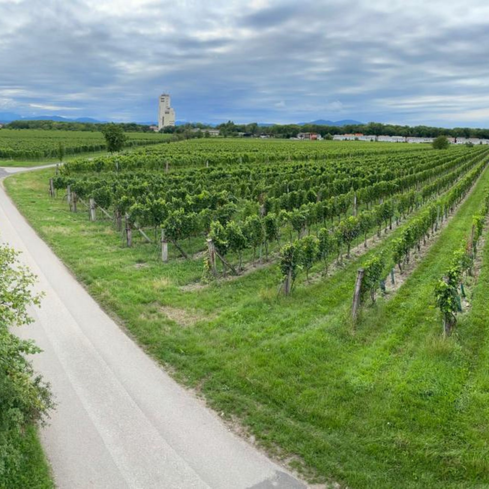
Pleasant stretch of road to cycle with gravel.
0
0

The menu promises a lot, but we have eaten at this price with much better quality.
0
0
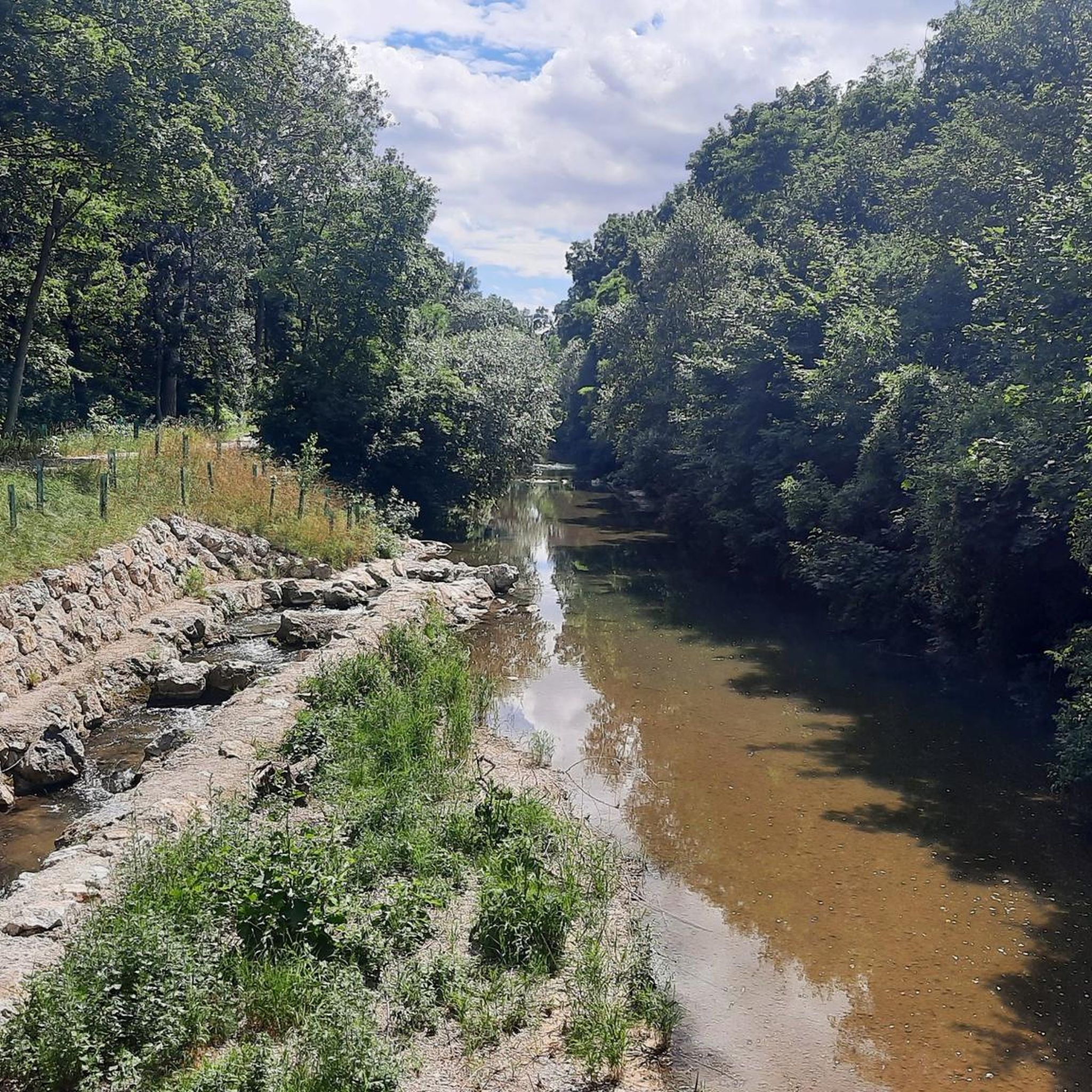
Paved cycle path along the Triesting through a wooded area, thus providing many shady sections. Along the path, many small bridges for crossing the Triesting, as well as many benches.
0
0
The Leopold Column, a historic wayside shrine, commemorates the important Babenberg margraves Leopold III. (the Saint) and his son Leopold IV., as well as Bishop Otto of Freising, one of the most important chroniclers of the Middle Ages.
1
0

The route is good to ride, but relatively busy with traffic
0
0
Asphalted cycle path along the Mitterbach - you can feel the energy of water and pure nature in your legs and in your soul.
0
0

The admin should name the correct place, because Pressbaum is far away from it!!
3
0
Frequently Asked Questions
How many road cycling routes are available around Tattendorf?
There are over 330 road cycling routes around Tattendorf, offering a wide range of options for different skill levels and preferences.
Are there easy road cycling routes suitable for beginners in Tattendorf?
Yes, Tattendorf offers more than 80 easy road cycling routes. These typically feature flat canal paths and open agricultural fields, providing a gentle introduction to the region's cycling landscape.
What options are there for more advanced road cyclists seeking a challenge?
For advanced road cyclists, there are over 30 difficult routes available. One notable option is the View of Hohe Wand – Aigen Ascent loop from Teesdorf, which covers over 71 km and includes significant elevation gain, offering a demanding ride with rewarding views.
What is the typical length of road cycling routes in the Tattendorf area?
Road cycling routes in Tattendorf vary in length. Many popular routes range from 40 km to over 70 km. For example, the Himberger Highway – Mitterbach Canal Cycling Path loop from Oberwaltersdorf is about 40 km, while the Einöde Hill Climb – Heiligenkreuz Abbey loop from Oberwaltersdorf extends to nearly 61 km.
Are there many circular road cycling routes around Tattendorf?
Yes, the majority of road cycling routes in the Tattendorf area are designed as loops, allowing you to start and finish at the same point. This makes planning your ride and return journey straightforward.
What kind of terrain can I expect on road cycling routes in Tattendorf?
The terrain around Tattendorf is characterized by a mix of flat canal paths, open agricultural fields, and gently rolling hills. Some routes, like the Einöde Hill Climb – Heiligenkreuz Abbey loop from Oberwaltersdorf, include moderate ascents, while others, such as the Freudenau Sluice Gate – Himberger Straße loop from Oberwaltersdorf, follow more open and flatter roads.
What do other road cyclists enjoy the most about road cycling in Tattendorf?
The area is highly rated by the komoot community, with an average score of 4.4 stars from over 500 reviews. Cyclists often praise the varied terrain, from peaceful canal paths to routes with scenic views and challenging climbs, as well as the well-maintained paved roads.
What natural attractions can I see along the road cycling routes?
While cycling, you might encounter natural monuments and viewpoints. Highlights include the Bad Vöslau Spa Park and the Kurpark Baden. For panoramic views, consider routes that pass near the Wilhelmswarte on the Hochanninger summit or the View from Helenenhöhe.
Are there any historical landmarks or points of interest near the cycling paths?
Yes, the region offers several historical points of interest. You could cycle past Pottendorf Castle, or explore routes that lead towards cultural sites like Heiligenkreuz Abbey, as featured in the Einöde Hill Climb – Heiligenkreuz Abbey loop from Oberwaltersdorf.
What is the best time of year for road cycling in Tattendorf?
The best time for road cycling in Tattendorf is typically from spring through autumn (April to October). During these months, the weather is generally mild and pleasant, with less chance of extreme heat or cold, making for ideal cycling conditions across the open fields and canal paths.
Are there any road cycling routes that offer scenic viewpoints?
Absolutely. Routes that venture towards the slightly more elevated areas or along riverine sections often provide scenic views. The View of Hohe Wand – Aigen Ascent loop from Teesdorf, for instance, offers vistas of the Hohe Wand mountain range, while other routes provide expansive views over the agricultural landscape.
Can I find routes that are suitable for families with children?
While specific 'family-friendly' routes are not explicitly categorized, the numerous easy and flat routes, particularly those along canal paths, are generally well-suited for families. These paths offer a safe and enjoyable environment away from heavy traffic.
Most popular routes around Tattendorf
Most popular attractions around Tattendorf

Get inspired with the komoot mobile app


Explore more
Browse the best Road cycling routes in other regions.
