The best walks and hikes around Sant'Angelo Lodigiano
4.1
(231)
1,077
hikers
132
hikes
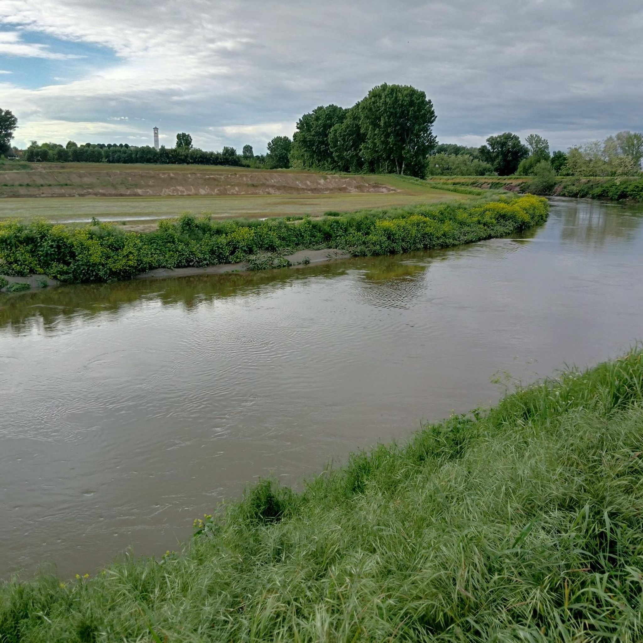
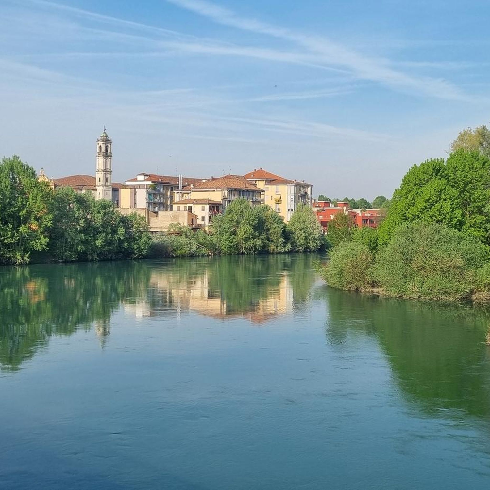
Hiking around Sant'Angelo Lodigiano offers access to a landscape shaped by the Adda River and agricultural plains in the Lombardy region of Italy. The area features regional parks such as Parco Adda Sud, which provides a network of paths along the river. While not mountainous, the terrain includes varied itineraries suitable for different levels of trekking. The natural setting is defined by its riverine environment and flatlands.
Best hiking trails around Sant'Angelo Lodigiano
- The most popular hiking route is Chapel of Madonna of the Mountains – Pond of San Colombano Park loop from San Colombano al Lambro, a 3.9 miles (6.2 km) trail that takes 1 hour 42 minutes to complete. This easy route explores the local parkland and natural features.
- Another top favourite among local hikers is Madonna del Latte Chapel loop from Miradolo Terme, a moderate 5.6 miles (9.0 km) path. This trail offers a mix of open countryside and local points of interest.
- Local hikers also love the Colli Banini – Chapel of Madonna of the Mountains loop from San Colombano al Lambro, a 5.9 miles (9.4 km) trail leading through varied terrain, often completed in about 2 hours 37 minutes.
- Hiking around Sant'Angelo Lodigiano is defined by the Adda River, agricultural fields, and dedicated natural areas like Parco Adda Sud and Parco Ittico Paradiso. The network offers options for different ability levels, from easy strolls to more challenging routes.
- The routes in Sant'Angelo Lodigiano are highly rated by the komoot community with an average score of 4.0 stars from over 170 reviews. More than 750 hikers have used komoot to explore Sant'Angelo Lodigiano's varied terrain.
Last updated: October 18, 2026
5.0
(2)
7
hikers
8.97km
02:23
100m
100m
Moderate hike. Good fitness required. Easily-accessible paths. Suitable for all skill levels.
3.5
(2)
17
hikers
Moderate hike. Good fitness required. Easily-accessible paths. Suitable for all skill levels.

4.5
(2)
13
hikers
Moderate hike. Good fitness required. Easily-accessible paths. Suitable for all skill levels.
3
hikers
14.2km
03:45
120m
120m
Moderate hike. Good fitness required. Easily-accessible paths. Suitable for all skill levels.
10
hikers
Moderate hike. Good fitness required. Easily-accessible paths. Suitable for all skill levels.
Get access to more routes and recommendations from other explorers.
Already have an account?
Our route recommendations are based on thousands of hikes, rides, and runs completed by other people on komoot.
Start today with a free account
Your next adventure awaits.

Tips from the Community

Private fountain made available for cyclists and runners: make good use of it!
1
0

Miradolo Terme is an Italian municipality located in Lombardy, in the province of Pavia, known mainly for its renowned thermal spa and for being the birthplace of the famous television presenter Gerry Scotti. The town stands in a hilly position at the foot of the San Colombano hills, surrounded by vineyards and hazelnut groves overlooking the Bassa Pavese.
0
0
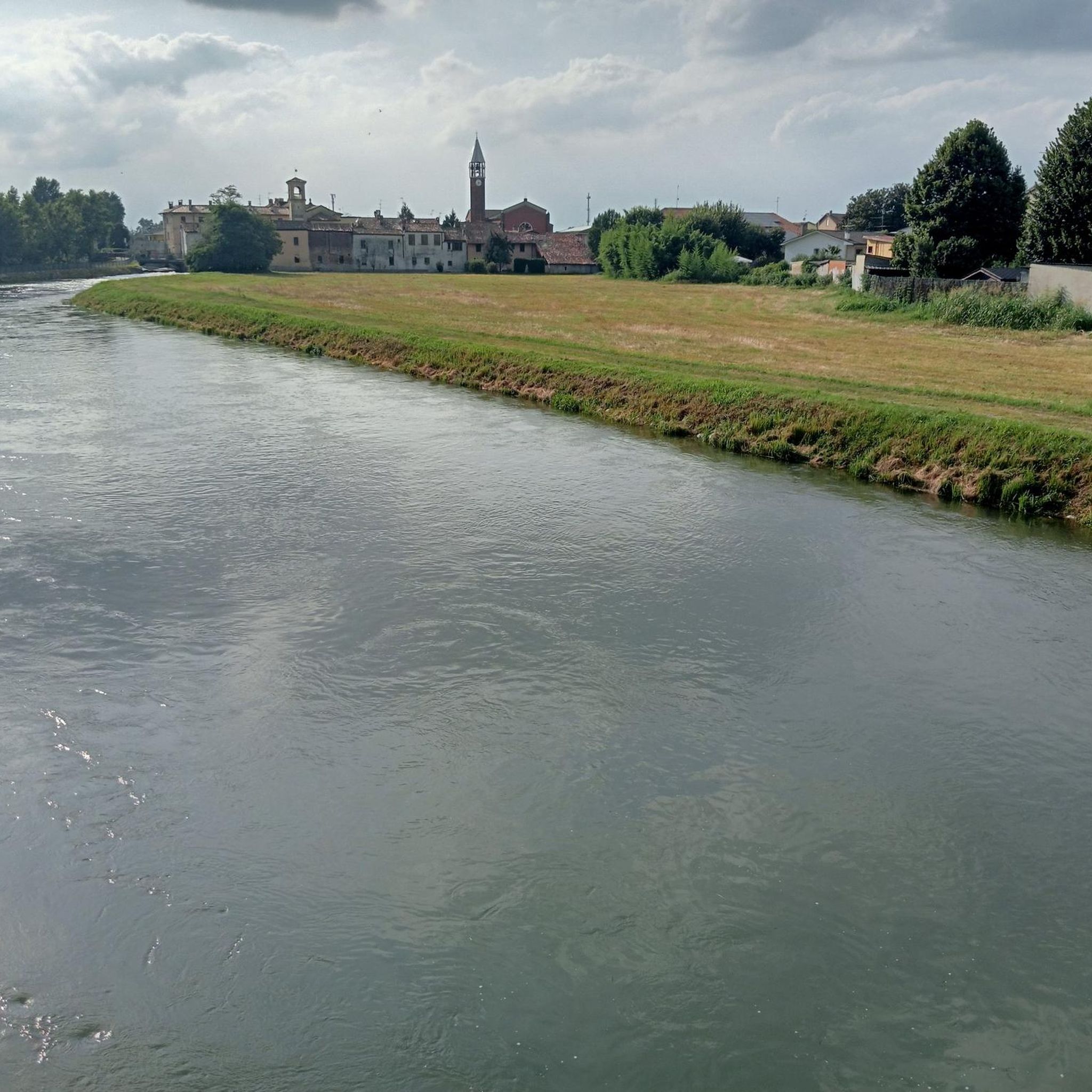
Canale Muzza is the oldest diversion of the Adda River. Its origin dates back to Roman times and in the 13th century (1220 - 1230) the current route was created, about 60 km long, which "fishes" the waters of the Adda at Cassano, crosses the Lodi territory for about 39 km up to Castiglione and here reintroduces them into the Adda. Currently, the waters of the Canale Muzza are mainly used for: • agricultural irrigation; • cooling of the thermoelectric power plants of Cassano and Montanaso - Tavazzano; • powering 4 small hydroelectric power plants; • water supply for fish farming.
0
0

Quiet, well-trodden road stays cool even on hot mornings
0
0


A series of fun trails of varying difficulty start from Miradolo: guaranteed fun!
1
0

Cycling along the Muzza is beautiful and relaxing, you find this point which is excellent for taking a break.
2
0

beautiful dirt road that runs along the Muzza canal. All practicable from Cassano to Castiglione
1
0
Frequently Asked Questions
How many hiking trails are available around Sant'Angelo Lodigiano?
There are over 100 hiking trails around Sant'Angelo Lodigiano. You'll find a diverse range, including 50 easy routes, 65 moderate paths, and a few more challenging options, catering to various skill levels.
What kind of landscape can I expect while hiking in Sant'Angelo Lodigiano?
The landscape around Sant'Angelo Lodigiano is characterized by the Adda River and agricultural plains within the Lombardy region. You'll find serene riverine environments and flatlands, particularly within dedicated natural areas like Parco Adda Sud and Parco Ittico Paradiso, offering a mix of paved and unpaved paths.
Are there any family-friendly hiking options in Sant'Angelo Lodigiano?
Yes, many of the trails are suitable for families. The region offers numerous easy strolls, especially within areas like Parco Adda Sud, which has varied itineraries. Chapel of Madonna of the Mountains – Pond of San Colombano Park loop from San Colombano al Lambro is an easy 3.9-mile (6.2 km) route that explores local parkland and natural features, perfect for a family outing.
Can I bring my dog on the hiking trails in Sant'Angelo Lodigiano?
Yes, dogs are generally welcome on a leash in many areas. Specifically, Parco Ittico Paradiso, a 13-hectare natural oasis, allows dogs on a leash, making it a great option for walks with your canine companion.
Are there any circular routes for hiking in the area?
Yes, circular routes are popular in Sant'Angelo Lodigiano. For example, the Madonna del Latte Chapel loop from Miradolo Terme is a moderate 5.6-mile (9.0 km) path offering a mix of countryside and local points of interest. Another option is the Colli Banini – Chapel of Madonna of the Mountains loop from San Colombano al Lambro, a 5.9-mile (9.4 km) trail through varied terrain.
What are some notable attractions or landmarks I can see while hiking?
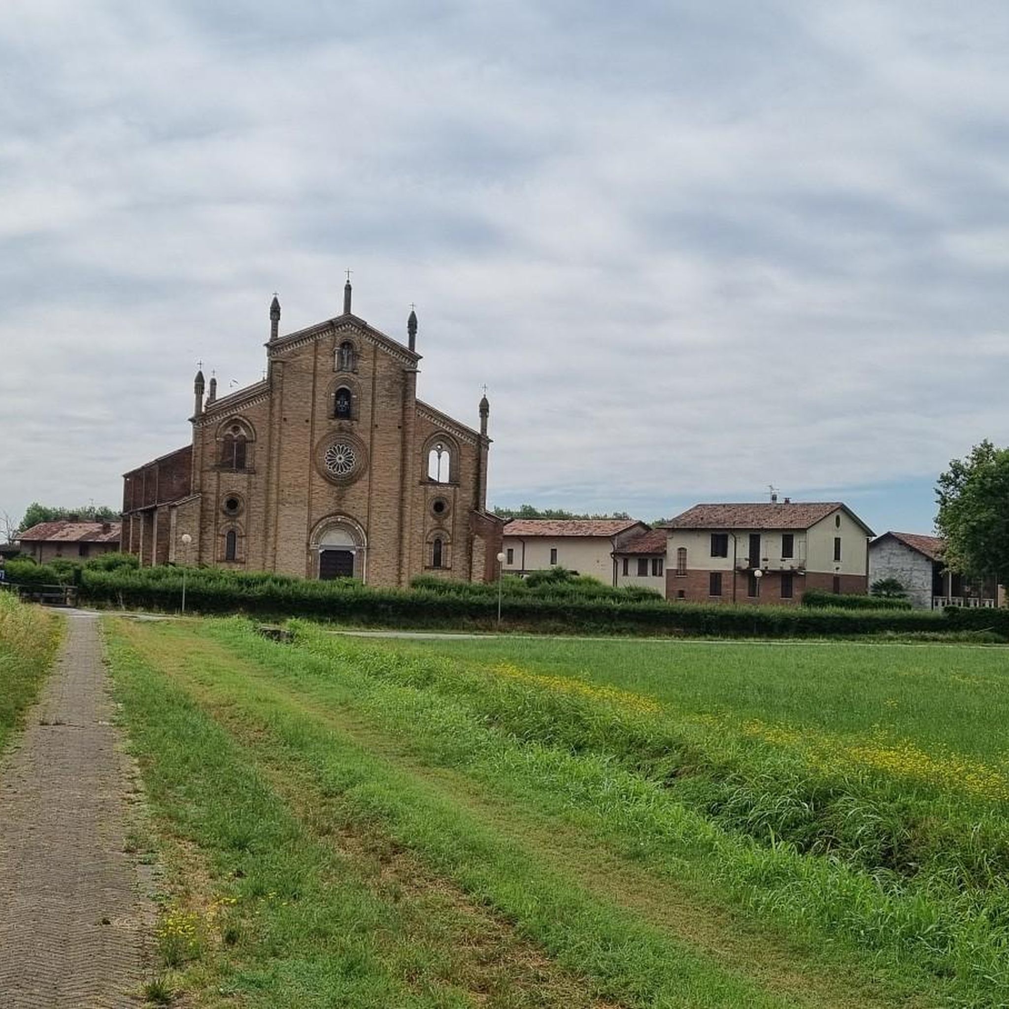
The region offers several points of interest. You can explore historical sites along the Adda River, or visit specific attractions like Bolognini Castle of Sant'Angelo Lodigiano. Other nearby castles include San Colombano Castle and Chignolo Po Castle. For nature lovers, Parco Ittico Paradiso features underwater observatories to view freshwater fish and an educational farm.
What do other hikers enjoy most about hiking in Sant'Angelo Lodigiano?
The area is highly rated by the komoot community, with an average score of 4.0 stars from over 170 reviews. Hikers often praise the tranquil setting of the riverine and agricultural paths, the accessibility of the trails, and the diverse options available within parks like Parco Adda Sud.
Are there any specific parks or natural areas recommended for hiking?
Absolutely. Parco Adda Sud is a primary draw, offering a network of paths along the Adda River with varied itineraries for different difficulty levels. Another significant attraction is Parco Ittico Paradiso, a natural oasis with dense forests, spring-fed channels, and diverse wildlife, including a unique 'river walk with fish'. For more information on Parco Ittico Paradiso, you can visit Visititaly.eu.
What is the best season for hiking in Sant'Angelo Lodigiano?
While the region offers year-round opportunities, spring and autumn are generally ideal for hiking in Sant'Angelo Lodigiano. The weather is milder, and the natural scenery, whether blooming or displaying autumn colors, enhances the experience along the river and through the agricultural fields.
Are there options for longer, more challenging hikes?
While the terrain is generally not mountainous, there are options for longer, moderate routes. For instance, the Madonna del Latte Chapel – Miradolo Trails loop from Graffignana is a moderate 8.9-mile (14.3 km) route, offering a more extended exploration of the area's countryside and trails.
Is parking available near the trailheads?
Yes, parking is generally available near popular trailheads and access points for the regional parks and natural areas around Sant'Angelo Lodigiano. Specific parking details can often be found on individual route descriptions or local park information.
Most popular routes around Sant'Angelo Lodigiano
Most popular attractions around Sant'Angelo Lodigiano

Get inspired with the komoot mobile app


Explore more
Browse the best Hikes in other regions.
