The best gravel rides around Sant'Angelo Lodigiano
4.3
(120)
1,191
riders
74
rides
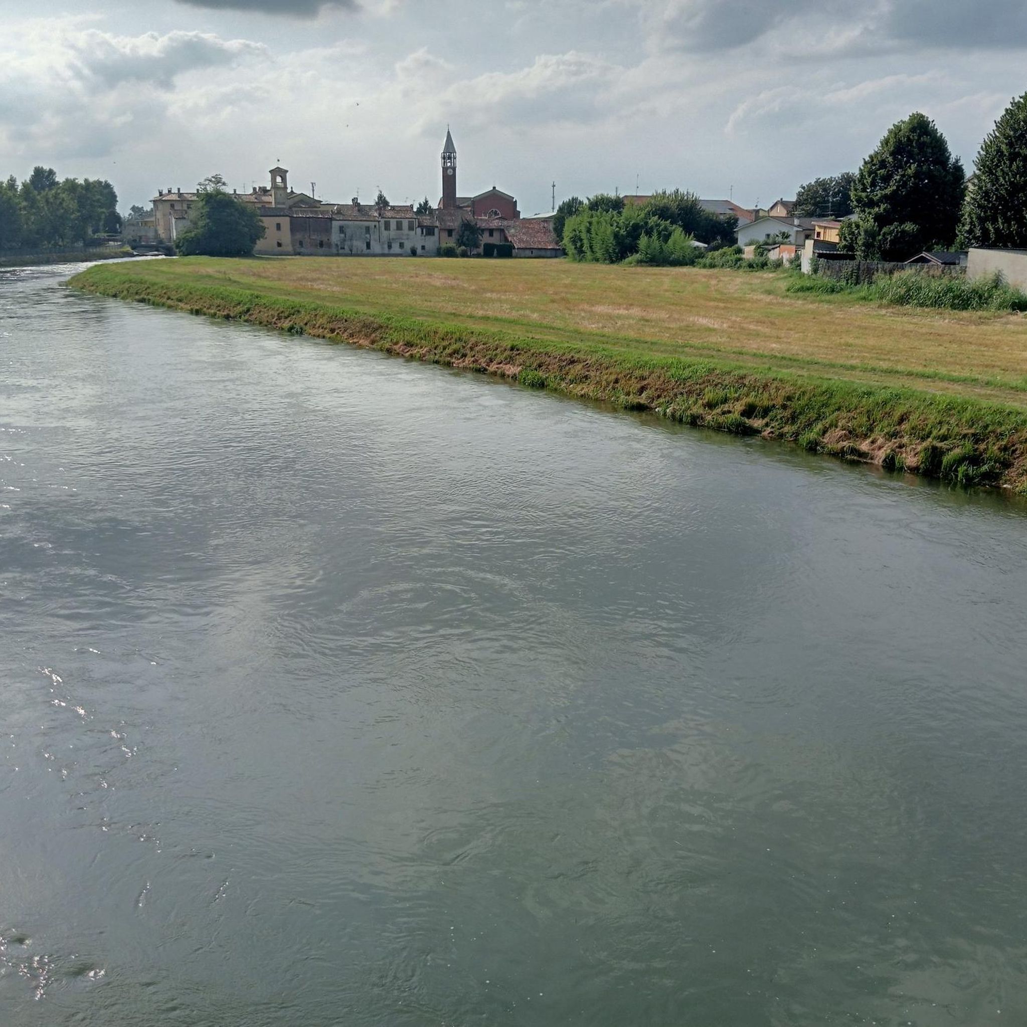
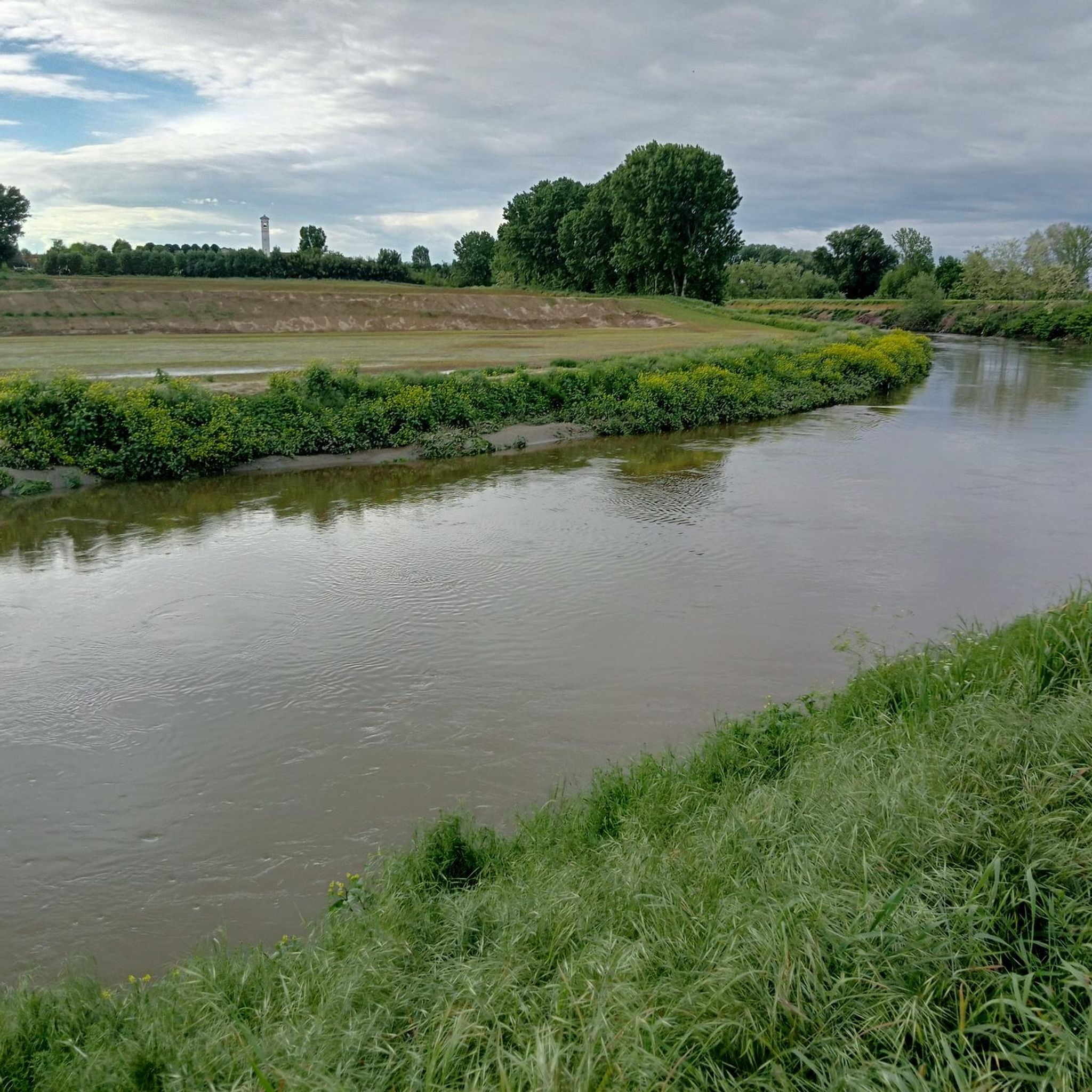
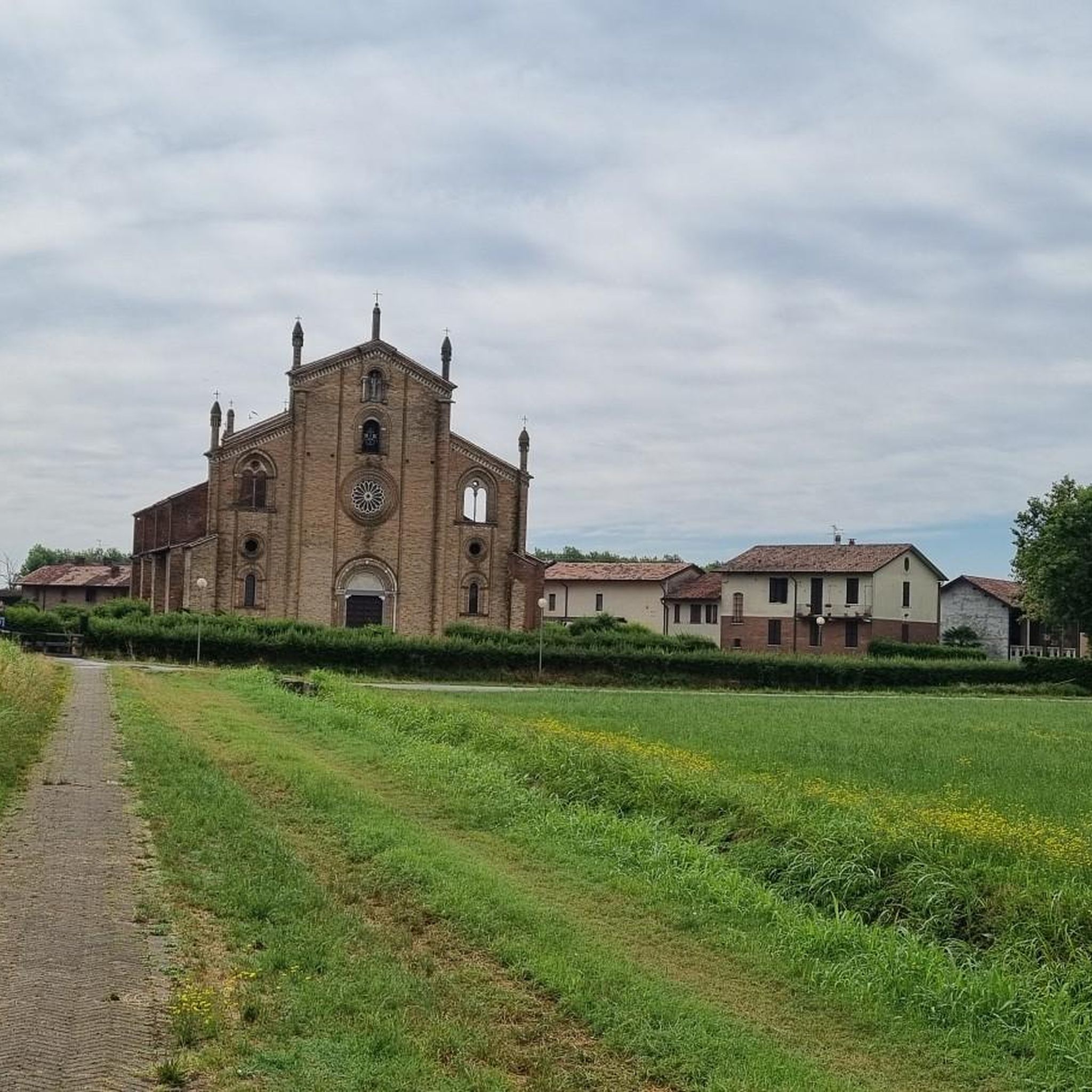
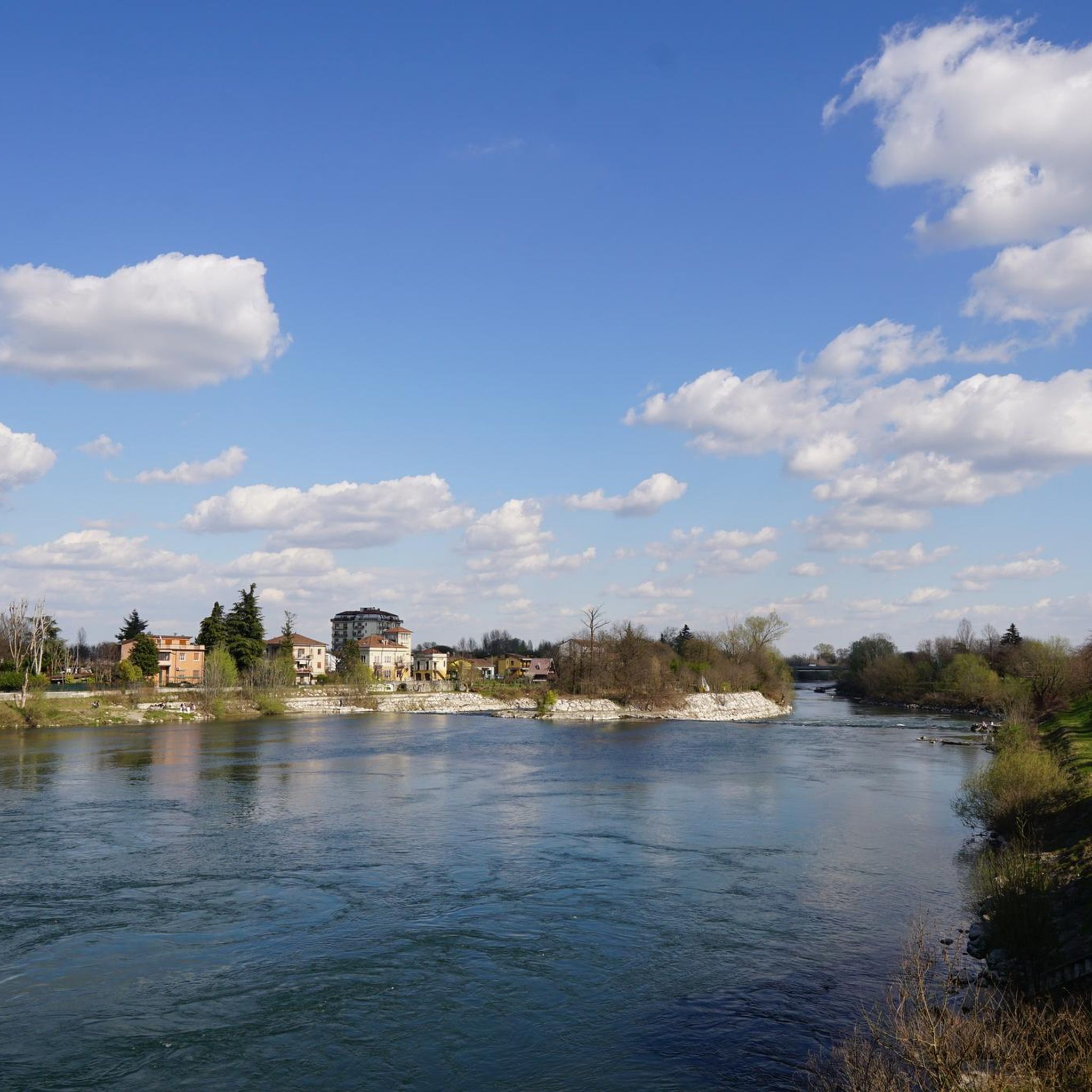
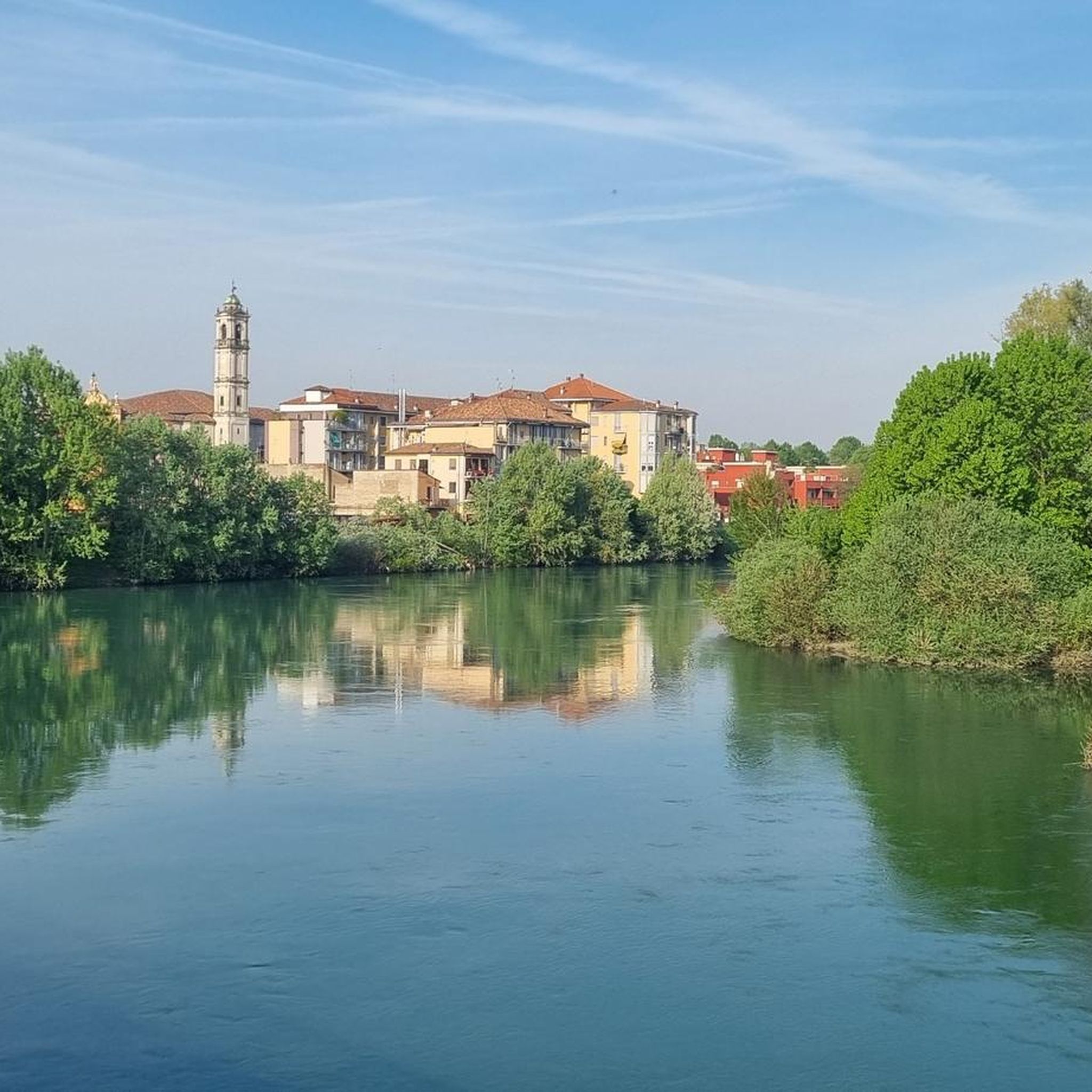
Gravel biking around Sant'Angelo Lodigiano offers routes through the flat plains and riverine landscapes of the Lombardy region, characterized by the Po and Adda rivers. The terrain primarily consists of agricultural areas, riverside paths, and occasional wooded sections, providing varied surfaces for gravel cyclists. While generally low in elevation, some routes include gentle ascents through local hills and parklands. The area is suitable for exploring a network of unpaved roads and tracks connecting small towns and natural areas.
Best gravel bike trails around Sant'Angelo Lodigiano
- The most popular gravel bike trail is Miradolo Trails – Ascent of the Forest loop from Miradolo Terme, a 28.4 miles (45.7 km) trail that takes 3 hours 53 minutes to complete. This route features forest sections and some climbing.
- Another top favourite among local gravel bikers is Sillari Park – Chignolo Po Castle loop from Miradolo Terme, a difficult 38.9 miles (62.7 km) path. This route explores parklands and passes by historical sites.
- Local gravel bikers also love the Argine Po Valloria – Po Bridge of Piacenza loop from Miradolo Terme, a 62.5 miles (100.6 km) trail leading through riverside embankments and agricultural fields, often completed in about 6 hours 59 minutes.
- Gravel biking around Sant'Angelo Lodigiano is defined by river paths, agricultural tracks, and local parklands. The network offers options for different ability levels, from moderate to more challenging routes.
- The routes in Sant'Angelo Lodigiano are highly rated by the komoot community with an average score of 4.2 stars from over 100 reviews. More than 1000 gravel bikers have used komoot to explore Sant'Angelo Lodigiano's varied terrain.
Last updated: August 31, 2026
4.6
(22)
172
riders
Moderate gravel ride. Good fitness required. Mostly paved surfaces. Suitable for all skill levels.
4.3
(8)
122
riders
Hard gravel ride. Very good fitness required. You may need to push your bike for some segments of this route.

Sign up for free
4.6
(5)
50
riders
46.1km
03:21
550m
550m
Hard gravel ride. Very good fitness required. Mostly paved surfaces. Suitable for all skill levels.
4.7
(6)
38
riders
100km
06:05
330m
330m
Hard gravel ride. Very good fitness required. You may need to push your bike for some segments of this route.
4.0
(3)
31
riders
63.1km
03:46
230m
230m
Hard gravel ride. Good fitness required. You may need to push your bike for some segments of this route.
Get access to more routes and recommendations from other explorers.
Sign up for free
Already have an account?
Our route recommendations are based on thousands of hikes, rides, and runs completed by other people on komoot.
Start today with a free account
Your next adventure awaits.
Login or Signup
Tips from the Community

The Canale della Muzza is an important hydraulic work from the 12th-13th century that branches off the Adda river in Cassano d'Adda and extends for about 39 km to Castiglione d'Adda. It is one of the oldest and largest irrigation canals in Europe, fundamental for Lodi's agriculture, now also flanked by cycle paths.
1
0

The Castello di San Colombano (or Castello Belgioioso) stands in the medieval village famous for its vineyards and for being an exclave in the province of Milan. Dating back to the 6th century and rebuilt by Barbarossa in 1164, it is divided between a private area (the keep) and a communal one (the fortified village).
0
0
The Ramp on Via Collada in San Colombano al Lambro (MI) is a climb of about 700-1160 meters that starts right by the castle walls. It is known for its challenging average gradient of ~17% and peaks exceeding 20%] Length: Approximately 1.16 km (with a steep initial section of ~ 500 meters). Elevation gain: ~ 199 meters. Average gradient: 17.12%. Maximum gradient: Very steep, suitable for intense training (MTB/road bike climb category).
0
0

Any trail that winds through its vicinity is wonderful, a shame about the interruption between Zelo and Galgagnano of the path due to the hunting area, incidentally a beautiful place part of the ADDA sud Park but inexplicably in the hands of one or more private individuals who have made it their "hunting park" by fencing it all in. I happened to get inside by mistake, finding one of the numerous open gates and could no longer get out, finding the others closed, receiving a couple of shots in the air behind my back to make me understand that I was not welcome! A real shame because it interrupts the descent from Zelo towards Lodi along the Adda. Beyond the "hunting park" I believe that the passage along the river (state-owned area!!) SHOULD always be guaranteed without any ifs or buts!
1
0
The Ciaparat Chapel is a landmark mainly known on road cycling routes around Sant'Angelo Lodigiano and the Parco Agricolo Sud Milano, often included in loop itineraries between Bascapè, Locate Triulzi, and Vistarino. It is a popular area for moderate road bike training, with asphalted roads.
0
0

The path is easy to ride with a simple bike. The paths are exemplary!
0
0
The Muzza Canal is the oldest in Europe and just this year, its 800th anniversary was celebrated by the Municipality of Paullo in collaboration with the Pro Loco and other Municipalities. Its origin dates back to the year 1220, when Frederick II of Swabia, crowned emperor of the Holy Roman Empire, issued an imperial edict that granted the people of Lodi the right to use the waters flowing within their territory. The current route, about 60 km long, receives the waters of the Adda River at Cassano d’Adda, at an altitude of 120 m above sea level, crosses the Lodi territory for about 40 km until near Castiglione d’Adda, at an altitude of 45 m above sea level, and here it releases them back into the Adda River. It has a regulated water regime, with a flow rate, depending on the season, of about 200 thousand liters of water per second; an initial width of 50 meters which reduces to a few meters at the end of its course and an average depth of 2 meters.
1
0

very fast and fun gravel section
1
0
Frequently Asked Questions
What is the general terrain like for gravel biking around Sant'Angelo Lodigiano?
The terrain around Sant'Angelo Lodigiano is primarily characterized by flat plains, agricultural areas, and riverside paths along the Po and Adda rivers. You'll encounter varied surfaces, including unpaved roads and tracks, with occasional wooded sections and gentle ascents through local parklands and hills.
How many gravel bike trails are available in the Sant'Angelo Lodigiano area?
There are over 100 gravel bike trails to explore around Sant'Angelo Lodigiano, offering a wide range of options for different skill levels and preferences.
Are there any beginner-friendly gravel bike routes near Sant'Angelo Lodigiano?
Yes, while many routes are moderate to difficult, there are several easier options. For a moderate ride that's less demanding, consider the Bridge over the Adda in Lodi – View of Lanca della Cascinetta loop from Motta Vigana, which covers about 53 km with gentle elevation changes.
What kind of historical sites or landmarks can I see along the gravel bike trails?
Many routes pass by significant historical sites. For example, the Sillari Park – Chignolo Po Castle loop from Miradolo Terme explores parklands and passes by the impressive Chignolo Po Castle. Other notable castles in the wider area include San Colombano Castle and the Bolognini Castle of Sant'Angelo Lodigiano.
Are there any long-distance gravel routes for experienced riders?
Absolutely. For experienced riders looking for a challenge, the Gothic Palace (Piacenza) – Chignolo Po Castle loop from Miradolo Terme is a difficult 146 km route with notable elevation gain, offering a full day's adventure.
What do other gravel bikers enjoy most about the trails in Sant'Angelo Lodigiano?
The komoot community highly rates the gravel biking in Sant'Angelo Lodigiano, with an average score of 4.2 stars. Reviewers often praise the varied terrain, from quiet riverside paths to agricultural tracks, and the opportunity to explore charming small towns and historical sites.
Are there any circular gravel routes available?
Yes, many of the gravel routes in the area are designed as loops. For instance, the popular Miradolo Trails – Ascent of the Forest loop from Miradolo Terme offers a circular experience through forest sections and some climbing.
What is the best time of year for gravel biking in Sant'Angelo Lodigiano?
Spring and autumn generally offer the most pleasant conditions for gravel biking in Sant'Angelo Lodigiano, with milder temperatures and less chance of extreme heat or cold. Summer can be hot, while winter might bring colder, potentially wetter conditions, though routes remain accessible.
Are there any routes that offer views of the Po or Adda rivers?
Many routes in the region follow the river embankments. The Argine Po Valloria – Po Bridge of Piacenza loop from Miradolo Terme is a prime example, leading you directly along the Po river and through agricultural fields, offering extensive riverside views.
What are the typical elevation changes on gravel bike trails in this region?
While the region is generally flat, some routes include gentle ascents. For example, the Miradolo Trails – Ascent of the Forest loop from Miradolo Terme features over 550 meters of elevation gain, providing a good workout amidst the otherwise low-lying landscape.
Can I find routes that pass through natural parks or wooded areas?
Yes, several routes incorporate natural parklands and wooded sections. The Miradolo Trails – Ascent of the Forest loop from Miradolo Terme is known for its forest sections, offering a change of scenery from the open agricultural fields.
Most popular routes around Sant'Angelo Lodigiano
Most popular attractions around Sant'Angelo Lodigiano

Get inspired with the komoot mobile app


Explore more
Browse the best Gravel rides in other regions.
