The best road cycling routes around Entracque
4.5
(223)
8,961
riders
39
rides
Road cycling routes around Entracque traverse the diverse landscapes of Italy's Maritime Alps Regional Park. The region features sunny valleys and mountains formed from both limestone and granite, with peaks like Argentera Mountain. It is characterized by river valleys, such as those of the Gesso and Busset rivers, and includes features like the Valasco Plateau and alpine lakes. This varied topography offers a range of road cycling experiences.
Best road cycling routes around Entracque
- The most popular road cycling route…
Last updated: July 1, 2026
4.6
(30)
1,923
riders
121km
06:36
2,420m
2,420m
Hard road ride. Very good fitness required. Mostly well-paved surfaces and easy to ride.
4.7
(23)
515
riders
57.4km
03:13
1,080m
1,080m
Hard road ride. Very good fitness required. Mostly well-paved surfaces and easy to ride.

Sign up for free
3.8
(4)
89
riders
42.6km
02:16
800m
800m
Moderate road ride. Good fitness required. Mostly well-paved surfaces and easy to ride.
4.6
(5)
181
riders
32.4km
01:32
350m
350m
Moderate road ride. Good fitness required. Mostly well-paved surfaces and easy to ride.
4.0
(1)
64
riders
36.2km
02:21
1,030m
1,030m
Hard road ride. Very good fitness required. Some segments of this route may be unpaved and difficult to ride.
Get access to more routes and recommendations from other explorers.
Sign up for free
Already have an account?
Our route recommendations are based on thousands of hikes, rides, and runs completed by other people on komoot.
Start today with a free account
Your next adventure awaits.
Login or Signup
Popular around Entracque

GTA South Piedmont — Hiking in Italy's Occitan valleys
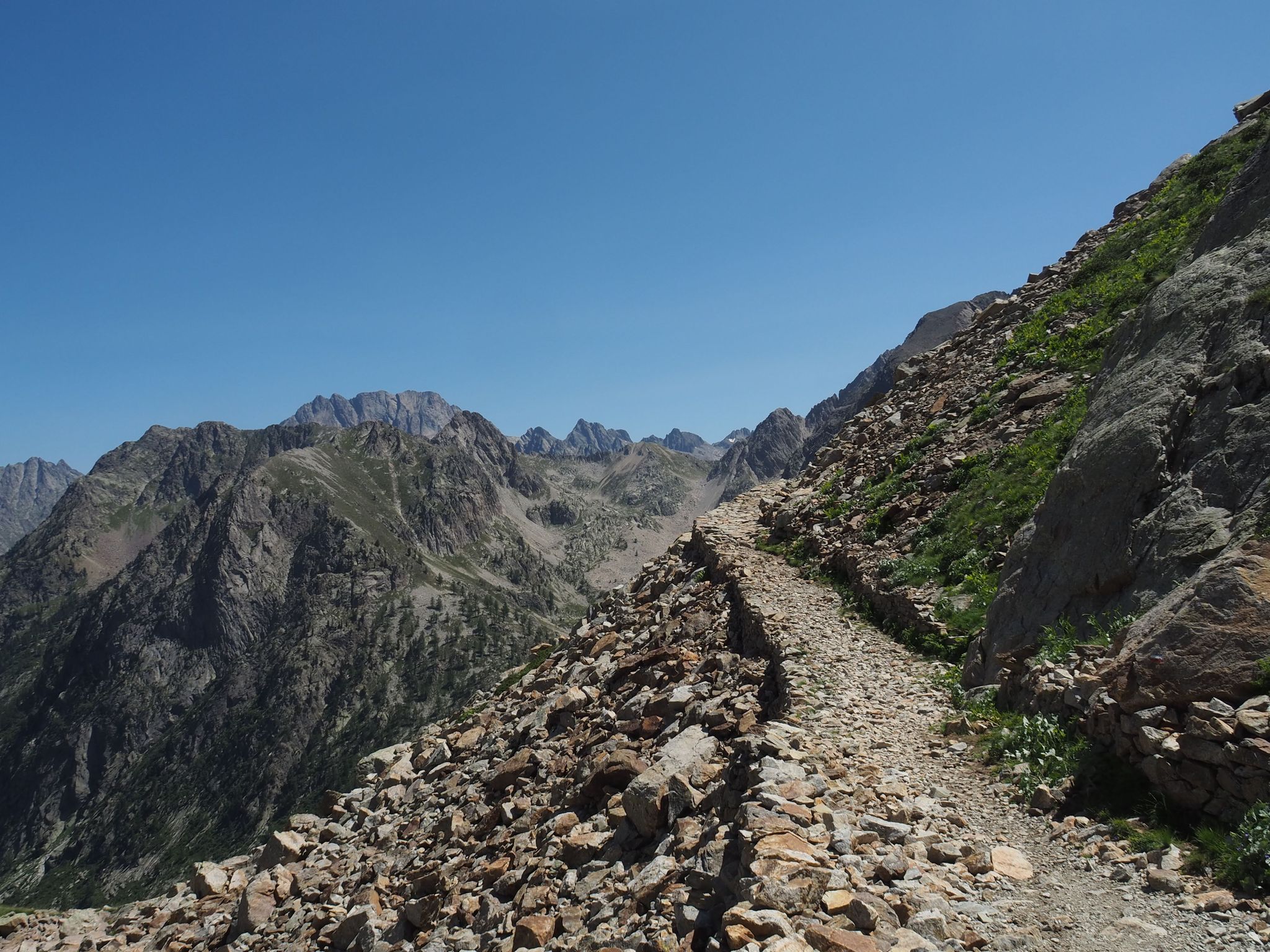
Alta Via dei Re – a fairytale crossing in Italy's Maritime Alps
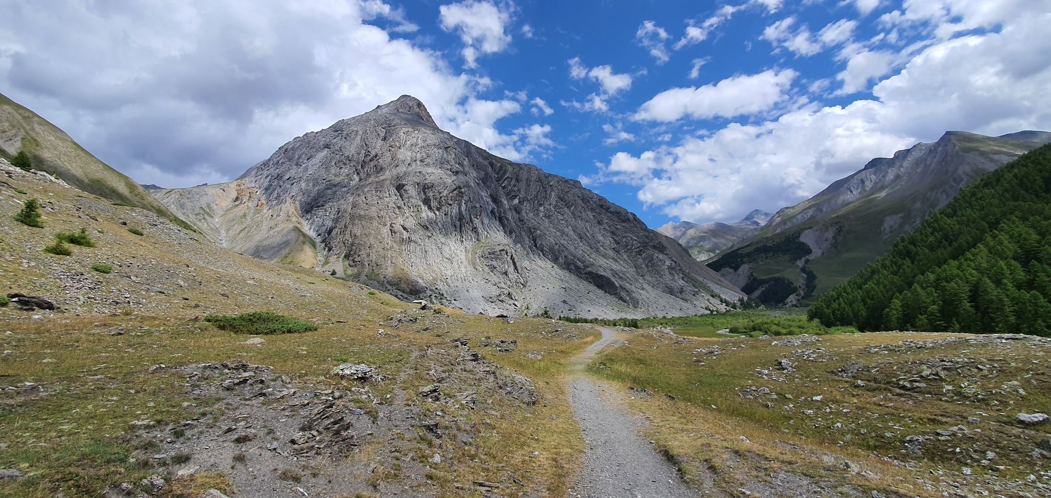
Western trans-alpine crossing – pure adventure on your mountain bike
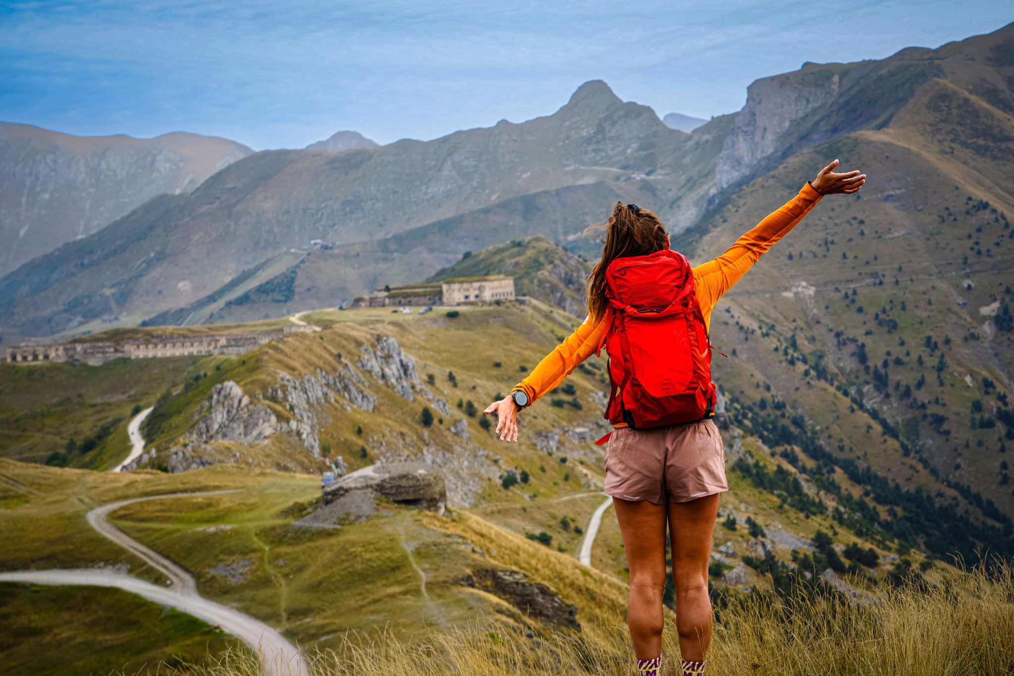
RivierALP – great hikes between the Alps and the Mediterranean
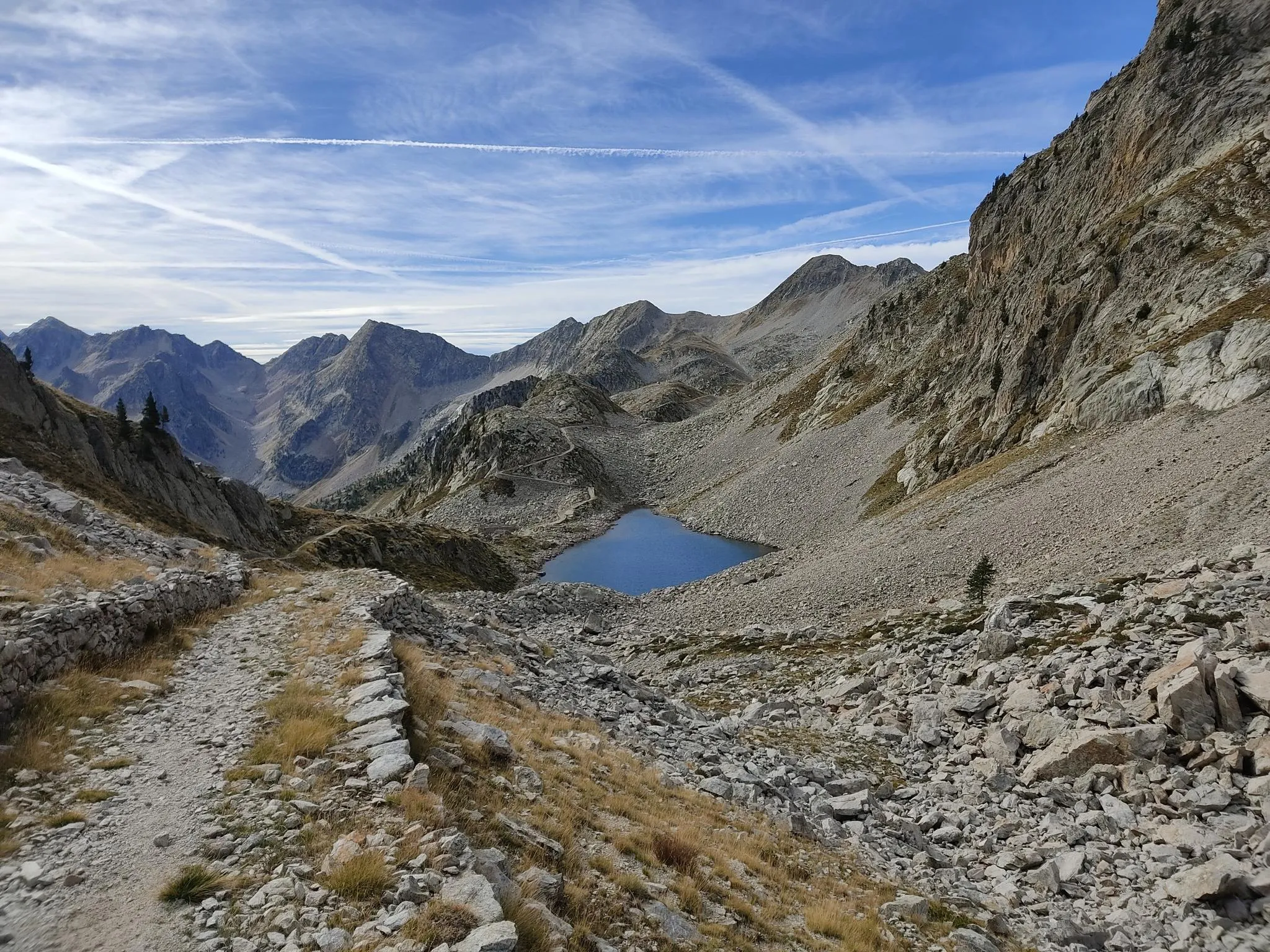
Through the crystalline Argentera massif – Italy’s Alta Via dei Re
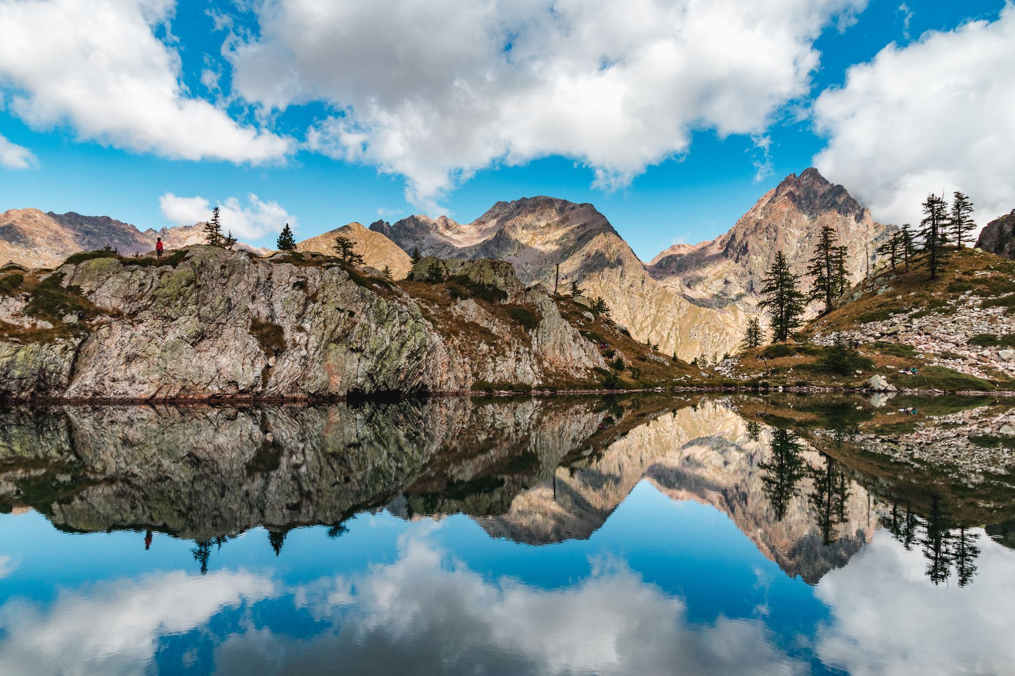
Exploring 11 lakes — 5 hikes in Italy’s Alpi Marittime Nature Park
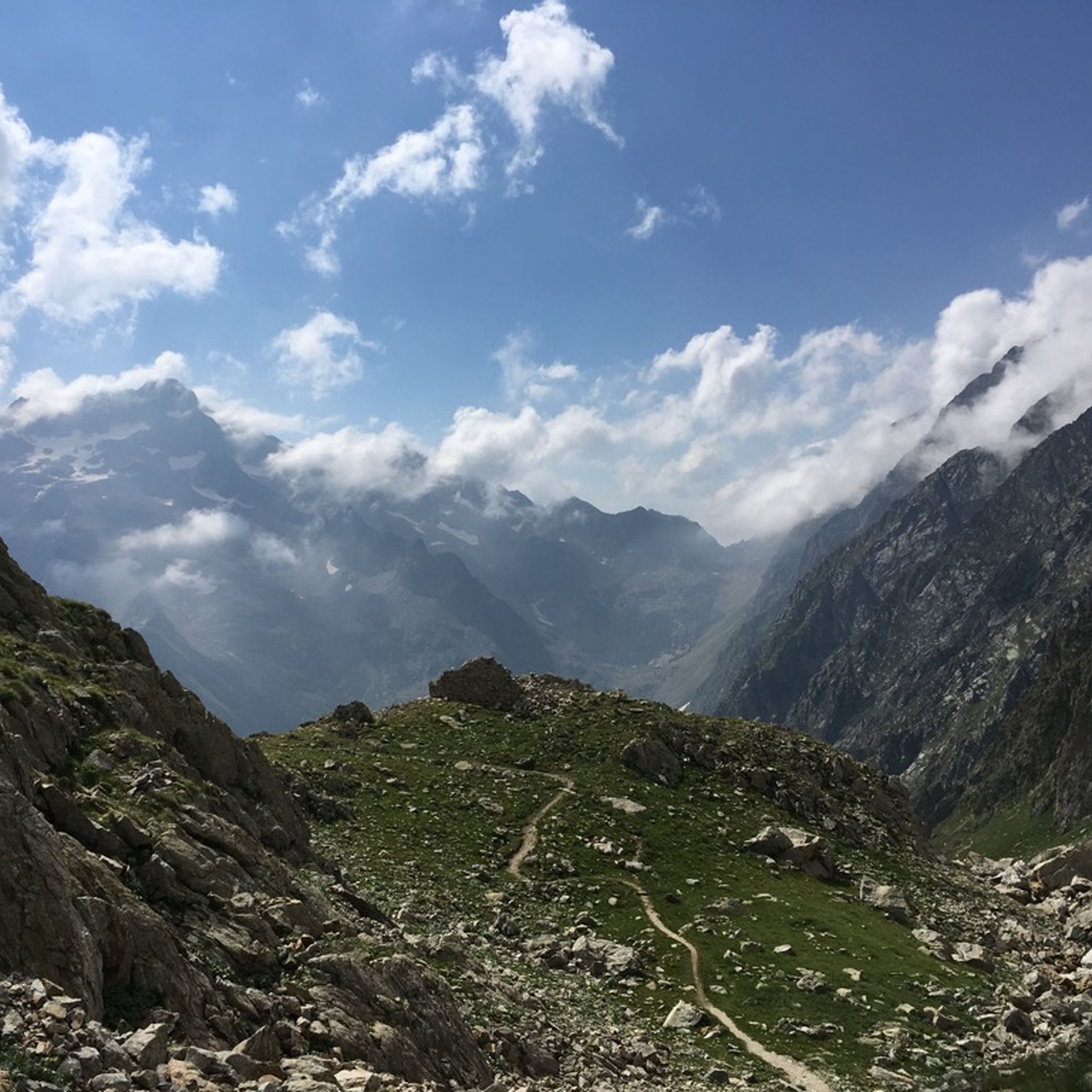
Hiking around Entracque
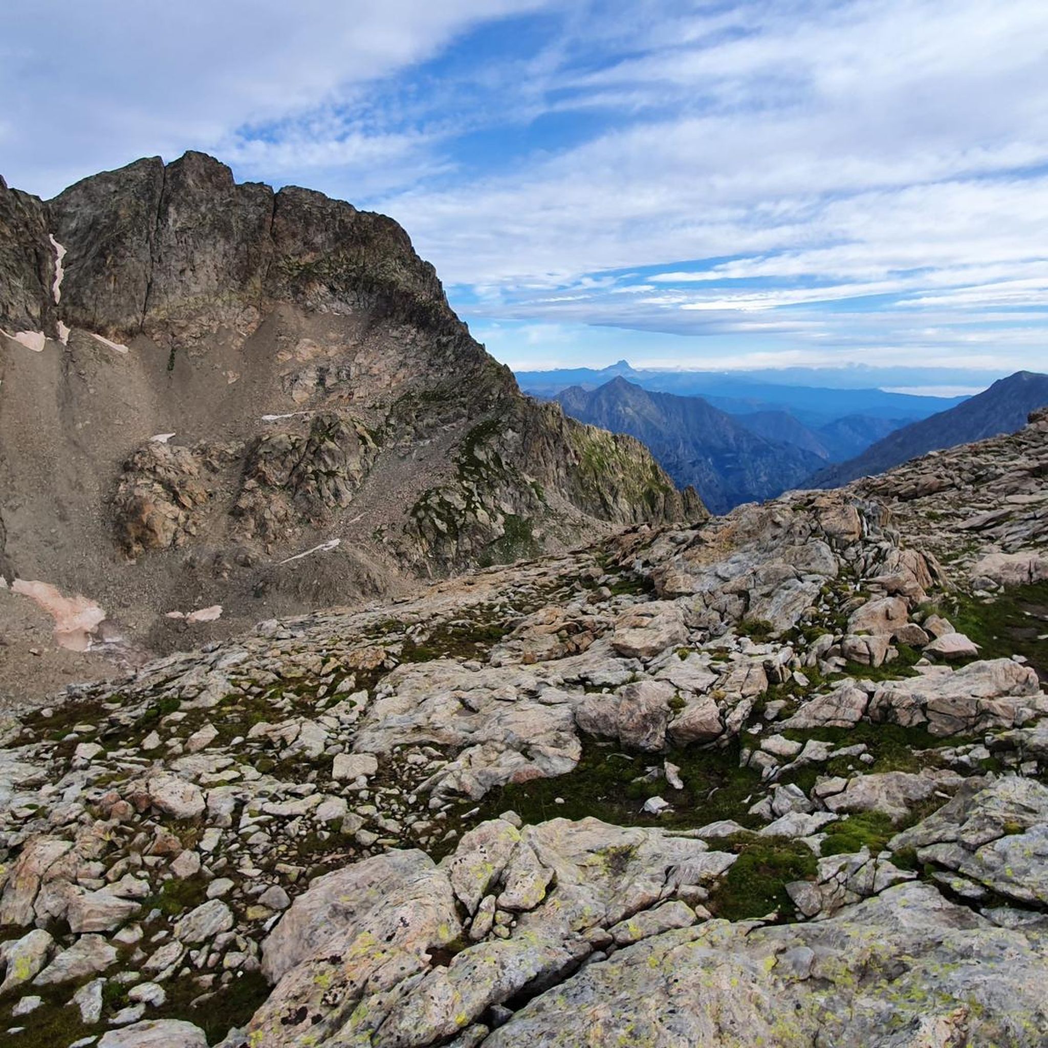
MTB Trails around Entracque
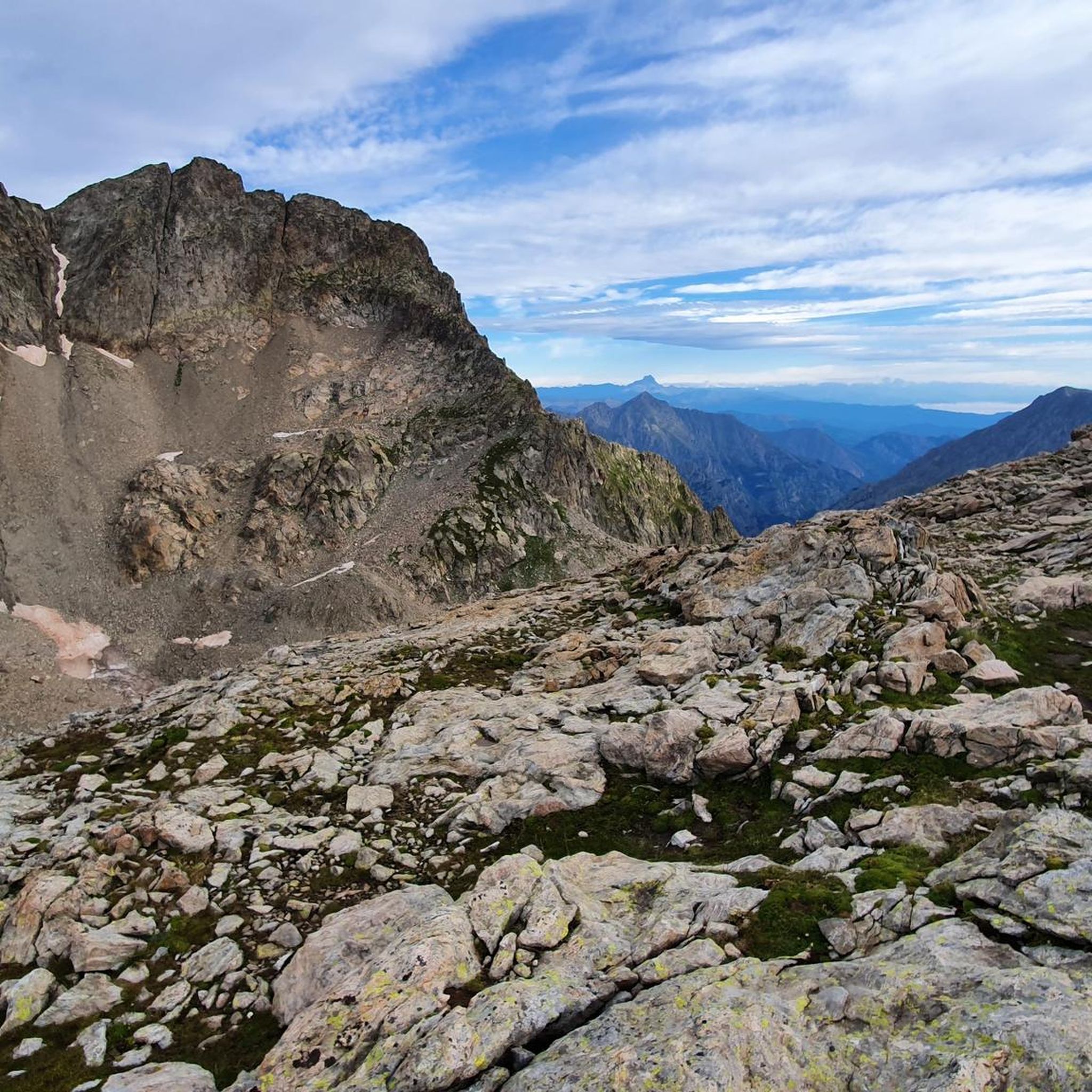
Cycling around Entracque
Running Trails around Entracque
Other adventures around Entracque


Tips from the Community

Source of fresh drinking water (as the name suggests, "Fontana Fredda" in Italian), next to the provincial road 333, right at the beginning just after leaving Campomolino. Interesting, and useful. For those who don't trust the potability too much, in the village of Campomolino there is a more "modern" fountain - but I suspect it relies on the same source...
0
0
Secondary pass between Valle Grana and Valle Maira. Reachable from the Esischie-Fauniera road, from the Val Maira side it is reached only by a path. You can enjoy a beautiful view of the mountains of Val Maira on one side, and of the summit basin of Val Grana on the other.
0
0
Stone bridge at the beginning of one of the trails in the splendid trail network of this area of Val Maira. It stands out against the backdrop of the mountain behind, and offers a beautiful view.
0
0
Beautiful hamlet, small but interesting: many well-restored houses, a beautiful little church with a pronaos and frescoed facade, the Casa Narbona museum, the modern Town Hall building (Castelmagno is a scattered municipality), and two water points, one of which on the Provinciale, just outside the inhabited area, is an ancient fountain. Nice place for a stop on the way up to the Sanctuary.
0
0
Impressive passage in a gorge carved between the rocks, which leaves you speechless. It seems to be from a surrealist tale. Upstream and downstream, dreamlike panoramas open up.
0
0
View of the sanctuary of Castelmagno with the low valley in the background.
0
0

final straight before the finish line.
0
0
wonderful Gesso Valley!
0
0
Frequently Asked Questions
How many road cycling routes are available around Entracque?
Entracque offers a wide selection of road cycling routes, with over 40 different tours available. These routes cater to various skill levels, including easy, moderate, and difficult options.
What are the typical landscapes and natural features I'll encounter while road cycling in Entracque?
Road cycling in Entracque takes you through diverse landscapes within the Maritime Alps Regional Park. You'll experience sunny valleys, mountains formed from both limestone and granite (including the impressive Argentera Mountain), and river valleys like those of the Gesso and Busset rivers. Notable natural features include the Valasco Plateau and several alpine lakes such as Lago della Rovina and Lake della Piastra.
What is the best time of year for road cycling in Entracque?
The region's climate, described as a 'hinge between the Mediterranean and the Alps,' suggests pleasant conditions for road cycling during spring, summer, and early autumn. These seasons offer the most favorable weather for tackling both valley routes and mountain passes.
Are there routes suitable for beginners or less experienced road cyclists?
Yes, Entracque offers routes suitable for various fitness levels. While many routes involve significant elevation, there are 5 easy routes and 23 moderate routes available. For example, the MEMO4345 Museum – Gesso River loop from Entracque is a moderate 22.6-mile route that provides a scenic ride through the Gesso River valley.
What kind of challenging road cycling routes can I find in Entracque?
Entracque is known for its challenging terrain, with 14 difficult routes available. Cyclists can tackle routes with significant elevation gain, such as the 75.3-mile Campomolino – Sanctuary of Castelmagno loop from Entracque, which features over 2,400 meters of ascent. Another demanding option is the 35.6-mile Stura Valley – Monte Gelas loop from Entracque, offering challenging climbs and views of the Stura Valley.
Are there any circular road cycling routes in the Entracque area?
Yes, many of the road cycling routes around Entracque are designed as loops, allowing you to start and finish in the same location. Examples include the Campomolino – Sanctuary of Castelmagno loop, the Stura Valley – Monte Gelas loop, and the Lago della Rovina – Lake della Piastra loop.
What makes Entracque a notable destination for road cycling events?
Entracque's stunning and varied landscapes, combined with its historic roads, make it a prime location for cycling events. It has even hosted L'Étape Piemonte by Tour de France, bringing the spirit of the iconic race to Italy. The region's routes often traverse roads that have been part of the Giro d'Italia, offering cyclists a chance to experience legendary climbs.
What interesting landmarks or attractions can I see along road cycling routes in Entracque?
While cycling, you can explore various points of interest. The MEMO4345 Museum – Gesso River loop passes by the museum itself. You might also encounter historical structures like the Ruins of Castello Bolleris or Vernante Castle. Natural attractions include the scenic Riserva Naturale delle Grotte del Bandito and the impressive Luigi Einaudi hydroelectric plant.
Are there any specific considerations regarding road surfaces or terrain in Entracque?
The road cycling routes in Entracque primarily feature well-paved surfaces, especially those that have been part of major cycling events like the Giro d'Italia. However, some segments, particularly in more remote or higher alpine areas, may be unpaved and challenging, requiring good fitness and appropriate bike setup.
What do other road cyclists say about their experience in Entracque?
The road cycling routes around Entracque are highly rated by the komoot community, with an average score of 4.6 stars from over 200 reviews. More than 7,000 road cyclists have used komoot to explore the varied terrain, often praising the breathtaking views, challenging climbs, and the unique blend of Mediterranean and alpine landscapes.
Is parking available for road cyclists in Entracque?
Yes, Entracque serves as a common starting point for many routes, and parking facilities are generally available within or near the village. This allows cyclists to easily access the diverse network of roads leading into the Maritime Alps Regional Park.
Are there family-friendly road cycling options around Entracque?
While many routes in Entracque involve significant elevation, there are 5 easy routes that could be suitable for families looking for less strenuous road cycling. These routes typically stick to flatter valley sections, offering a more relaxed experience amidst the beautiful scenery.
Most popular routes around Entracque
Most popular attractions around Entracque

Get inspired with the komoot mobile app


Explore more
Browse the best Road cycling routes in other regions.
