The best road cycling routes around Argentera
4.7
(80)
3,271
riders
28
rides
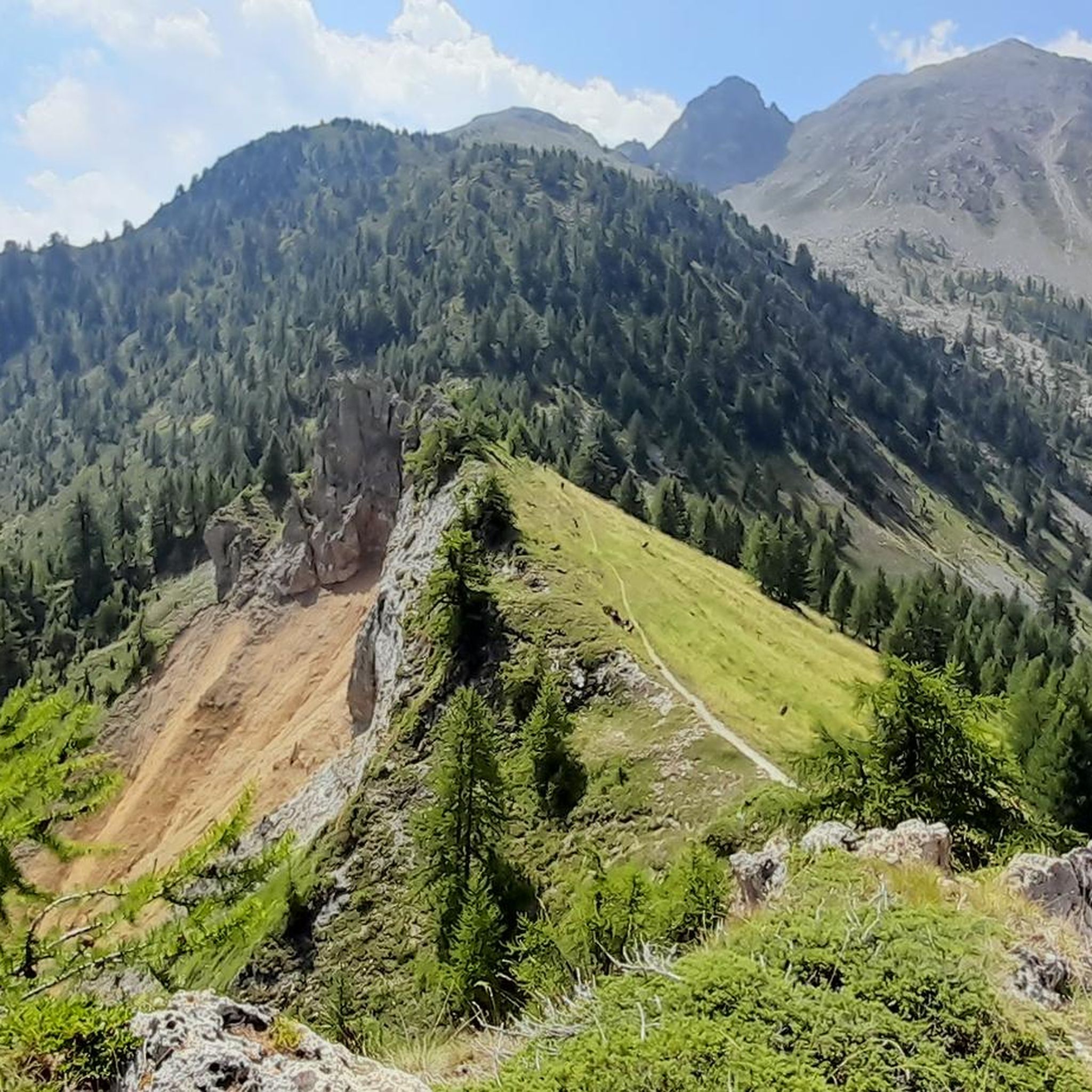
Road cycling around Argentera offers challenging terrain in Italy's Stura Valley, situated at an elevation of 1,650 meters. The region is characterized by an alpine environment with striking mountains, rolling meadows, and dense forests of fir and larch trees. Cyclists navigate demanding climbs and winding descents across quiet roads with excellent surfaces, connecting to international passes.
Best road cycling routes around Argentera
- The most popular road cycling route is Vinadio – Col de la Lombarde loop from Argentera, a…
Last updated: August 23, 2026
4.5
(4)
279
riders
174km
10:28
4,380m
4,380m
Hard road ride. Very good fitness required. Some segments of this route may be unpaved and difficult to ride.
5.0
(12)
669
riders
58.4km
03:48
1,810m
1,810m
Hard road ride. Very good fitness required. Mostly well-paved surfaces and easy to ride.

Sign up for free
4.0
(1)
62
riders
140km
08:43
3,930m
3,930m
Hard road ride. Very good fitness required. Some segments of this route may be unpaved and difficult to ride.
5.0
(2)
107
riders
111km
06:42
2,770m
2,770m
Hard road ride. Very good fitness required. Mostly well-paved surfaces and easy to ride.
5.0
(1)
143
riders
96.5km
04:59
1,560m
1,560m
Hard road ride. Very good fitness required. Mostly well-paved surfaces and easy to ride.
Get access to more routes and recommendations from other explorers.
Sign up for free
Already have an account?
Our route recommendations are based on thousands of hikes, rides, and runs completed by other people on komoot.
Start today with a free account
Your next adventure awaits.
Login or Signup
Popular around Argentera

Seven MTB routes in the Southern Alps – nature, passes and valleys
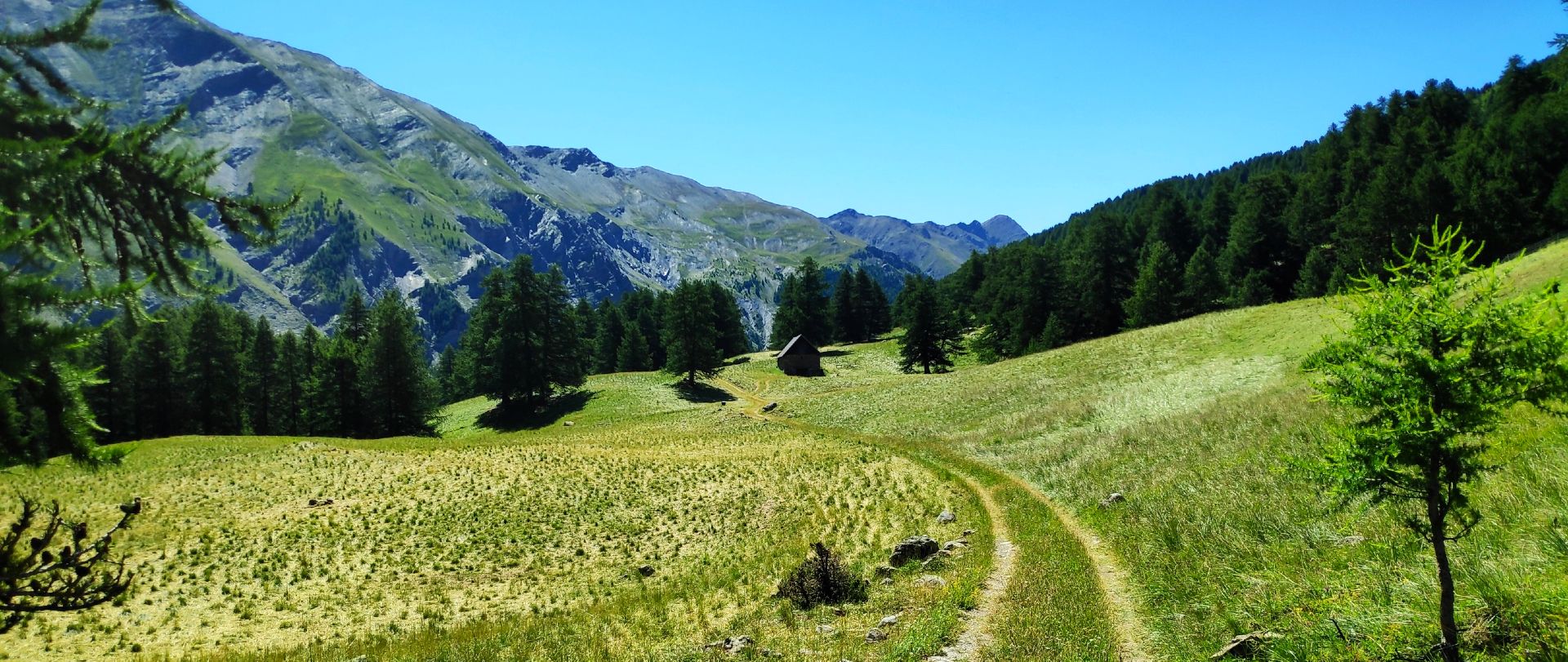
MTB Tour of the Ubaye Valley – La Transubayenne

MigrAction – Generations in Motion
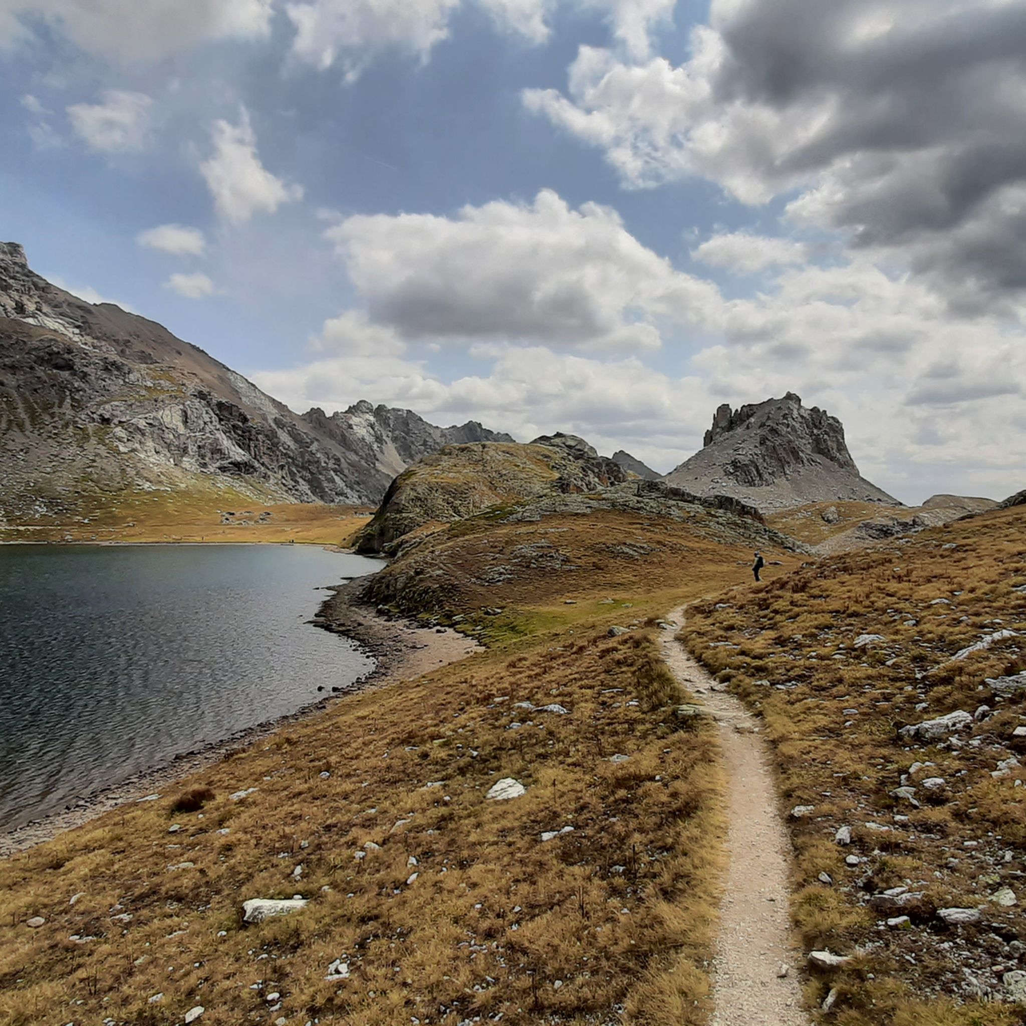
Hiking around Argentera
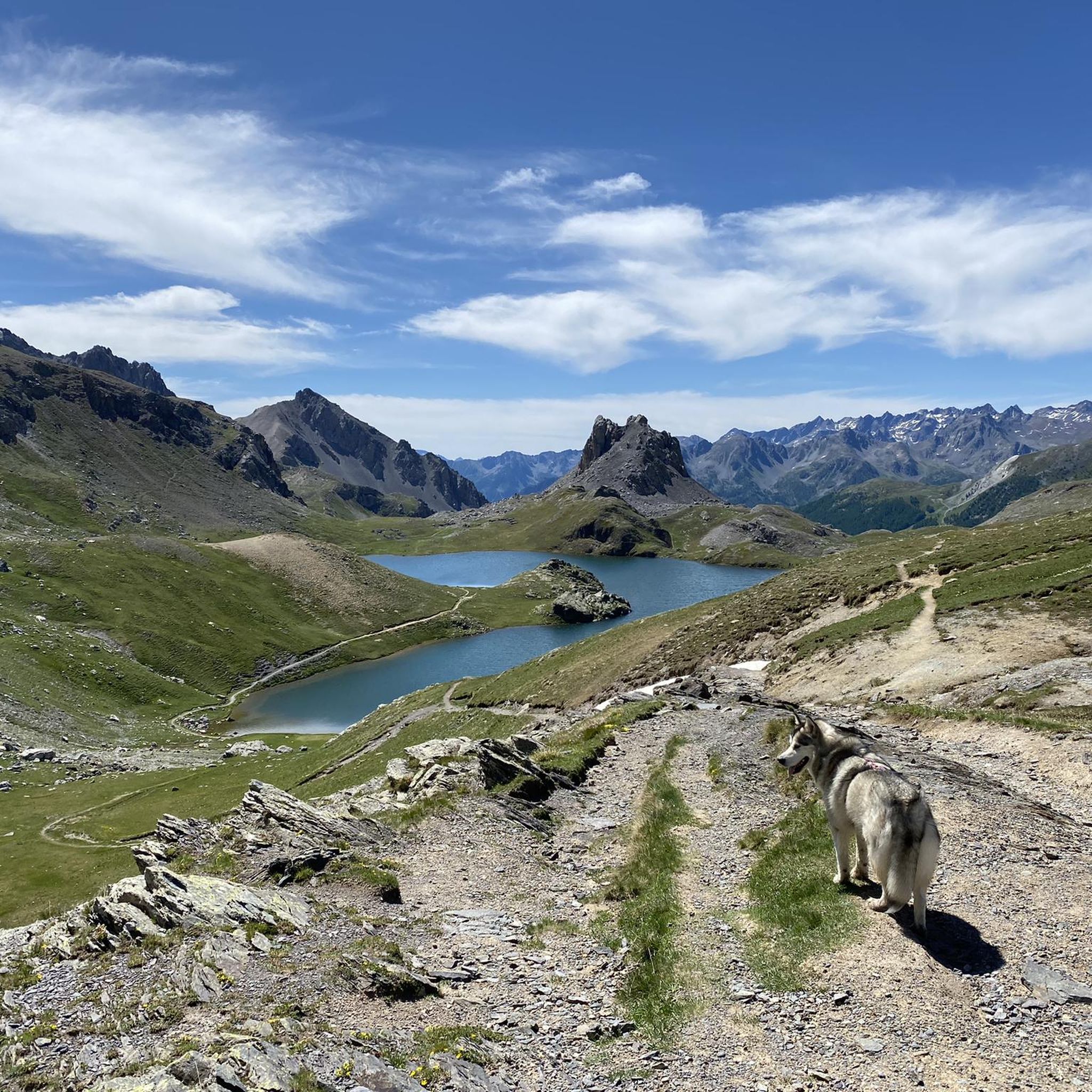
MTB Trails around Argentera
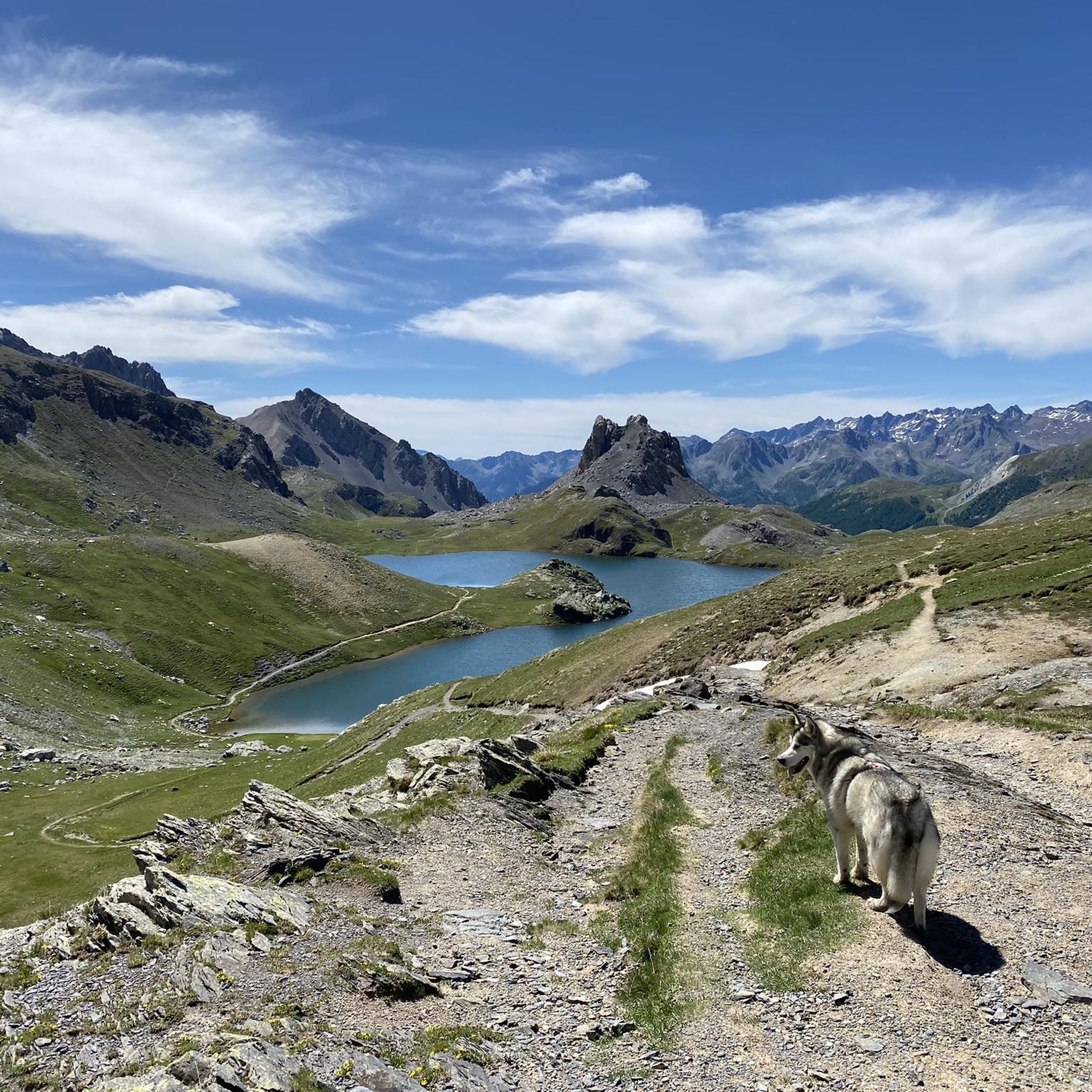
Cycling around Argentera

Gravel biking around Argentera
Running Trails around Argentera

Mountain Hikes around Argentera


Tips from the Community

Cycle-pedestrian road, very pleasant to cycle on as an alternative to the main road. It rightly passes through the woods, which often obstruct the view.
0
0
Part of the old military road of the Stura Valley, in this segment it is particularly picturesque.
0
0
The Forte Albertino of Vinadio was built in the 19th century to block potential French invasions - but it was never used for that. The imposing structures, which have given the town its identity, remain.
0
0
Important pass between France and Italy, it is surrounded by a frame of wonderful mountains, which make you want to return to the valley. Several points of interest "anthropogenic" - including: French side, a contour line model of the area of the pass; Italian side, memorial monuments to Tazio Nuvolari and Fausto Coppi, protagonist on this pass of the legendary feat of the Cuneo-Pinerolo stage in 1949.
1
0
A country centered on its fort, but which also reveals other beauties worth seeking out deliberately.
0
0

https://youtu.be/hC4eceIyyMw?si=515BXh8fRIHsMTkt At the top, there's a wooden stall with snacks and drinks; that's it, a road pass.
0
0


Frequently Asked Questions
How many road cycling routes are available around Argentera?
Argentera offers a wide selection of road cycling routes, with over 30 meticulously designed tours. These routes vary significantly in length and elevation gain, catering to different fitness levels and preferences.
What kind of terrain and elevation can I expect when road cycling in Argentera?
Road cycling around Argentera, situated at 1,650 meters, is characterized by challenging alpine terrain. You'll encounter demanding climbs and winding descents on quiet roads with excellent surfaces. The region features impressive mountains, rolling meadows, and dense forests of fir and larch trees, providing a mix of natural and rural scenery.
Are there road cycling routes suitable for beginners or less experienced cyclists in Argentera?
While Argentera is known for its challenging terrain, there are a few routes suitable for less experienced cyclists. The area offers 2 easy and 11 moderate routes, providing options for those looking for less strenuous rides or gradual ascents.
What are some challenging road cycling routes for advanced cyclists in Argentera?
Advanced cyclists will find plenty of challenging options, with 18 difficult routes available. The region is home to iconic passes like Col de la Lombarde and Colle della Maddalena (Col de Larche). A particularly demanding route is the Vinadio – Col de la Lombarde loop from Argentera, which covers 154.4 km with over 4,000 meters of elevation gain.
What natural features and landmarks can I see along the road cycling routes in Argentera?
The Argentera region is rich in natural beauty. Cyclists can enjoy striking mountains, expansive meadows, and dense forests. Notable natural features include numerous alpine lakes, such as the Roburent Lakes and the scenic Maddalena Lake. You might also encounter historical buildings like the Chiesa di San Lorenzo in Bersezio or the magnificent Alpine architecture in Ferrere.
Are there any specific passes or climbs that are popular among road cyclists in Argentera?
Absolutely. The Col de la Lombarde is renowned for its challenging ascent and beautiful, narrow road with good asphalt. The Colle della Maddalena (Col de Larche) is another international pass, popular for its long series of hairpin bends. The ascent to Col de Larche summit is a memorable experience for passionate cyclists.
What do other road cyclists enjoy most about road cycling in Argentera?
The road cycling experience in Argentera is highly rated by the komoot community, with an average score of 4.8 stars from over 90 reviews. Cyclists often praise the high alpine passes, striking mountain views, and the dense forests. The variety of routes, from moderate climbs to difficult, long-distance options, is also frequently highlighted.
Are there any circular road cycling routes available in Argentera?
Yes, many of the routes around Argentera are designed as loops, allowing you to start and finish in the same location. For example, the Col de Larche – Ubaye River loop from Argentera is a popular circular path that includes the international Col de Larche pass.
What is the best time of year for road cycling in Argentera?
The best time for road cycling in Argentera is typically during the warmer months, from late spring to early autumn. This period offers the most favorable weather conditions for tackling the high alpine passes and enjoying the scenic landscapes without snow or ice.
Are there any attractions or points of interest near the road cycling routes?
Yes, there are several points of interest. You can explore beautiful alpine lakes like Lago Nero (Valle Maira) or Lac du Lauzanier. The region also features impressive gorges, such as the Passage Through the Rocks of Vallone dei Morti, offering diverse scenery beyond the cycling paths.
Is there an alternative road to avoid heavy traffic when cycling towards Colle della Maddalena?
Yes, the Military Road Borgo–Argentera offers an alternative to the SS 21 of Colle della Maddalena, helping cyclists avoid heavy traffic. This route is partly paved and suitable for various fitness levels, though some segments might be unpaved.
Most popular routes around Argentera
Most popular attractions around Argentera

Get inspired with the komoot mobile app


Explore more
Browse the best Road cycling routes in other regions.
