The best gravel rides around Argentera
4.8
(23)
252
riders
5
rides
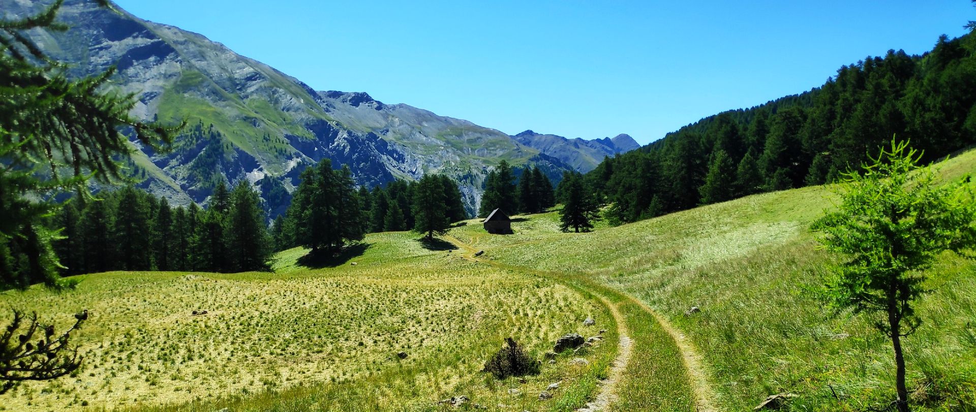
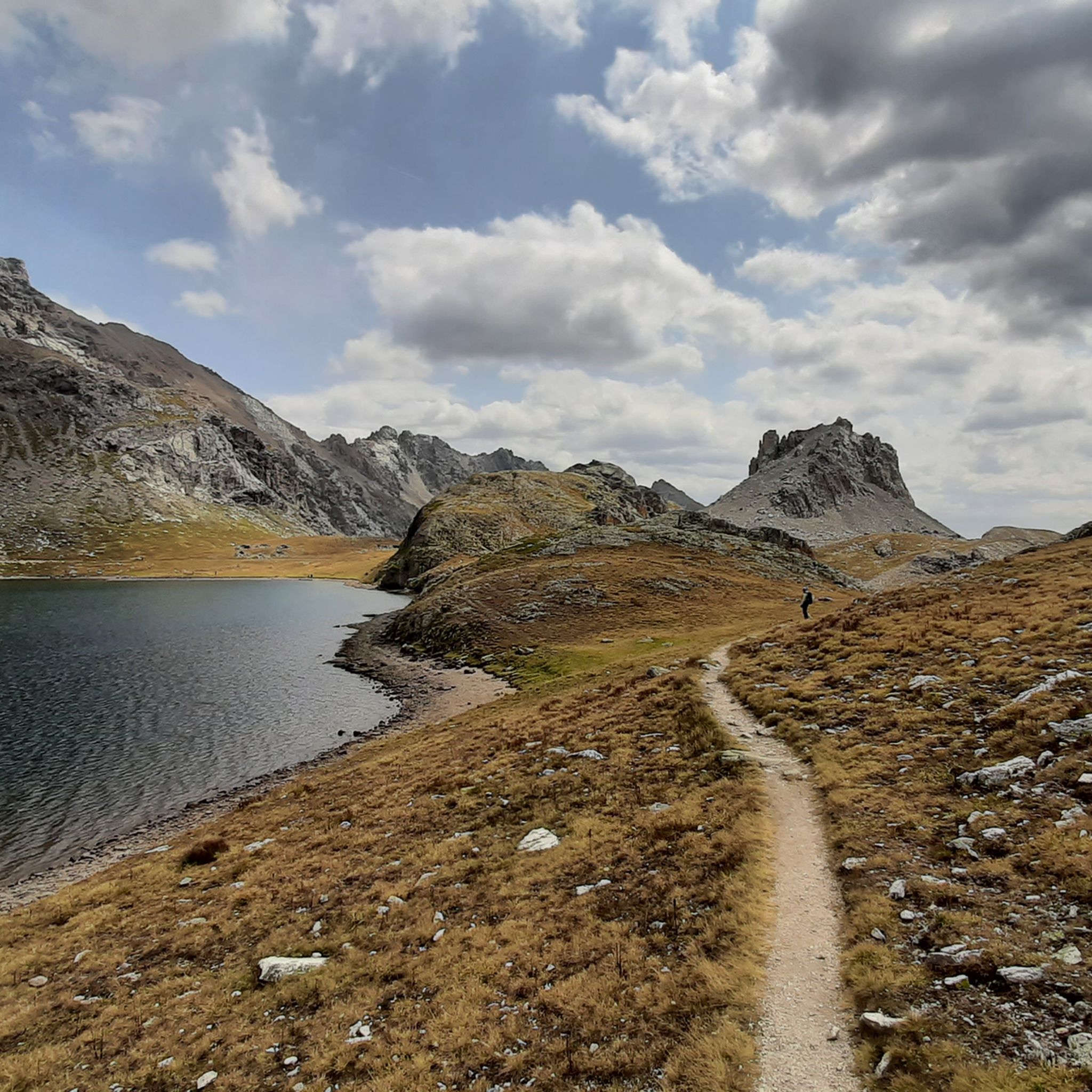
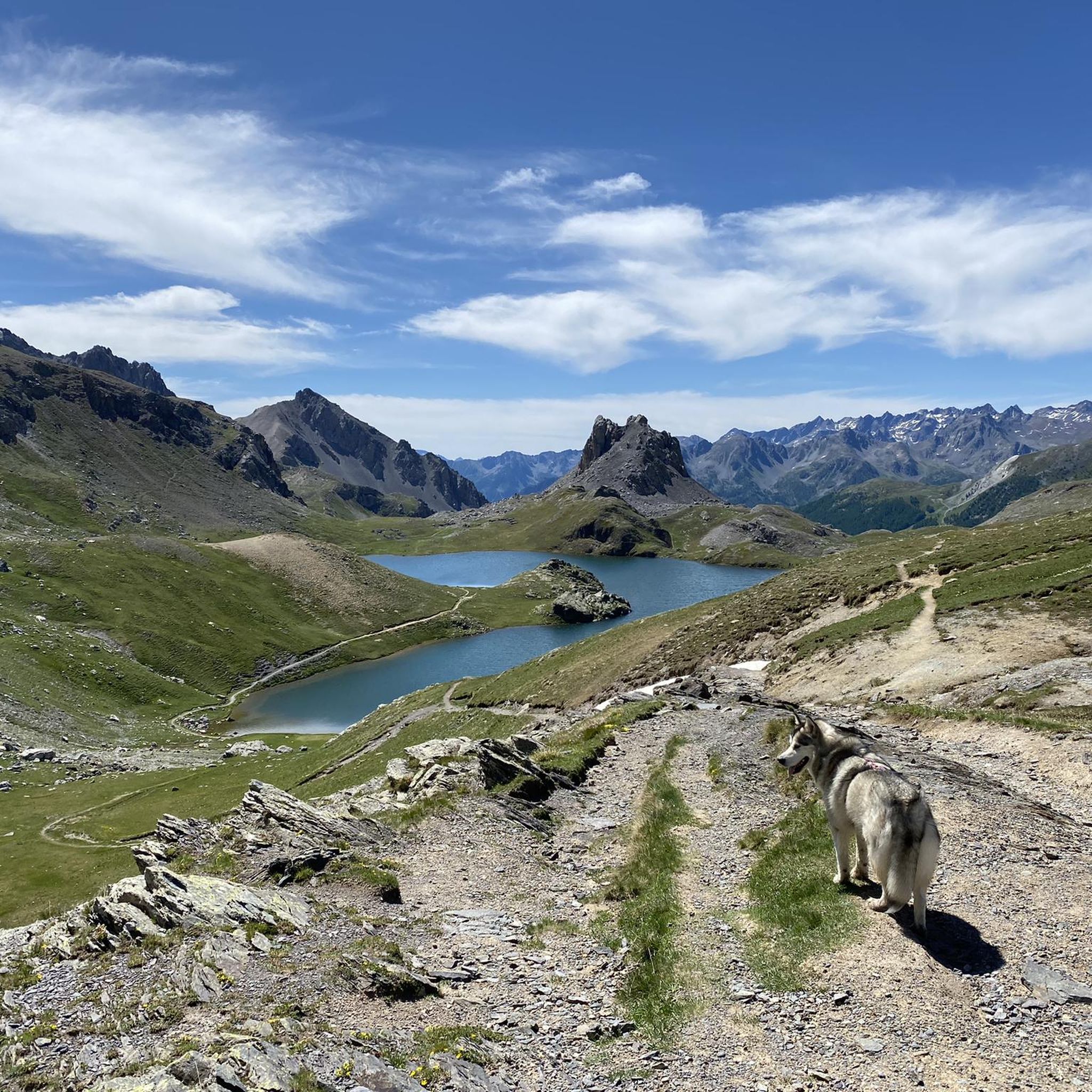
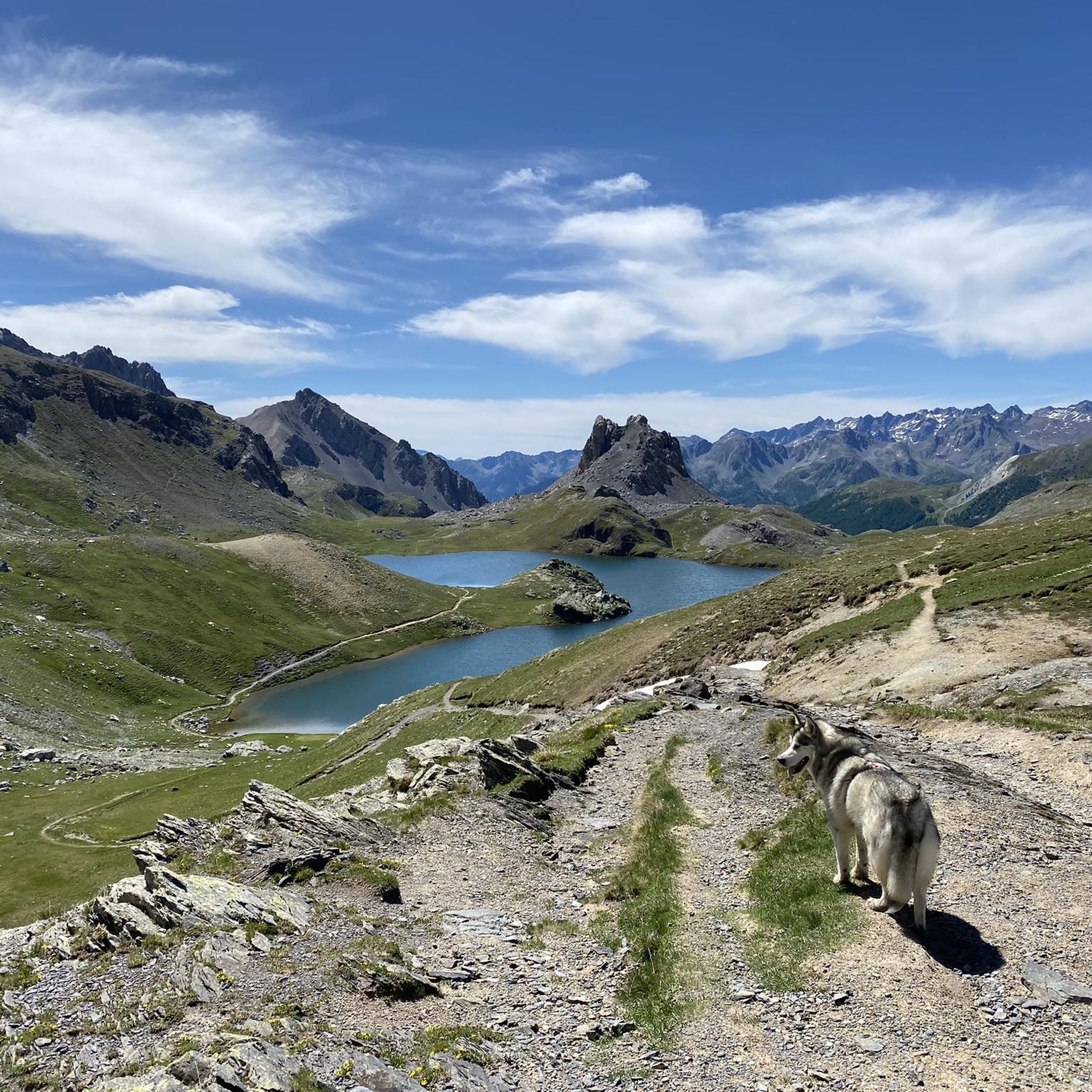
Gravel biking around Argentera provides access to a high mountain environment in Italy's Stura Valley, bordering France. This region features diverse natural landscapes, including numerous Alpine lakes such as the Roburent Lakes and Maddalena Lake, alongside dense forests of fir and larch trees. The terrain is characterized by rugged mountain paths, crags, and an "exuberant watercourse," offering challenging routes for gravel cyclists. The area also includes the Colle della Maddalena, an international pass known for its scenic ascents and descents.
Best gravel bike trails around Argentera
- The most popular gravel bike trail is Gardetta Plateau loop from Canosio, a 26.4 miles (42.5 km) trail that takes 4 hours 39 minutes to complete. This route features significant elevation gain through alpine landscapes.
- Another top favourite among local gravel bikers is Devil's Bridge of Dronero – Birrone Pass loop from Parcheggio P2 Gardetta, a difficult 69.0 miles (111.1 km) path. This extensive route traverses varied terrain, including mountain roads and passes.
- Local gravel bikers also love the Gravel track Col de la Bonette – The Waterfall - Torrent de Vens loop from Saint-Étienne-de-Tinée, a 35.4 miles (56.9 km) trail leading through high mountain scenery and forests, often completed in about 5 hours 53 minutes.
- Gravel biking around Argentera is defined by high mountain scenery, Alpine lakes, and dense forests. The network offers options for different ability levels, though many routes present significant challenges.
- The routes in Argentera are highly rated by the komoot community with an average score of 4.8 stars from over 20 reviews. More than 200 gravel bikers have used komoot to explore Argentera's varied terrain.
Last updated: July 4, 2026
4.9
(16)
159
riders
42.5km
04:39
1,490m
1,490m
Hard gravel ride. Very good fitness required. You may need to push your bike for some segments of this route.
5.0
(2)
42
riders
112km
08:17
2,990m
2,990m
Hard gravel ride. Very good fitness required. Mostly paved surfaces. Suitable for all skill levels.

Sign up for free
4.3
(3)
17
riders
35.2km
02:27
780m
780m
Hard gravel ride. Very good fitness required. Mostly paved surfaces. Suitable for all skill levels.
5.0
(1)
27
riders
Hard gravel ride. Very good fitness required. Mostly paved surfaces. Suitable for all skill levels.
5.0
(1)
10
riders
63.6km
04:56
1,920m
1,920m
Hard gravel ride. Very good fitness required. Mostly paved surfaces. Suitable for all skill levels.
Our route recommendations are based on thousands of hikes, rides, and runs completed by other people on komoot.
Start today with a free account
Your next adventure awaits.
Login or Signup
Popular around Argentera

Seven MTB routes in the Southern Alps – nature, passes and valleys
MTB Tour of the Ubaye Valley – La Transubayenne

MigrAction – Generations in Motion
Hiking around Argentera
MTB Trails around Argentera
Road Cycling Routes around Argentera
Cycling around Argentera
Running Trails around Argentera

Mountain Hikes around Argentera


Tips from the Community

Secondary pass between Valle Grana and Valle Maira. Reachable from the Esischie-Fauniera road, from the Val Maira side it is reached only by a path. You can enjoy a beautiful view of the mountains of Val Maira on one side, and of the summit basin of Val Grana on the other.
0
0
Secondary pass connecting the Stura di Demonte valley to the southeastern spurs of the Gardetta Plateau. From the pass, you can enjoy a spectacular view. It requires a short detour from the main road to the Fauniera, but it is definitely worth the small effort. If you want to continue, you can quickly reach the Colle di Ancoccia, and from there the Gardetta Plateau itself.
0
0
Impressive passage in a gorge carved between the rocks, which leaves you speechless. It seems to be from a surrealist tale. Upstream and downstream, dreamlike panoramas open up.
0
0

I rode up to the Col de Moutiere from Saint Etienne via Saint Dalmas, and then took the 3km of gravel road link to the Col de la Bonette. I returned to Saint Etienne via the more classic D64. It makes for a much quieter, wilder and steeper ascent, with a better (but busier) road surface and more gradual decline for the D64 descent. Also this way it's a loop and you see more of the incredible scenery. The 3km gravel section is very doable with my moutain bike (i would rate it as a 'blue'). I didnt need to carry or push the bike even though some parts were boken up by small water crossings. I was overtaken by a motorbike at one point. Be careful of the weather here, especially the potentially violent afternoon thunderstorms. There is no shelter nearby
0
0


barracks along the military road
0
0
on the spectacular military road
0
0
one of the many hills in the area
0
0
Frequently Asked Questions
How many gravel bike trails are available around Argentera?
The Argentera region offers a network of gravel bike trails, with over 200 komoot users having explored its varied terrain. While the guide highlights several key routes, the area provides numerous options for gravel biking enthusiasts.
What kind of terrain can I expect on gravel bike trails near Argentera?
Gravel biking in Argentera takes you through a high mountain environment characterized by rugged mountain paths, dense forests of fir and larch trees, and an "exuberant watercourse." You'll encounter diverse natural landscapes, including numerous Alpine lakes and scenic ascents and descents, particularly around the Colle della Maddalena.
Are there any circular gravel routes in the Argentera region?
Yes, several circular routes are popular in the Argentera area. For instance, the Gardetta Plateau loop from Canosio is a 42.5 km trail, and the Devil's Bridge of Dronero – Birrone Pass loop from Parcheggio P2 Gardetta is a longer 111.1 km option. Another notable loop is the Gravel track Col de la Bonette – The Waterfall - Torrent de Vens loop from Saint-Étienne-de-Tinée.
What are some notable natural attractions or landmarks I can see while gravel biking in Argentera?
The region is rich in natural beauty. You can encounter stunning Alpine lakes like Lago Nero (Valle Maira), and the Source of the Maira. Mountain passes such as Colle Greguri (Greguri Pass) and Colle Fauniera offer breathtaking views. You might also pass by historical sites like the Bandia Barracks.
Is Argentera suitable for advanced gravel bikers looking for a challenge?
Absolutely. Argentera is known for its challenging routes. Many trails feature significant elevation gain and rugged terrain, making them ideal for experienced riders. For example, the Devil's Bridge of Dronero – Birrone Pass loop from Parcheggio P2 Gardetta is a difficult 111.1 km path that traverses varied mountain roads and passes, favored by local gravel bikers.
What is the best time of year for gravel biking in Argentera?
The best time for gravel biking in Argentera is typically from late spring through early autumn. During these months, the weather is generally more favorable, and the high mountain passes are clear of snow. Autumn is particularly enchanting when the larch trees turn golden, adding to the scenic beauty.
Are there any family-friendly gravel biking options in Argentera?
While many routes in Argentera present significant challenges, some shorter, less strenuous sections or forest roads might be suitable for families with older children or those seeking a more relaxed ride. For a shorter option, consider the Saretto Village – Lake and Dam of Saretto loop from Acceglio, which is 19 km long.
What do other gravel bikers say about the trails in Argentera?
The gravel biking routes in Argentera are highly regarded by the komoot community, receiving an average rating of 4.8 stars from over 20 reviews. Riders often praise the stunning high mountain scenery, the diverse natural landscapes, and the challenging yet rewarding nature of the trails.
Are there opportunities to see waterfalls or alpine lakes on the gravel routes?
Yes, the Argentera region is dotted with numerous Alpine lakes, such as the scenic Roburent Lakes and Maddalena Lake. The rugged terrain also features impressive crags with waterfalls, especially during spring melt or after heavy rains. The Gravel track Col de la Bonette – The Waterfall - Torrent de Vens loop from Saint-Étienne-de-Tinée specifically highlights a waterfall.
Where can I find refreshments or cafes along the gravel routes in Argentera?
The charming hamlets within Argentera, such as Bersezio and Ferrere, offer opportunities for refreshments. Additionally, some routes may pass by mountain huts like the Gardetta Hut, which can provide food and drink. It's always advisable to carry sufficient supplies, especially on longer, more remote trails.
Can I reach Argentera's gravel bike trails using public transport?
While Argentera is a high mountain destination, public transport options to the Stura Valley exist, though they might require careful planning and connections. For detailed information on bus schedules and routes to Argentera and its surrounding hamlets, it is best to consult local transport authorities or the official tourism websites for the Cuneese region.
Are there specific parking areas for gravel bikers in Argentera?
Parking is generally available in the main hamlets of Argentera, such as Bersezio, and at common starting points for outdoor activities. For specific routes, like the Devil's Bridge of Dronero – Birrone Pass loop, the starting point is indicated as 'Parcheggio P2 Gardetta', suggesting designated parking. Always check local signage for parking regulations.
Most popular routes around Argentera
Most popular attractions around Argentera

Get inspired with the komoot mobile app


Explore more
Browse the best Gravel rides in other regions.
