The best road cycling routes around Stützerbach
4.5
(327)
4,817
riders
167
rides
Road cycling routes around Stützerbach are situated in a region characterized by rolling hills, dense forests, and river valleys within the Thuringian Forest. The landscape features a mix of challenging ascents and scenic descents, often following established cycle paths or quiet country roads. Elevation changes are common, providing varied terrain for road cyclists.
Best road cycling routes around Stützerbach
- The most popular road cycling route is Kehltal Valley – Jonastal loop from Schmiedefeld am Rennsteig, a 53.7 miles (86.5…
Last updated: October 12, 2026
5.0
(4)
125
riders
86.5km
04:20
1,100m
1,100m
Hard road ride. Very good fitness required. Mostly well-paved surfaces and easy to ride.
5.0
(4)
92
riders
65.7km
03:24
1,190m
1,190m
Hard road ride. Very good fitness required. Some segments of this route may be unpaved and difficult to ride.

5.0
(5)
68
riders
30.8km
01:28
440m
440m
Moderate road ride. Good fitness required. Mostly well-paved surfaces and easy to ride.
4.6
(5)
84
riders
57.0km
02:44
800m
800m
Moderate road ride. Good fitness required. Some segments of this route may be unpaved and difficult to ride.
4.0
(1)
30
riders
59.9km
02:48
800m
800m
Moderate road ride. Good fitness required. Some segments of this route may be unpaved and difficult to ride.
Get access to more routes and recommendations from other explorers.
Already have an account?
Our route recommendations are based on thousands of hikes, rides, and runs completed by other people on komoot.
Start today with a free account
Your next adventure awaits.
Popular around Stützerbach

Forest, vastness and water – day trips in the Thuringian Forest
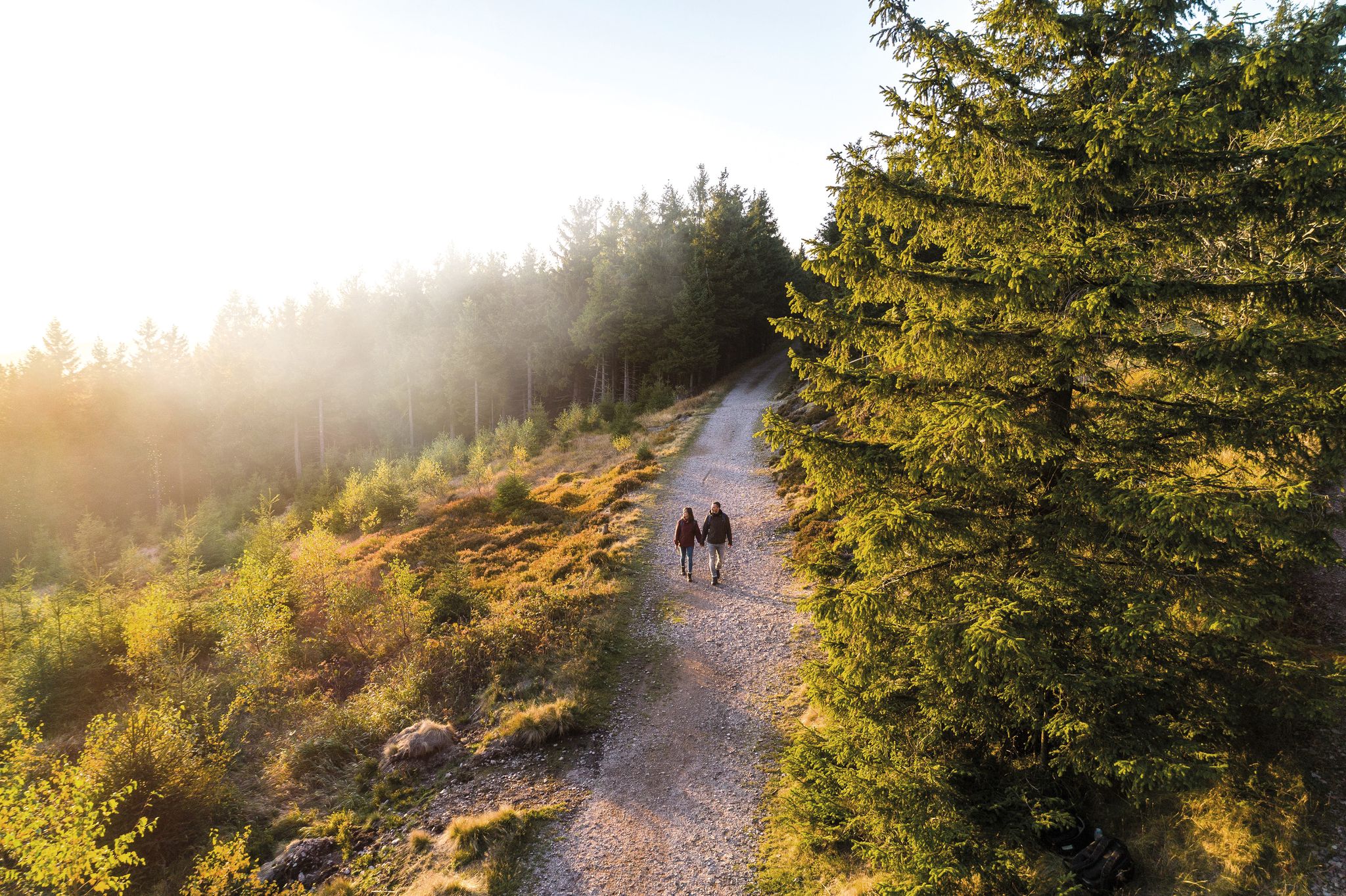
Outdoor time – hikes to help you unwind in Thuringia
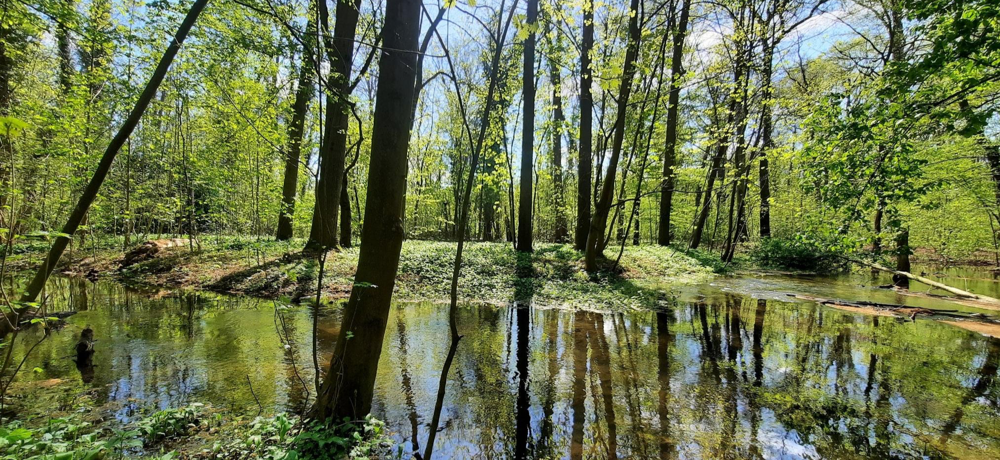
Mindful Hiking 2.0 – Runterfahren & zur Ruhe kommen
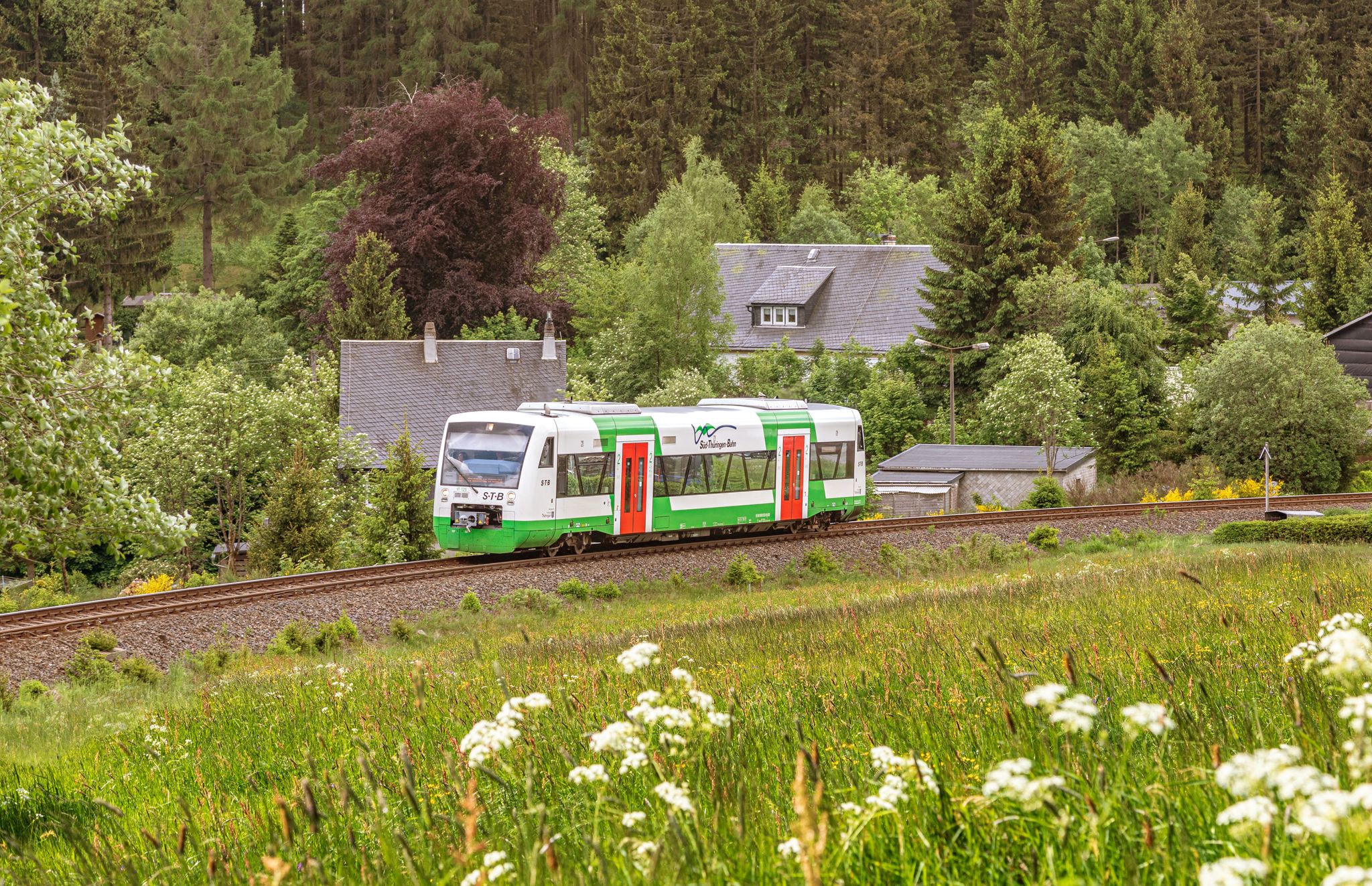
Vom Gleis zum Gipfel – Wandern mit der Süd•Thüringen•Bahn
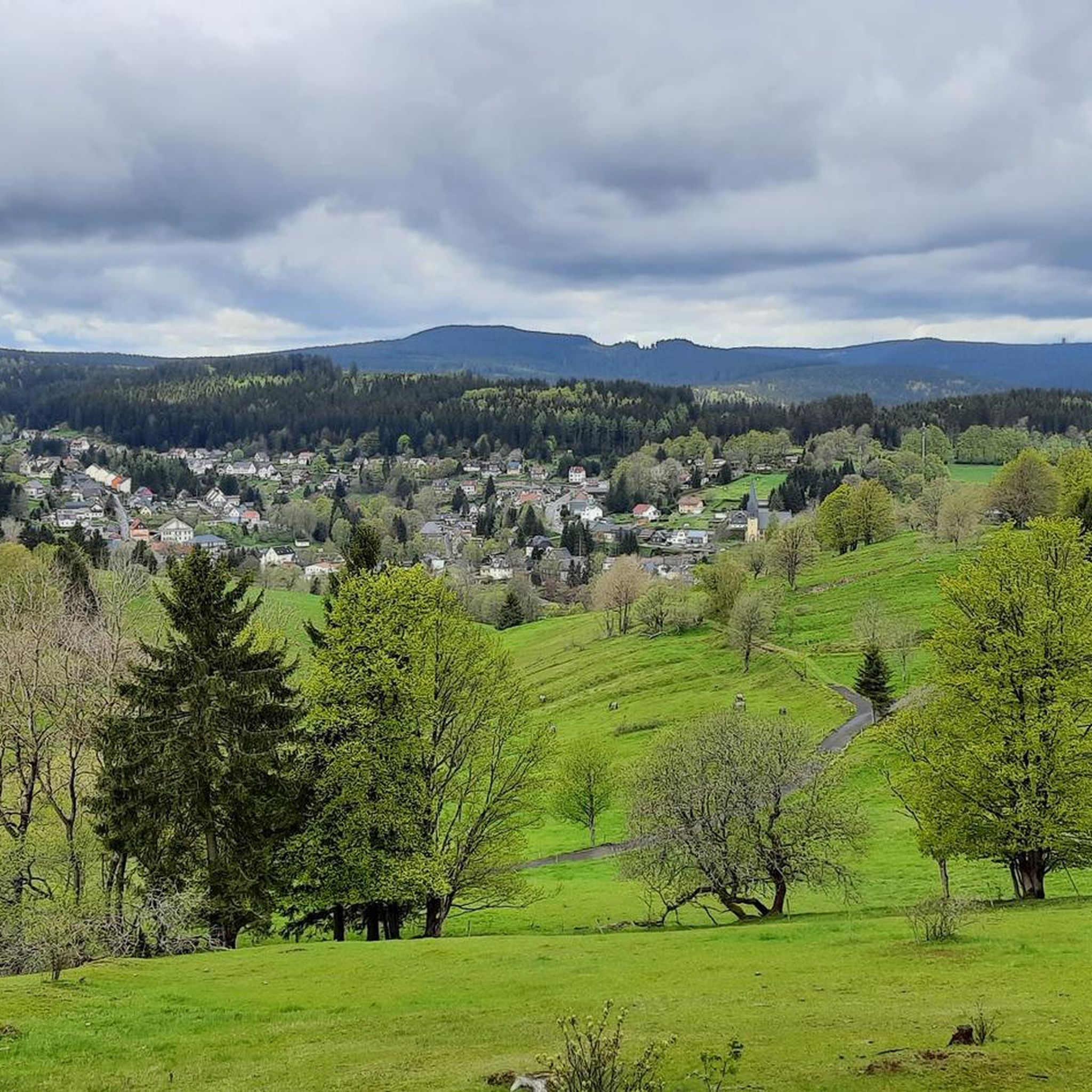
Hiking around Stützerbach
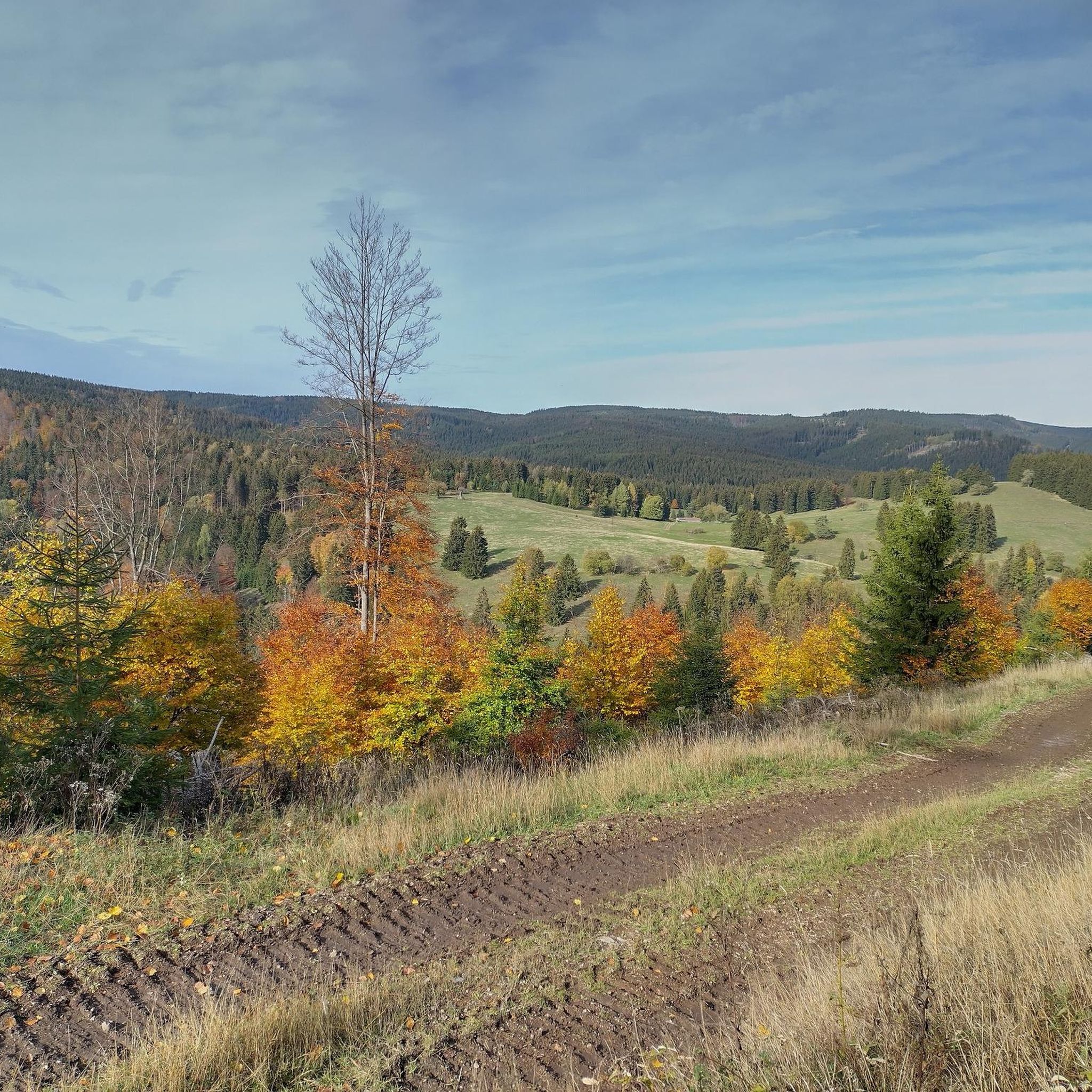
Cycling around Stützerbach
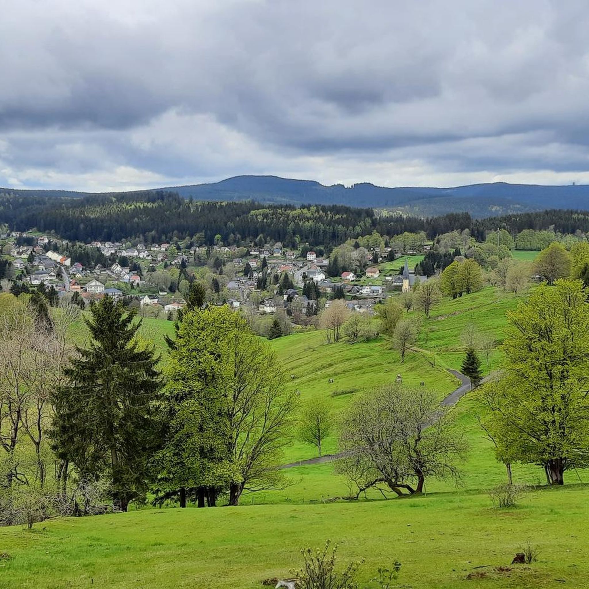
MTB Trails around Stützerbach

Gravel biking around Stützerbach
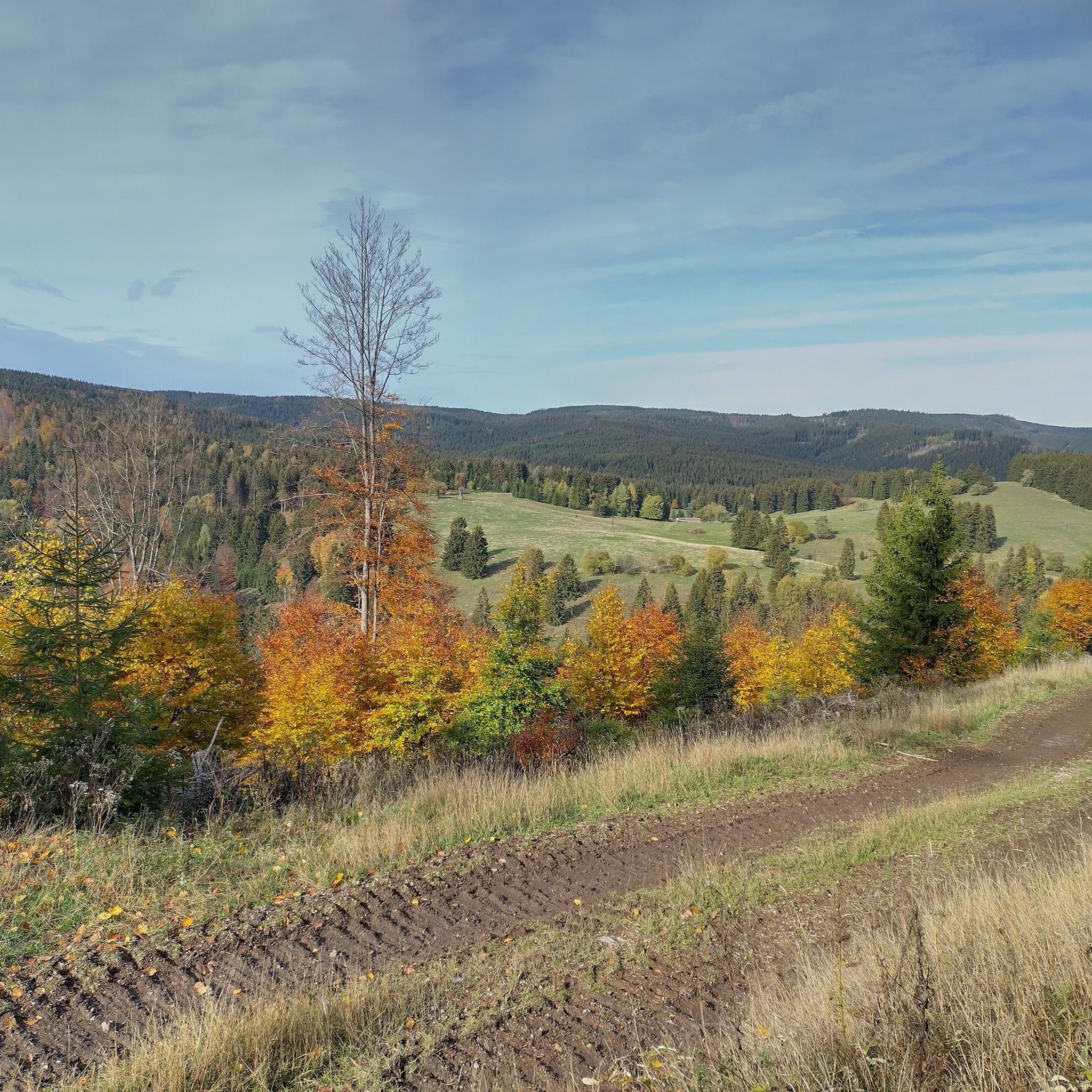
Running Trails around Stützerbach
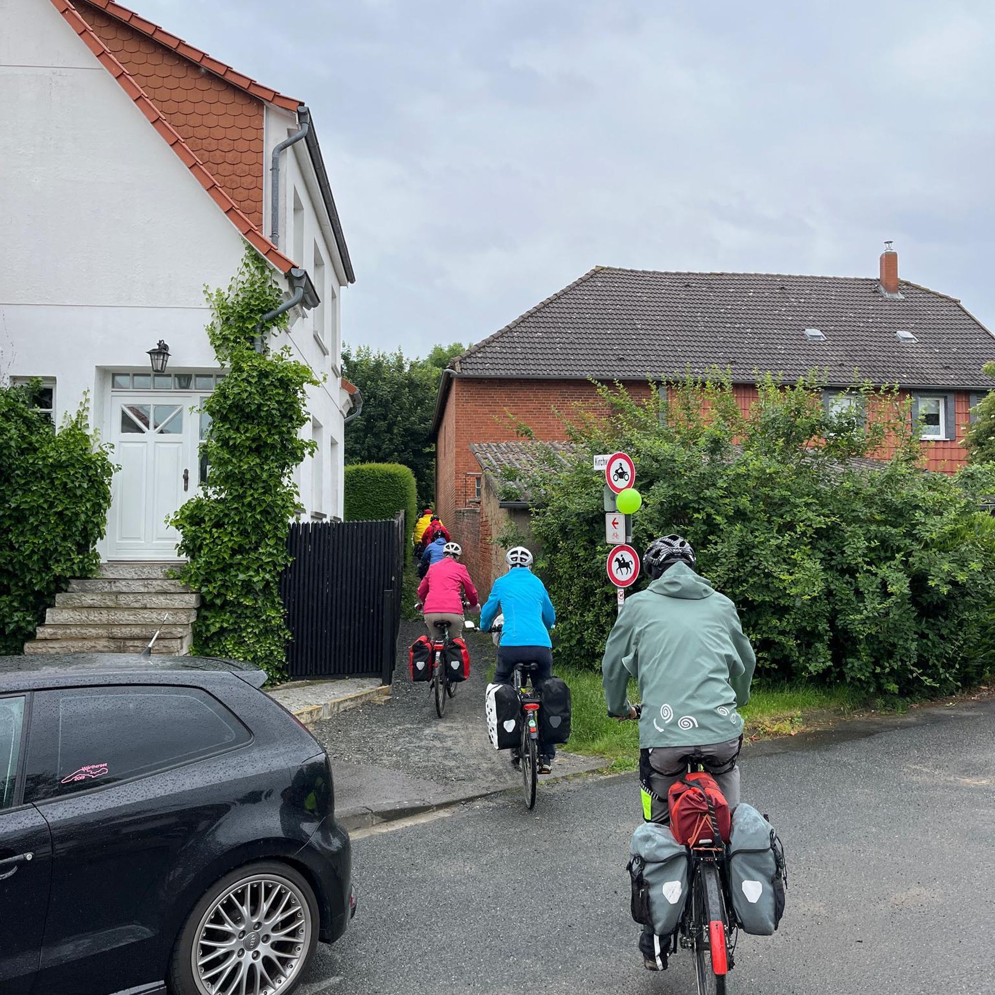
Mountain Hikes around Stützerbach
Other adventures around Stützerbach


Tips from the Community

Beautiful resting place on the Rennsteig.
0
0

Nice climb! Low traffic and good tarmac
0
0

Comfortable pass ride with moderate gradients.
0
0
Comfortable pass ride, the gradient is kept well within limits.
0
0


That something like this will never be seen again.
1
0


The Waldbaude Großer Dreiherrenstein is a rustic restaurant in the Thuringian Forest, located directly on the Rennsteig Trail. It offers a cozy atmosphere and traditional Thuringian specialties, including roasted pork, dumplings, and seasonal dishes. Opening hours: Monday, Friday, Saturday, and Sunday from 11 a.m. to 6 p.m.
0
0
Frequently Asked Questions
How many road cycling routes are available around Stützerbach?
There are over 170 road cycling routes around Stützerbach, offering a wide range of options for different skill levels. You'll find everything from moderate loops to more advanced routes with significant elevation gain.
Are there easy road cycling routes suitable for beginners in Stützerbach?
Yes, Stützerbach offers around 10 easy road cycling routes. These routes typically feature less challenging ascents and shorter distances, making them ideal for beginners or those looking for a relaxed ride.
What kind of terrain can I expect on road cycling routes in Stützerbach?
The region around Stützerbach is characterized by rolling hills, dense forests, and river valleys within the Thuringian Forest. You can expect a mix of challenging ascents and scenic descents, often following established cycle paths or quiet country roads. Elevation changes are common, providing varied terrain.
Are there any advanced road cycling routes for experienced riders?
Absolutely. For experienced riders seeking a challenge, Stützerbach features over 80 difficult routes. These often include significant climbs and longer distances, such as the Kehltal Valley – Jonastal loop from Schmiedefeld am Rennsteig, which covers 53.7 miles (86.5 km) with over 1000 meters of elevation gain.
What are some scenic viewpoints accessible by road bike in the Stützerbach area?
Many routes offer stunning views of the Thuringian Forest. For example, the View of Hoher Stein – Ruppberg South Ascent loop from Stützerbach includes significant climbs that reward you with panoramic vistas from elevated points. You can also find highlights like the Kickelhahn Tower or Plänckner's viewpoint (Großer Beerberg) along various routes.
Are there circular road cycling routes around Stützerbach?
Yes, many of the road cycling routes around Stützerbach are designed as loops. For instance, the Waldgasthaus Auerhahn – Rennsteig Station loop from Stützerbach is a popular circular route leading through forested areas. The Ilmenau–Langewiesen Cycle Path – Rennsteig Station loop from Schmiedefeld am Rennsteig also offers a great circular experience.
What is the best time of year for road biking in Stützerbach?
The spring, summer, and early autumn months generally offer the most favorable conditions for road cycling in Stützerbach, with pleasant temperatures and lush scenery. While some routes may be accessible in winter, be prepared for colder temperatures and potential snow or ice, especially at higher elevations in the Thuringian Forest.
What do other road cyclists enjoy most about road cycling in Stützerbach?
The area is highly rated by the komoot community, with an average score of 4.6 stars from over 200 reviews. Reviewers often praise the varied terrain, the beautiful forested landscapes, and the well-maintained paths that make for an enjoyable cycling experience.
Are there any interesting landmarks or attractions to see along the road cycling routes?
Beyond the scenic views, you can encounter various points of interest. Some routes pass by natural monuments like the Kammerlöcher Rock Formations or historical sites such as the Goethe Cave at Hermannstein. The region also features several mountain peaks with observation points.
Are there options for less crowded road cycling routes in Stützerbach?
While popular routes can see more traffic, the extensive network of over 170 routes means you can often find quieter paths, especially on weekdays or by exploring some of the less-trafficked moderate difficulty routes. The region's dense forests offer many secluded sections.
What are the typical distances and elevation gains for road cycling routes in Stützerbach?
Distances vary widely, from shorter loops of around 19 miles (30 km) like the Waldgasthaus Auerhahn – Rennsteig Station loop, to longer, more challenging rides exceeding 50 miles (80 km) with over 1000 meters of elevation gain, such as the View of Hoher Stein – Ruppberg South Ascent loop.
Are there road cycling routes that pass by cafes or refreshment stops?
Many routes in the Thuringian Forest region are designed to pass through or near villages and towns where you can find cafes, restaurants, or traditional German 'Gasthäuser' for refreshments. The Waldgasthaus Auerhahn – Rennsteig Station loop, for example, suggests a stop at a forest guesthouse.
Most popular routes around Stützerbach
Most popular attractions around Stützerbach

Get inspired with the komoot mobile app


Explore more
Browse the best Road cycling routes in other regions.
