The best mountain hikes around Stützerbach
2.0
(1)
11
hikers
4
hikes
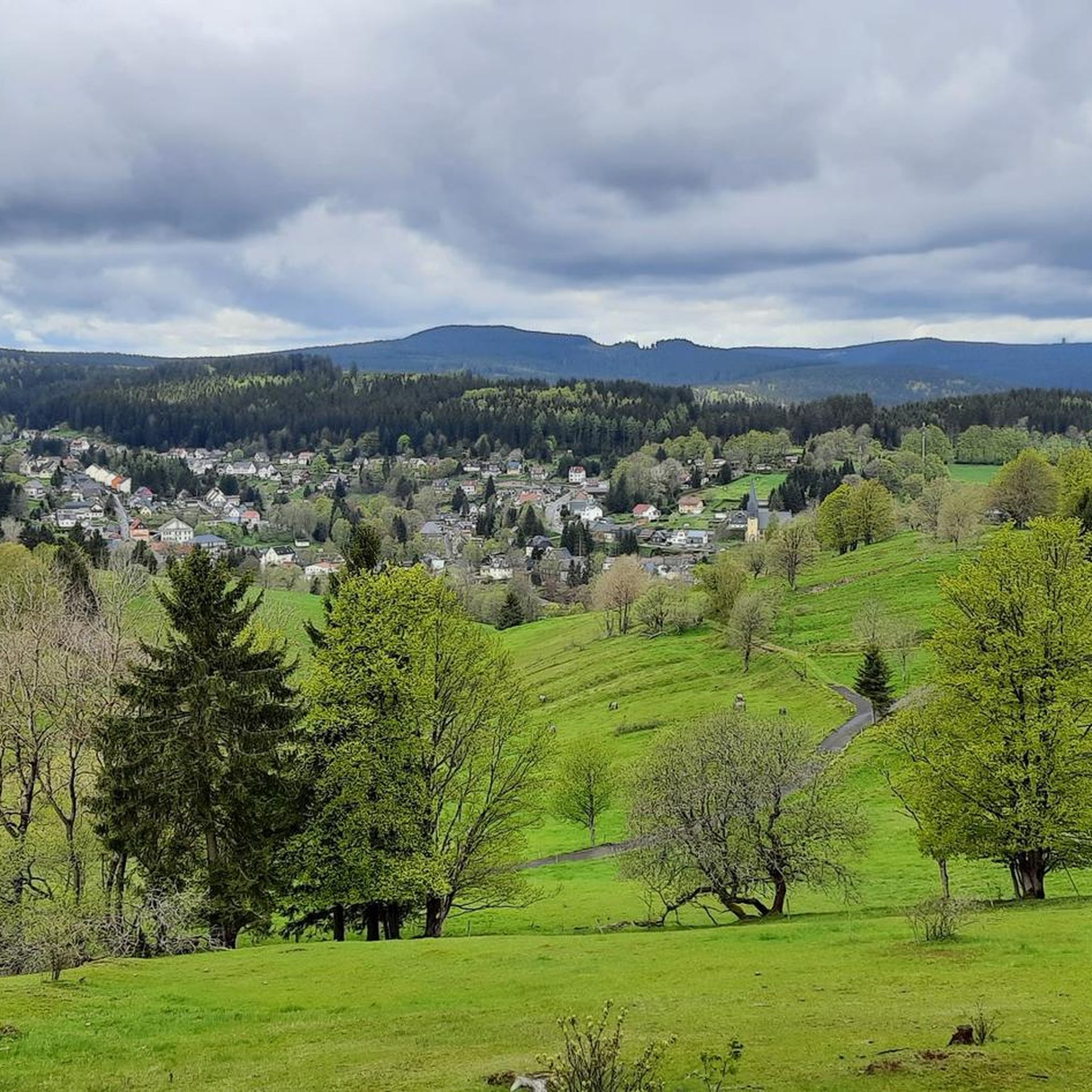
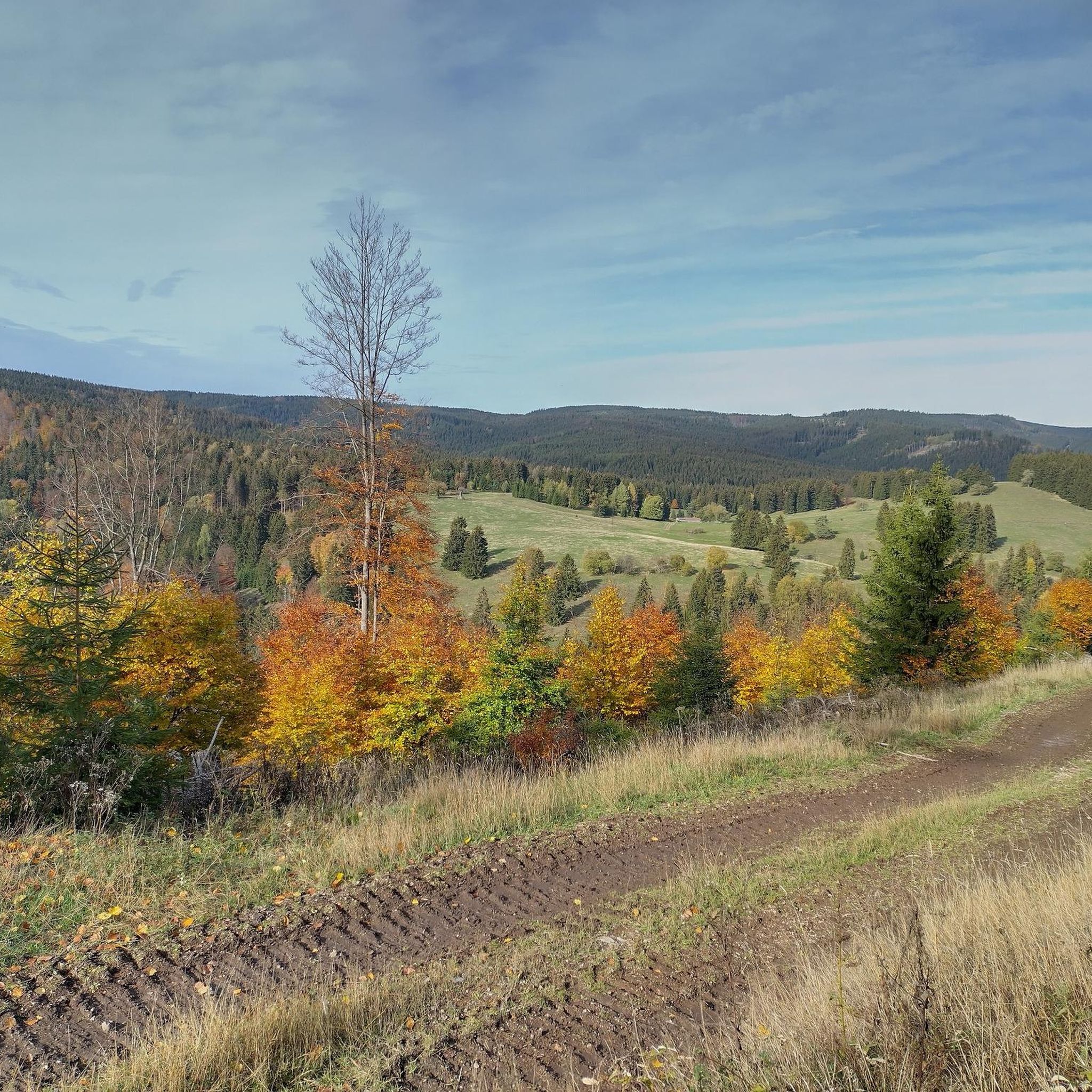
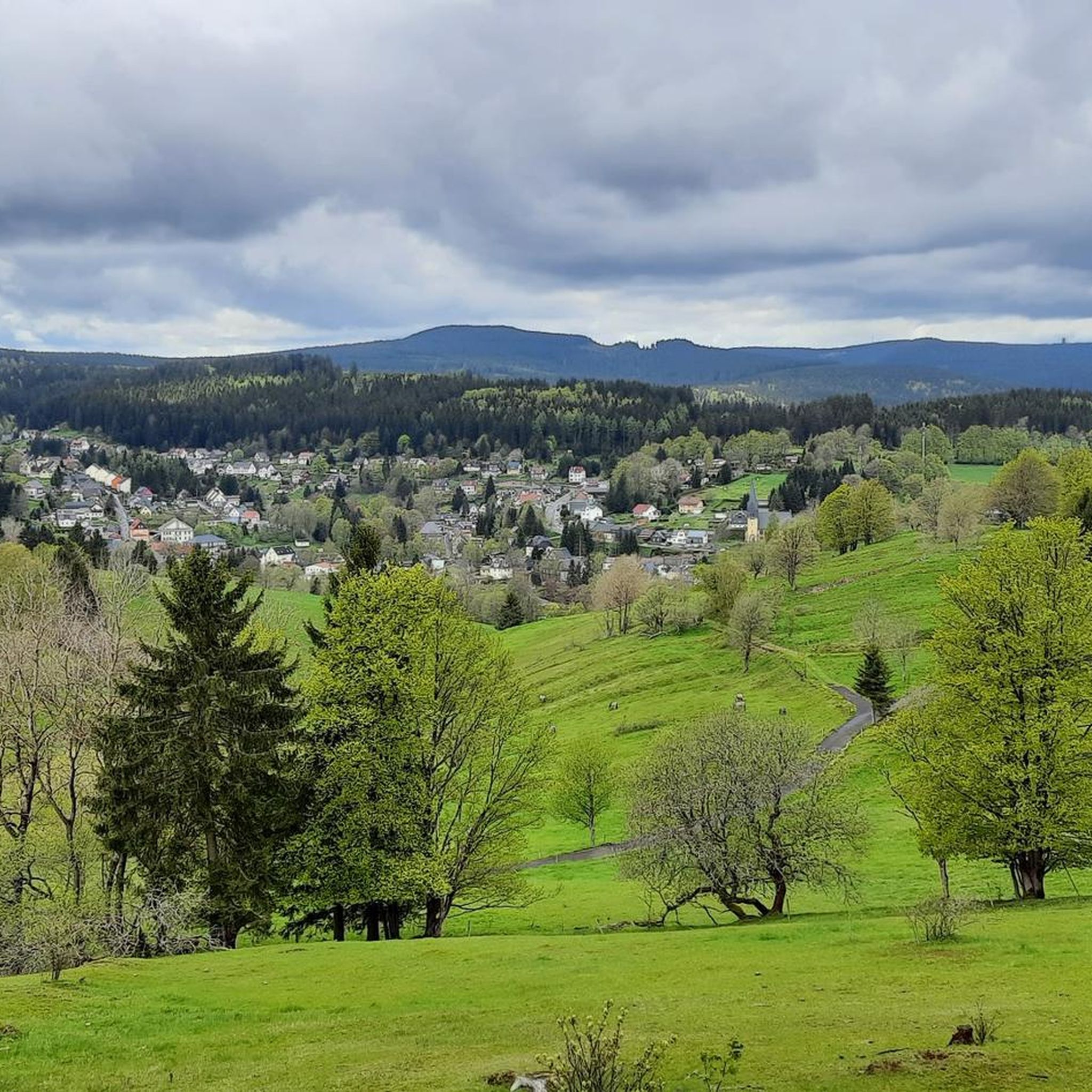
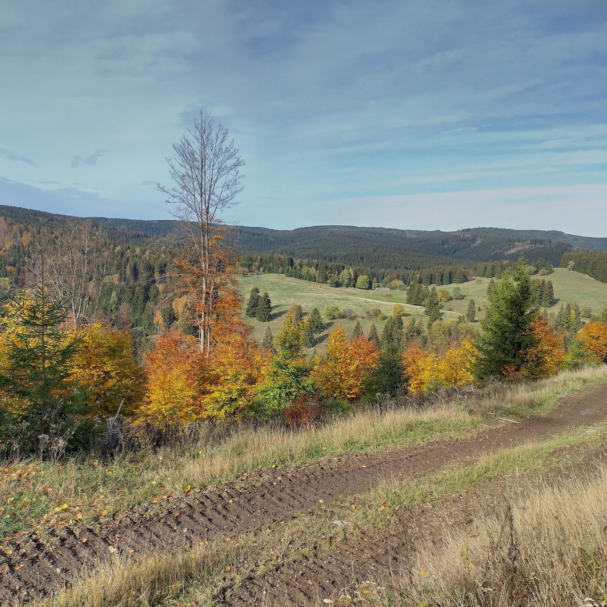
Mountaineering routes around Stützerbach are situated within the Thuringian Forest, a low mountain range characterized by dense woods, picturesque valleys, and elevated terrain. The region features numerous peaks and natural landmarks, offering opportunities to explore its natural elevation. Stützerbach itself is nestled amidst these forested landscapes, providing a setting for outdoor pursuits.
Best mountaineering routes around Stützerbach
- The most popular mountaineering route is Highest Point of the Rennsteig – Schmücke Lodge and Beer Garden loop from Kernzone Schneekopfmoor, a…
Last updated: October 11, 2026
4
hikers
Moderate mountaineering route. Good fitness required. Mostly accessible paths. Sure-footedness required.
2.0
(1)
4
hikers
11.2km
03:31
430m
430m
Moderate mountaineering route. Good fitness required. Easily-accessible paths. Suitable for all skill levels.

2
hikers
10.5km
03:16
400m
400m
Moderate mountaineering route. Good fitness required. Easily-accessible paths. Suitable for all skill levels.
1
hikers
16.2km
04:48
480m
480m
Moderate mountaineering route. Good fitness required. Easily-accessible paths. Suitable for all skill levels.
Our route recommendations are based on thousands of hikes, rides, and runs completed by other people on komoot.
Start today with a free account
Your next adventure awaits.
Popular around Stützerbach

Forest, vastness and water – day trips in the Thuringian Forest
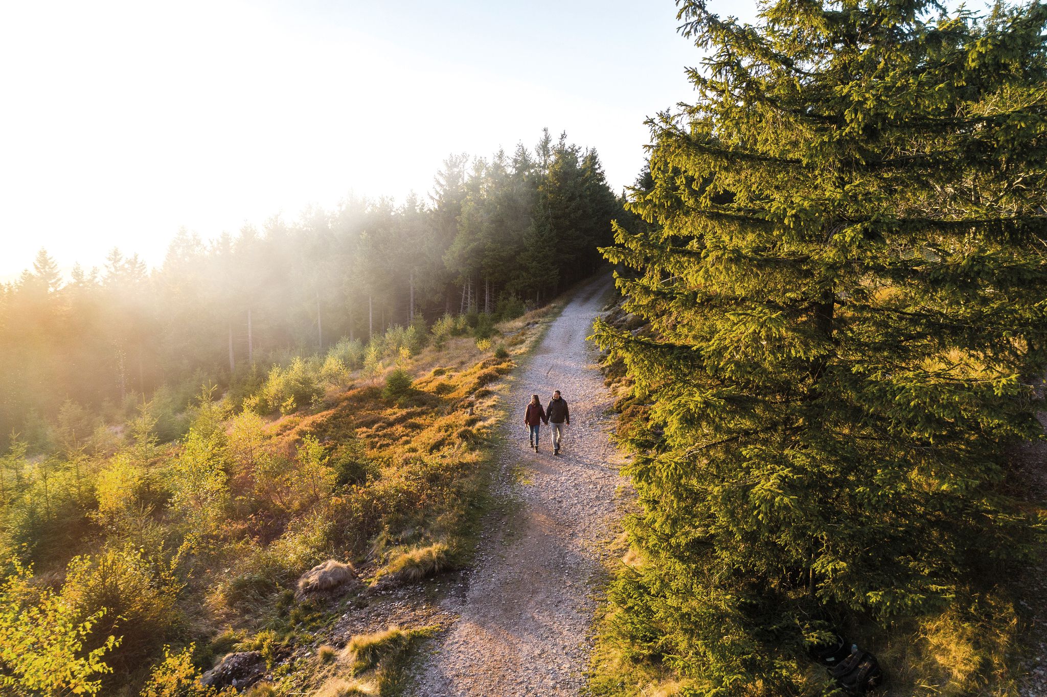
Outdoor time – hikes to help you unwind in Thuringia
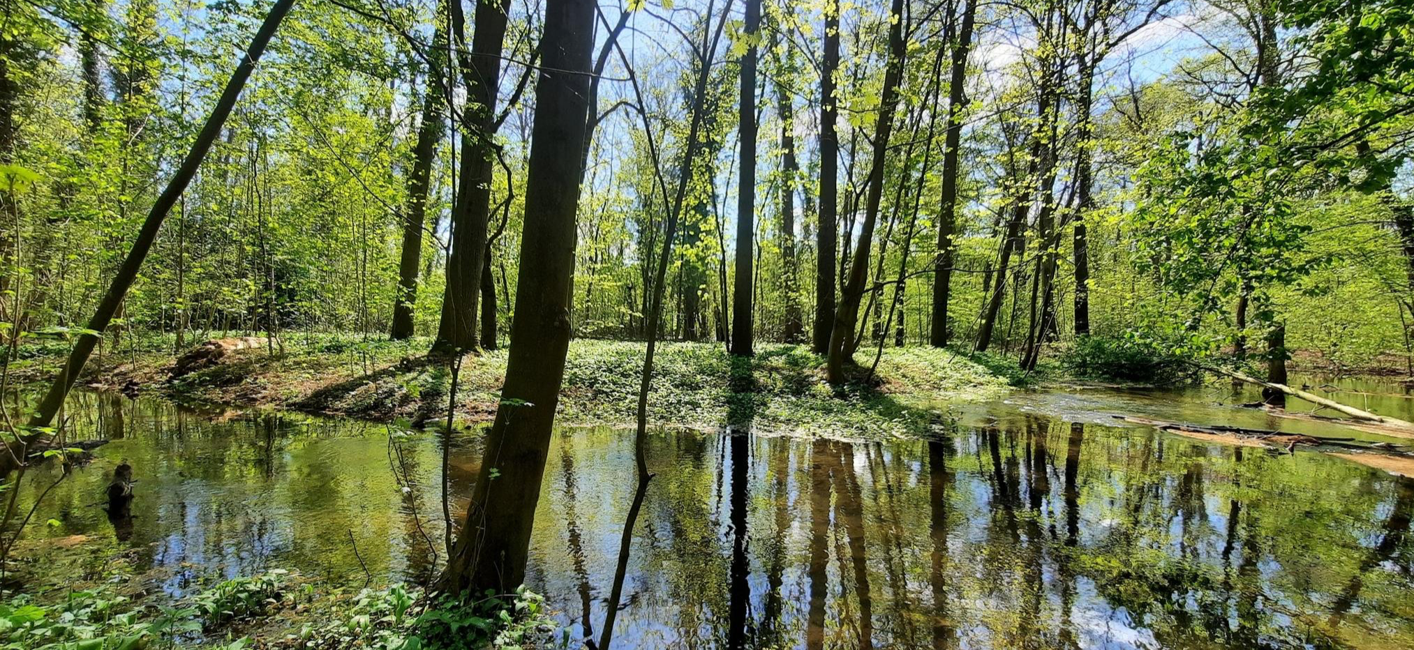
Mindful Hiking 2.0 – Runterfahren & zur Ruhe kommen
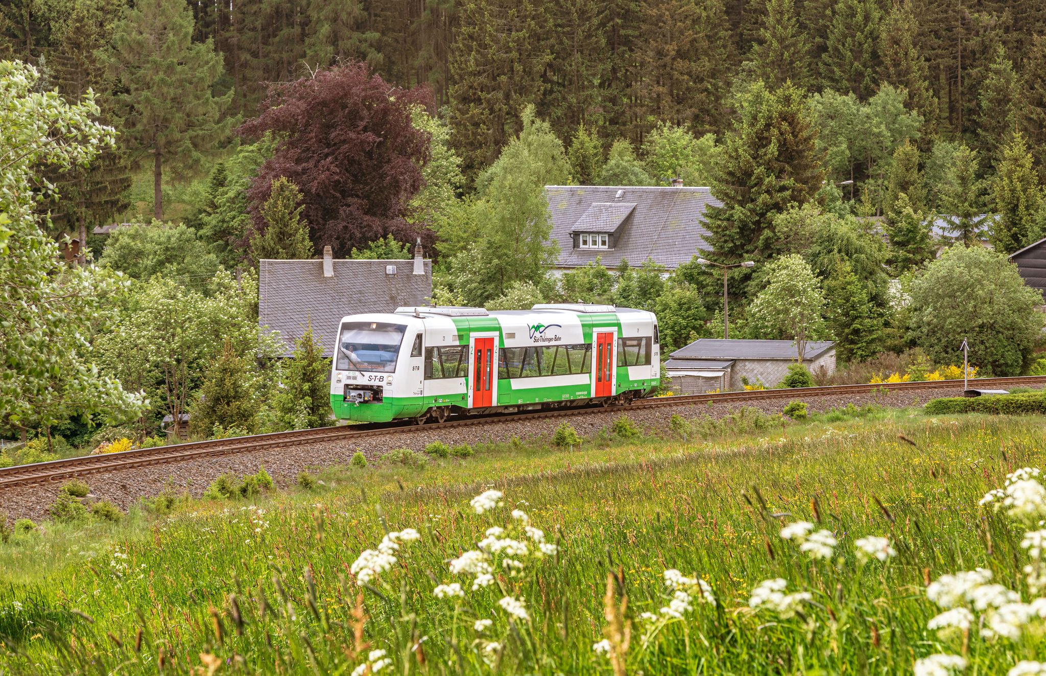
Vom Gleis zum Gipfel – Wandern mit der Süd•Thüringen•Bahn
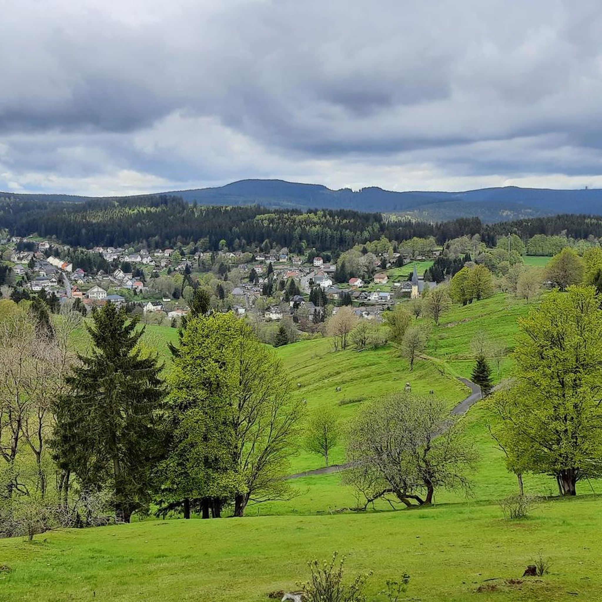
Hiking around Stützerbach
Road Cycling Routes around Stützerbach
Cycling around Stützerbach
MTB Trails around Stützerbach
Running Trails around Stützerbach

Gravel biking around Stützerbach
Other adventures around Stützerbach


Tips from the Community

Not far from the Kickelhahn are the remains of the former hunting lodge.😃👍
1
0

[...] Furthermore, "museum trips" take place on the Rennsteigbahn at irregular intervals. These also stop at the Bad stop. [...] Since June 2014, trains of the Erfurter Bahn have been running to Rennsteig station on weekends and public holidays. At the timetable change in December 2017, the services were taken over by Süd-Thüringen-Bahn for eleven years. [...] The station building is a two-story half-timbered building, which is richly decorated and formerly had a small tower on the roof. The roof is very steep, as snowy winters are to be expected due to its location in the Thuringian Forest, and a steeper roof is statically more stable than a flatter one. The building is very similar to the stations of Manebach, Stützerbach, Schmiedefeld, and Schleusingerneundorf. Directly next to the stop are the Lessingpark on the south side and the Ilm on the north side.
1
0

September 25... Unfortunately still closed.
0
0

Downhill trail from Kickelhahn (861 m) to Großer Hermannstein (761 m).
1
0

The Neue Gehlberger Hütte is located on the 978-meter-high Schneekopf mountain and is the highest-altitude serviced hut in Thuringia. It offers a cozy hiking hostel with shared rooms and a restaurant serving traditional Thuringian cuisine. Opening Hours: The restaurant is open daily from 10 a.m. to 5 p.m. – longer in summer. Breakfast for guests is served from 8 a.m. to 10 a.m.
3
0

Even if the ascent is not possible in winter, the view from below also offers a good outlook and comfortable benches for a break
1
0

The simple late baroque functional building was hastily erected in the summer of 1783 to serve as a guest house for Karl August and his hunting party. Building materials were obtained from the ruins of Ilmenau Castle and the surrounding forest. Goethe often spent time here as a guest. The museum's exhibition is well worth seeing because it offers insights into the hunting habits and social life of the Weimar court. You can find further information and opening times here: https://www.ilmenau.de/de/freizeit/museen-und-börsen/museum-jagdhaus-gabelbach/.
6
0

Open it would have been even nicer, start of the IXS descent
0
0
Frequently Asked Questions
What kind of terrain can I expect on mountaineering routes around Stützerbach?
The mountaineering routes around Stützerbach are primarily within the Thuringian Forest, characterized by dense woods, picturesque valleys, and gentle streams. You'll encounter numerous peaks and elevated terrain, offering challenging hikes rather than technical climbing. The trails often feature steady climbs and rewarding views, immersing you in the natural elevation of the landscape.
Are there any circular mountaineering routes in the Stützerbach area?
Yes, several routes offer a circular experience. For example, the Highest Point of the Rennsteig – Schmücke Lodge and Beer Garden loop from Kernzone Schneekopfmoor is a moderate 8.8 km loop. Another option is the Kickelhahn Tower – Kickelhahn Observation Tower loop from Ilmenau, which is a 11.1 km moderate path with significant ascent.
What are some notable natural features or landmarks to see along the routes?
The region is rich in natural beauty and historical sites. You can visit the Kickelhahn Tower, offering expansive views, or the Schneekopf Summit and Observation Tower. The enchanting Finsteres Loch Gorge, with its wooden bridge and small waterfall, is also a highlight, made famous by Goethe.
What is the best time of year for mountaineering in Stützerbach?
Stützerbach is a state-recognized climatic health resort, offering pleasant conditions for hiking for much of the year. While the Thuringian Forest is beautiful in spring, summer, and autumn, winter also transforms the area into a destination for activities like snowshoe hiking. Always check local weather conditions before heading out.
Are the mountaineering routes around Stützerbach suitable for beginners?
All routes featured in this guide are rated as moderate, meaning they require a reasonable level of fitness and some hiking experience. While not technically difficult, they do involve elevation gains and can be strenuous. For a good introduction, consider the Highest Point of the Rennsteig – Schmücke Lodge and Beer Garden loop, which is 8.8 km with a manageable elevation gain of 187 meters.
Are there any family-friendly mountaineering options in the area?
While the routes in this guide are rated moderate, the broader Stützerbach area offers a variety of trails. The region's emphasis on hiking and scenic views means many paths are suitable for families with older children who are accustomed to longer walks. The Doktor-Wald-Weg, for instance, focuses on forest bathing and offers a more relaxed experience through dense forests.
How long do the mountaineering routes typically take to complete?
The duration varies depending on the route and your pace. For example, the Highest Point of the Rennsteig – Schmücke Lodge and Beer Garden loop typically takes about 2 hours 30 minutes. Longer routes, such as the Kickelhahn Observation Tower – Kickelhahn Tower loop from Manebach, can take around 4 hours 48 minutes to complete.
What are the elevation gains like on these routes?
The routes around Stützerbach feature varying but significant elevation gains, contributing to their 'mountaineering' character. For instance, the Kickelhahn Tower – Kickelhahn Observation Tower loop from Ilmenau involves an ascent of over 434 meters, while the Kickelhahn Observation Tower – Kickelhahn Tower loop from Manebach has an elevation gain of over 482 meters.
Are there any viewpoints offering panoramic scenery?
Absolutely. The region is known for its rewarding views. The Panoramatrail Stützerbach encircles the climatic health resort, providing magnificent panoramic views of the village and its surroundings. Additionally, the Kickelhahn Tower and Plänckner's viewpoint (Großer Beerberg) are excellent spots for expansive vistas.
Can I find places to eat or stay near the mountaineering routes?
Stützerbach is a climatic health resort, so you'll find various amenities. The Neue Gehlberger Hütte on Schneekopf is a mountain hut that can offer refreshments. Many routes also pass through or near villages like Ilmenau and Manebach, where you can find cafes, pubs, and accommodation options.
Is public transport available to access the trailheads?
Stützerbach is well-integrated into the regional transport network. While specific trailhead access by public transport can vary, towns like Ilmenau, which serve as starting points for some routes like the Kickelhahn Observation Tower – Kickelhahn Tower loop from Ilmenau, are generally accessible by bus or train, connecting you to the wider Thuringian Forest region.
What makes the Thuringian Forest a unique place for mountaineering?
The Thuringian Forest, where Stützerbach is nestled, is an extensive low mountain range known for its dense woods, gentle streams, and picturesque valleys. It offers a unique blend of challenging hikes through natural elevation and serene forest bathing experiences, making it ideal for those seeking strenuous outdoor pursuits amidst revitalizing natural surroundings.
Most popular routes around Stützerbach
Most popular attractions around Stützerbach

Get inspired with the komoot mobile app


Explore more
Browse the best Mountain Hikes & Routes in other regions.
