Steinacher Forst rechts der Saale
Steinacher Forst rechts der Saale
The best cycling routes around Steinacher Forst rechts der Saale
4.5
(4696)
22,436
riders
726
rides
Touring cycling routes around Steinacher Forst rechts der Saale traverse an uninhabited and densely forested region within the Bavarian Rhön. The area features varied topography, including hills and valleys, with the Sommerberg reaching 533 meters. It is integrated into the wider Rhön Biosphere Reserve and is characterized by its proximity to the Saale River, which winds through the landscape. Cyclists can expect routes through woodlands and along river valleys.
Best touring cycling routes around Steinacher Forst rechts der Saale
- The…
Last updated: July 1, 2026
4.6
(69)
271
riders
Hard bike ride. Good fitness required. You may need to push your bike for some segments of this route.
4.5
(10)
101
riders
46.5km
02:45
270m
270m
Moderate bike ride. Good fitness required. Mostly paved surfaces. Suitable for all skill levels.

Sign up for free
5.0
(6)
31
riders
Moderate bike ride. Good fitness required. Mostly paved surfaces. Suitable for all skill levels.
5.0
(8)
32
riders
Moderate bike ride. Good fitness required. Mostly paved surfaces. Suitable for all skill levels.
3.8
(4)
28
riders
Hard bike ride. Good fitness required. You may need to push your bike for some segments of this route.
Get access to more routes and recommendations from other explorers.
Sign up for free
Already have an account?
Our route recommendations are based on thousands of hikes, rides, and runs completed by other people on komoot.
Start today with a free account
Your next adventure awaits.
Login or Signup
Popular around Steinacher Forst rechts der Saale
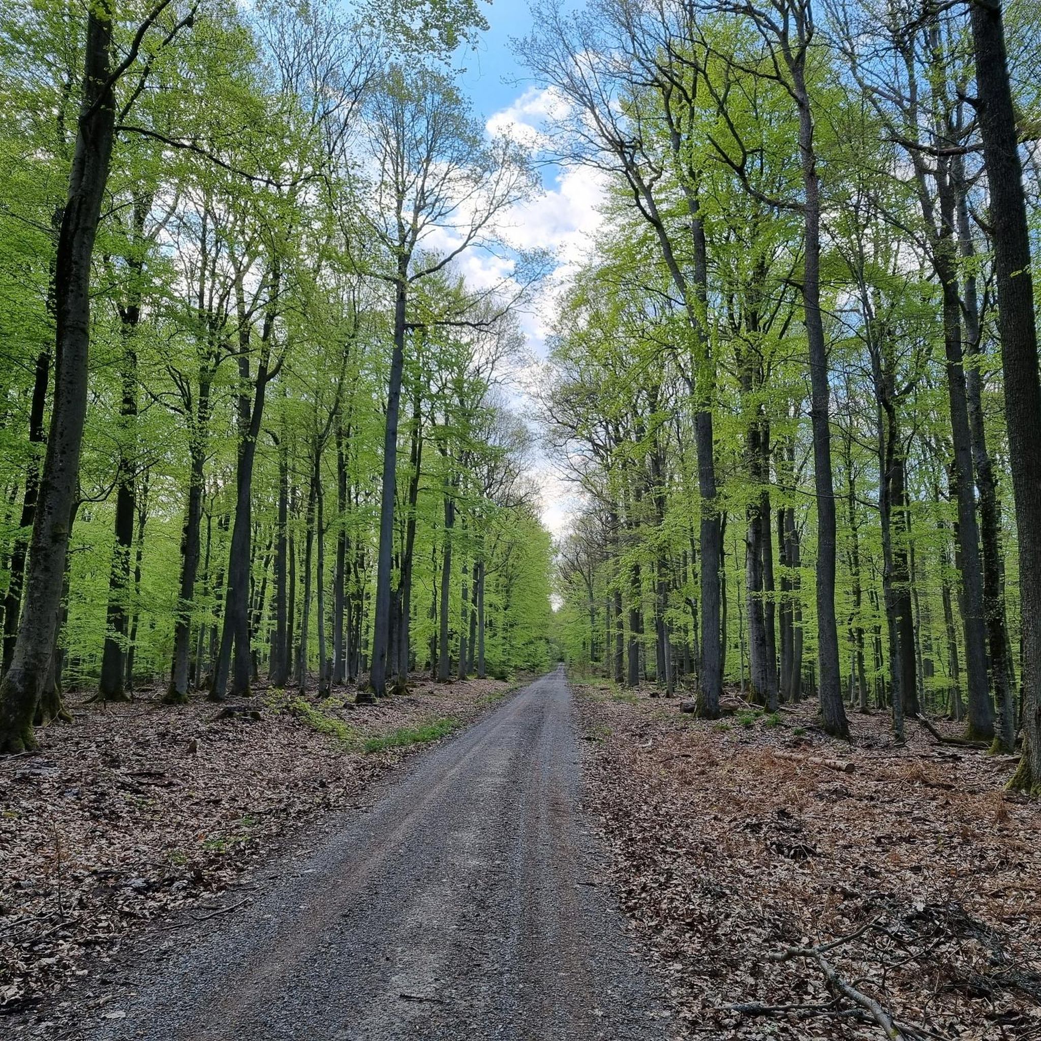
MTB Trails around Steinacher Forst rechts der Saale
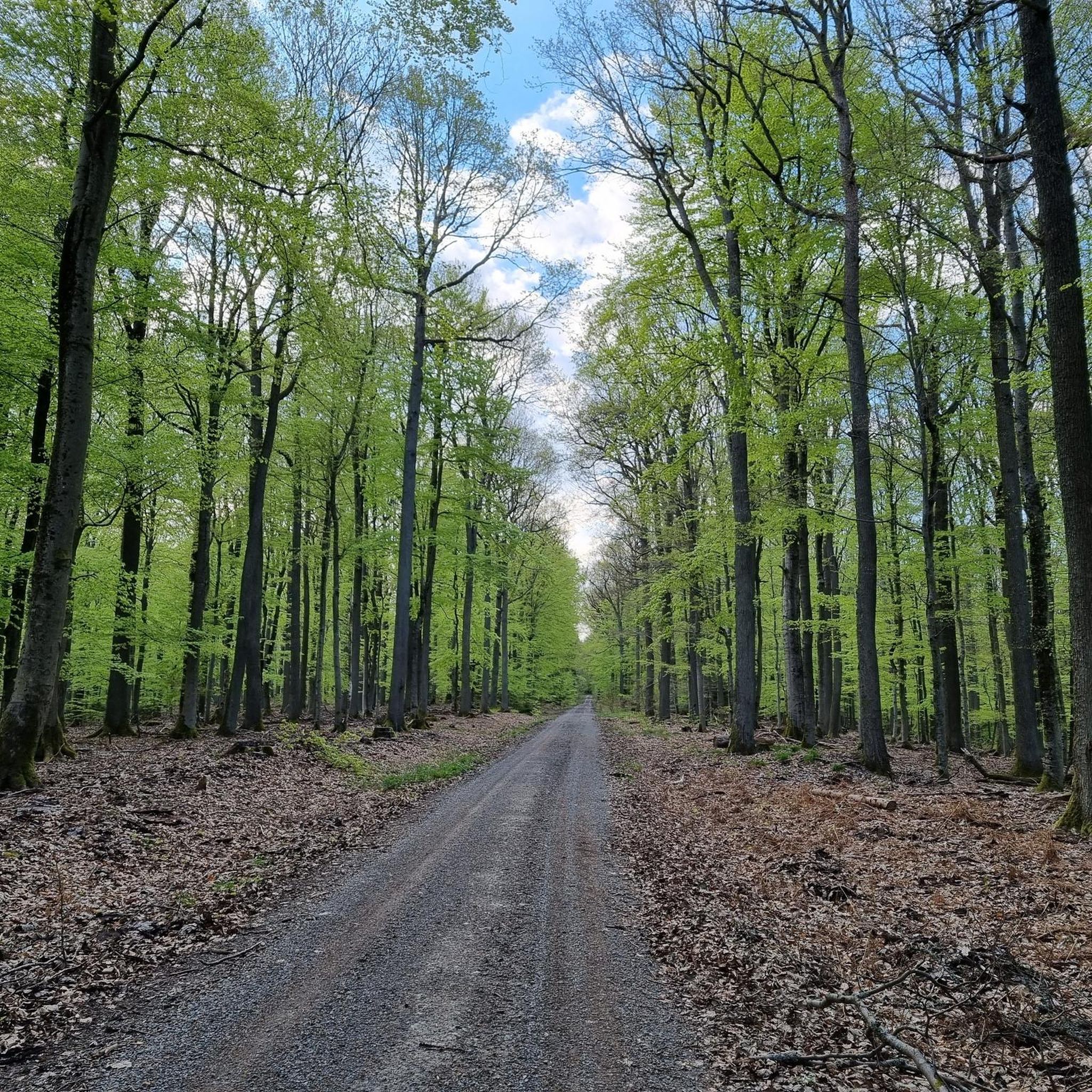
Running Trails around Steinacher Forst rechts der Saale
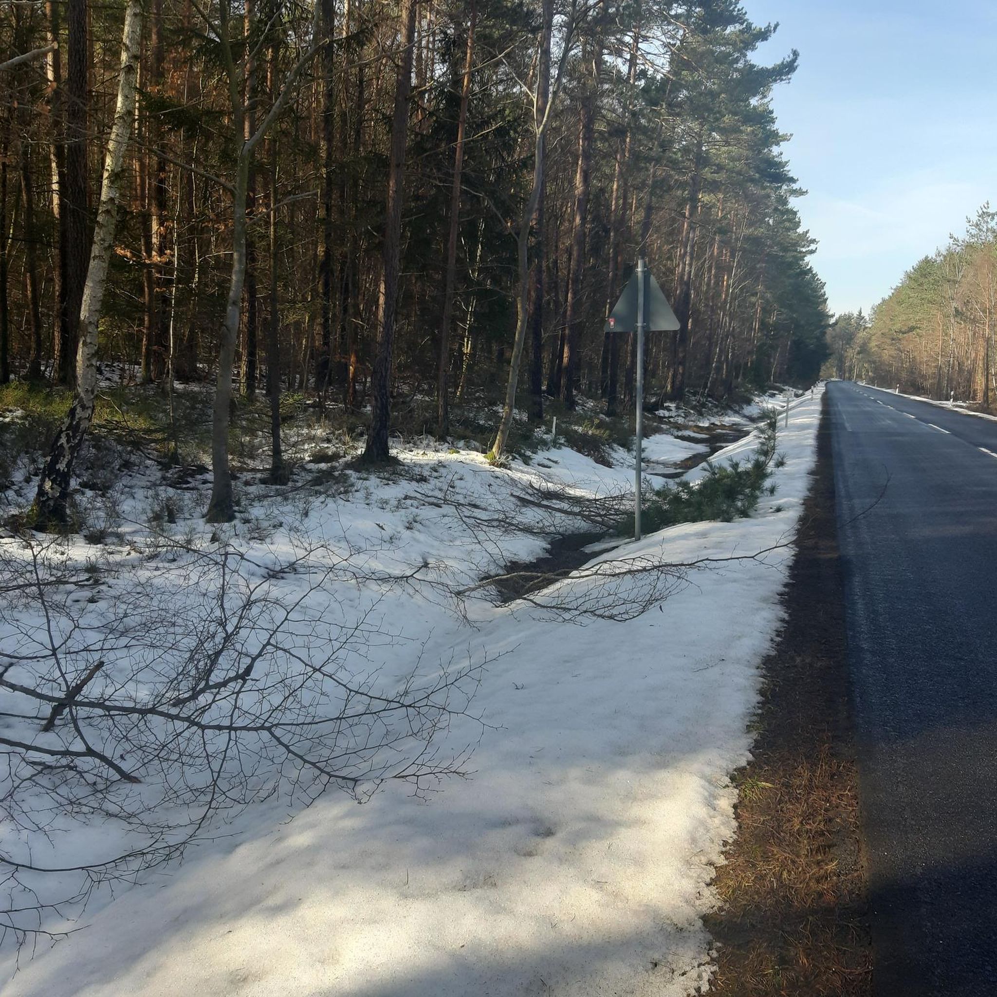
Road Cycling Routes around Steinacher Forst rechts der Saale
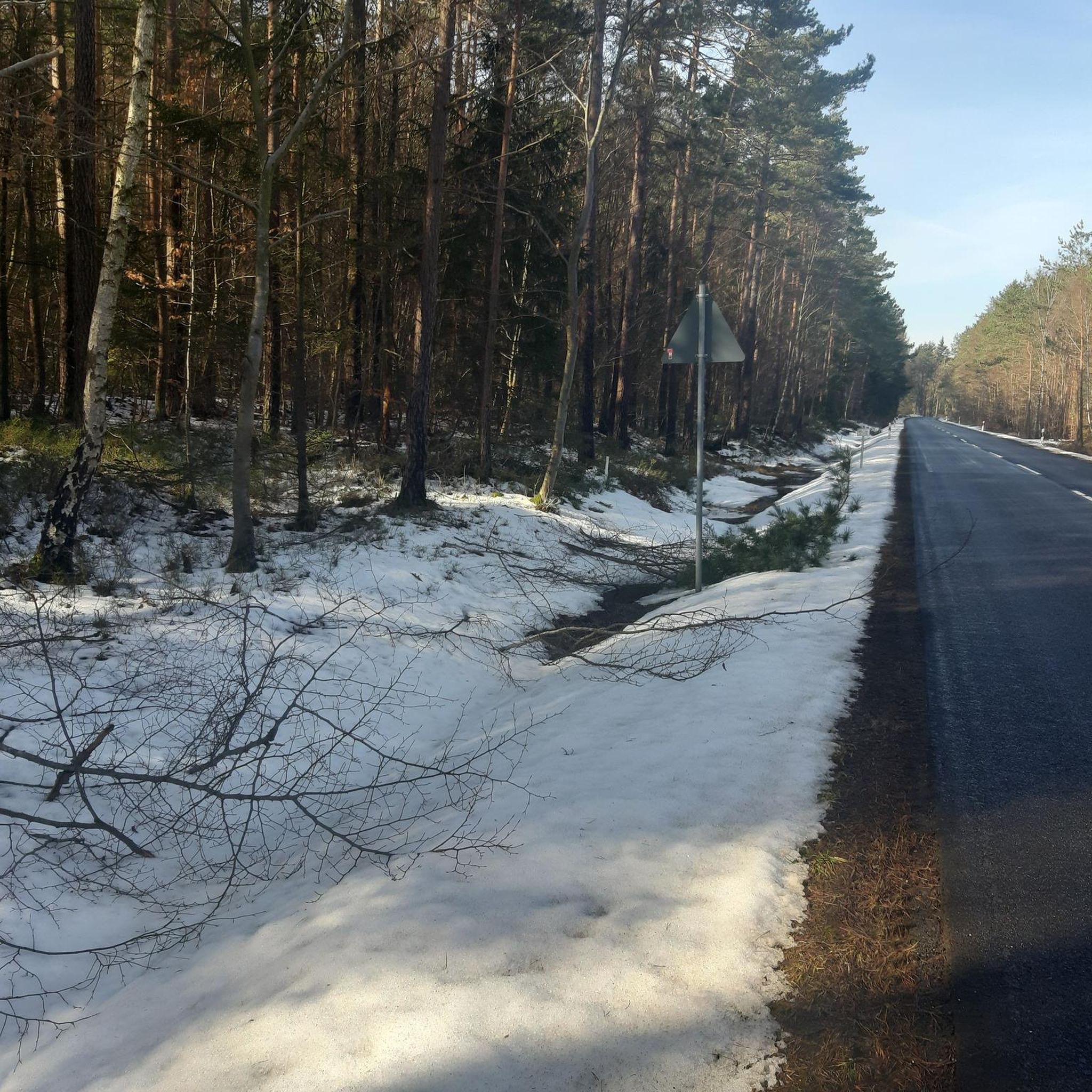
Hiking around Steinacher Forst rechts der Saale

Gravel biking around Steinacher Forst rechts der Saale

Mountain Hikes around Steinacher Forst rechts der Saale
Tips from the Community

The stone bridge shown in the picture is the flood bridge in Steinach, a district of Bad Bocklet in Lower Franconia, Bavaria. The bridge was rebuilt in 2017 as part of a flood protection project and is part of a cycle path.
0
0

very nice to drive there too!
0
0
beautiful lush green meadows, small beautiful villages and the forest in sight
0
0
Super beautiful! Right through the fields and to the right and left, further and higher the forest
0
0

In the middle of nature through meadows with autumn crocuses
0
0


Very beautiful section of the Franconian Saale cycle path.
9
0

Kissingen is a very beautiful town, really beautiful along the promenade.
0
0
Frequently Asked Questions
How many touring cycling routes are available in Steinacher Forst rechts der Saale?
There are over 730 touring cycling routes in and around Steinacher Forst rechts der Saale. These routes cater to various skill levels, with 152 easy, 288 moderate, and 290 difficult options available.
What kind of landscapes can I expect to see while cycling in Steinacher Forst rechts der Saale?
The region offers a diverse landscape, characterized by dense, expansive woodlands of the Steinacher Forst itself, and the scenic Saale River valley. As part of the larger Rhön Biosphere Reserve, you'll encounter a mix of impressive hills, romantic valleys, and diverse flora. The nearby Franconian Saale features pronounced river meanders, and the broader Rhön region is known for high moors and mountains like the Wasserkuppe.
Are there any notable landmarks or attractions along the touring cycling routes?
Yes, the area is rich in historical and natural attractions. You can find several castles and ruins, such as the Osterburg castle ruins and Aschach Castle. The Saale Cycle Route also passes through charming towns and vineyards. For specific routes, consider the Jörgentor City Gate (Münnerstadt) – View of the Rhön loop from Roth an der Saale, which offers views of the Rhön region.
Can I cycle along the Saale River near Steinacher Forst rechts der Saale?
Absolutely. The region is closely integrated with the renowned Saale Cycle Route, which follows the course of the Saale River. Many touring cycling routes, like the Bad Neustadt Marketplace – Saale River Pedestrian Bridge loop from Niederlauer, directly follow the Saale River, offering picturesque views and varied terrain.
What is the best time of year for touring cycling in Steinacher Forst rechts der Saale?
While touring cycling is enjoyable throughout the warmer months, spring and autumn often provide the most pleasant conditions with milder temperatures and beautiful scenery. Spring brings blooming flora, while autumn showcases vibrant fall foliage across the dense forests and valleys of the Rhön Biosphere Reserve.
Are there family-friendly touring cycling routes in Steinacher Forst rechts der Saale?
Yes, the region offers 152 easy touring cycling routes suitable for families. These often follow flatter sections along river valleys, providing a more relaxed experience. Routes like the Bad Neustadt Marketplace – Saale River Pedestrian Bridge loop from Niederlauer are moderate and follow the Saale River, which can be suitable for families with some cycling experience.
Can I bring my dog on the touring cycling routes?
While many outdoor areas in Germany are dog-friendly, it's always recommended to keep dogs on a leash, especially in forested areas like Steinacher Forst and within the Rhön Biosphere Reserve, to protect wildlife and ensure the safety of other cyclists and hikers. Always check local regulations for specific routes or protected areas.
What do other touring cyclists say about the routes in Steinacher Forst rechts der Saale?
The touring cycling routes in Steinacher Forst rechts der Saale are highly regarded by the komoot community, with an average rating of 4.5 stars from over 4,000 reviews. Cyclists often praise the varied terrain, the tranquil forested sections, and the scenic paths along the Saale River.
Are there any circular touring cycling routes available?
Yes, many of the touring cycling routes in the region are designed as loops. Examples include the Bad Neustadt Marketplace – Saale River Pedestrian Bridge loop from Niederlauer, the Jörgentor City Gate (Münnerstadt) – View of the Rhön loop from Roth an der Saale, and the Bridge over the Streu – Streu River Trail loop from Hohenroth, offering convenient starting and ending points.
What is the terrain and elevation like on the touring cycling routes?
The terrain varies significantly. Routes along the Saale River valley tend to be flatter, while those extending into the Rhön Biosphere Reserve feature more hills and some steep climbs. For instance, the Jörgentor City Gate (Münnerstadt) – View of the Rhön loop from Roth an der Saale route involves over 600 meters of elevation gain, making it a challenging option, whereas river-focused routes have less ascent.
Are there opportunities to see wildlife while cycling?
As Steinacher Forst rechts der Saale is an uninhabited, completely forested area within the Rhön Biosphere Reserve, there are good opportunities for wildlife spotting. The reserve is known for its diverse flora and fauna, so keeping an eye out for local wildlife, especially in quieter sections, is possible.
Are there any spa towns or wellness facilities nearby for relaxation after a ride?
Yes, the vicinity of spa towns like Bad Kissingen offers additional recreational opportunities. You can find wellness facilities and thermal baths, such as the KissSalis Therme, which is featured in the Bad Kissingen Rose Garden – KissSalis Therme loop from Roth an der Saale route, providing a perfect way to relax after an active day of cycling.
Most popular routes around Steinacher Forst rechts der Saale
Most popular attractions around Steinacher Forst rechts der Saale

Get inspired with the komoot mobile app


Explore more
Browse the best Cycling routes in other regions.
