The best walks and hikes around Steinacher Forst rechts der Saale
4.6
(9772)
37,811
hikers
1,285
hikes
Hiking around Steinacher Forst rechts der Saale offers exploration within a 19.85 km² uninhabited and entirely forested area in the Bavarian Rhön. The region is characterized by dense woodlands, providing a serene environment for nature enthusiasts. Its highest elevation is the Sommerberg, reaching 533 meters above sea level, contributing to varied topography. This area is part of the larger Rhön region, known for its natural charm and extensive network of hiking trails.
Best hiking trails around Steinacher Forst rechts der…
Last updated: July 11, 2026
4.3
(6)
30
hikers
Moderate hike. Good fitness required. Easily-accessible paths. Suitable for all skill levels.
5.0
(2)
10
hikers
Moderate hike. Good fitness required. Easily-accessible paths. Suitable for all skill levels.

Sign up for free
5.0
(3)
14
hikers
Easy hike. Great for any fitness level. Easily-accessible paths. Suitable for all skill levels.
3.5
(2)
14
hikers
Moderate hike. Good fitness required. Easily-accessible paths. Suitable for all skill levels.
5.0
(3)
16
hikers
Moderate hike. Good fitness required. Easily-accessible paths. Suitable for all skill levels.
Get access to more routes and recommendations from other explorers.
Sign up for free
Already have an account?
Our route recommendations are based on thousands of hikes, rides, and runs completed by other people on komoot.
Start today with a free account
Your next adventure awaits.
Login or Signup
Popular around Steinacher Forst rechts der Saale
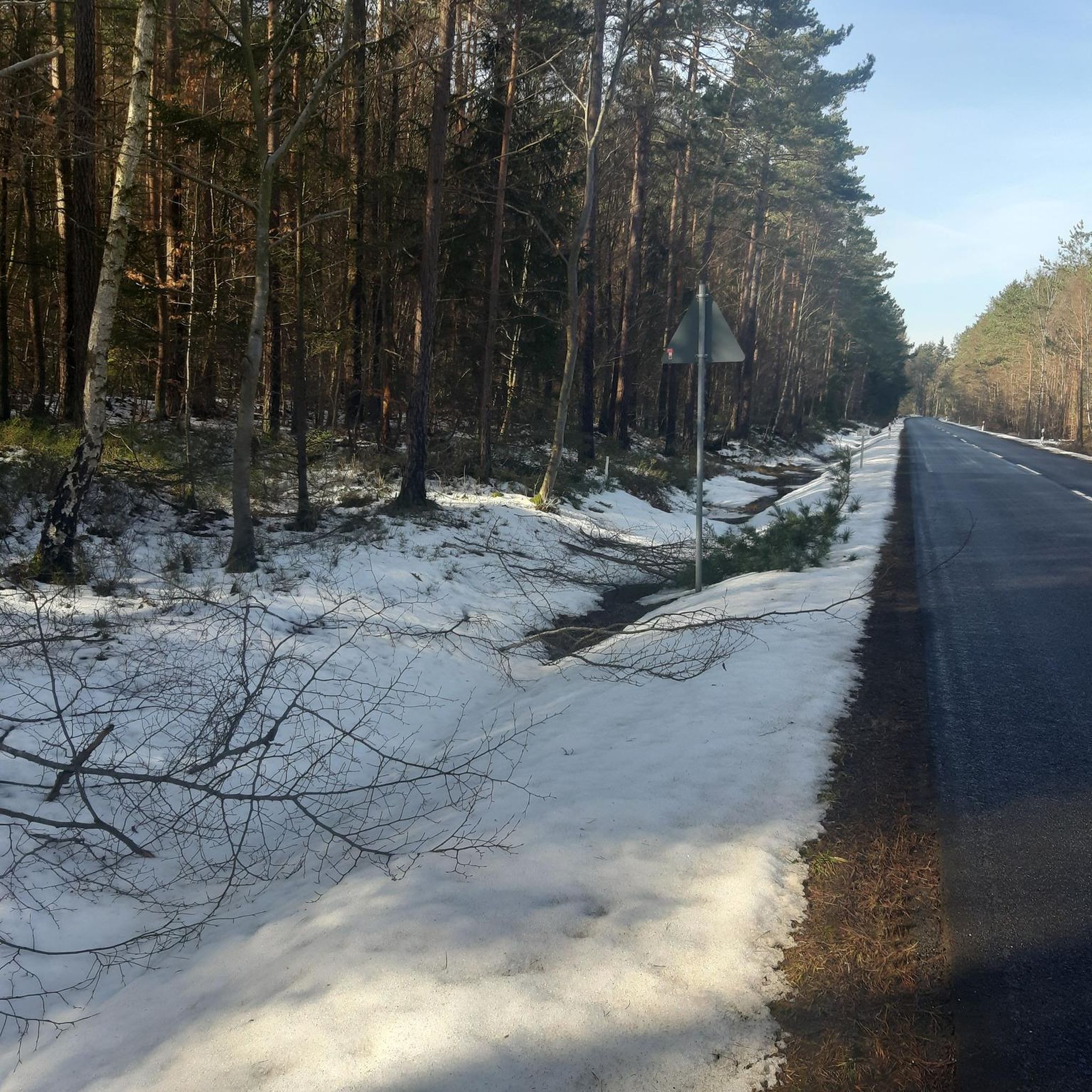
Cycling around Steinacher Forst rechts der Saale
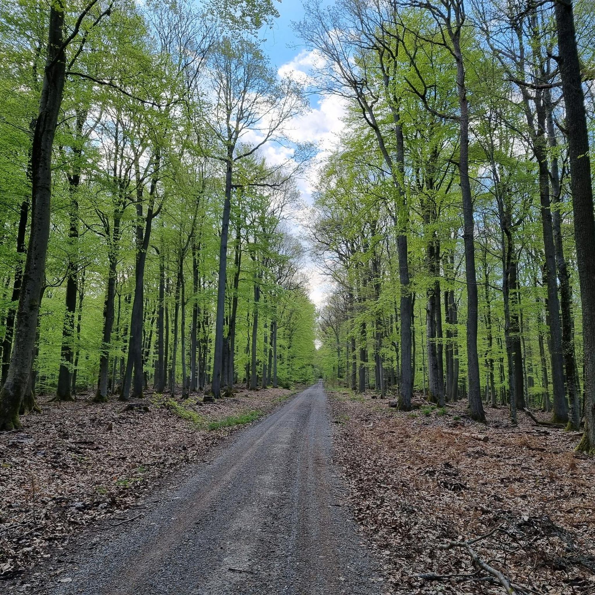
MTB Trails around Steinacher Forst rechts der Saale
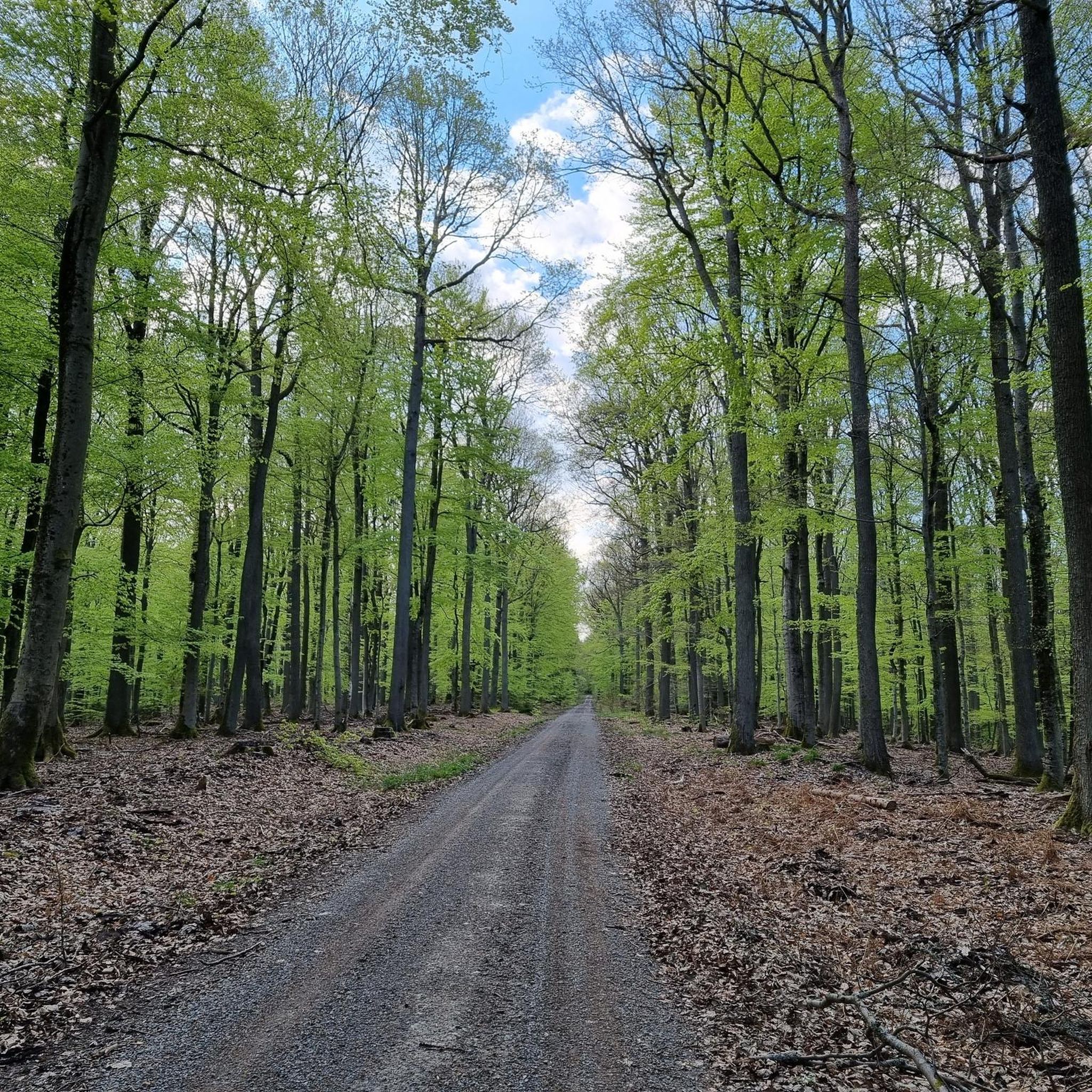
Running Trails around Steinacher Forst rechts der Saale
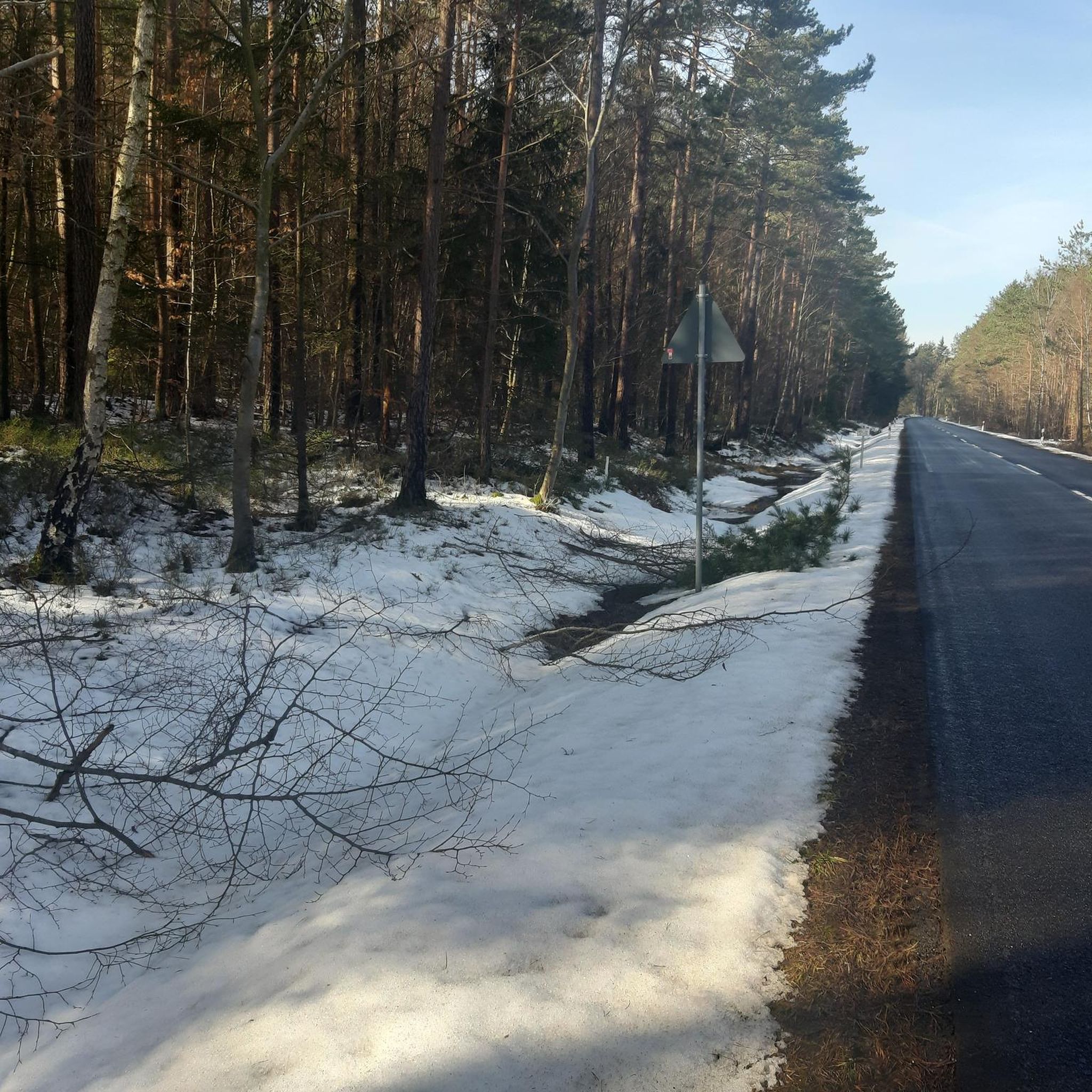
Road Cycling Routes around Steinacher Forst rechts der Saale

Gravel biking around Steinacher Forst rechts der Saale

Mountain Hikes around Steinacher Forst rechts der Saale
Tips from the Community

beautiful cycle path along the Saale
0
0

The bridge is located in the Saalewiesen, a natural landscape that acts as a fresh air corridor for Bad Neustadt and Salz.
0
0

The Franconian Saale River flows right through Bad Neustadt and shapes the expansive meadow landscapes surrounding the town. From the bridge, there is a beautiful view of the river and the surrounding Saale meadows.
0
0

very nice to drive there too!
0
0

In the middle of nature through meadows with autumn crocuses
0
0

Great path along the city wall
0
0

A beautiful path
3
0
A largely well-preserved city wall.
3
0
Frequently Asked Questions
What kind of terrain can I expect when hiking in Steinacher Forst rechts der Saale?
The area is characterized by dense woodlands, offering a serene environment for nature enthusiasts. You'll find varied topography, with the highest elevation being the Sommerberg at 533 meters above sea level. This means a mix of gentle forest paths and some moderate ascents, providing diverse experiences for hikers.
Are there any easy hiking trails suitable for beginners or a relaxed stroll?
Yes, Steinacher Forst rechts der Saale offers numerous easy trails. For example, the Salzforst Park and Rest Area – Salzforst Loop Trail loop from Leutershausen is an easy 6.4 km path that provides a tranquil walk through the forested Salzforst area. Another easy option is the Pond and Bench Near Hohenroth – Salzforst Park and Rest Area loop from Bad Neustadt an der Saale (VGem), which is about 5.6 km long.
What are the typical distances and durations for hikes in this region?
Hikes in Steinacher Forst rechts der Saale vary in length and duration. You can find shorter, easy routes like the 6.4 km Salzforst Park and Rest Area – Salzforst Loop Trail loop from Leutershausen, which takes around 2 hours. Moderate trails, such as the Wayside Shrine at Niederlauer – Saale Bridge, Oberebersbach loop from Niederlauer, are about 10.2 km and typically take around 2 hours 46 minutes to complete.
Are there any family-friendly hiking options in Steinacher Forst rechts der Saale?
The region's dense woodlands and varied terrain offer many opportunities for family-friendly outings. Easy and moderate trails with gentle elevation changes are ideal for families. Look for routes that are shorter in distance and have minimal elevation gain, such as the easy forest strolls mentioned previously, to ensure an enjoyable experience for all ages.
Can I bring my dog on the hiking trails?
Generally, dogs are welcome on hiking trails in forested areas like Steinacher Forst rechts der Saale. However, it's always recommended to keep your dog on a leash, especially in areas with wildlife or near agricultural land, and to respect local regulations. Please ensure you clean up after your pet to maintain the natural beauty of the area.
Are there any circular walks available?
Yes, many of the trails in Steinacher Forst rechts der Saale are designed as loops, offering convenient circular walks. Examples include the popular Franconian Saale – Arch Bridge at the Saale Meadows loop from Niederlauer and the Salzforst Park and Rest Area – Salzforst Loop Trail loop from Leutershausen, allowing you to start and end at the same point without retracing your steps.
What kind of natural features or viewpoints can I expect to see?
The primary natural feature is the extensive, untouched woodland itself, providing a tranquil and immersive forest experience. While specific unique geological formations or large water bodies within the Forst are not prominent, the area is part of the larger Rhön region, known for its natural charm. The highest point, Sommerberg (533m), offers potential vantage points over the surrounding landscape.
Are there any interesting landmarks or attractions nearby?
While Steinacher Forst rechts der Saale is primarily a natural area, there are several interesting attractions in the broader vicinity. You might consider visiting the Kreuzberg Monastery or the Golgotha group (Three Crosses) on the Kreuzberg. For those interested in historical structures, the Osterburg castle ruins are also nearby.
What do other hikers enjoy most about hiking in Steinacher Forst rechts der Saale?
The area is highly rated by the komoot community, with an average score of 4.6 stars from over 9,000 reviews. Hikers often praise the quiet, dense woodlands and the varied topography that offers both leisurely strolls and more challenging ascents. The unspoiled nature and tranquility are frequently highlighted as major draws.
Is there parking available for hikers?
As a popular hiking destination, there are typically designated parking areas near trailheads and access points to the Steinacher Forst rechts der Saale. Specific parking information can often be found on individual route descriptions or local tourism websites, but generally, you will find options to park your car before starting your hike.
What is the best time of year to go hiking in Steinacher Forst rechts der Saale?
The dense woodlands of Steinacher Forst rechts der Saale offer beautiful hiking opportunities throughout the year. Spring brings fresh greenery and blooming flora, while autumn transforms the forest into a vibrant display of colors. Summer provides cool shade under the tree canopy, and even winter can be magical with snow-covered landscapes, though conditions may require appropriate gear.
How many hiking trails are available in Steinacher Forst rechts der Saale?
There are over 1,200 hiking trails available in Steinacher Forst rechts der Saale, catering to a wide range of preferences and fitness levels. This includes more than 700 easy routes, nearly 500 moderate trails, and a selection of more challenging options.
Most popular routes around Steinacher Forst rechts der Saale
Most popular attractions around Steinacher Forst rechts der Saale

Get inspired with the komoot mobile app


Explore more
Browse the best Hikes in other regions.
